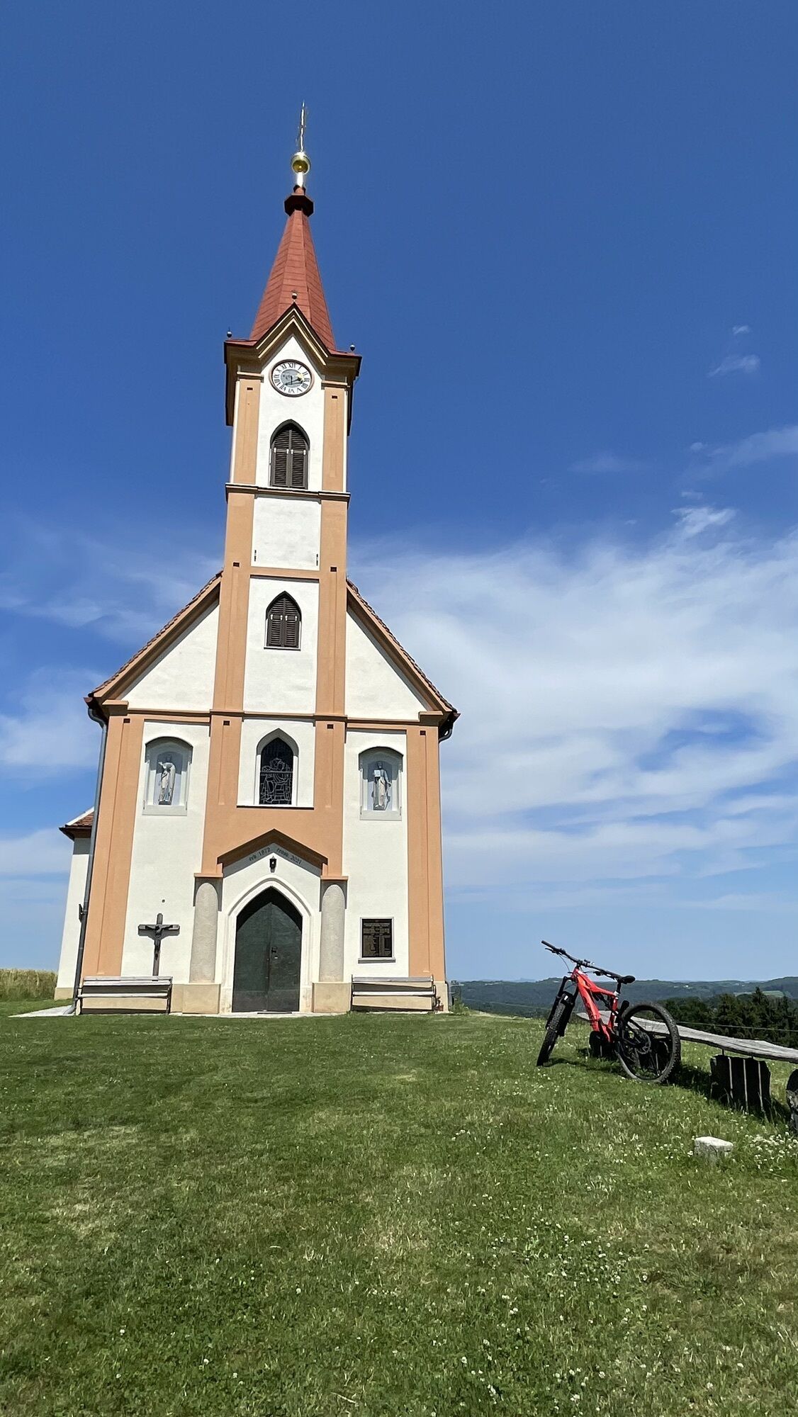
Pfarrkirche Sankt Peter am Ottersbach - Nieslkapelle - Steinhöhe - Sankt Peter am Ottersbach
heavy
Navigate
Navigate
Get this tour on your mobile
Pfarrkirche Sankt Peter am Ottersbach - Nieslkapelle - Steinhöhe - Sankt Peter am Ottersbach
heavy
Cycling
35.70
km
Scan the QR code and start navigation in the bergfex app

Hiking & Tracking


Distance
35.70
km
Duration
02:38
h
Ascent
658
m
Sea level
268 -
463
m
Track download
Pfarrkirche Sankt Peter am Ottersbach - Nieslkapelle - Steinhöhe - Sankt Peter am Ottersbach
heavy
Cycling
35.70
km


Route
Pfarrkirche Sankt Peter am Ottersbach
(271 m)
Place of worship
0.1 km
Wiersdorf
(281 m)
Village
3.4 km
Nieslkapelle
(386 m)
Place of worship
8.5 km
Jahrbach
(301 m)
Settlement
15.7 km
Steinhöhe
(424 m)
Summit
24.9 km
Grasdorfberg
(384 m)
Settlement
25.5 km
Pfarrkirche Sankt Peter am Ottersbach
(271 m)
Place of worship
35.6 km
Route
Pfarrkirche Sankt Peter am Ottersbach - Nieslkapelle - Steinhöhe - Sankt Peter am Ottersbach
heavy
Cycling
35.70
km
Pfarrkirche Sankt Peter am Ottersbach
(271 m)
Place of worship
0.1 km
Sankt Peter am Ottersbach
(272 m)
Village
0.1 km
Zölling
(272 m)
Corridor/terrain
0.6 km
Entschendorf am Ottersbach
(278 m)
Settlement
1.6 km
Wiersdorf
(281 m)
Village
3.4 km
Lugitsch
(312 m)
Village
4.9 km
Theußenegg
(394 m)
Corridor/terrain
6.2 km
Pöllauberg
(389 m)
Settlement
7.6 km
Gstättenfeld
(374 m)
Settlement
8.5 km
Nieslkapelle
(386 m)
Place of worship
8.5 km
Oberzirknitz
(316 m)
Village
10.5 km
Jahrbachberg
(362 m)
Corridor/terrain
13.0 km
Jahrbach
(301 m)
Settlement
15.7 km
Wetzelsdorf bei Jagerberg
(304 m)
Village
16.5 km
Glojachberg
(402 m)
Corridor/terrain
19.4 km
Greith
(430 m)
Corridor/terrain
20.1 km
Glojach
(410 m)
Settlement
21.8 km
Greith
(414 m)
Corridor/terrain
23.0 km
Wölferberg
(429 m)
Settlement
24.0 km
Steinhöhe
(424 m)
Summit
24.9 km
Grasdorfberg
(384 m)
Settlement
25.5 km
Grasdorf
(292 m)
Village
27.9 km
Wiersdorfberg
(348 m)
Corridor/terrain
30.6 km
Wiersdorf
(281 m)
Village
32.1 km
Entschendorf am Ottersbach
(278 m)
Settlement
34.0 km
Zölling
(272 m)
Corridor/terrain
35.1 km
Pfarrkirche Sankt Peter am Ottersbach
(271 m)
Place of worship
35.6 km
Sankt Peter am Ottersbach
(272 m)
Village
35.6 km
No reviews yet
Popular tours in the neighbourhood
- 4.3
Kaskögerlweg - Poppendorf bei Gnas
lightThematic route9.73 km - 4.8
Herzspur Bad Gleichenberg - Der Liebe auf der Spur
lightHiking8.45 km - 4.2
Kaskögerlweg Poppendorf, Österreich
lightThematic route11.3 km - 4.6
Kogelrundweg
mediumThematic route6.80 km - 3.0
Etappe 07 Murradweg Leibnitz - Bad Radkersburg
lightCycling51.4 km - 4.8
Kraftquellen-Tour
mediumCycling31.5 km - 3.9
Ludersdorfer Bankerlweg
mediumHiking7.78 km - 4.7
Wein- und Turmweg in St. Peter am Ottersbach
lightHiking8.32 km - 4.1
Kaskögerlweg
lightHiking9.48 km - 4.2
Bahnwanderweg Feldbach-Bad Gleichenberg
mediumHiking18.8 km
Hiking & Tracking

Over 550.000 tour suggestions, detailed maps and an intuitive route planner make the app a must-have for all nature enthusiasts.

Don't miss out on offers and inspiration for your next holiday
Subscribe to the newsletter
Error
An error has occurred. Please try again.Thank you for your registration
Your e-mail address has been added to the mailing list.
Tours throughout Europe
Austria Switzerland Germany Italy Slovenia France Netherlands Belgium Poland Liechtenstein Czechia Slovakia Spain Croatia Bosnia and Herzegovina Luxembourg Andorra Portugal Iceland United Kingdom Ireland Greece Albania North Macedonia Malta Norway Montenegro Moldova Kosovo Hungary San Marino Romania Estonia Latvia Belarus Cyprus Lithuania Serbia Bulgaria Monaco Denmark Sweden Finland