Bad Gleichenberg - Heuriger Dreiländerblick - Karlhöhe - Pfarrkirche hl. Joseph
heavy
Navigate
Navigate
Get this tour on your mobile
Bad Gleichenberg - Heuriger Dreiländerblick - Karlhöhe - Pfarrkirche hl. Joseph
heavy
Cycling
40.60
km
Scan the QR code and start navigation in the bergfex app

Hiking & Tracking


Distance
40.60
km
Duration
02:47
h
Ascent
491
m
Sea level
259 -
435
m
Track download
Bad Gleichenberg - Heuriger Dreiländerblick - Karlhöhe - Pfarrkirche hl. Joseph
heavy
Cycling
40.60
km


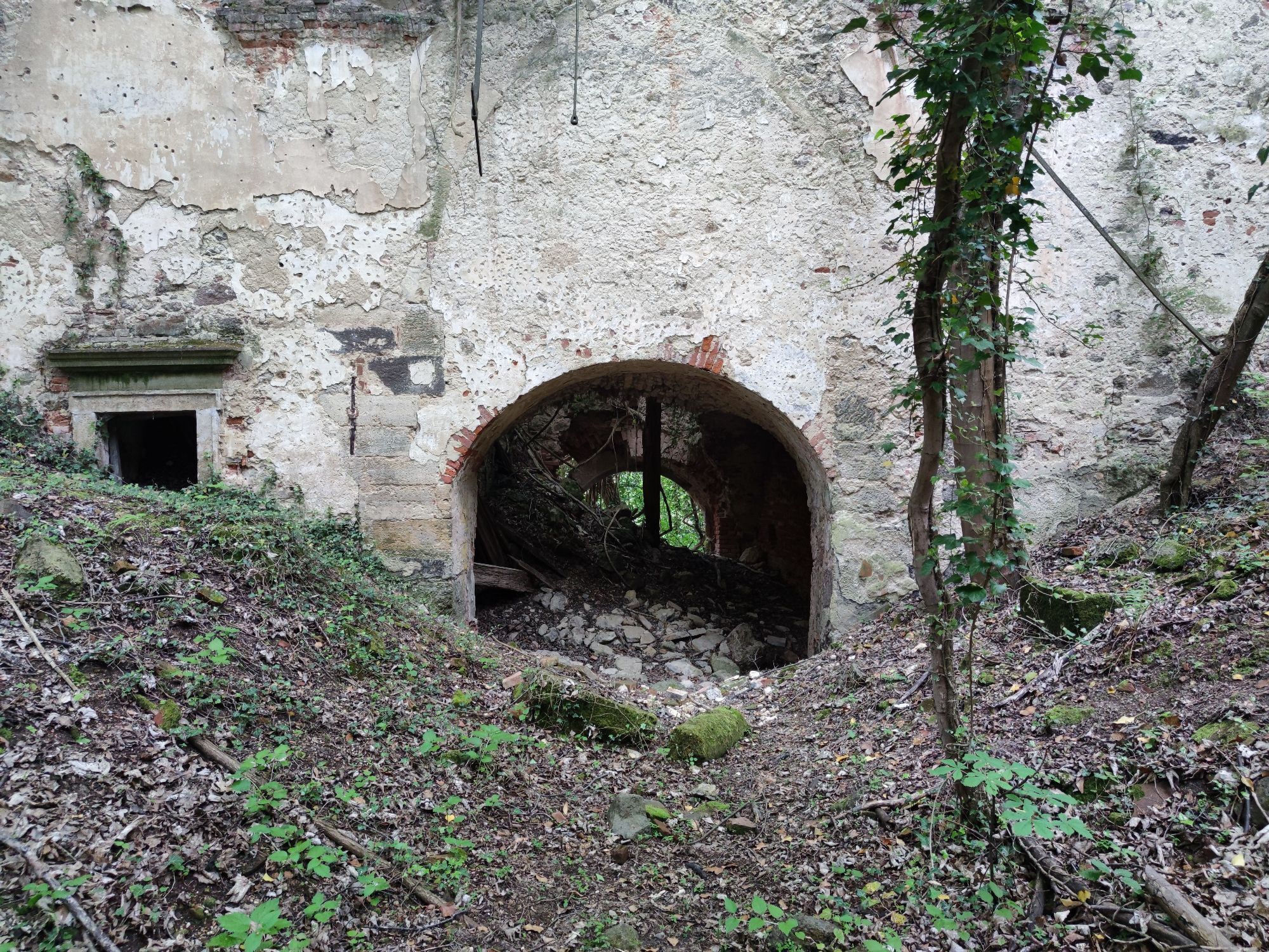
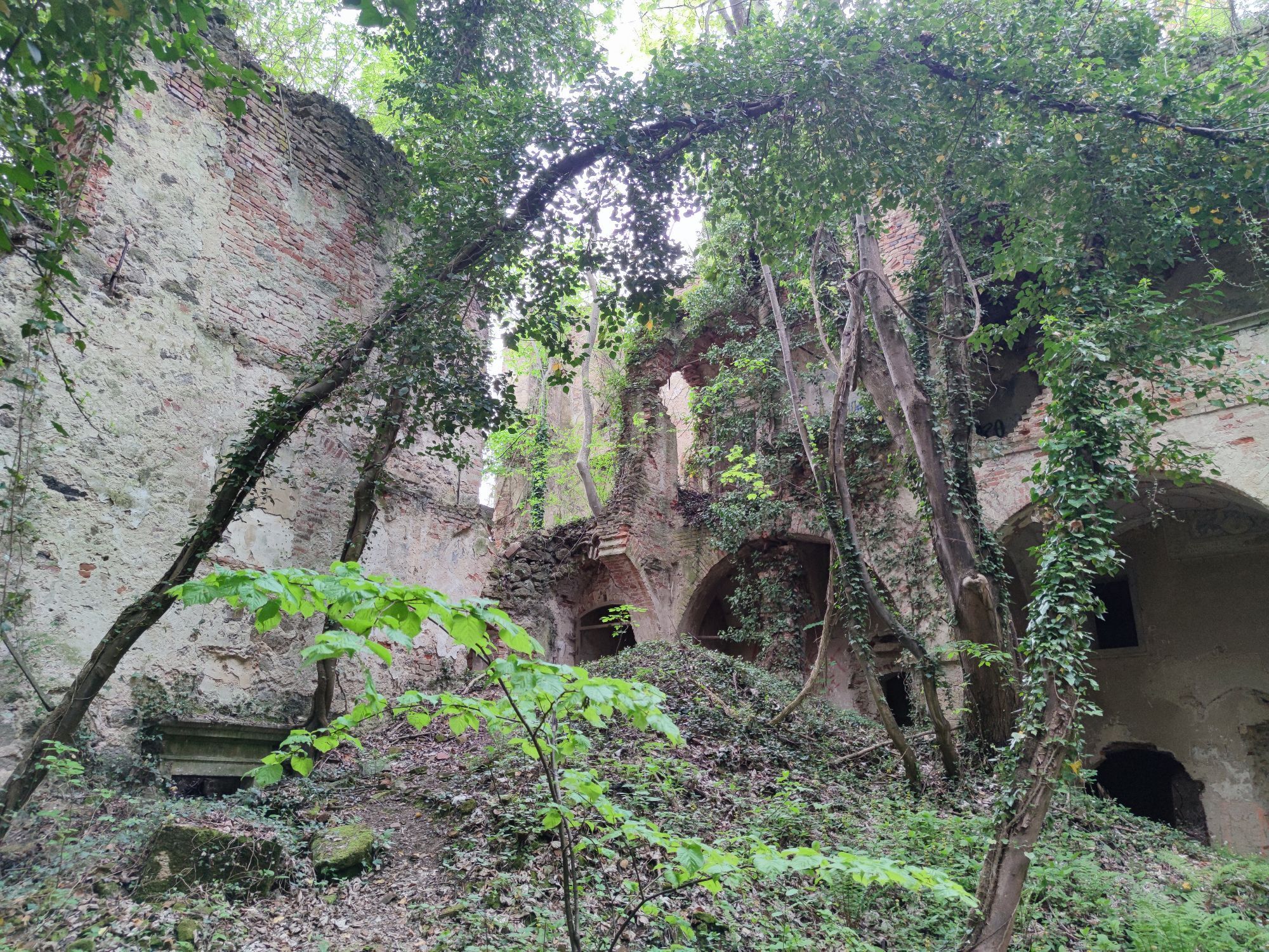
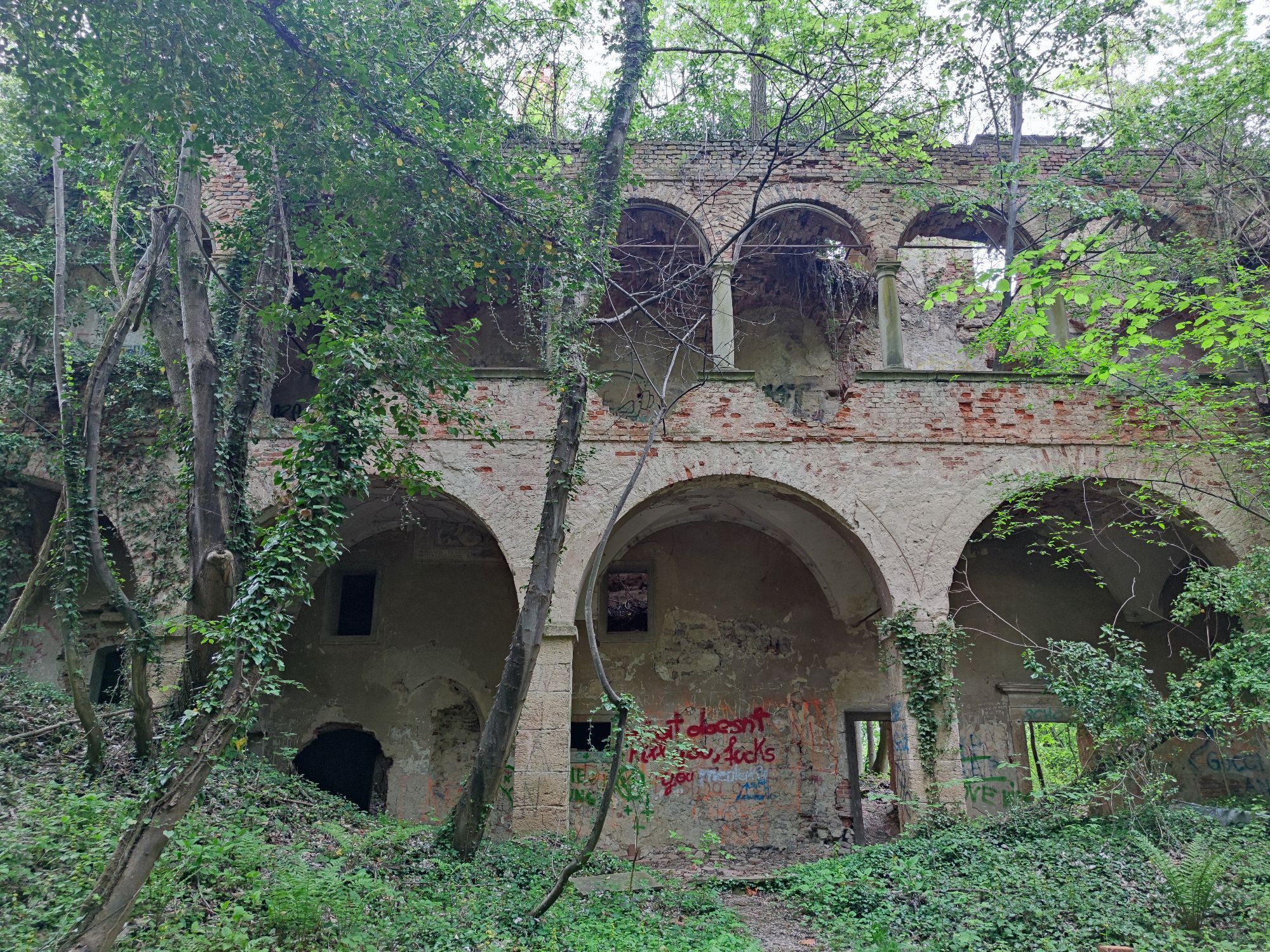
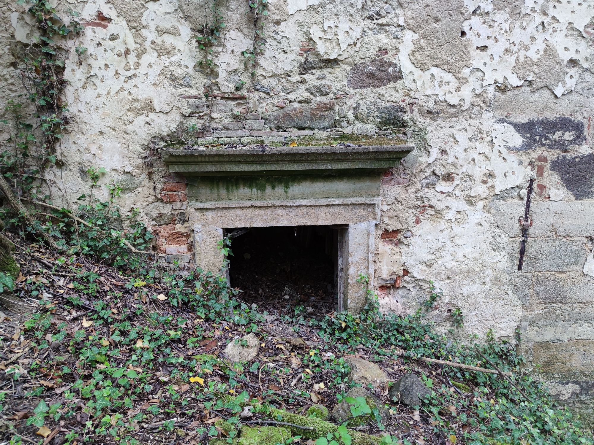
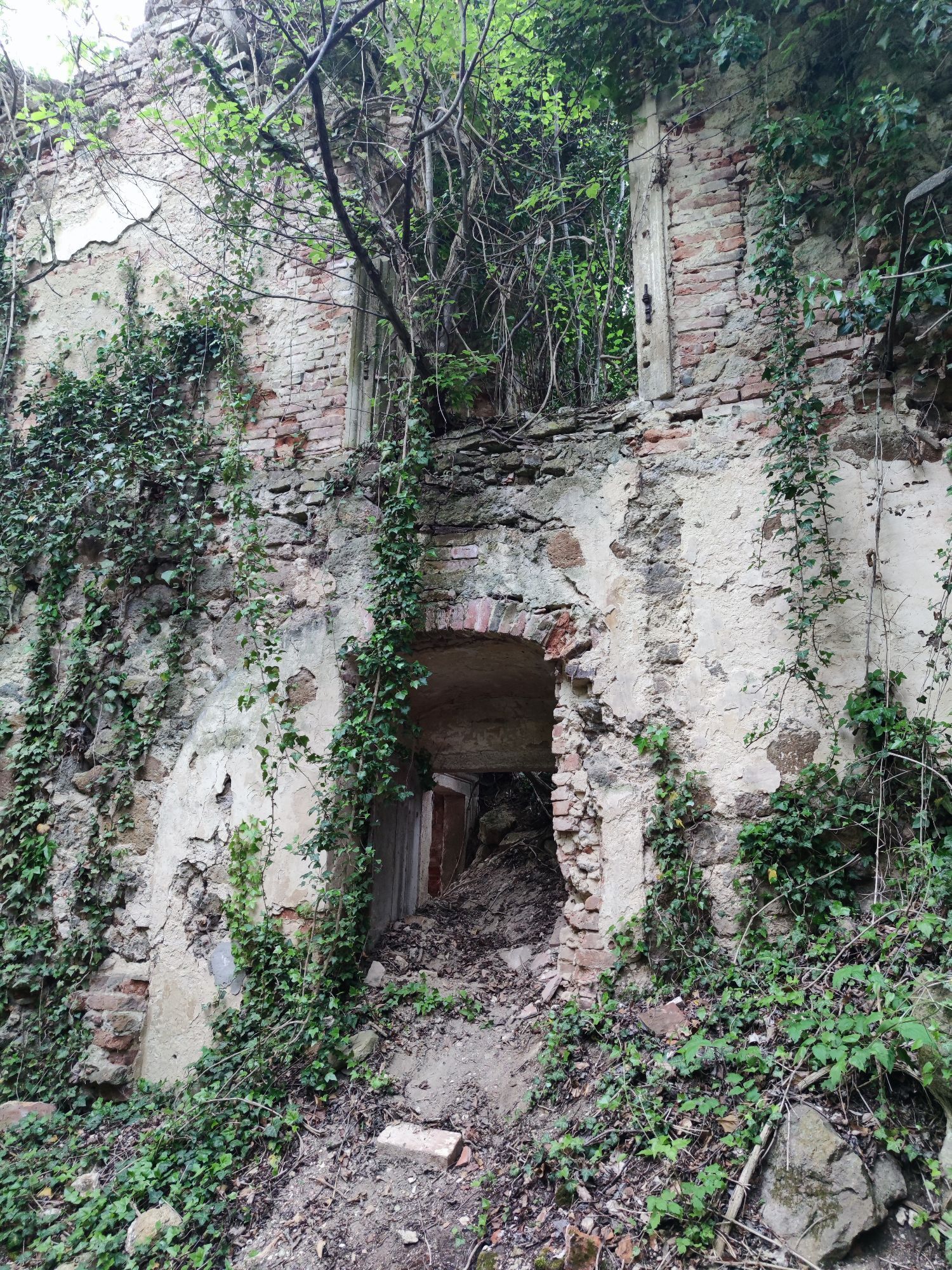
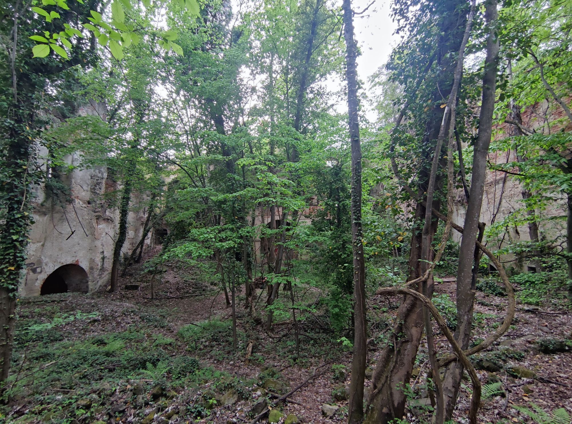
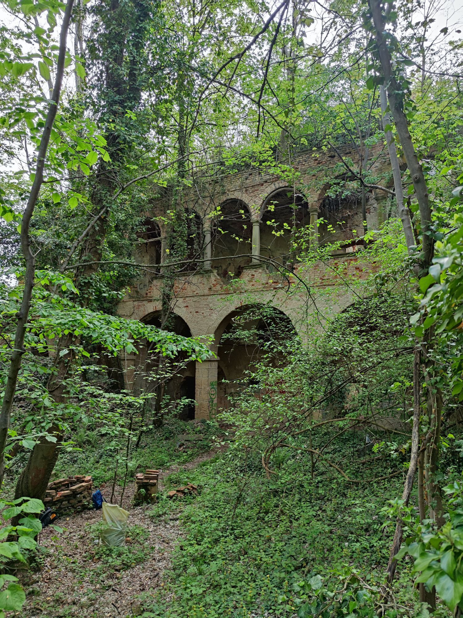
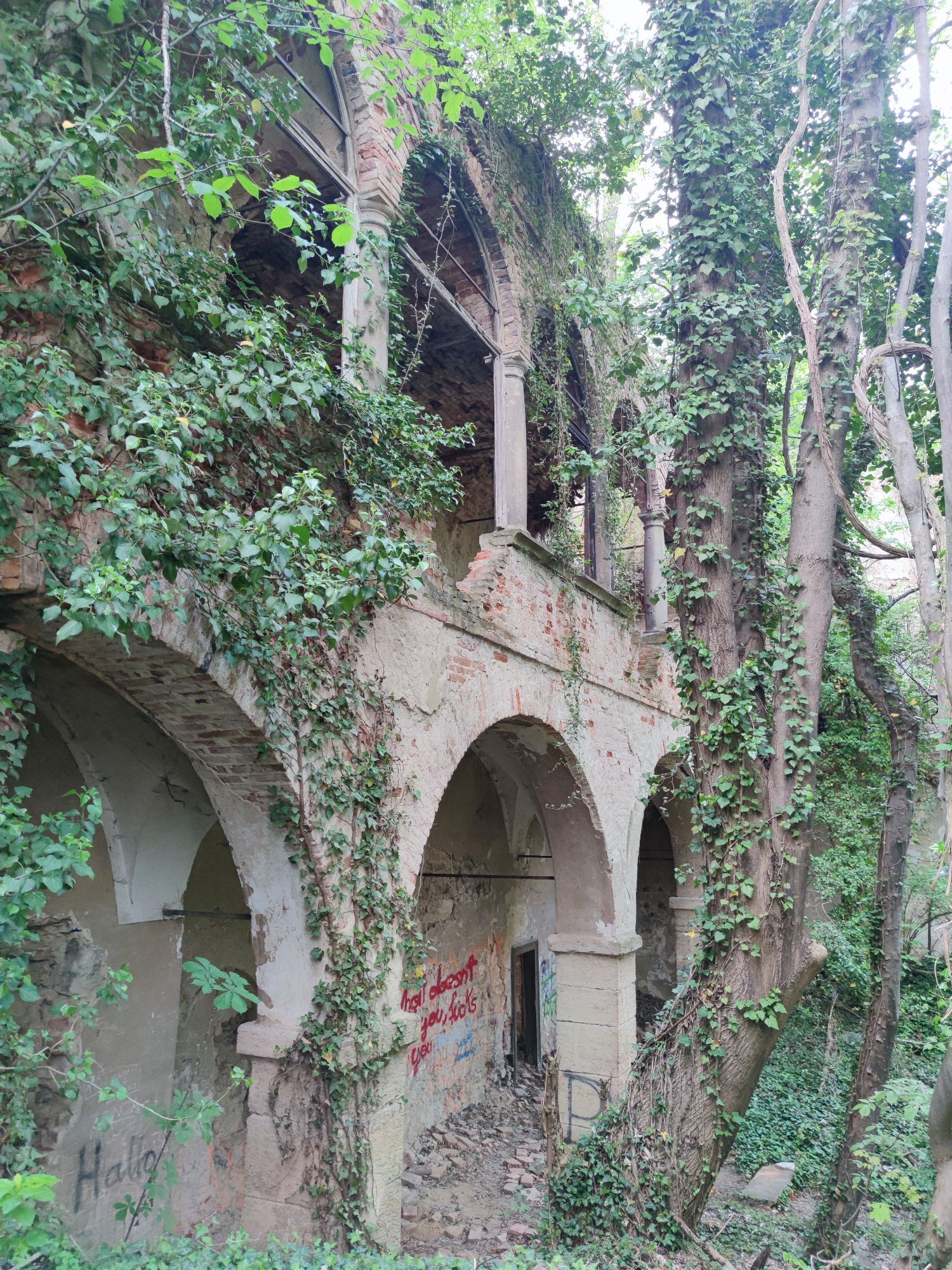
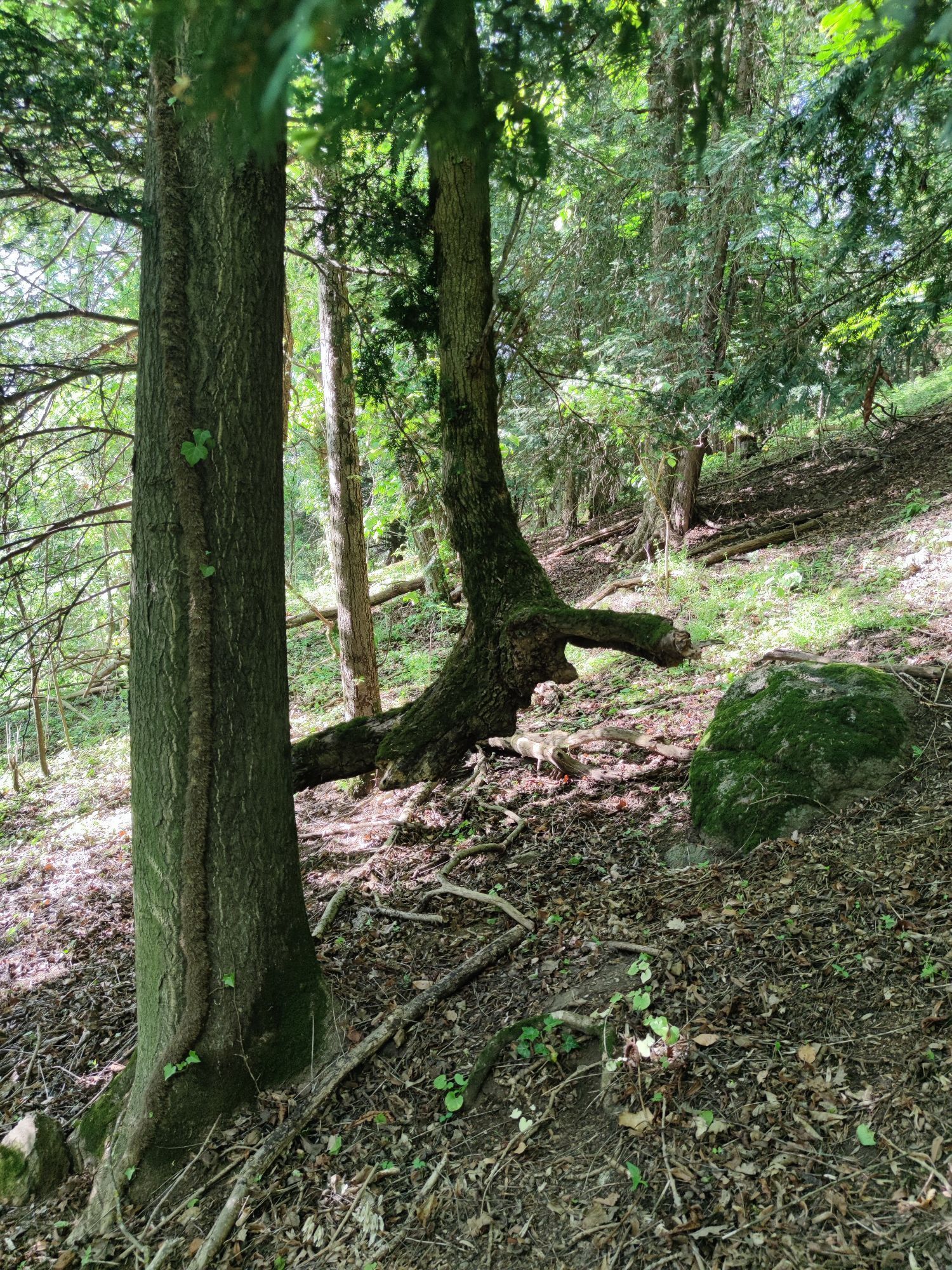
Photos from our users
 © zettlerCreated on 03.03.2024
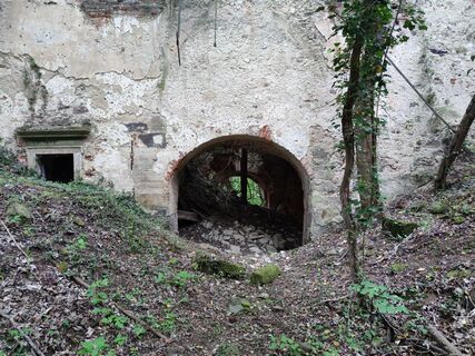
 © Mia76Created on 06.05.2023
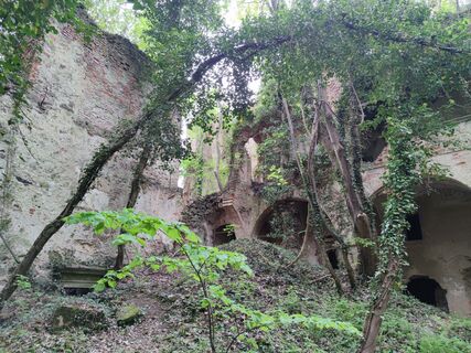 © Mia76Created on 06.05.2023
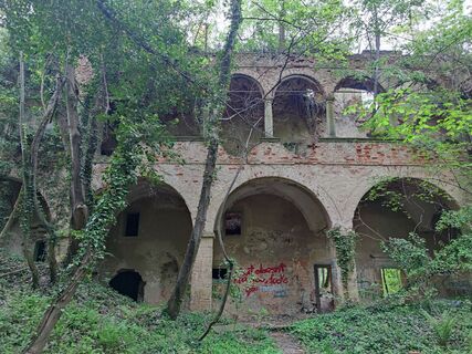 © Mia76Created on 06.05.2023
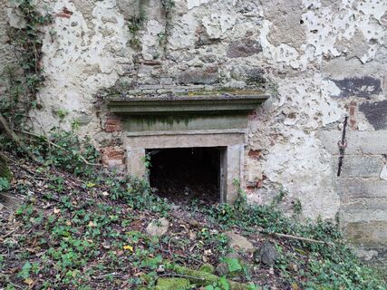 © Mia76Created on 06.05.2023
 © Mia76Created on 06.05.2023
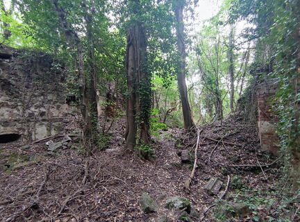 © Mia76Created on 06.05.2023
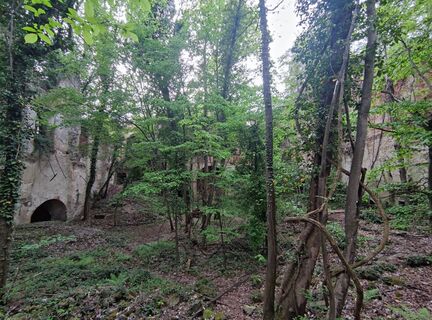 © Mia76Created on 06.05.2023
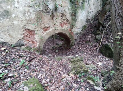 © Mia76Created on 06.05.2023
 © Mia76Created on 06.05.2023
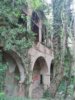 © Mia76Created on 06.05.2023
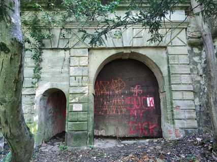 © Mia76Created on 06.05.2023
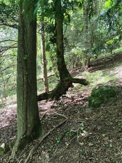 © Mia76Created on 06.05.2023


Route
Bad Gleichenberg
(290 m)
Village
2.2 km
Karlhöhe
(402 m)
Summit
7.7 km
Hutbichl
(379 m)
Settlement
10.0 km
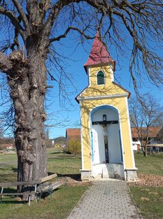
Pfarrkirche hl. Joseph
(271 m)
Place of worship
14.4 km
Lödersdorf
(272 m)
Village
22.6 km
Feldbach
(283 m)
City
28.5 km
Gleichenberg Dorf
(287 m)
Village
38.4 km
Route
Bad Gleichenberg - Heuriger Dreiländerblick - Karlhöhe - Pfarrkirche hl. Joseph
heavy
Cycling
40.60
km
Bad Gleichenberg
(269 m)
Railway station
0.0 km
Bad Gleichenberg
(290 m)
Village
2.2 km
Stein
(337 m)
Corridor/terrain
3.7 km
Steinriegl-Absetz
(428 m)
Corridor/terrain
5.0 km
Heuriger Dreiländerblick
(434 m)
Restaurant
5.2 km
Pichla
(321 m)
Village
6.9 km
Karlhöhe
(402 m)
Summit
7.7 km
Schirgen
(382 m)
Settlement
9.0 km
Rohrberg
(384 m)
Corridor/terrain
9.5 km
Hutbichl
(379 m)
Settlement
10.0 km
Höflach
(277 m)
Village
13.4 km
Fehring
(270 m)
City
14.3 km
Pfarrkirche hl. Joseph
(271 m)
Place of worship
14.4 km
Johnsdorf
(269 m)
Village
18.1 km
Lödersdorf
(273 m)
Railway station
22.3 km
Gasthaus Fuchs
(273 m)
Restaurant
22.3 km
Lödersdorf
(272 m)
Village
22.6 km
Feldbach
(283 m)
City
28.5 km
Gasthaus Weidinger
(299 m)
Restaurant
32.8 km
Klausen
(343 m)
Village
36.4 km
Gleichenberg Dorf
(287 m)
Village
38.4 km
Bad Gleichenberg
(290 m)
Village
40.2 km
Bad Gleichenberg
(269 m)
Railway station
40.5 km
No reviews yet
Popular tours in the neighbourhood
- 4.6
Weinweg der Sinne in St. Anna am Aigen
mediumThematic route13.7 km - 4.4
Gölles-Schleife – Genusswanderweg rund um Riegersburg
lightHiking9.89 km - 4.3
Kaskögerlweg - Poppendorf bei Gnas
lightThematic route9.73 km - 4.8
Herzspur Bad Gleichenberg - Der Liebe auf der Spur
lightHiking8.45 km - 4.4
Stock & Stein (kurze Variante "Wein-Erlebnis-Weg Bad Loipersdorf")
lightHiking10.7 km - 4.8
Weinweg der Sinne
mediumHiking13 km - 3.9
Genusswanderweg Riegersburg (Historischer Rundweg)
lightHiking3.59 km - 4.2
Kaskögerlweg Poppendorf, Österreich
lightThematic route11.3 km - 4.0
Zotter-Schleife Genusswanderweg Riegersburg
lightHiking14.6 km - 4.6
Kogelrundweg
mediumThematic route6.80 km
Hiking & Tracking

Over 550.000 tour suggestions, detailed maps and an intuitive route planner make the app a must-have for all nature enthusiasts.

Don't miss out on offers and inspiration for your next holiday
Subscribe to the newsletter
Error
An error has occurred. Please try again.Thank you for your registration
Your e-mail address has been added to the mailing list.
Tours throughout Europe
Austria Switzerland Germany Italy Slovenia France Netherlands Belgium Poland Liechtenstein Czechia Slovakia Spain Croatia Bosnia and Herzegovina Luxembourg Andorra Portugal Iceland United Kingdom Ireland Greece Albania North Macedonia Malta Norway Montenegro Moldova Kosovo Hungary San Marino Romania Estonia Latvia Belarus Cyprus Lithuania Serbia Bulgaria Monaco Denmark Sweden Finland