Murtaler Schlösserrunde
medium
Navigate
Navigate
Get this tour on your mobile
Murtaler Schlösserrunde
medium
Cycling
55,00
km
Scan the QR code and start navigation in the bergfex app

Hiking & Tracking


Distance
55,00
km
Duration
02:19
h
Ascent
313
m
Sea level
632 -
805
m
Track download
Murtaler Schlösserrunde
medium
Cycling
55,00
km


Route
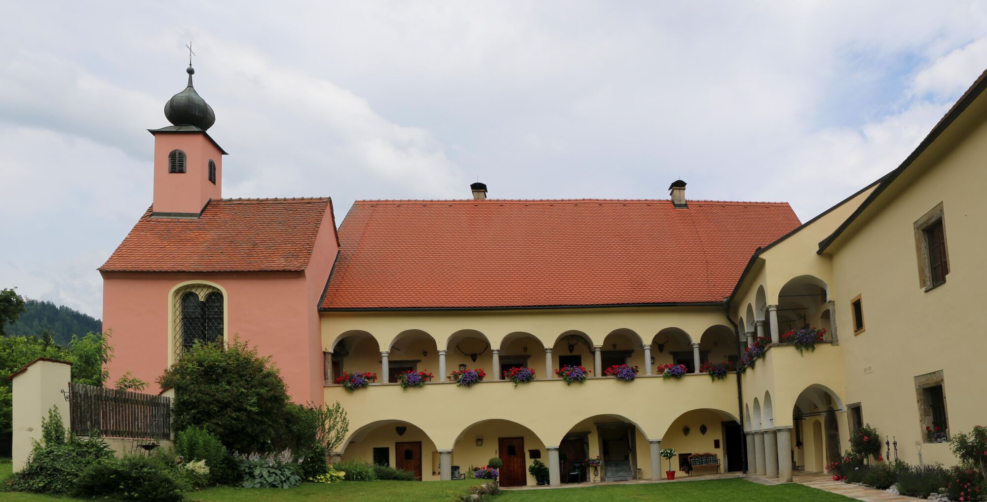
Pfarrkirche Mariä Himmelfahrt
(789 m)
Place of worship
1,0 km
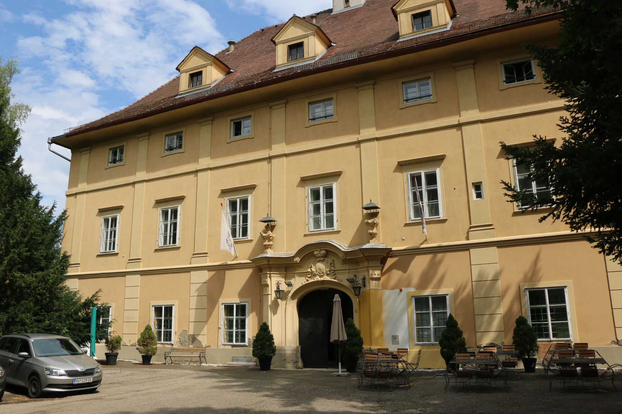
Judenburg
(738 m)
City
13,1 km
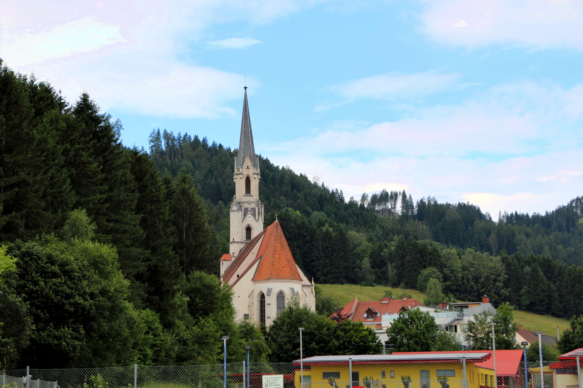
Pfarrkirche hl. Veit
(687 m)
Place of worship
23,0 km
Kath. Pfarrkirche hl. Lambert
(641 m)
Place of worship
31,3 km
Evangelische Johanneskirche
(667 m)
Place of worship
37,6 km
Neuzeltweg
(676 m)
Village
38,6 km
Paßhammer
(742 m)
Settlement
49,8 km
Route
Murtaler Schlösserrunde
medium
Cycling
55,00
km
Pöls
(786 m)
Village
0,1 km
Pfarrkirche Mariä Himmelfahrt
(789 m)
Place of worship
1,0 km
Sauerbrunn
(748 m)
Settlement
2,6 km
Thalheim-Pöls
(700 m)
Railway station
4,3 km
Furth
(721 m)
Settlement
6,6 km
Gasthaus Stocker
(721 m)
Restaurant
6,6 km
Sankt Peter ob Judenburg
(748 m)
Village
7,0 km
Mitterdorf
(738 m)
Village
7,9 km
Rothenthurm
(755 m)
Village
9,3 km
Grillstüberl
(763 m)
Restaurant
11,5 km
Judenburg
(738 m)
City
13,1 km
Wöllmerdorf
(709 m)
Village
18,8 km
Gh.Zechner
(713 m)
Restaurant
19,9 km
Maria Buch
(713 m)
Village
19,9 km
Wallfahrtskirche Maria Buch
(718 m)
Place of worship
19,9 km
Gh.Götschl
(710 m)
Restaurant
20,0 km
Hauserbauerkapelle
(697 m)
Place of worship
20,5 km
Baierdorf
(696 m)
Settlement
20,6 km
Weißkirchen in Steiermark
(687 m)
Village
22,9 km
Pfarrkirche hl. Veit
(687 m)
Place of worship
23,0 km
Gh. Pollhammer
(700 m)
Restaurant
25,0 km
Allersdorf
(695 m)
Settlement
25,2 km
Großfeistritz
(693 m)
Village
25,5 km
Pichling
(694 m)
Village
26,5 km
Oberthann
(678 m)
Settlement
27,7 km
Feldkreuz
(653 m)
Place of worship
29,9 km
Großlobming
(642 m)
Village
30,6 km
Kath. Pfarrkirche hl. Lambert
(641 m)
Place of worship
31,3 km
Weyern
(636 m)
Village
33,3 km
Lind
(657 m)
Village
35,1 km
St. Michaelskapelle
(660 m)
Place of worship
35,5 km
Kath. Pfarrkirche hl. Martin
(660 m)
Place of worship
35,6 km
Evangelische Johanneskirche
(667 m)
Place of worship
37,6 km
Zeltweg
(659 m)
City
37,6 km
Zeltweg
(670 m)
Railway station
38,0 km
Neuzeltweg
(676 m)
Village
38,6 km
Farrach
(675 m)
Village
39,5 km
S'Wirtshaus
(678 m)
Restaurant
39,6 km
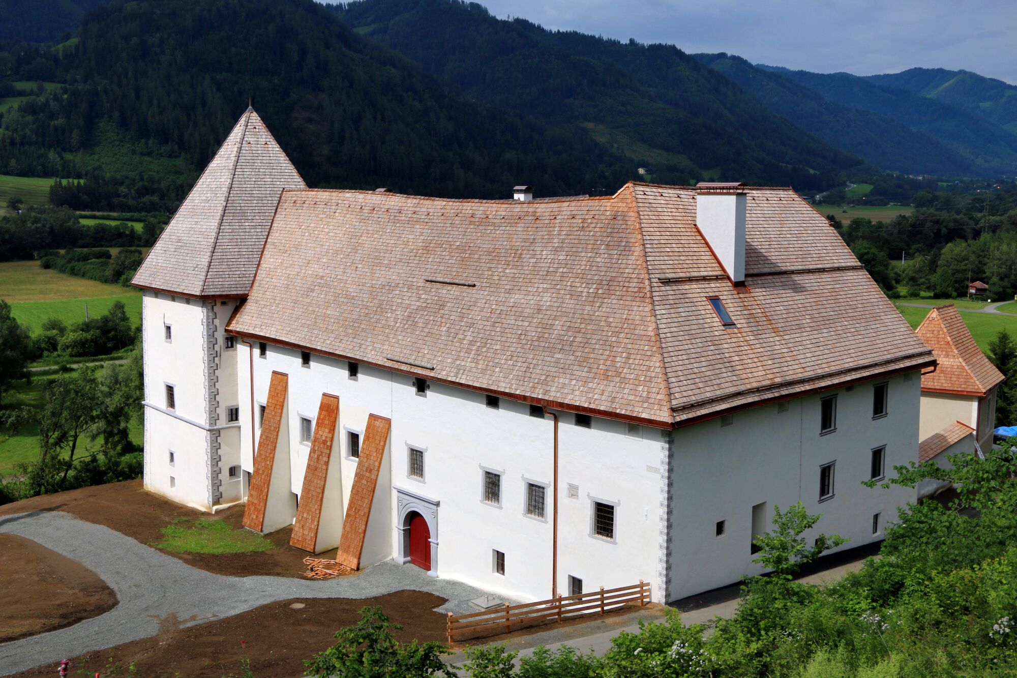
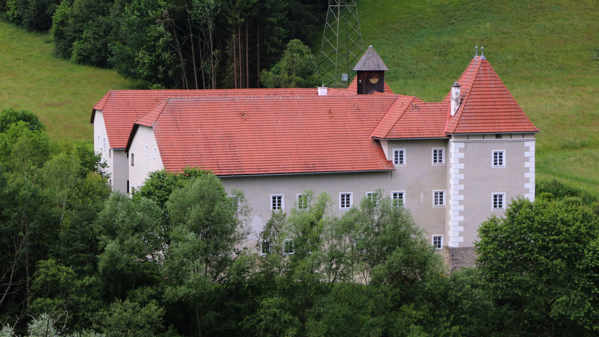
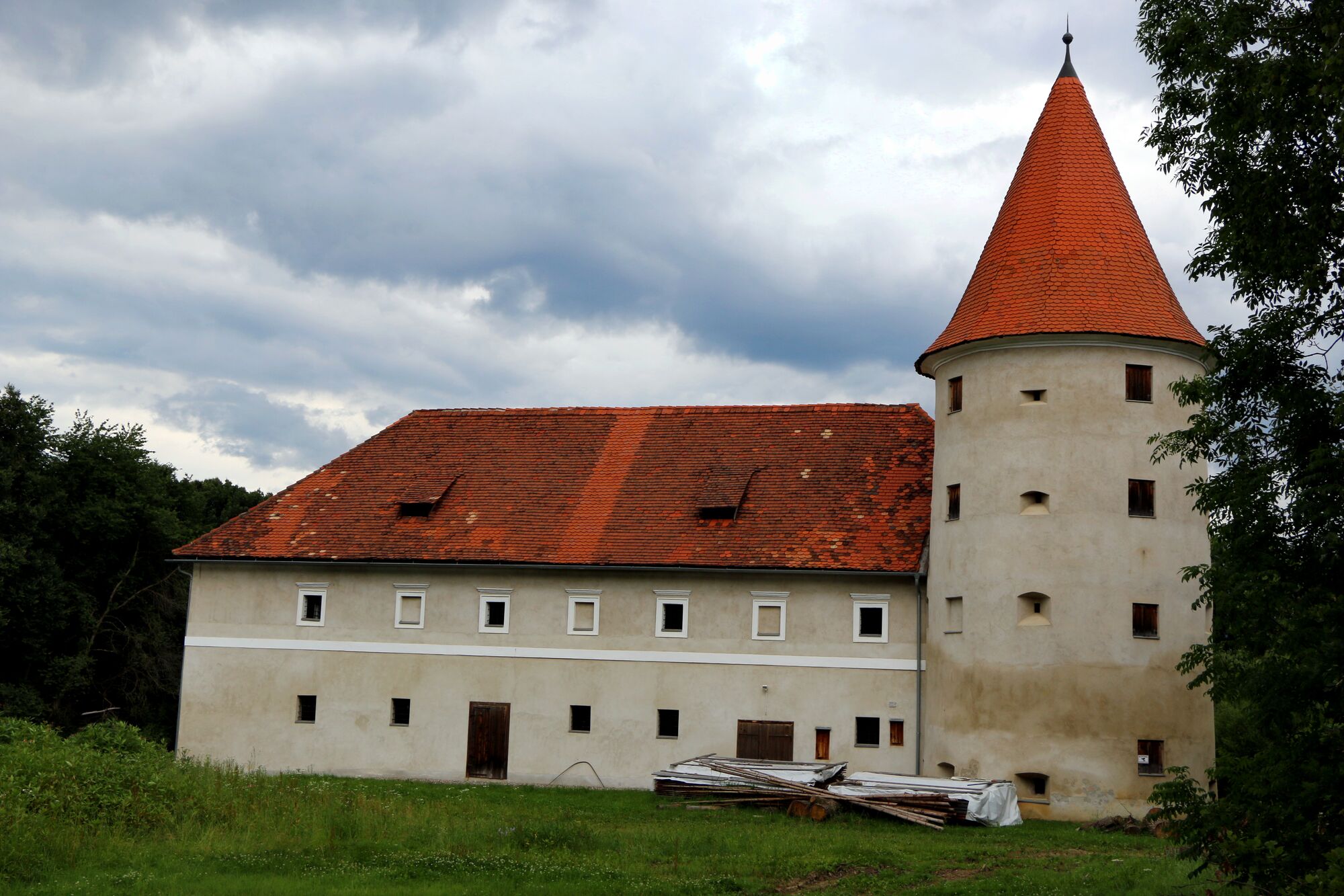
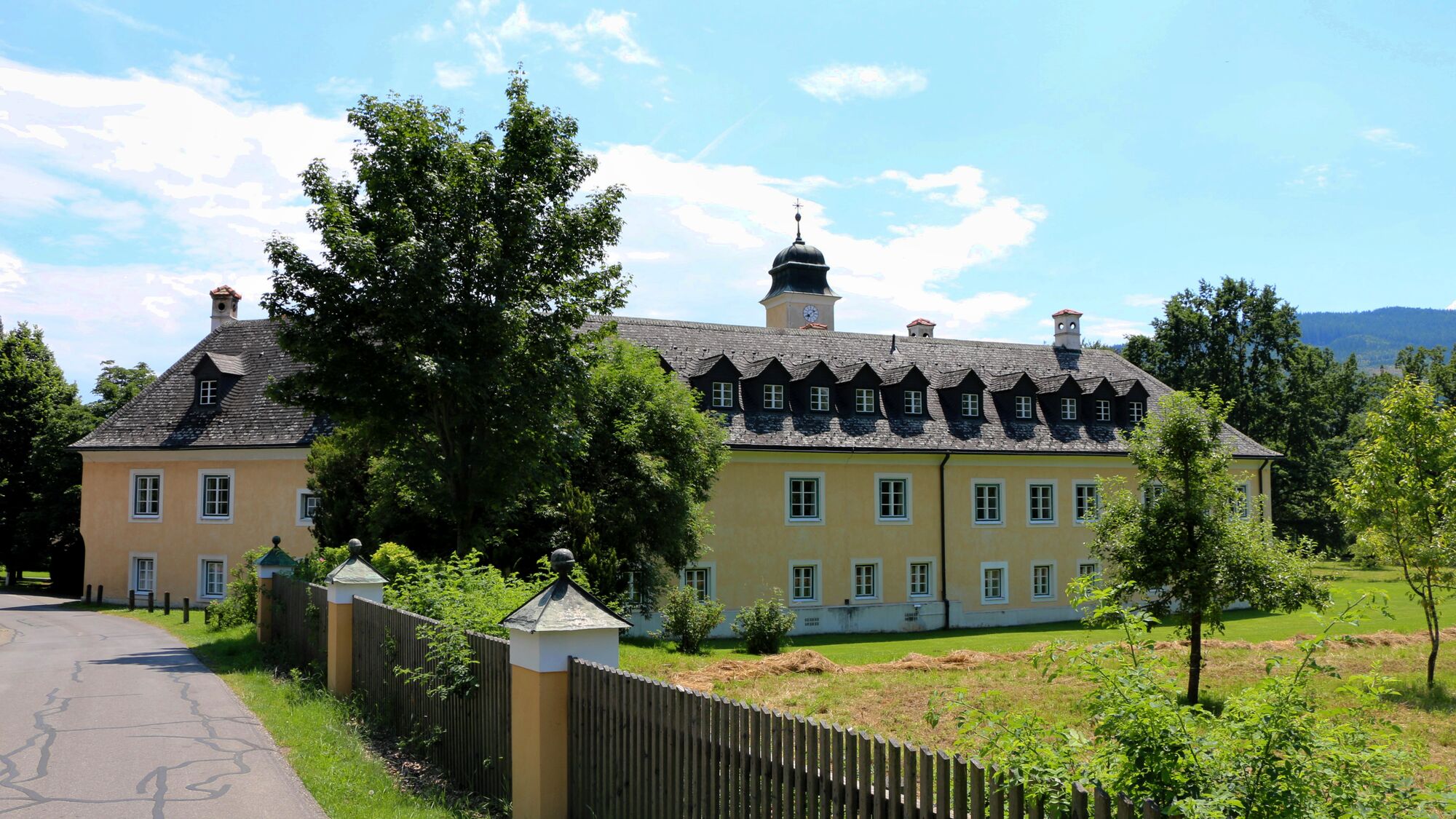
Schloss Farrach
(686 m)
Restaurant
40,2 km
Wasendorf
(727 m)
Village
46,6 km
Paßhammer
(742 m)
Settlement
49,8 km
Allerheiligen
(771 m)
Settlement
50,2 km
Pölshof
(804 m)
Settlement
52,9 km
Gusterheim
(791 m)
Village
53,8 km
Hohenbichlsiedlung
(811 m)
Neighbourhood
54,6 km
Pöls
(786 m)
Village
54,9 km

No reviews yet
Popular tours in the neighbourhood
- 4,6
Zirbitzkogel-Runde über Lindersee
mediumHiking10,5 km - 3,8
Tremmelberg "Turm im Gebirge" über Vorder-Tremmel
lightHiking9,37 km - 4,7
"Pletzen 2345m" Der eindrucksvolle Aussichtsgipfel in den Seckauer Tauern
lightSnowshoe15,8 km - 4,7
Vonm Almidyll Sabathy (Sabathyhütte) zur Rothaidehütte
lightHiking7,31 km - 4,8
Zirbitzkogelrunde vom Almidyll Sabathy (Sabathyhütte) über Schlaferkogel und Rothaidehütte
mediumHiking12,4 km - 5,0
Rothaidehütte Runde Zirbitzkogel
mediumHiking6,17 km - 4,7
Sabathy Hütte auf Zirbitskogel über Lindersee
lightHiking4,76 km - 4,0
Winterleitenhütte- Scharfes Eck- Kreiskogel
Hiking8,40 km - 4,7
Von der Sabathy über die Winterleiten auf den Zirbitzkogel
mediumHiking14,8 km - 4,5
Kreiskogel und Zirbitzkogel-Runde über die Winterleitenseen
heavyHiking14,7 km
Hiking & Tracking

Over 550.000 tour suggestions, detailed maps and an intuitive route planner make the app a must-have for all nature enthusiasts.

Don't miss out on offers and inspiration for your next holiday
Subscribe to the newsletter
Error
An error has occurred. Please try again.Thank you for your registration
Your e-mail address has been added to the mailing list.
Tours throughout Europe
Austria Switzerland Germany Italy Slovenia France Netherlands Belgium Poland Liechtenstein Czechia Slovakia Spain Croatia Bosnia and Herzegovina Luxembourg Andorra Portugal Iceland United Kingdom Ireland Greece Albania North Macedonia Malta Norway Montenegro Moldova Kosovo Hungary San Marino Romania Estonia Latvia Belarus Cyprus Lithuania Serbia Bulgaria Monaco Denmark Sweden Finland