Bad Waltersdorf rundherum und auf- und ab
medium
Navigate
Navigate
Get this tour on your mobile
Bad Waltersdorf rundherum und auf- und ab
medium
Mountainbike
55,70
km
Scan the QR code and start navigation in the bergfex app

Hiking & Tracking


Distance
55,70
km
Duration
03:47
h
Ascent
656
m
Sea level
270 -
447
m
Track download
Bad Waltersdorf rundherum und auf- und ab
medium
Mountainbike
55,70
km


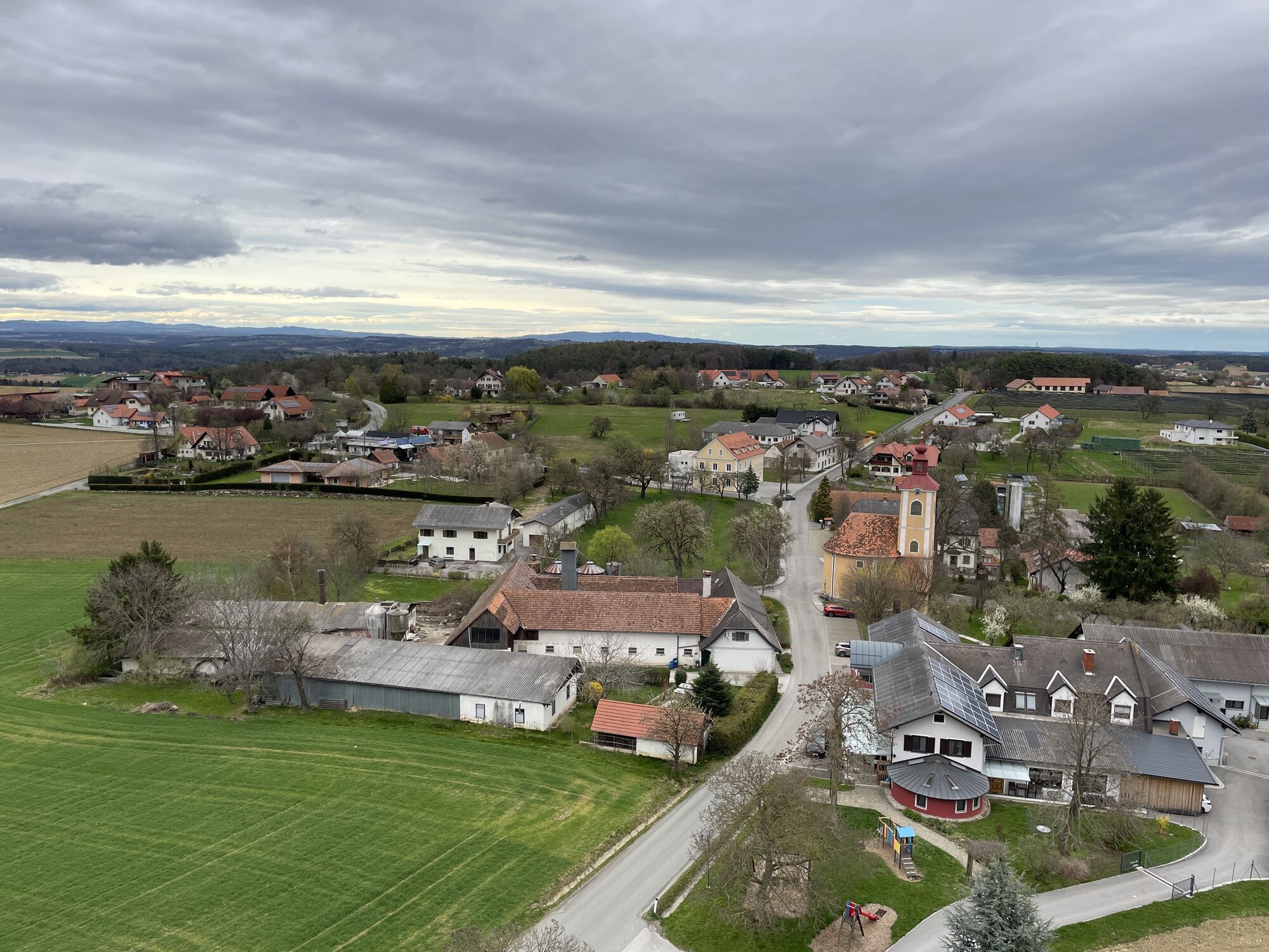
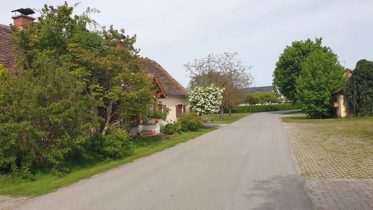
Start / Ziel ist Parkplatz bzw. Nähe Parkplatz Therme. Abwechslungsreiche Tour mit "viel Gegend" (Fischteiche, Badesee, Flüsse und Bäche, Schloss Burgau, Bad Blumau). Nur kurz mal neben der Autobahn, sonst...
Description of the
Start / Ziel ist Parkplatz bzw. Nähe Parkplatz Therme. Abwechslungsreiche Tour mit "viel Gegend" (Fischteiche, Badesee, Flüsse und Bäche, Schloss Burgau, Bad Blumau). Nur kurz mal neben der Autobahn, sonst auf äußerst wenig befahrenen Nebenstraßen, Forst- und Radwegen. Auf der Strecke selbst wenig Einkehrmöglichkeiten, zur Belohnung gibt es aber in Bad Waltersdorf schöne Buschenschenken.
Route
Ortskapelle
(373 m)
Place of worship
7,4 km
Großhart
(427 m)
Village
10,8 km
Kapelle Auffen
(437 m)
Place of worship
13,6 km
Edelsberg
(348 m)
Settlement
24,3 km
Röm.-Kath. Pfarramt Burgau
(279 m)
Place of worship
39,5 km
Mühlhauser-Kapelle
(278 m)
Place of worship
43,7 km
Leitersdorf bei Hartberg
(281 m)
Village
53,4 km
Route
Bad Waltersdorf rundherum und auf- und ab
medium
Mountainbike
55,70
km
Pfarrkirche hl. Margaretha
(291 m)
Place of worship
1,3 km
Bad Waltersdorf
(290 m)
Village
1,4 km
Ortskapelle
(373 m)
Place of worship
7,4 km
Hohenbrugg
(373 m)
Village
7,4 km
Großhart
(427 m)
Village
10,8 km
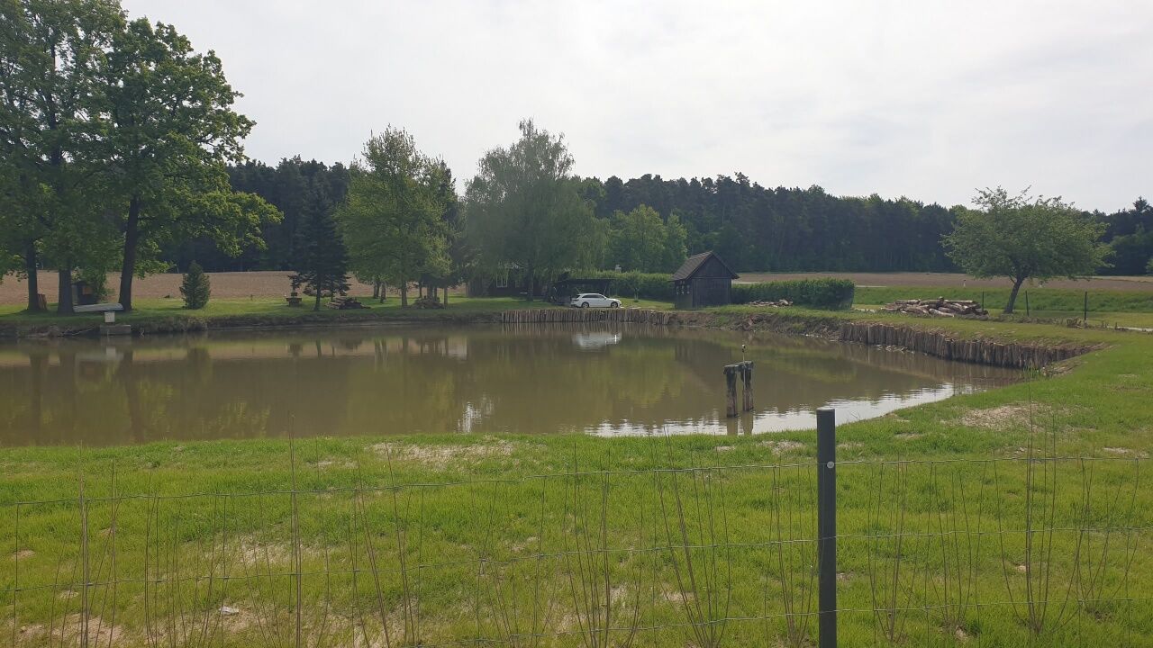
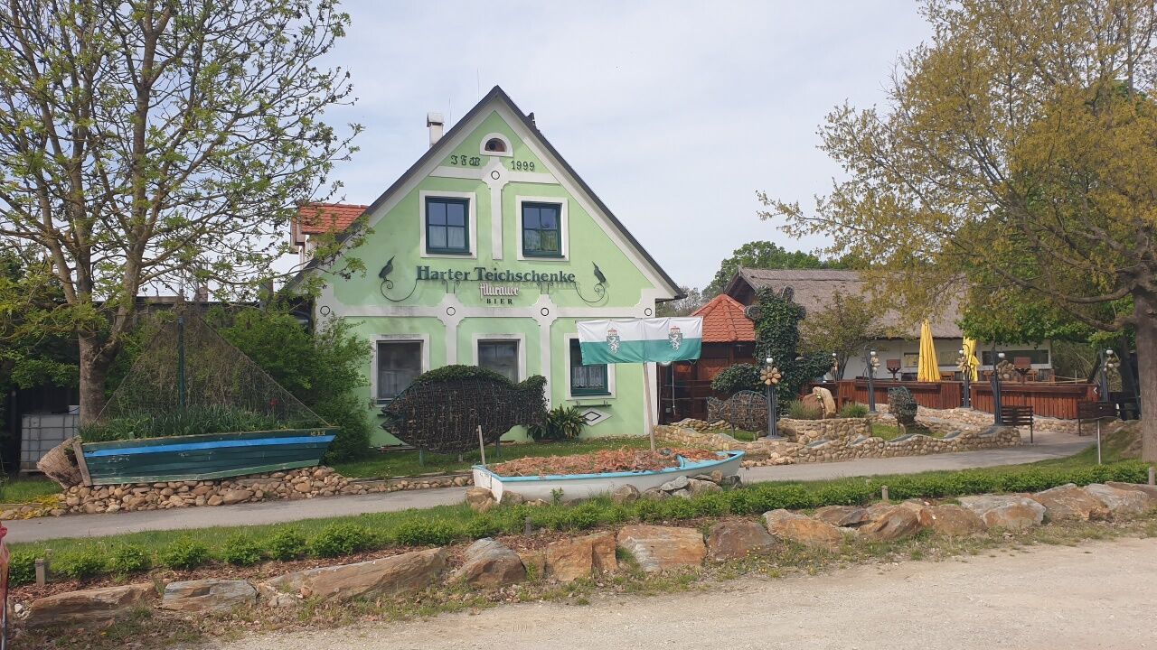
Teichschenke
(407 m)
Restaurant
11,8 km
Kapelle Auffen
(437 m)
Place of worship
13,6 km
Auffen
(436 m)
Settlement
13,7 km
Lindenhof Straußenwirt
(435 m)
Restaurant
13,7 km
Großhart
(427 m)
Village
15,1 km
Harras
(400 m)
Settlement
15,8 km
Neustift bei Sebersdorf
(304 m)
Village
19,9 km
Sebersdorf
(297 m)
Village
21,6 km
Edelsberg
(348 m)
Settlement
24,3 km
Rohrbach bei Waltersdorf
(343 m)
Village
26,5 km
Petra's Heurigen
(374 m)
Restaurant
30,9 km
Oberlimbach
(370 m)
Settlement
31,0 km
Heilige Dreifaltigkeitskapelle
(302 m)
Place of worship
39,1 km
Pfarrkirche Maria Gnadenbrunn zu Burgau
(302 m)
Place of worship
39,2 km
Röm.-Kath. Pfarramt Burgau
(279 m)
Place of worship
39,5 km
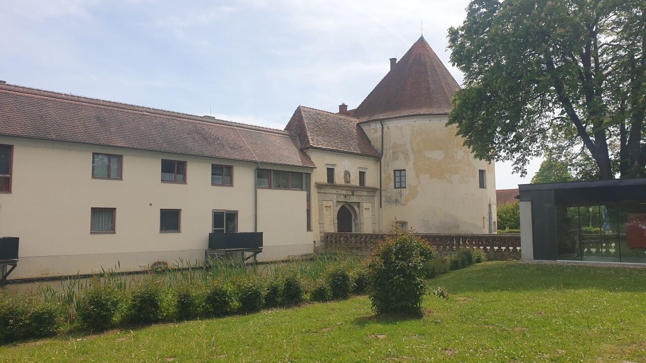
Burgau
(275 m)
Village
40,0 km
Mühlhauser-Kapelle
(278 m)
Place of worship
43,7 km
Kleinsteinbach
(275 m)
Village
47,7 km
Schwarzmannshofen
(275 m)
Village
49,6 km
Speilbrunn
(283 m)
Village
51,5 km
Maria Brunn
(286 m)
Source
51,7 km
Leitersdorf bei Hartberg
(281 m)
Village
53,4 km
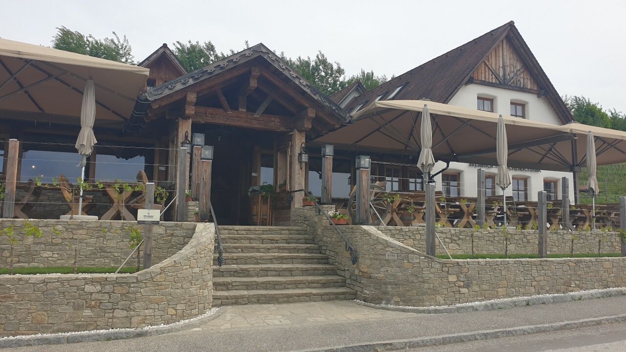
Buschenschank Thaler
(323 m)
Restaurant
55,0 km
Buschenschank der Pieber
(326 m)
Restaurant
55,3 km

Route information
Sandy subsoil
Yes
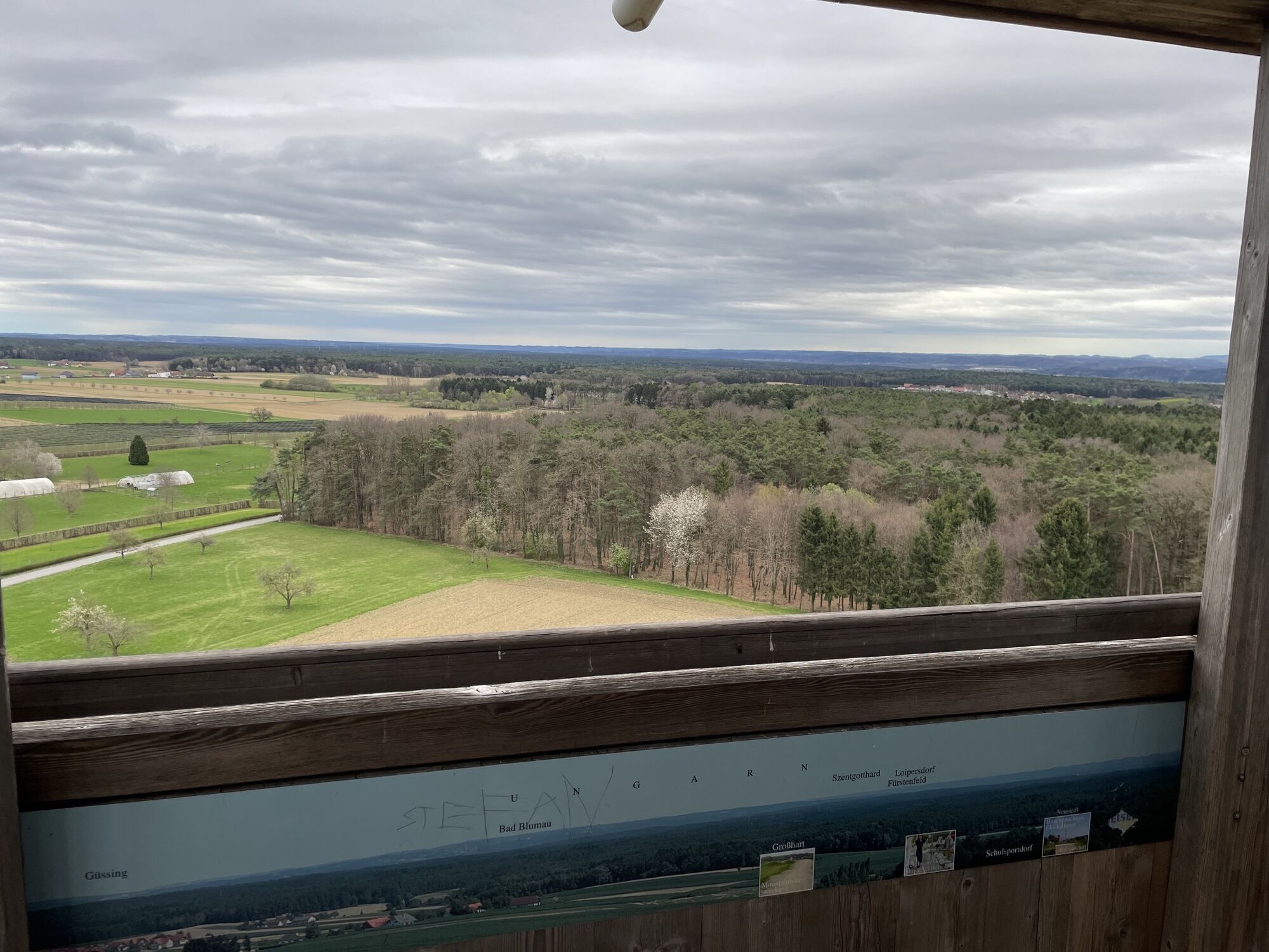
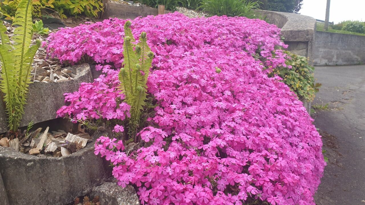
Beautiful view
Yes
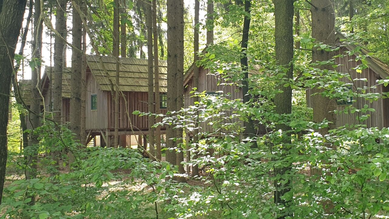
Forest area
Yes
Additional information & tips
Road tyres
Yes
All-round tyres
Yes
Difficulty Uphill
4/6
Downhill difficulty
1/6
No reviews yet
Popular tours in the neighbourhood
- 5,0
Ringwarte-Runde, Hartberg
mediumHiking7,37 km - 3,6
Keltischer Baumkreisweg
mediumHiking12,8 km - 3,7
Fantastische Tour in Bad Blumau
mediumCycling37,7 km - 5,0
Burgau: Waldtour
Cycling25,0 km - 5,0
Auffen: Hofwald-Weg
mediumHiking9,50 km - 4,5
Feistritztalradweg R8, südlicher Abschnitt
mediumCycling62,0 km - 4,2
Tauch ein in die Natur im Hartberger Gmoos, Hartberg
lightThematic route3,65 km - 4,6
R33 Harter Teichradweg
Cycling25,1 km - 5,0
W6 Keltischer-Baumkreis-Weg - Bad Waltersdorf
mediumThematic route12,7 km - 4,5
Streuobstwiesenradweg B63
mediumCycling40,0 km
Hiking & Tracking

Over 550.000 tour suggestions, detailed maps and an intuitive route planner make the app a must-have for all nature enthusiasts.

Don't miss out on offers and inspiration for your next holiday
Subscribe to the newsletter
Error
An error has occurred. Please try again.Thank you for your registration
Your e-mail address has been added to the mailing list.
Tours throughout Europe
Austria Switzerland Germany Italy Slovenia France Netherlands Belgium Poland Liechtenstein Czechia Slovakia Spain Croatia Bosnia and Herzegovina Luxembourg Andorra Portugal Iceland United Kingdom Ireland Greece Albania North Macedonia Malta Norway Montenegro Moldova Kosovo Hungary San Marino Romania Estonia Latvia Belarus Cyprus Lithuania Serbia Bulgaria Monaco Denmark Sweden Finland