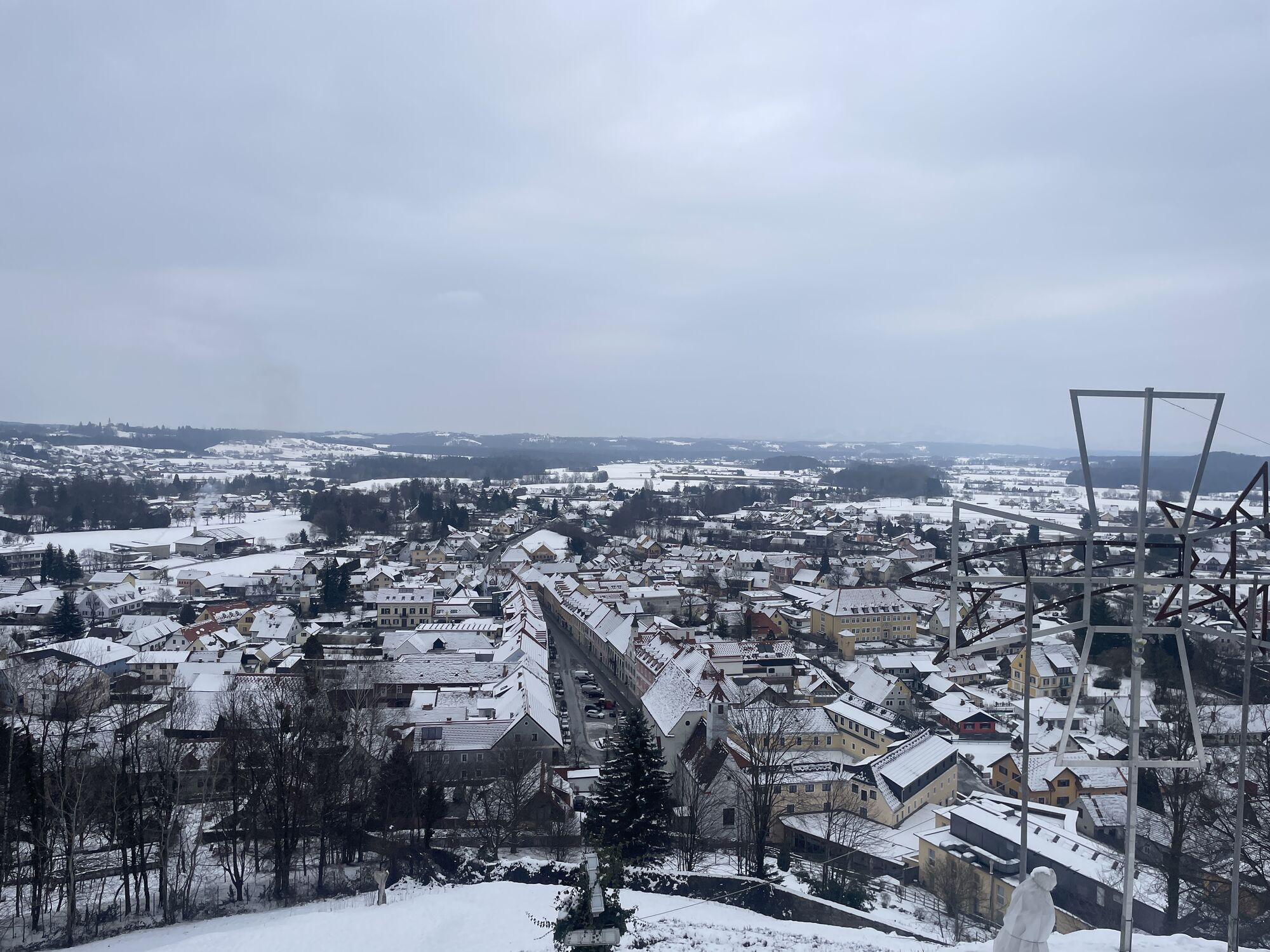
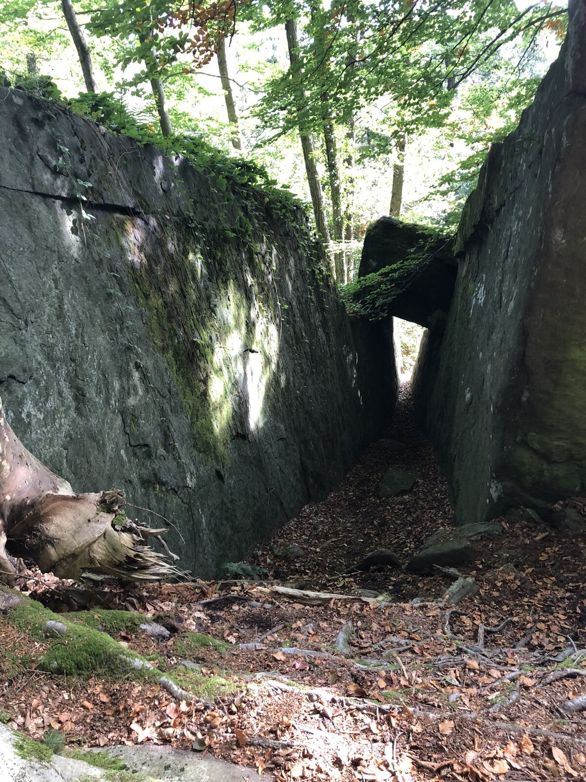
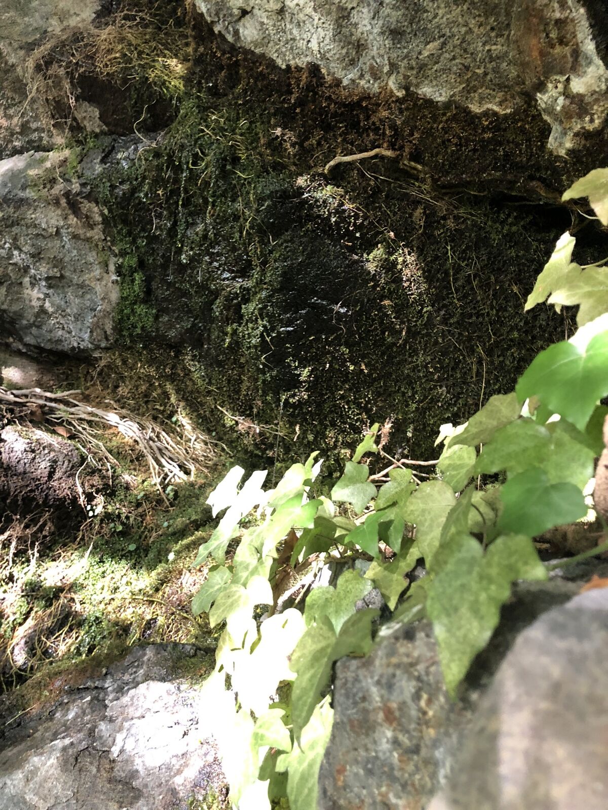
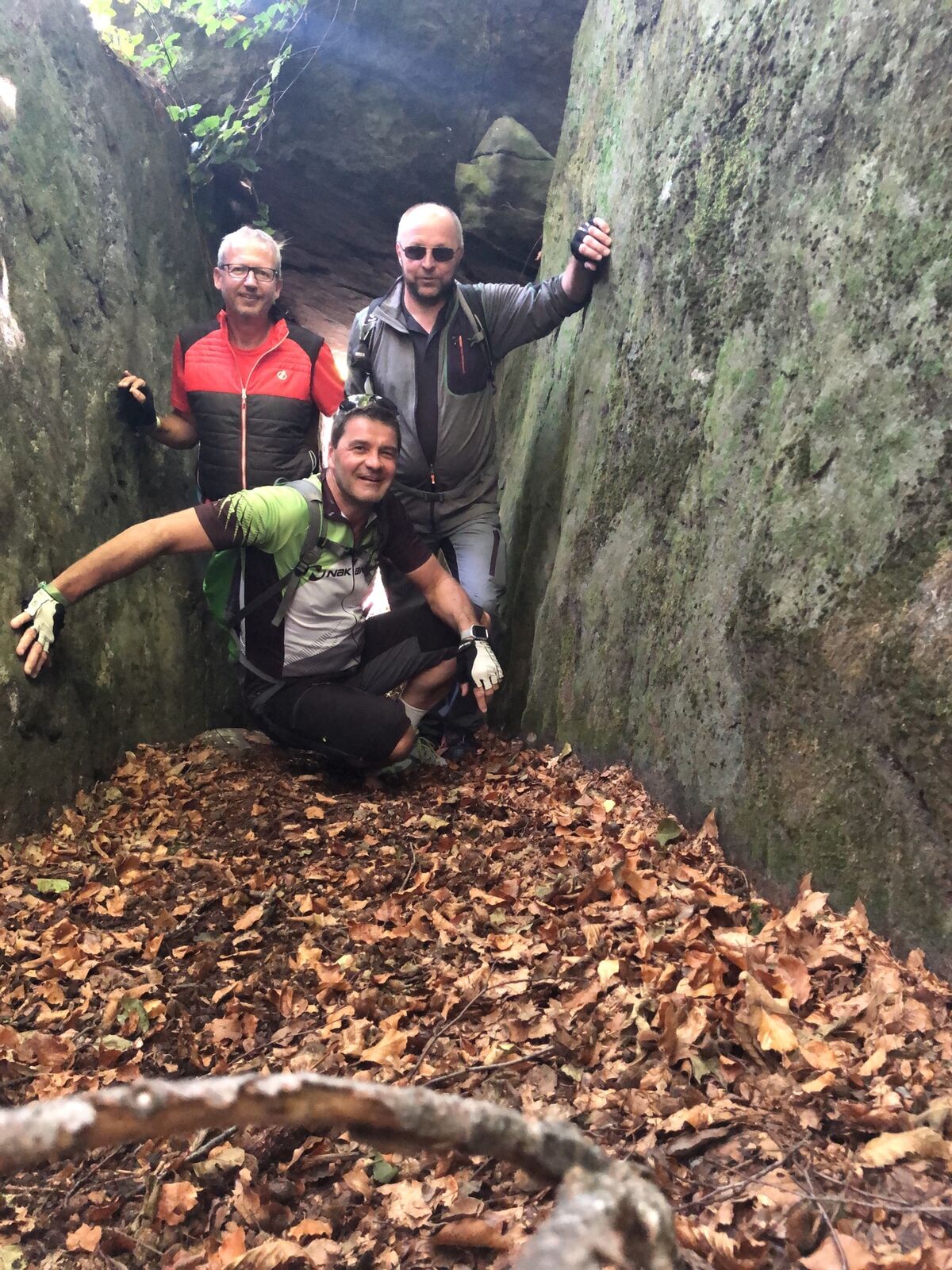
Schwanberg-Hohlfelsen-Sulmwasserfall
light
Navigate
Navigate
Get this tour on your mobile
Schwanberg-Hohlfelsen-Sulmwasserfall
light
E-MTB
30.12
km
Scan the QR code and start navigation in the bergfex app

Hiking & Tracking


Distance
30.12
km
Duration
01:57
h
Ascent
954
m
Sea level
413 -
1,048
m
Track download
Schwanberg-Hohlfelsen-Sulmwasserfall
light
E-MTB
30.12
km


Route
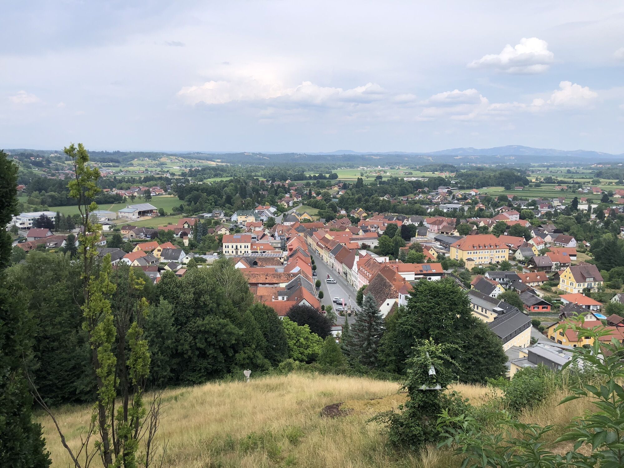
Klosterkirche Schwanberg
(420 m)
Place of worship
0.1 km
Bad Schwanberg
(417 m)
Village
0.1 km
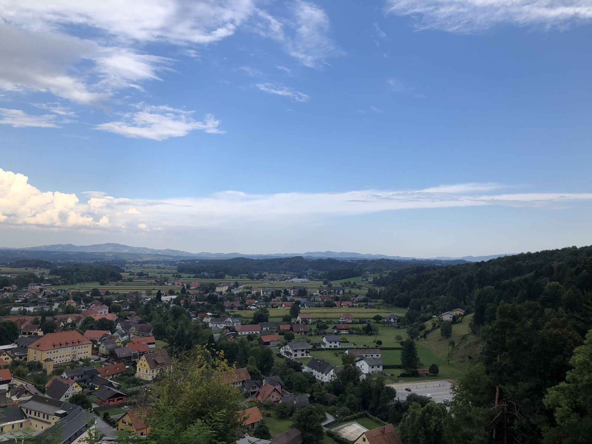
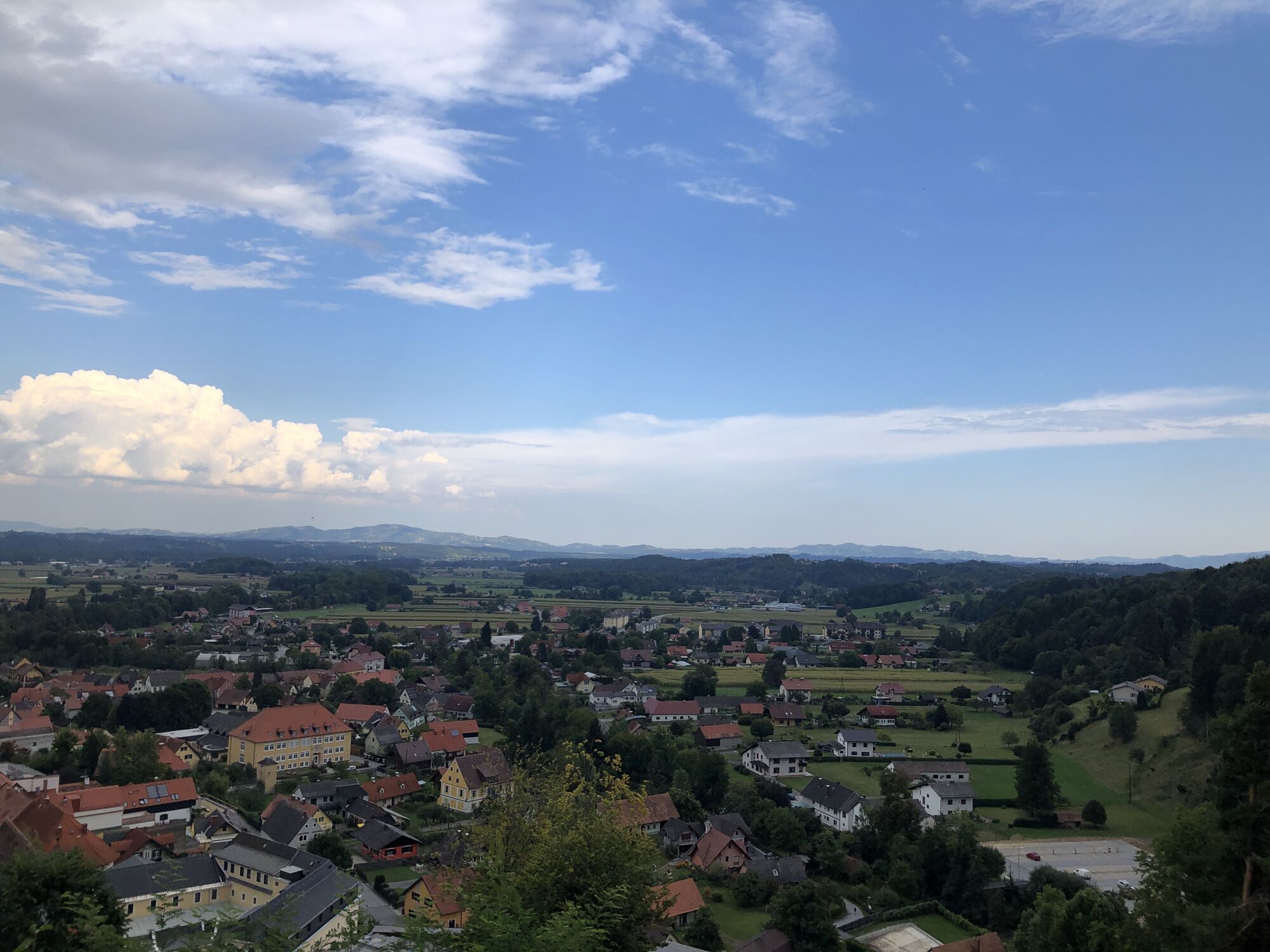
Unterfresen
(701 m)
Settlement
6.9 km
Schmuckbauer
(1,055 m)
Restaurant
19.8 km
Oberfresen
(1,071 m)
Village
19.8 km
Garanas
(871 m)
Village
23.2 km
Klosterkirche Schwanberg
(420 m)
Place of worship
30.0 km
Route
Schwanberg-Hohlfelsen-Sulmwasserfall
light
E-MTB
30.12
km
Klosterkirche Schwanberg
(420 m)
Place of worship
0.1 km
Bad Schwanberg
(417 m)
Village
0.1 km
Unterfresen
(701 m)
Settlement
6.9 km
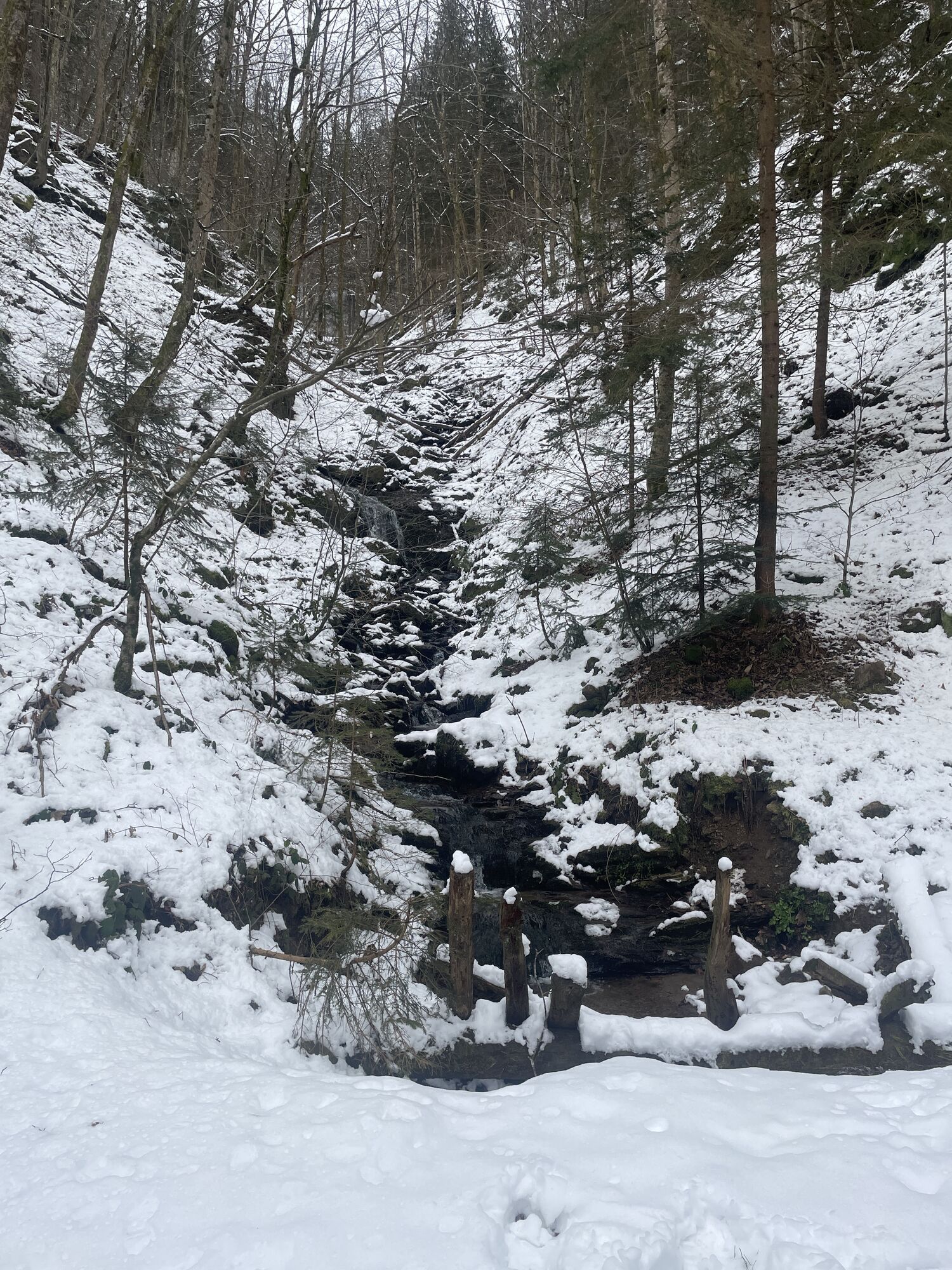
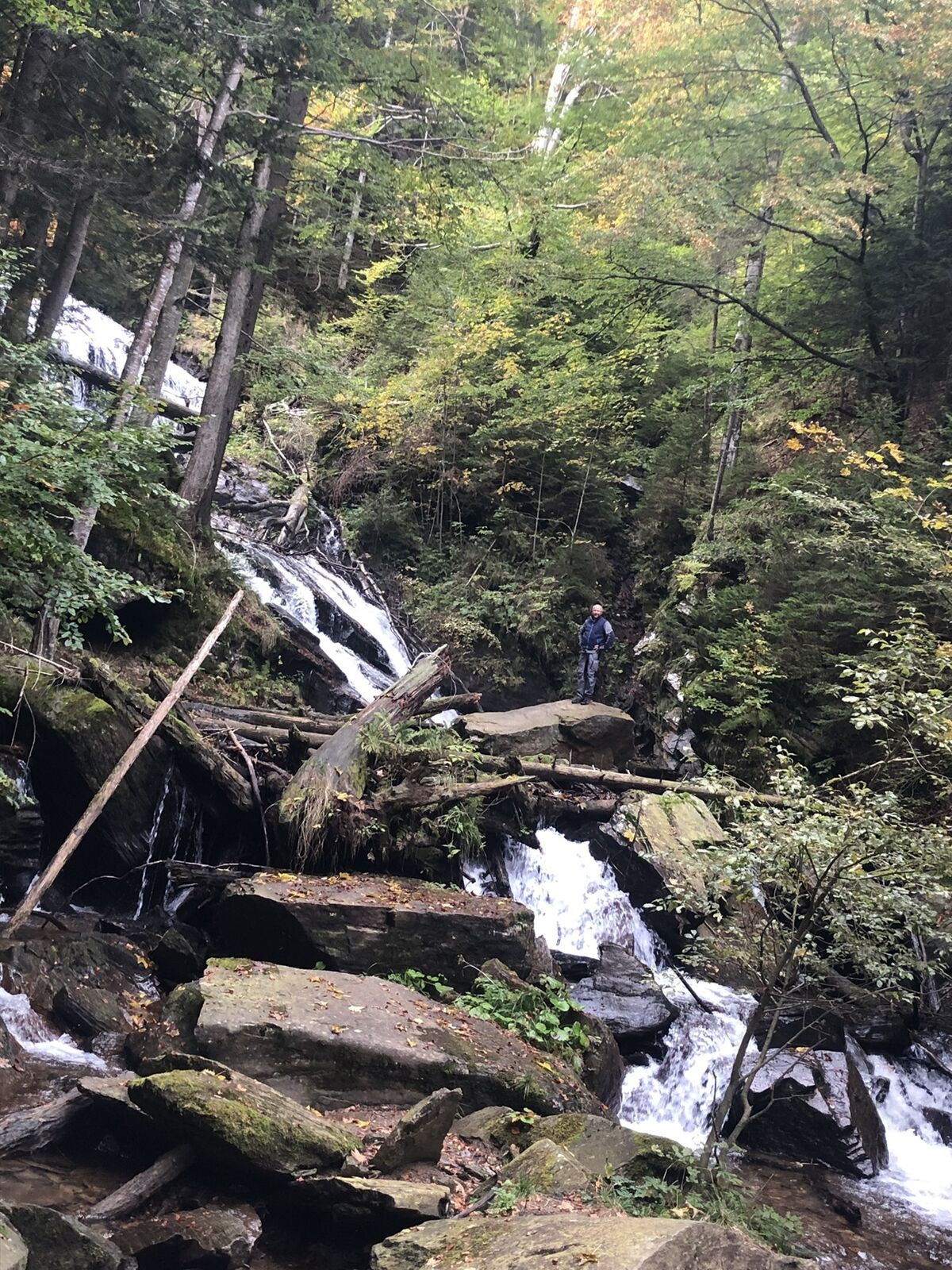
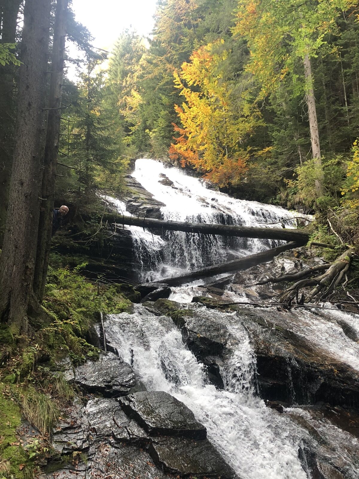
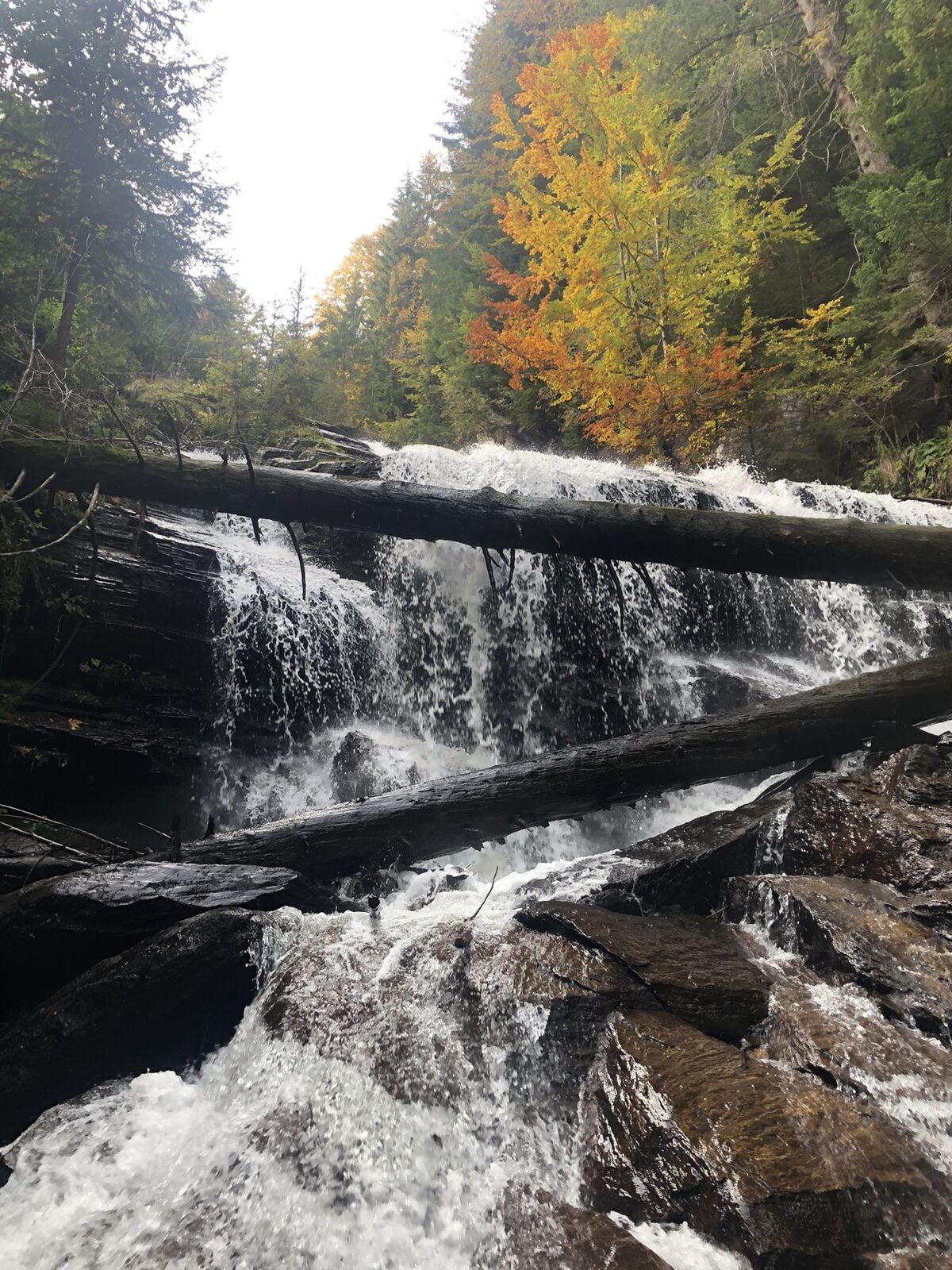
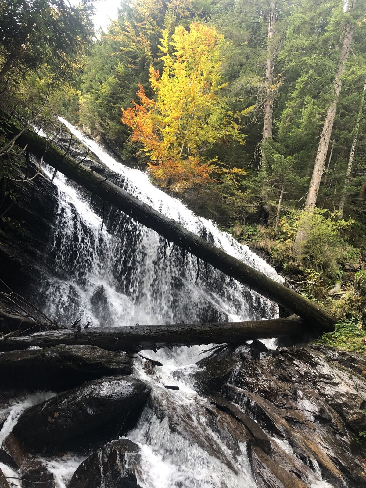
Sulmwasserfall
(951 m)
Waterfall
17.7 km
Schmuckbauer
(1,055 m)
Restaurant
19.8 km
Oberfresen
(1,071 m)
Village
19.8 km
Garanas
(871 m)
Village
23.2 km
Bad Schwanberg
(417 m)
Village
29.9 km
Klosterkirche Schwanberg
(420 m)
Place of worship
30.0 km

Valuations
5
(1)
4
(0)
3
(0)
2
(0)
1
(1)
Popular tours in the neighbourhood
-
4.3
Weinebene - Moschkogel - Rundweg
lightHiking 7.27 km -
4.7
Laßnitztalweg – Wanderung Klause Deutschlandsberg
mediumThematic route 10.2 km -
4.5
Weinebene - Großer Speik
mediumHiking 16.0 km -
3.7
Loskogel - Steinmandl- Großer Speikkogel
mediumHiking 16.1 km -
5.0
Brendlhütte - lange Runde
mediumHiking 11.7 km -
PP Weinebene-Grillitschh.-Gr.Speik-Hühnerstütze-PP Weinebene
mediumHiking 19.6 km -
4.5
Großer Speikkogel/Koralm 08.01.2012
mediumHiking 7.53 km -
3.6
Großer Speikkogel
Hiking 17.6 km -
4.1
Bad Gams: Greimkogel - Rundweg
mediumHiking 9.20 km -
4.2
Schneeschuhwanderung Weinebene
lightSnowshoe 7.40 km
Hiking & Tracking

Over 550.000 tour suggestions, detailed maps and an intuitive route planner make the app a must-have for all nature enthusiasts.

Don't miss out on offers and inspiration for your next holiday
Subscribe to the newsletter
Error
An error has occurred. Please try again.
Thank you for your registration
Your e-mail address has been added to the mailing list.
Tours throughout Europe
Austria
Switzerland
Germany
Italy
Slovenia
France
Netherlands
Belgium
Poland
Liechtenstein
Czechia
Slovakia
Spain
Croatia
Bosnia and Herzegovina
Luxembourg
Andorra
Portugal
Iceland
United Kingdom
Ireland
Greece
Albania
North Macedonia
Malta
Norway
Montenegro
Moldova
Kosovo
Hungary
San Marino
Romania
Estonia
Latvia
Belarus
Cyprus
Lithuania
Serbia
Bulgaria
Monaco
Denmark
Sweden
Finland