


Photos of our users
 © Roland BogenhuberCreated on 16.10.2022
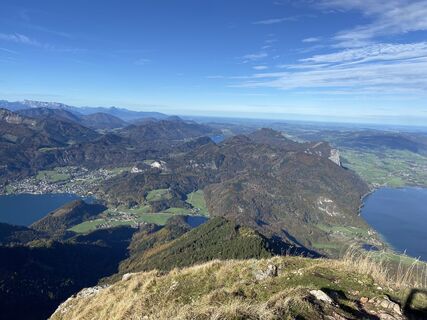 © Roland BogenhuberCreated on 16.10.2022
 © Roland BogenhuberCreated on 16.10.2022
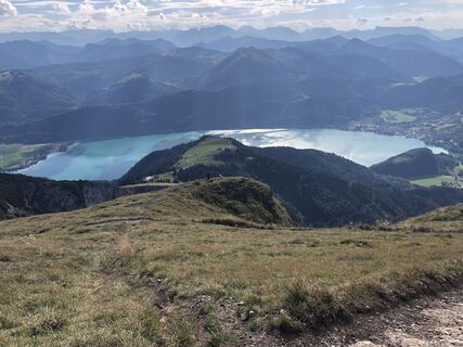
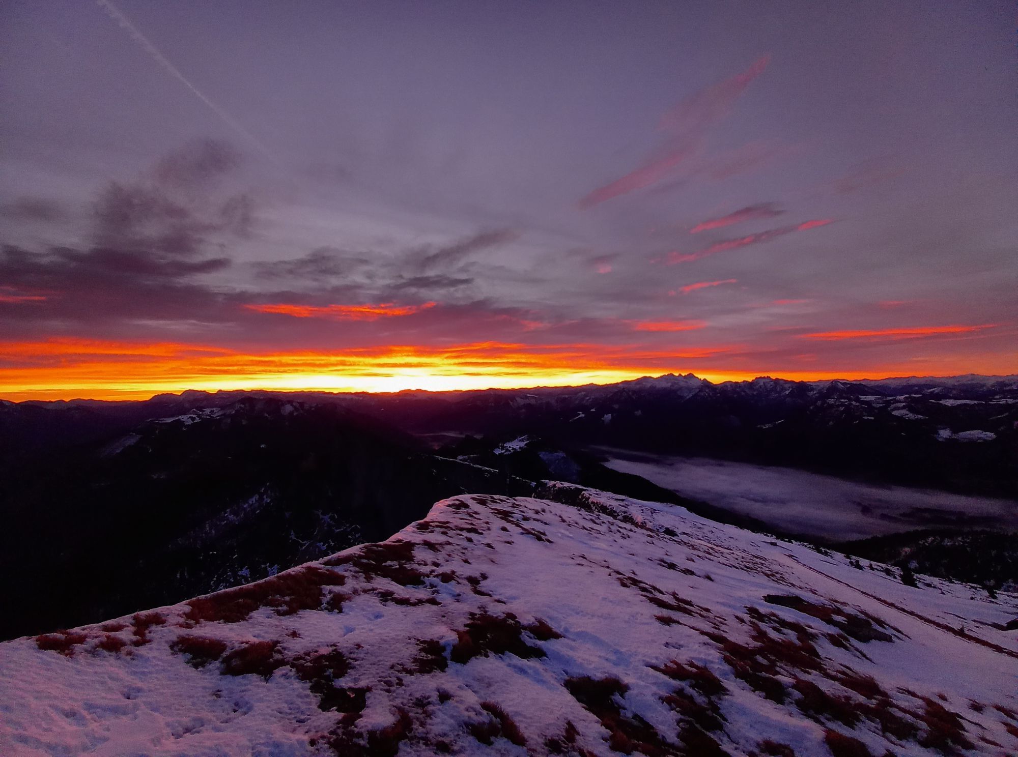
 © Bobo 7 1Created on 06.09.2022
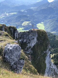 © Bobo 7 1Created on 06.09.2022
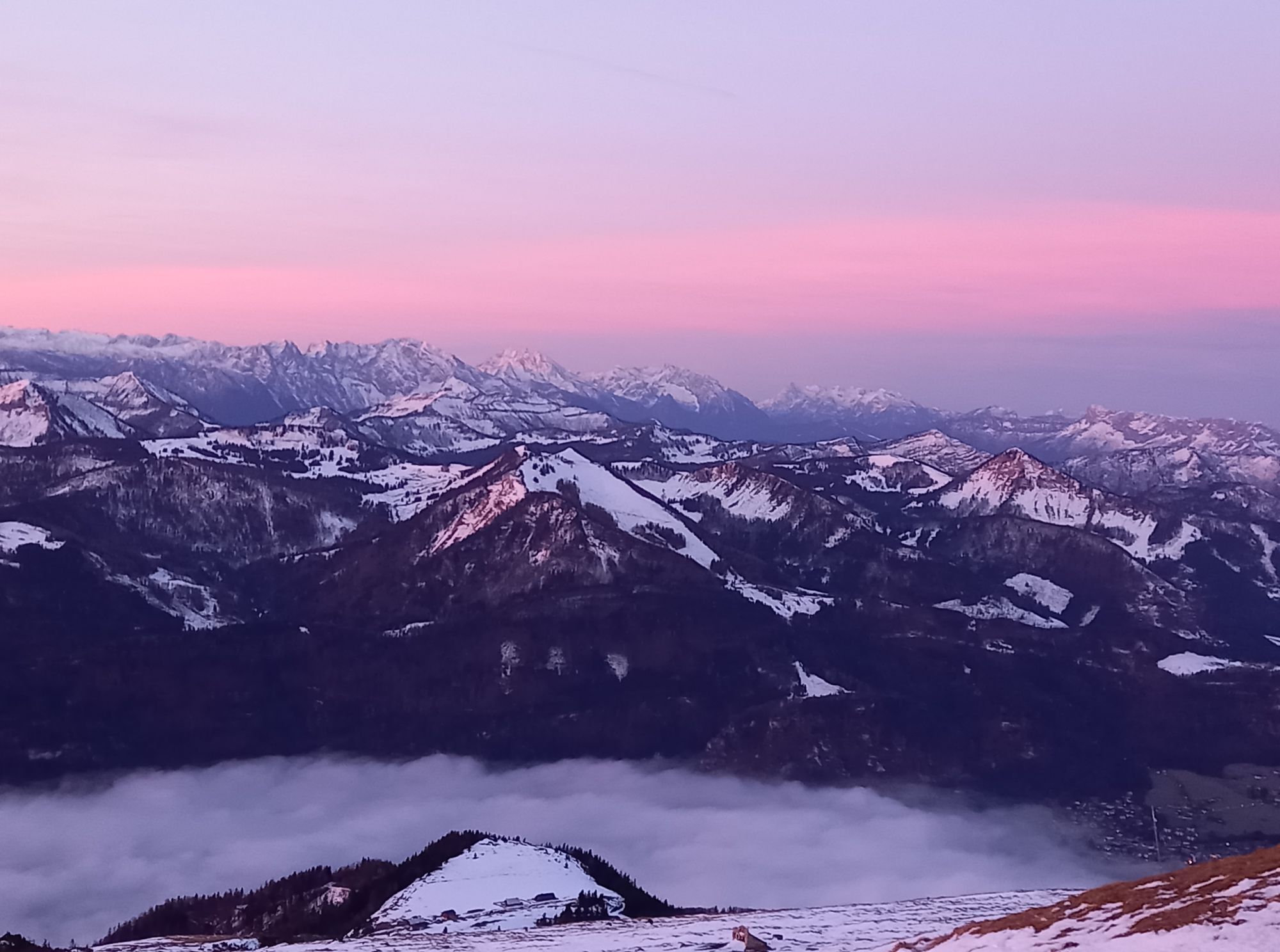
 © Lukas SchwarzCreated on 02.02.2025
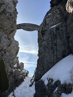 © Lukas SchwarzCreated on 02.02.2025
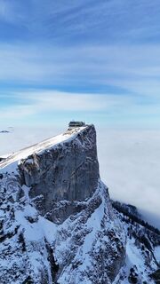 © Lukas SchwarzCreated on 02.02.2025
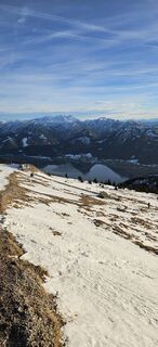
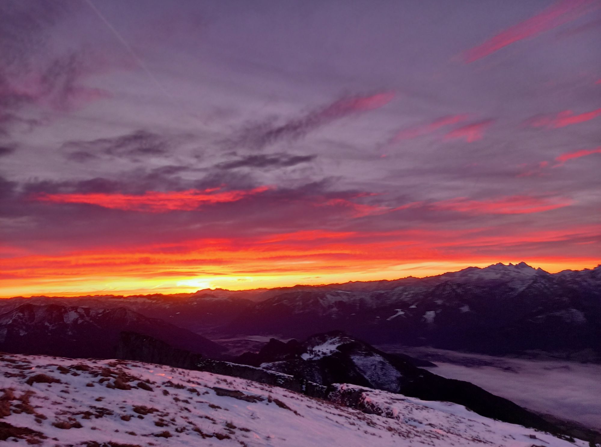
 © WernerCreated on 25.01.2025
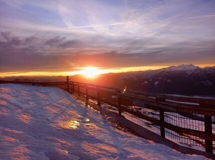
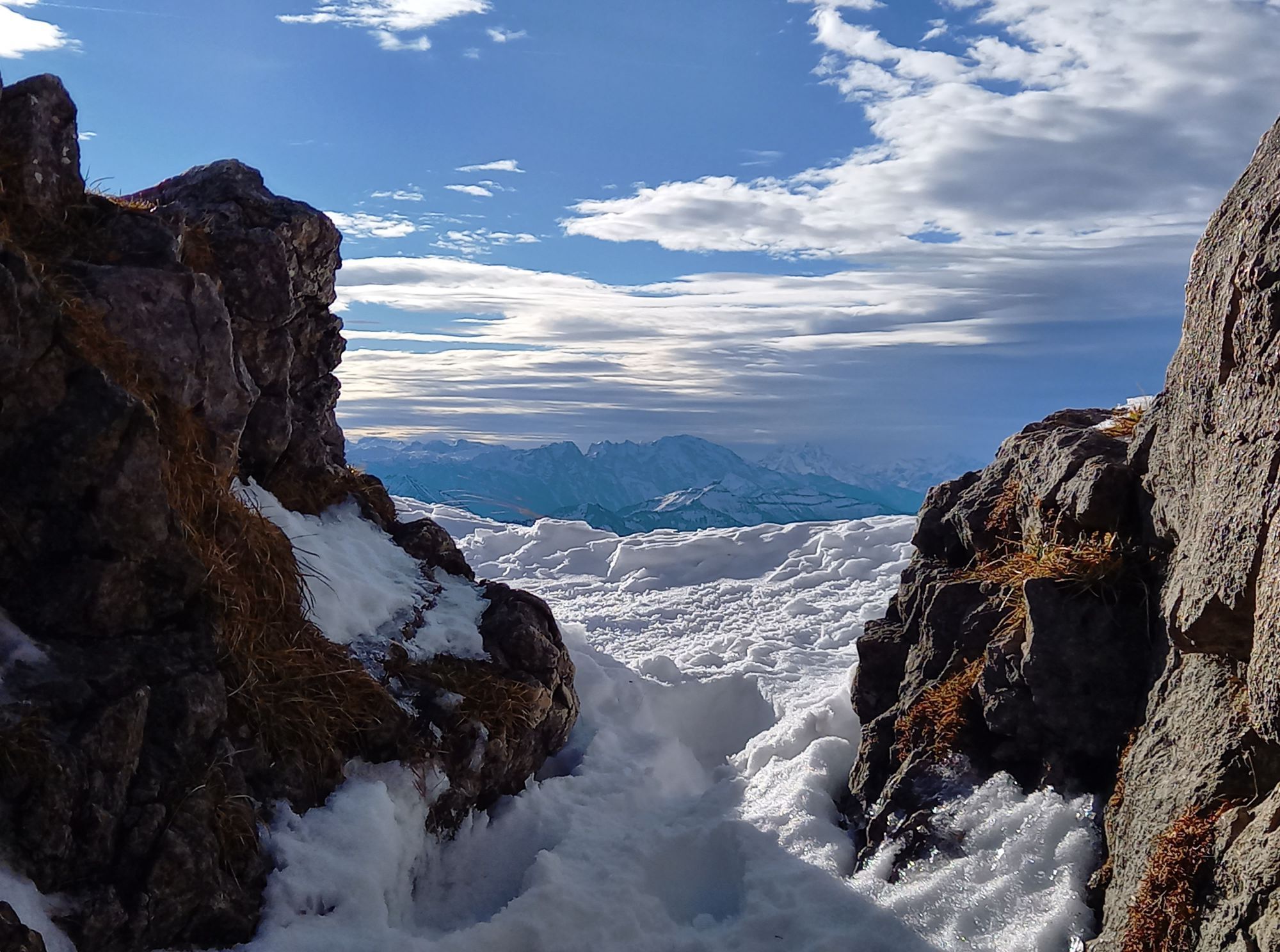
 © b.bergfeeCreated on 19.12.2024
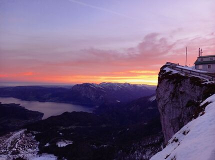 © b.bergfeeCreated on 19.12.2024
 © b.bergfeeCreated on 19.12.2024
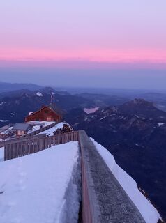 © b.bergfeeCreated on 19.12.2024
 © b.bergfeeCreated on 19.12.2024
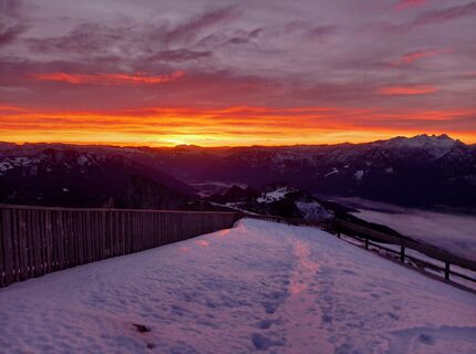 © b.bergfeeCreated on 19.12.2024
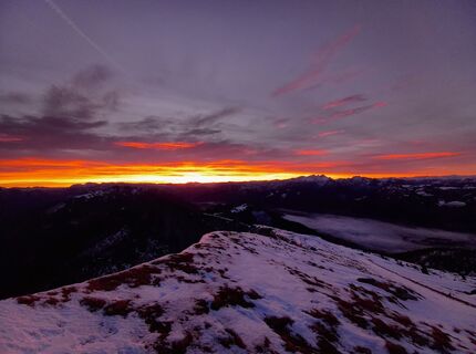 © b.bergfeeCreated on 19.12.2024
 © b.bergfeeCreated on 19.12.2024
 © b.bergfeeCreated on 19.12.2024
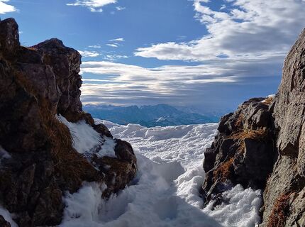 © b.bergfeeCreated on 18.12.2024
 © b.bergfeeCreated on 18.12.2024
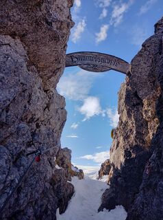 © b.bergfeeCreated on 18.12.2024
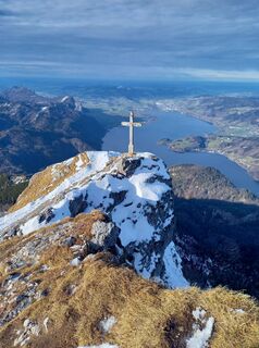 © b.bergfeeCreated on 18.12.2024
 © b.bergfeeCreated on 18.12.2024
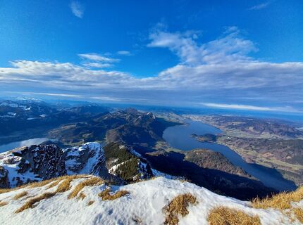 © b.bergfeeCreated on 18.12.2024
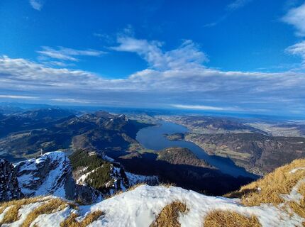 © b.bergfeeCreated on 18.12.2024
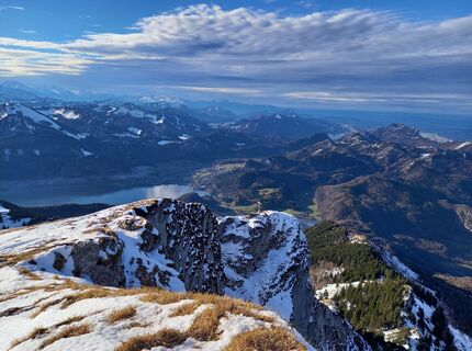 © b.bergfeeCreated on 18.12.2024
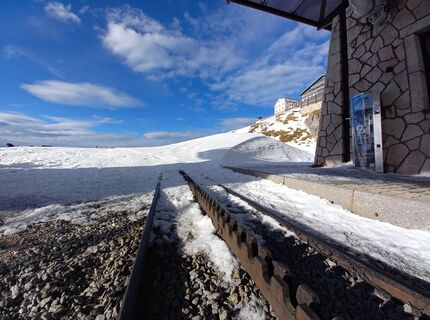 © b.bergfeeCreated on 18.12.2024
 © b.bergfeeCreated on 18.12.2024
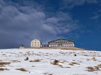 © b.bergfeeCreated on 18.12.2024
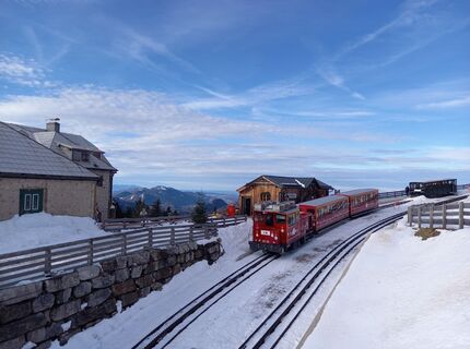 © b.bergfeeCreated on 18.12.2024
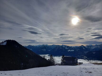 © b.bergfeeCreated on 18.12.2024
 © b.bergfeeCreated on 18.12.2024
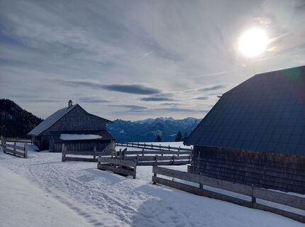 © b.bergfeeCreated on 18.12.2024
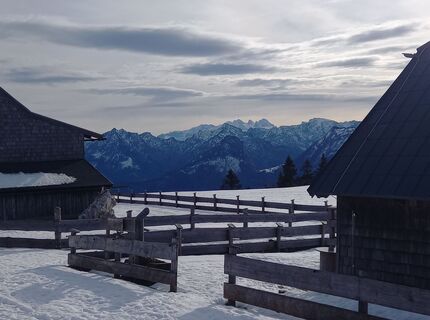 © b.bergfeeCreated on 18.12.2024
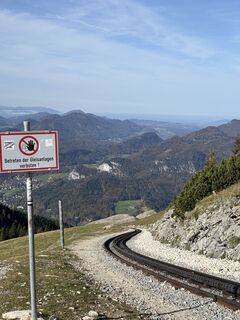
 © Yevgen TymchukCreated on 16.10.2024
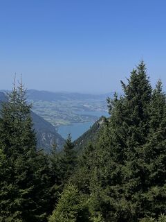
 © Moritz EngelCreated on 24.08.2024
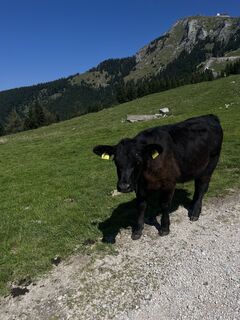 © Moritz EngelCreated on 24.08.2024
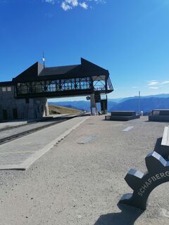
 © Róbert BaloghCreated on 16.10.2022
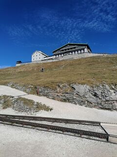 © Róbert BaloghCreated on 16.10.2022
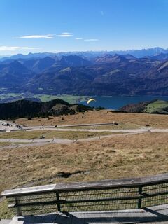 © Róbert BaloghCreated on 16.10.2022
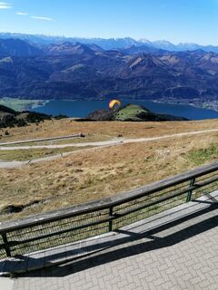 © Róbert BaloghCreated on 16.10.2022
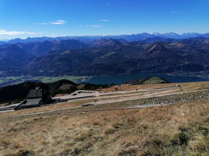 © Róbert BaloghCreated on 16.10.2022
 © Róbert BaloghCreated on 16.10.2022
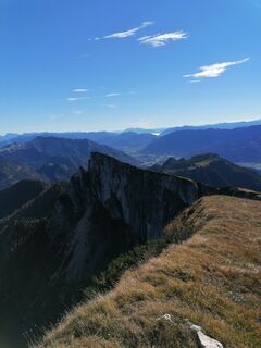 © Róbert BaloghCreated on 16.10.2022
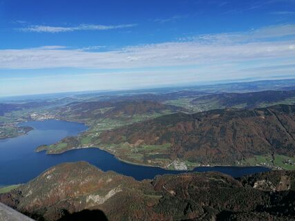 © Róbert BaloghCreated on 16.10.2022
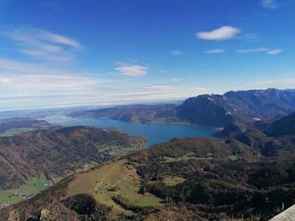 © Róbert BaloghCreated on 16.10.2022
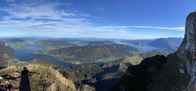 © Roland BogenhuberCreated on 16.10.2022
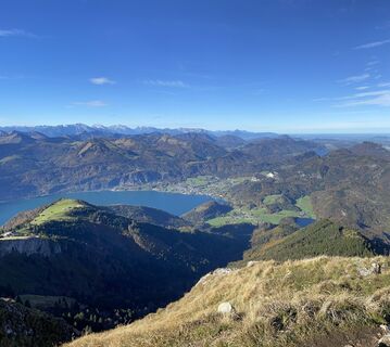 © Roland BogenhuberCreated on 16.10.2022


Ausgangspunkt ist der Parkplatz nahe dem Gleitschirm-Landeplatz in Winkl. Alternativ kann auch bei der FF Winkl geparkt werden. Die erste Stunde der Tour ist fast ausschließlich im Wald, nach etwa 1-1,5h...
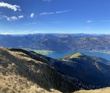
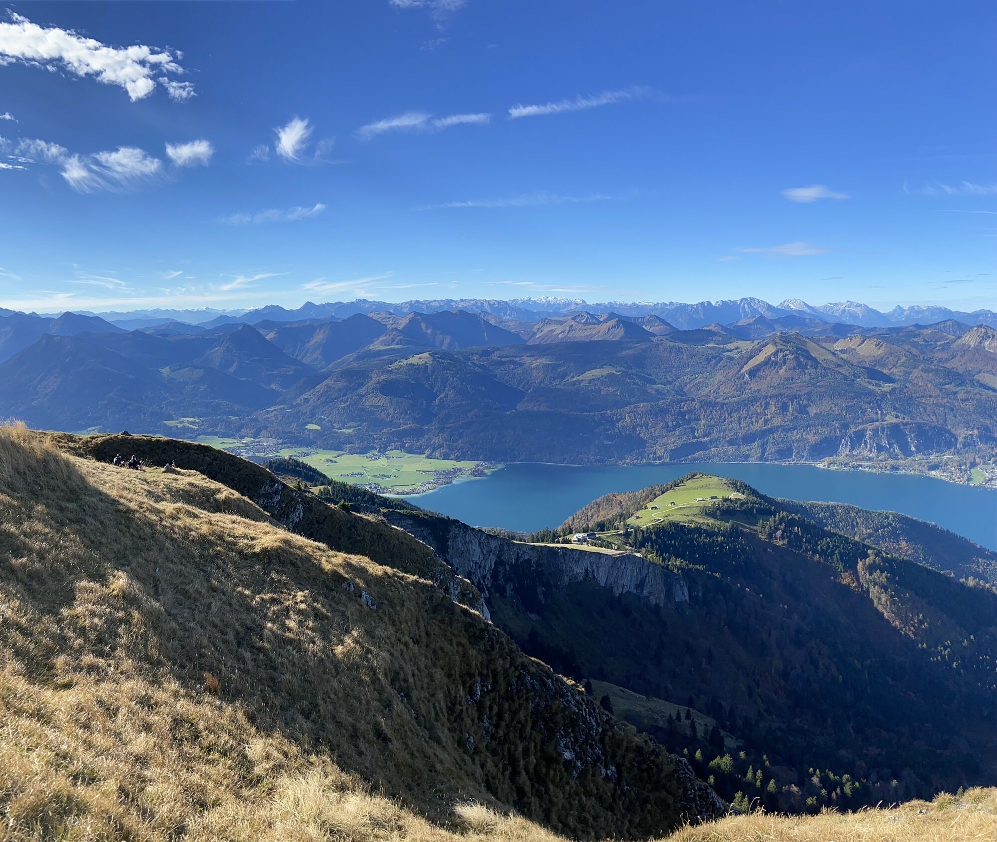
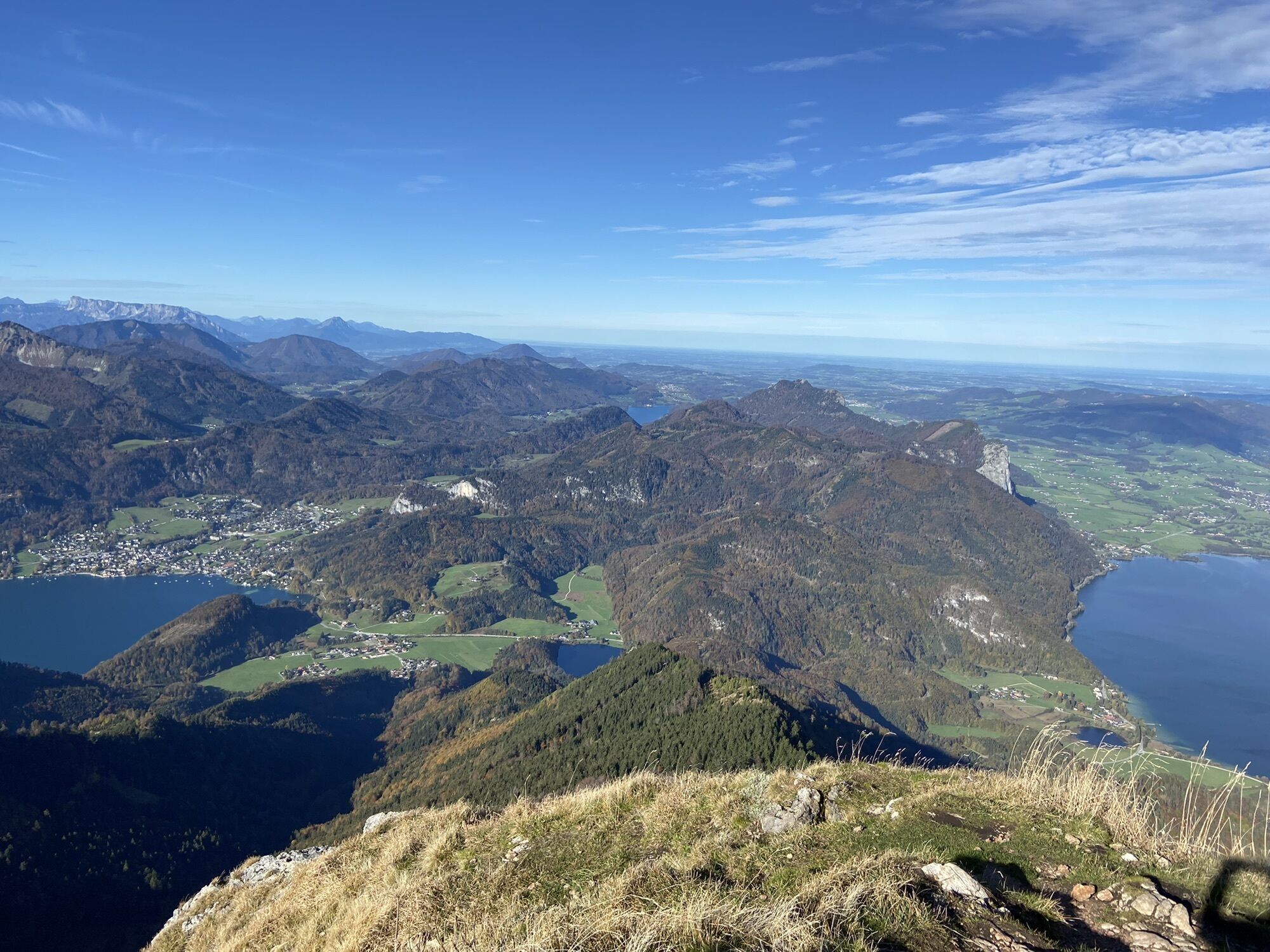
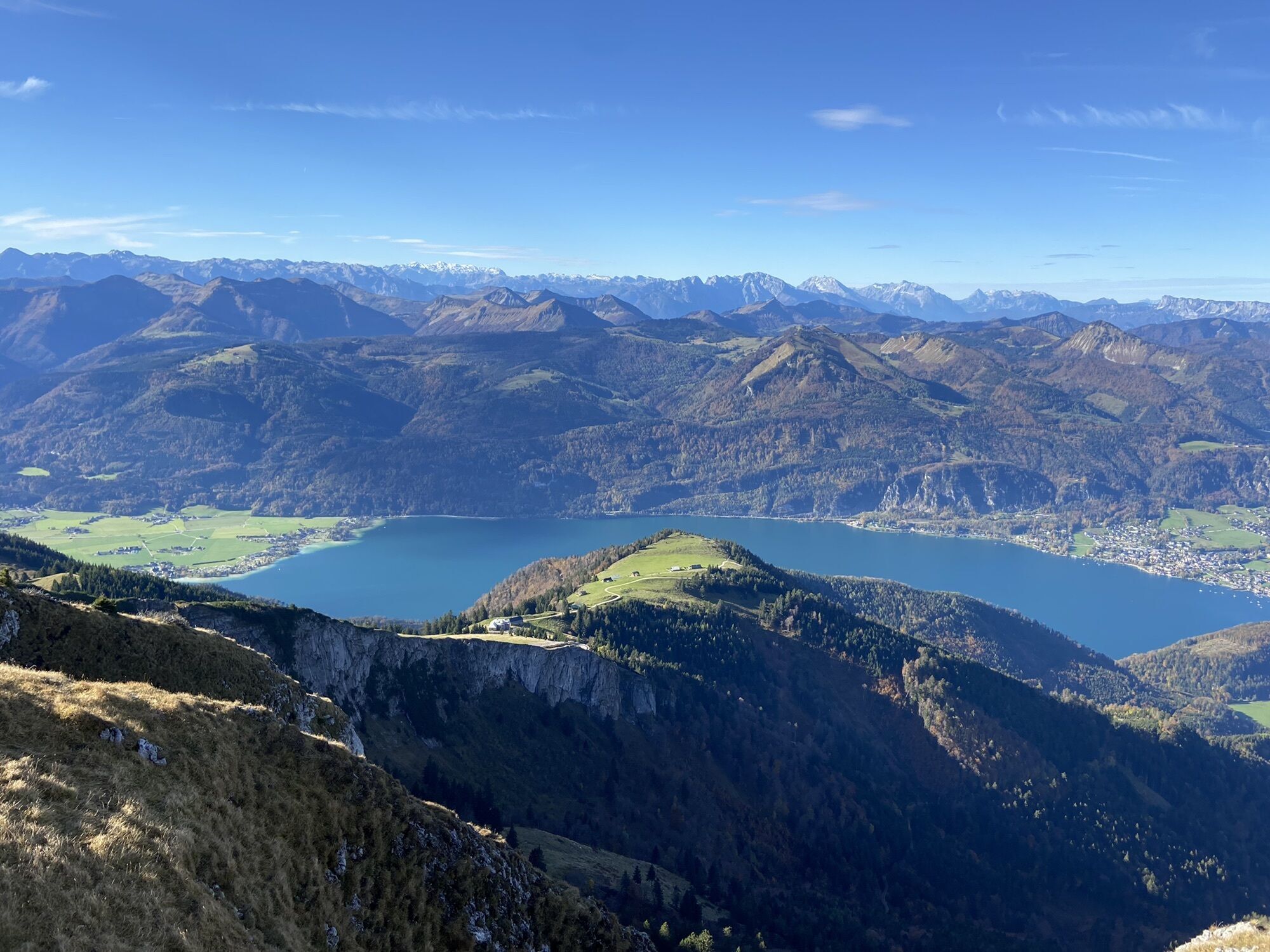
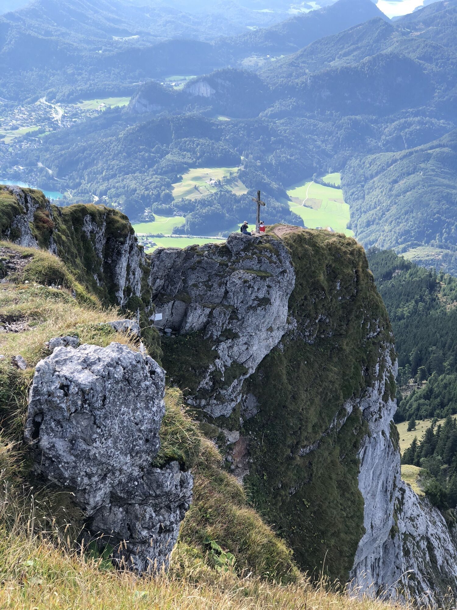
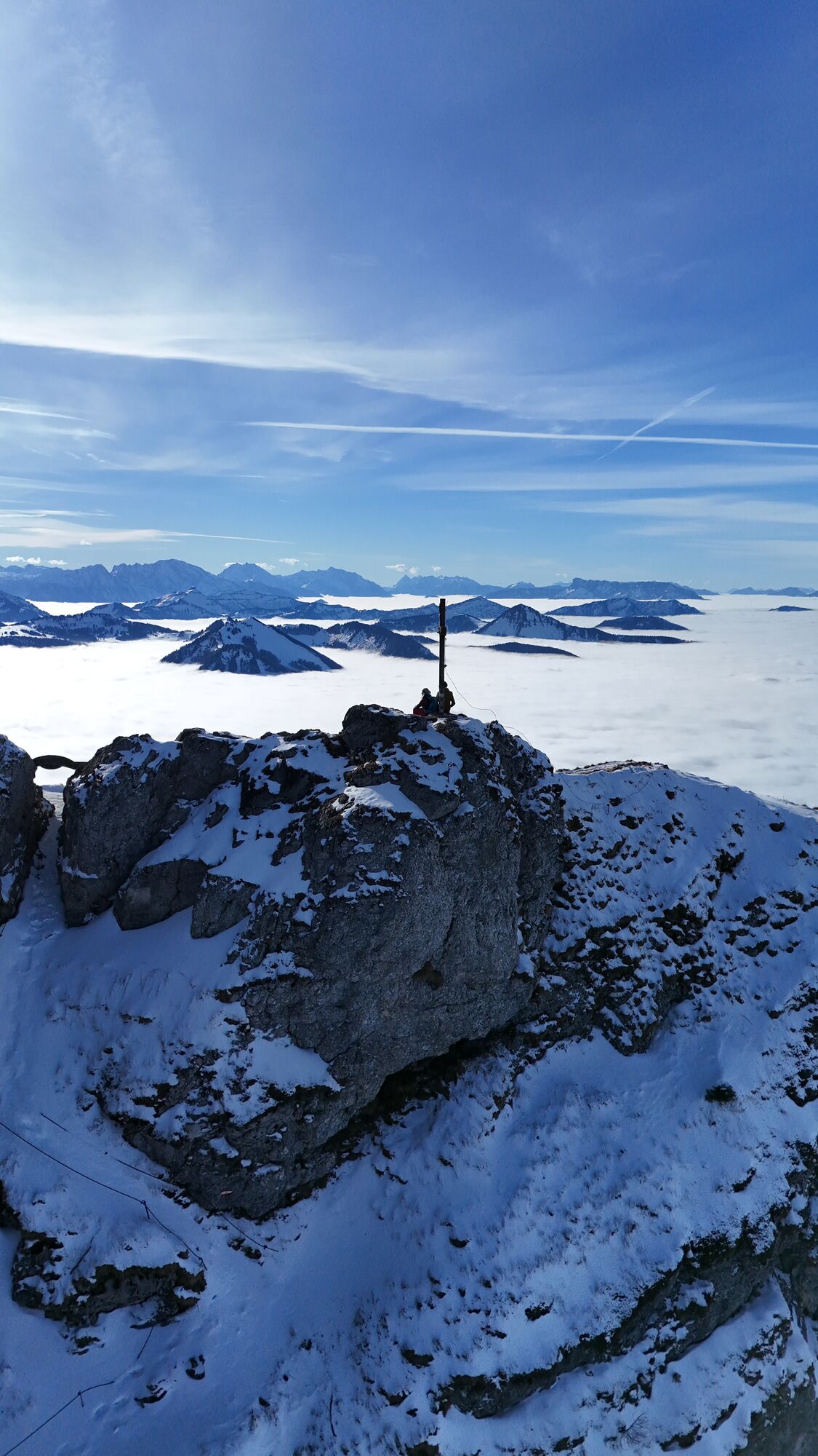
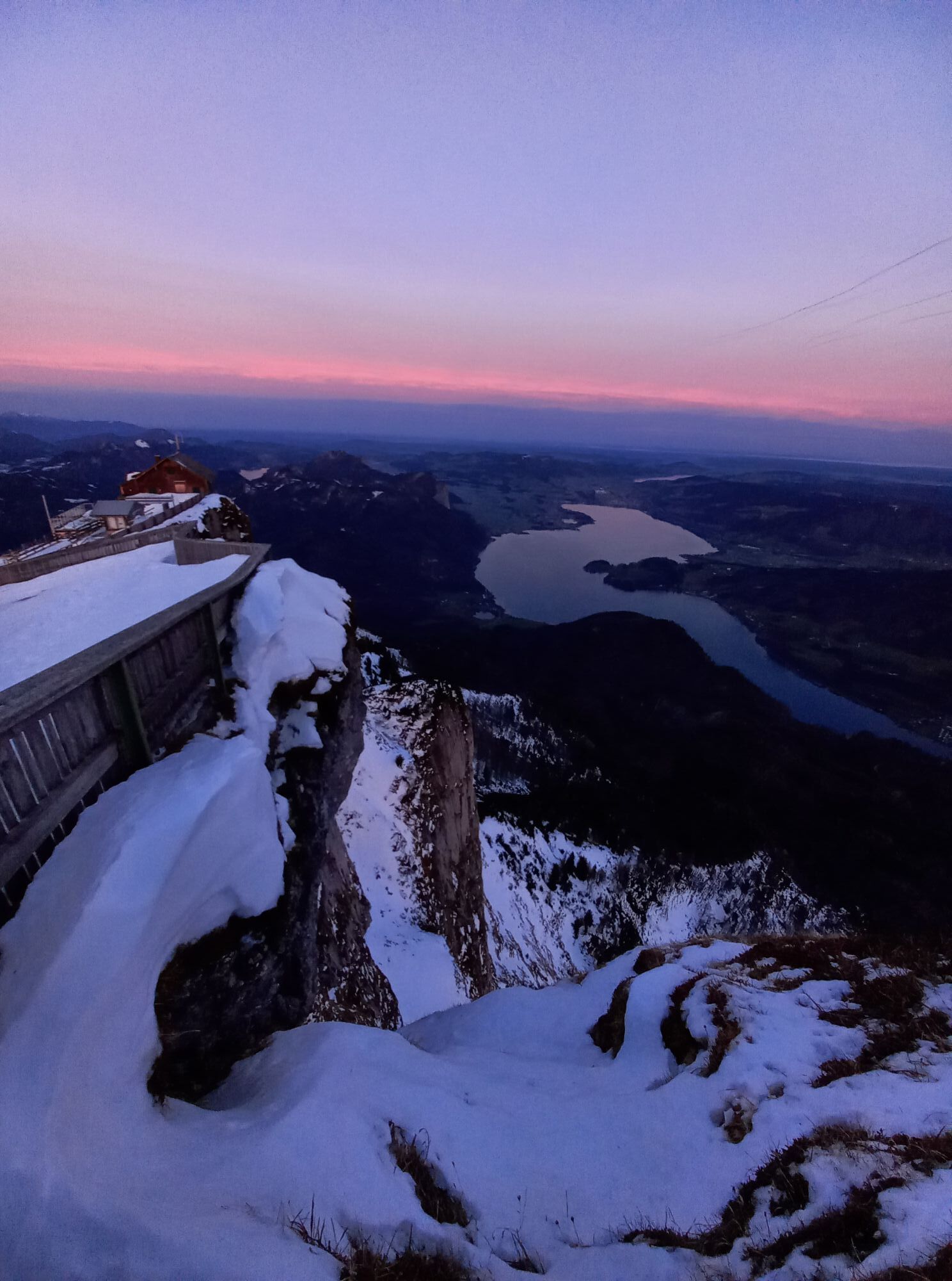
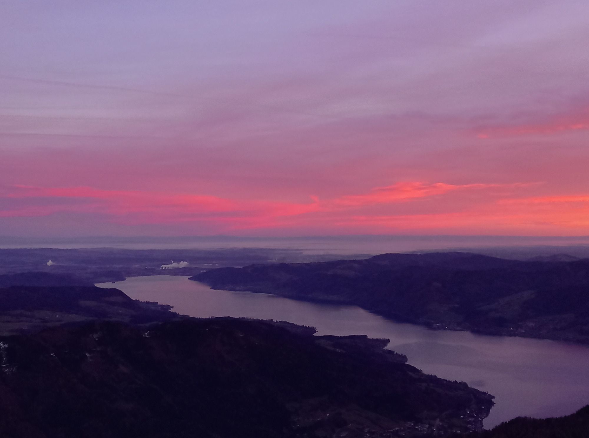
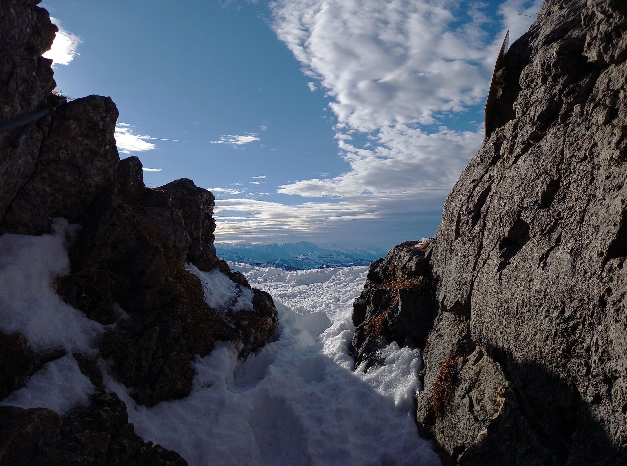
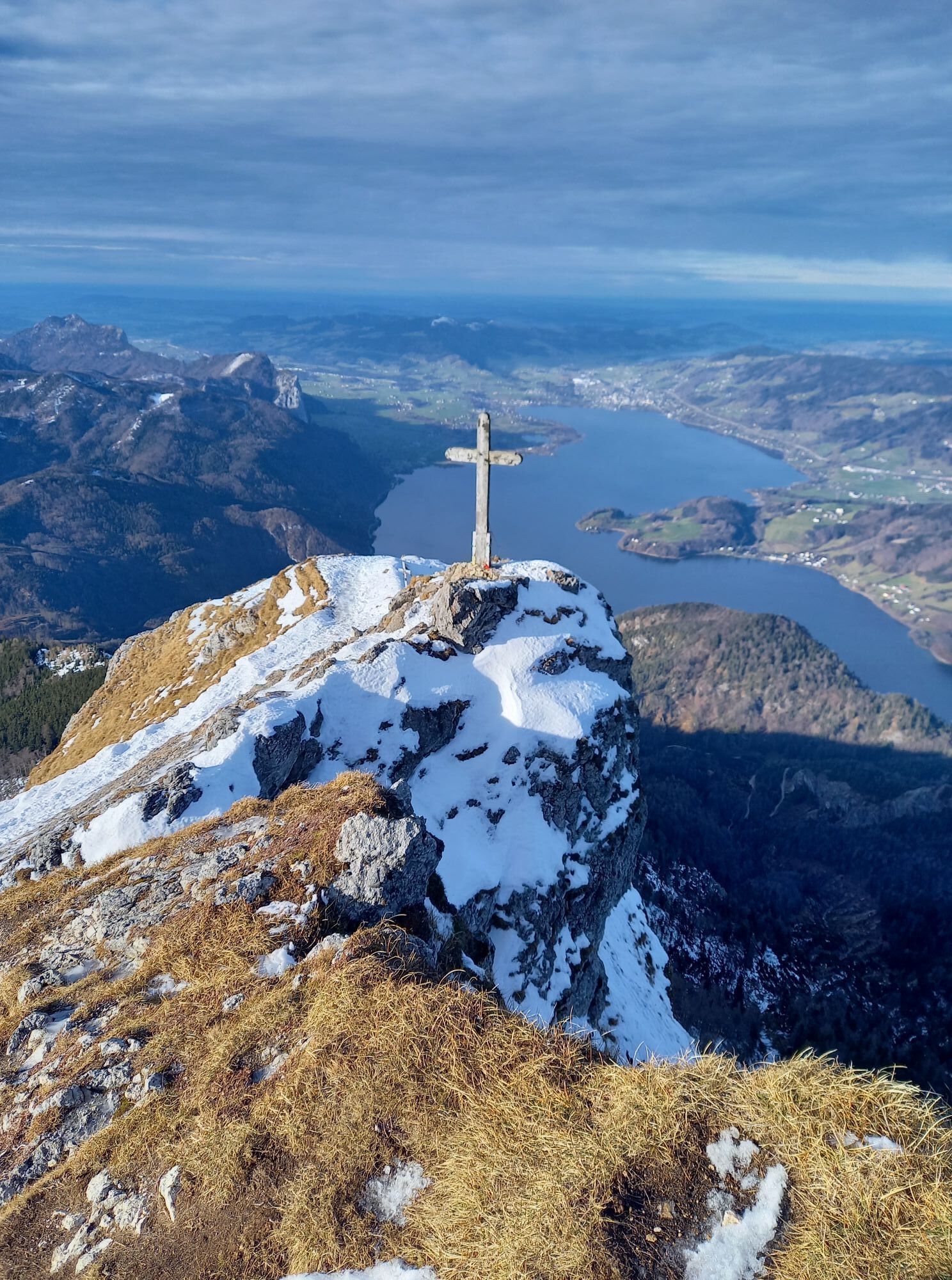
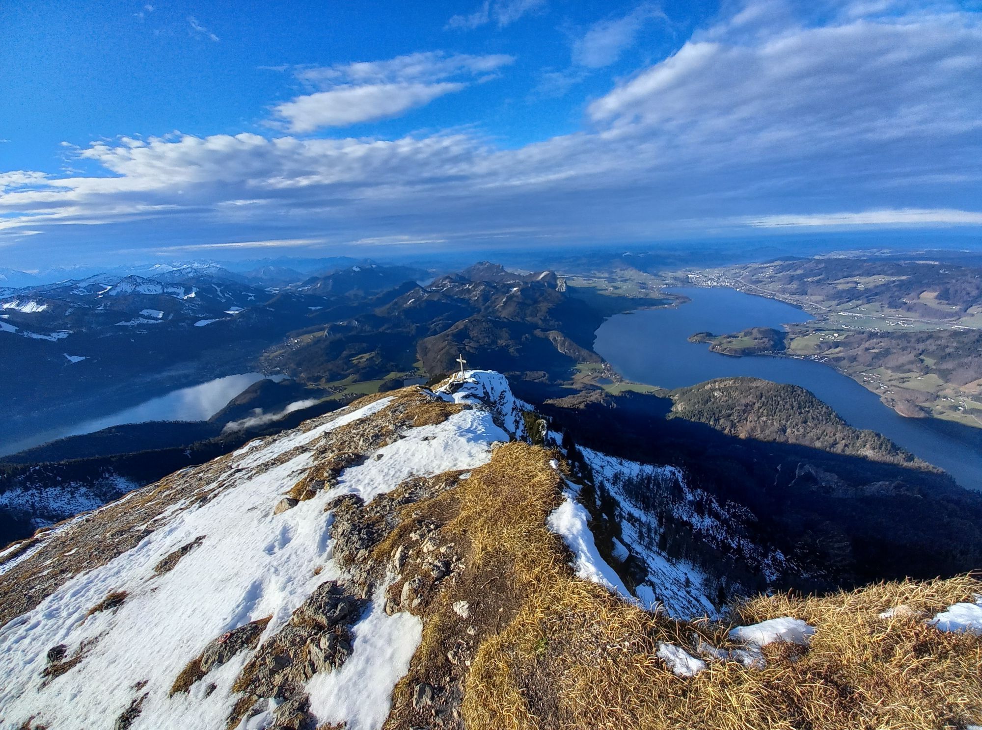
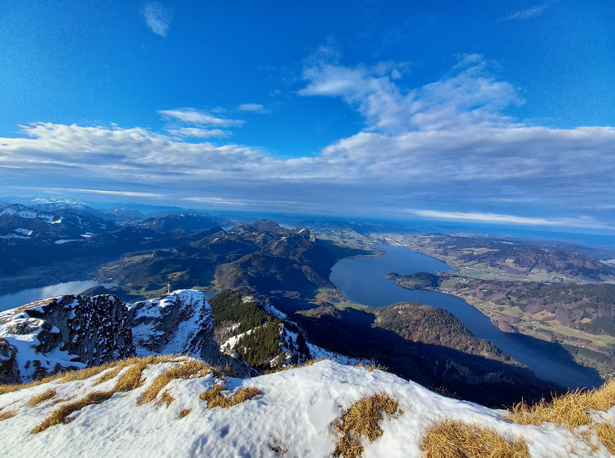
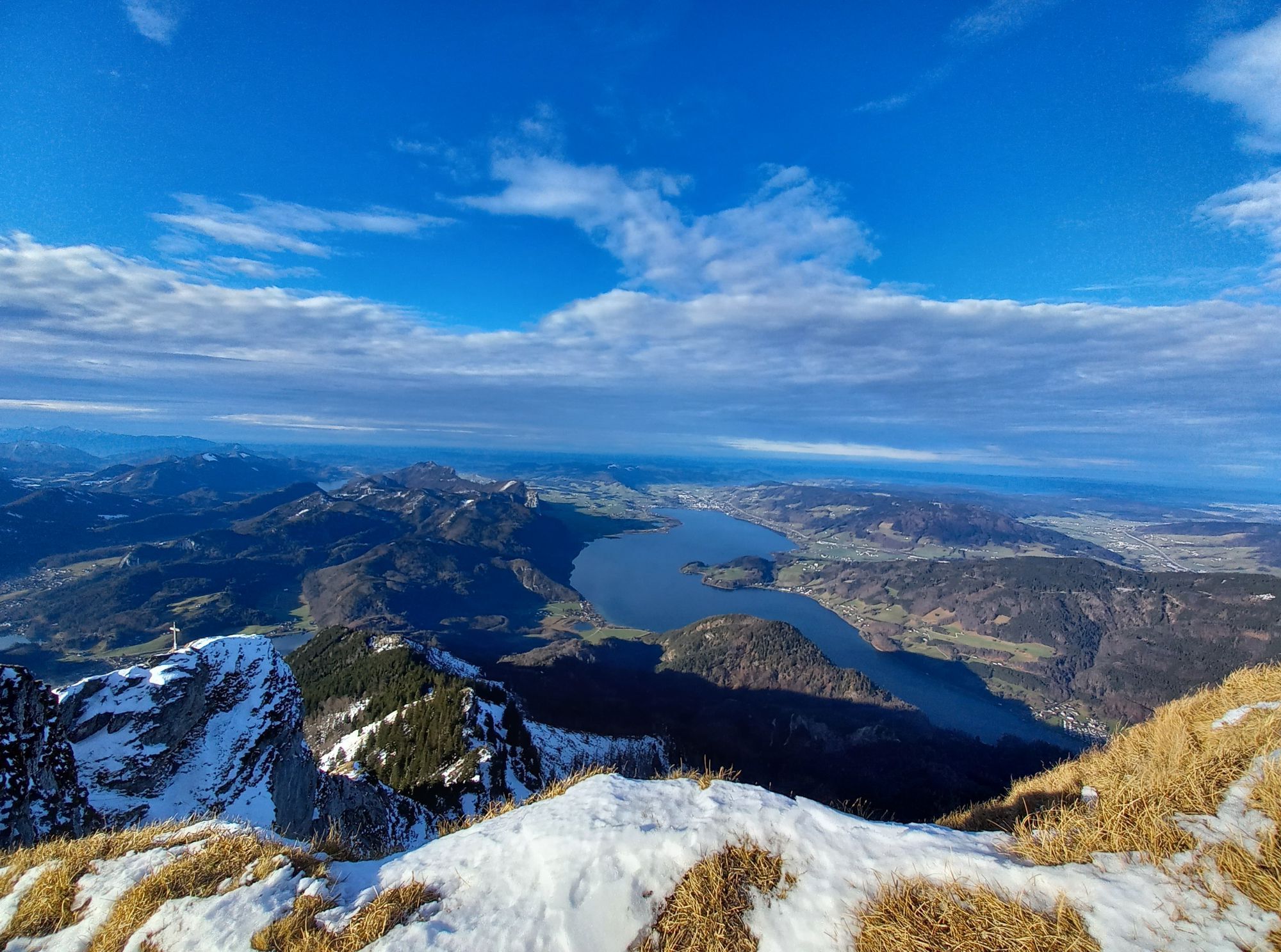
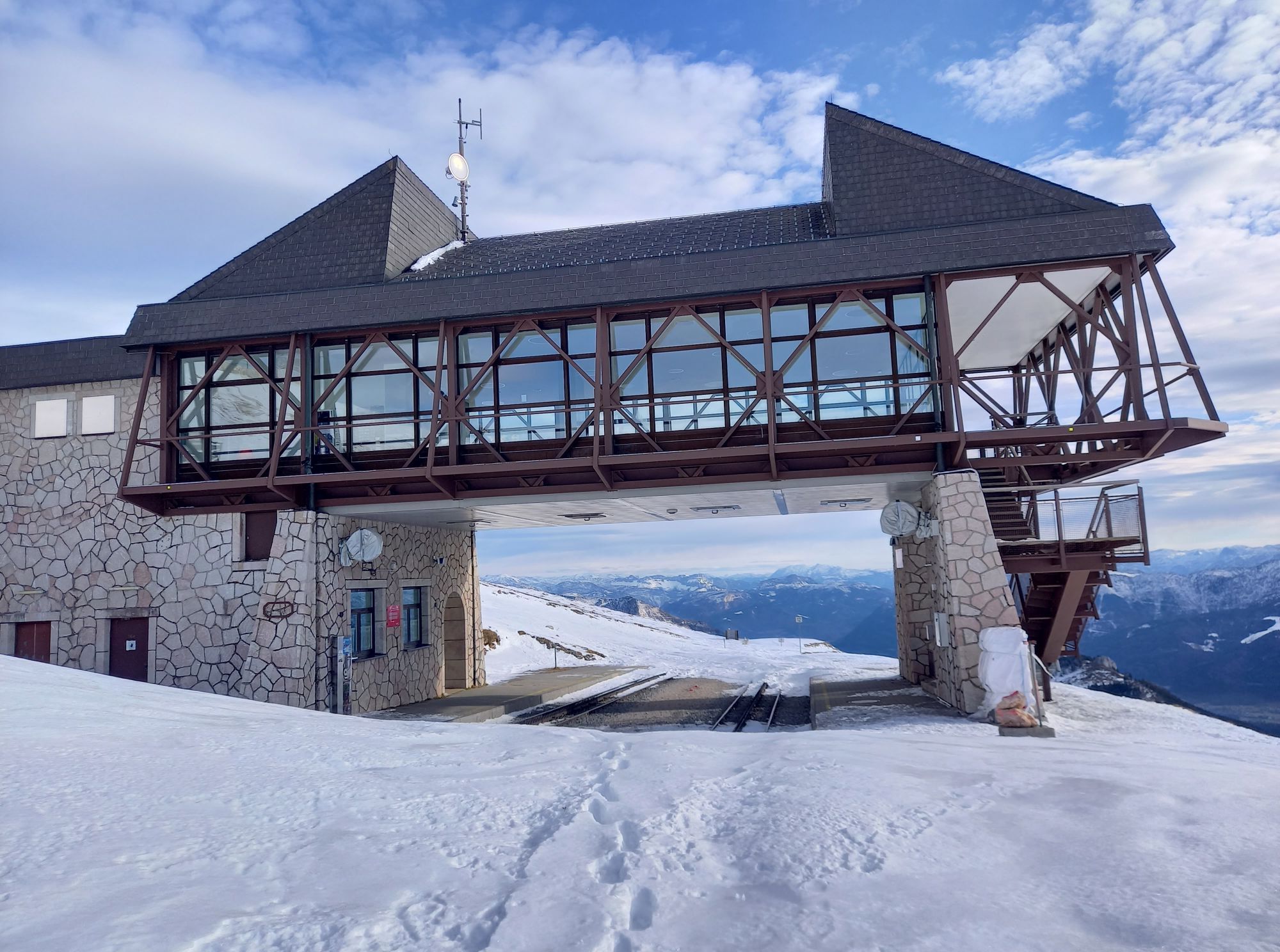
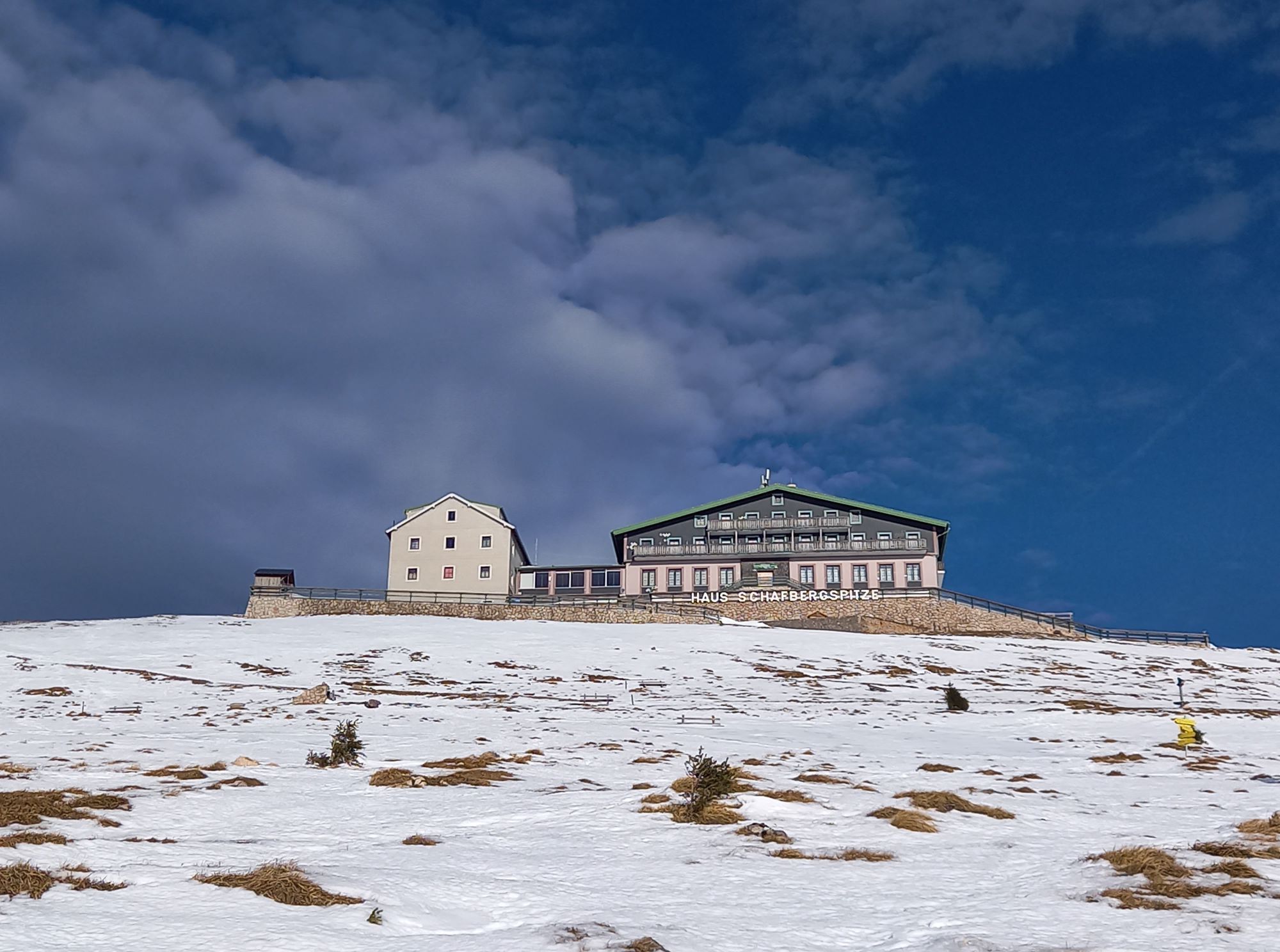
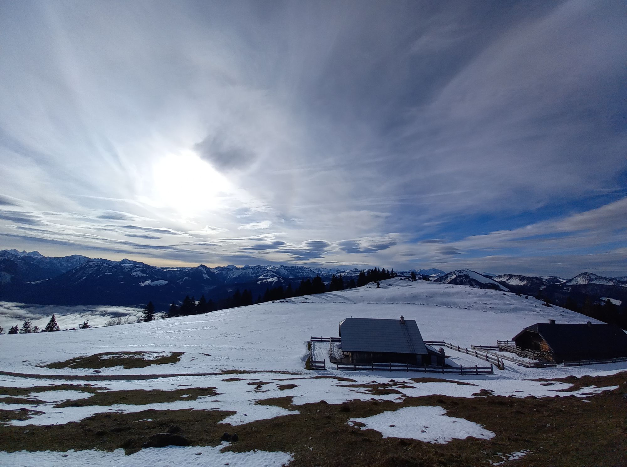
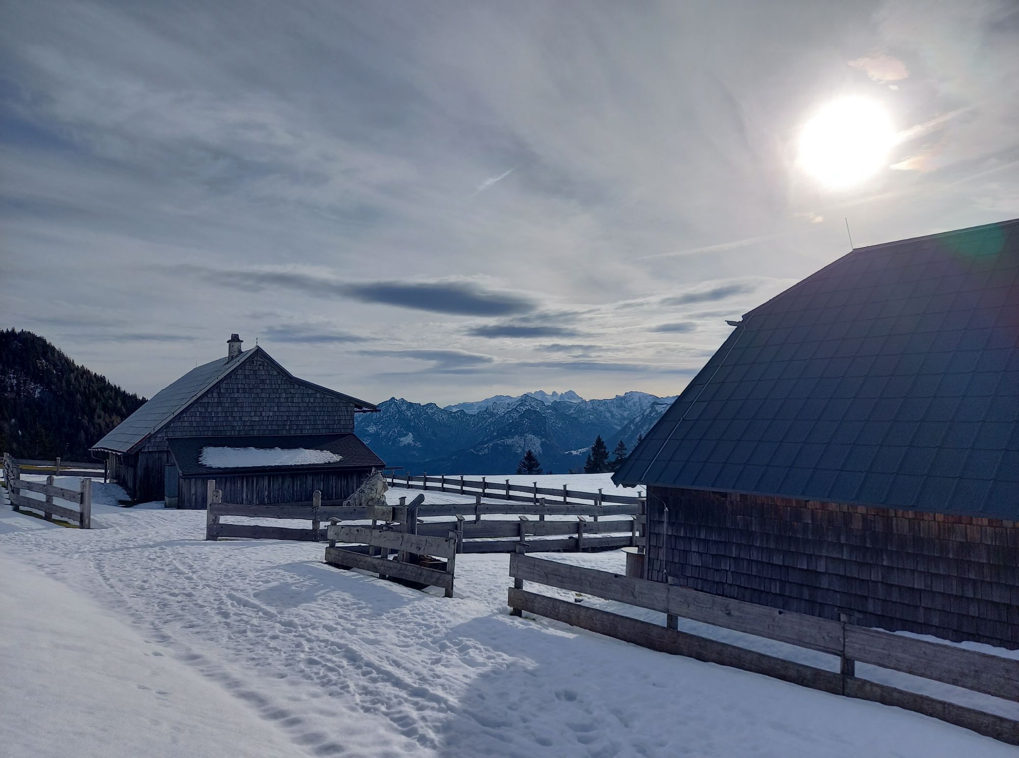
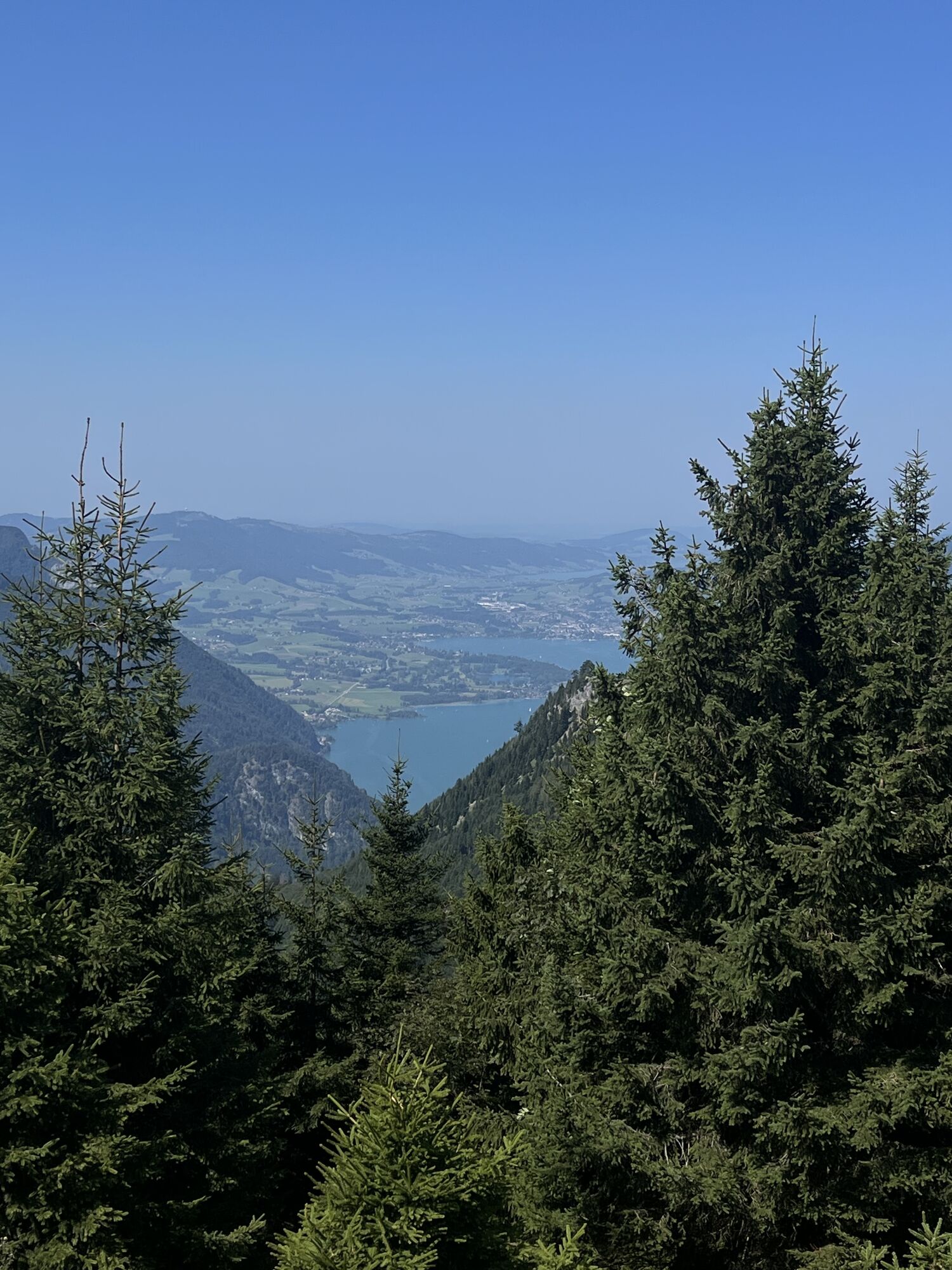
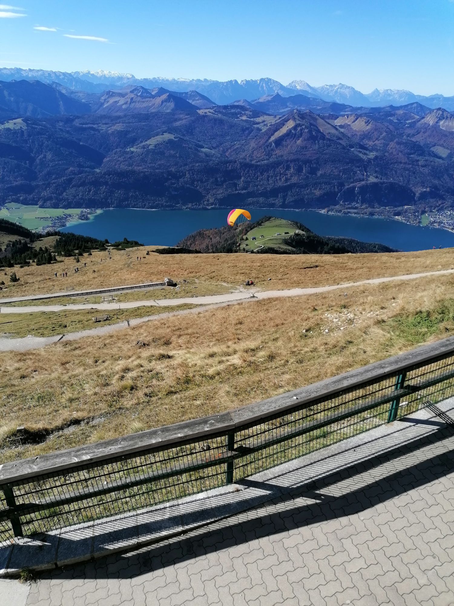
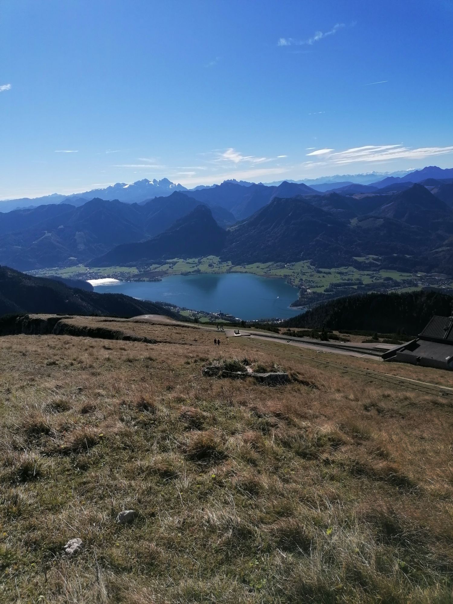
Ausgangspunkt ist der Parkplatz nahe dem Gleitschirm-Landeplatz in Winkl. Alternativ kann auch bei der FF Winkl geparkt werden. Die erste Stunde der Tour ist fast ausschließlich im Wald, nach etwa 1-1,5h je nach Tempo erreicht man die Schafbergalm und kreuzt nach weiteren 10-15min die Zahnradbahn ein erstes Mal. Der Aufstieg von der Alm auf die Schafbergspitze nimmt nochmal ungefähr die selbe Zeit in Anspruch wie vom Parkplatz zur Schafbergalm. Ab der Alm ist der Weg großteils auf Gehwegen in Almwiesen. Das Gipfelkreuz ist etwas unterhalb der Hütten (westlich / in Aufstiegrichtung links). Kurz vor dem Gipfelkreuz mündet ebenfalls der Weg über die Himmelspforte ein. Vom Gipfelkreuz sind einige Salzkammergut Seen sichtbar (Attersee, Mondsee, Wolfgangsee, Fuschlsee, Irrsee)


Himmelspforthütte bzw. Schafberghütte
Yes
Parkplätze bei der FF Winkl oder beim Ausgangspunkt dieser Tour (Nähe Gleitschirm-Landeplatz)
Popular tours in the neighbourhood
- 3,7
Pillstein Panorama Rundweg
lightHiking3,40 km - 3,6
Mondsee: Rund um den Mondsee
lightCycling26,3 km - 4,1
Hintersee Rundwanderweg
lightHiking5,10 km - 4,8
Schober -Aussichtsplattform mit Seensicht
heavyHiking2,65 km - 4,8
Eisenaualm
mediumMountainbike37 km - 4,2
Weißenbach am Attersee - Schoberstein
mediumHiking3,31 km - 4,8
Schoberstein Attersee
mediumHiking5 km - 4,8
/\ Sparber
heavyHiking6,82 km - 4,8
Schafberg
mediumHigh tour16,7 km - 4,6
Almkogel Rundwanderung Salzburg
lightHiking9,60 km
Hiking & Tracking


Don't miss out on offers and inspiration for your next holiday
Your e-mail address has been added to the mailing list.