


Photos from our users
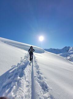
 © schmidi12Created on 10.04.2023
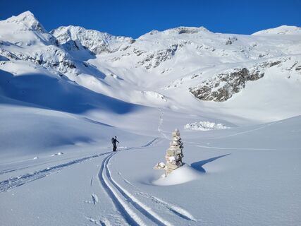 © schmidi12Created on 10.04.2023
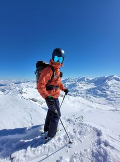 © schmidi12Created on 10.04.2023
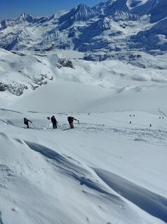 © schmidi12Created on 10.04.2023
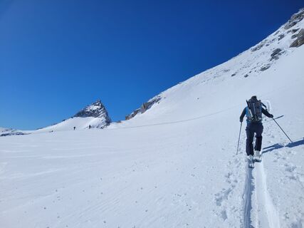 © schmidi12Created on 10.04.2023
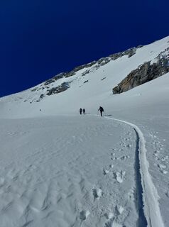 © schmidi12Created on 10.04.2023
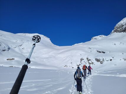 © schmidi12Created on 10.04.2023
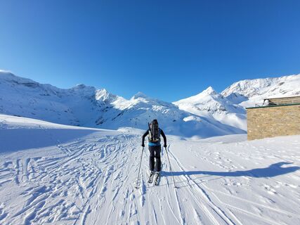 © schmidi12Created on 10.04.2023
 © schmidi12Created on 10.04.2023
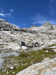
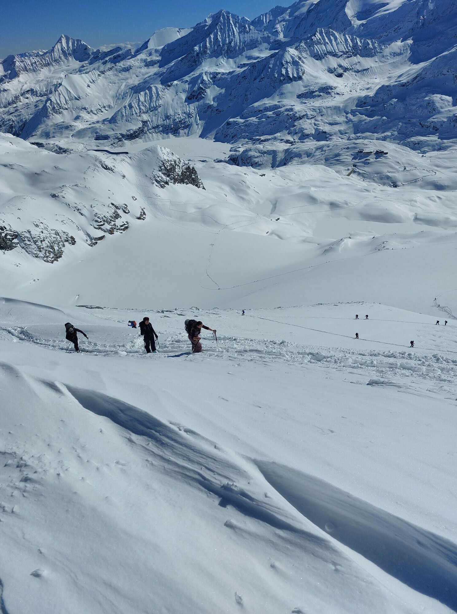
 © Judith WilkeCreated on 13.09.2022
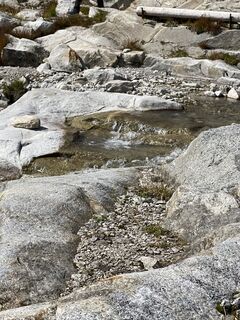 © Judith WilkeCreated on 13.09.2022
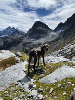 © Judith WilkeCreated on 13.09.2022


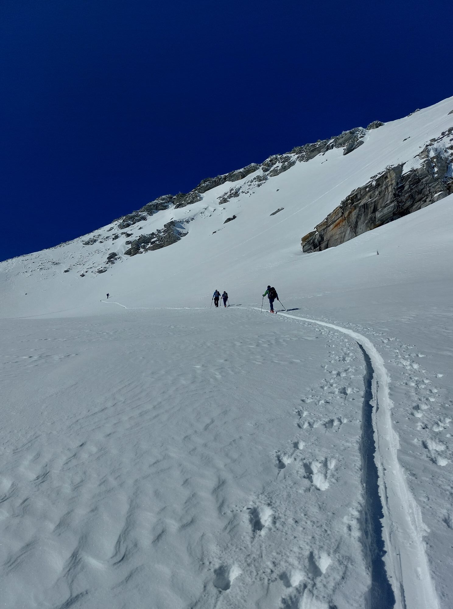

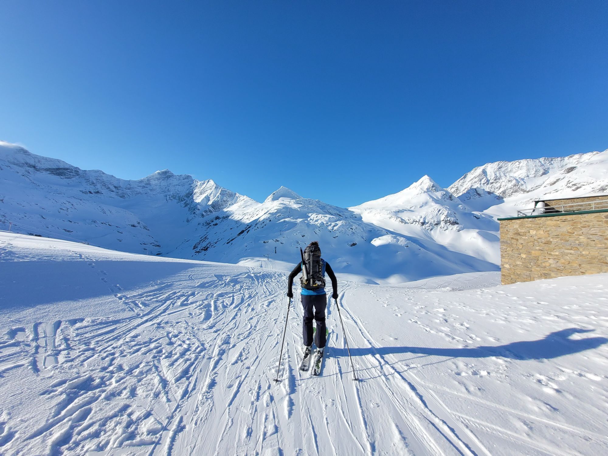

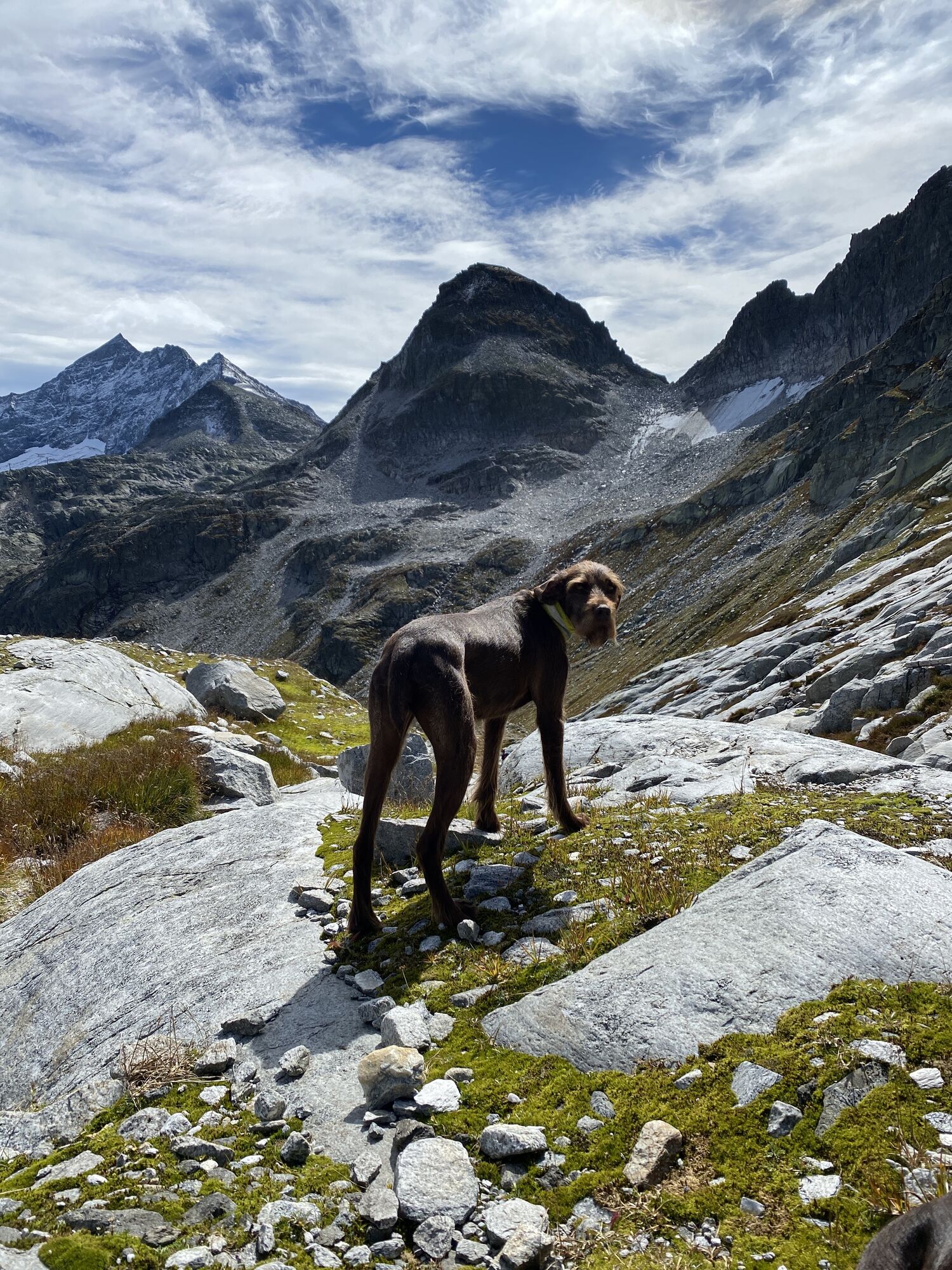
Der Gletscherweg vermittelt ein wunderschönes Hochgebirgspanorama mit 22 Gipfeln, davon 12 über 3.000 m und führt unmittelbar an den Fuß des beeindruckenden Sonnblick-Kees. Es kommt ein Gefühl auf, mit...
Der Gletscherweg vermittelt ein wunderschönes Hochgebirgspanorama mit 22 Gipfeln, davon 12 über 3.000 m und führt unmittelbar an den Fuß des beeindruckenden Sonnblick-Kees. Es kommt ein Gefühl auf, mit der Natur eins zu sein und kann nur staunen über die Lebendigkeit und Gewaltigkeit des Gletschers und der laufenden Veränderungen.
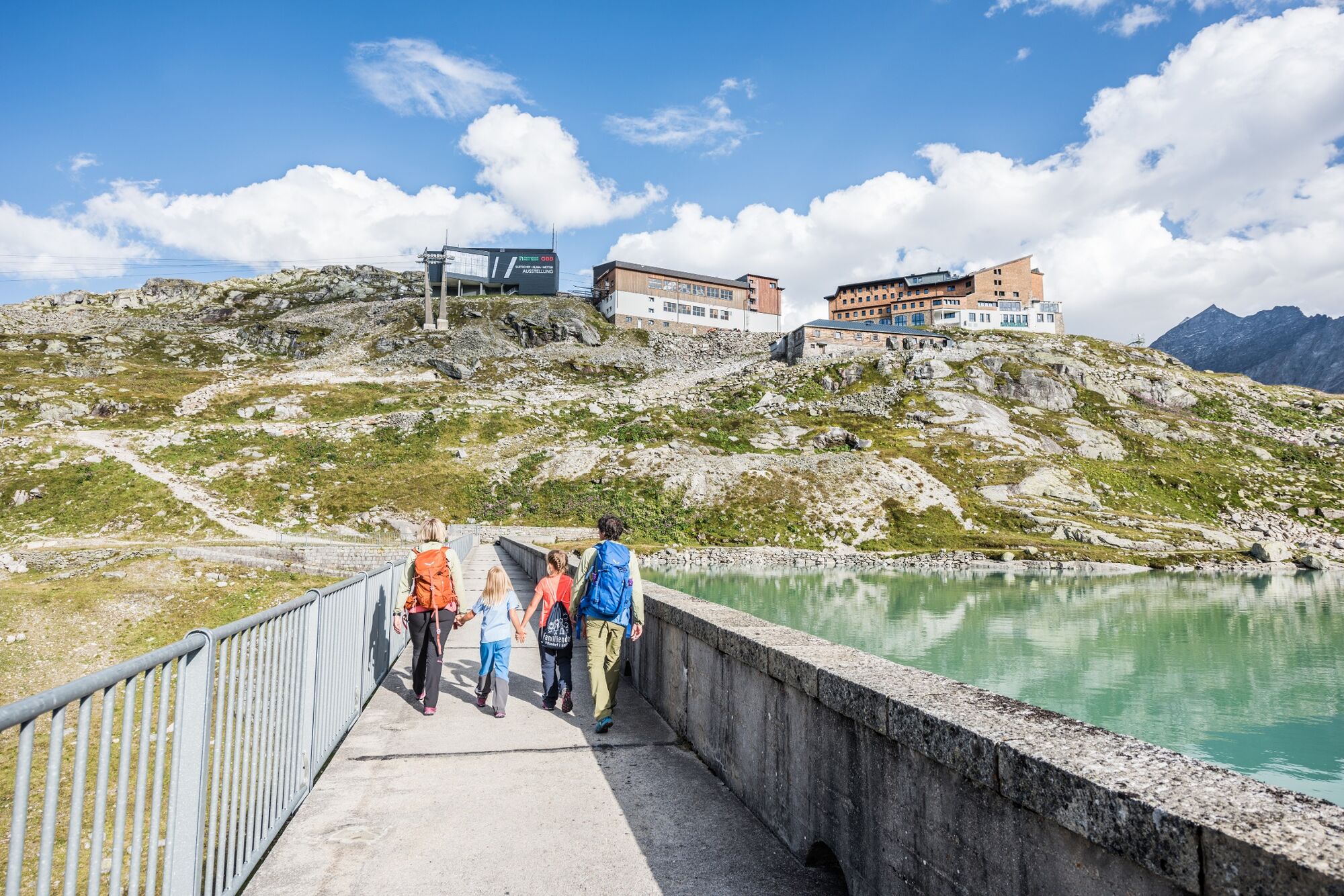
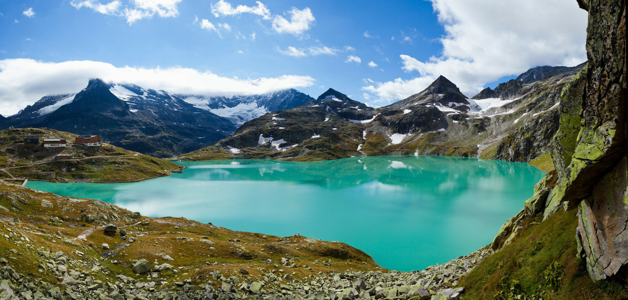
Ausgangspunkt: Bergstation Weißsee Gletscherwelt/Rudolfshütte (2.315 m)
Gehzeit: ca. 2,5 Stunden
Höhenunterschied: ca. 250 m
Anspruchsvolle Wanderung im hochalpinen Gelände - Wege gut beschildert und gesichert.

Vom Berghotel Rudolfshütte - Staumauer Weißsee geht man gegen den Uhrzeigersinn rund um den Weißsee.
Hochalpine Ausrüstung: festes Schuhwerk
Getränke
Wanderschuhe
mit öffentlichen Verkehrsmittel(Bus) oder PKW bis zur Talstation Enzingerboden-Seilbahnstation
Buszeiten:
Abfahrt : Uttendorf Ortsmitte 8.40 Uhr zum Enzingerboden
Abfahrt : Talstation Enzingerboden 14.41 Uhr oder 16.41 Uhr
Gratis Parkplatz am Enzingerboden
Popular tours in the neighbourhood
- 3,9
Glacier Route to the Pasterze with Gamsgrubenweg (up to Tunnel 6)
mediumHiking8,05 km - 4,6
Vom Matreier Tauernhaus über die Felsenkapelle nach Innergschlöss
lightHiking9,19 km - 4,5
Circular hike Proßeggklamm
mediumHiking8,41 km - 5,0
Figerhorn, 2743m, Lucknerhaus
mediumHiking6,69 km - 5,0
Kaiser-Franz-Josefs-Höhe zur Oberwalderhütte
heavyHiking5,52 km - 4,9
Glockner
mediumHigh tour19 km - 4,8
Glockner Alpincenter - Salmhütte - Hohenwartkees
mediumHiking8,64 km - 5,0
Gletscherweg Innergschlöß Großvenediger
mediumHiking11,0 km - 5,0
Vom Matreier Tauernhaus zum Venedigerhaus
lightHiking8,98 km - 4,5
1 Großglockner Normalweg von der Stüdlhütte (Tirol & Kärnten)
heavyHigh tour8,17 km
Hiking & Tracking


Don't miss out on offers and inspiration for your next holiday
Your e-mail address has been added to the mailing list.