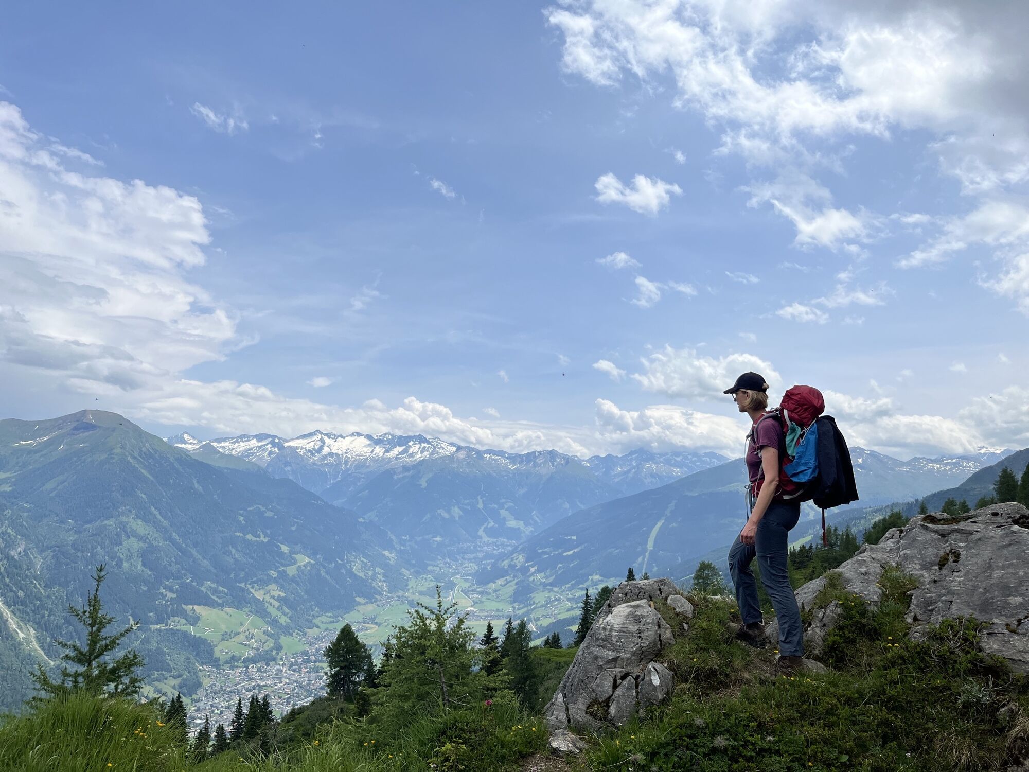
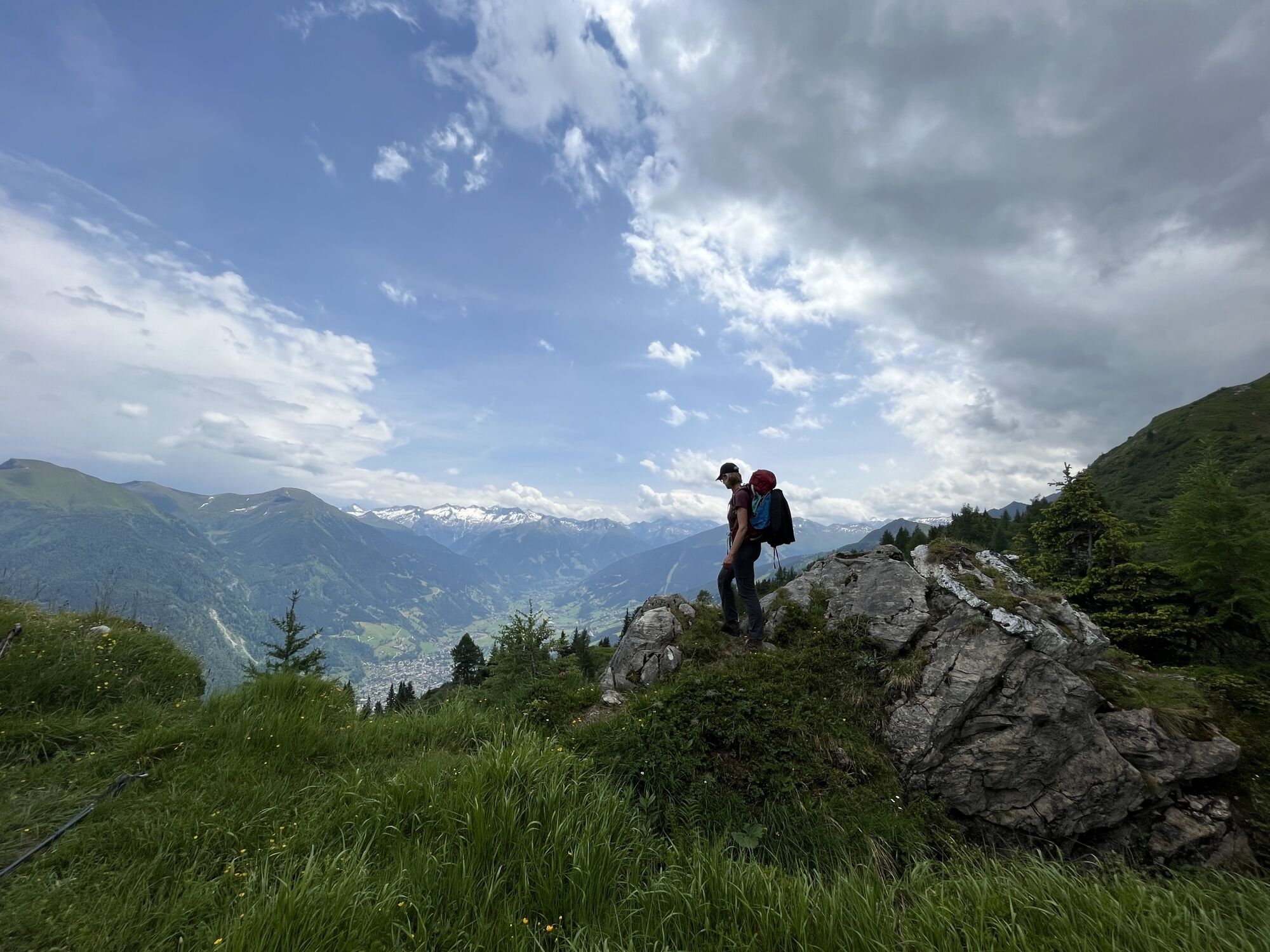
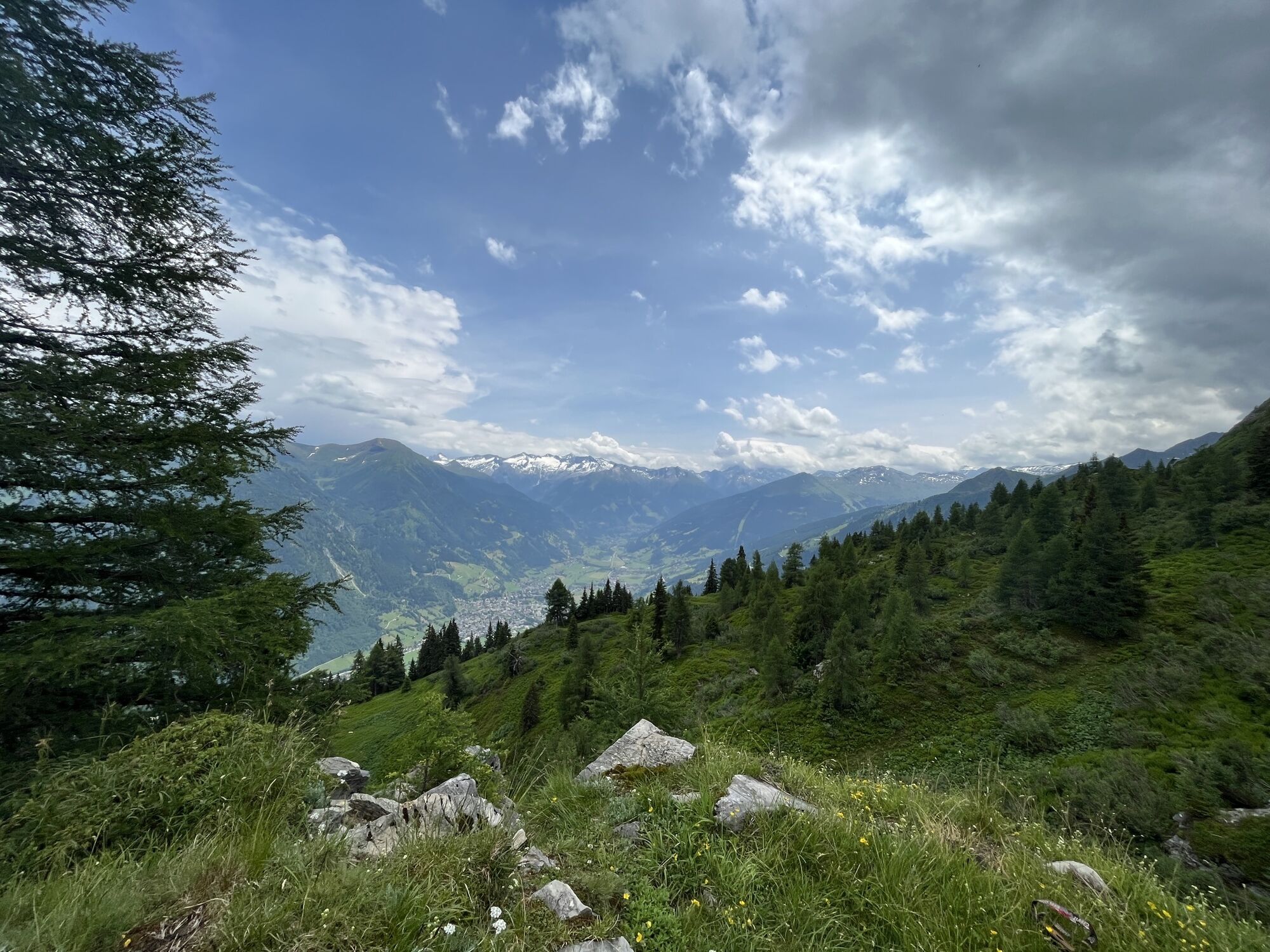
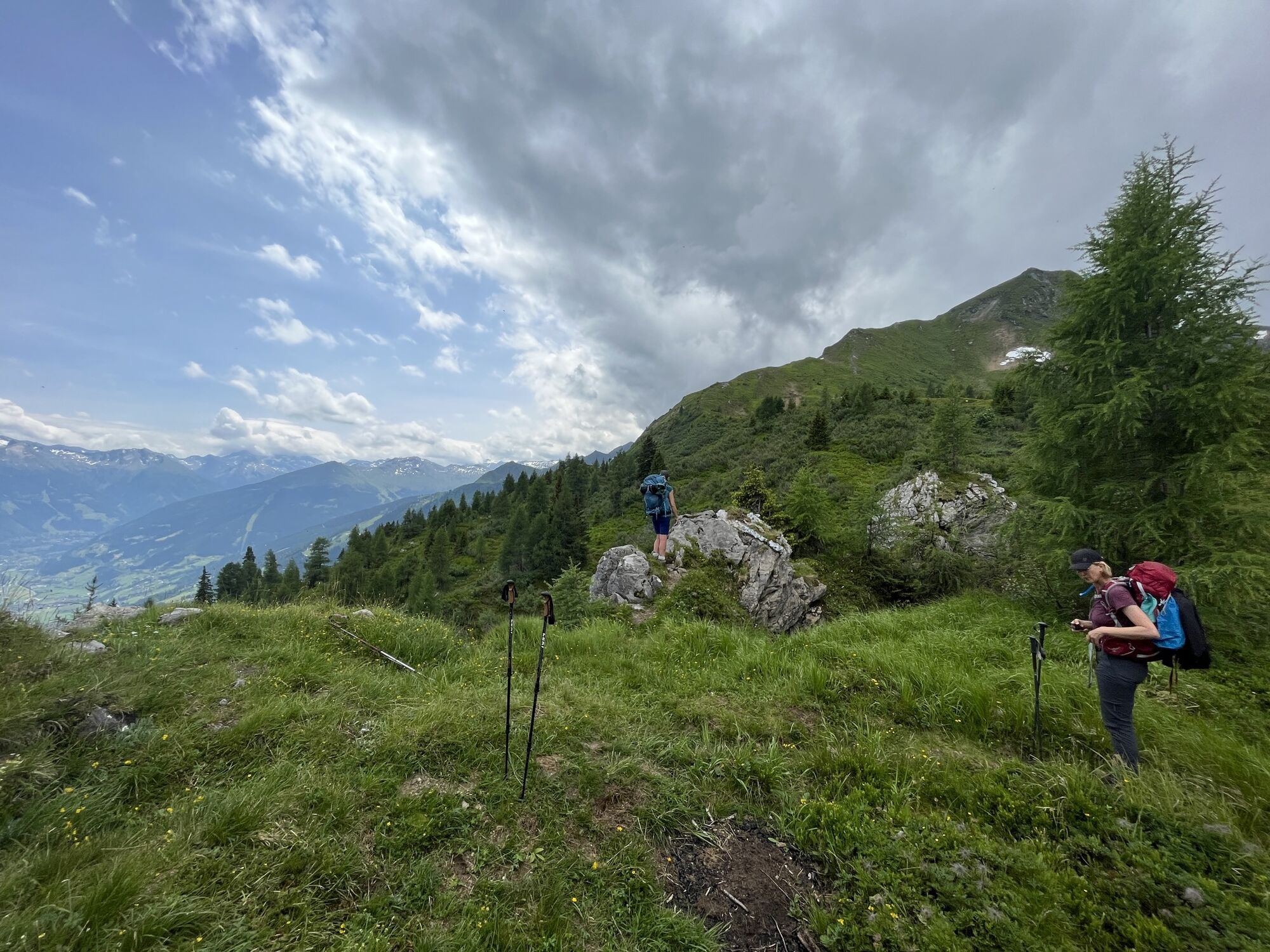
Hubertuskapelle - Biberalm - Gfriet - Dorfgastein
Hiking
Navigate
Navigate
Get this tour on your mobile
Hubertuskapelle - Biberalm - Gfriet - Dorfgastein
Hiking
14,08
km
Scan the QR code and start navigation in the bergfex app

Hiking & Tracking


Distance
14,08
km
Duration
05:15
h
Ascent
719
m
Sea level
1.005 -
1.924
m
Track download
Hubertuskapelle - Biberalm - Gfriet - Dorfgastein
Hiking
14,08
km


Route
Hubertuskapelle
(1.177 m)
Place of worship
0,3 km
S' Woidbründl
(1.453 m)
Source
1,3 km
Ankogelblick
(1.474 m)
Viewpoint
1,6 km
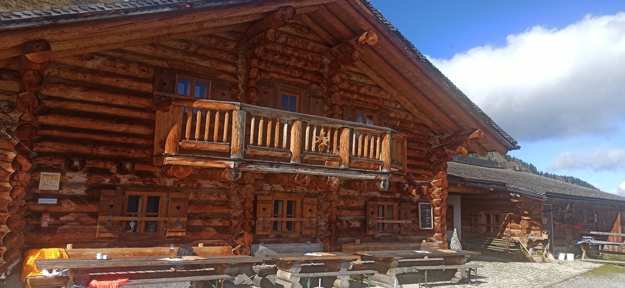
Biberalm
(1.735 m)
Shelter
3,0 km
Gfriet
(1.389 m)
Corridor/terrain
9,0 km
Route
Hubertuskapelle - Biberalm - Gfriet - Dorfgastein
Hiking
14,08
km
Hubertuskapelle
(1.177 m)
Place of worship
0,3 km
S' Woidbründl
(1.453 m)
Source
1,3 km
Ankogelblick
(1.474 m)
Viewpoint
1,6 km
Biberalm
(1.735 m)
Shelter
3,0 km
Gfriet
(1.389 m)
Corridor/terrain
9,0 km
No reviews yet
Popular tours in the neighbourhood
- 4,7
Bahnhof Bad Hofgastein nach Bahnhof Bad Gastein
mediumHiking13,0 km - 5,0
Türchlwand von der Bergstation Schlossalmbahn Bad Hofgastein, Österreich
mediumMountain hiking7,05 km - 4,8
Hüttenkogel - Graukogel von der Bergstation
mediumMountain hiking4,68 km - 4,5
Bergtour vom Kötschachtal zum Naturjuwel Reedsee
mediumHiking12,5 km - 4,8
Gasteiner Höhenweg von Bad Gastein nach Bad Hofgastein
lightHiking8,58 km - 4,8
Grossarl: Mooslehenalm - Igltalalm - Viehhausalm
mediumHiking5,44 km - 4,3
Wasserfall Bad Hofgastein
lightHiking3,89 km - 4,9
Liechtensteinklamm mit Helix
lightThematic route3 km - 4,7
Silberpfennig vom Nassfeld
heavyMountain hiking15,9 km - 3,6
Wanderung zum Bockhartsee - Richtung Sportgastein - stellenweise Trittsicherheit erforderlich
mediumHiking8,10 km
Hiking & Tracking

Over 550.000 tour suggestions, detailed maps and an intuitive route planner make the app a must-have for all nature enthusiasts.

Don't miss out on offers and inspiration for your next holiday
Subscribe to the newsletter
Error
An error has occurred. Please try again.Thank you for your registration
Your e-mail address has been added to the mailing list.
Tours throughout Europe
Austria Switzerland Germany Italy Slovenia France Netherlands Belgium Poland Liechtenstein Czechia Slovakia Spain Croatia Bosnia and Herzegovina Luxembourg Andorra Portugal Iceland United Kingdom Ireland Greece Albania North Macedonia Malta Norway Montenegro Moldova Kosovo Hungary San Marino Romania Estonia Latvia Belarus Cyprus Lithuania Serbia Bulgaria Monaco Denmark Sweden Finland