Untertauern - Felseralm - Bödenalm
medium
Navigate
Navigate
Get this tour on your mobile
Untertauern - Felseralm - Bödenalm
medium
Hiking
5.78
km
Scan the QR code and start navigation in the bergfex app

Hiking & Tracking


Distance
5.78
km
Duration
02:18
h
Ascent
329
m
Sea level
1,510 -
1,953
m
Track download
Untertauern - Felseralm - Bödenalm
medium
Hiking
5.78
km


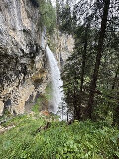
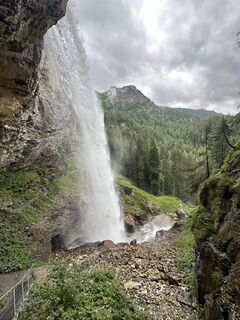
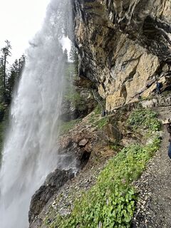
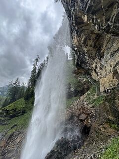
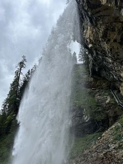
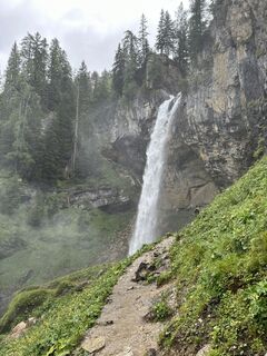
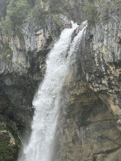
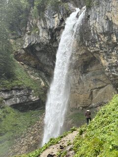
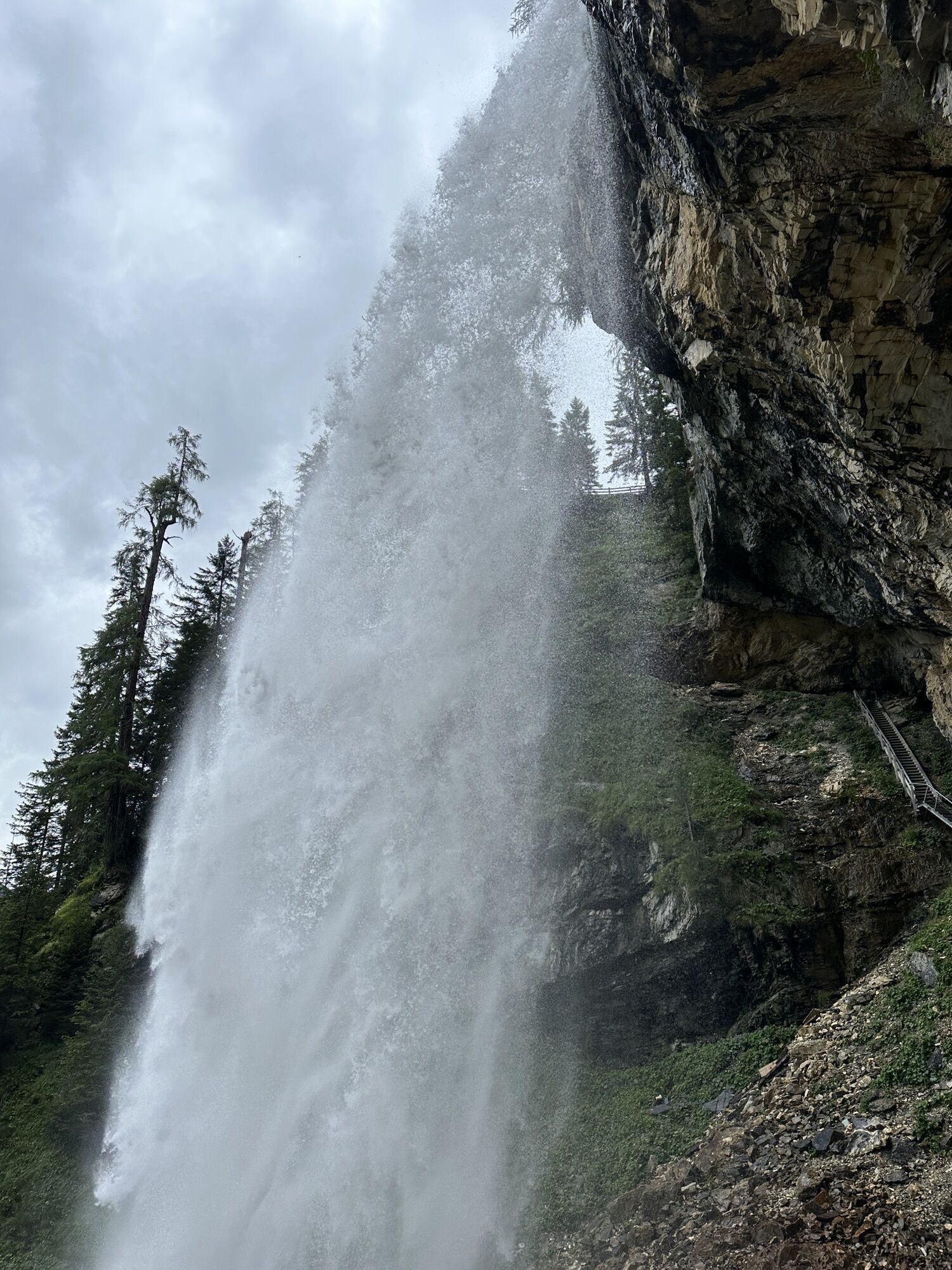
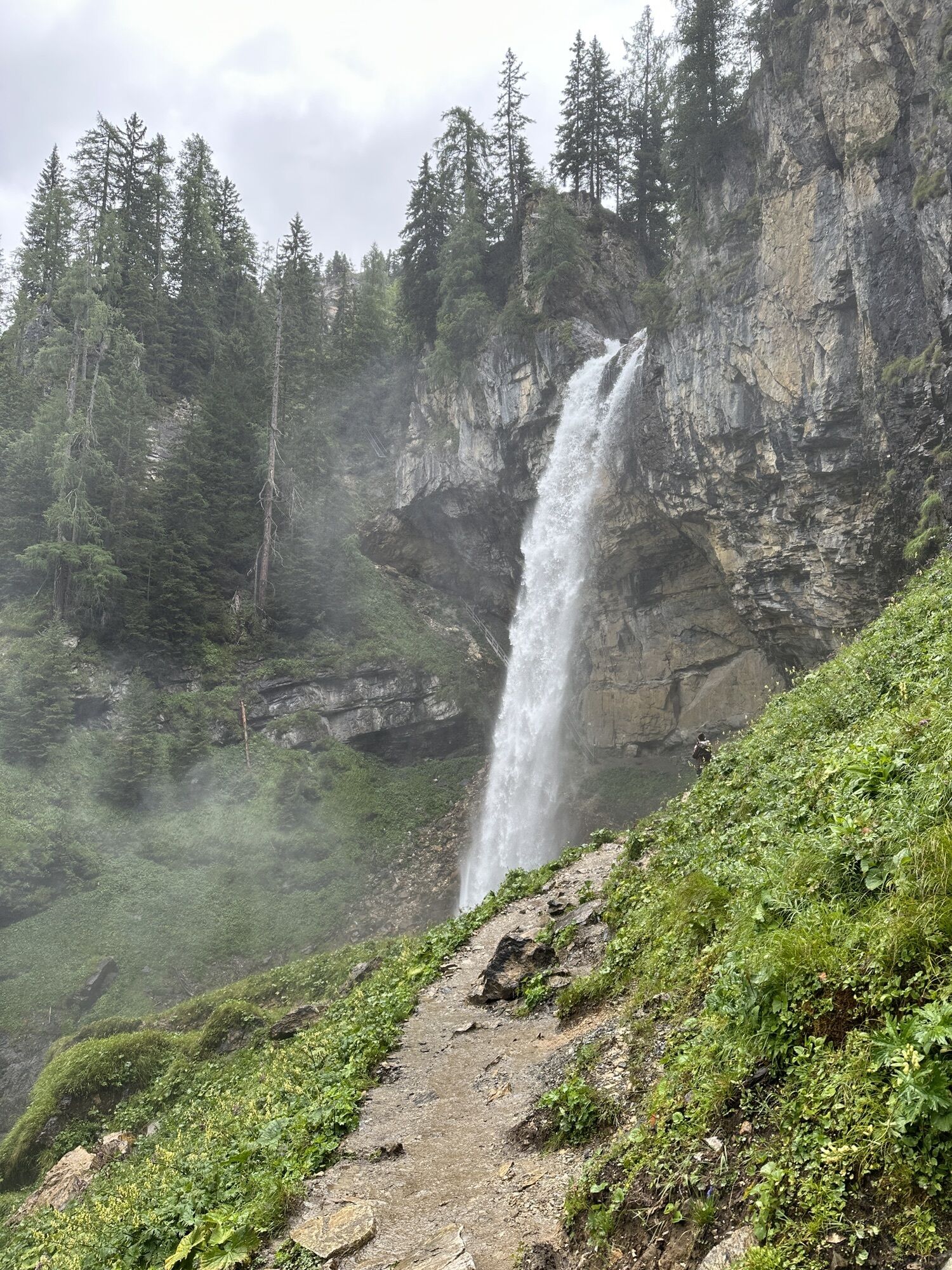
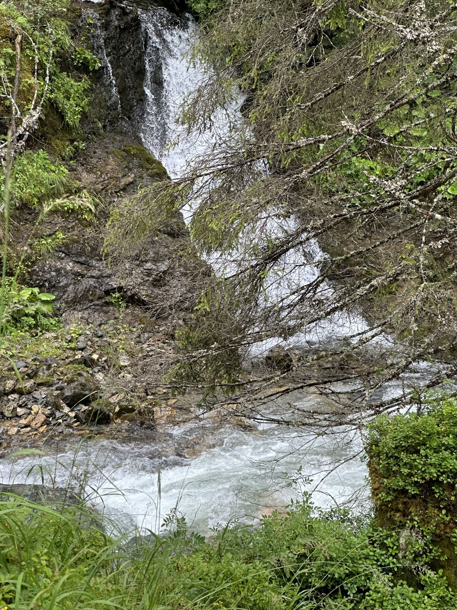
Photos from our users
-
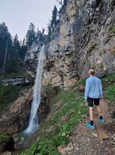
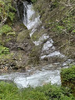
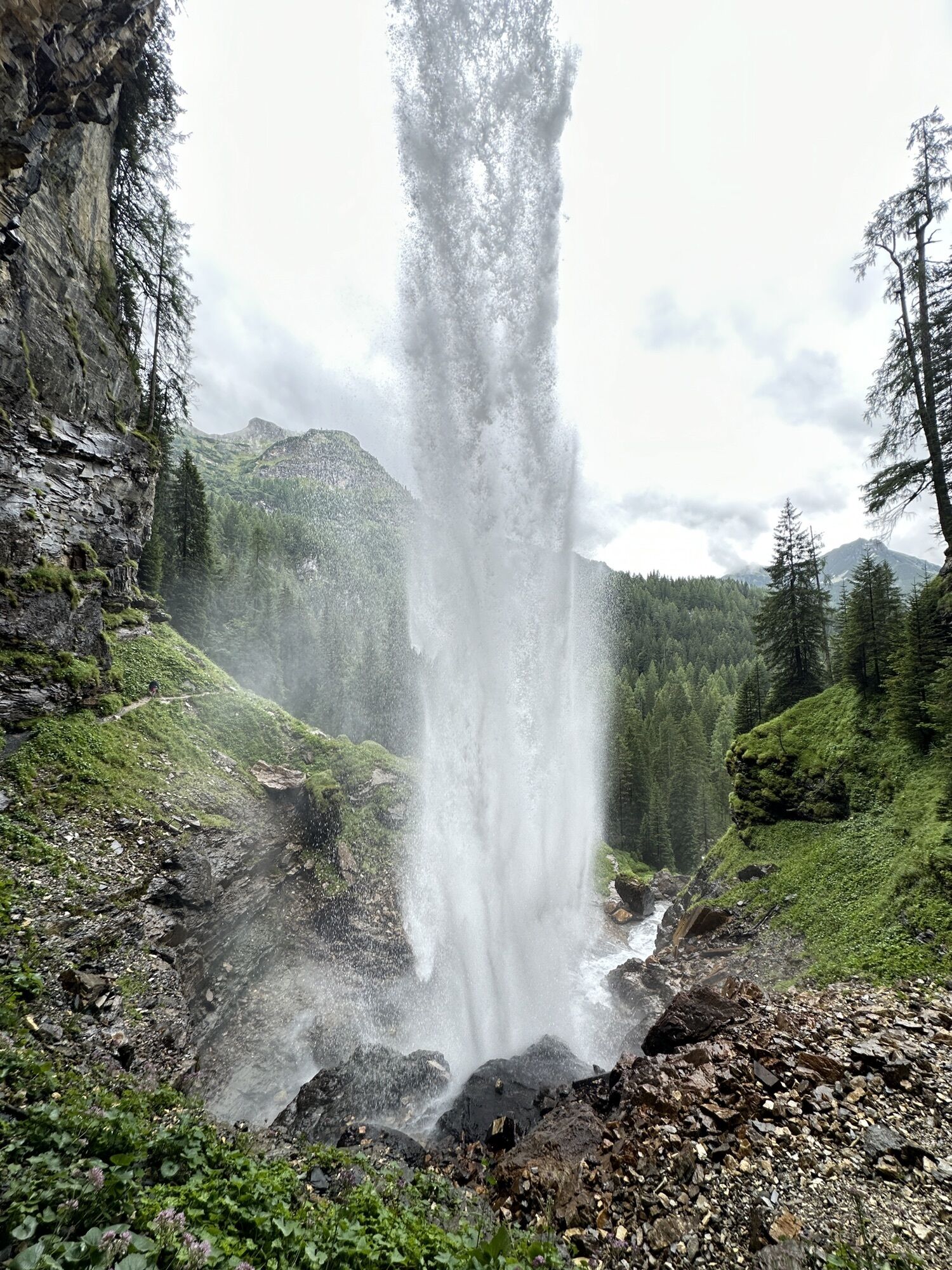
 © Julie FinchCreated on 02.09.2024
 -
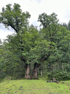
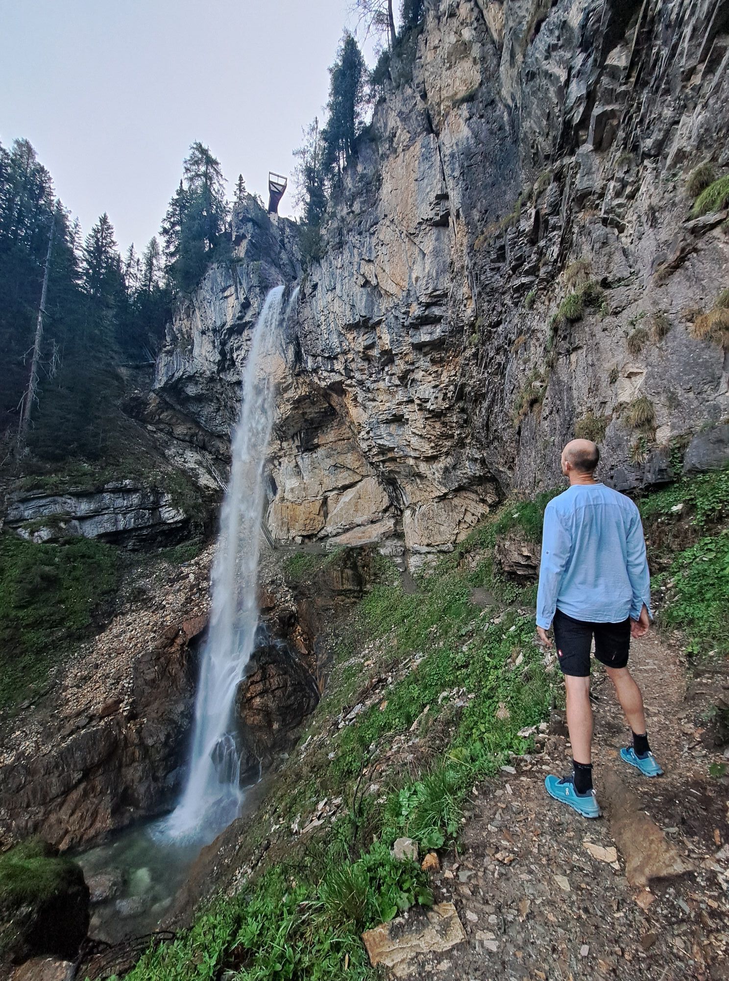
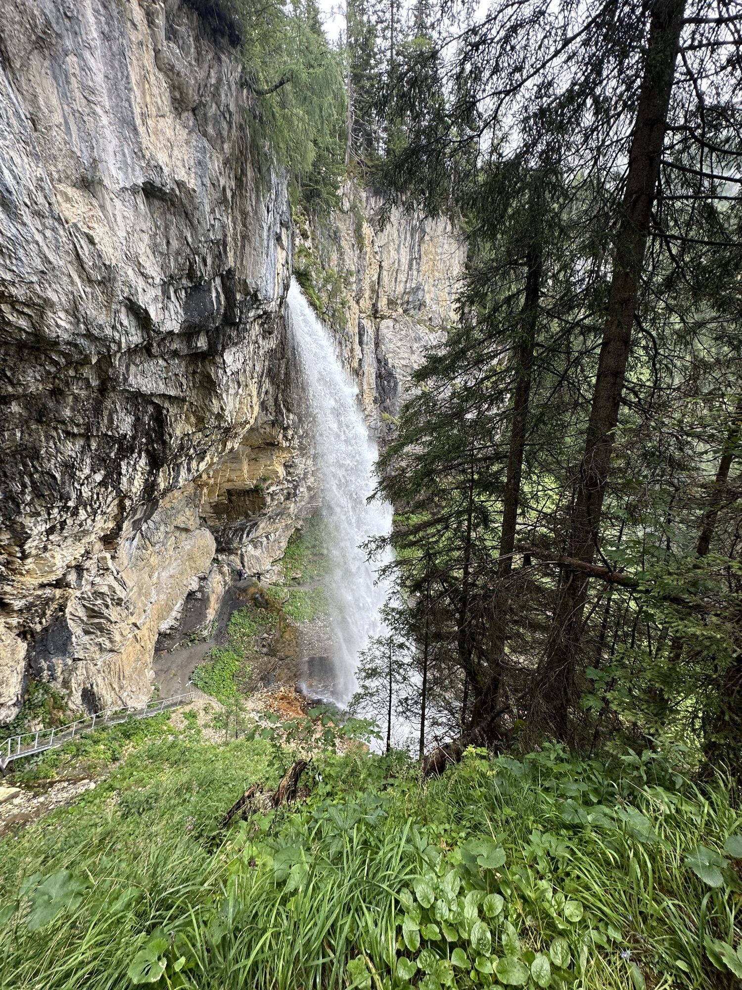
 © Hermann NeustifterCreated on 09.08.2023
 -
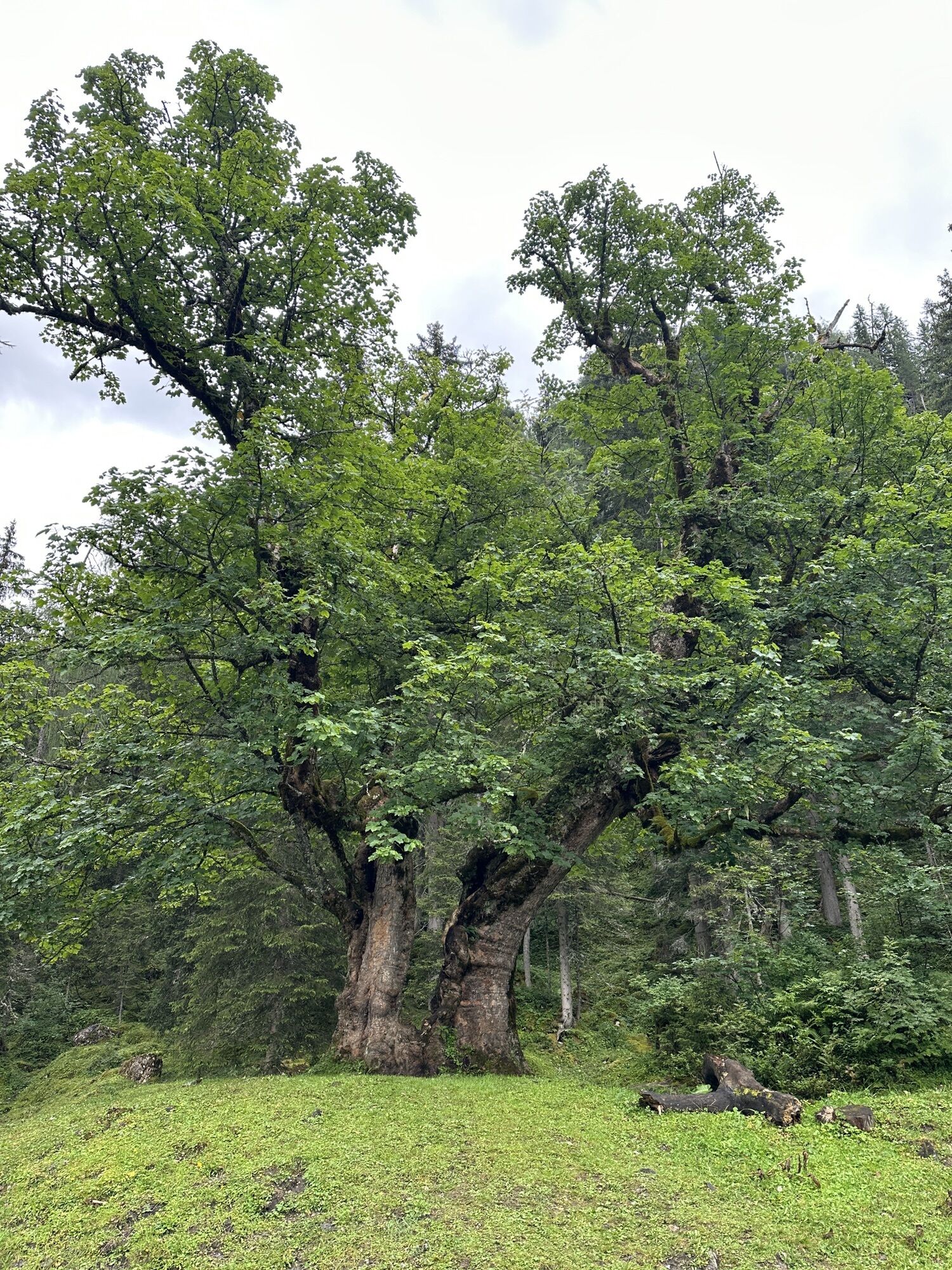
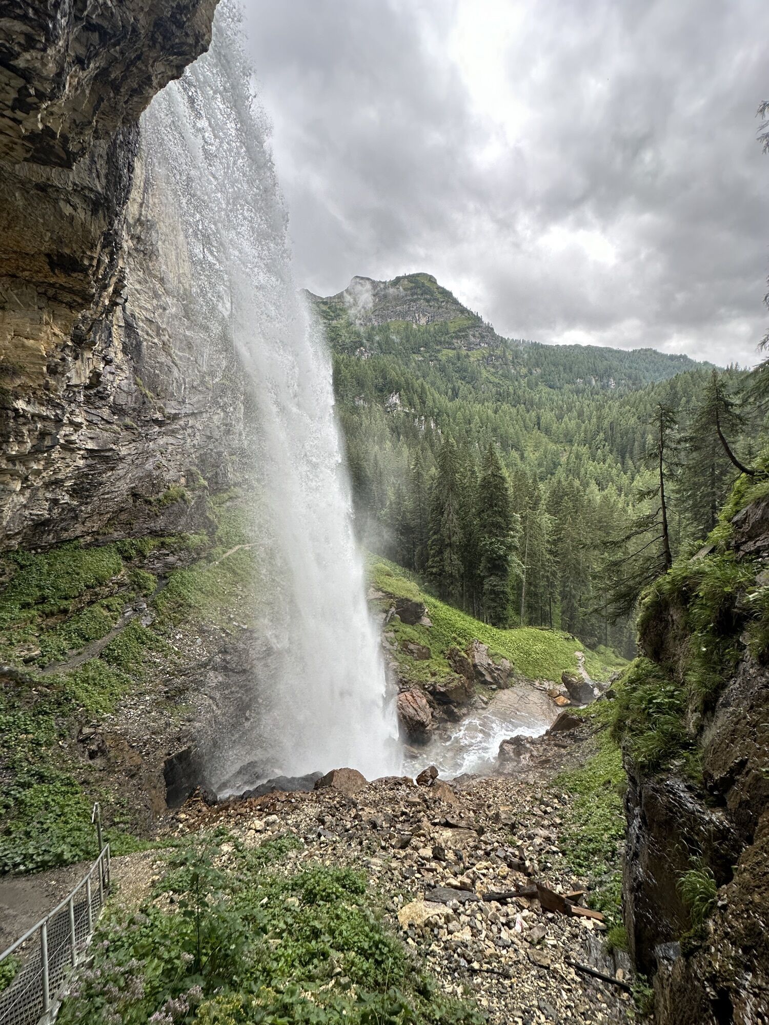
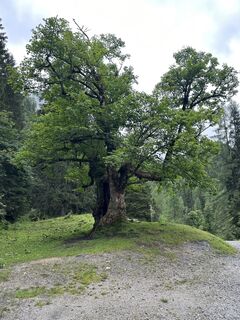 © Hermann NeustifterCreated on 09.08.2023
 -
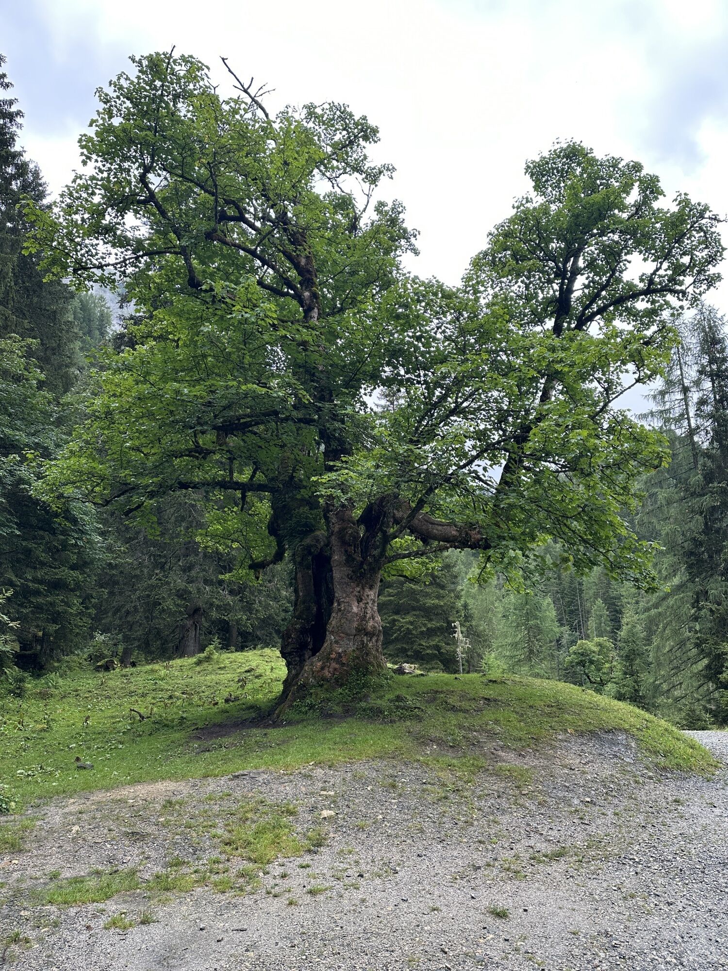
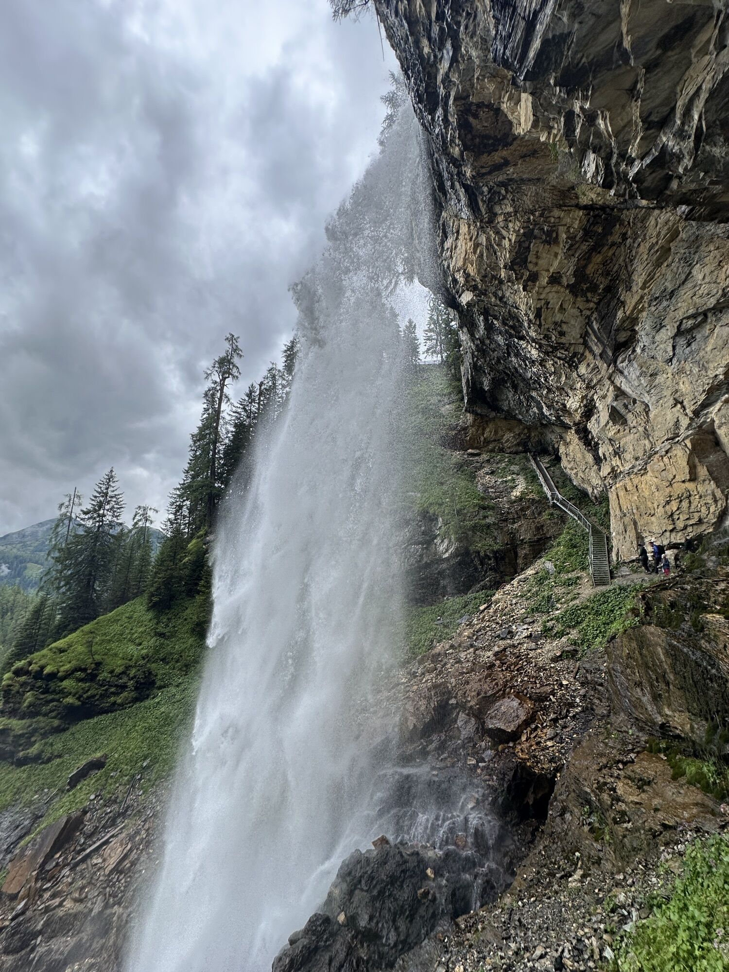
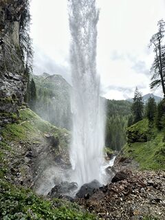 © Hermann NeustifterCreated on 09.08.2023
 -
 © Hermann NeustifterCreated on 09.08.2023
 -
 © Hermann NeustifterCreated on 09.08.2023
 -
 © Hermann NeustifterCreated on 09.08.2023
 -
 © Hermann NeustifterCreated on 09.08.2023
 -
 © Hermann NeustifterCreated on 09.08.2023
 -
 © Hermann NeustifterCreated on 09.08.2023
 -
 © Hermann NeustifterCreated on 09.08.2023
 -
 © Hermann NeustifterCreated on 09.08.2023
 -
 © Hermann NeustifterCreated on 09.08.2023


Route
Felseralm
(1,655 m)
Corridor/terrain
1.2 km
Bödenalm
(1,710 m)
Corridor/terrain
1.8 km
Route
Untertauern - Felseralm - Bödenalm
medium
Hiking
5.78
km
Felseralm
(1,655 m)
Corridor/terrain
1.2 km
Bödenalm
(1,710 m)
Corridor/terrain
1.8 km
Valuations
5
(1)
4
(0)
3
(0)
2
(0)
1
(0)
Webcams of the tour
-
Gnadenalm
-
Sporthotel Snowwhite
-
Hotel Cinderella
-
Sonnenterasse Edelweissalm
-
Hotel Garni Gloria
-
Lürzeralm
-
Sporthotel Edelweiss
-
Hotel Auerhahn - Obertauern
-
Freudenhaus Obertauern
-
Breitlehenalm
-
Obertauern - Haus Petergstamm
-
Obertauern - Almschlössl & Schrotteralm
-
Seekarhaus - Obertauern
-
Seekarhaus - Bergstation Seekarspitzbahn
-
Seekarhaus 3
-
Obertauern - Hundskogel
Popular tours in the neighbourhood
-
4.2
Ursprungquellweg - von der Ursprungalm zu den Giglachseen
lightThematic route 9.63 km -
4.8
Reiteralmrunde
lightHiking 5.71 km -
4.1
Reiteralm Höhen-Rundweg
mediumHiking 5.50 km -
4.7
Mosermandl Windischscharte, Salzburger Land/Österreich
heavyHiking 14.6 km -
4.4
Uralm - Giglachsee
lightHiking 7.70 km -
4.2
Ennskraxn (2410m)
heavyHiking 14.7 km -
4.7
Steirische und Lungauer Kalkspitze über das Kranzl
heavyHiking 10.9 km -
5.0
Rundwanderweg von der Fallhausalm und Vögeialm übers Klamml zur Oberhütte am See
mediumHiking 10 km -
4.5
Ursprungalm - Hochwurzen
mediumHiking 9.37 km -
5.0
Twengsee
mediumHiking 9.66 km
Hiking & Tracking

Over 550.000 tour suggestions, detailed maps and an intuitive route planner make the app a must-have for all nature enthusiasts.

Don't miss out on offers and inspiration for your next holiday
Subscribe to the newsletter
Error
An error has occurred. Please try again.
Thank you for your registration
Your e-mail address has been added to the mailing list.
Tours throughout Europe
Austria
Switzerland
Germany
Italy
Slovenia
France
Netherlands
Belgium
Poland
Liechtenstein
Czechia
Slovakia
Spain
Croatia
Bosnia and Herzegovina
Luxembourg
Andorra
Portugal
Iceland
United Kingdom
Ireland
Greece
Albania
North Macedonia
Malta
Norway
Montenegro
Moldova
Kosovo
Hungary
San Marino
Romania
Estonia
Latvia
Belarus
Cyprus
Lithuania
Serbia
Bulgaria
Monaco
Denmark
Sweden
Finland