


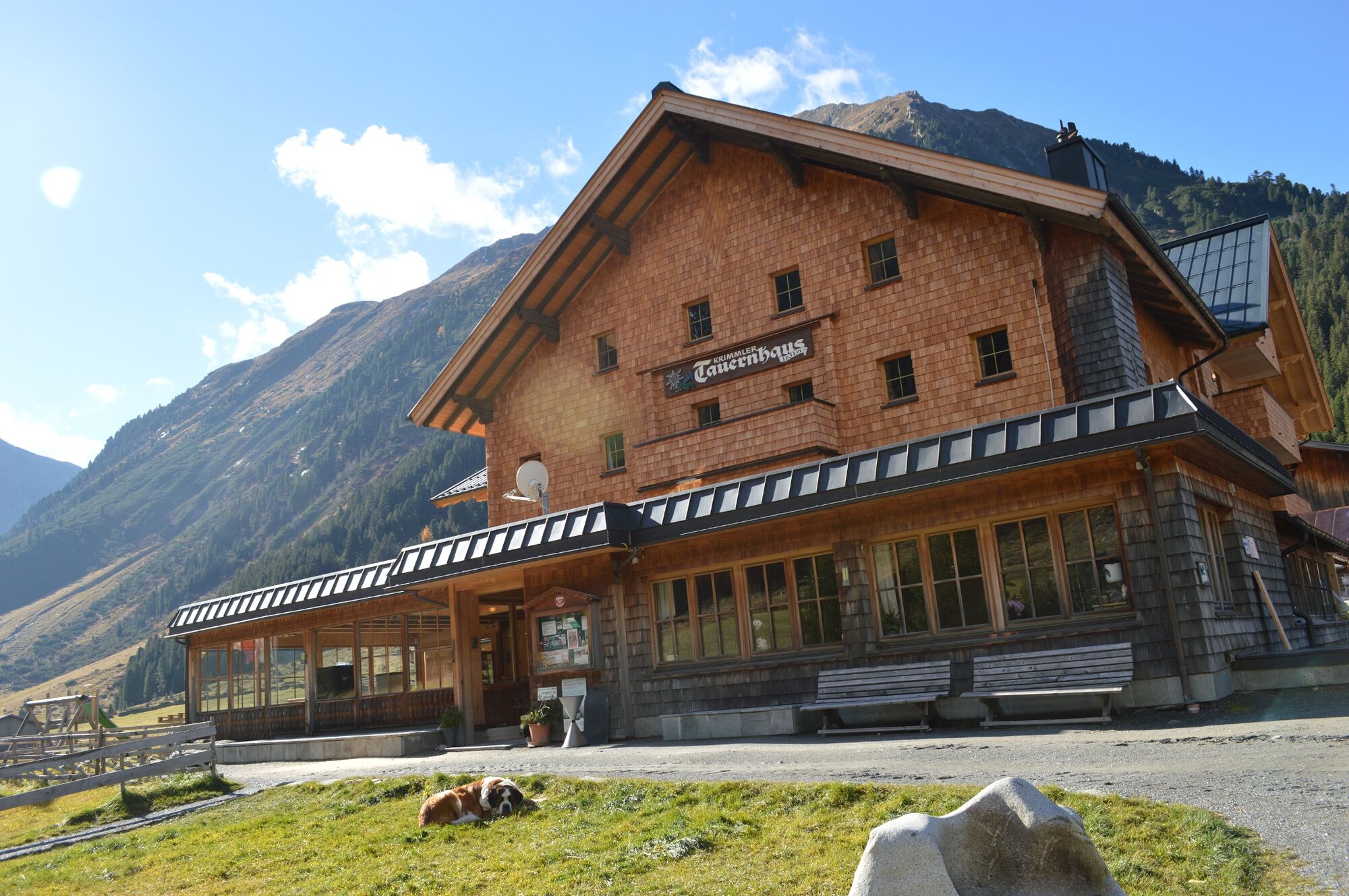
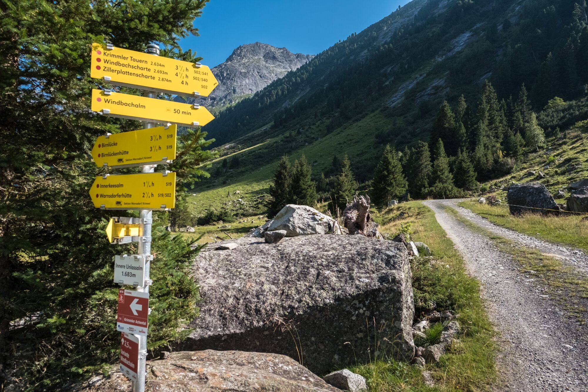
From the Krimmler Tauernhaus, you first hike for approximately a half-hour along the country lane leading into the valley. Close to the Ausserunlass Alm, the hiking path branches off into Windbachtal,...
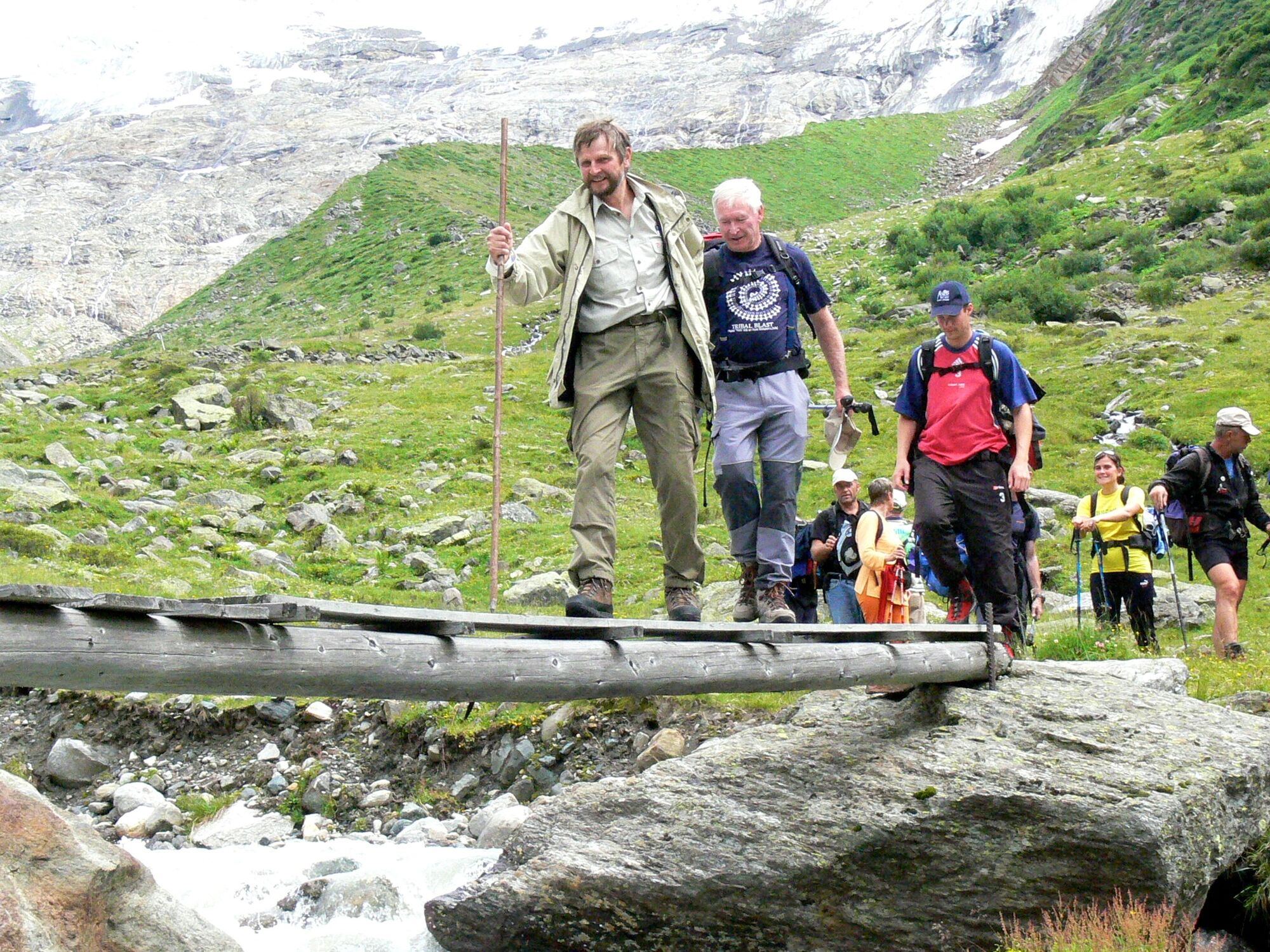
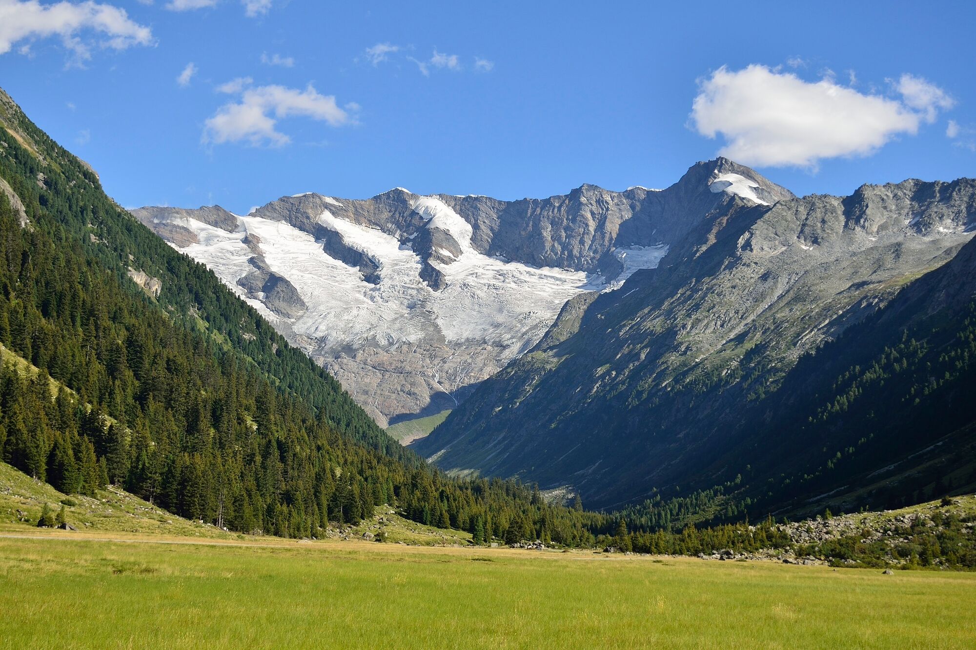
From the Krimmler Tauernhaus, you first hike for approximately a half-hour along the country lane leading into the valley. Close to the Ausserunlass Alm, the hiking path branches off into Windbachtal, a side valley of the Krimmler Achental. Initially, you will make your way steeply uphill through a beautiful pine forest. In the area of the Windbachalm, you will finally be treated to a good view of the U-shaped, glacier-sculpted valley. Here, you will walk to the valley head of the Windbachtal, then hike up to the Krimmler Tauern. At this point, you cross into Italy. On the southern flank, the trail drops steeply downhill. On the way down, you will have the opportunity to take a refreshment break at the Untertauernalpe. Once back on the valley floor, you will again pass a number of huts before finally coming to the small town of Kasern.


Weg Nr.: 502, 541
Krimmler Tauernhaus - rechts über das Windbachtal - Krimmler Tauern - alte Zollhütte - bergab ins Ahrntal - Ort Kasern
Sturdy hiking shoes, weatherproof clothing, a drinks bottle, hiking poles are recommended.
Surefootedness and condition are a must.
If you are coming from Tyrol, use the Gerlos Alpenstrasse. Coming from the east, travel in on the B165 via Mittersill.
By bus to the stops “Krimml Ort” or “Krimmler Wasserfälle”.
A low-cost long-term parking is located in Krimml place.
Krimmler Tauernhaus: Tel.: +43 (0)6564/21200 oder www.krimmler-tauernhaus.at
Tourismusverband Krimml/Hochkrimml: Tel.: +43 (0)6564/7239-0 oder www.krimml.at
The Krimmler Tauernhaus serves dishes of beef and wild game from their own farm/hunting grounds.
You do have the option of taking the National Park Taxi to the Krimmler Tauernhaus. Reservations are required.
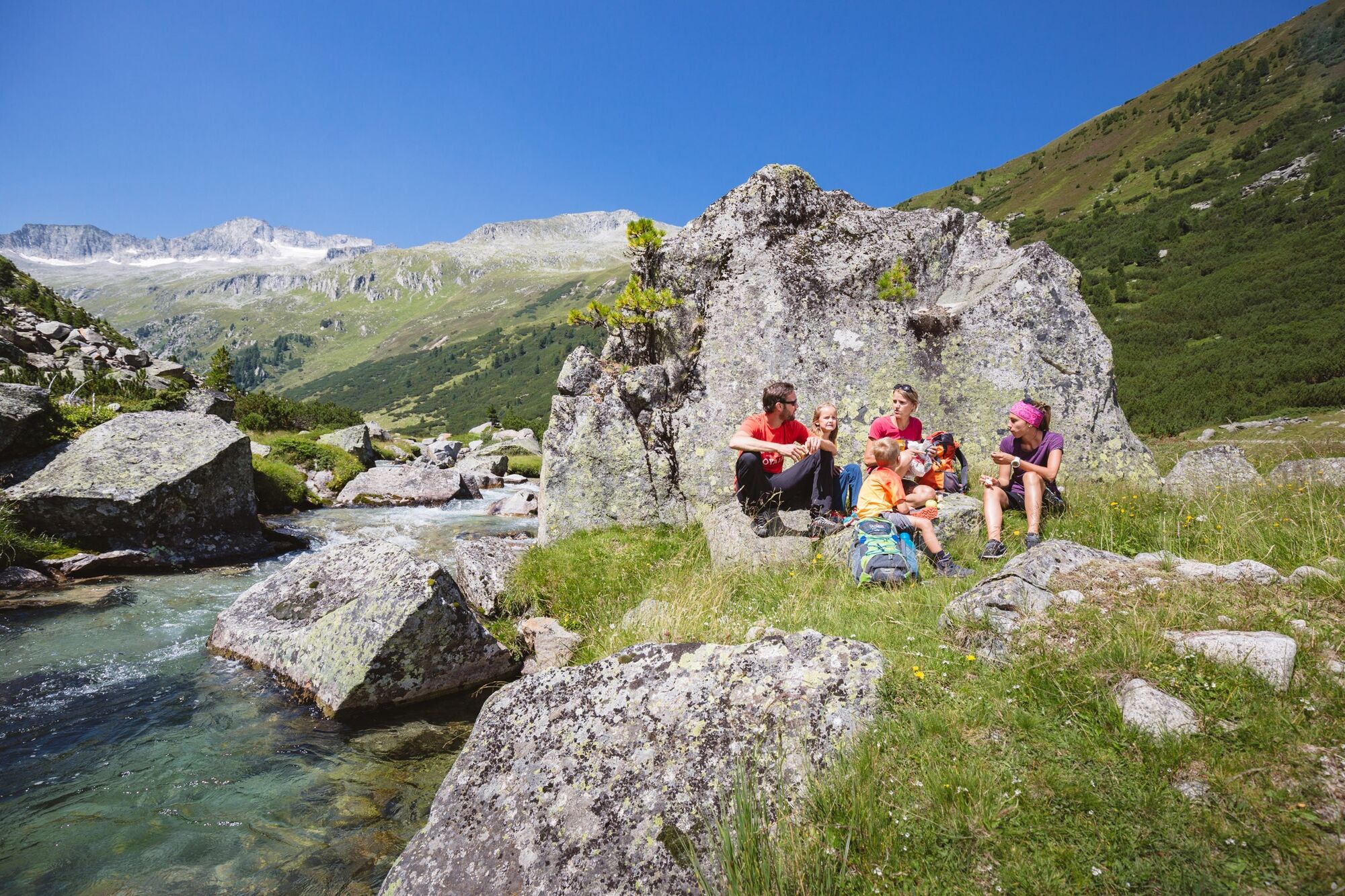
No refreshment stop at the Wildbachalm.
Popular tours in the neighbourhood
-
4.7
Krimmlerwasserfälle
mediumHiking 10.5 km -
4.7
Der Krimmler Wasserfallweg
mediumHiking 7.19 km -
4.4
Untere Wasserälle Krimml Krimml, Österreich
lightHiking 5.04 km -
4.9
Oberhausalm - Jagdhaushütte
lightHiking 14.0 km -
4.7
Zittauer Hütte - Start von Finkau
mediumHiking 6.64 km -
4.5
Krimml Waterfalls
mediumHiking 12.4 km -
4.8
Wanderung zu den Umballfällen
lightHiking 6.73 km -
4.7
Krimmler Wasserfälle bis zur Hölzlahneralm
mediumHiking 12.3 km -
4.0
Prägraten - Johannishütte - Defreggerhütte
mediumHiking 9.20 km -
5.0
MTB Krimml - Kr. Achental - Krimmler Tauernhaus - Außerkeesalm
lightMountainbike 45 km
Hiking & Tracking


Don't miss out on offers and inspiration for your next holiday
Your e-mail address has been added to the mailing list.