SA 11 | Steinernes Meer Tour
medium
Cycling 3.3
Navigate
Navigate
Get this tour on your mobile
Map
SA 11 | Steinernes Meer Tour
medium
Cycling
29.34 km
Scan the QR code and start navigation in the bergfex app
QR Code
Hiking & Tracking
Hiking & Tracking
Download for iOS
Download for Android

SA 11 | Steinernes Meer Tour

medium
Cycling 3,3
Distance
29.34 km
Duration
03:34 h
Ascent
1,009 m
Sea level
739 - 1,283 m
Track download
Map
SA 11 | Steinernes Meer Tour
medium
Cycling
29.34 km

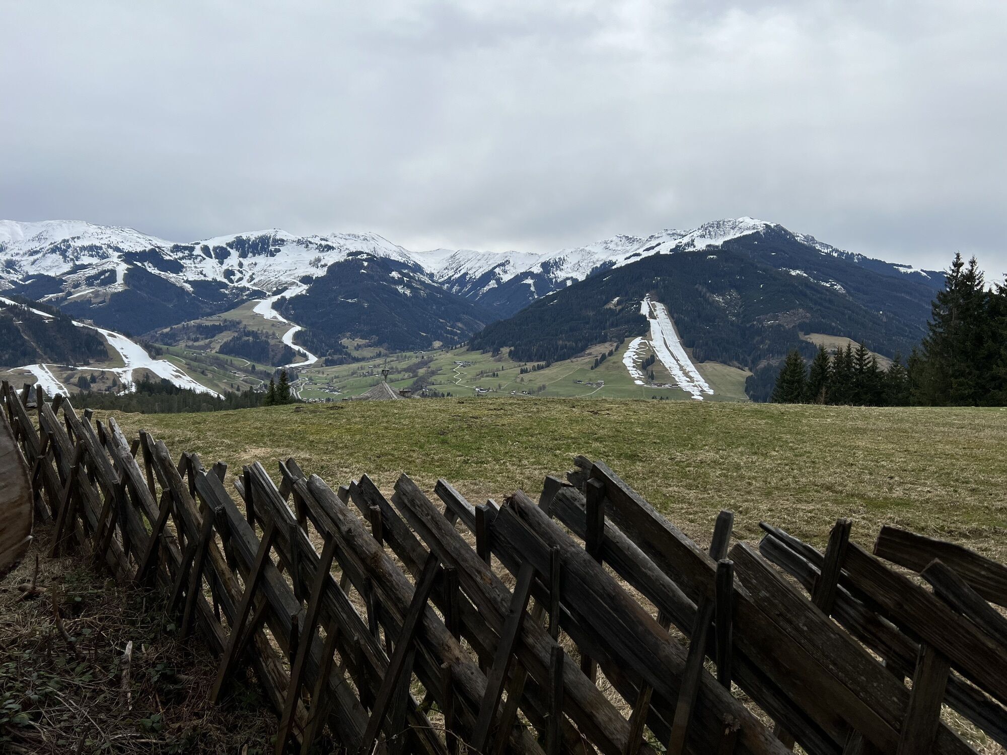
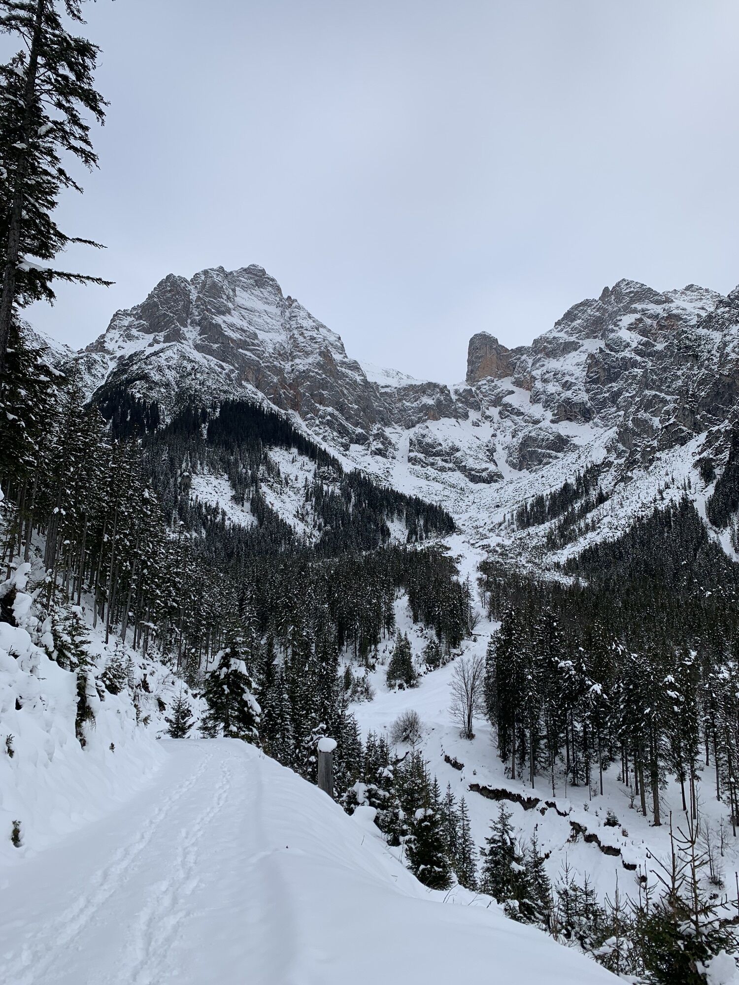
On this E-MTB tour you get really close to the Steinernes Meer - impressive!


Route
Stadtpfarrkirche Saalfelden
(748 m)
Place of worship
0.2 km
Riemannshöhe
(1,196 m)
Corridor/terrain
5.2 km
Enterwinkl
(839 m)
Settlement
14.0 km
Sonnberg
(1,051 m)
Corridor/terrain
18.2 km
Wallfahrtskirche Maria Alm
(802 m)
Place of worship
23.6 km
Kapelle
(816 m)
Place of worship
24.4 km
Feichtenkapelle
(781 m)
Place of worship
27.4 km
Route
Map
SA 11 | Steinernes Meer Tour
medium
Cycling
29.34 km
Saalfelden am Steinernen Meer
(748 m)
City
0.1 km
Stadtpfarrkirche Saalfelden
(748 m)
Place of worship
0.2 km
Georgskapelle
(748 m)
Place of worship
0.3 km
Obsmarkt
(773 m)
Village
1.4 km
Riemannshöhe
(1,196 m)
Corridor/terrain
5.2 km
Hochreitshöhe
(1,103 m)
Viewpoint
9.0 km
Gasthof Kronreith
(990 m)
Restaurant
10.1 km
Griesbachwinkl
(850 m)
Corridor/terrain
12.2 km
Gasthaus Waldhaus
(833 m)
Restaurant
13.9 km
Enterwinkl
(839 m)
Settlement
14.0 km
Jufenalm
(1,105 m)
Restaurant
16.3 km
Sonnberg
(1,051 m)
Corridor/terrain
18.2 km
Schlosspielplatz
(1,150 m)
Playground
19.0 km
Grammlergut
(1,145 m)
Restaurant
19.0 km
Raum der Stille
(801 m)
Place of worship
23.5 km
Maria Alm am Steinernen Meer
(798 m)
Village
23.6 km
Wallfahrtskirche Maria Alm
(802 m)
Place of worship
23.6 km
Kapelle
(816 m)
Place of worship
24.4 km
Schinking
(817 m)
Settlement
25.0 km
Theurerhof
(783 m)
Restaurant
26.3 km
Ramseiden
(779 m)
Village
27.3 km
Feichtenkapelle
(781 m)
Place of worship
27.4 km
Saalfelden am Steinernen Meer
(748 m)
City
29.0 km
Description of the

 E-MTB tour with an unforgettable view of the Steinerne Meer!

Technology
n.a.
Condition
3 / 6
Landscape
4 / 6
Experience
4 / 6
Share tour
Map
SA 11 | Steinernes Meer Tour
medium
Cycling
29.34 km
Error
An error has occurred. Please try again.
Route information
Route

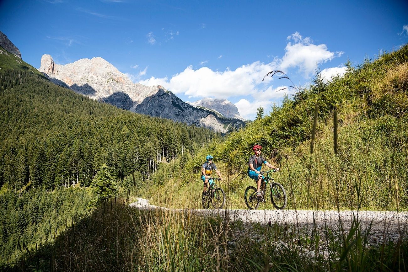
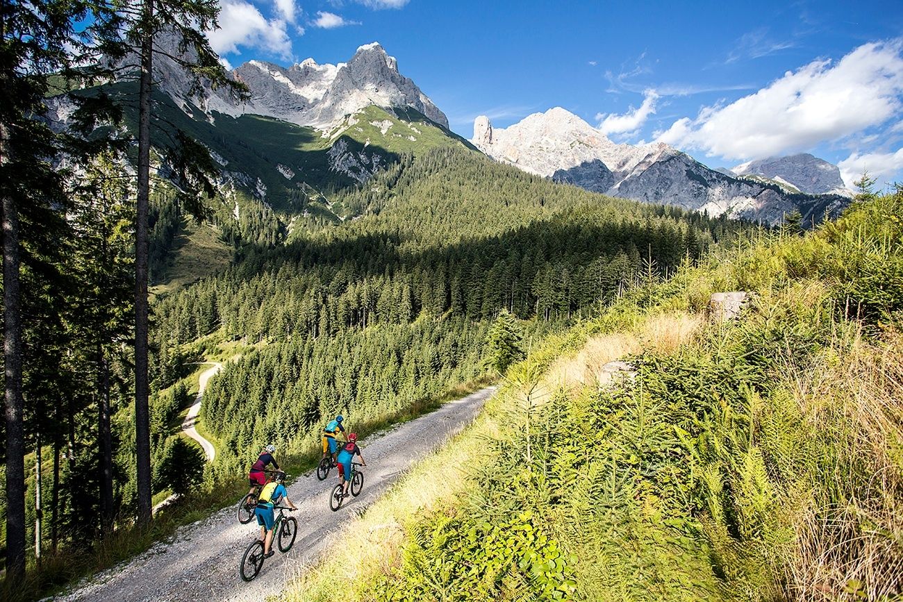
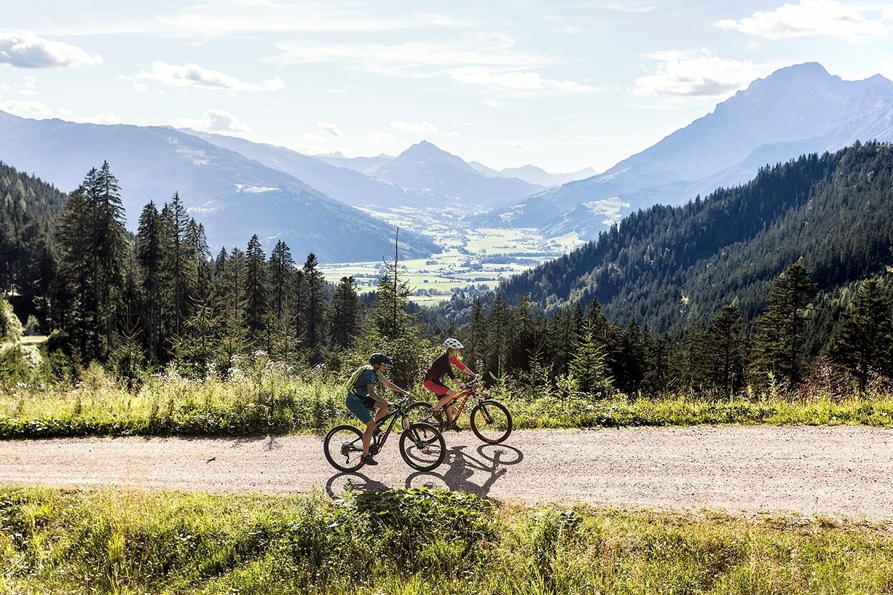
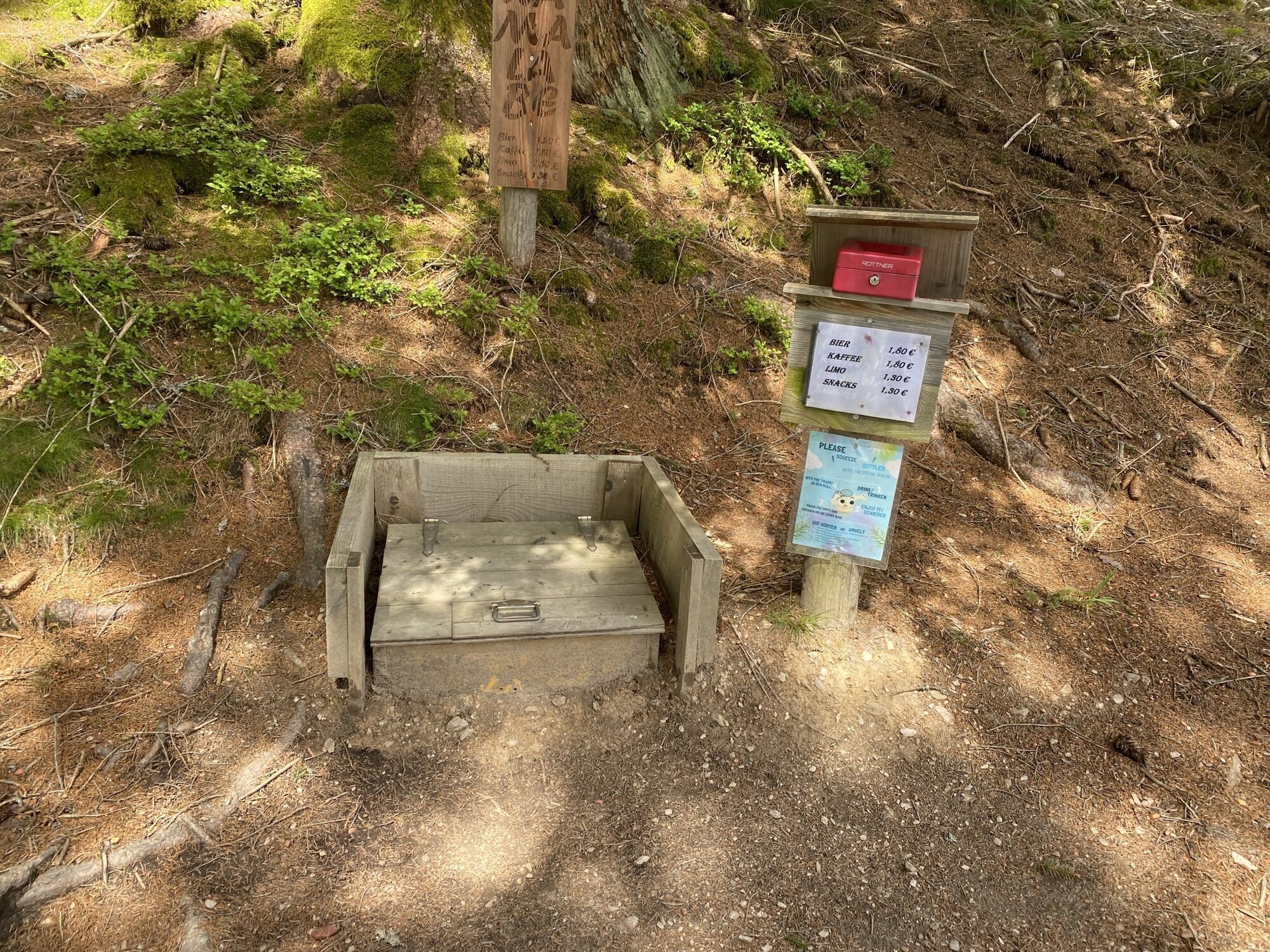
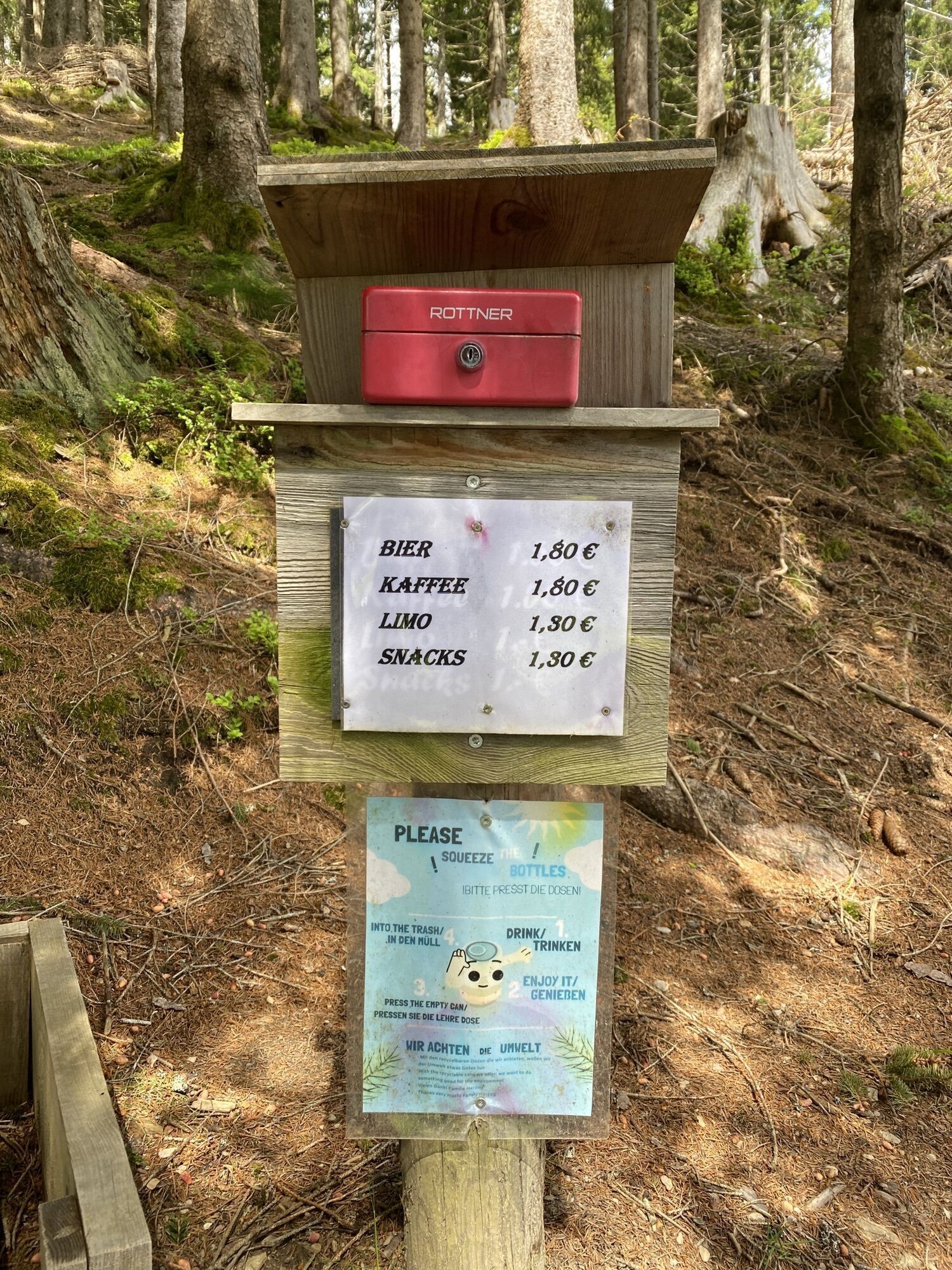
Form the center of Saalfelden you cycle uphill in the so-called Bürgerau. There you follow the forest road to the Bürgerberg where you get really close to the Steinernes Meer plateau. After reaching the highest point, it goes downhill towards Gasthof Kronreith (rest point) and from there back towards Maria Alm. There you cycle along the Krallerwinkl and branch off towards Jufenalm. After a rest on the alpine pasture, you ride back over the bike path on Natrun. The descent from Natrun can either be taken on the road or via the Single Trail Flow-One Trail. Arrived in the valley, the tour goes comfortably along the golf course back to Saalfelden. 

Safety instructions

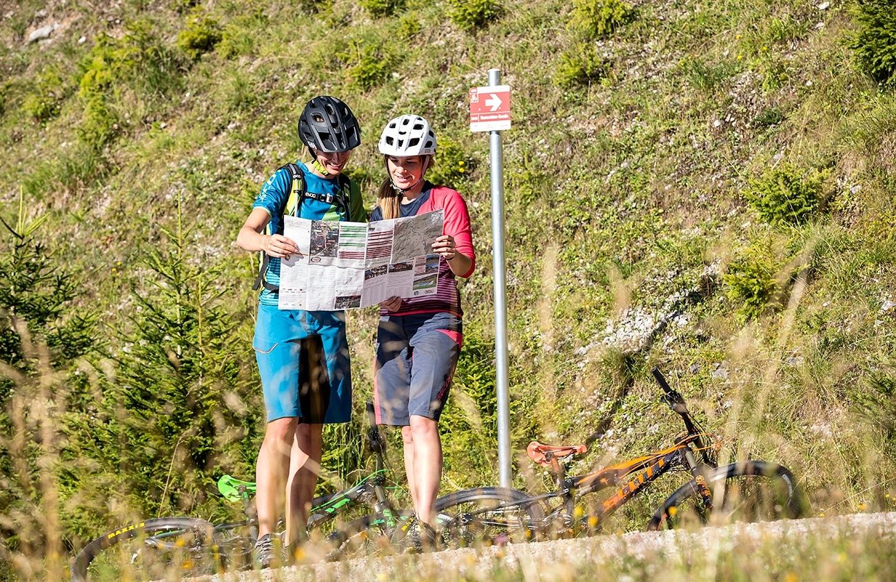
Ab und an werden Holzarbeiten auf / neben der Strecke durchgeführt. Sicherheitshinweise bitte wahrnehmen und gegebenenfalls mit den vor Ort arbeitenden Arbeitskräften abstimmen.

Arrival information
Public transport
BY TRAIN

Take the train and start to enjoy your vacation as soon as you leave home. Relax and enjoy the view as you travel to Saalfelden Leogang with no traffic to slow you down. Visit the website of the Austrian railway (ÖBB) for schedules and tickets to Saalfelden station: www.oebb.at (route to the starting point approx. 5 minutes)

Valuations
3.3
5
(1)
4
(1)
3
(0)
2
(0)
1
(1)
5
(1)
4
(1)
3
(0)
2
(0)
1
(1)
Write a review

Reviews help other users choose their next adventure. Please only rate the tour, not the weather or your snack.

Select one of the stars to rate the tour
Bad tour
Weak tour
Mediocre tour
Good tour
Excellent tour
bergfex logoGet the insightAlways live on site with over 9,500 webcams. As a Pro user, you can now see the corresponding webcams for many tours in the tours app from bergfex. This allows you to view the current conditions directly.
Hiking & Tracking

Hiking & Tracking

download for iOSdownload for Android
Hiking & Tracking
Over 550.000 tour suggestions, detailed maps and an intuitive route planner make the app a must-have for all nature enthusiasts.
Hiking & Tracking