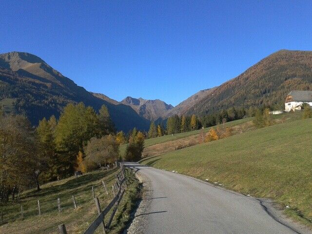
Lauf- und Walking Strecke Lassach - Variante 1
light
Navigate
Navigate
Get this tour on your mobile
Lauf- und Walking Strecke Lassach - Variante 1
light
Running
4,35
km
Scan the QR code and start navigation in the bergfex app

Hiking & Tracking


Distance
4,35
km
Duration
01:30
h
Ascent
153
m
Sea level
1.170 -
1.327
m
Track download
Lauf- und Walking Strecke Lassach - Variante 1
light
Running
4,35
km


Route
Pfarrkirche hl. Paulus
(1.197 m)
Place of worship
0,0 km
Larakapelle
(1.178 m)
Place of worship
0,4 km
Pfarrkirche hl. Paulus
(1.197 m)
Place of worship
4,3 km
Route
Lauf- und Walking Strecke Lassach - Variante 1
light
Running
4,35
km
Pfarrkirche hl. Paulus
(1.197 m)
Place of worship
0,0 km
Lessach
(1.174 m)
Village
0,1 km
Unterdorf
(1.175 m)
Neighbourhood
0,3 km
Larakapelle
(1.178 m)
Place of worship
0,4 km
Pfarrkirche hl. Paulus
(1.197 m)
Place of worship
4,3 km
Oberdorf
(1.194 m)
Neighbourhood
4,3 km
No reviews yet
Popular tours in the neighbourhood
- 4,1
Königstour Klafferkessel
heavyHiking21,3 km - 5,0
„Top of Niedere Tauern“- 2 tages Tour - Wilde Wasser - Greifenberg 2618m - Hochgolling 2862m
mediumHiking35,5 km - 5,0
Hoch hinaus auf den "Greifenberg 2615m" - Rundwanderweg
mediumHiking20,4 km - 4,7
Mariapfarr: Landwierseehütte
mediumHiking8,20 km - 4,8
Gollinghütte - Klafferkessel - Preintalerhütte und Waldhornalm | Schladminger Tauern Höhenweg: Etappe 04
heavyThematic route8,06 km - 4,4
Rundwanderung Neualm - Duisitzkarsee
mediumHiking8,24 km - 5,0
Prebersee und Halterhütte
mediumHiking8,20 km - 4,0
Lignitzsee
mediumHiking17,2 km - 5,0
Preber Wanderung
lightHiking12,3 km - 5,0
"Hochgolling 2862m" - Top of Schladminger Tauern
mediumHiking19,0 km
Hiking & Tracking

Over 550.000 tour suggestions, detailed maps and an intuitive route planner make the app a must-have for all nature enthusiasts.

Don't miss out on offers and inspiration for your next holiday
Subscribe to the newsletter
Error
An error has occurred. Please try again.Thank you for your registration
Your e-mail address has been added to the mailing list.
Tours throughout Europe
Austria Switzerland Germany Italy Slovenia France Netherlands Belgium Poland Liechtenstein Czechia Slovakia Spain Croatia Bosnia and Herzegovina Luxembourg Andorra Portugal Iceland United Kingdom Ireland Greece Albania North Macedonia Malta Norway Montenegro Moldova Kosovo Hungary San Marino Romania Estonia Latvia Belarus Cyprus Lithuania Serbia Bulgaria Monaco Denmark Sweden Finland