


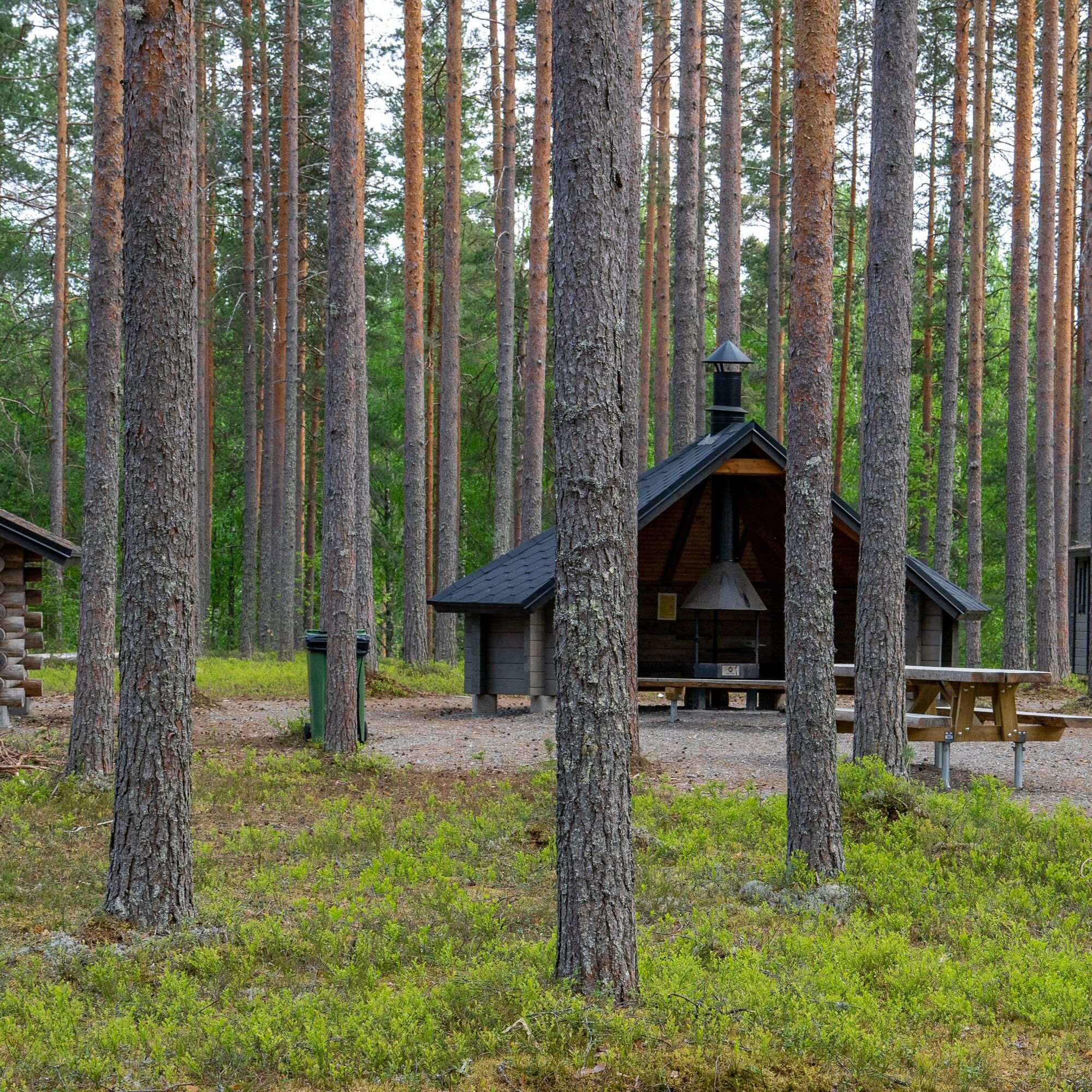
The accessible route, marked in green and progressing on flat heathland, is suitable for all walkers. The 1.4 km circular route begins in the yard of the Lykynlampi outdoor lodge. The accessible shelter...
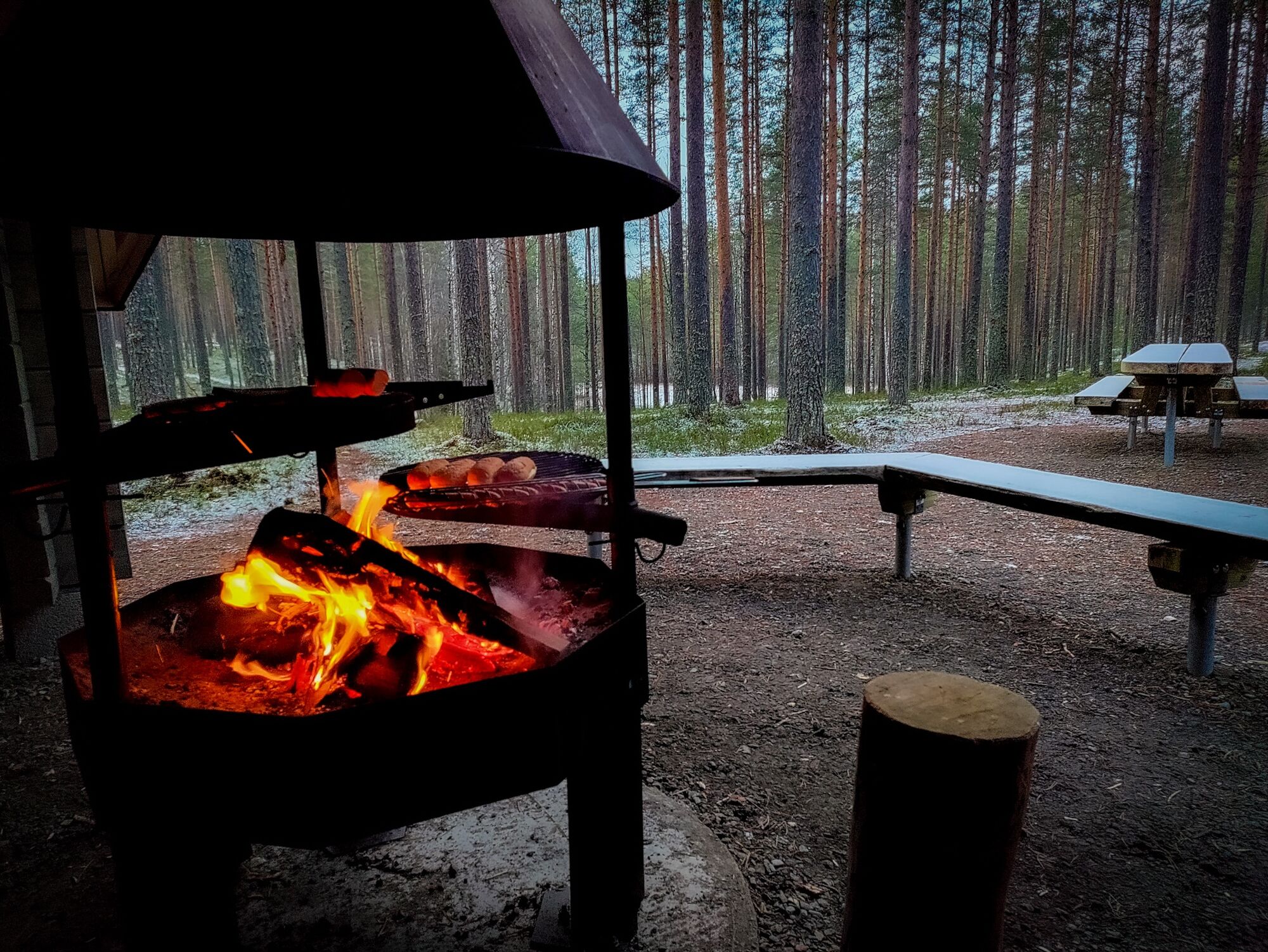
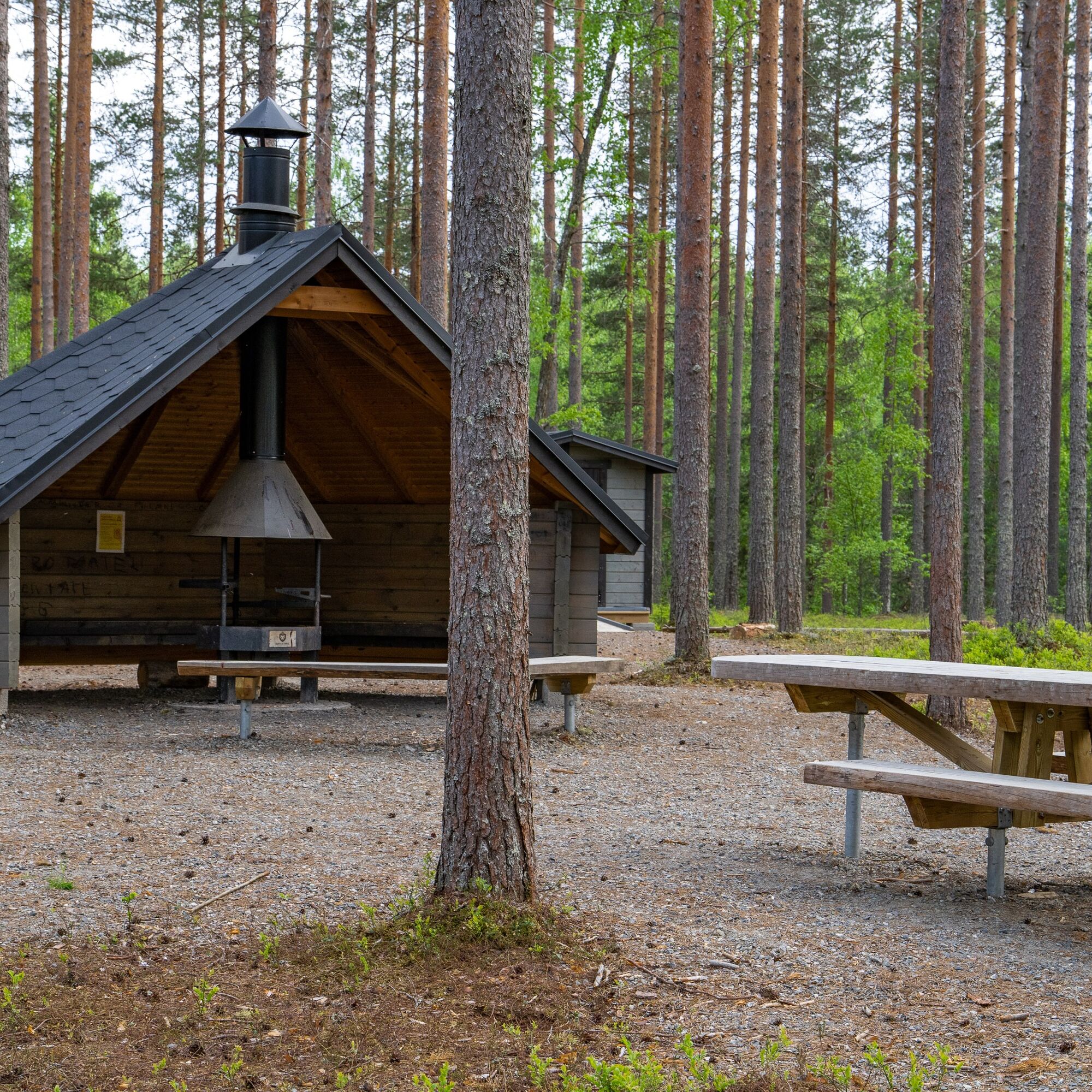
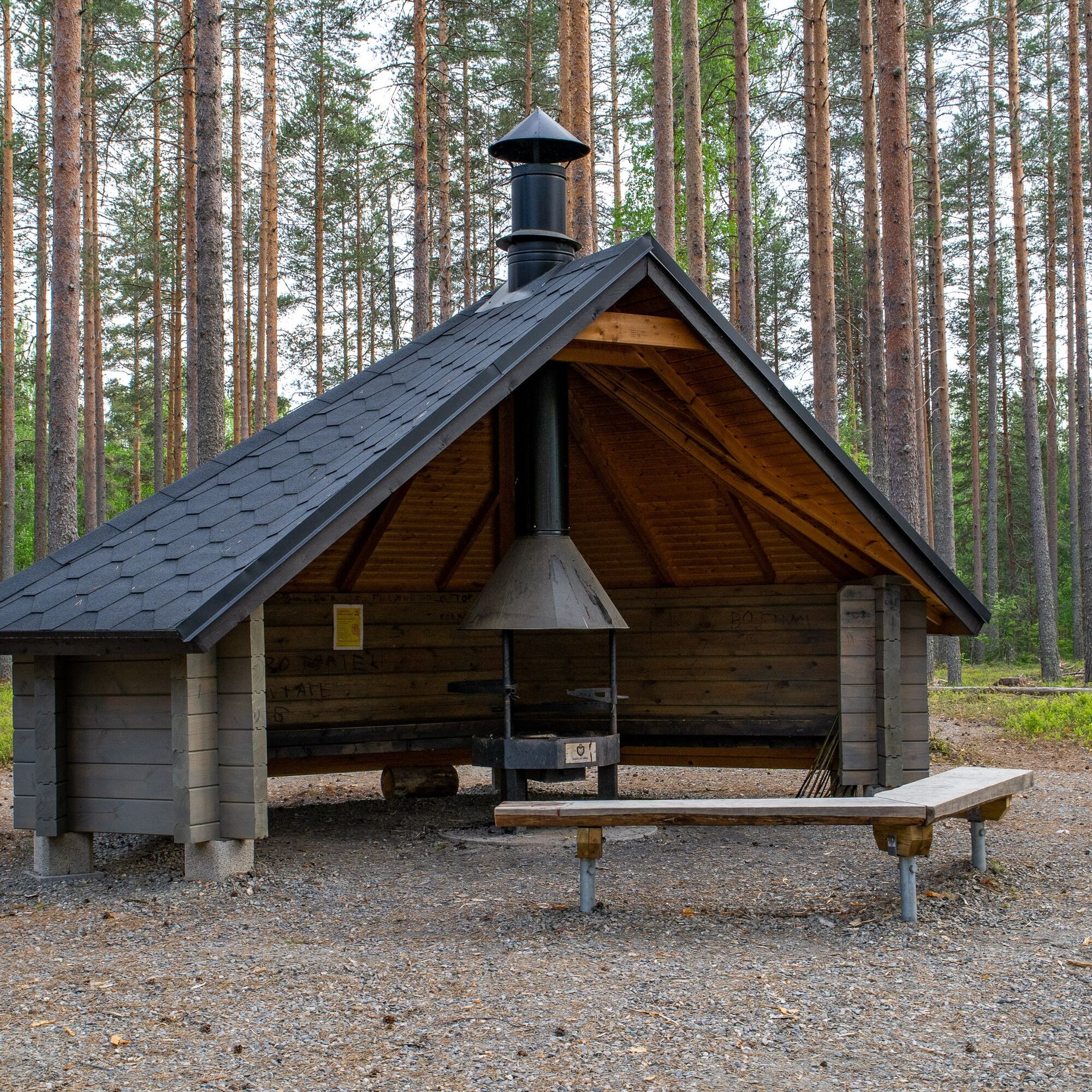
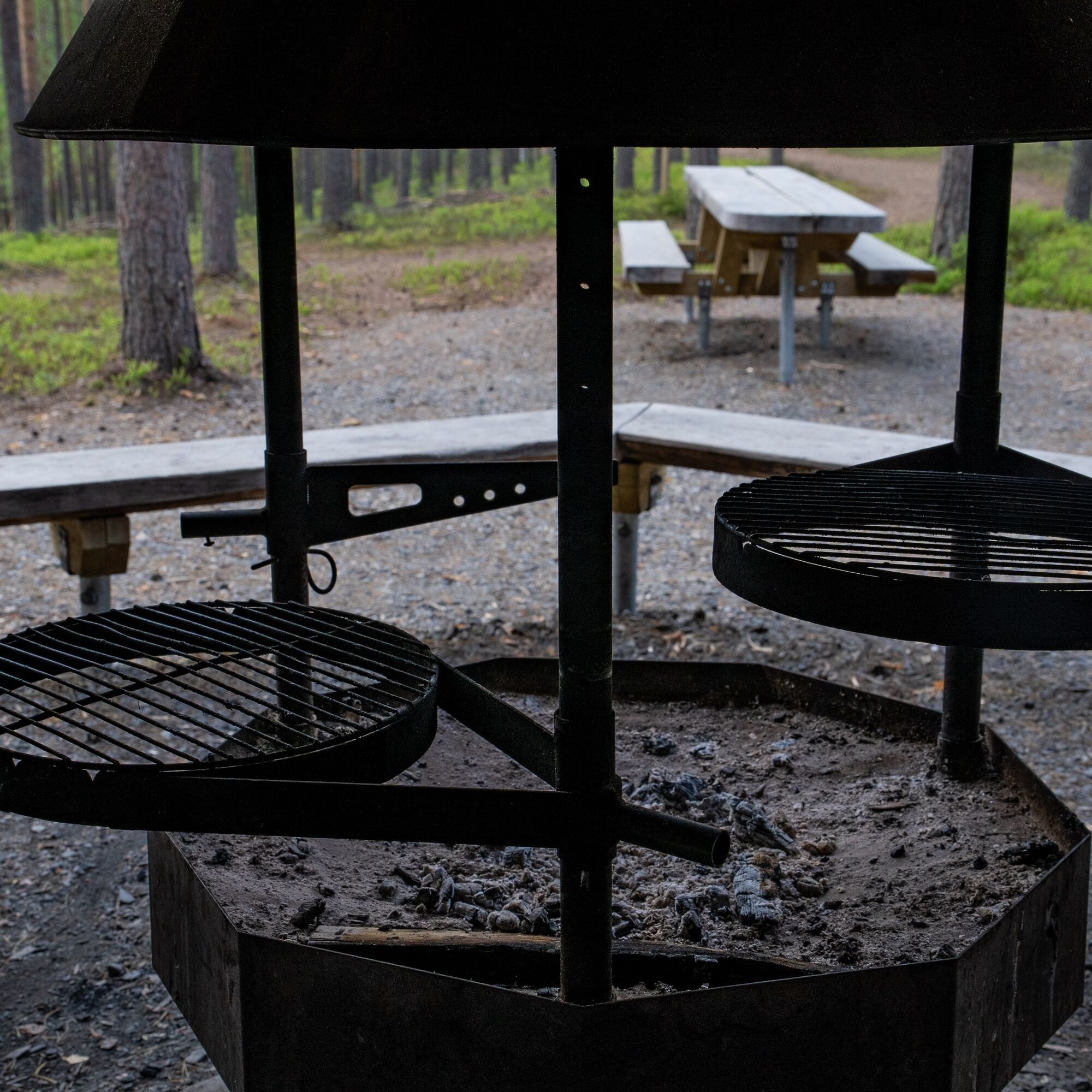
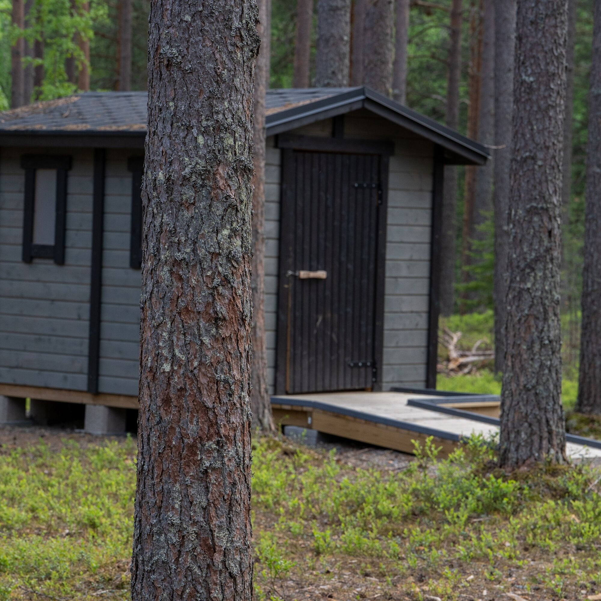
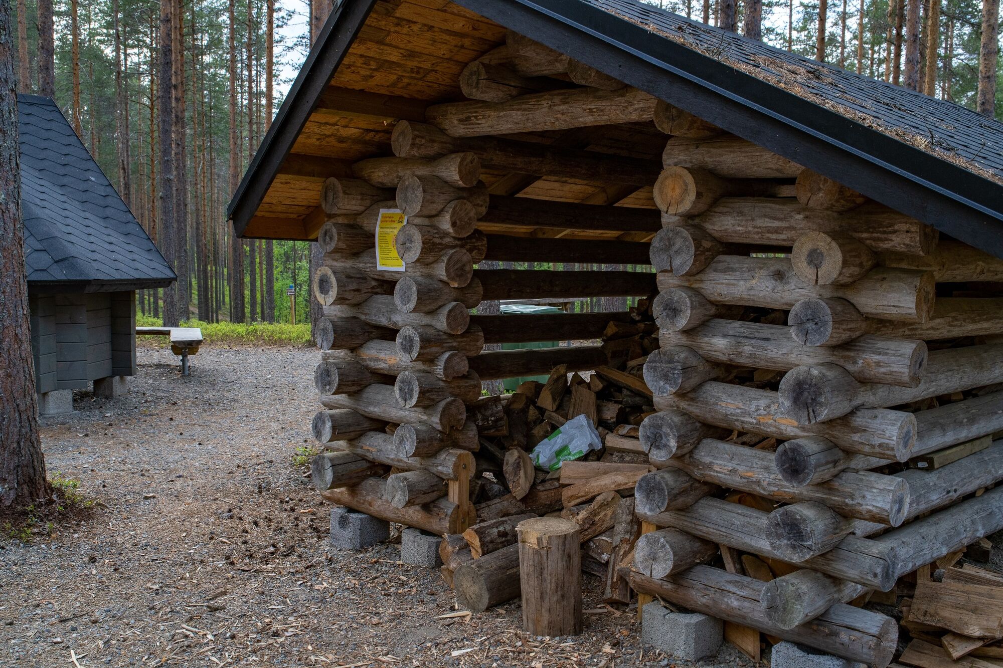
The accessible route, marked in green and progressing on flat heathland, is suitable for all walkers. The 1.4 km circular route begins in the yard of the Lykynlampi outdoor lodge. The accessible shelter area along the route is about 400 meters from the starting point. The shelter has a fireplace, woodshed, and an accessible outhouse.
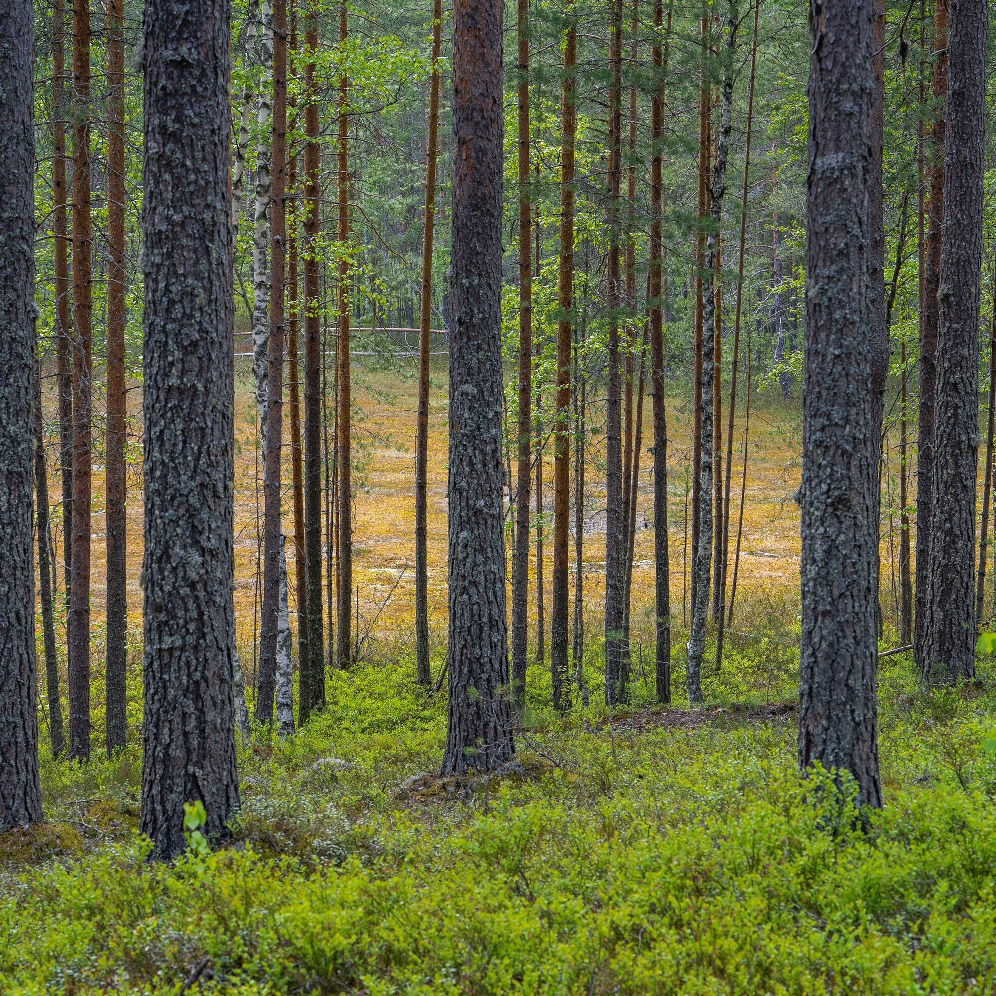
North of the shelter, a fascinating color spot is created by an open bog in the bottom of a depression in the even pine heath.
In winter, the accessible route can be used to reach the accessible shelter at Lykynlampi, which is 400 m from the Lykynlampi outdoor lodge. The path is snowy but packed.
The Lykynlampi frisbee golf course runs near the accessible route. Although the course is considered the most difficult in Joensuu, a couple of holes lie right next to the accessible route. On these holes, those who cannot complete the whole course can still try frisbee golf in terrain conditions. A player trying a single hole should of course give way to players completing the whole course and observe both frisbee golf etiquette and other walkers.
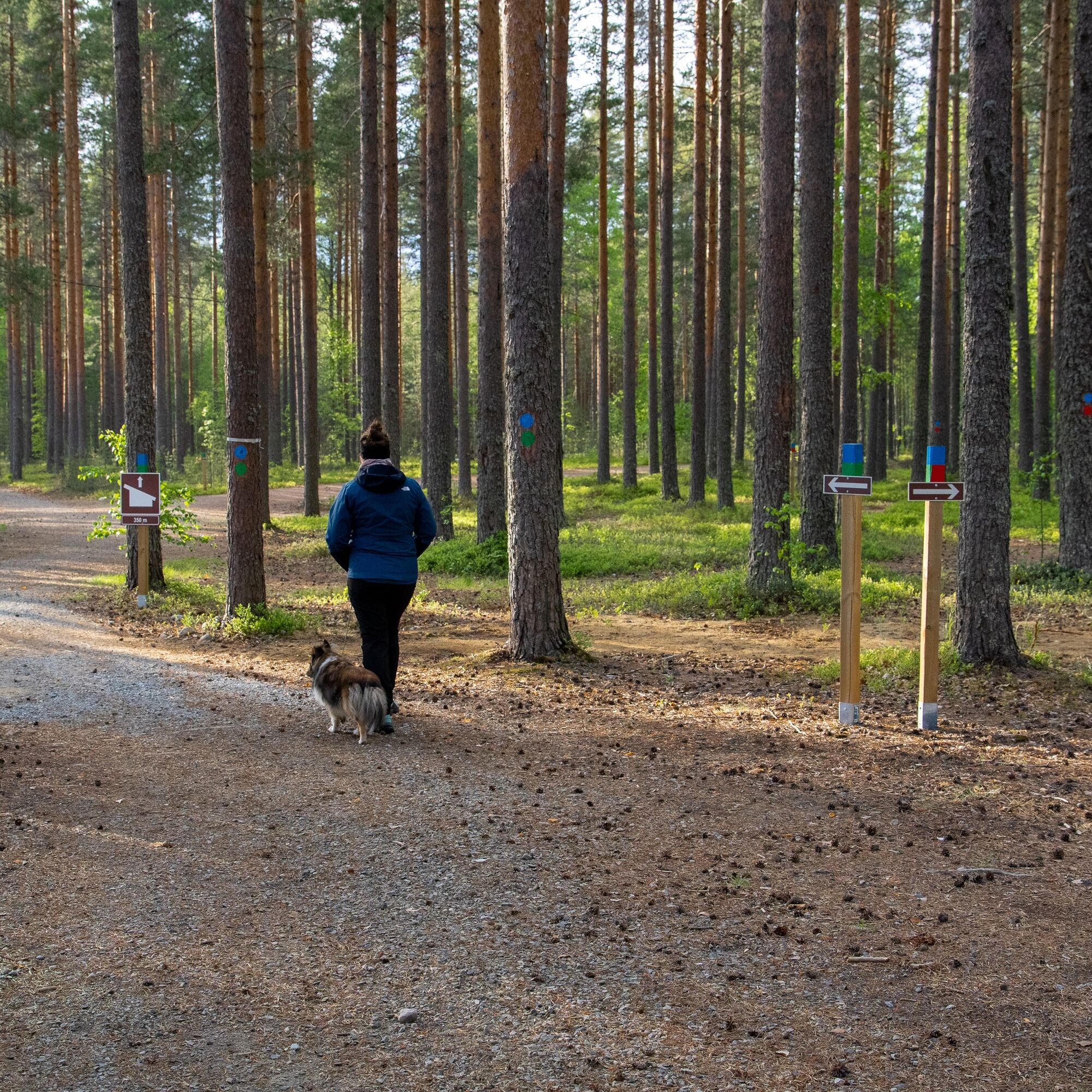
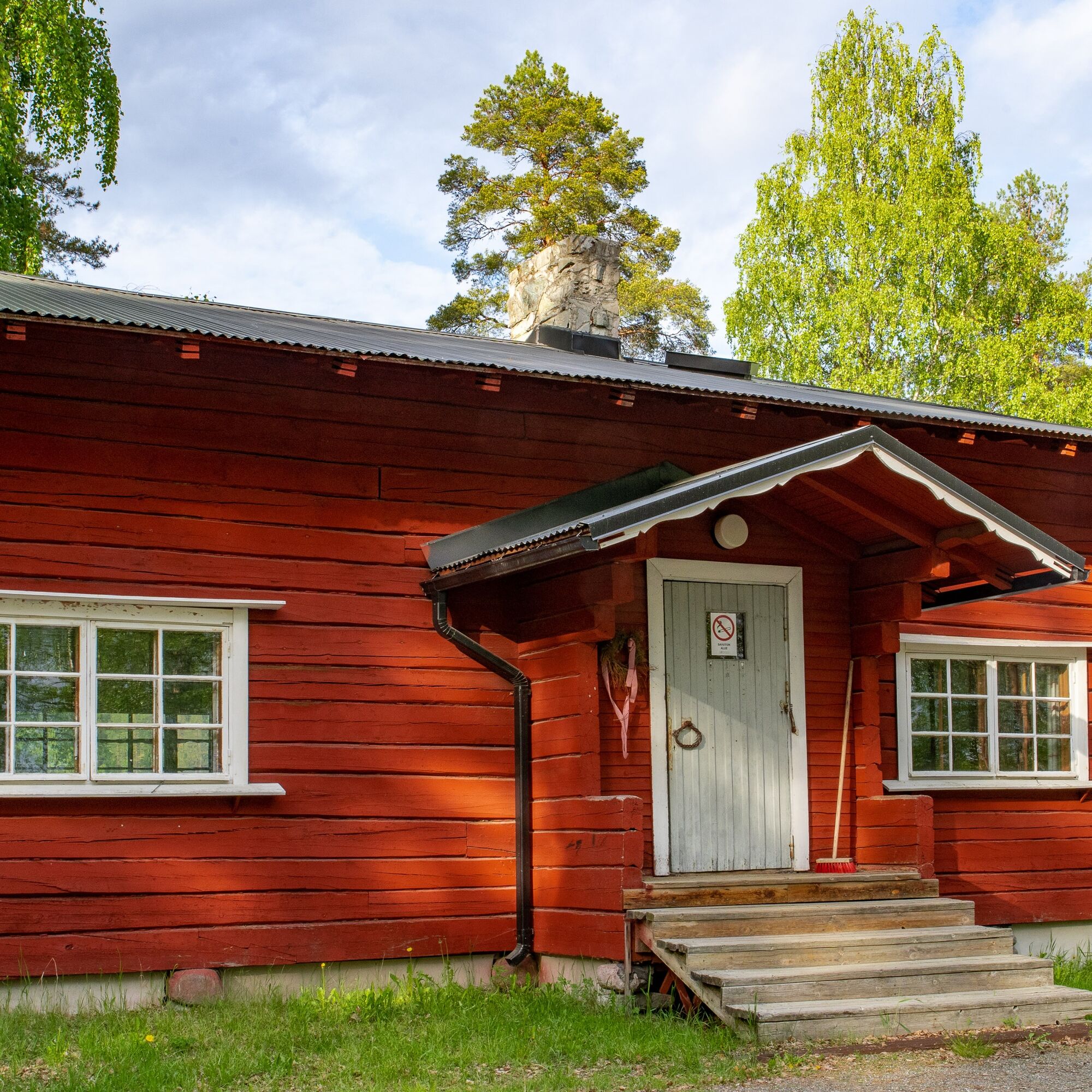
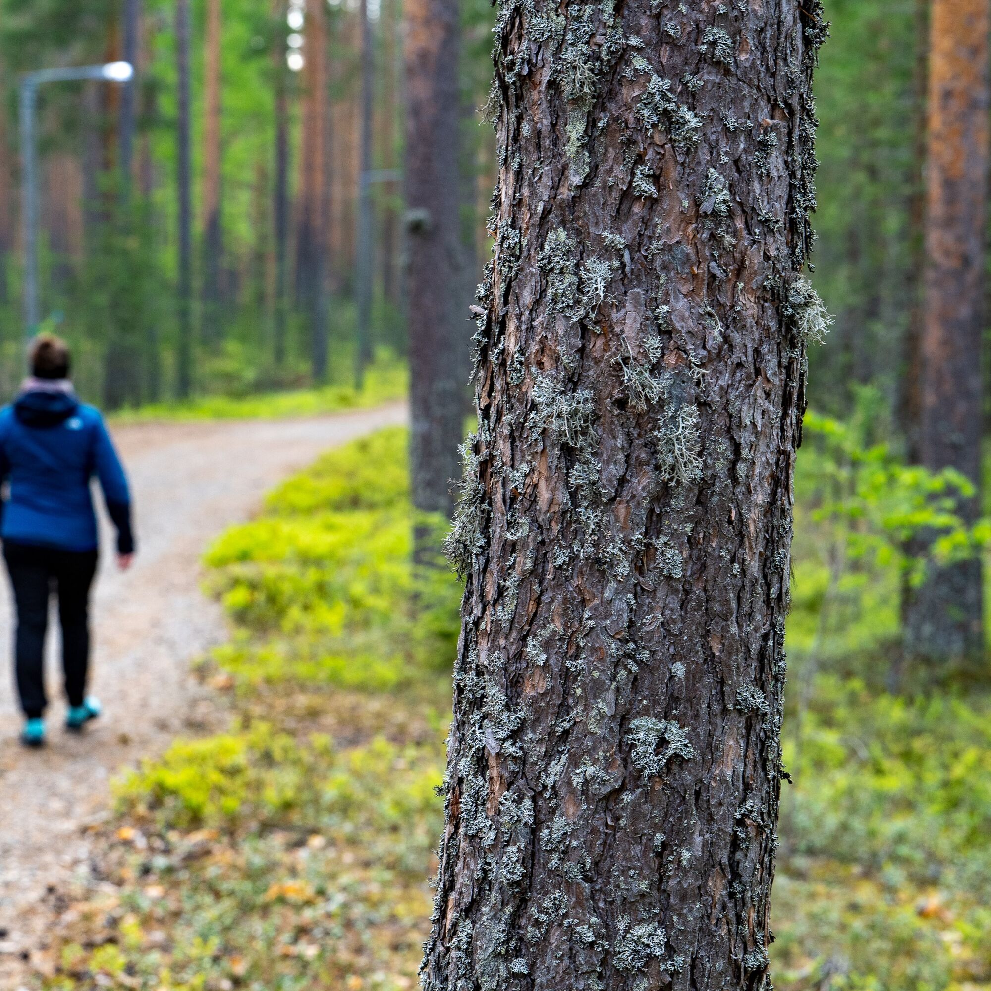
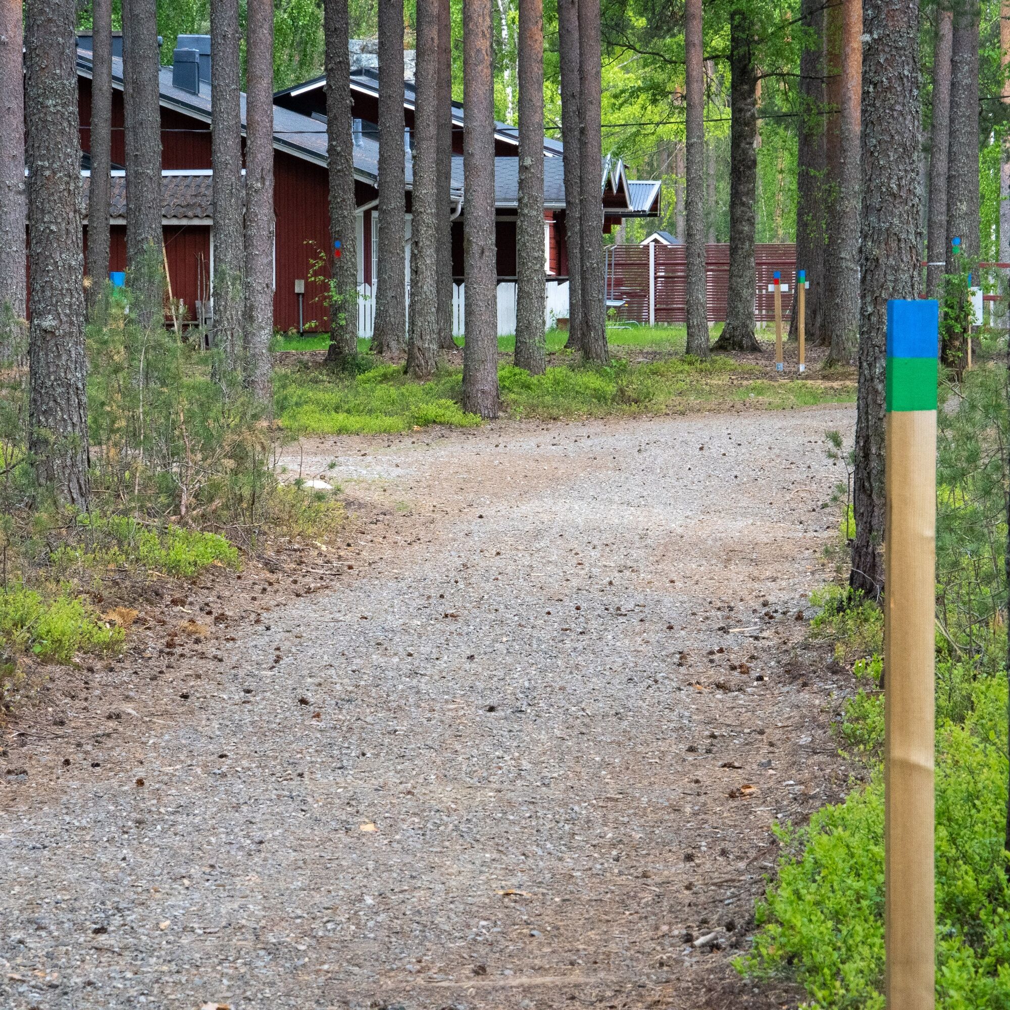
The route starts in front of the Lykynlampi ski lodge. The route’s guiding color is green, which makes it easy to follow through the route. The route starts in front of the Lykynlampi ski lodge heading north. The route splits into two directions after 100 meters (1.2 km loop). The route is two-way, but the recommended direction is counterclockwise, where there is a kotalaavu (traditional shelter) towards the end of the route.
The route includes a few intersections, but each intersection is marked with a post painted green (and partly blue) and arrows indicating direction.
Yes
Yes
Yes
For the campfire bring a knife, matches, and good food!
Use of fire is not allowed during forest fire warnings
Download the 112 app on your phone
Lykynlampi is easy to reach by bike, car, bus, and even by plane. By car, drive from Joensuu along Kuopiontie (Highway 9) about 5 km and turn at the interchange towards Onttola (Lykynlampi signs). Continue about 5 km along Onttolantie, then turn right following Lykynlampi signs. The airport is only 3 km from Lykynlampi.
The route starts in front of the Lykynlampi outdoor lodge. There is regular bus traffic to Lykynlampi. From the bus turning point, it is about 100 m to the front of the Lykynlampi outdoor lodge.
Lykynlampi address: Onttolantie 94, Kontiolahti.
Check timetables at https://jojo.joensuu.fi/.
There is plenty of free parking next to the Lykynlampi outdoor lodge.
The nearest restaurants and shops are located at Marjala ABC and Pilkko Citymarket.
At Lykynlampi there are toilets, a water point, and showers in the dressing rooms behind the outdoor lodge.
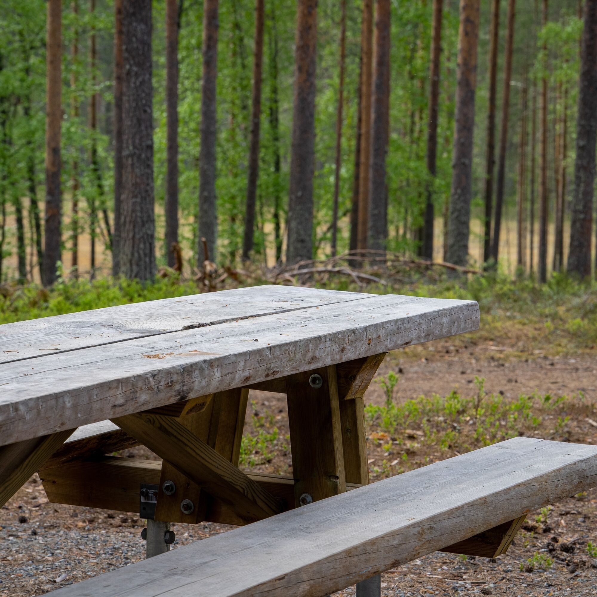
Along the route there is an accessible kotalaavu, which includes an accessible fireplace, accessible table, accessible toilet, and firewood.
At the Lykynlampi outdoor lodge, there is a water point and toilet in the shower facilities on the backyard side, which are not, however, accessible.
Popular tours in the neighbourhood
Liperin Kinttupolut (helpoimmat polut Kaprakasta käsin)
lightMountainbike28.2 kmJoy of riding, the best parts of Joensuu region routes 184 km
mediumMountainbike184.3 kmJaama Trail, easy circular route around Joensuu
lightMountainbike59.4 kmSurmilampi Trail, Liperin Kinttupolut
mediumTrailrunning6.55 kmKontioniemi Trail
mediumHiking8.98 kmThe best parts of Kontionpolut trails
mediumMountainbike40.8 kmKuhasalo accessible nature trail
lightHiking3.36 kmThe best bits of the Harjupolut route
lightMountainbike21.2 kmThe best trails in the Lykynpaths route at Lykynlampi
lightMountainbike15.4 kmFrom Joensuu's Jokiasema to Lykynlamm
lightMountainbike42.5 km
Hiking & Tracking


Don't miss out on offers and inspiration for your next holiday
Your e-mail address has been added to the mailing list.