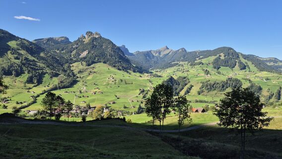
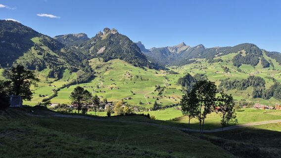
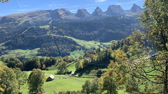
Stein SG - Alplispitz - Boden-Berg - Alt St. Johann
heavy
Navigate
Navigate
Get this tour on your mobile
Stein SG - Alplispitz - Boden-Berg - Alt St. Johann
heavy
Hiking
13.32
km
Scan the QR code and start navigation in the bergfex app

Hiking & Tracking


Distance
13.32
km
Duration
04:46
h
Ascent
1,052
m
Sea level
837 -
1,813
m
Track download
Stein SG - Alplispitz - Boden-Berg - Alt St. Johann
heavy
Hiking
13.32
km


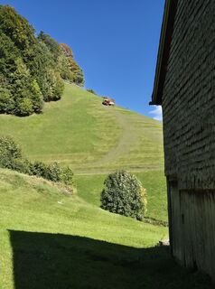
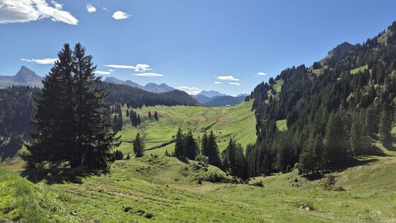
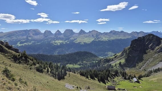
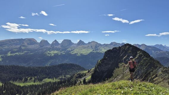
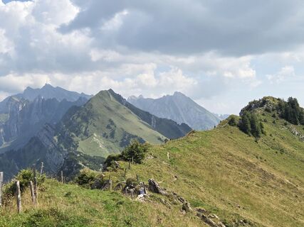
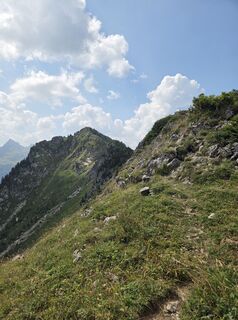
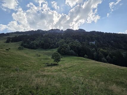
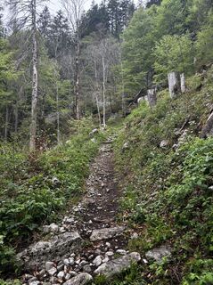
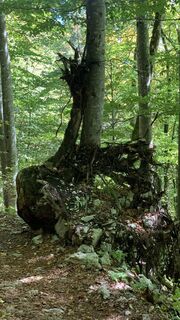
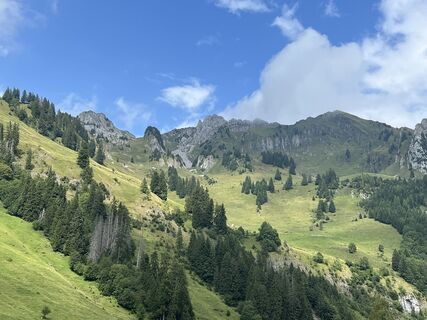
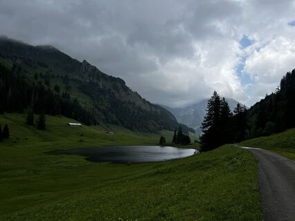
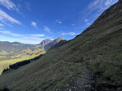
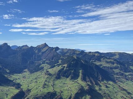
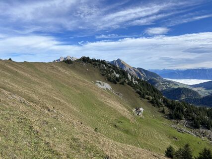
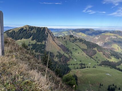
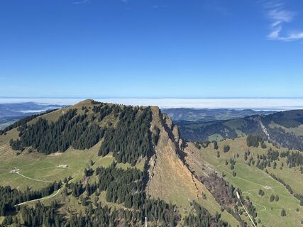
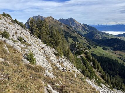
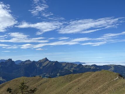
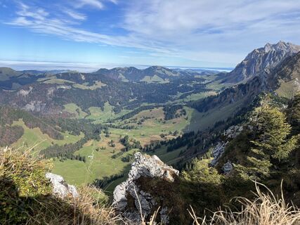
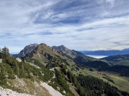
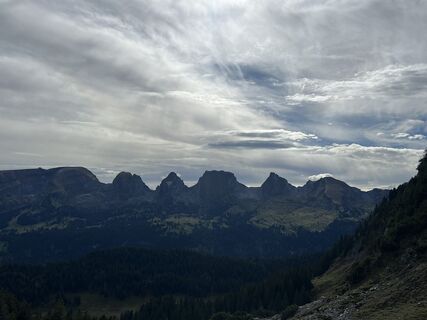
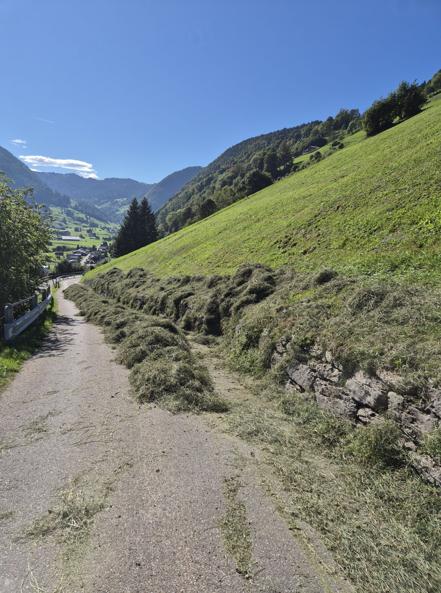
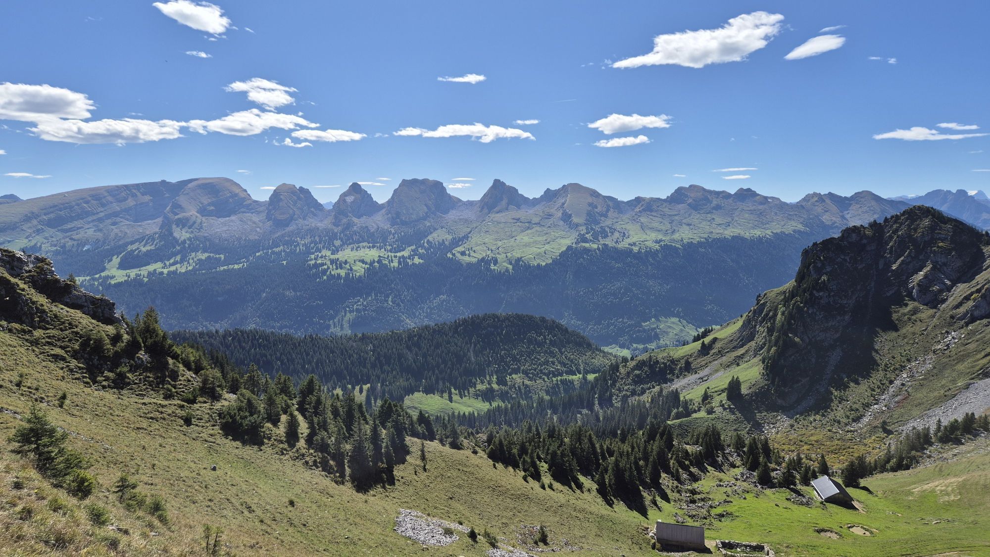
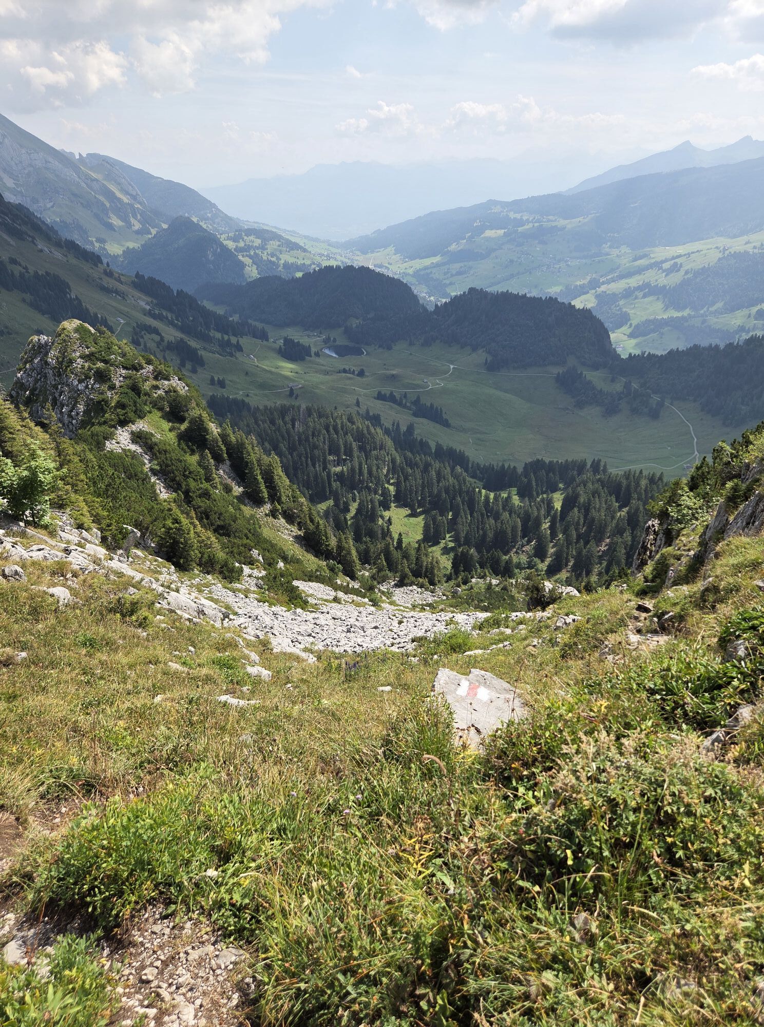
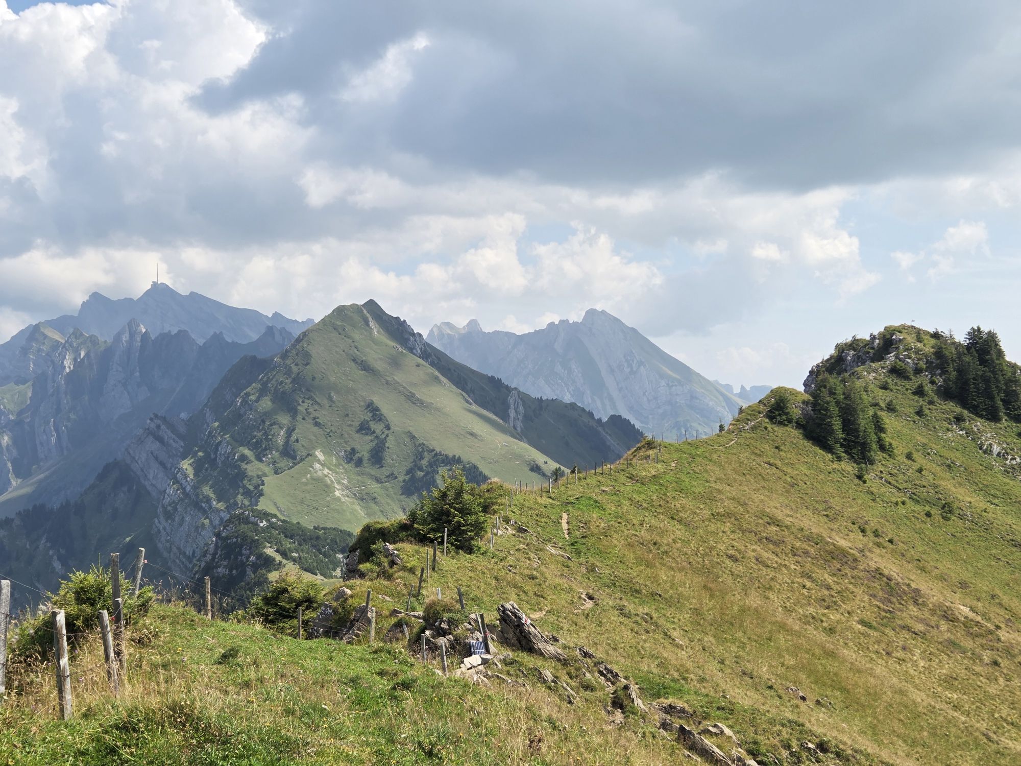
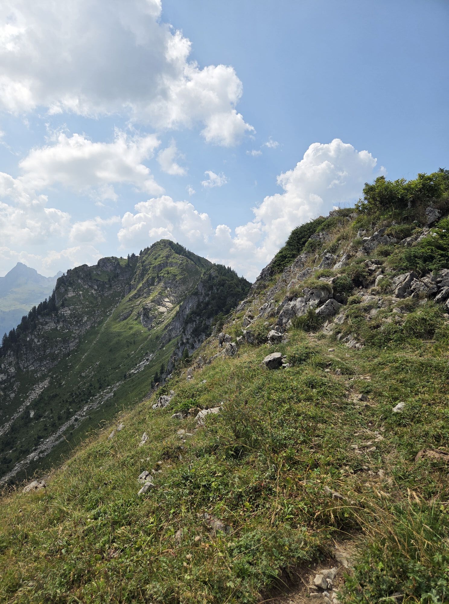
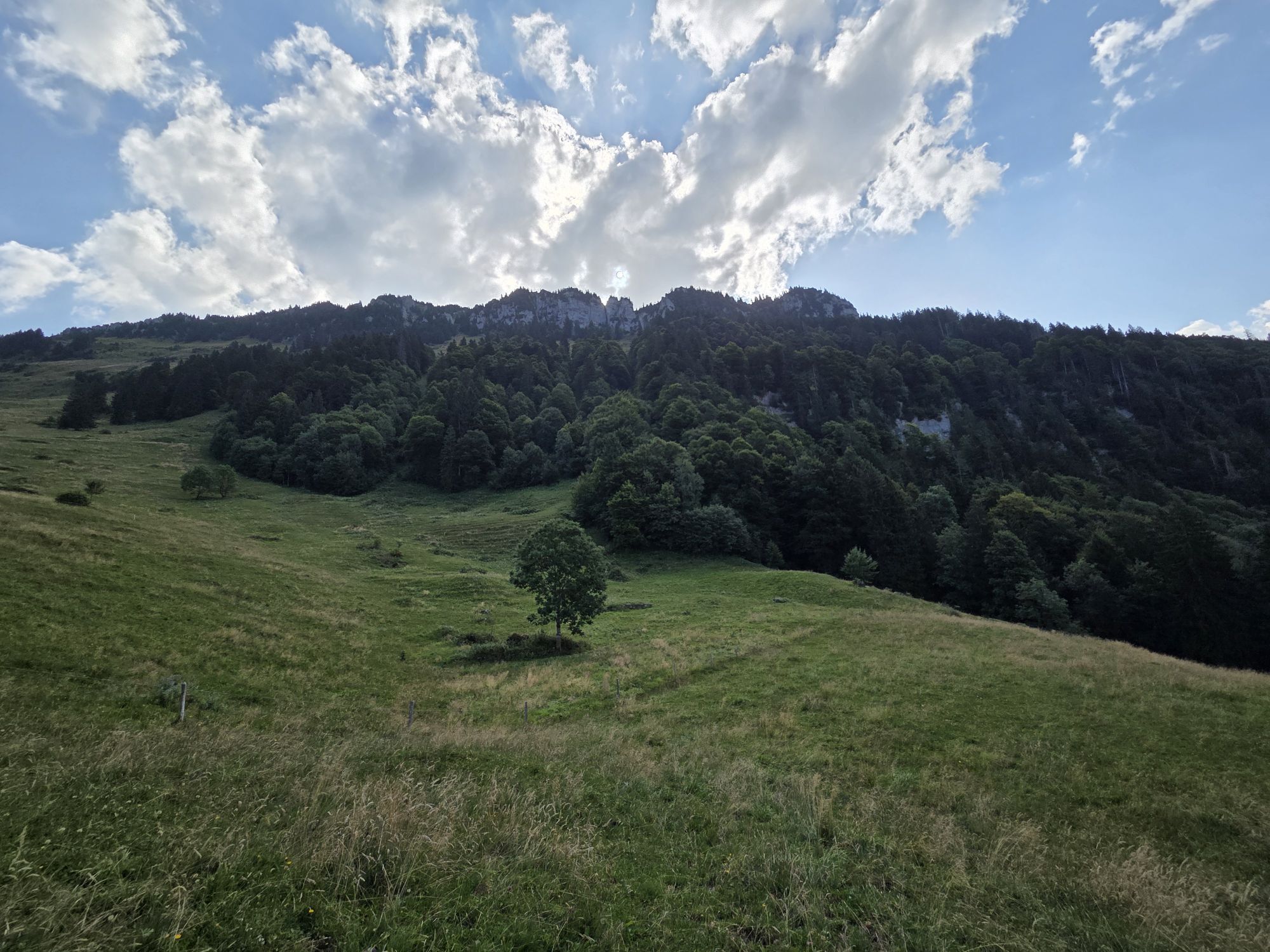
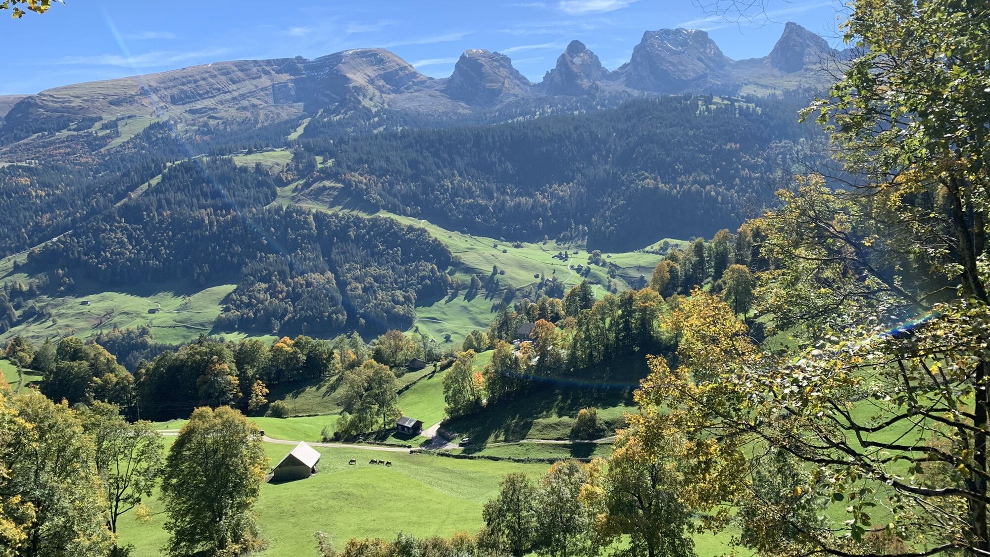
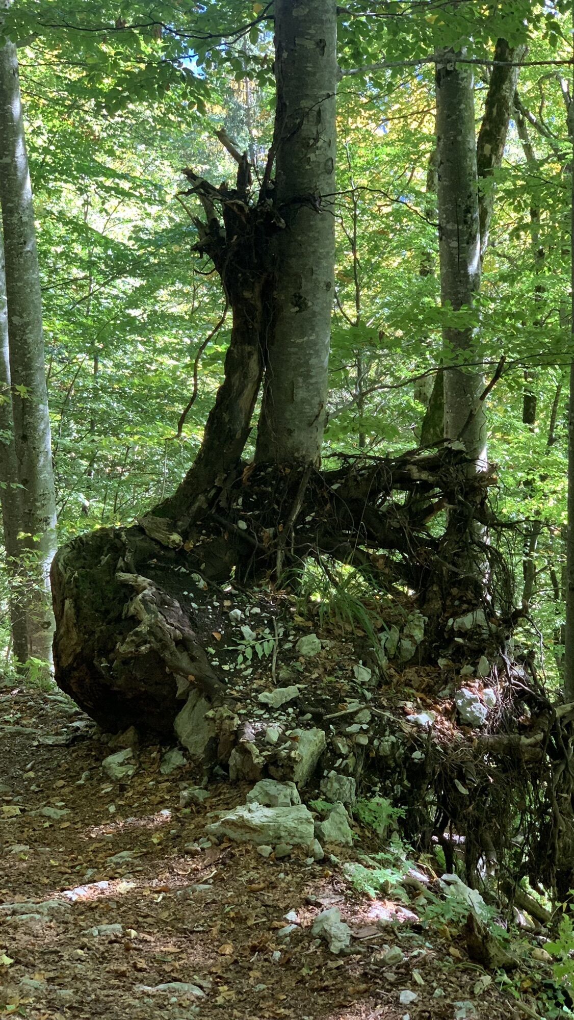
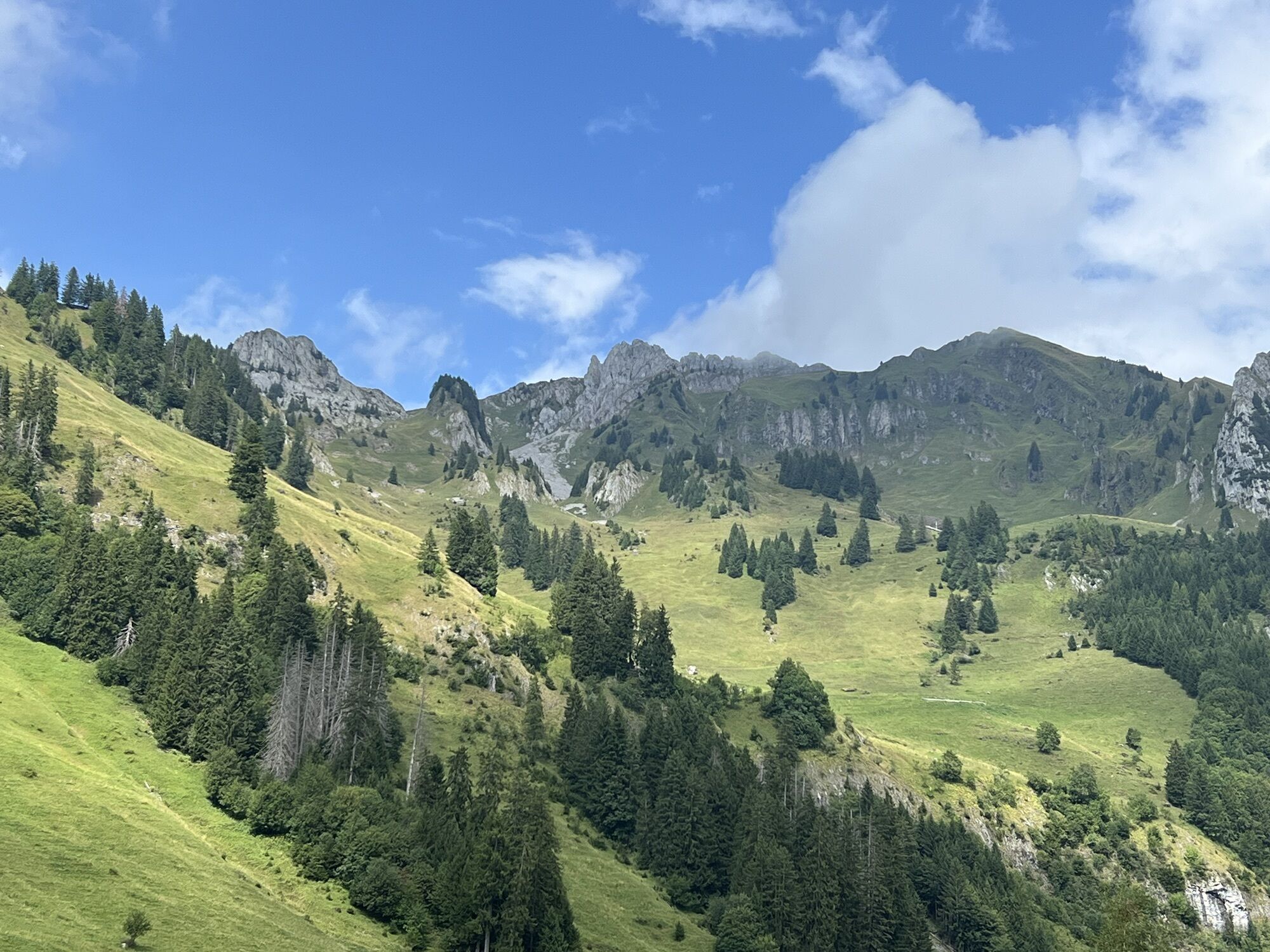
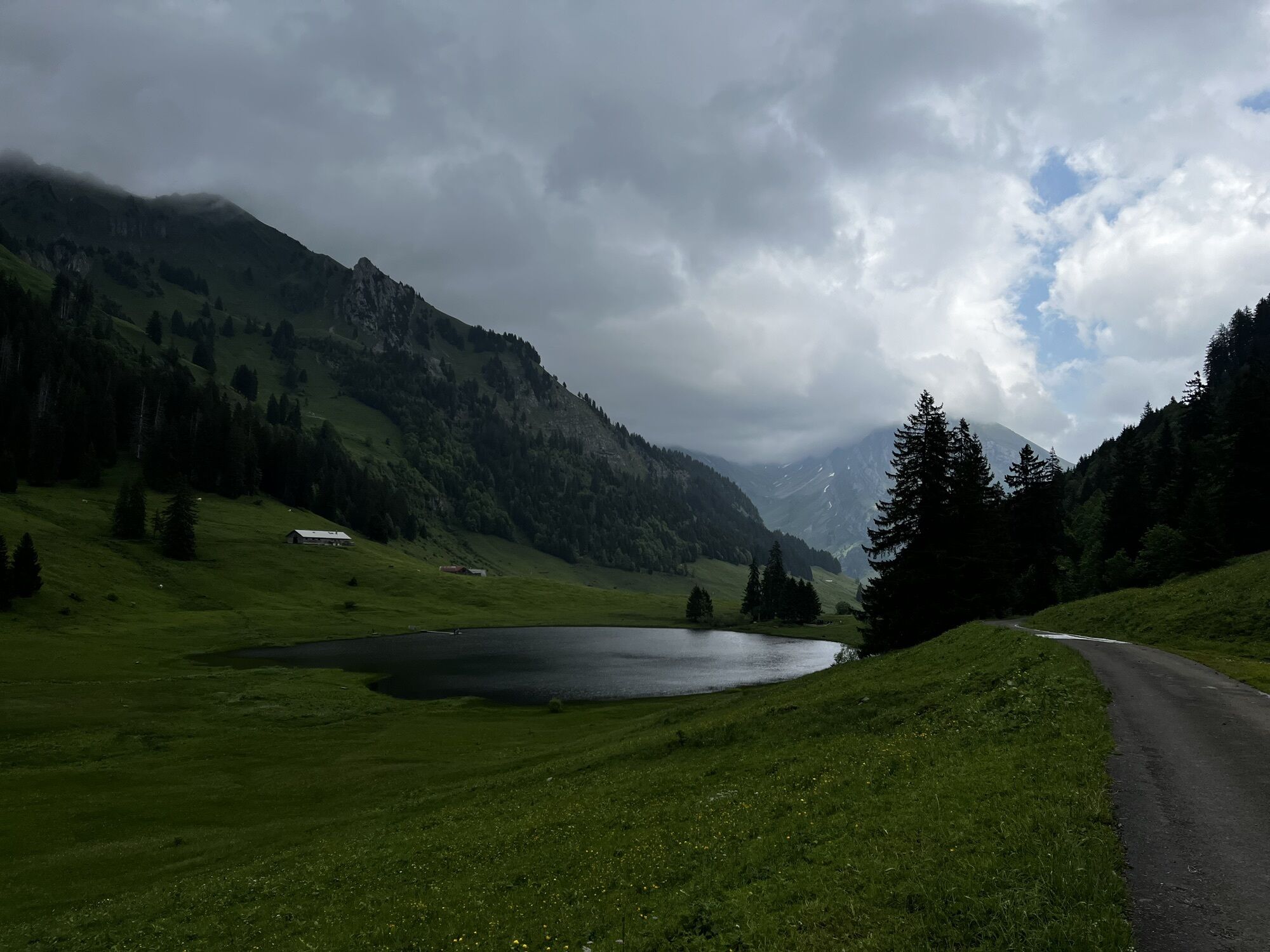
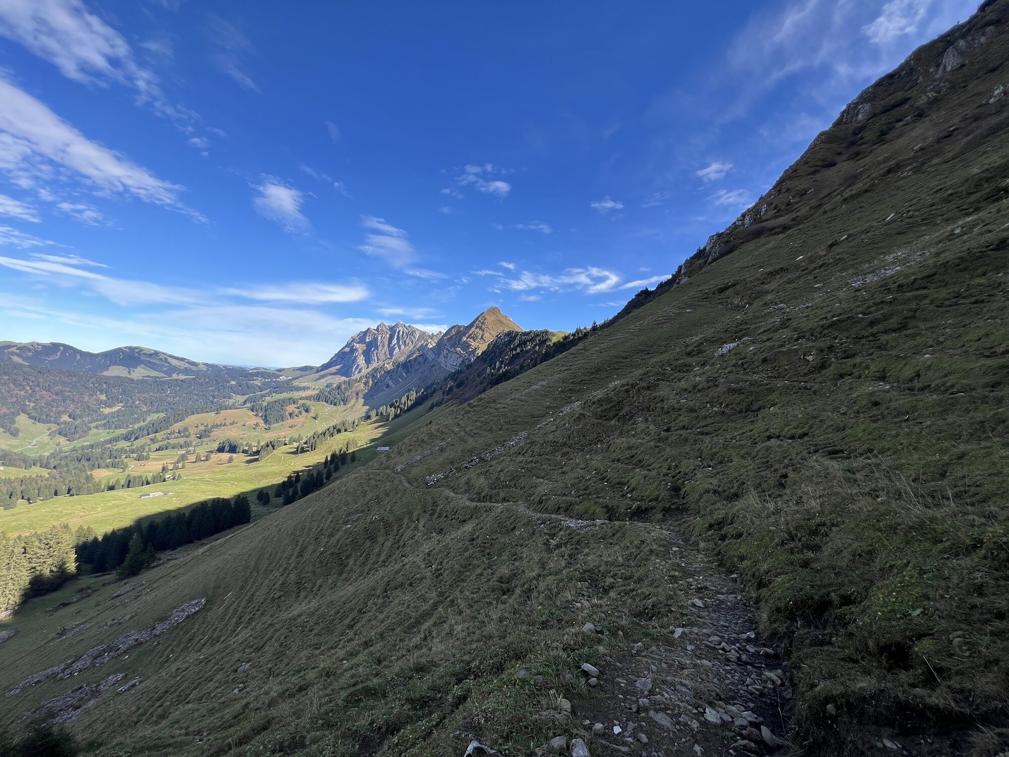
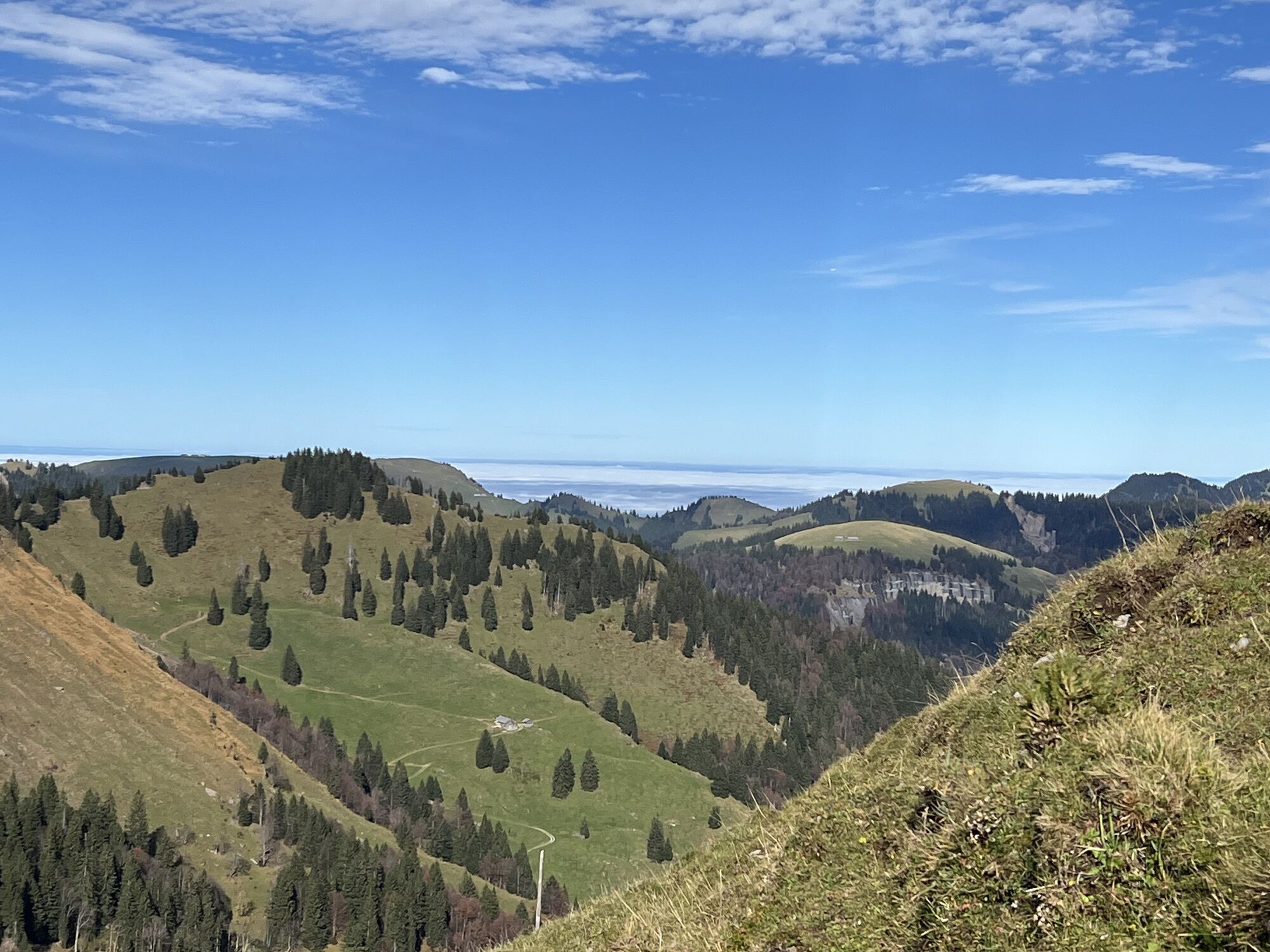
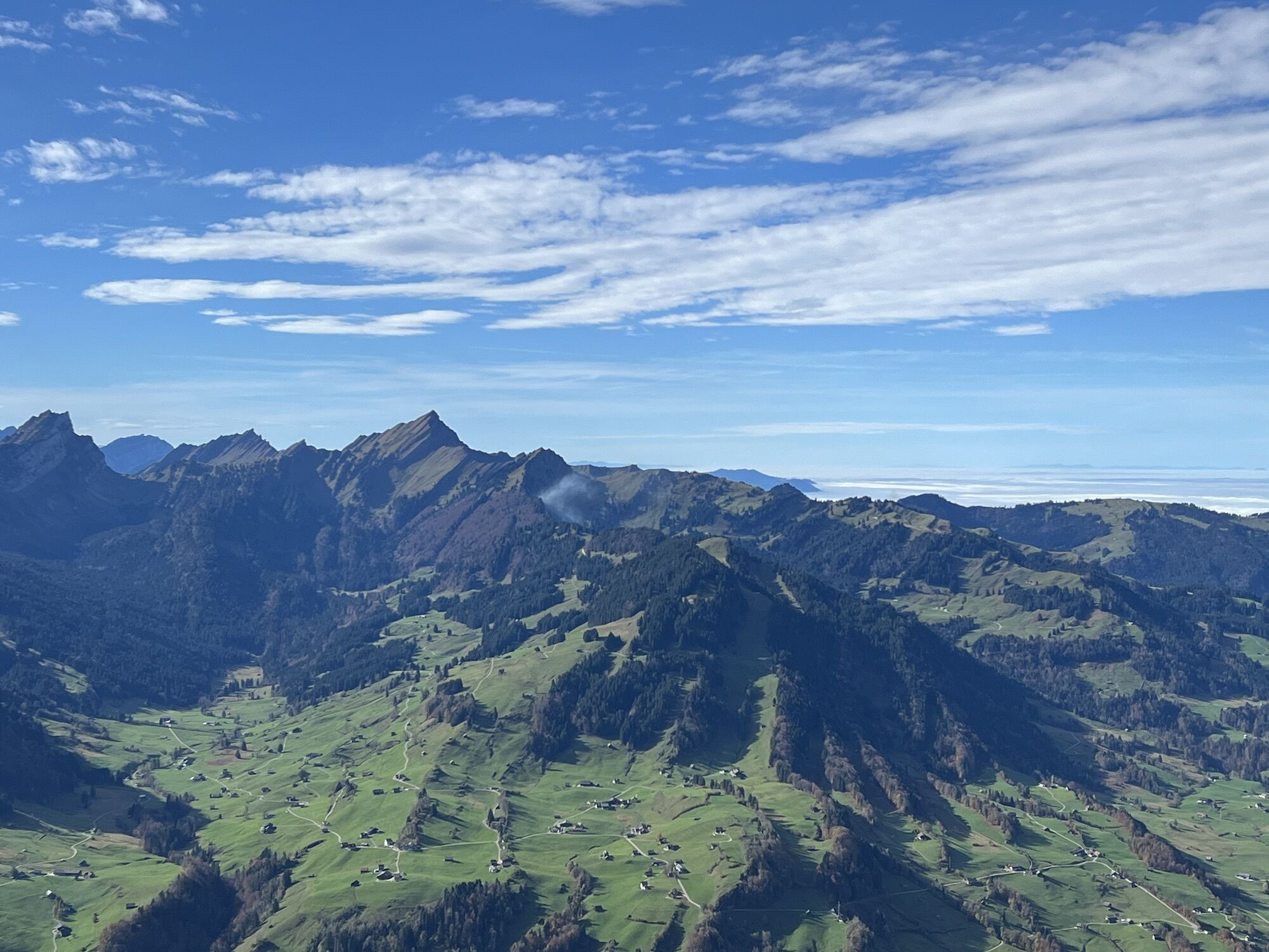
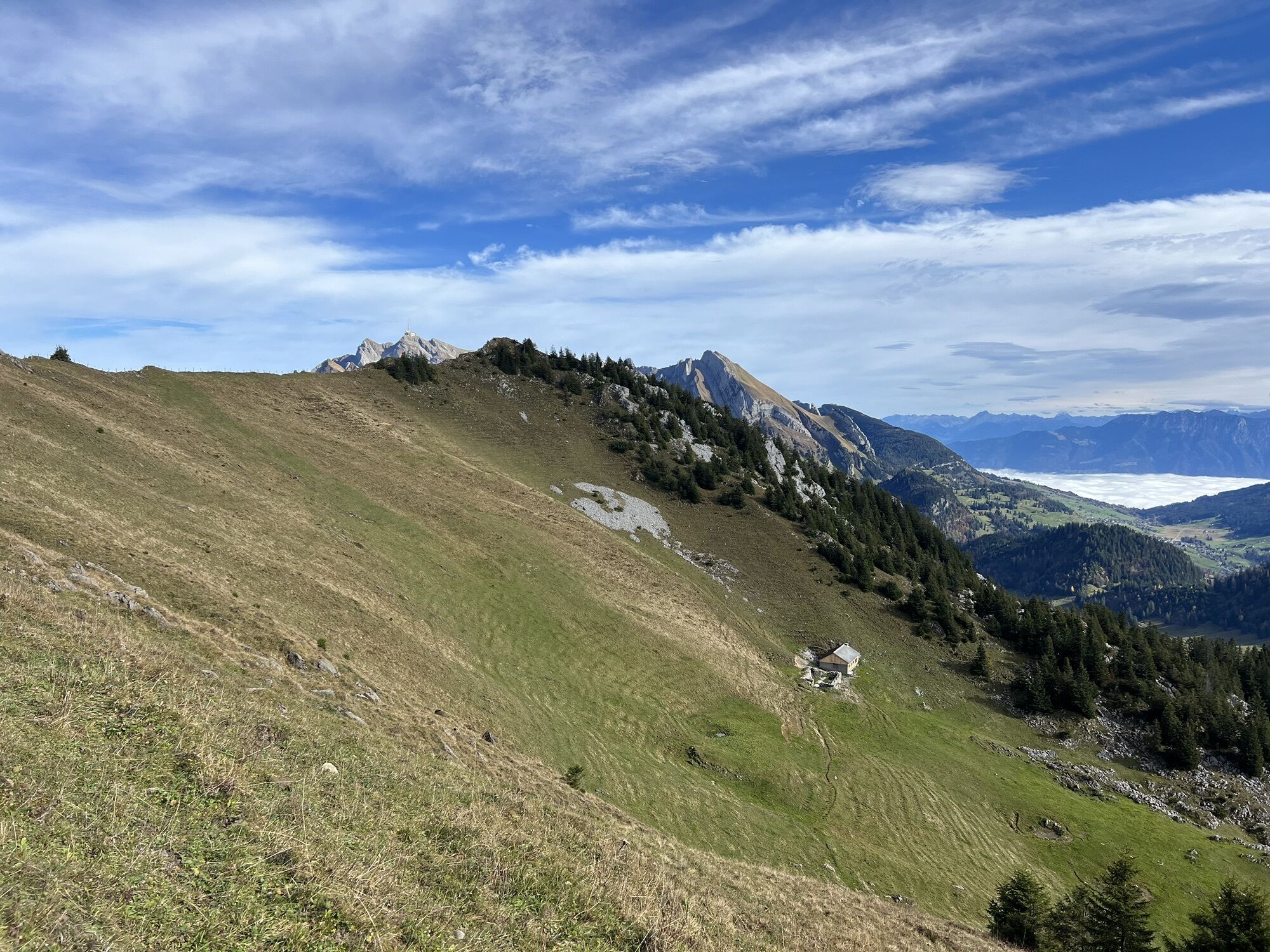
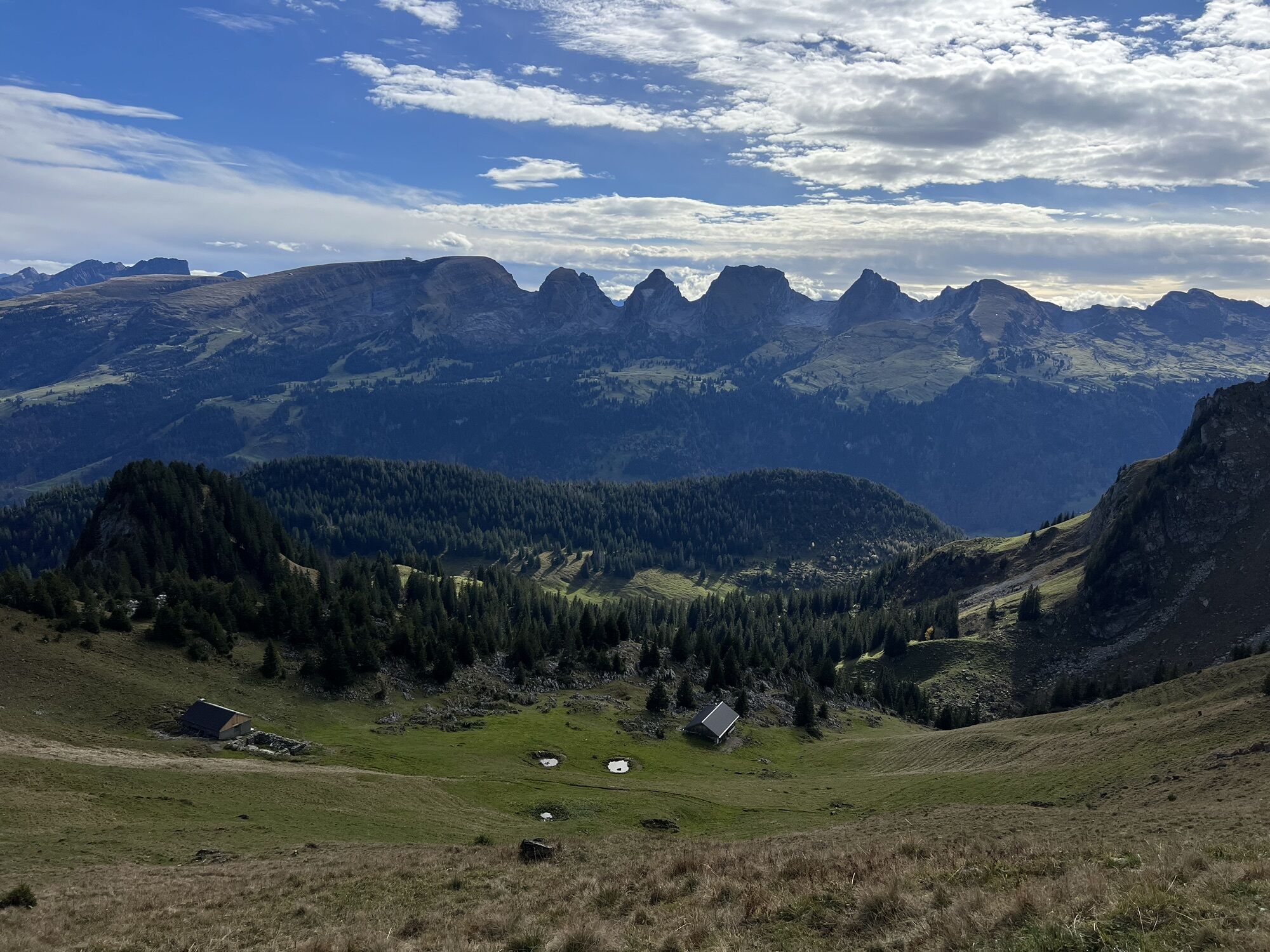
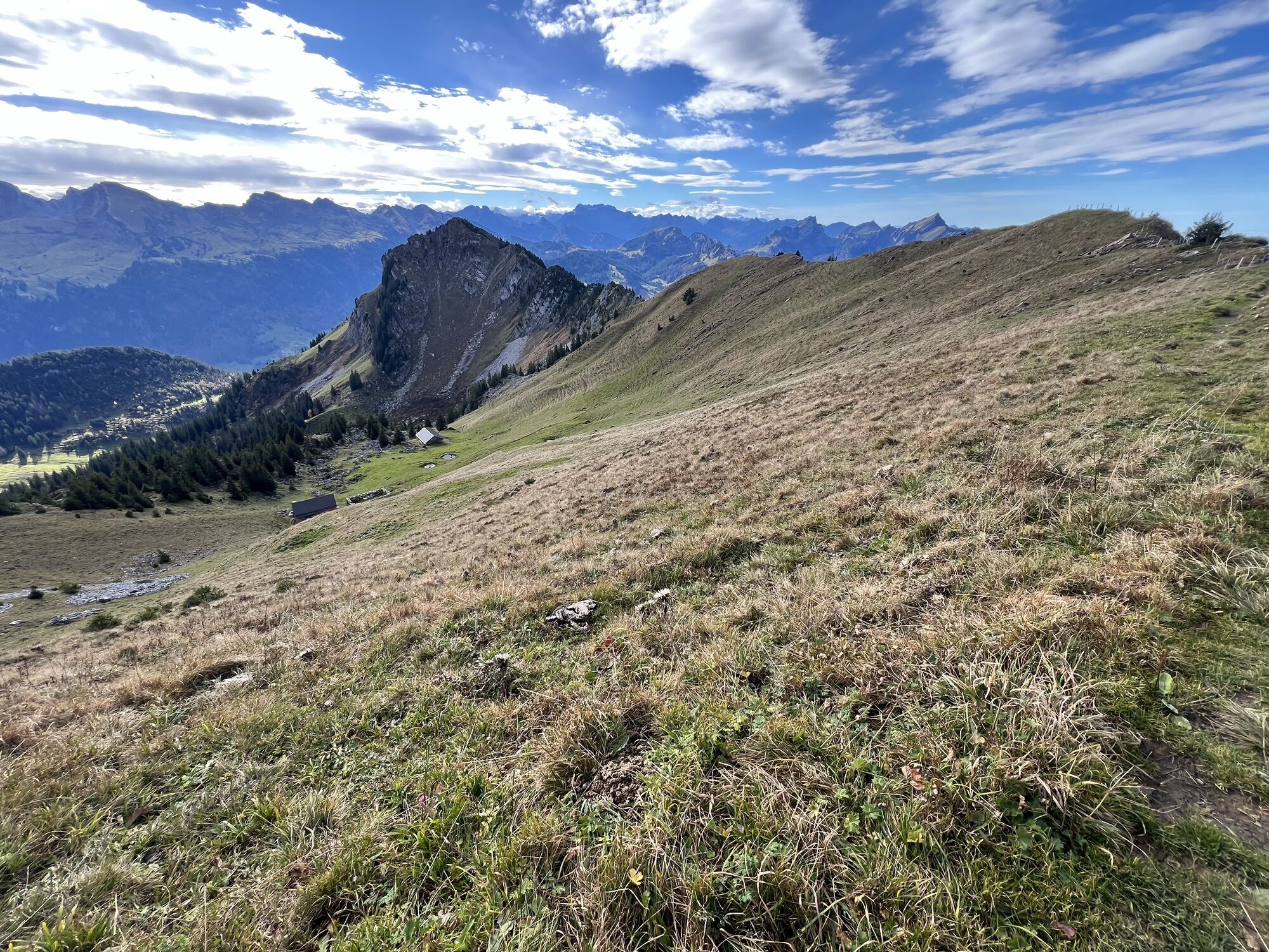
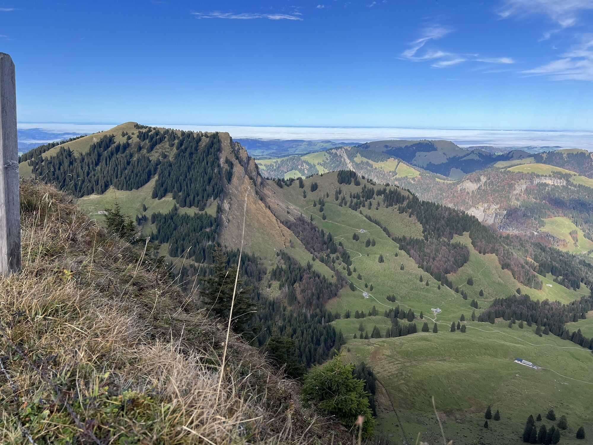
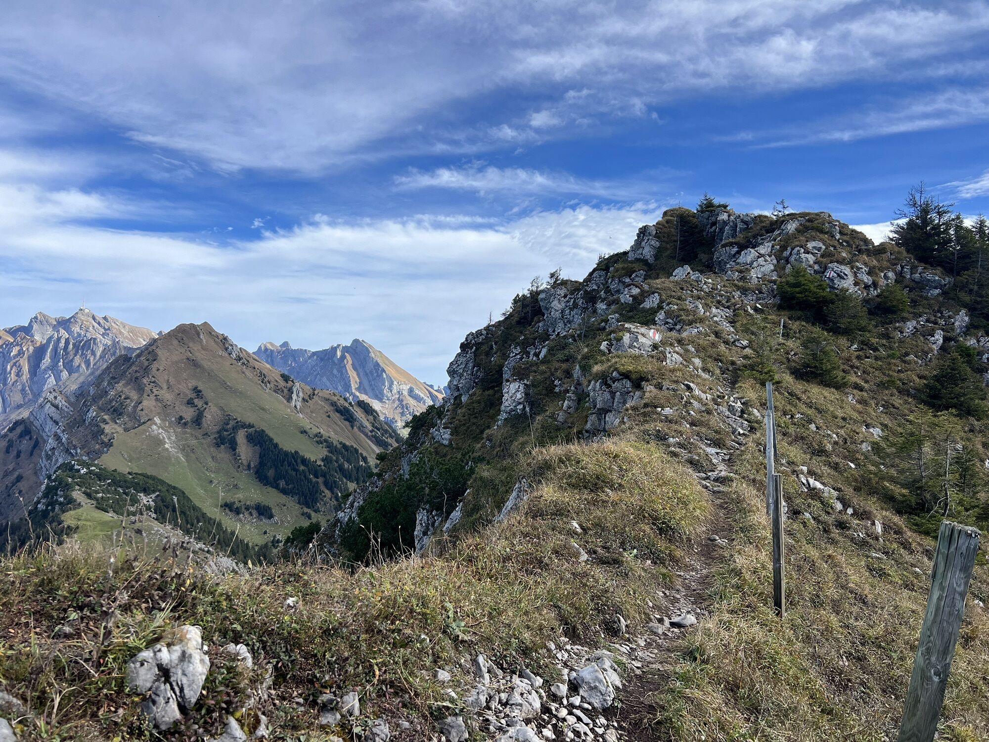
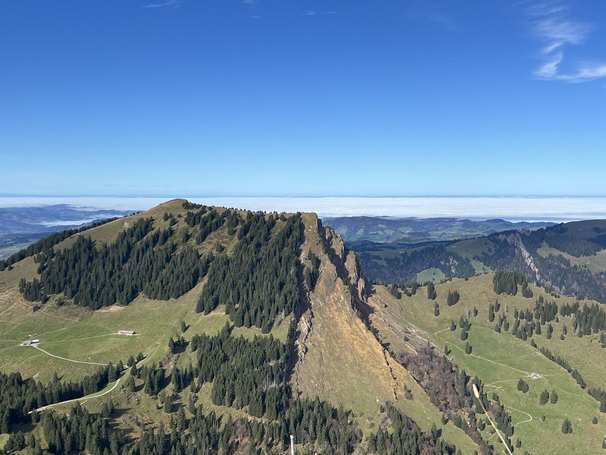
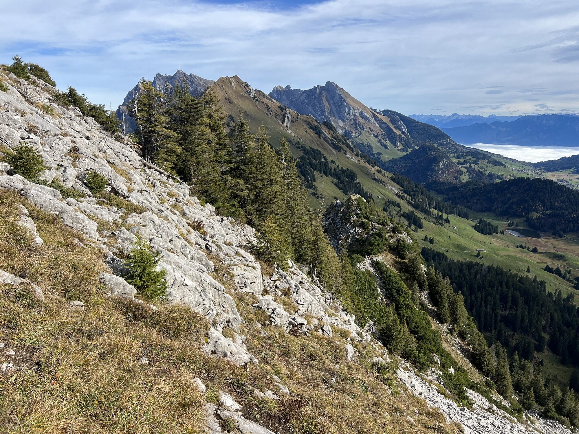
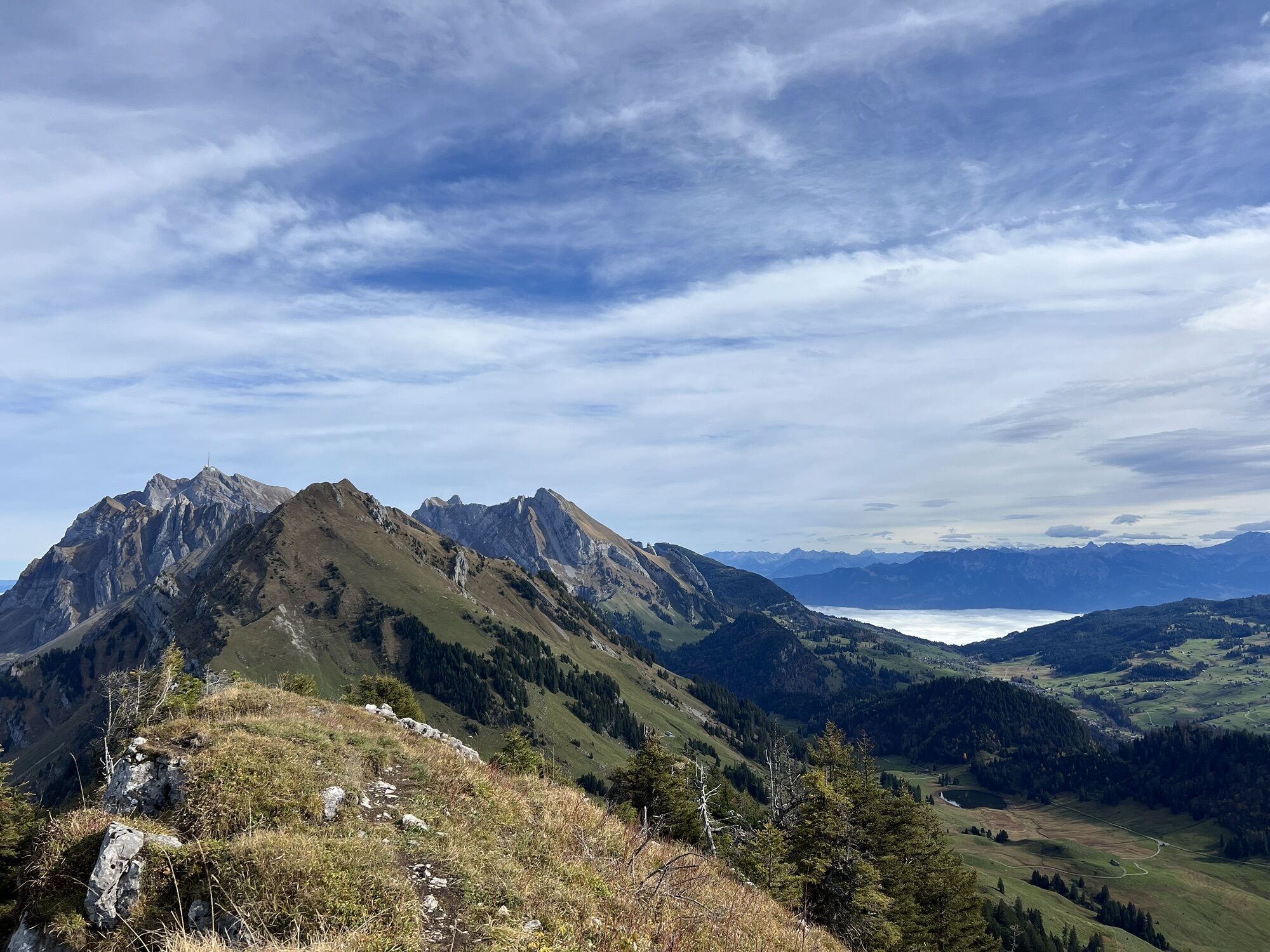
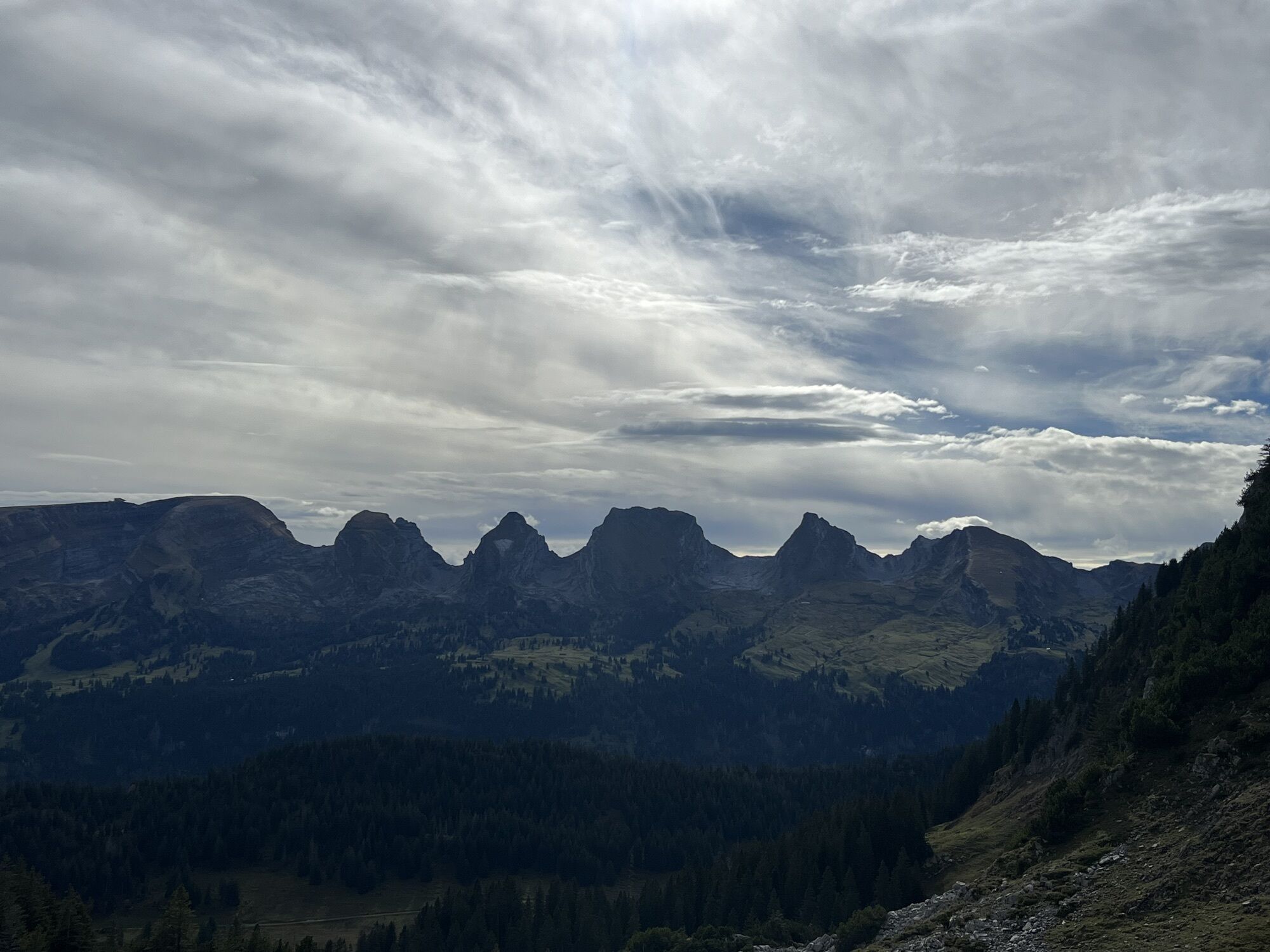
Photos from our users
-

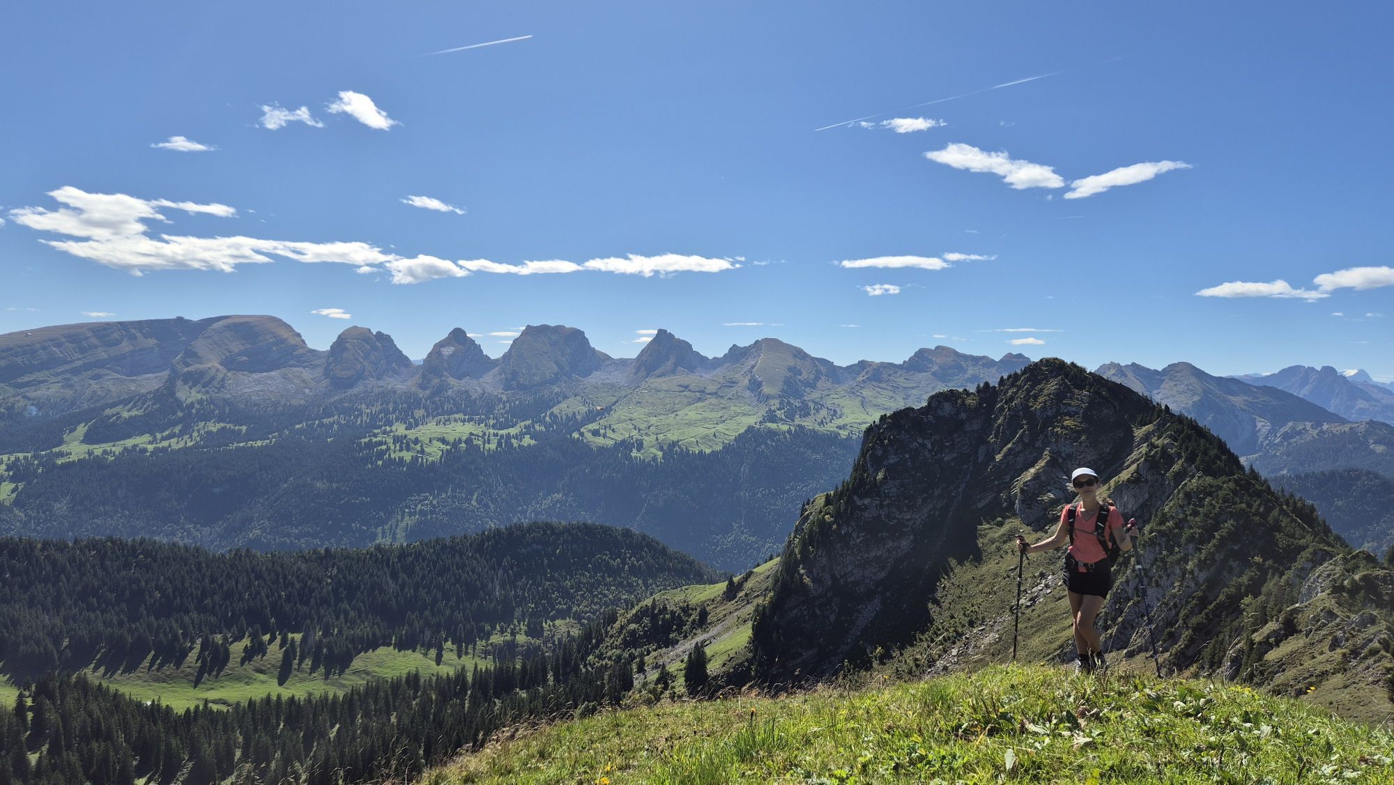
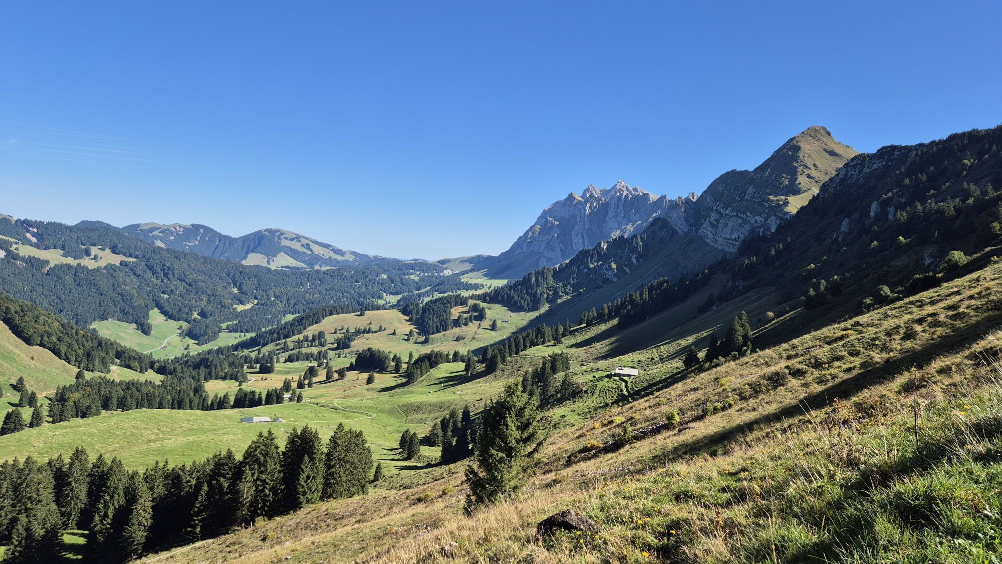
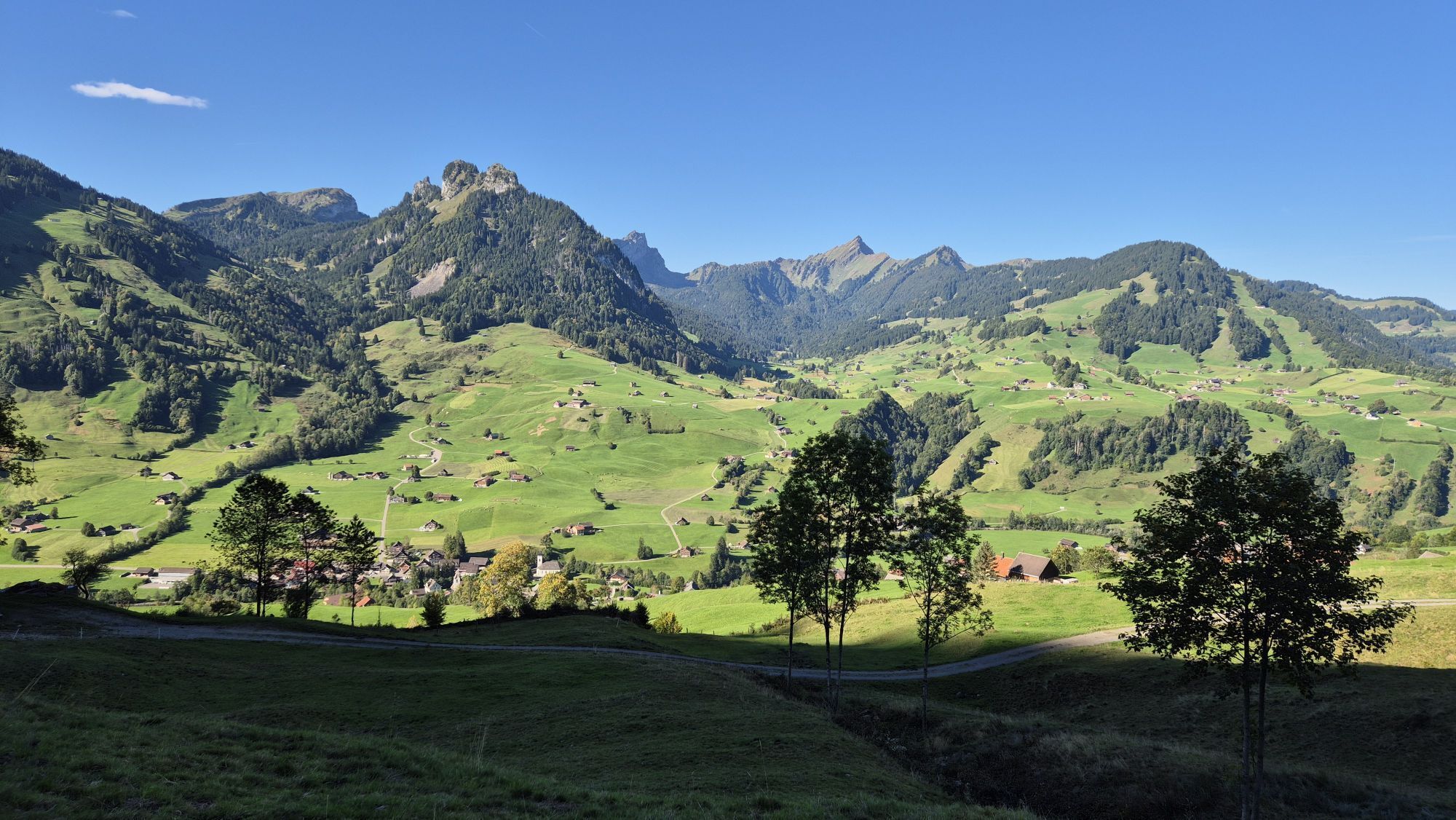
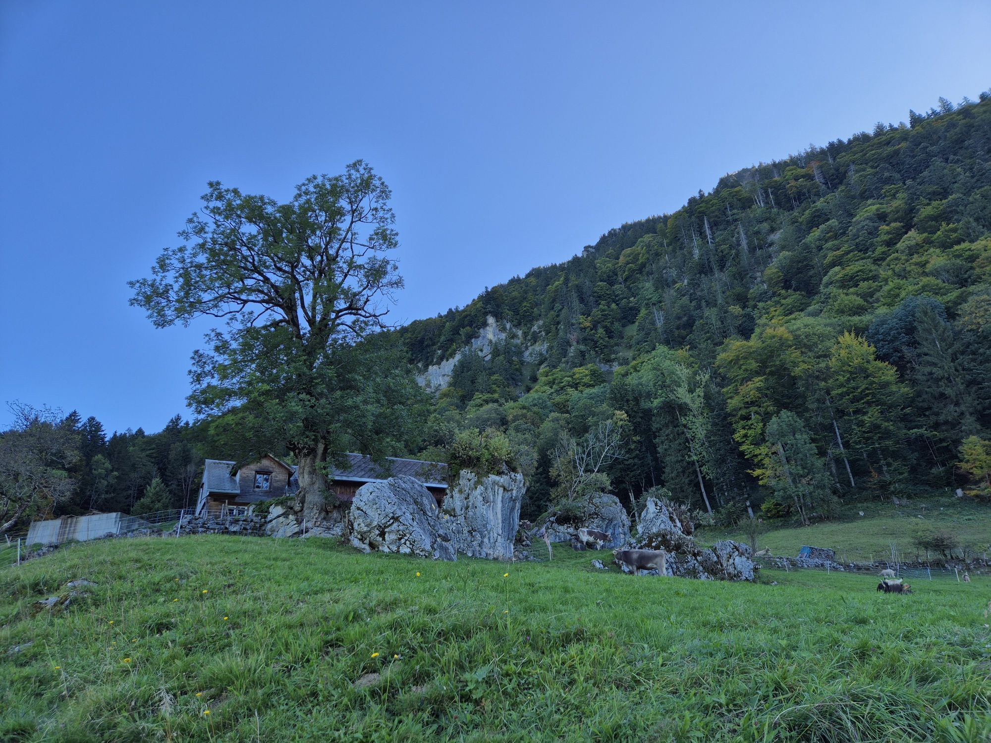
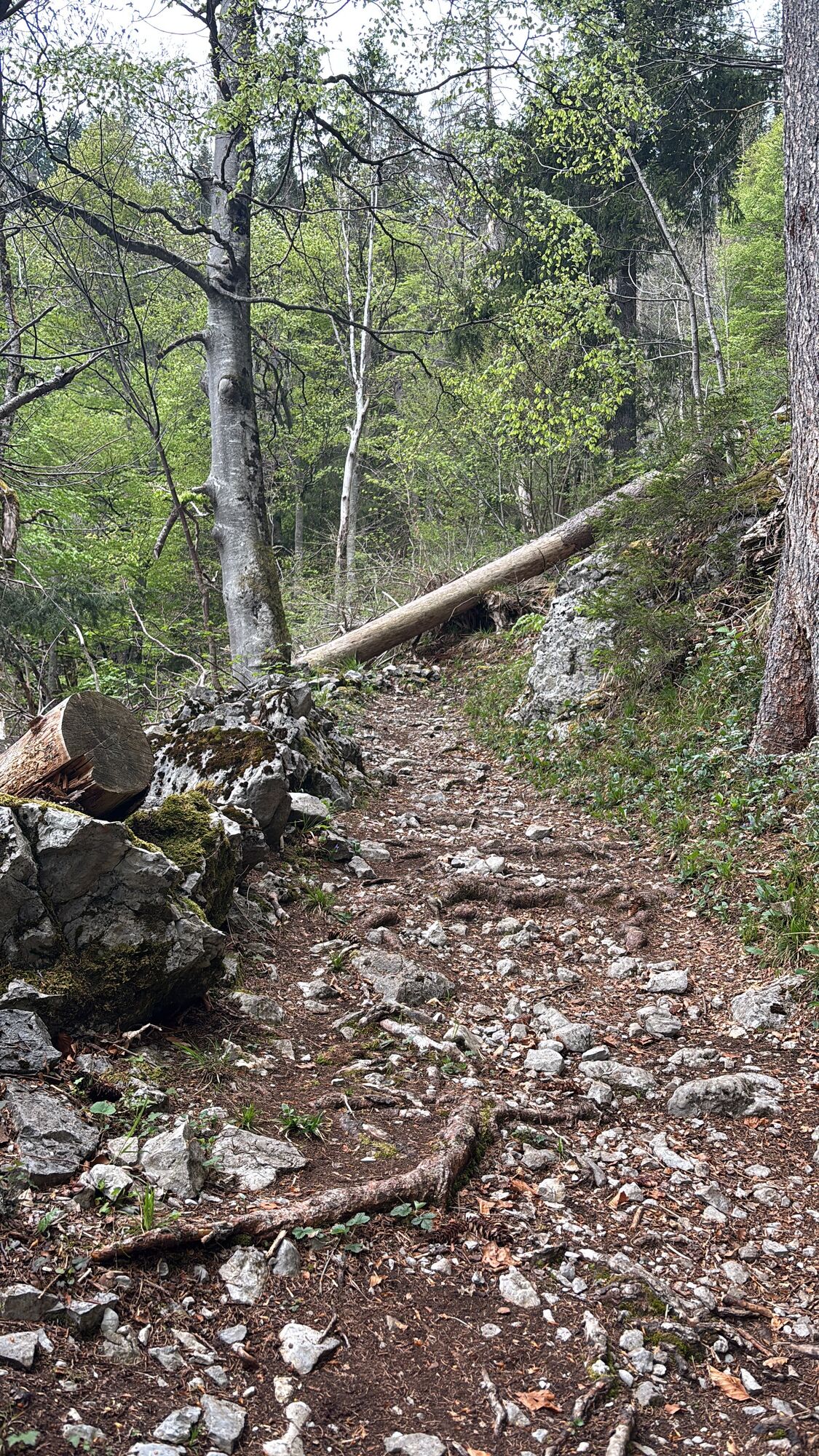
 © alinraduCreated on 20.09.2025
 -
 © alinraduCreated on 20.09.2025
 -
 © alinraduCreated on 20.09.2025
 -
 © alinraduCreated on 20.09.2025
 -
 © alinraduCreated on 20.09.2025
 -
 © alinraduCreated on 20.09.2025
 -
 © alinraduCreated on 20.09.2025
 -
 © alinraduCreated on 20.09.2025
 -
 © alinraduCreated on 20.09.2025
 -
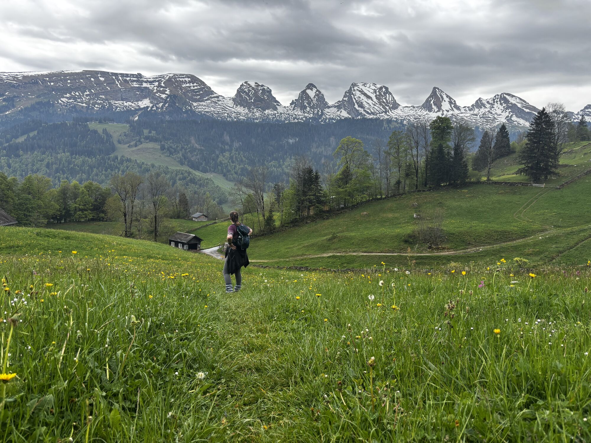
 © SvenCreated on 15.08.2025
 -
 © SvenCreated on 15.08.2025
 -
 © SvenCreated on 15.08.2025
 -
 © SvenCreated on 15.08.2025
 -
 © SvenCreated on 15.08.2025
 -
 © SvenCreated on 15.08.2025
 -
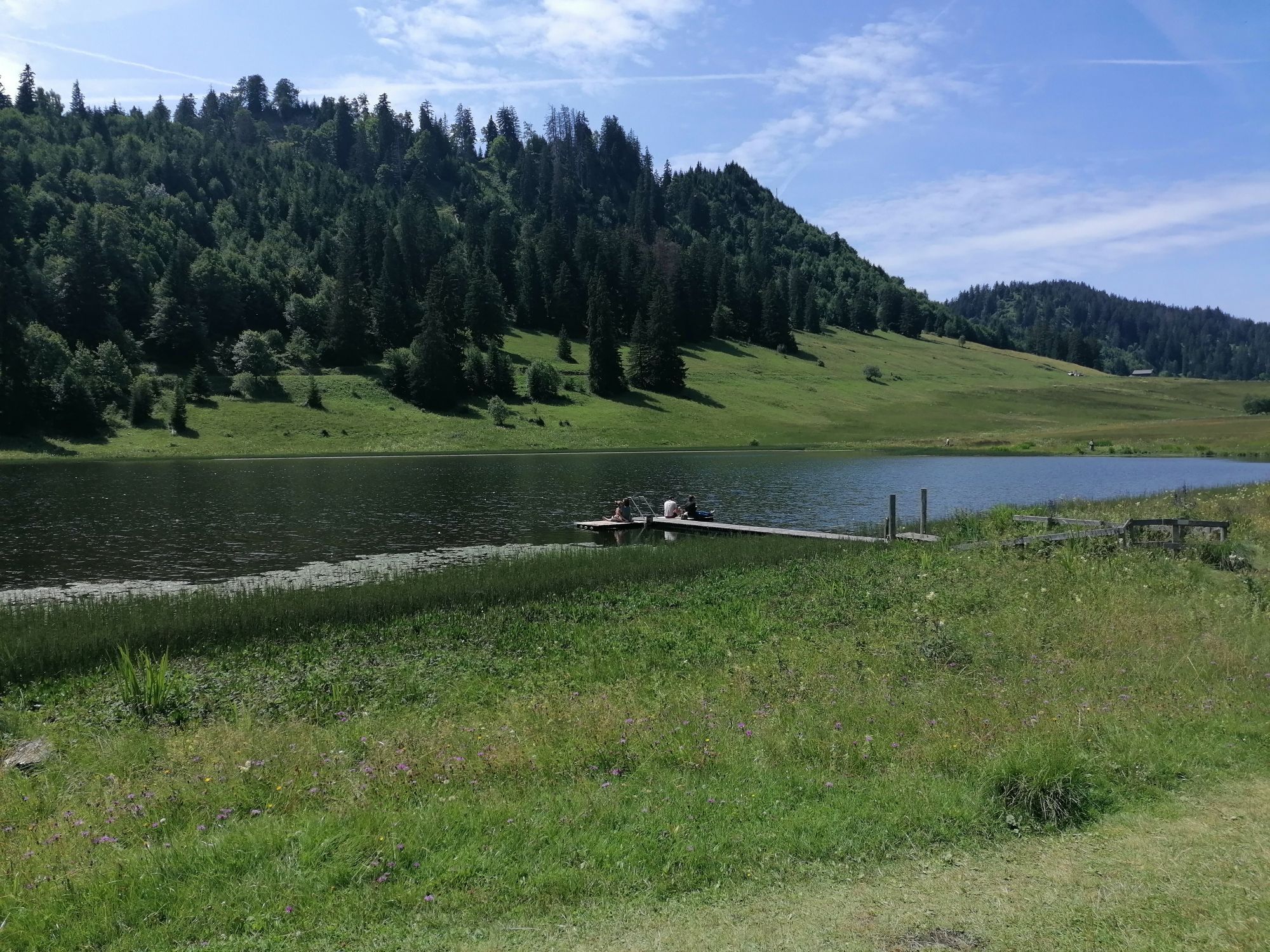
 © Melanie BechtoldCreated on 03.05.2025
 -
 © Melanie BechtoldCreated on 03.05.2025
 -
 © Melanie BechtoldCreated on 03.05.2025
 -

 © luyyyCreated on 23.07.2023
 -

 © R R SchmidCreated on 05.10.2022
 -
 © R R SchmidCreated on 05.10.2022
 -
 © R R SchmidCreated on 05.10.2022
 -
 © Peter WürmliCreated on 22.08.2025
 -
 © ZellwegerrogerCreated on 08.06.2025
 -
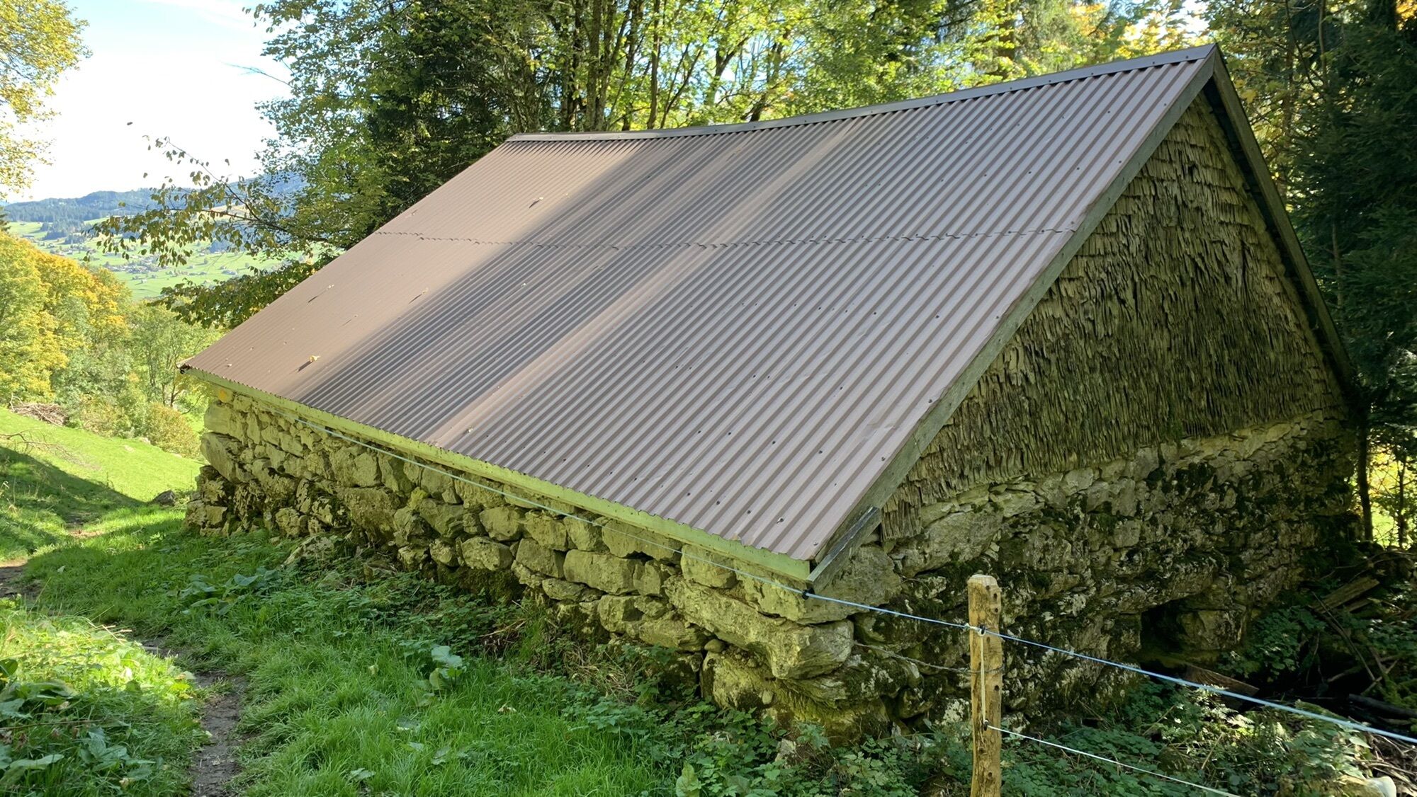
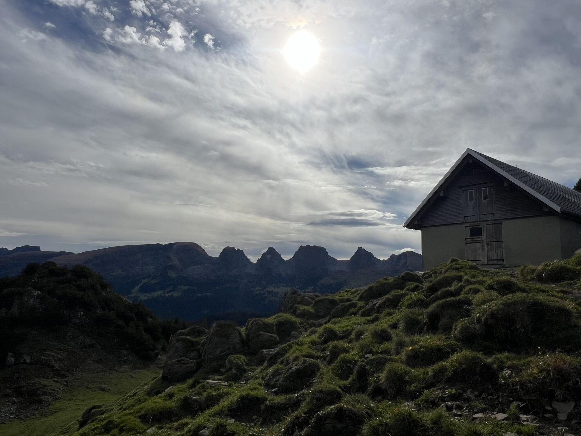
 © Peter WürmliCreated on 25.10.2024
 -
 © Peter WürmliCreated on 25.10.2024
 -
 © Peter WürmliCreated on 25.10.2024
 -
 © Peter WürmliCreated on 25.10.2024
 -
 © Peter WürmliCreated on 25.10.2024
 -
 © Peter WürmliCreated on 25.10.2024
 -
 © Peter WürmliCreated on 25.10.2024
 -
 © Peter WürmliCreated on 25.10.2024
 -
 © Peter WürmliCreated on 25.10.2024
 -
 © Peter WürmliCreated on 25.10.2024
 -
 © Peter WürmliCreated on 25.10.2024
 -
 © Peter WürmliCreated on 25.10.2024
 -
 © Peter WürmliCreated on 25.10.2024
 -
 © Peter WürmliCreated on 25.10.2024
 -
 © Peter WürmliCreated on 25.10.2024
 -
 © Peter WürmliCreated on 25.10.2024
 -
 © Peter WürmliCreated on 25.10.2024
 -
 © Peter WürmliCreated on 25.10.2024


Route
Stein SG
(855 m)
Village
0.1 km
Stelz
(889 m)
Corridor/terrain
0.3 km
Hag
(988 m)
Corridor/terrain
0.9 km
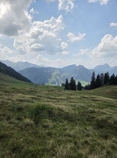
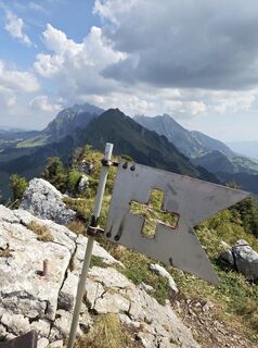
Alplispitz
(1,817 m)
Summit
6.1 km
Alpli
(1,674 m)
Corridor/terrain
6.7 km
Boden-Berg
(1,063 m)
Settlement
12.3 km
Alt St. Johann
(890 m)
Village
13.3 km
Route
Stein SG - Alplispitz - Boden-Berg - Alt St. Johann
heavy
Hiking
13.32
km
Stein SG
(855 m)
Village
0.1 km
Sonnenhalb
(868 m)
Corridor/terrain
0.2 km
Stelz
(889 m)
Corridor/terrain
0.3 km
Hütten
(935 m)
Corridor/terrain
0.7 km
Hag
(988 m)
Corridor/terrain
0.9 km
Rueboden
(1,232 m)
Corridor/terrain
2.0 km
Risi
(1,439 m)
Corridor/terrain
3.6 km
Alplispitz
(1,817 m)
Summit
6.1 km
Alpli
(1,674 m)
Corridor/terrain
6.7 km
Risi
(1,325 m)
Corridor/terrain
10.6 km
Böstritt
(1,334 m)
Corridor/terrain
10.9 km
Boden-Berg
(1,063 m)
Settlement
12.3 km
Gugger
(962 m)
Corridor/terrain
12.9 km
Alt St. Johann
(890 m)
Village
13.3 km
Valuations
5
(1)
4
(0)
3
(0)
2
(0)
1
(0)
Popular tours in the neighbourhood
-
4.7
Riviera Walensee Walenstadt - Quinten
mediumHiking 10.4 km -
4.9
Säntis-Gipfeltour, Wasserauen / Appenzell Innerrhoden
heavyHiking 21.1 km -
4.6
Riviera Lake Walen Weesen – Quinten
mediumHiking 10.2 km -
4.7
Wasserauen - Seealpsee - Wasserauen
mediumHiking 7.71 km -
5.0
Staubern-Runde (15.8.2021)
mediumHiking 8.65 km -
4.5
Weesen - Quinten - Walenstadt
heavyHiking 20.6 km -
4.8
Seealpsee
mediumHiking 12.3 km -
5.0
Seealpsee Runde
mediumHiking 8.22 km -
3.0
Ebenalb, Aescher, Seealpsee, Meglisalp, Wasserauen
heavyHiking 13.6 km -
5.0
Traumhafte 3-Seen/Hütten Runde in Appenzell Schweiz
mediumHigh tour 19.7 km

Hiking & Tracking

Over 550.000 tour suggestions, detailed maps and an intuitive route planner make the app a must-have for all nature enthusiasts.

Don't miss out on offers and inspiration for your next holiday
Subscribe to the newsletter
Error
An error has occurred. Please try again.
Thank you for your registration
Your e-mail address has been added to the mailing list.
Tours throughout Europe
Austria
Switzerland
Germany
Italy
Slovenia
France
Netherlands
Belgium
Poland
Liechtenstein
Czechia
Slovakia
Spain
Croatia
Bosnia and Herzegovina
Luxembourg
Andorra
Portugal
Iceland
United Kingdom
Ireland
Greece
Albania
North Macedonia
Malta
Norway
Montenegro
Moldova
Kosovo
Hungary
San Marino
Romania
Estonia
Latvia
Belarus
Cyprus
Lithuania
Serbia
Bulgaria
Monaco
Denmark
Sweden
Finland