


Photos from our users
 © GabrieleCreated on 10.04.2023
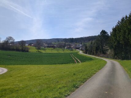 © GabrieleCreated on 10.04.2023
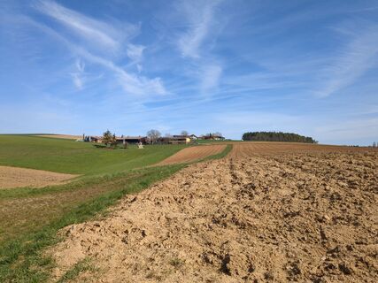 © GabrieleCreated on 10.04.2023
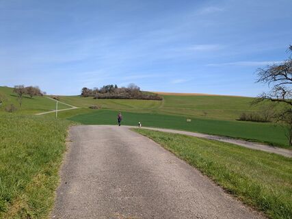 © GabrieleCreated on 10.04.2023
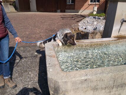 © GabrieleCreated on 10.04.2023
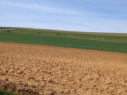 © GabrieleCreated on 10.04.2023
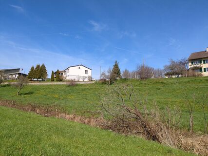 © GabrieleCreated on 10.04.2023
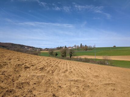 © GabrieleCreated on 10.04.2023
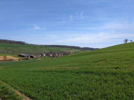 © GabrieleCreated on 10.04.2023
 © GabrieleCreated on 10.04.2023
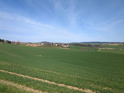 © GabrieleCreated on 10.04.2023
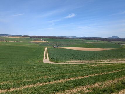 © GabrieleCreated on 10.04.2023
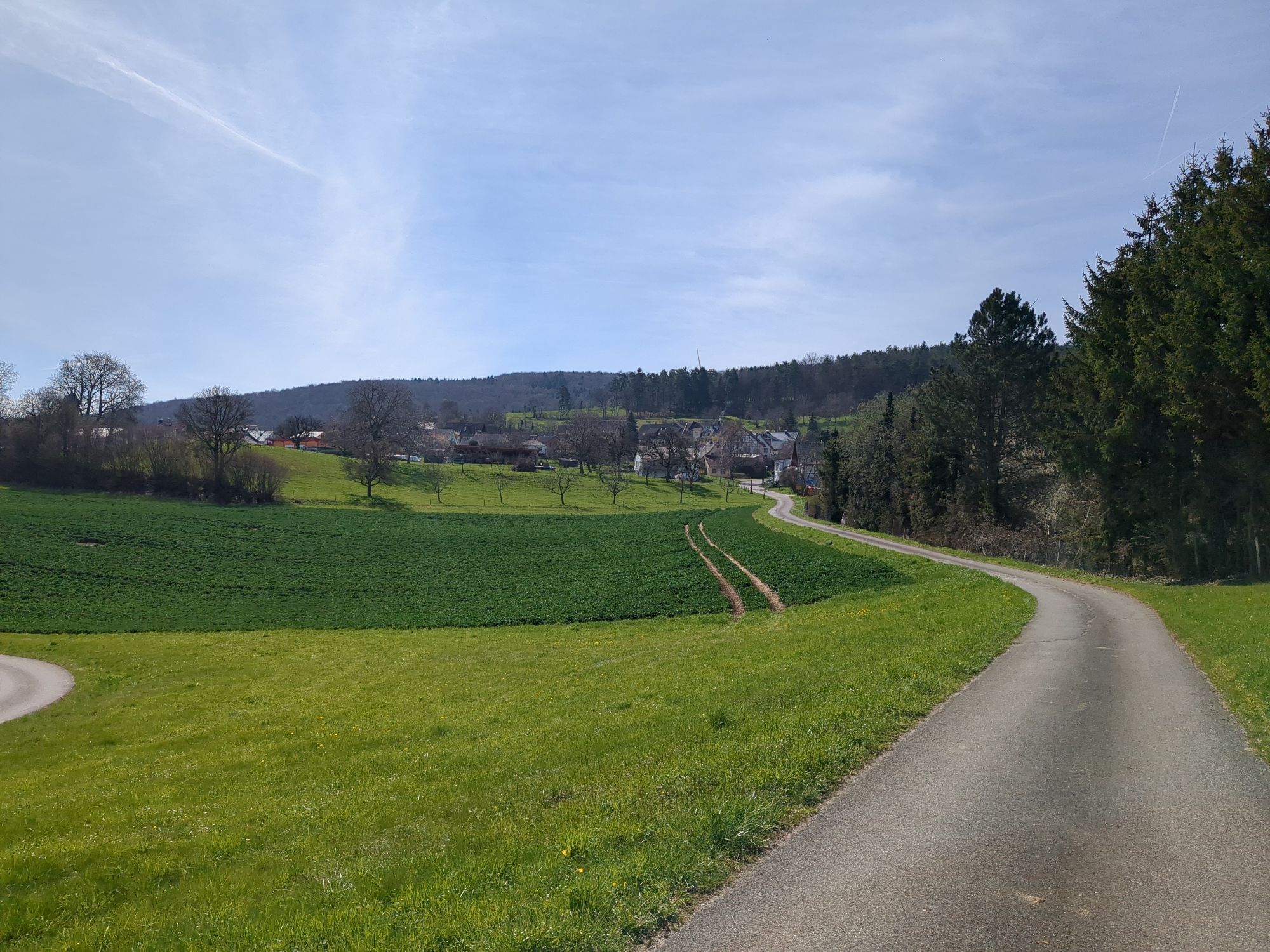


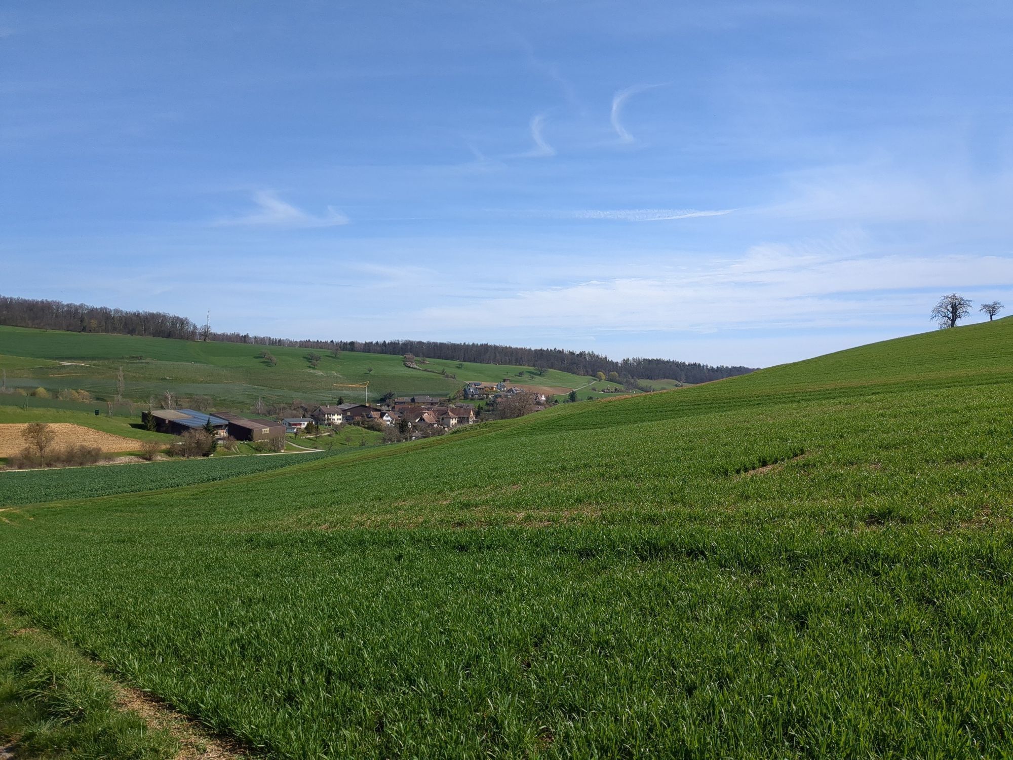
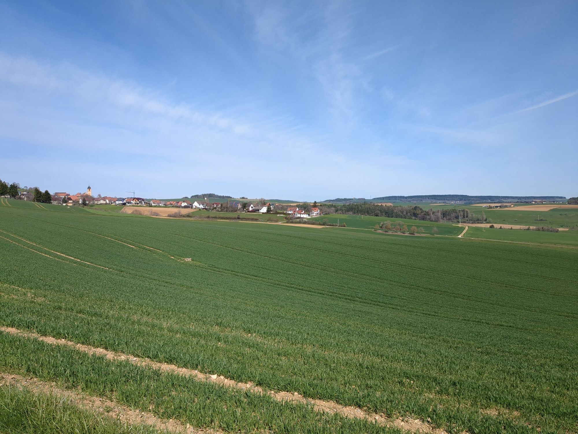
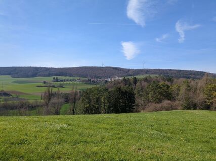
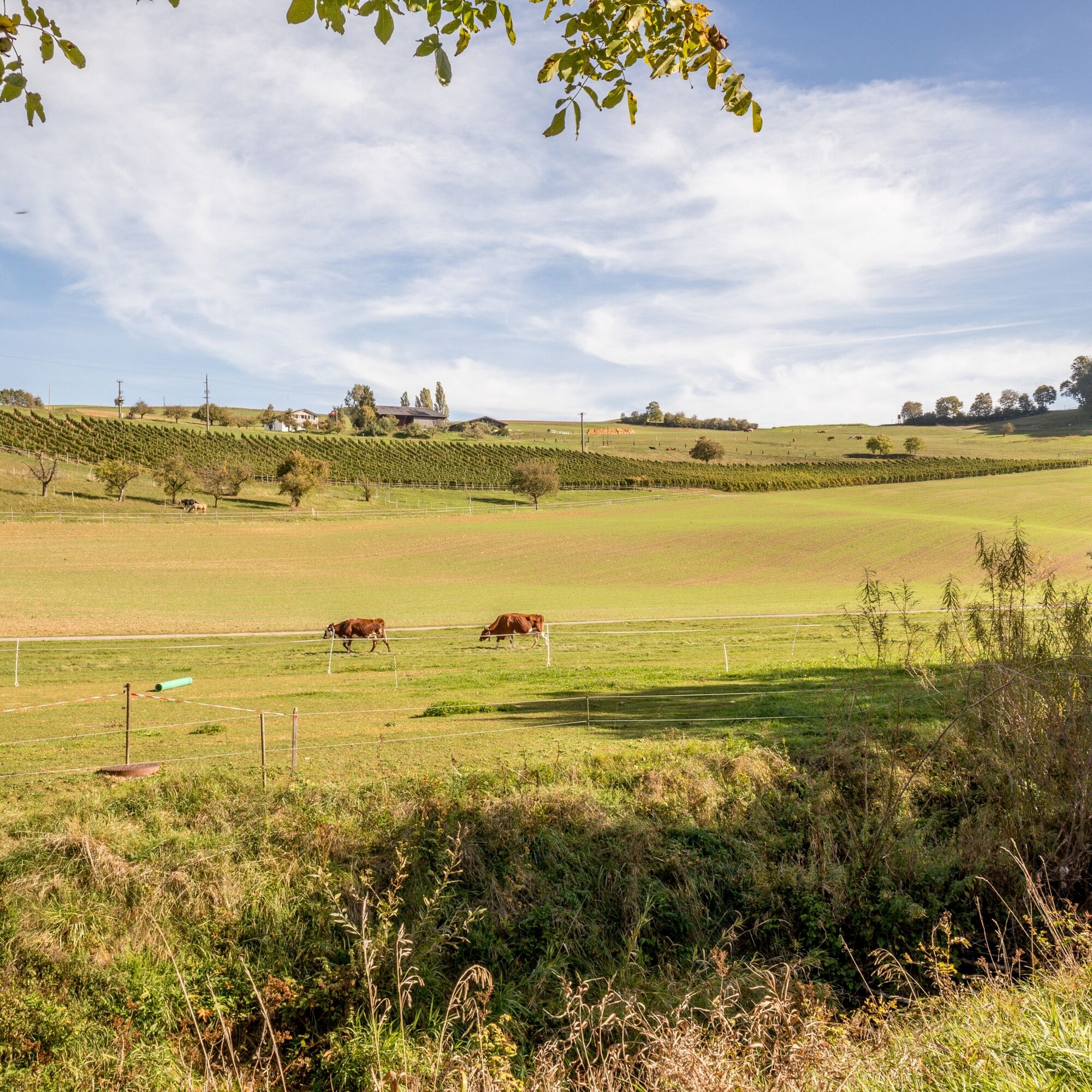
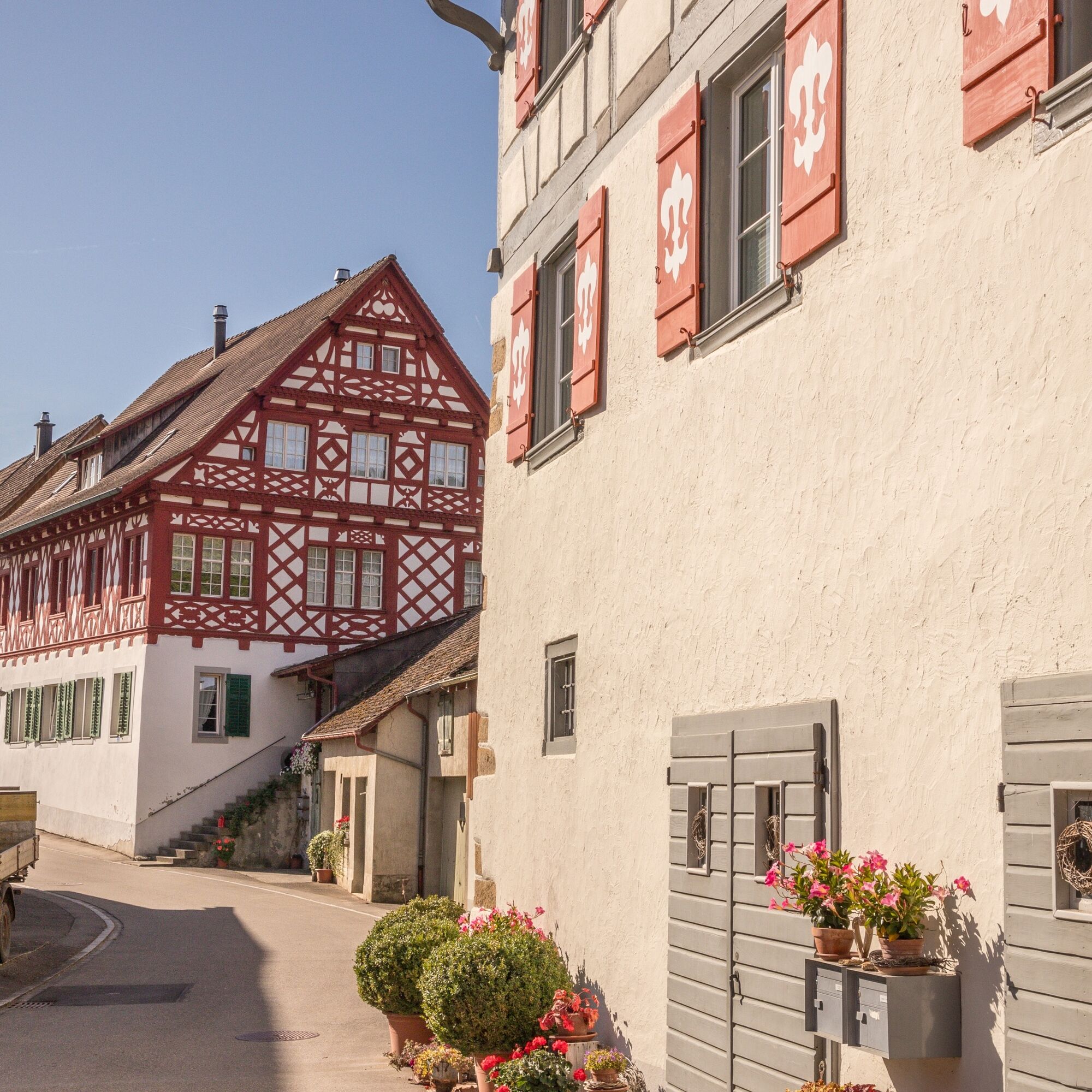
The Reiat is located in the northernmost part of Switzerland. A partly hilly region with plenty of unspoilt nature and small villages with characteristic village centres and old half-timbered houses.
The...
The Reiat is located in the northernmost part of Switzerland. A partly hilly region with plenty of unspoilt nature and small villages with characteristic village centres and old half-timbered houses.
The recommended starting point for the Reiat Trail is the municipality of Thayngen, which is also the main town in the Schaffhausen Reiat.
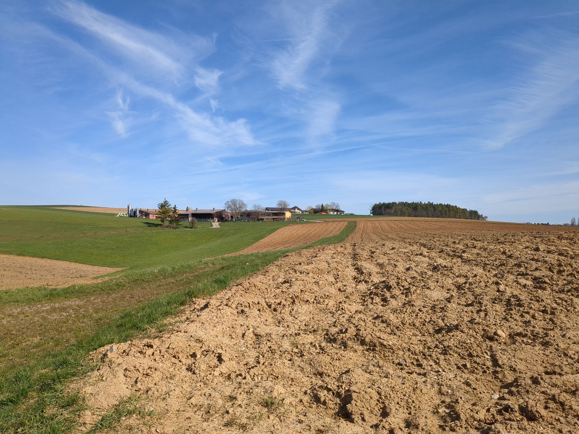
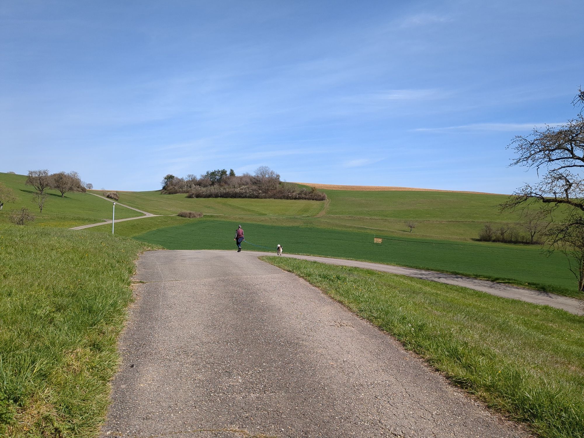
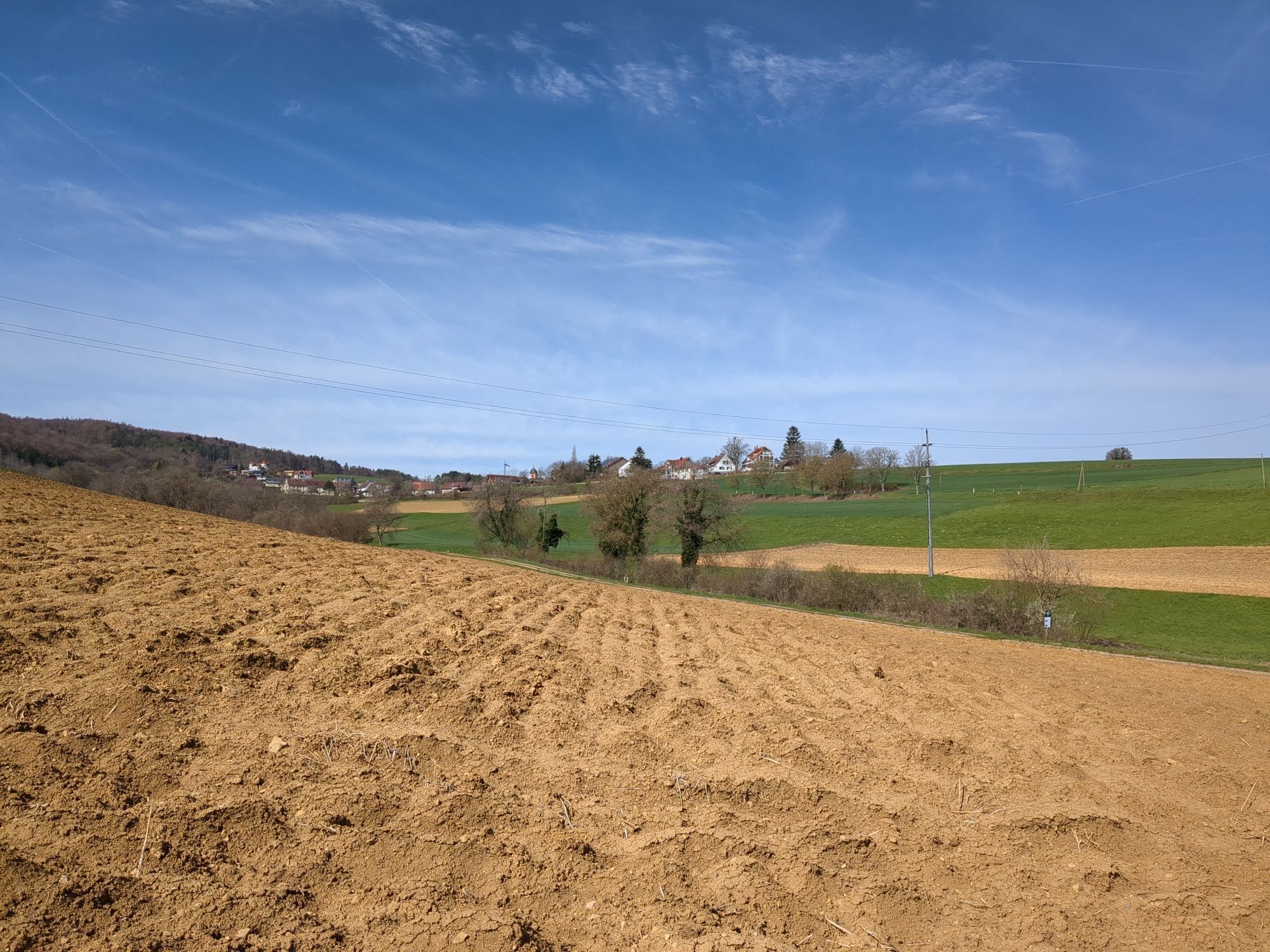
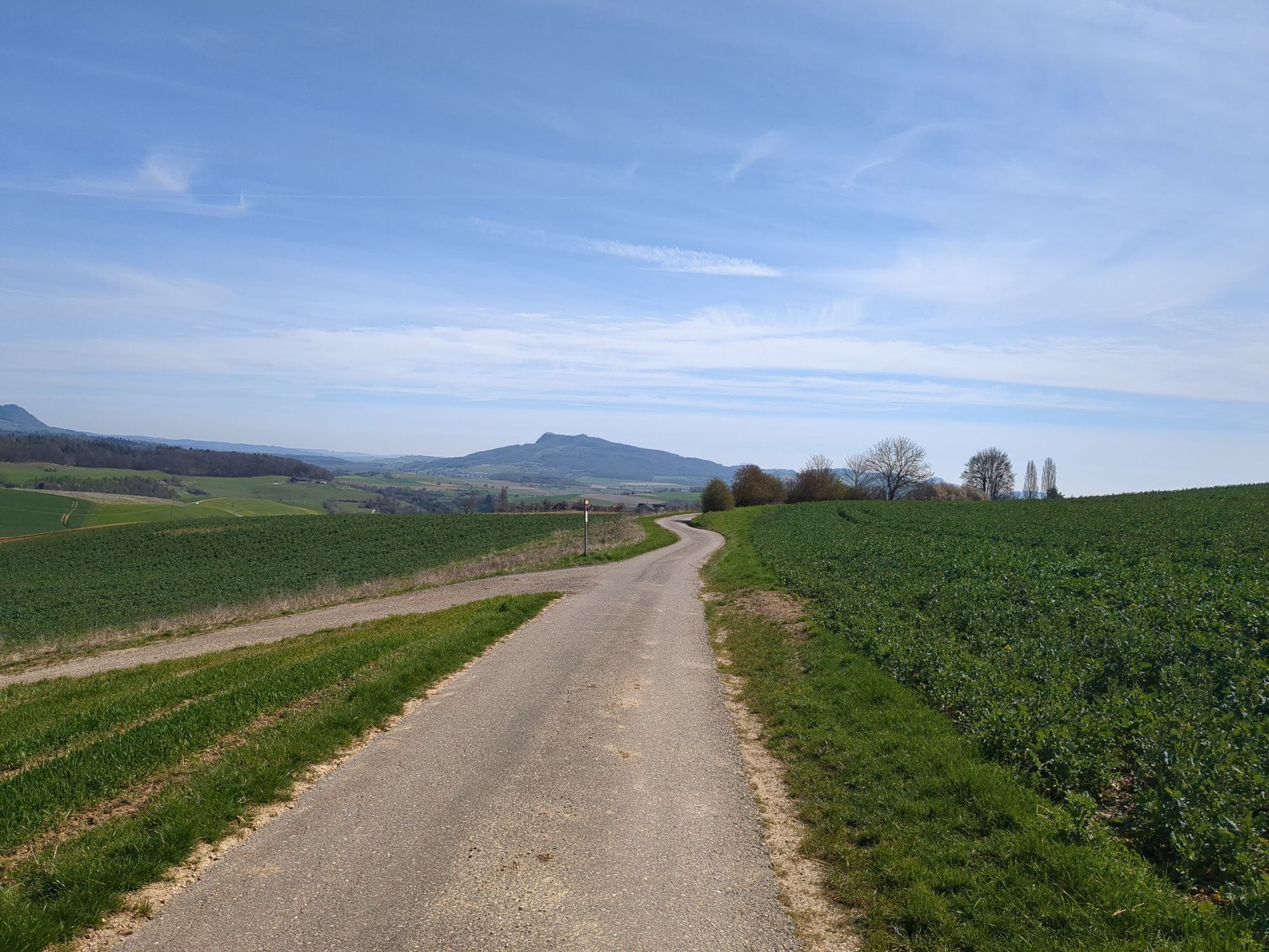
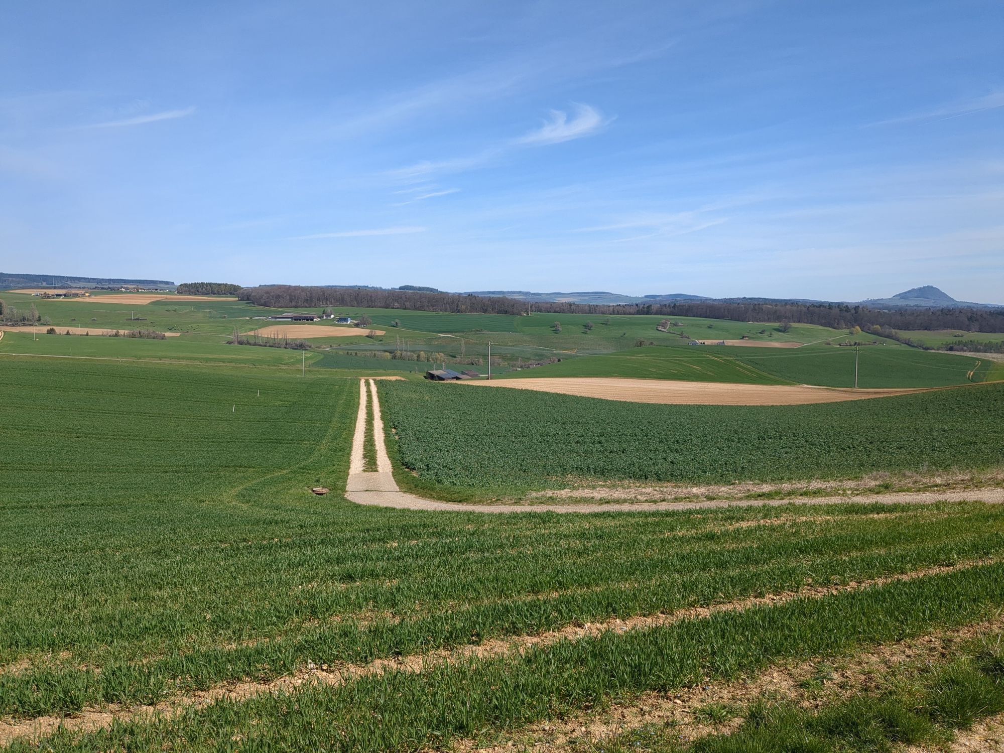
During this hike, mixed forests, vineyards, fields and meadows alternate again and again. After a gentle ascent through the Bibertal valley, you reach the hills of the Hegau.
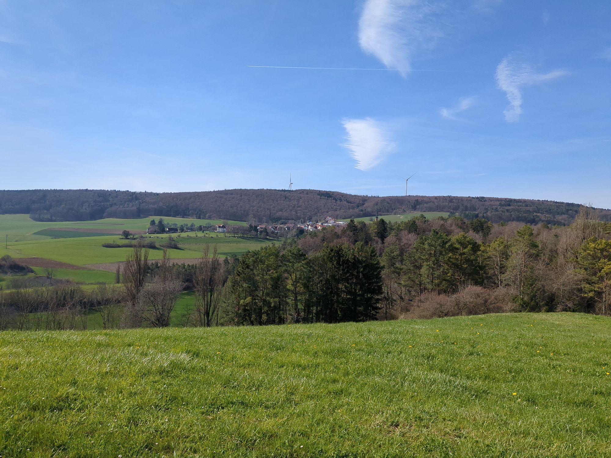
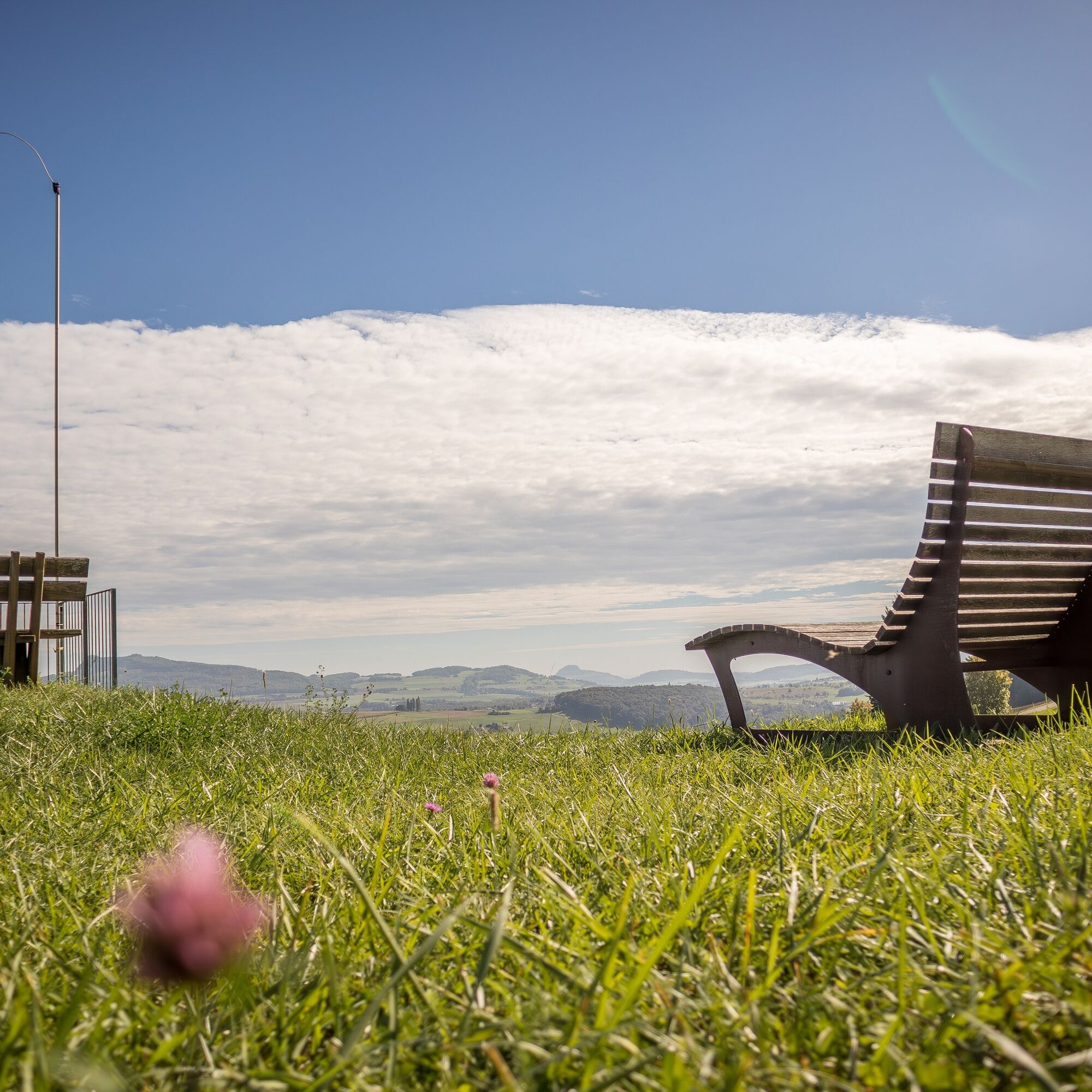
From here, you can enjoy an unforgettable panoramic view from the volcanoes in Hegau across the Mittelland to the Swiss Alps.
This view is best enjoyed lying on the "Reiatraum loungers" at the "Chuttler" barbecue site or on the spacious terrace of the Restaurant Reiatblick in Opfertshofen.
You can reach Switzerland's northernmost vineyard slope in the municipality of Altdorf along old smugglers' paths. The calcareous soils here offer excellent conditions for the vines and the winegrowers to later press one of the famous full-bodied and fruity Schaffhausen Pinot Noirs.
The route leads back to the starting point in Thayngen along narrow paths.


The recommended starting point for the Reiatweg is the municipality of Thayngen, which is also the main town in the Schaffhausen Reiat.
During this hike, mixed forests, vineyards, fields and meadows alternate again and again. After a gentle ascent through the Bibertal valley, you reach the hills of the Hegau.
From here, you can enjoy an unforgettable panoramic view from the volcanoes in Hegau across the Mittelland to the Swiss Alps.
This view is best enjoyed lying on the "Reiatraum loungers" at the "Chuttler" barbecue site or on the spacious terrace of the Restaurant Reiatblick in Opfertshofen.
You can reach the northernmost vineyard slope in Switzerland in the municipality of Altdorf along old smugglers' paths. The calcareous soils here offer excellent conditions for the vines and the winegrowers to later press one of the famous full-bodied and fruity Schaffhausen Pinot Noirs.
The route leads back to the starting point in Thayngen along narrow paths.
Good footwear, drinks and snacks for in between.
Starting point: Thayngen Hüttenleben bus stop
Route planner
Starting point: Thayngen Hüttenleben bus stop
From Schaffhausen: departs once an hour, duration 26 min. (change from train to bus at Thayngen railway station)
A few car parks available on site.
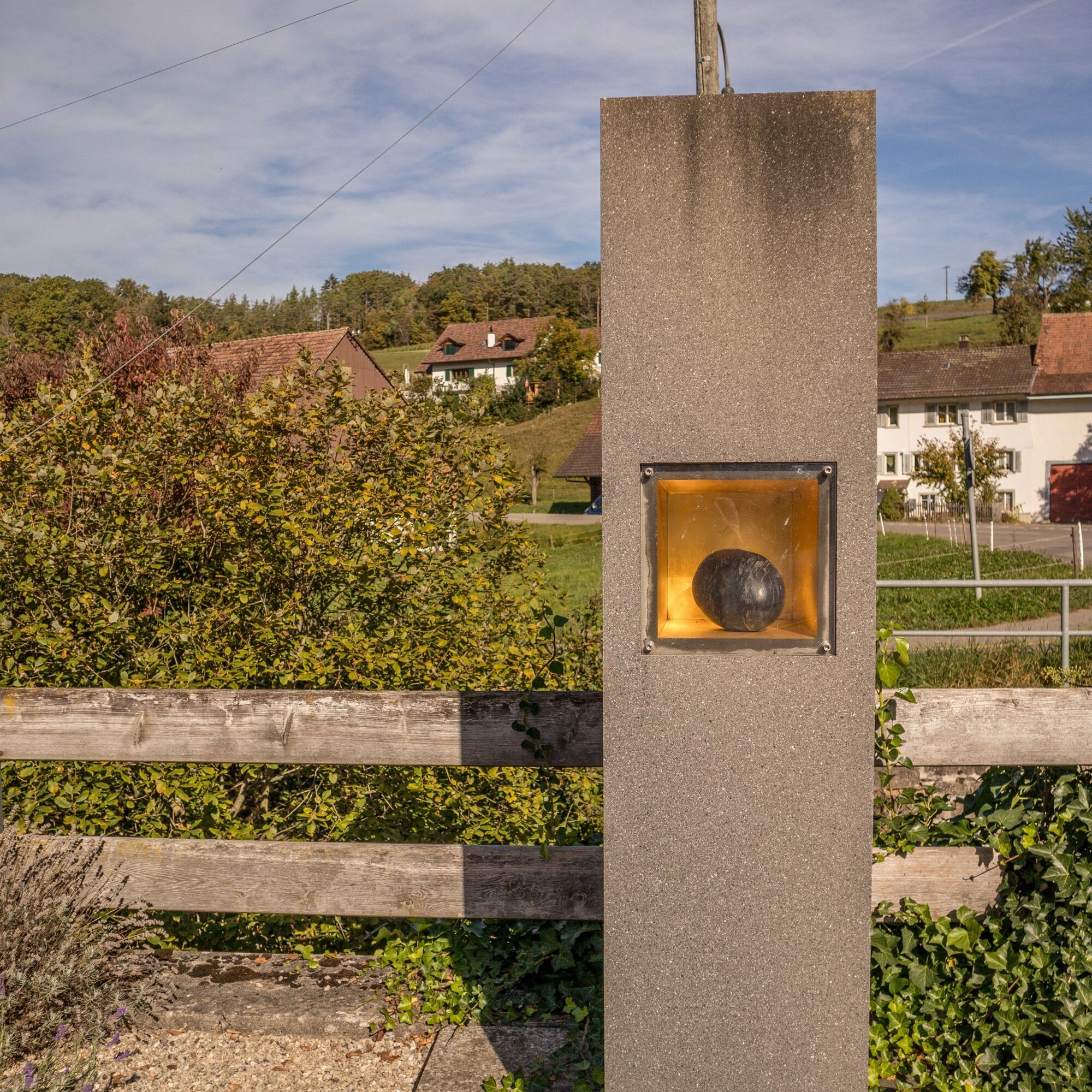
From the "Chuttler" barbecue area, you can enjoy the unique view from the "Reiatraum loungers".
Swimming pool, Thayngen
Popular tours in the neighbourhood
- 5,0
"Hegauer Kegelspiel" Stettener Panoramaweg
mediumHiking7,62 km - 4,6
Small Rheinfall Circular Route
lightHiking3,48 km - 5,0
"Hegauer Kegelspiel" Alter Postweg
mediumHiking9,26 km - 3,5
"Hegauer Kegelspiel" Wannenberg hike
mediumHiking9,35 km Castle trail 1 - From Tengen via Blumenfeld and back via Büßlingen
mediumHiking10,1 km- 5,0
"Hegauer Kegelspiel" Hohentwieler
mediumHiking7,21 km Hike to the highest point of Schaffhausen
mediumHiking10,1 kmVolcano - Enjoy Hegau - On the tracks of the world champions! 50 km
mediumMountainbike49,5 km"Hegauer Kegelspiel" Hegau Volcano Tour
heavyHiking29,2 kmKleie Rheinfallrunde
lightHiking3,82 km

Hiking & Tracking


Don't miss out on offers and inspiration for your next holiday
Your e-mail address has been added to the mailing list.