- Brief description
-
Over the highest point of Schaffhausen to the northernmost municipality in Switzerland. This hike allows you to experience the full richness of the Randen.
- Difficulty
-
medium
- Rating
-
- Starting point
-
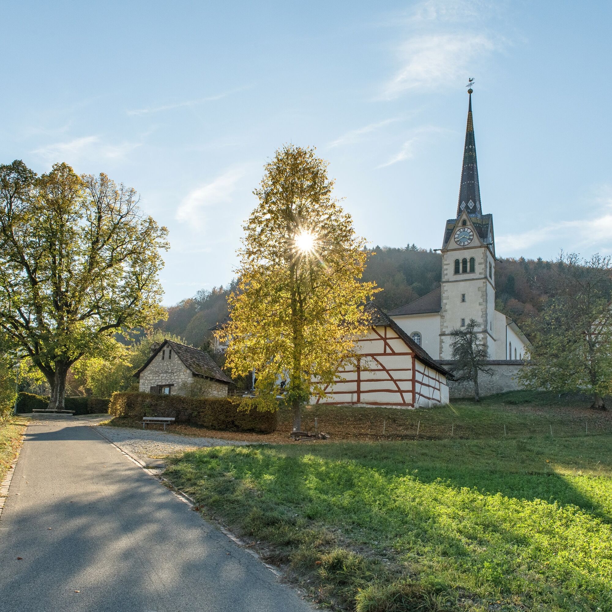
Merishausen - St. Martin's Church car park
- Route
-
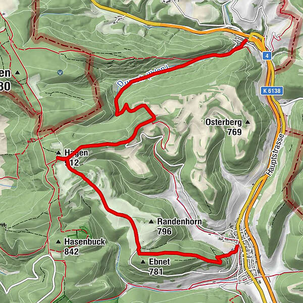
Merishausen (533 m)Reformierte Kirche St. Martin0.1 kmKadettenhütte3.6 kmHagenturm (909 m)4.3 kmHagen4.3 kmBargen (605 m)10.0 km
- Best season
-
JanFebMarAprMayJunJulAugSepOctNovDec
- Description
-
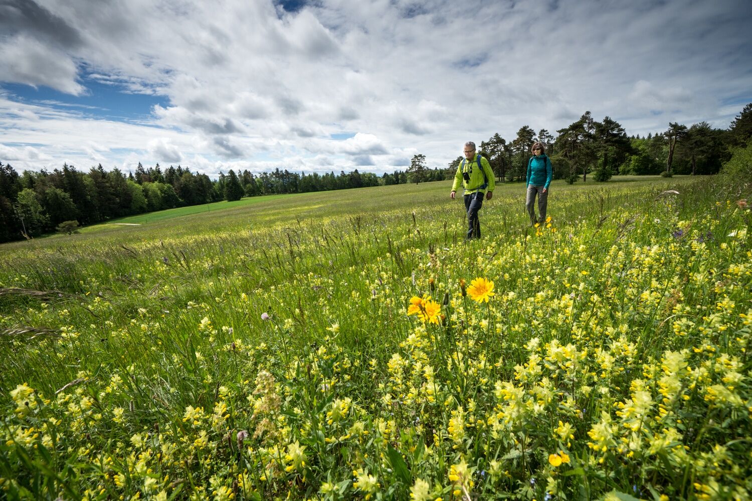
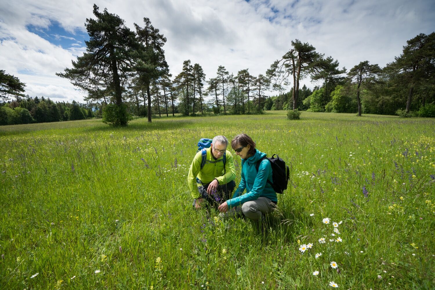
The region around Merishausen is known for its very rare and beautiful flora and fauna. Nature lovers can enjoy many wild flowering plants and ferns. This circular hike allows you to experience the full richness of the Randen. The highlight of this hike is the Hagenturm, the highest point in Schaffhausen. When the weather is fine, you have a fantastic view over the region.
There are refreshment stops in both villages.
- Directions
-
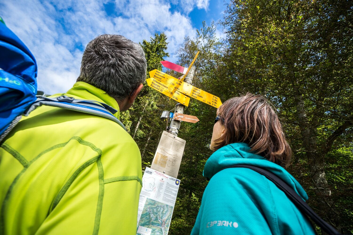
The starting point of the hike is the car park below the church in the municipality of Merishausen.
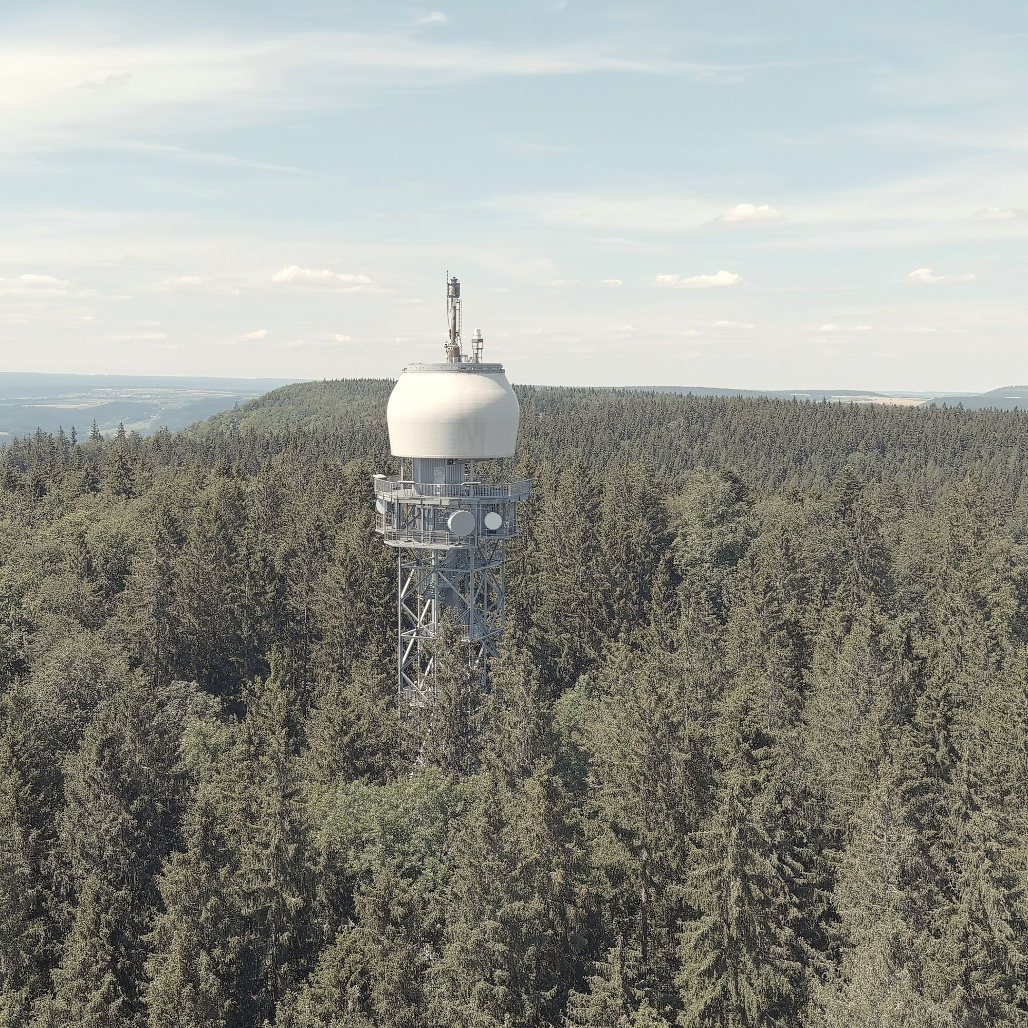
The ascent up to the Randen plateau to the Hagenturm is quite steep in places. After all, the view from the Hagenturm tower as far as the Swiss Plateau has to be earned.
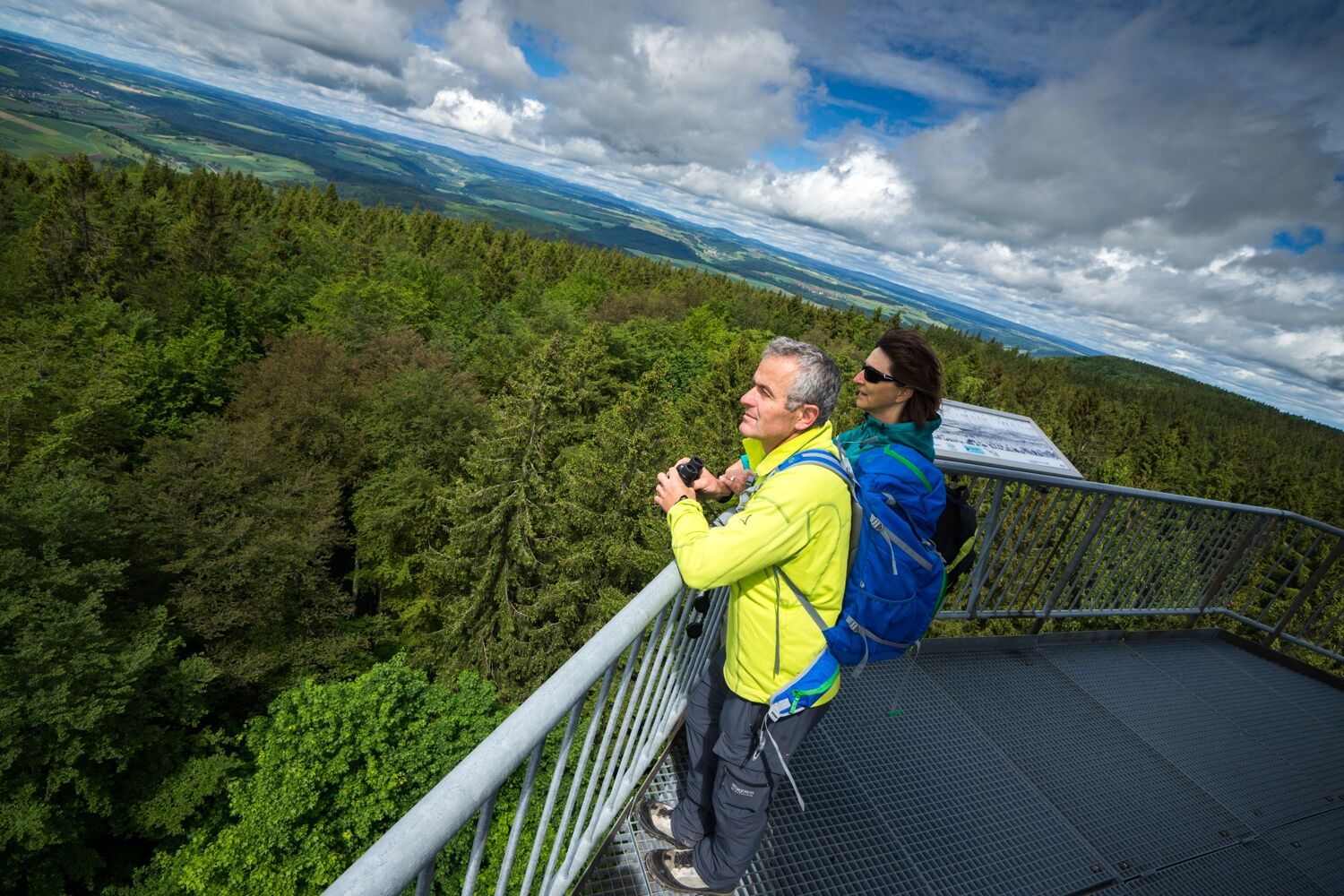
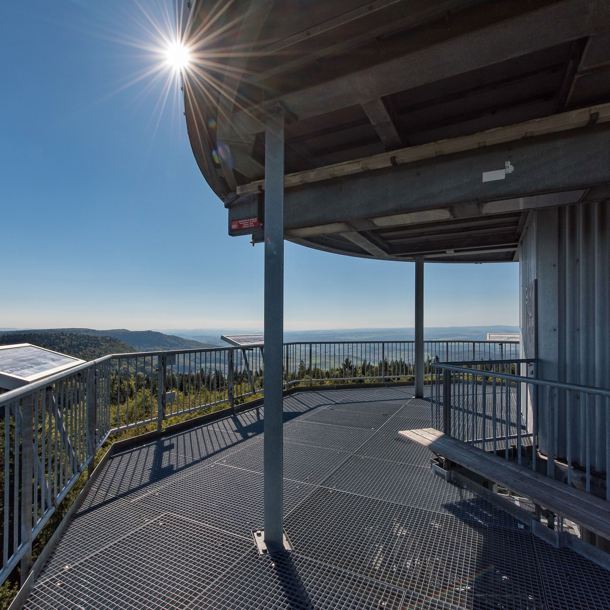
Today's tower stands at 908.5 metres above sea level at the highest point in the canton of Schaffhausen and replaced an earlier tower that was built for surveying purposes.
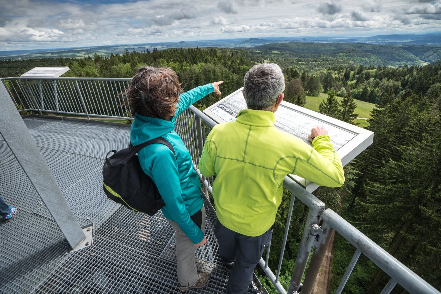
Especially in winter, you can escape the fog and enjoy the panoramic view in the sunshine from the viewing platform, which has seating and four panoramic information boards. This can be reached via 225 steps.
From the Hagenturm, the trail continues along the Ättenberg towards the Iblenquelle spring. This is the source of the Durach, which from here makes its way through the valley to Schaffhausen, where it flows into the Rhine.
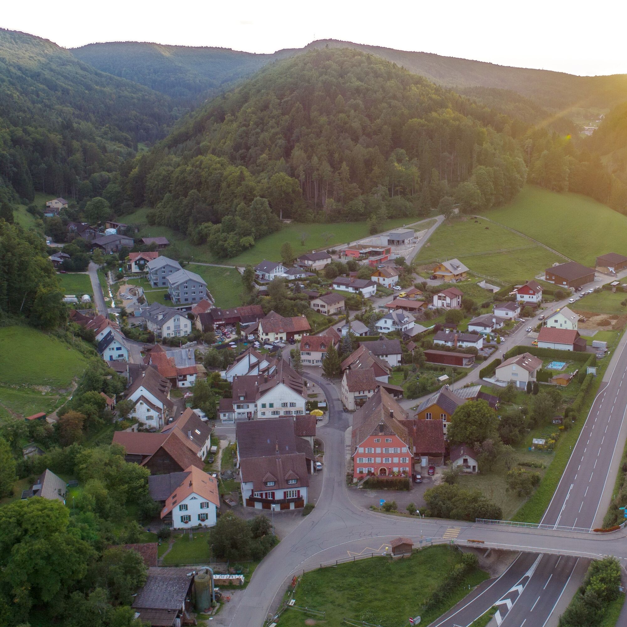
Through the damp Müli valley, we then reach our destination of Bargen, the northernmost municipality in Switzerland.
- Highest point
- 907 m
- Endpoint
-
Bargen, village centre
- Height profile
-
 © outdooractive.com
 - Equipment
-
Good shoes, drinks and snacks for in between.
- Tips
-
Take a break on the Hagenturm and enjoy the breathtaking panoramic view Hagenturm
- Additional information
- Directions
- Public transportation
- Parking
-
Large car park available at the starting point of St. Martin's Church in Merishausen.
- Author
-
The tour Hike to the highest point in Schaffhausen is used by outdooractive.com provided.


General info
-
SchaffhauserLand
1027
-
Randen
547
-
Bargen
156