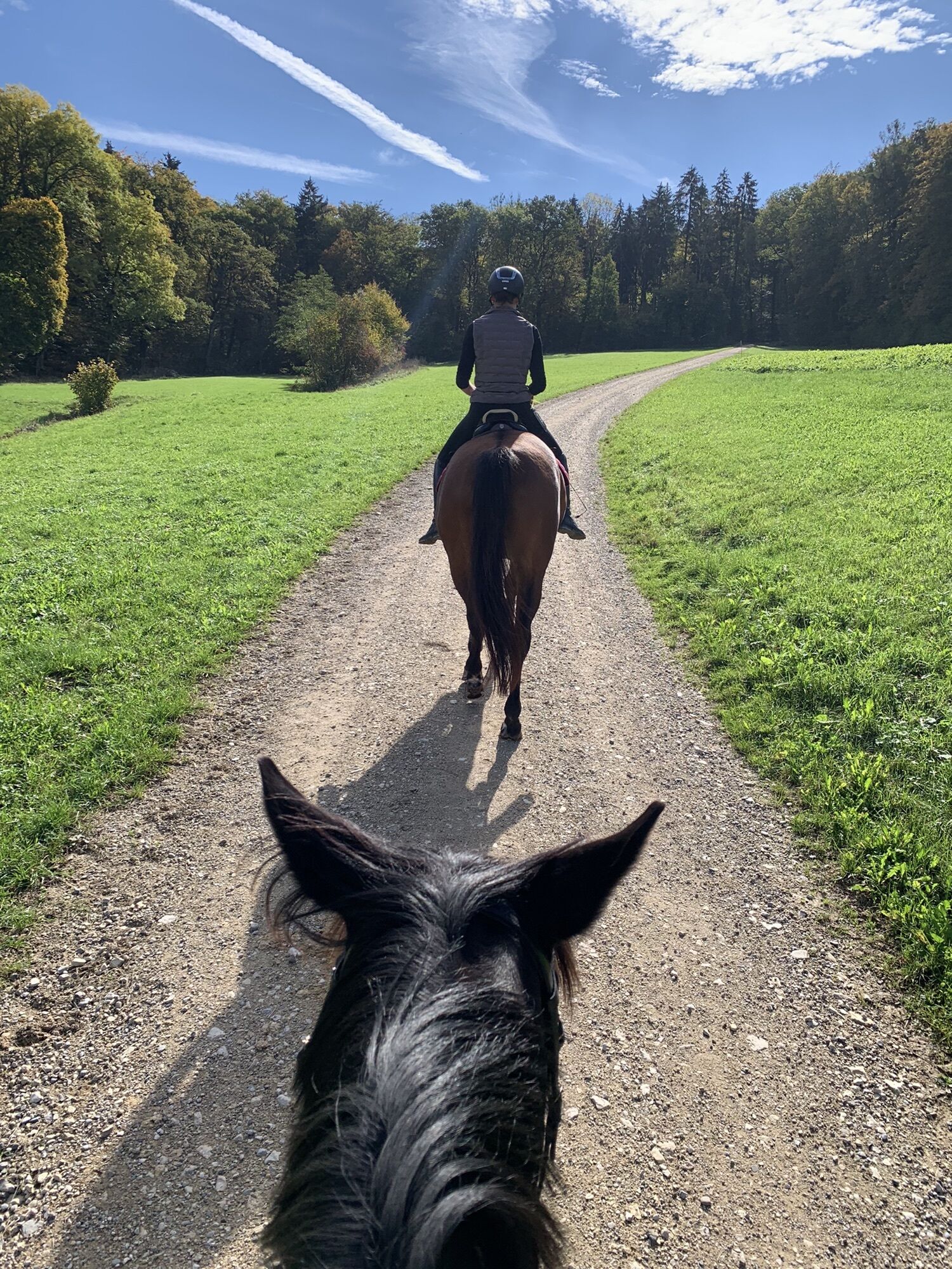
Guntmadingen- Wannenberg
medium
Navigate
Navigate
Get this tour on your mobile
Guntmadingen- Wannenberg
medium
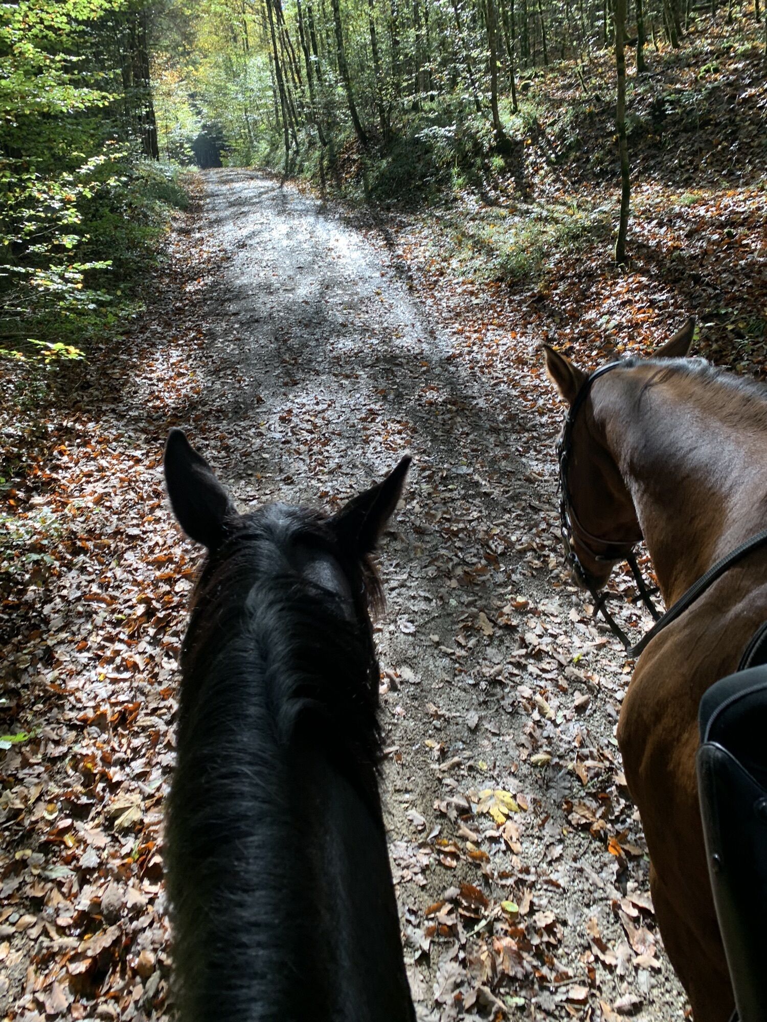
Horseriding
16,99
km
Scan the QR code and start navigation in the bergfex app

Hiking & Tracking


Distance
16,99
km
Duration
02:34
h
Ascent
389
m
Sea level
428 -
641
m
Track download
Guntmadingen- Wannenberg
medium
Horseriding
16,99
km


Route
Guntmadingen
(439 m)
Village
0,4 km
Klangreservoir
(546 m)
Viewpoint
7,1 km
Schneeschmelzi
(598 m)
Corridor/terrain
13,0 km
Guntmadingen
(439 m)
Village
16,4 km
Route
Guntmadingen- Wannenberg
medium
Horseriding
16,99
km
Guntmadingen
(439 m)
Village
0,4 km
Klangreservoir
(546 m)
Viewpoint
7,1 km
Schneeschmelzi
(598 m)
Corridor/terrain
13,0 km
Guntmadingen
(439 m)
Village
16,4 km

No reviews yet
Popular tours in the neighbourhood
- 4,6
Small Rheinfall Circular Route
lightHiking3,48 km - 4,8
Rundwanderweg Rheinau
lightHiking6,85 km Hike to the highest point of Schaffhausen
mediumHiking10,1 kmKleie Rheinfallrunde
lightHiking3,82 kmEglisau - Buchberg - Eglisau
lightHiking5,99 km- 4,5
SchweizMobil 593: Nordspitze Panoramaweg
mediumHiking13,7 km Chläggi-Route
heavyCycling58,1 kmStone Age Trail Route Kesslerloch-Schweizersbild
mediumThematic route11,2 kmSchweizMobil 50: Schaffhauserland Bike
mediumMountainbike161,6 km- 4,5
Nature trail Merishausen: Brown route
mediumThematic route11,4 km
Hiking & Tracking

Over 550.000 tour suggestions, detailed maps and an intuitive route planner make the app a must-have for all nature enthusiasts.

Don't miss out on offers and inspiration for your next holiday
Subscribe to the newsletter
Error
An error has occurred. Please try again.Thank you for your registration
Your e-mail address has been added to the mailing list.
Tours throughout Europe
Austria Switzerland Germany Italy Slovenia France Netherlands Belgium Poland Liechtenstein Czechia Slovakia Spain Croatia Bosnia and Herzegovina Luxembourg Andorra Portugal Iceland United Kingdom Ireland Greece Albania North Macedonia Malta Norway Montenegro Moldova Kosovo Hungary San Marino Romania Estonia Latvia Belarus Cyprus Lithuania Serbia Bulgaria Monaco Denmark Sweden Finland