


Level of difficulty: 3


In the midst of Switzerland's northernmost city stands the Munot, Schaffhausen’s landmark. In the town squares, historic, beautifully restored fountains trickle. Plenty of water is also found later in...
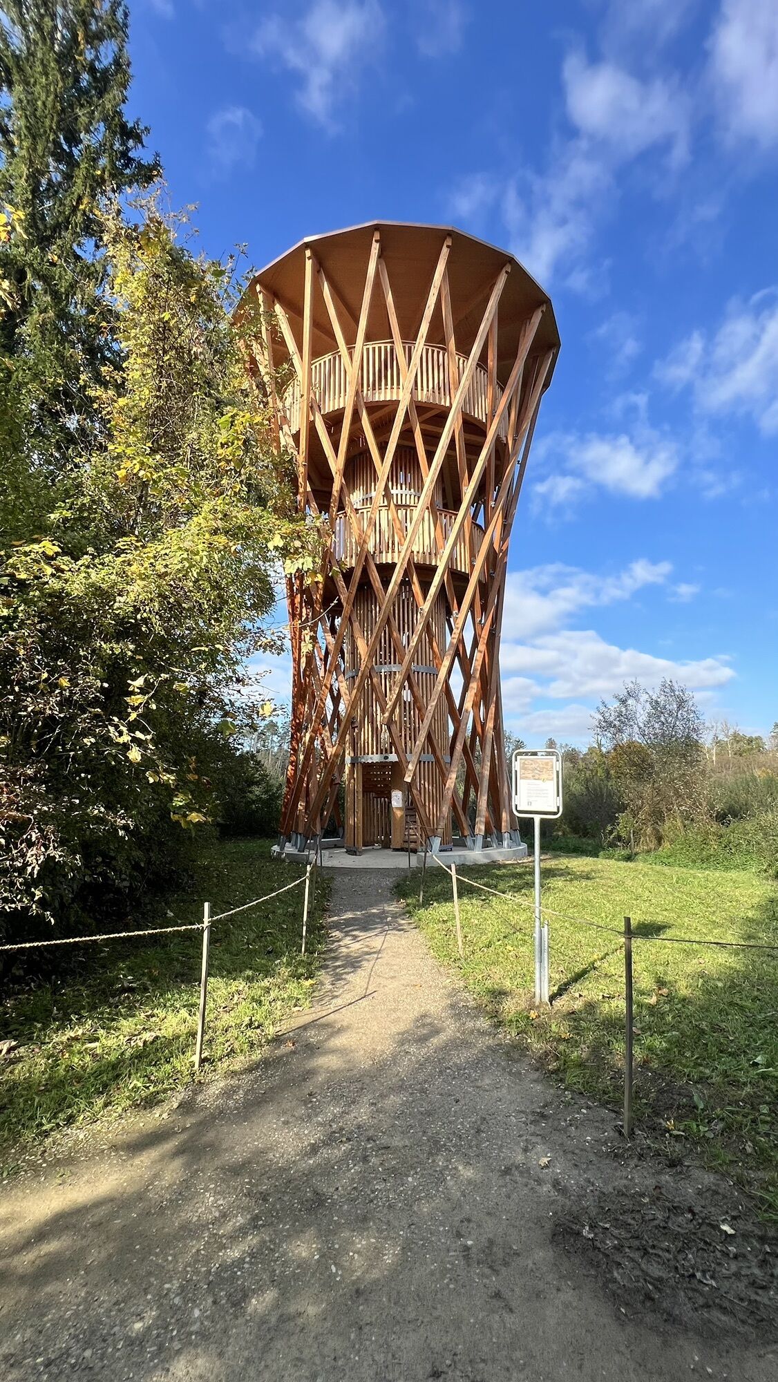
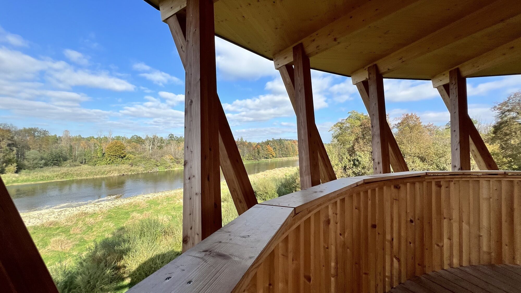
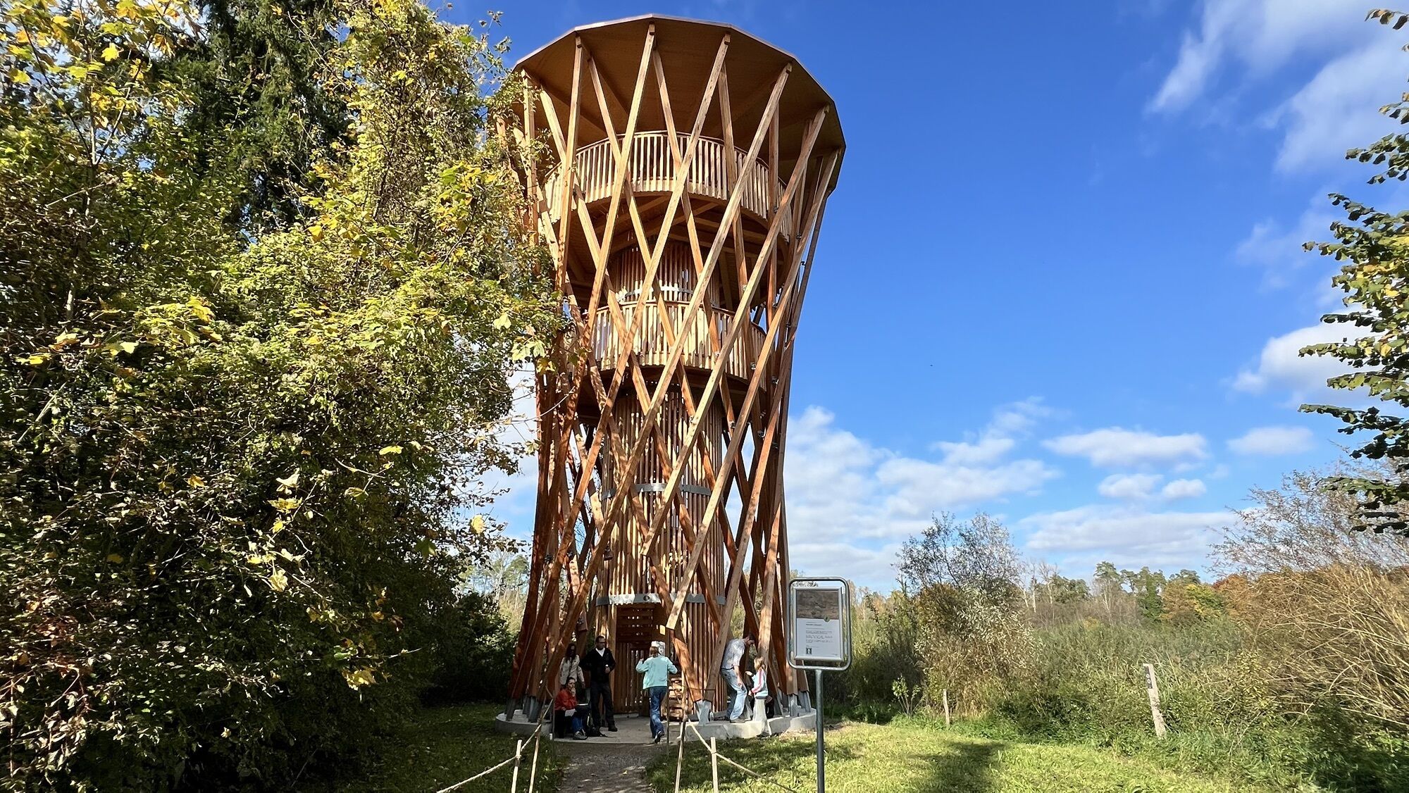
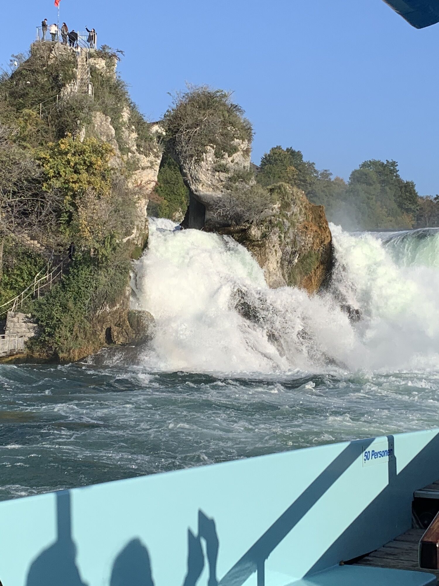
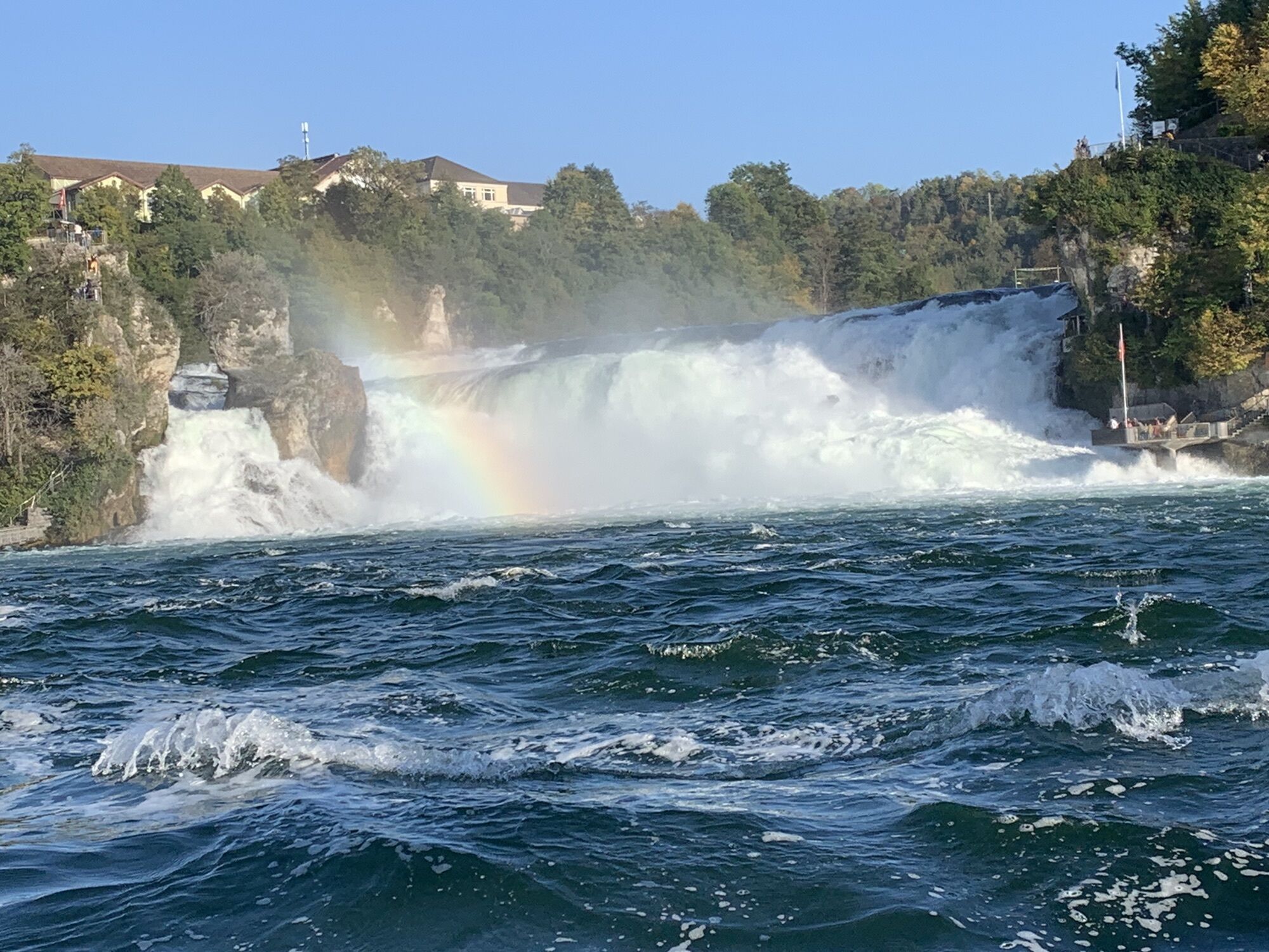
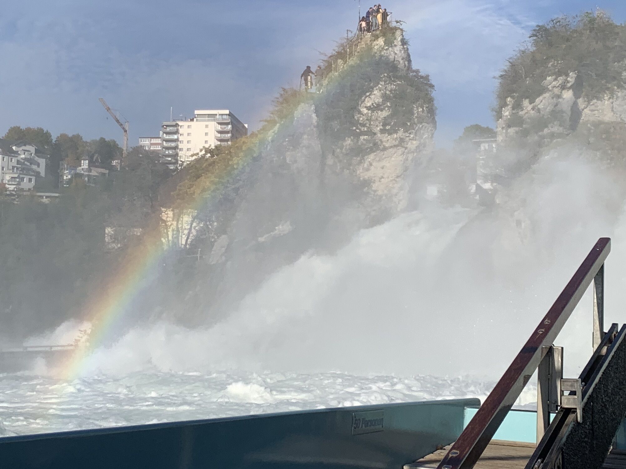
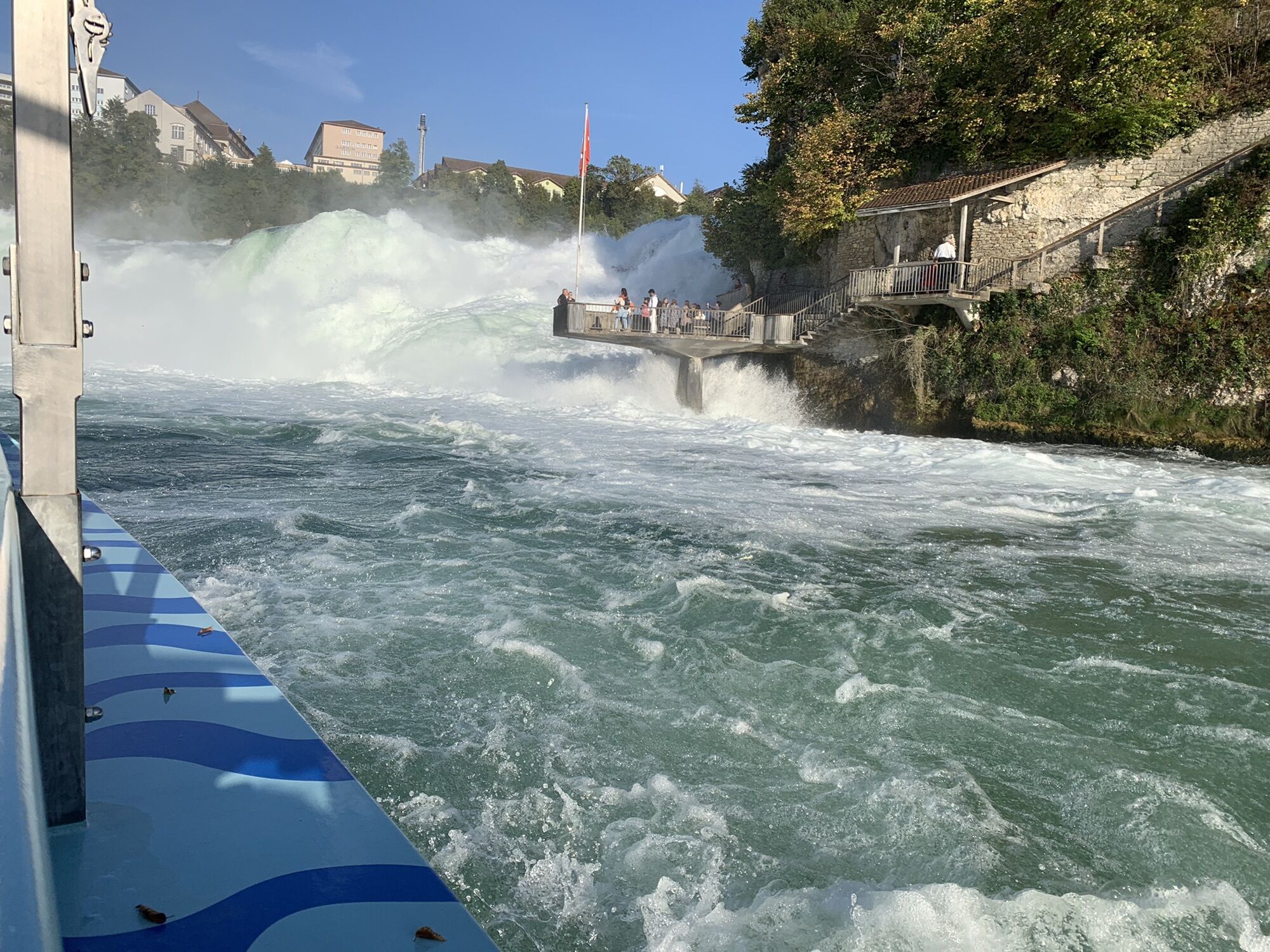
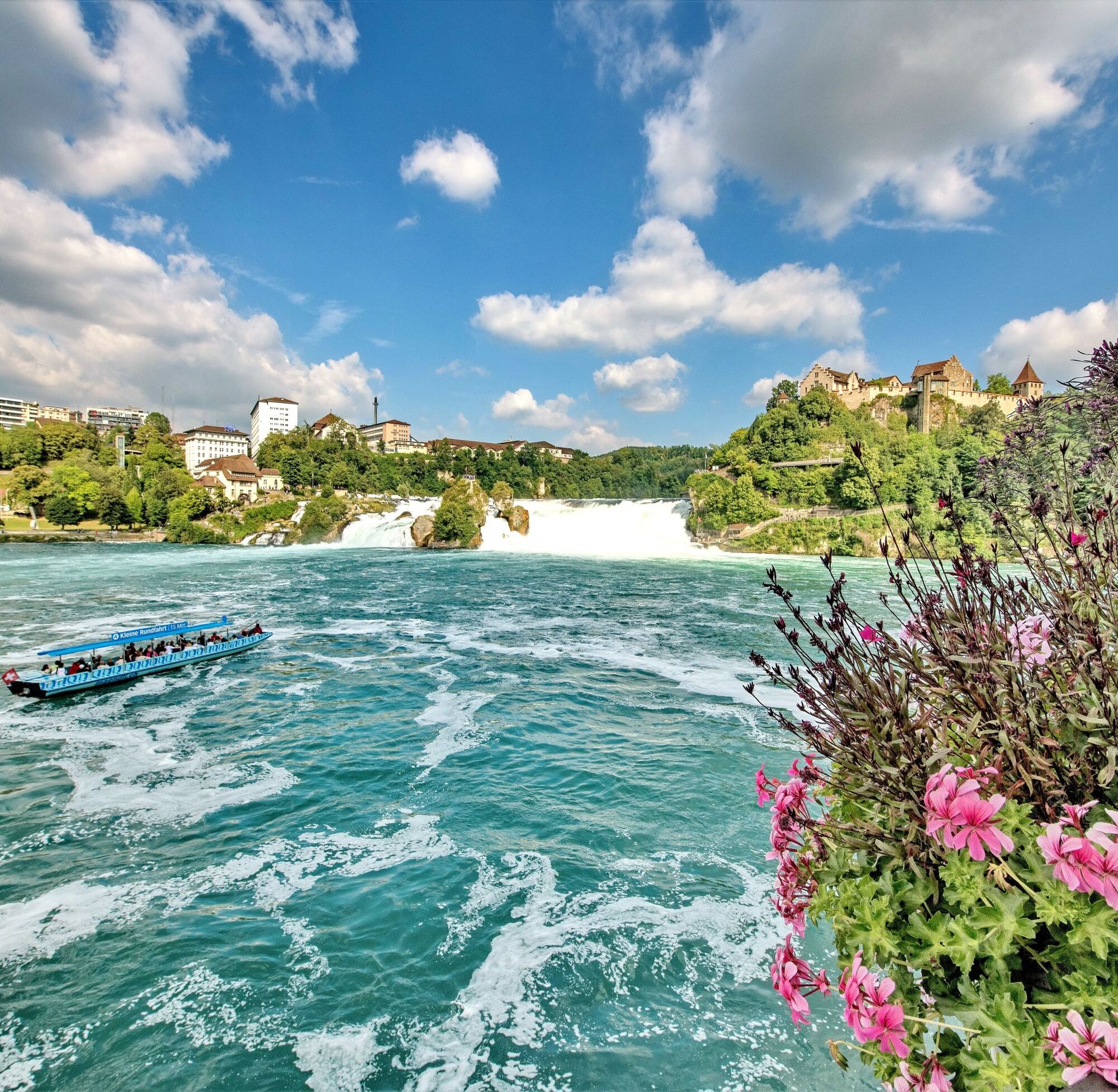
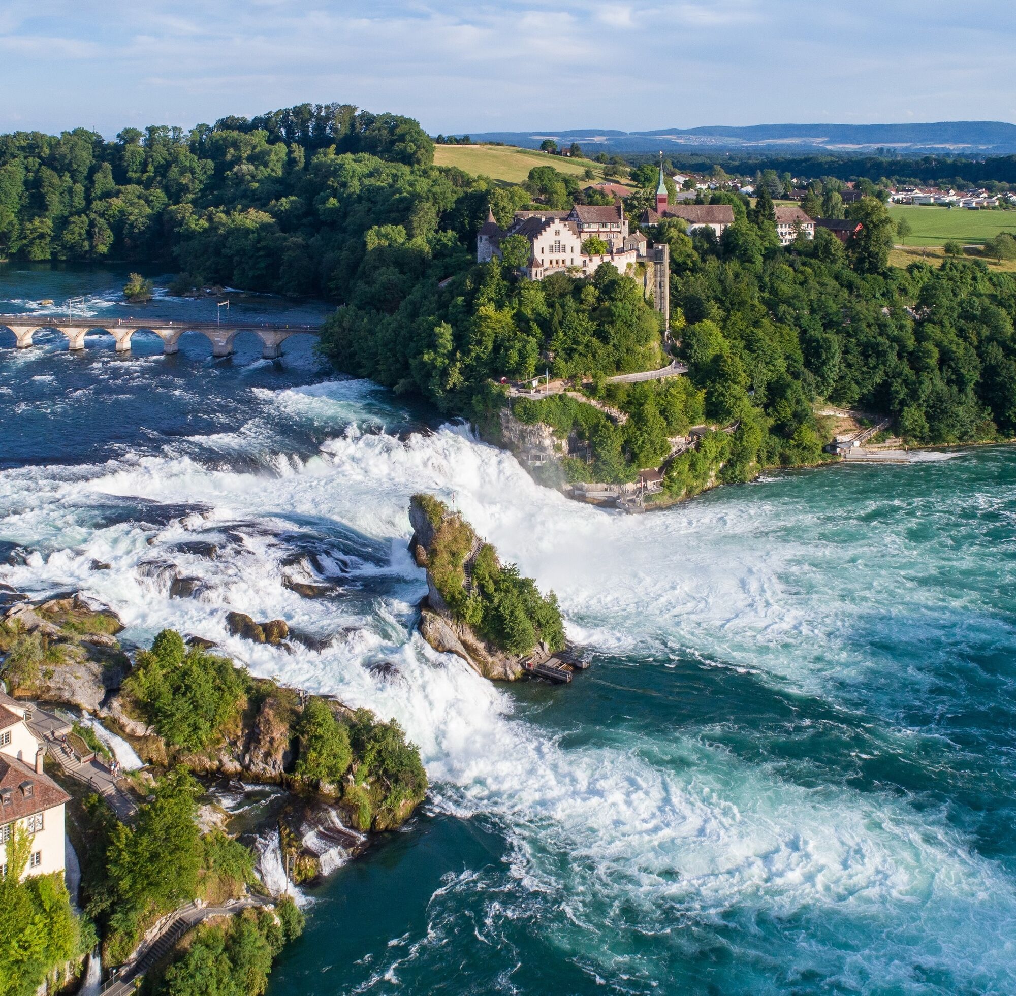
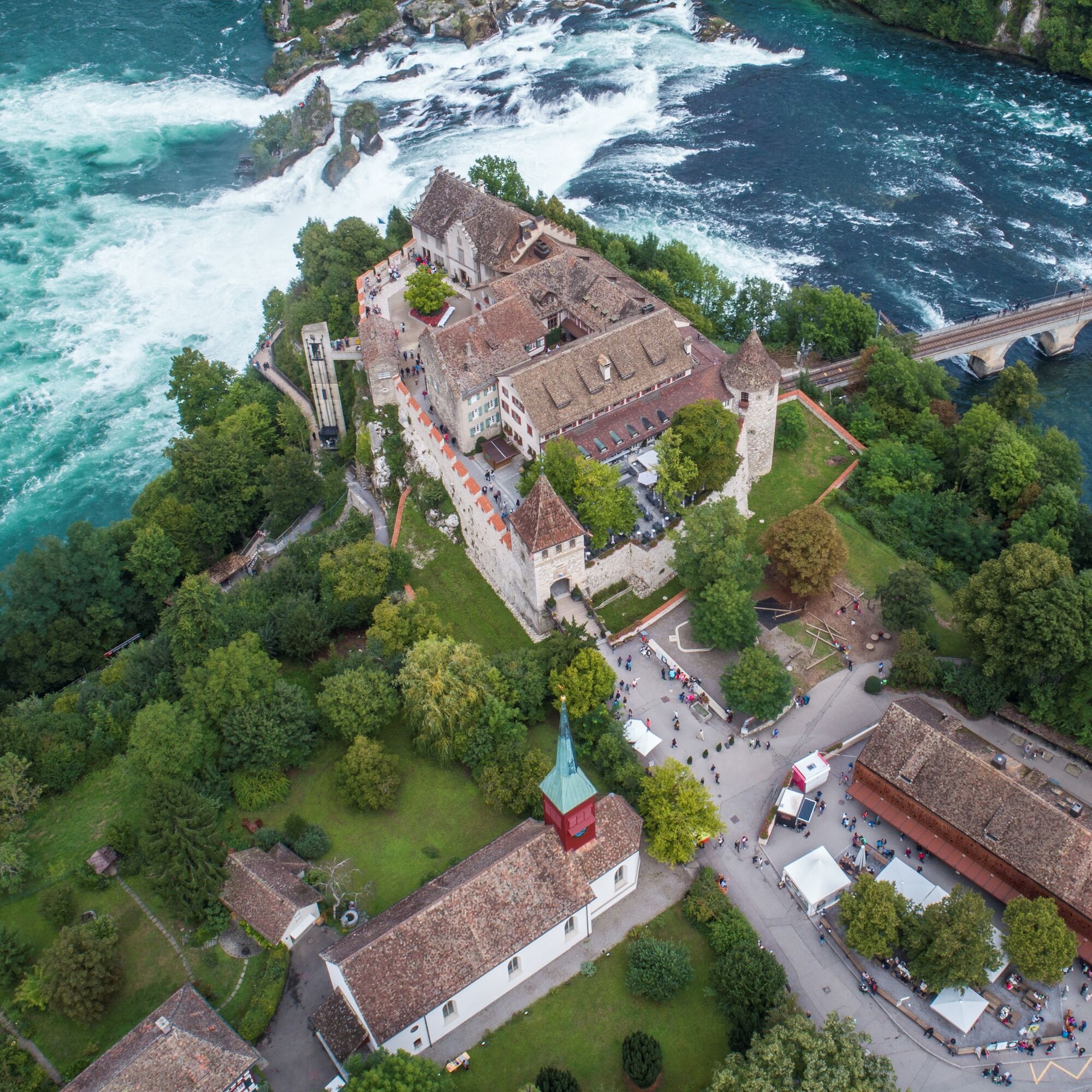
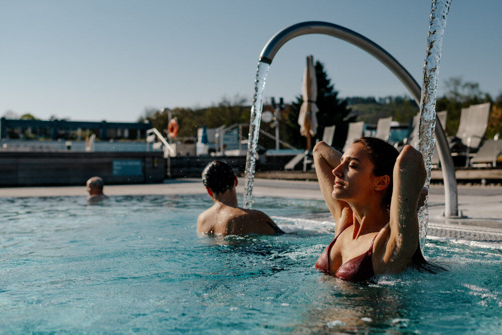
In the midst of Switzerland's northernmost city stands the Munot, Schaffhausen’s landmark. In the town squares, historic, beautifully restored fountains trickle. Plenty of water is also found later in Neuhausen at the Rhine Falls. The most impressive presentation of Europe's most powerful waterfall is in summer when the snow melts in the Alps. The ride through the floodplain forest areas of the Rhine meadows now takes place on natural paths for once. The Rhine flows calmly, and it is a lot of fun to ride this section alongside it. The route then leads over the Thur into the lovely Flaach valley. At the Töss estuary, it returns to the Rhine and makes a short visit to the pretty, vine-surrounded town of Eglisau. One should also visit the bridge town of Kaiserstuhl. From the Upper Tower dating back to the 12th/13th century, the road leads down to the Rhine shore. In the spa town of Bad Zurzach, the Glauber's salt spring at 39.5 degrees is located in the thermal bath.

Always follow the SwissMobil cycle route Rhein Route 2 from Schaffhausen to Bad Zurzach.
Yes
Reliable bike, e-bike, gravel bike
Smart people protect themselves – wear a bike helmet.
By car to Schaffhausen Schifflände.
Schifflände parking garage
3
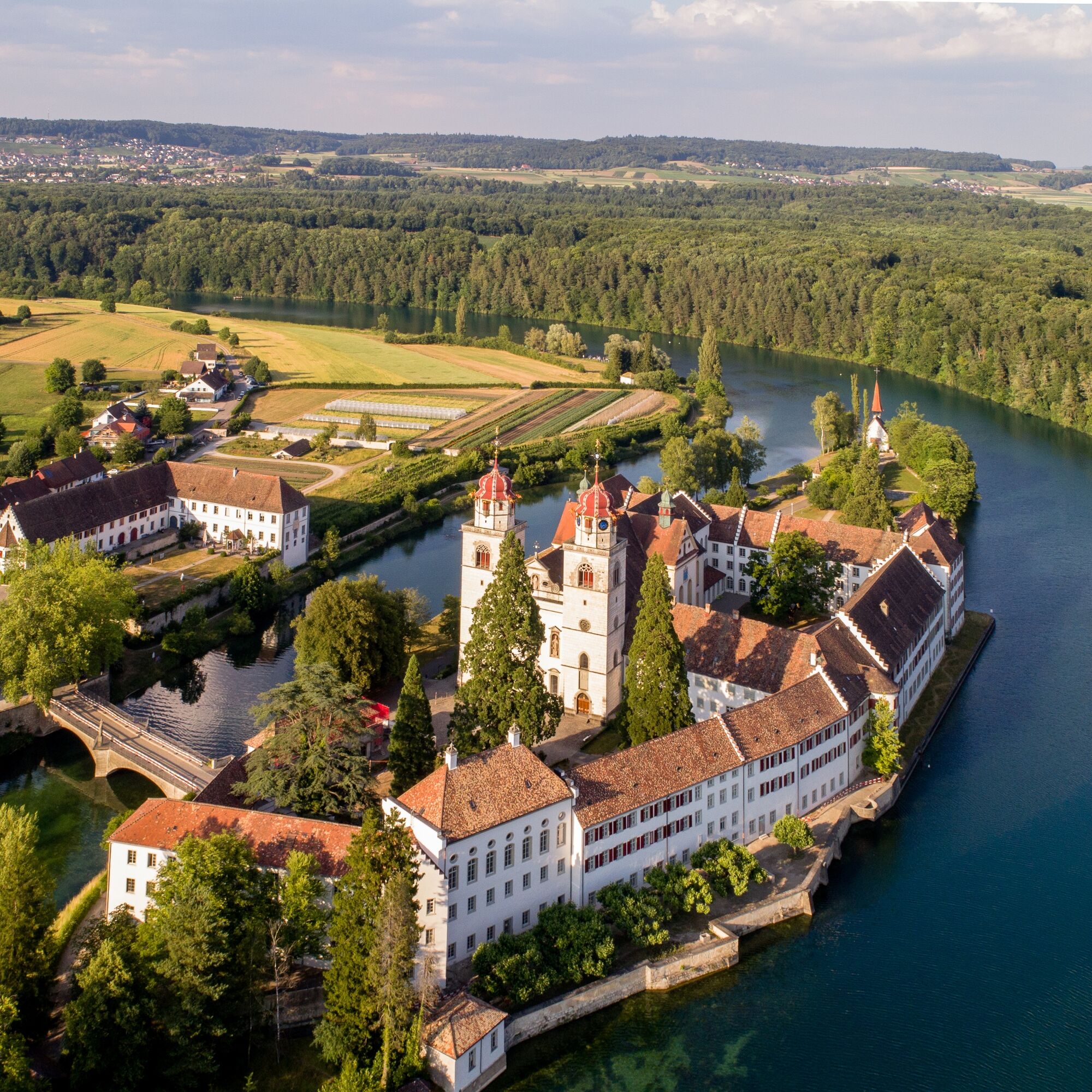
Visit the Rheinau monastery island
Popular tours in the neighbourhood
- 4,6
Small Rheinfall Circular Route
lightHiking3,48 km - 4,8
Rundwanderweg Rheinau
lightHiking6,85 km - 5,0
Amazon hike
mediumThematic route20,2 km Kleie Rheinfallrunde
lightHiking3,82 kmEglisau - Buchberg - Eglisau
lightHiking5,99 kmChläggi-Route
heavyCycling58,1 kmBachsertal - Glatt
mediumCycling56,6 kmBad Zurzach - Kaiserstuhl
lightHiking12,0 kmSwitzerlandMobility 899: Blauburgunderland Panorama Trail
mediumHiking14,2 km- 5,0
Circular hike over the Hinterranden
mediumHiking11,0 km

Hiking & Tracking


Don't miss out on offers and inspiration for your next holiday
Your e-mail address has been added to the mailing list.