
- Brief description
-
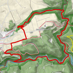
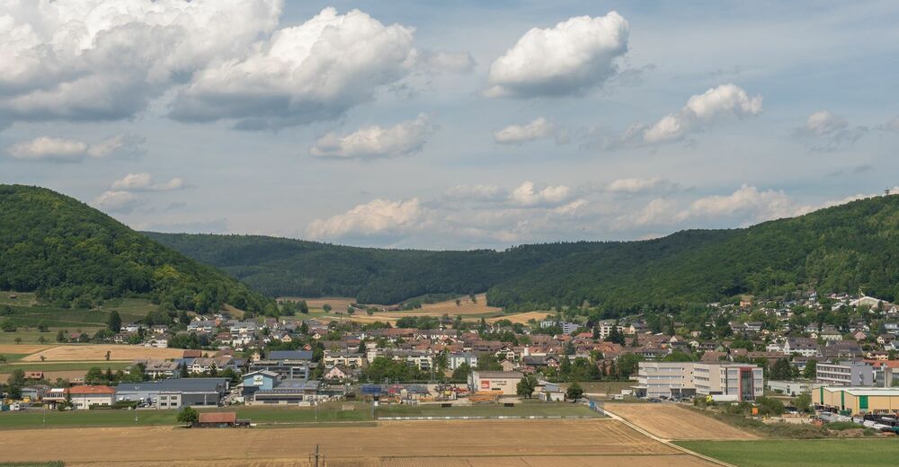
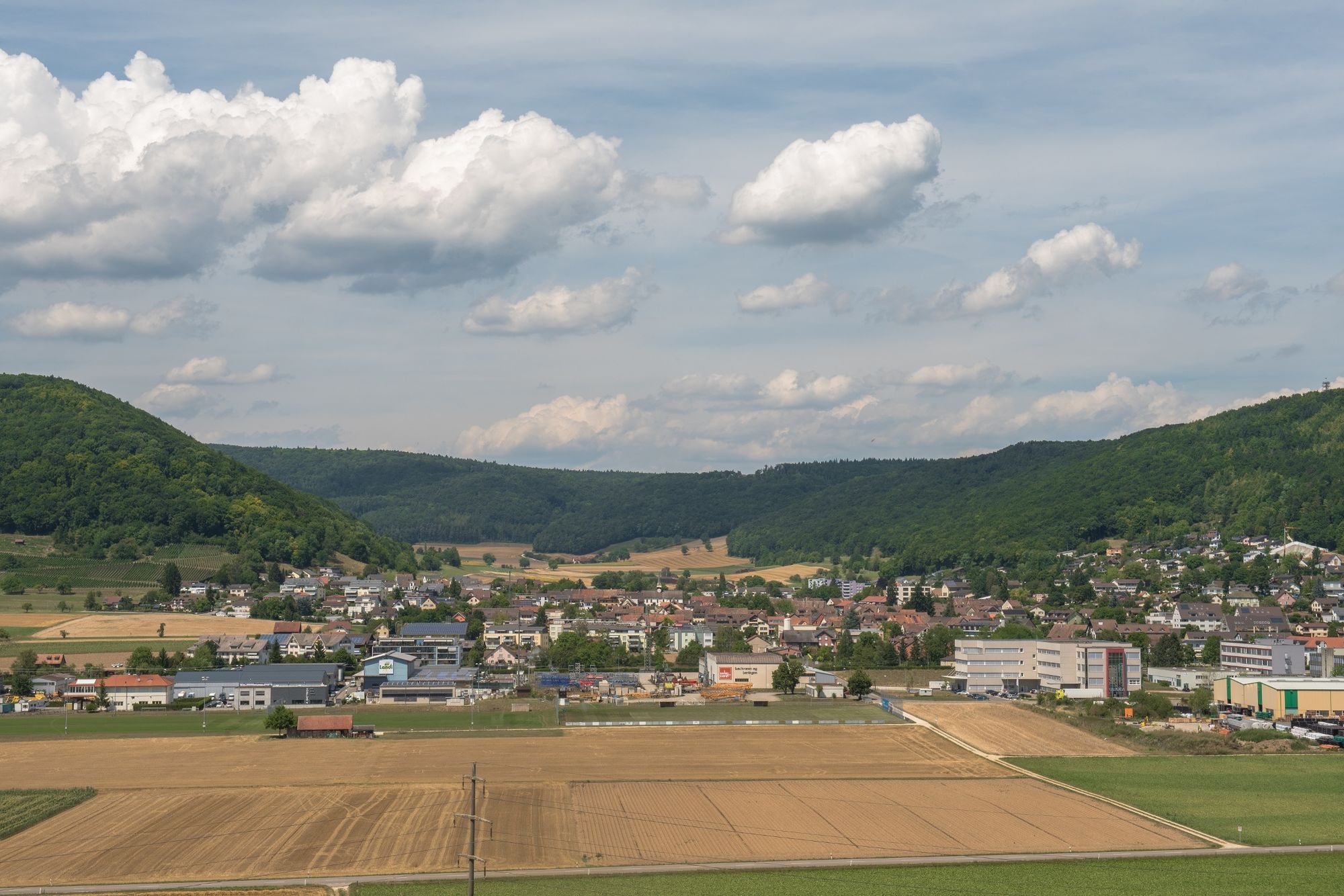
This circular hike, starting and finishing in Beringen, takes you over the beautiful Hinterranden to Löhningen and finally back through the vineyards.
- Difficulty
-
medium
- Rating
-
- Starting point
-
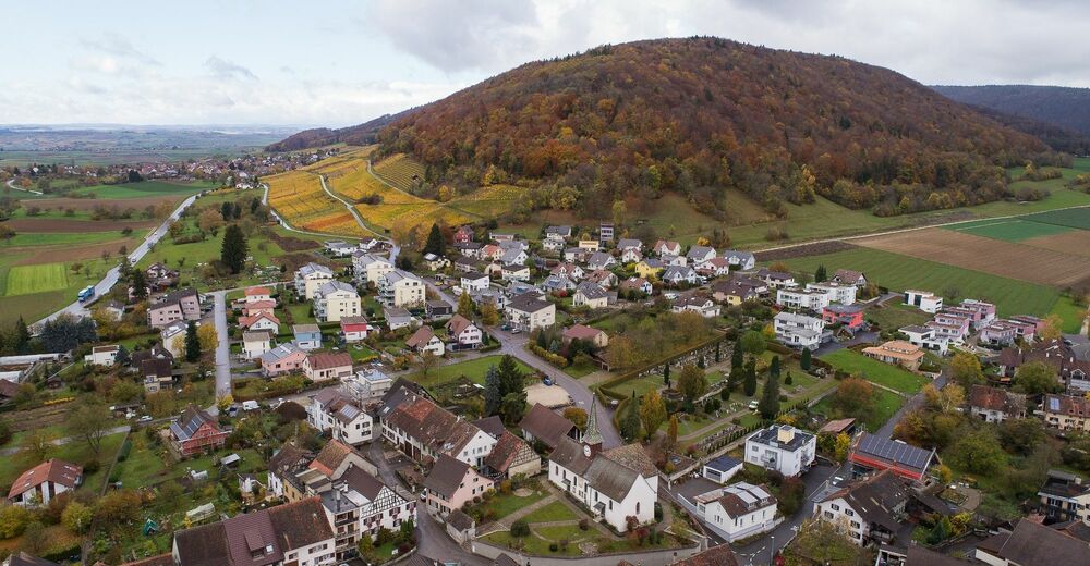
Beringen, car park by the swimming pool
- Route
-
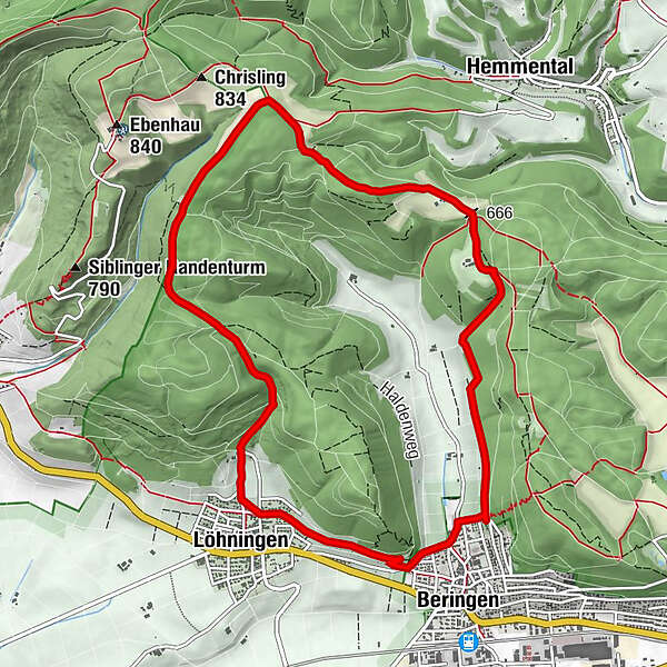
Blashalde (674 m)2.5 kmLöhningen (479 m)8.8 kmBeringen (449 m)10.7 km
- Best season
-
JanFebMarAprMayJunJulAugSepOctNovDec
- Description
-
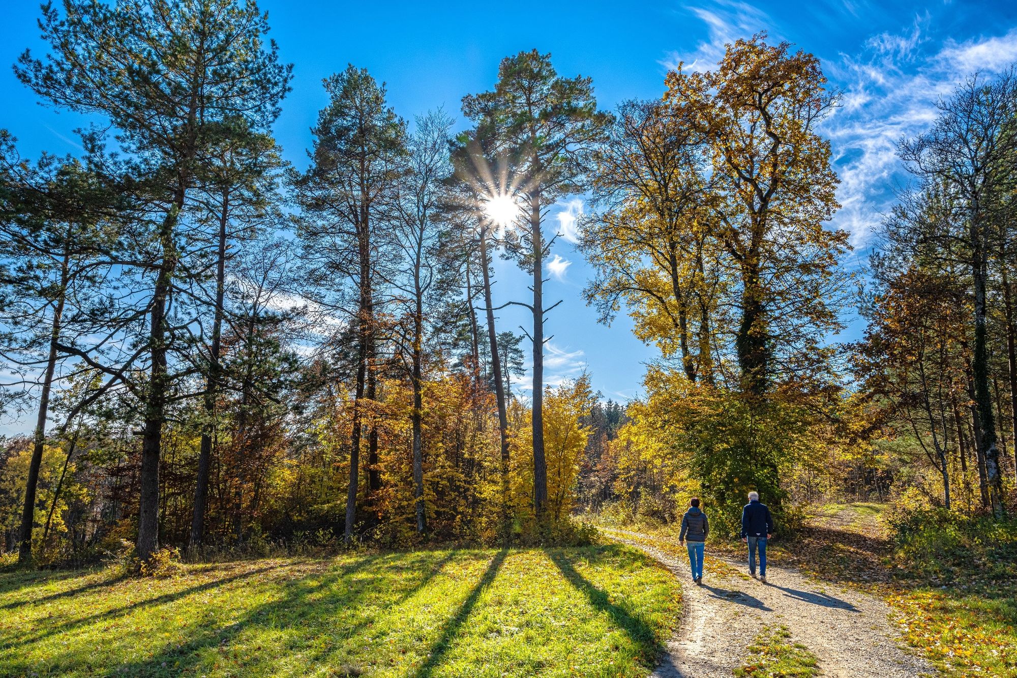
You start at the swimming pool in Beringen and hike via Hinterranden up to Winkeläcker. Then it's mainly downhill to Löhningen and finally through the beautiful vineyards back to the starting point in Beringen. A varied circular hike with a few metres in altitude, which are mainly covered at the beginning of the hike. If the weather is fine, we recommend a visit to the Naturbadi swimming pool in Beringen at the end of the walk, where you can recover from the hike and enjoy some refreshments.
If you still have enough energy left, you can hike up to the Beringen edge tower. This is about 45 minutes' walk from the starting point and can be seen from the swimming pool car park.
- Directions
-
The starting point of the hike is the car park at the outdoor pool in Beringen. From the car park, we cross the road and walk up the Schützenweg. Where this turns off to the right, we go straight on up the steps, cross a path at the edge of the forest and turn left 20 metres further up on the next path (sign "Heuweg" towards "Blashalde-Hägliloo"). We now keep to the yellow "Wanderweg" signs or the yellow diamonds. After approx. 1.5 km, this hiking trail turns off to the right as a footpath up the edge of the forest. We ascend into the forest and after approx. 50 metres are directed to the left by the yellow diamond. We continue on a level path to the edge of the forest and then follow the partly gravelled road up to the right. At the top of the forest corner, we go straight ahead up the forest path (do not take the gravelled path to the left). Further up we come to a paved path again. There are yellow signs on the right-hand side of the post pointing us in the direction of "Blashalde-Hägliloo". At the end of the forest, turn left along the gravelled path towards "Hägliloo". We walk past the Hägliloo farm to the next edge of the forest, where our hiking sign points us first to the left and then after about 50 metres to the right. We climb steadily uphill in the forest on a path that is clearly marked with yellow diamonds. We walk further up along the edge of the forest and follow the "Staufenberg-Löhingen" sign to the left at the corner of the forest. We continue along the edge of the forest and come to a hut labelled "Satus Neuhausen". We leave the hut with barbecue area on the right and continue to follow the hiking trail sign or the yellow diamond. The path leads slightly downhill and further ahead we come to a beautiful barbecue area with a shelter. From here, we follow the wooden sign "Randenstag" steeply down the mountain. After a short time, we come to a signpost for "Löhningen 35 min." We follow the signposted hiking trail in a steep descent. At the end of the forest, after a temporary turn-off to the left, we come to a small tarmac road, which we cross and continue downhill on our hiking trail through the meadows. Immediately after the sports field, we turn off to the left at a right angle and follow Lettenstraße to the next junction. There we continue straight ahead along the Haldenweg (in Löhningen there are various places to stop for refreshments in the village, but you have to come back to the sports field after stopping). The Haldenweg is tarmac up to the top and then continues through the vineyards on a gravelled path. We go downhill again and have the village of Beringen in front of us. At the beginning of the village, the path is asphalted again, first turns sharply downhill to the right and then sharply left again after approx. 150 metres (see "Wanderweg" signs). After a few metres, where the "Wanderweg bzw. Radweg" sign points us down into the village, we leave the marked hiking trail and turn left past the "Zone 30" sign (Salon Uschi). After 3 or 4 houses, we turn right down the gravel path at the sign prohibiting motor vehicles and now see our starting point again, the car park at the sports grounds.
- Highest point
- 803 m
- Endpoint
-
Beringen, car park by the swimming pool
- Height profile
-
 © outdooractive.com
 - Equipment
-
Good shoes, drinks and snacks for in between.
- Safety instructions
-
The route includes several ascents and descents.
- Tips
-
Beringer Randenturm, Beringen (The Beringer Randenturm is not on the route and is about 45 minutes from the starting point)
Swimming pool, Beringen
- Additional information
- Directions
- Public transportation
- Parking
-
Sufficient parking spaces are available at the swimming pool.


- Author
-
The tour Circular hike over the Hinterranden is used by outdooractive.com provided.


General info
-
SchaffhauserLand
1027
-
Randen
547
-
Beringen
161