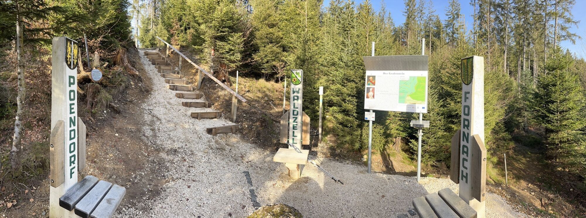
Kalteis Runde
light
Navigate
Navigate
Get this tour on your mobile
Kalteis Runde
light
Hiking
7,13
km
Scan the QR code and start navigation in the bergfex app

Hiking & Tracking


Distance
7,13
km
Duration
01:38
h
Ascent
145
m
Sea level
587 -
731
m
Track download
Kalteis Runde
light
Hiking
7,13
km


Last tracked
today
Route information
Forest area
Yes
Arrival information
Parking
Parkmöglichkeit beim Forsthaus Hocheck
Valuations
5
(4)
4
(0)
3
(0)
2
(0)
1
(0)
Popular tours in the neighbourhood
- 4,4
Attergauer Aussichtsturm - Abendrunde
lightHiking9,53 km - 4,1
Kripperlweg Friedburg, Österreich
lightHiking3,83 km - 5,0
Ampflwanger Höhenrundweg „100er“
mediumHiking21,0 km - 4,0
Koglbergrunde
lightHiking3,80 km Sommerholz
lightHiking11,9 km- 4,0
Göblsberg Rundweg
lightHiking6,30 km - 5,0
Höhen Runde
lightHiking11,2 km - 2,0
St. Georgen (Attergau) - Lichtenberg (Aussichtsturm) - Weißenkirchen (Attergau)
mediumMountainbike22,0 km - 2,8
Variante: Teufelstal Runde
lightHiking9,34 km Munderfing-Windräder
lightHiking12,5 km
Hiking & Tracking

Over 550.000 tour suggestions, detailed maps and an intuitive route planner make the app a must-have for all nature enthusiasts.

Don't miss out on offers and inspiration for your next holiday
Subscribe to the newsletter
Error
An error has occurred. Please try again.Thank you for your registration
Your e-mail address has been added to the mailing list.
Tours throughout Europe
Austria Switzerland Germany Italy Slovenia France Netherlands Belgium Poland Liechtenstein Czechia Slovakia Spain Croatia Bosnia and Herzegovina Luxembourg Andorra Portugal Iceland United Kingdom Ireland Greece Albania North Macedonia Malta Norway Montenegro Moldova Kosovo Hungary San Marino Romania Estonia Latvia Belarus Cyprus Lithuania Serbia Bulgaria Monaco Denmark Sweden Finland