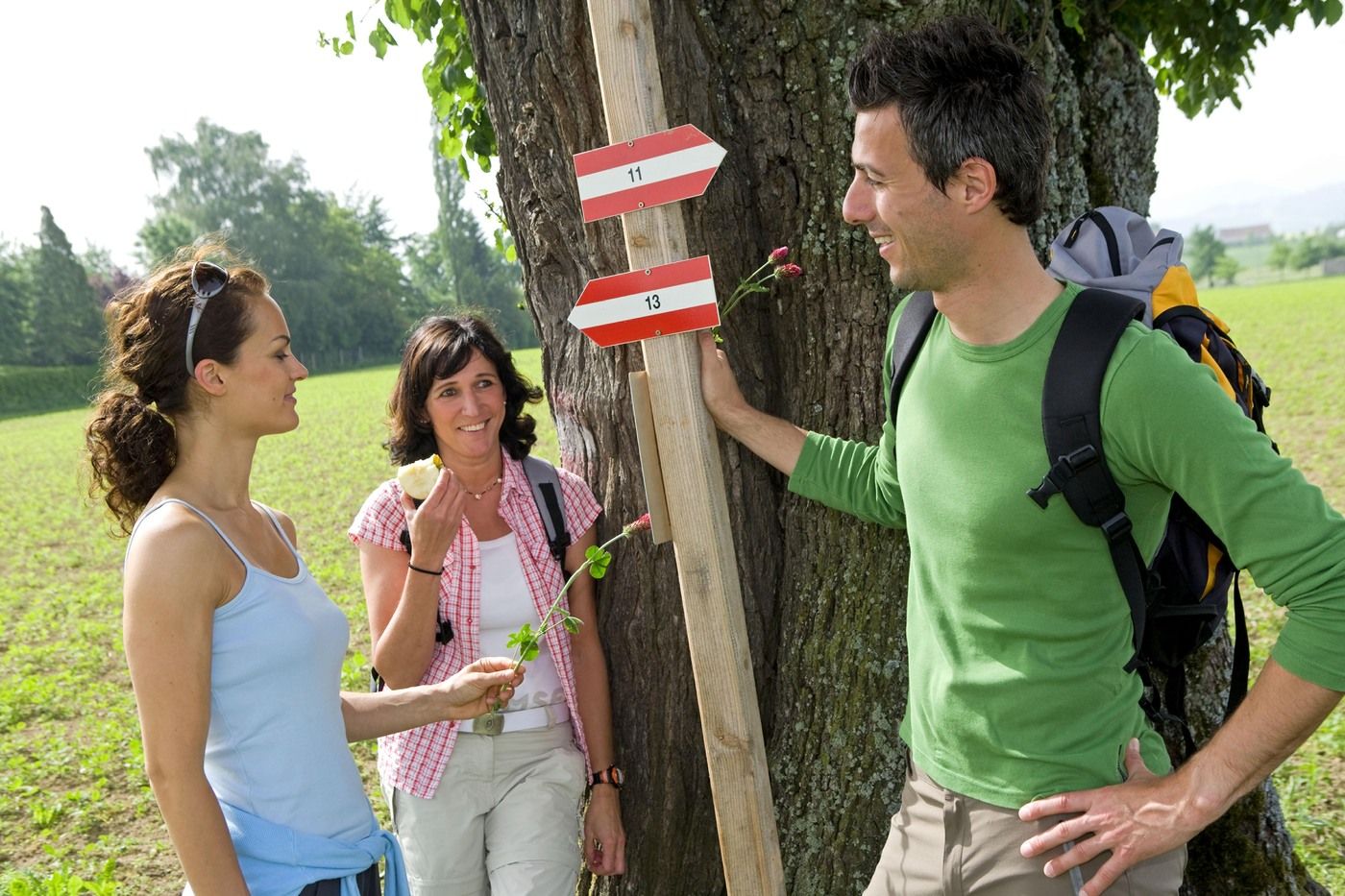
Verbindungsweg Bad Hall-Rohr im Kremstal
light
Navigate
Navigate
Get this tour on your mobile
Verbindungsweg Bad Hall-Rohr im Kremstal
light
Hiking
4.80
km
Scan the QR code and start navigation in the bergfex app

Hiking & Tracking


Distance
4.80
km
Duration
01:20
h
Ascent
52
m
Sea level
339 -
404
m
Track download
Verbindungsweg Bad Hall-Rohr im Kremstal
light
Hiking
4.80
km


Weg: Eduard-Bach-Straße Bad Hall - Eduardshöhe - Haid - Lehner in der Haid - Ortszentrum Rohr im Kremstal.
Route
Pfarrkirche Bad Hall
(380 m)
Place of worship
0.3 km
Margarethenkapelle
(379 m)
Place of worship
0.5 km
Kapelle
(392 m)
Place of worship
2.4 km
Route
Verbindungsweg Bad Hall-Rohr im Kremstal
light
Hiking
4.80
km
Bad Hall
(379 m)
City
0.0 km
Pfarrkirche Bad Hall
(380 m)
Place of worship
0.3 km
Margarethenkapelle
(379 m)
Place of worship
0.5 km
Konradsdorf
(398 m)
Settlement
1.9 km
Kapelle
(392 m)
Place of worship
2.4 km
Rohr im Kremstal
(333 m)
Village
4.7 km
Route information
Suitable for senior citizens
Yes
Suitable for families
Yes
Forest area
Yes
Valuations
1 Comment
Christian Gerwig
23. Mar. 2025
Viel Asphaltstrassen aber viel Aussicht
Netter Verbindungsweg der leider meistens auf schwach oder stärker befahrenen Asphaltstrasse verläuft.
Der erste Teil in Bad Hall von der Hundefreilaufzone bis zu Abzweigung nach Haid weicht von der offiziellen 50er Strecke ab. Hier sollte man nicht entlang der Strasse ohne Gehsteig gehen sondern zum Golfplatz hinauf und dann rechts nach Haid.
Popular tours in the neighbourhood
- 4.7
Kleiner und Großer Landsberg (3.7.2019) mit Sonnenuntergang
mediumHiking3.51 km - 4.7
Enns Active Trail Ternberg
mediumHiking4.85 km - 4.5
Großer und Kleiner Landsberg
lightHiking1.95 km - 5.0
Ebenboden Rundweg mit Faller Bucht
lightHiking12.4 km - 5.0
Kleiner und Grosser Landsberg
mediumHiking4.11 km - 4.2
On the trail of the cheese
mediumHiking7.13 km - 3.0
Schneeherrgott - Seebacher - Grünburger Hütte - Hochbuchberg - Kruckenbrettl
mediumHiking11.3 km - 5.0
Grünburger Hütte - Steinbach/Rieserberg
mediumHiking2.59 km - 4.2
Grünburger Hütte
lightHiking2.66 km Circular Trail Grillenparz
lightHiking8.66 km
Hiking & Tracking

Over 550.000 tour suggestions, detailed maps and an intuitive route planner make the app a must-have for all nature enthusiasts.

Don't miss out on offers and inspiration for your next holiday
Subscribe to the newsletter
Error
An error has occurred. Please try again.Thank you for your registration
Your e-mail address has been added to the mailing list.
Tours throughout Europe
Austria Switzerland Germany Italy Slovenia France Netherlands Belgium Poland Liechtenstein Czechia Slovakia Spain Croatia Bosnia and Herzegovina Luxembourg Andorra Portugal Iceland United Kingdom Ireland Greece Albania North Macedonia Malta Norway Montenegro Moldova Kosovo Hungary San Marino Romania Estonia Latvia Belarus Cyprus Lithuania Serbia Bulgaria Monaco Denmark Sweden Finland