Waxenberg - Punzing - Landhotel Hoftaverne Atzmüller
light
Navigate
Navigate
Get this tour on your mobile
Waxenberg - Punzing - Landhotel Hoftaverne Atzmüller
light
Hiking
7.22
km
Scan the QR code and start navigation in the bergfex app

Hiking & Tracking


Distance
7.22
km
Duration
01:51
h
Ascent
92
m
Sea level
734 -
849
m
Track download
Waxenberg - Punzing - Landhotel Hoftaverne Atzmüller
light
Hiking
7.22
km


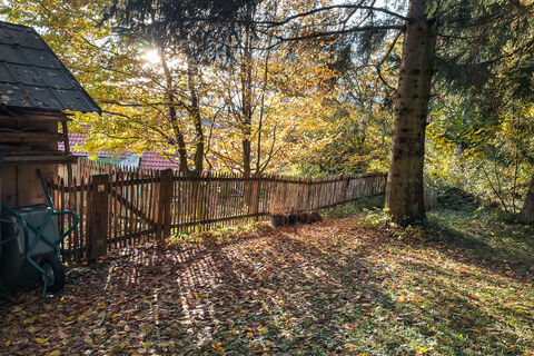
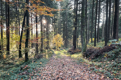
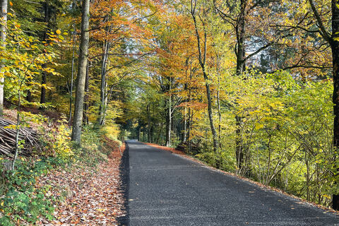
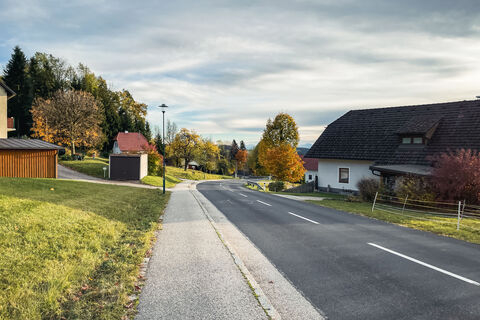
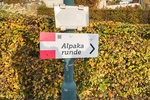
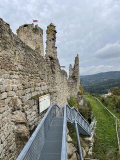
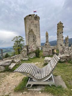
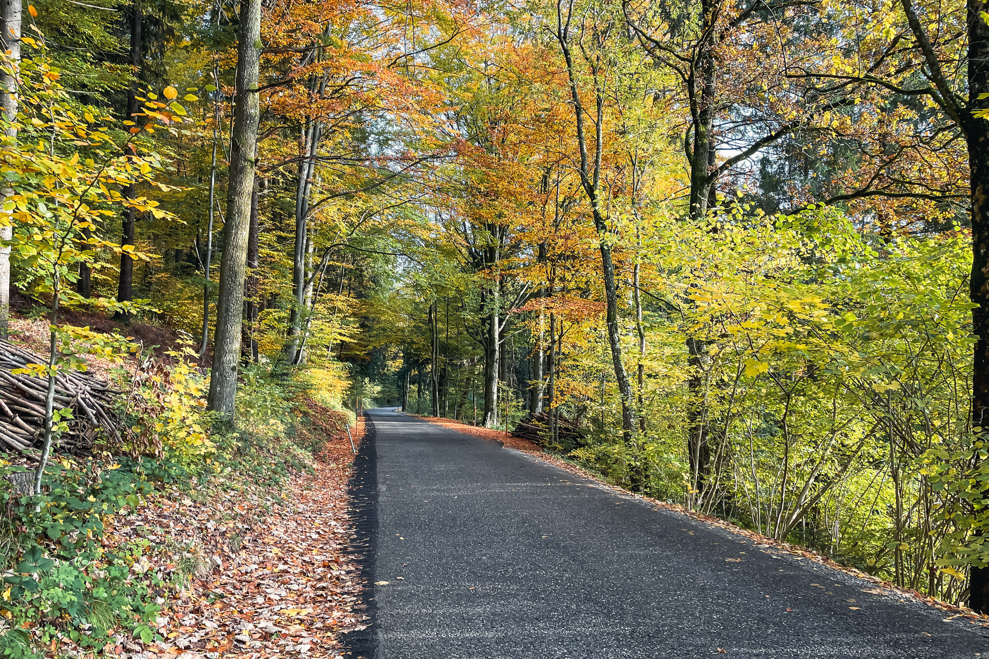
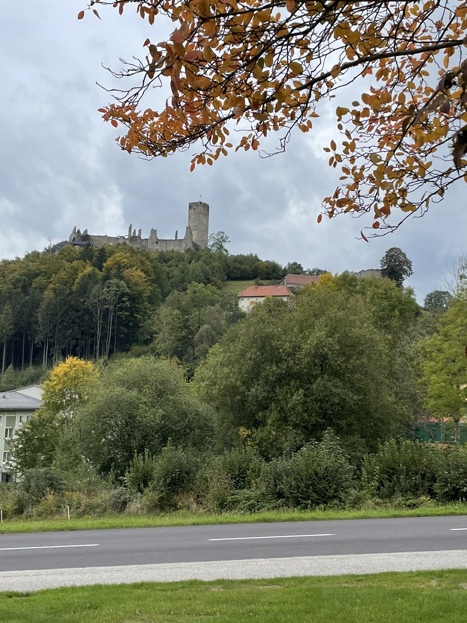
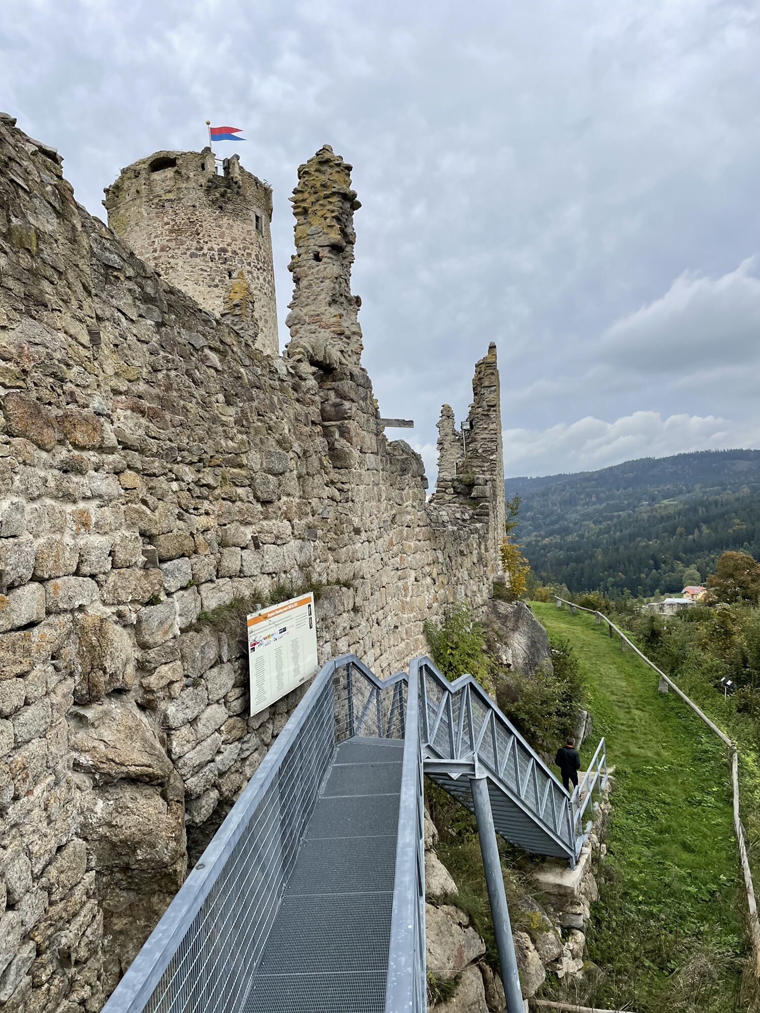
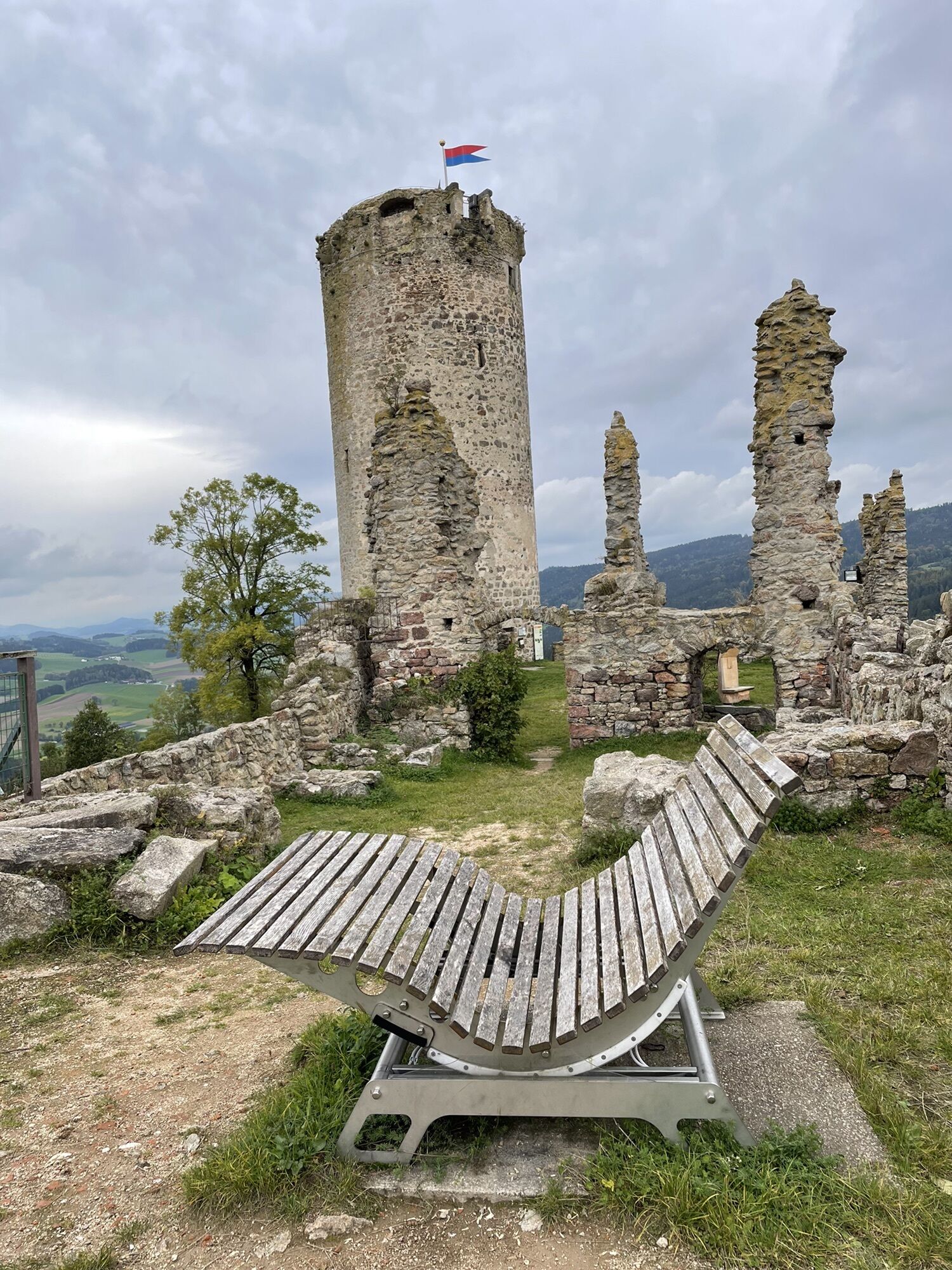
Photos from our users
-
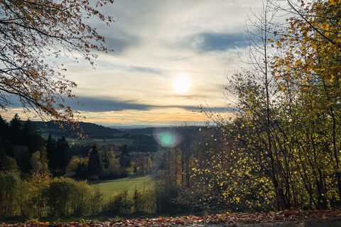
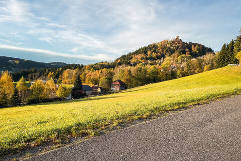
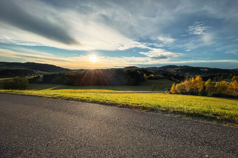
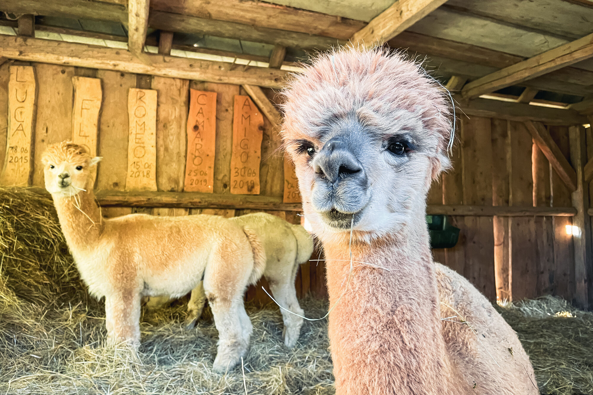
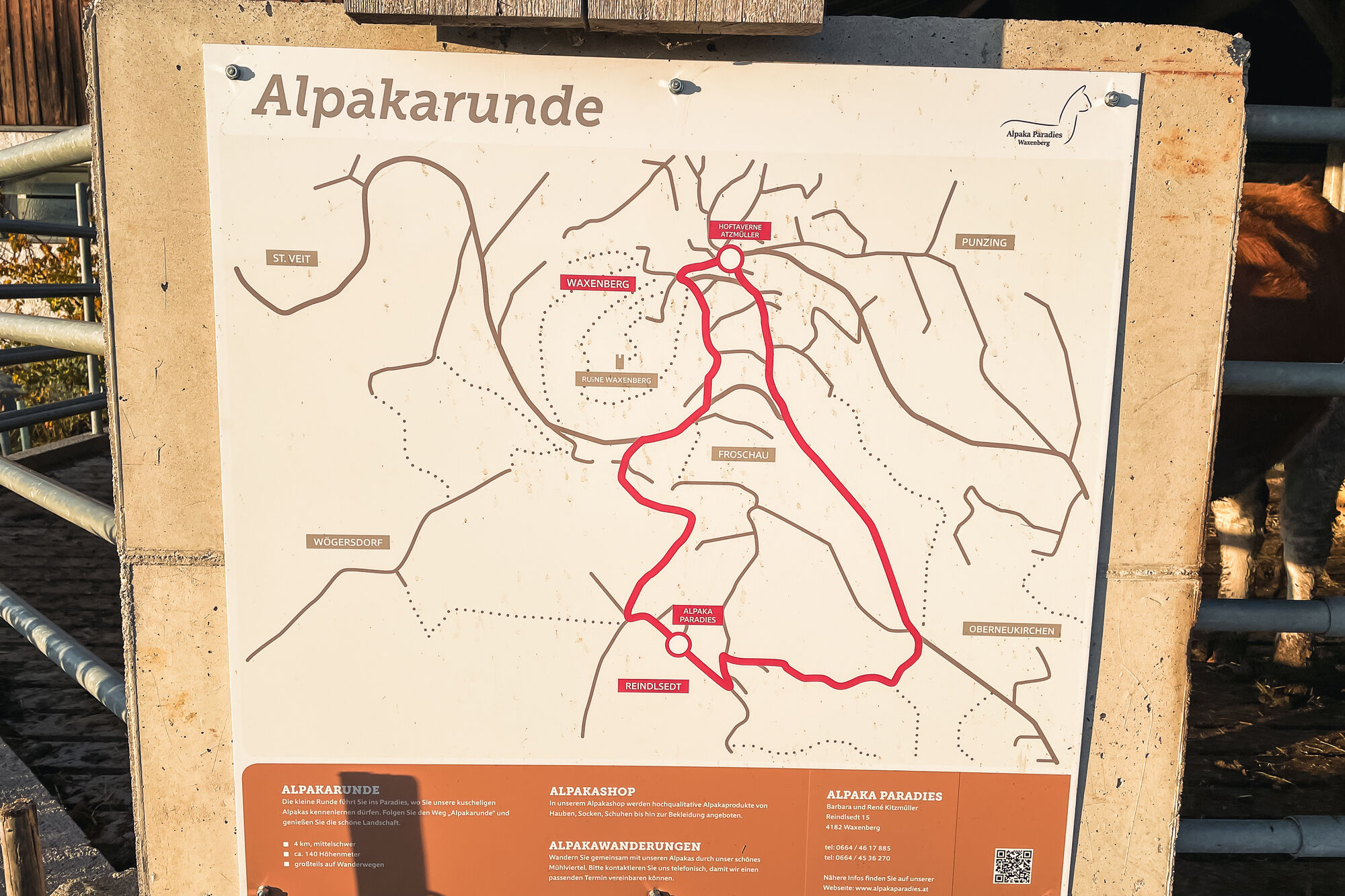
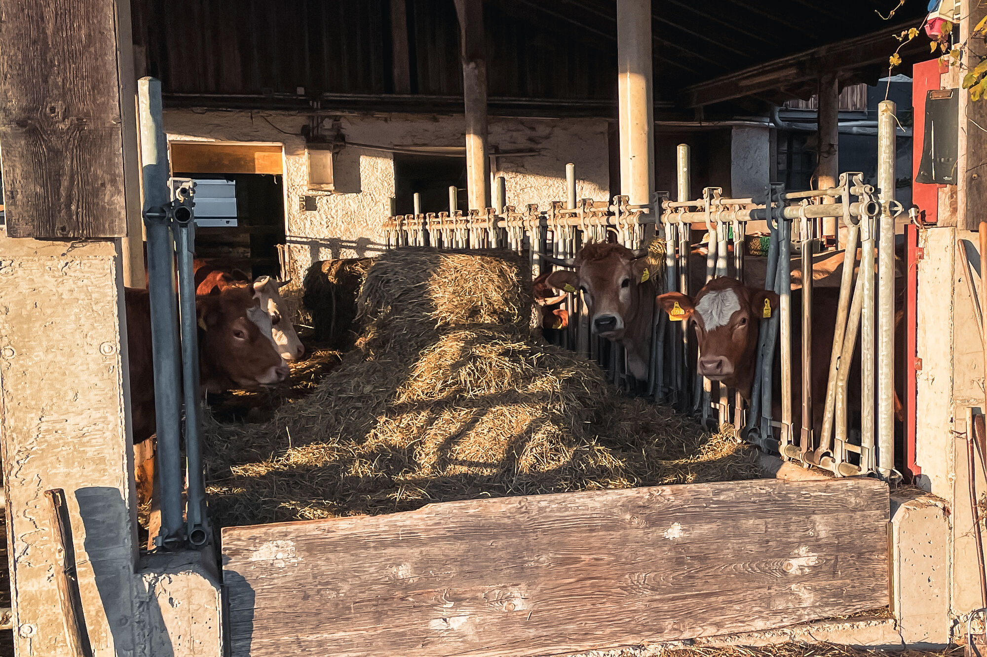
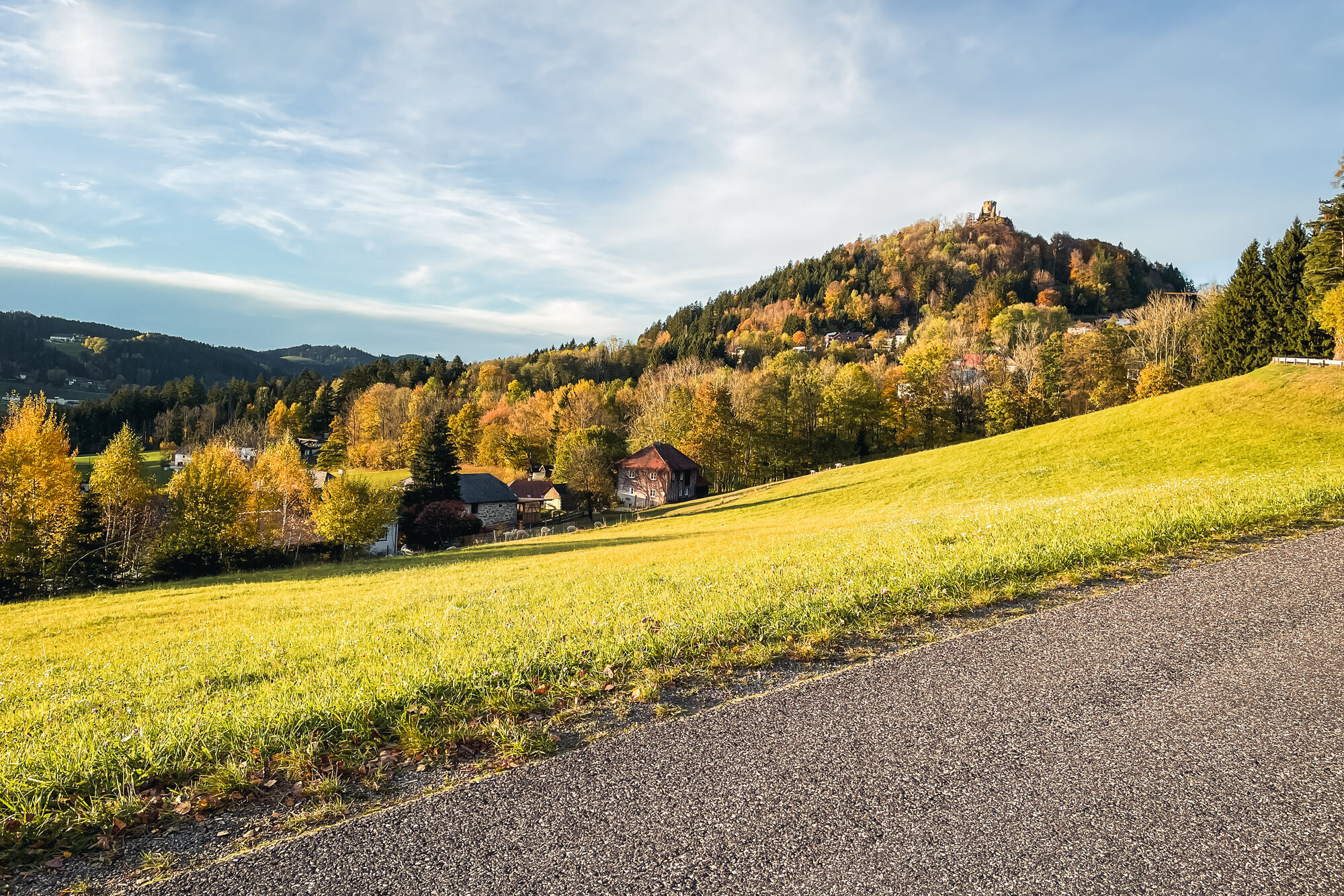
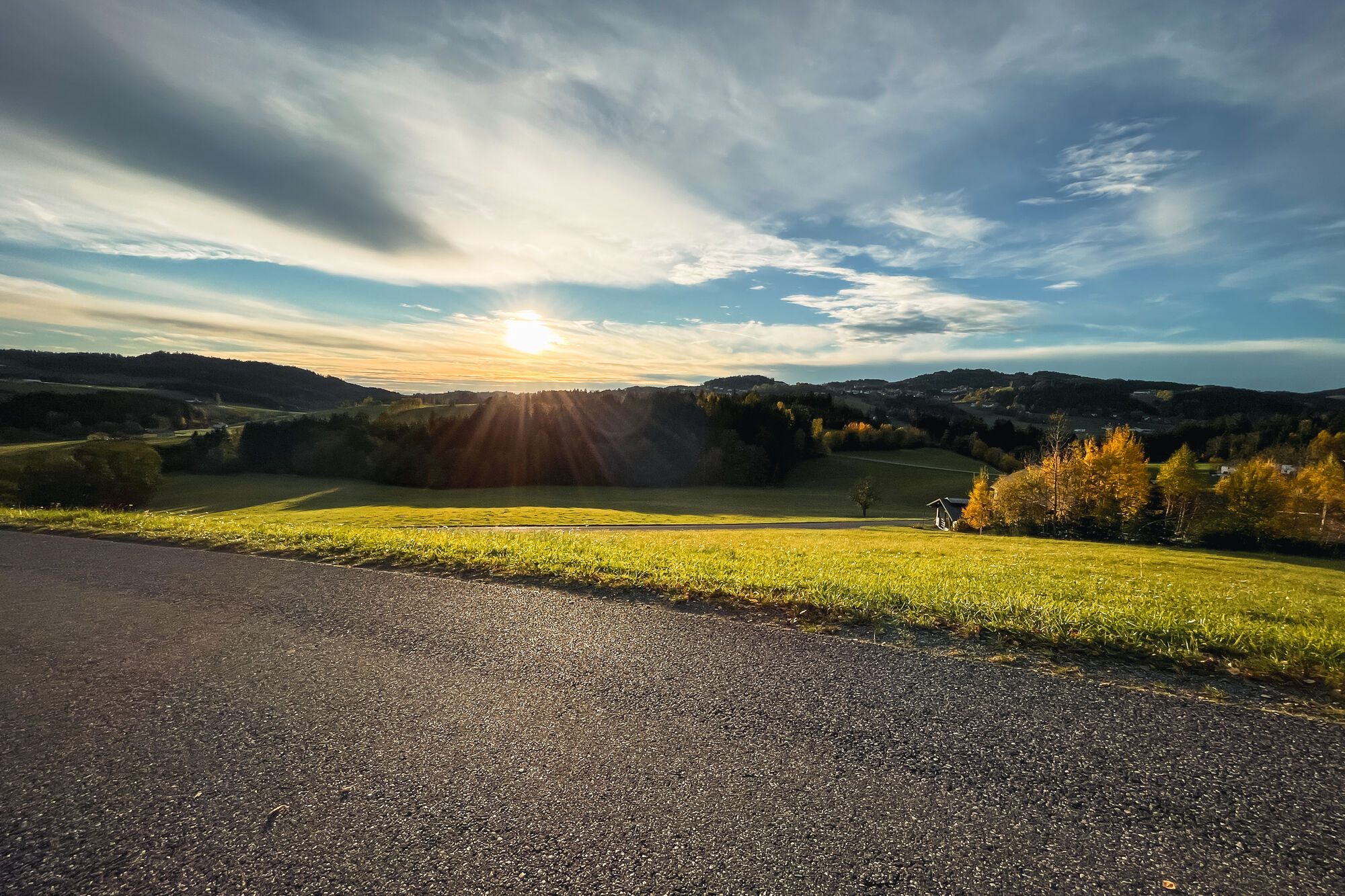
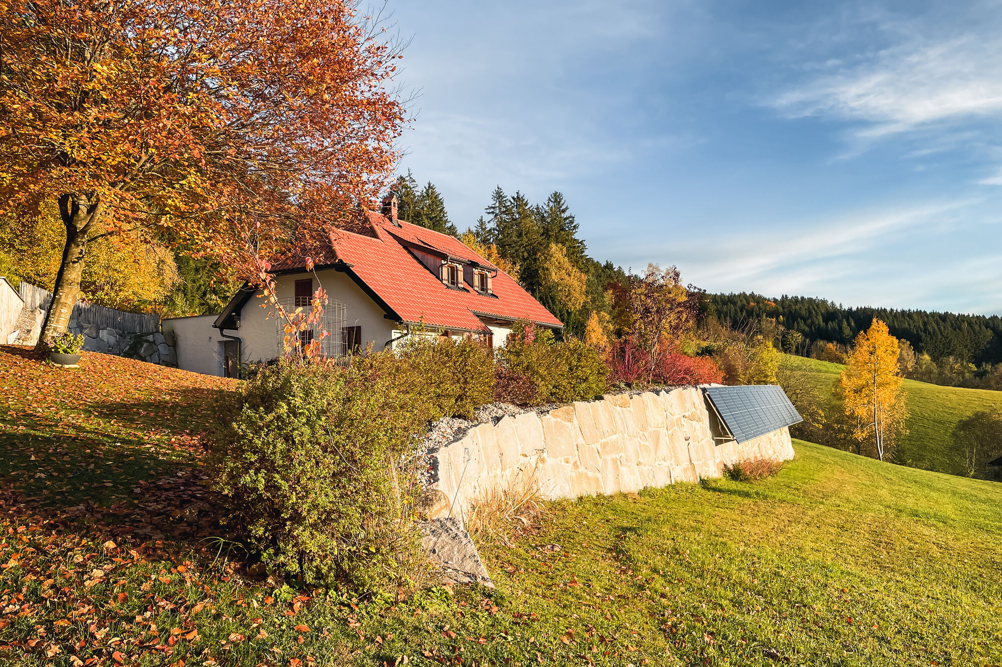
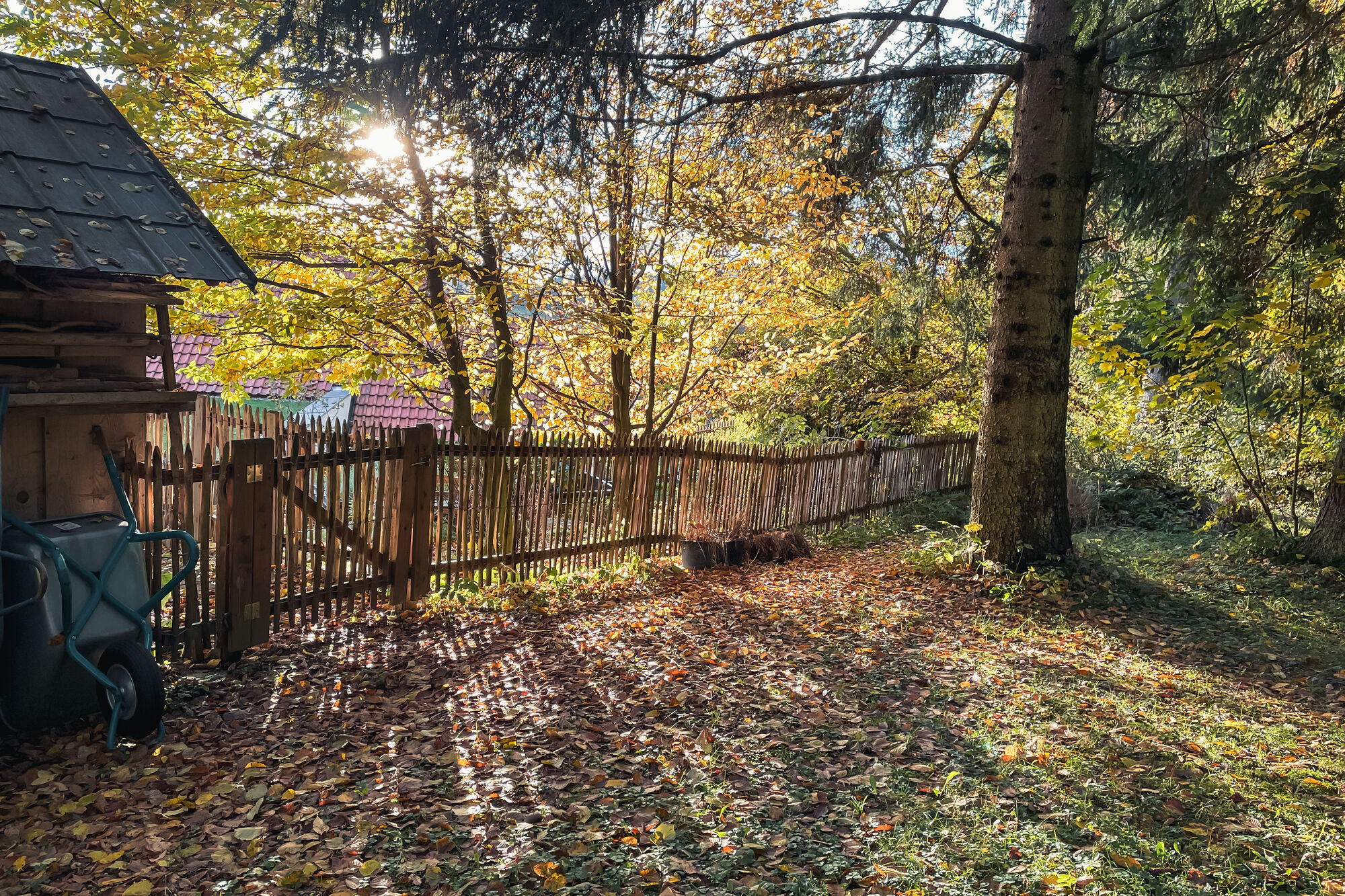
 © Santa PileCreated on 04.11.2023
 -
 © Santa PileCreated on 04.11.2023
 -
 © Santa PileCreated on 04.11.2023
 -
 © Santa PileCreated on 04.11.2023
 -
 © Santa PileCreated on 04.11.2023
 -
 © Santa PileCreated on 04.11.2023
 -
 © Santa PileCreated on 04.11.2023
 -
 © Santa PileCreated on 04.11.2023
 -
 © Santa PileCreated on 04.11.2023
 -
 © Santa PileCreated on 04.11.2023
 -
 © Santa PileCreated on 04.11.2023
 -
 © Santa PileCreated on 04.11.2023
 -
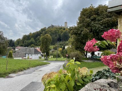
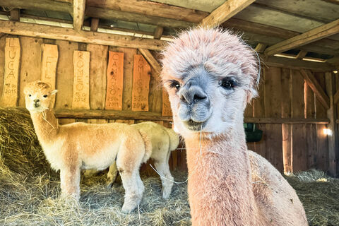
 © Breitenberger EvaCreated on 01.10.2022
 -
 © Breitenberger EvaCreated on 01.10.2022
 -
 © Breitenberger EvaCreated on 01.10.2022
 -
 © Breitenberger EvaCreated on 01.10.2022
 -
 © Breitenberger EvaCreated on 01.10.2022


Route
Landhotel Hoftaverne Atzmüller
(749 m)
Restaurant
0.0 km
Punzing
(800 m)
Village
0.0 km
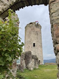
Waxenberg
(753 m)
Village
0.0 km
Waxenberg
(753 m)
Village
7.2 km
Route
Waxenberg - Punzing - Landhotel Hoftaverne Atzmüller
light
Hiking
7.22
km
Landhotel Hoftaverne Atzmüller
(749 m)
Restaurant
0.0 km
Punzing
(800 m)
Village
0.0 km
Waxenberg
(753 m)
Village
0.0 km
Punzing
(800 m)
Village
6.7 km
Waxenberg
(753 m)
Village
7.2 km
Landhotel Hoftaverne Atzmüller
(749 m)
Restaurant
7.2 km
Valuations
5
(1)
4
(0)
3
(0)
2
(0)
1
(0)
Popular tours in the neighbourhood
-
4.9
Sternsteinrunde
lightHiking 7.48 km -
2.7
Hellmonsödt - Pelmberg - Linz
lightHiking 14.4 km -
3.8
Moorweg Bad Leinfelden
lightHiking 4.85 km -
4.0
Lichtenberg GIS
lightHiking 8.53 km -
5.0
Sternstein / Bad Leonfelden
lightHiking 13.6 km -
4.0
Petersbergrunde
lightHiking 9.22 km -
3.9
Schwedenschanze, Bad Leonfelden
lightHiking 10.2 km -
5.0
Kelzendorf-Runde
lightHiking 7.38 km -
09 Salzsteigweg, 01. Etappe: Bad Leonfelden - Sternstein
lightLong-distance walking trail 8.40 km -
4.5
R3 Rundwanderweg Reichenau im Mühlkreis
lightHiking 7.94 km
Hiking & Tracking

Over 550.000 tour suggestions, detailed maps and an intuitive route planner make the app a must-have for all nature enthusiasts.

Don't miss out on offers and inspiration for your next holiday
Subscribe to the newsletter
Error
An error has occurred. Please try again.
Thank you for your registration
Your e-mail address has been added to the mailing list.
Tours throughout Europe
Austria
Switzerland
Germany
Italy
Slovenia
France
Netherlands
Belgium
Poland
Liechtenstein
Czechia
Slovakia
Spain
Croatia
Bosnia and Herzegovina
Luxembourg
Andorra
Portugal
Iceland
United Kingdom
Ireland
Greece
Albania
North Macedonia
Malta
Norway
Montenegro
Moldova
Kosovo
Hungary
San Marino
Romania
Estonia
Latvia
Belarus
Cyprus
Lithuania
Serbia
Bulgaria
Monaco
Denmark
Sweden
Finland