If you want to explore the beautiful area around Lake Mondsee and have a little more time, this trail run is highly recommended. Directly from the Mondsee, over the Kolomannsberg, which is rich in views,...
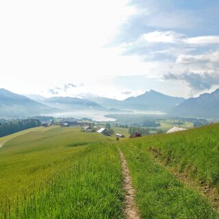
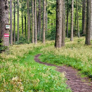
If you want to explore the beautiful area around Lake Mondsee and have a little more time, this trail run is highly recommended. Directly from the Mondsee, over the Kolomannsberg, which is rich in views, to the Irrsee. You will experience an amazing variety of landscapes and trails. While it starts out extremely easy to run on wide paths, on the Kolomannsberg you will also find very narrow signal trails and the odd boggy meadow path, dark forest trail or tractor path. The last section invites you to "run out", where the final kilometers can be easily earned: along the water of the Irrsee.

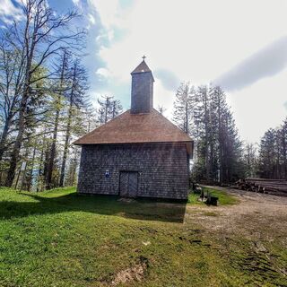
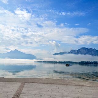
The trail starts directly at the Robert Baum Prommenade, where the boat landing stage is also located. From there, take a short detour through Almeida Park, soon find the signs for the hiking trail along Hierzenberger Straße and follow the Zeller Ache. Just before the Erlachmühle snack station, take a short, steep path to the left uphill, which leads over the Obergaisberg directly towards Kolomannsberg. The trail begins at a crossroads and leads slowly up the Kolomannsberg over meadows and forest. Trail no. 8 is very easy to walk in sections and meanders happily through the forest, where it suddenly ends in front of the Kolomannskirche church, which is made entirely of wood!
Now comes a short but extremely fun downhill section, where you keep to the right at the fork. If you've already had enough here, you can walk straight back to Mondsee from here, or even at the next fork.
This is followed by a short climb to the Kolomannstaferl before descending. Keeping to the right at the following forks, you walk along a path towards Wildenegg Castle. Unfortunately, there is almost nothing left of it, which is why you can descend directly to the lake by following a somewhat overgrown path on the right.
The last few km follow the lake to the Laiter district. Here you can buy an ice cream, cool off in the lake or head straight to the bus stop and back to Mondsee.
Take enough to drink and assess the terrain correctly. There are some sections with very soft ground and high grass where you are a little slower.
Via A1 exit Mondsee
By car or bus to the village of Mondsee. From Laiter am Irrsee back by bus
Parking lot at the lake promenade (subject to charge)
The trail mostly follows the markings for the "via Natura" long-distance hiking trail
Webcams of the tour
Popular tours in the neighbourhood
Don't miss out on offers and inspiration for your next holiday
Your e-mail address has been added to the mailing list.


