Arnreit-Lipno/Stauseeumrundung
medium
Navigate
Navigate
Get this tour on your mobile
Arnreit-Lipno/Stauseeumrundung
medium
E-Bike
129,72
km
Scan the QR code and start navigation in the bergfex app

Hiking & Tracking


Distance
129,72
km
Duration
06:54
h
Ascent
1.796
m
Sea level
478 -
930
m
Track download
Arnreit-Lipno/Stauseeumrundung
medium
E-Bike
129,72
km


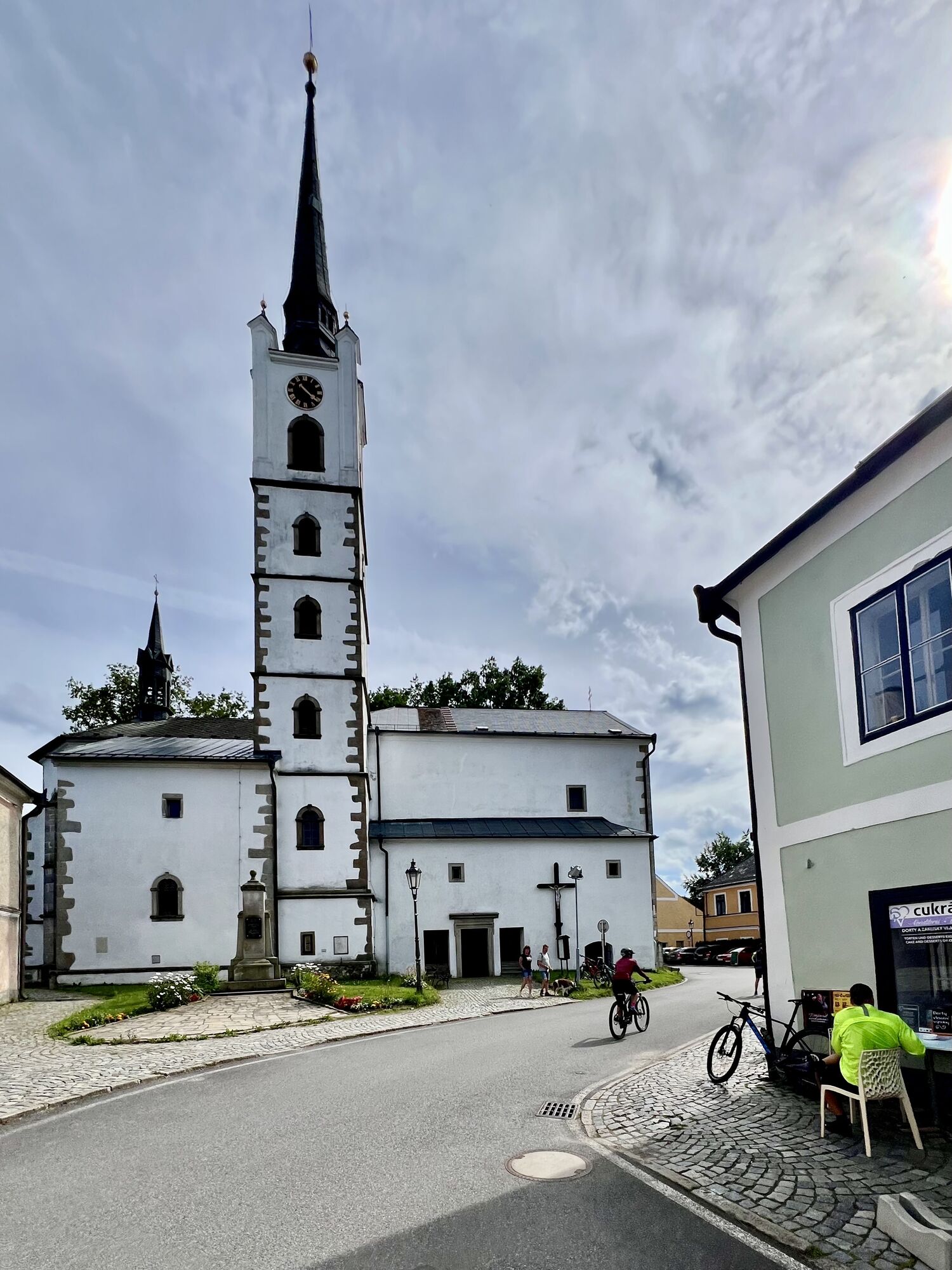
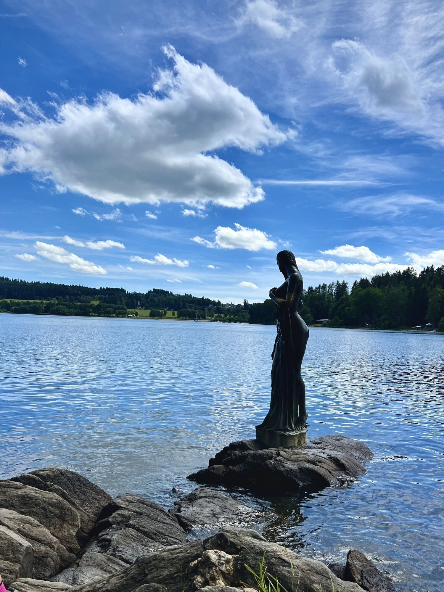
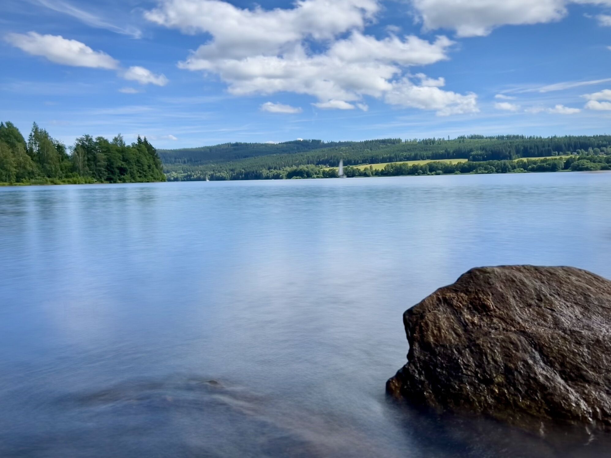
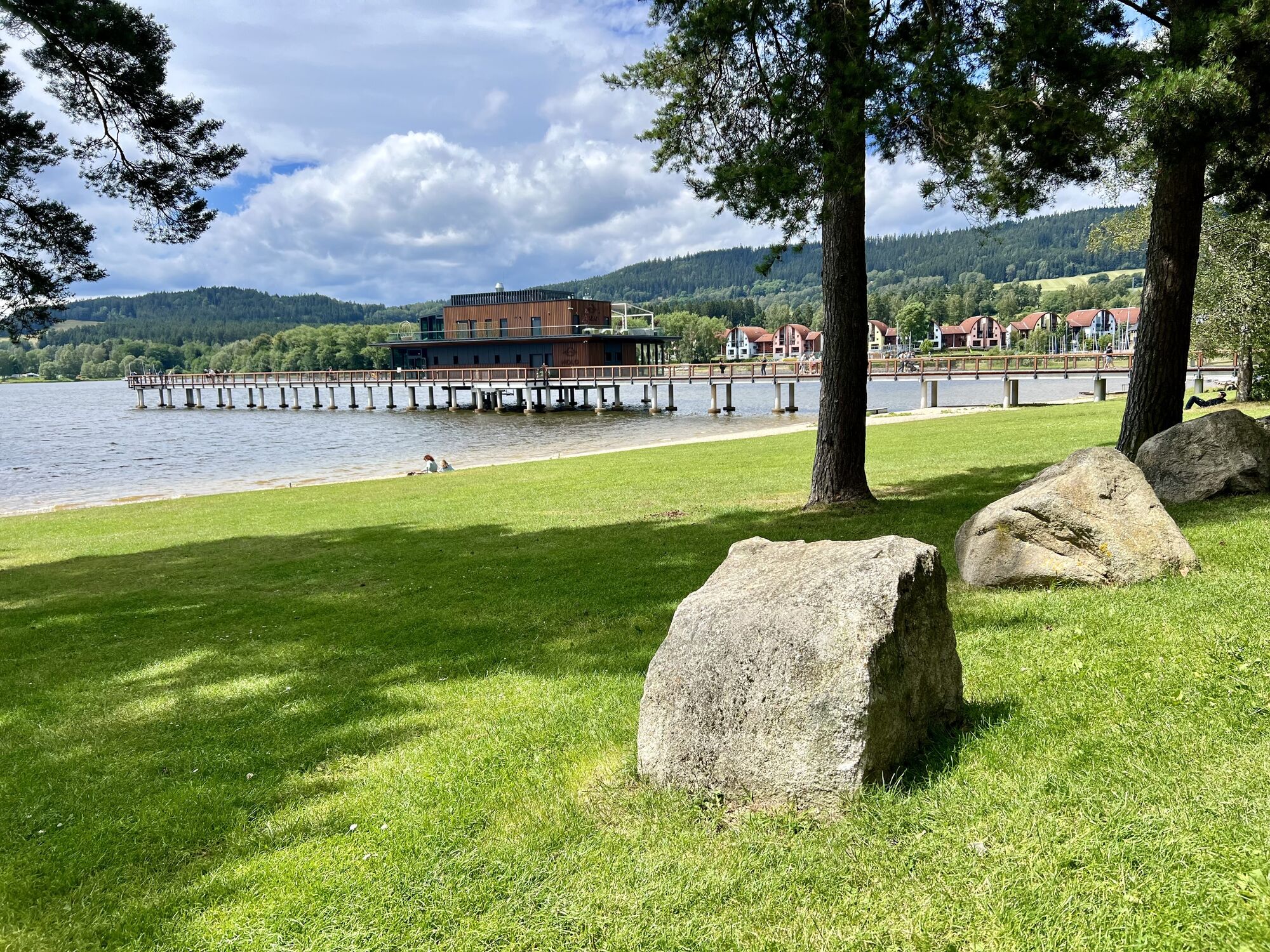
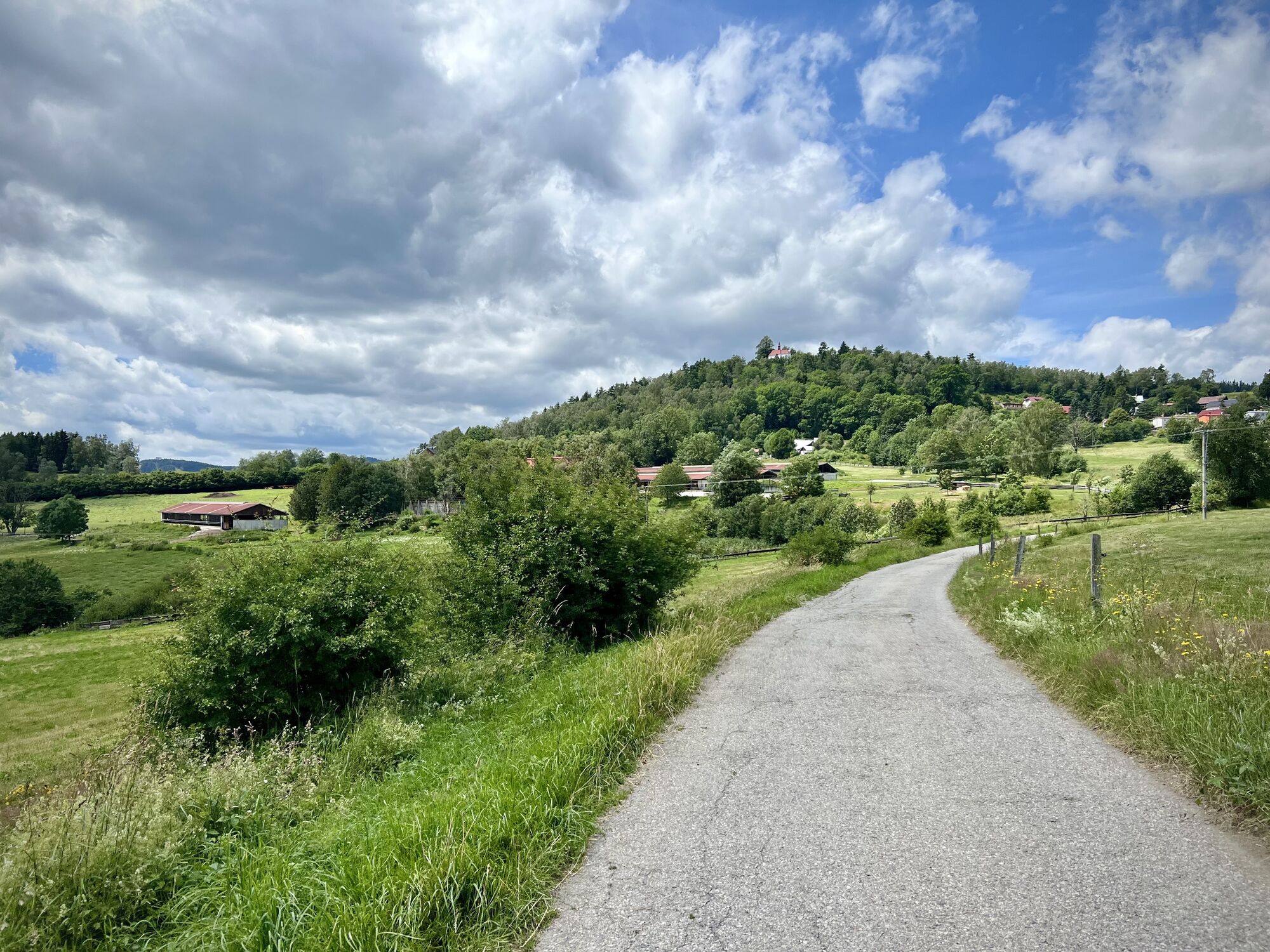
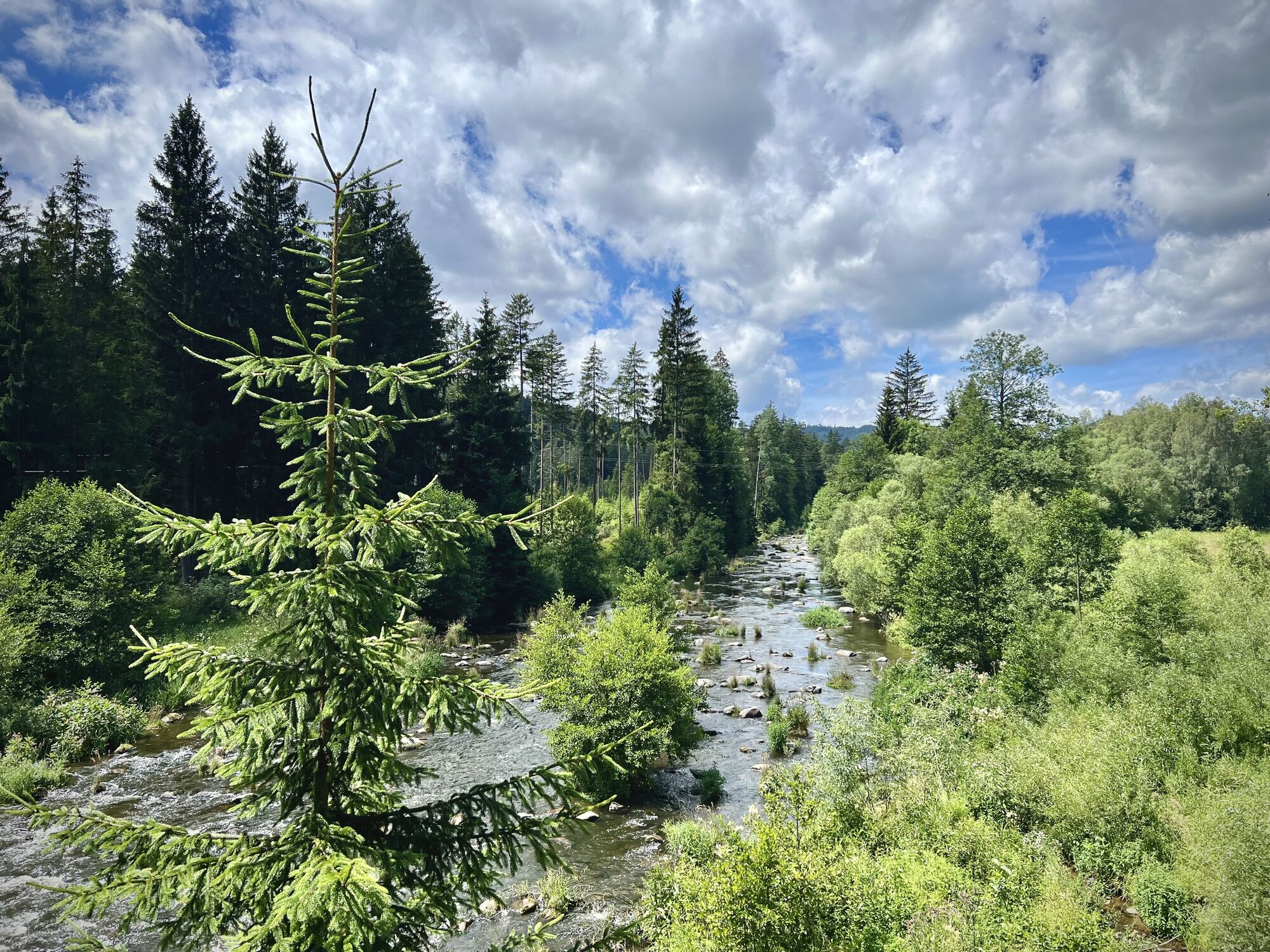
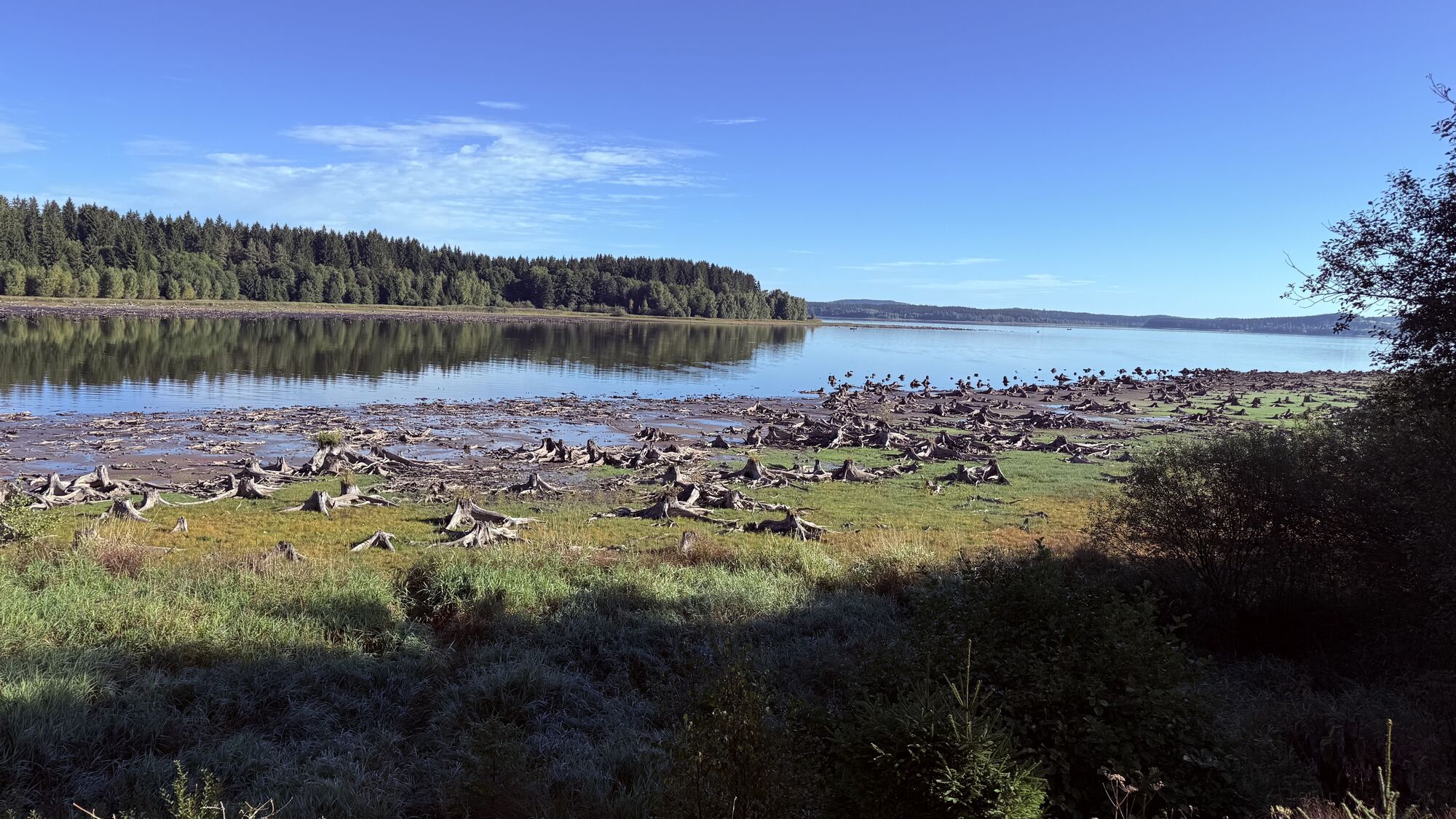
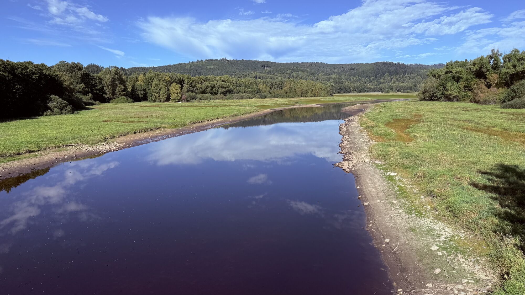
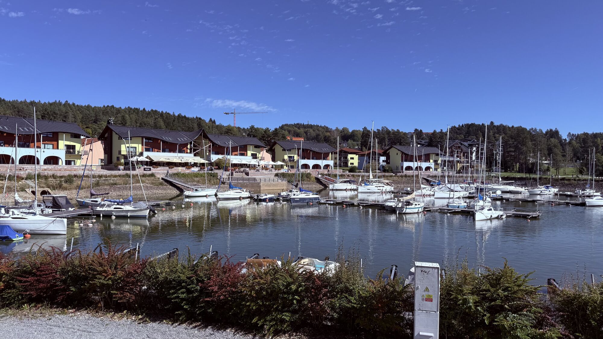
Photos from our users
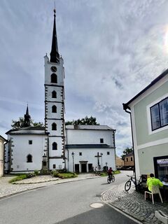
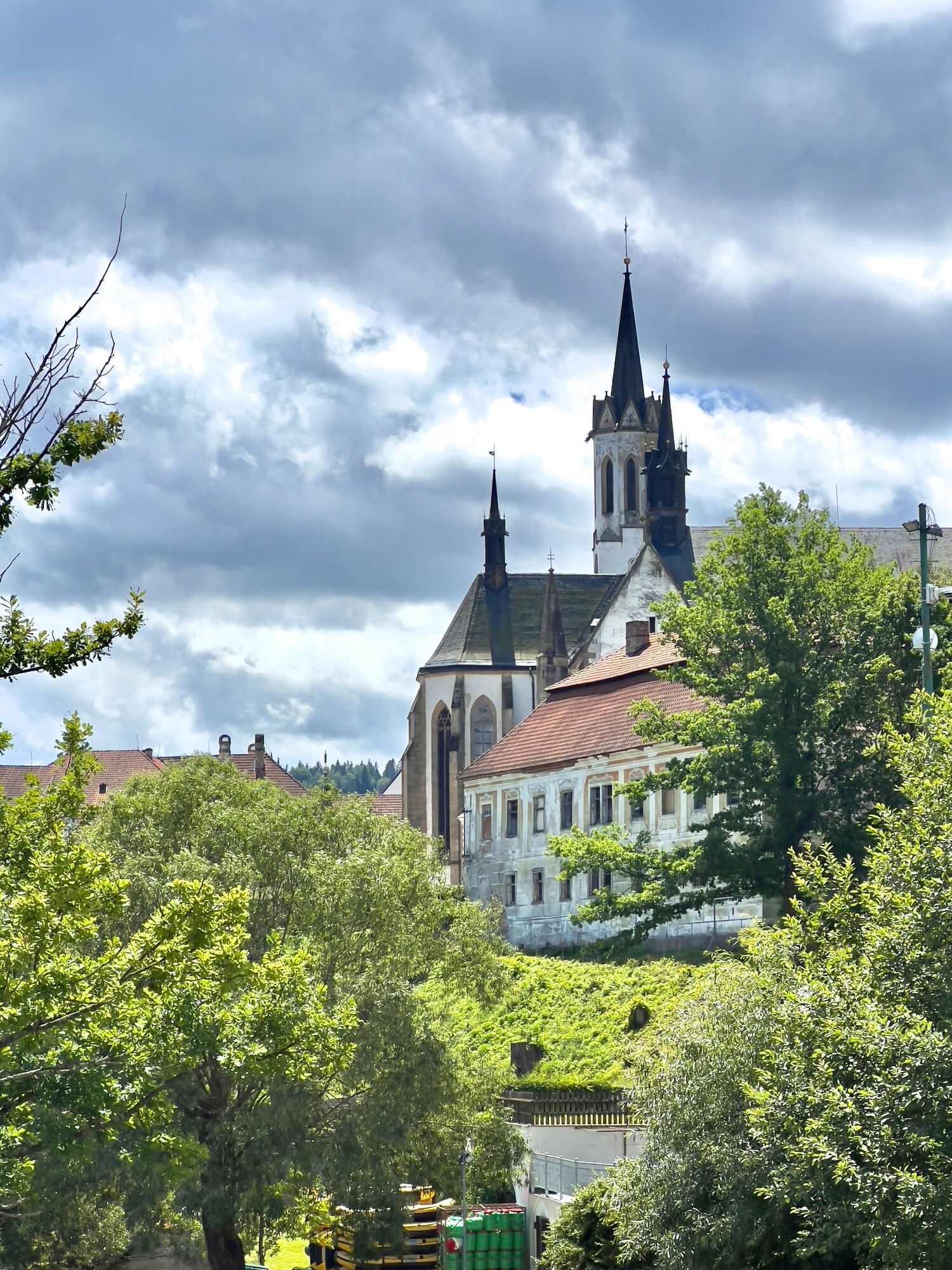
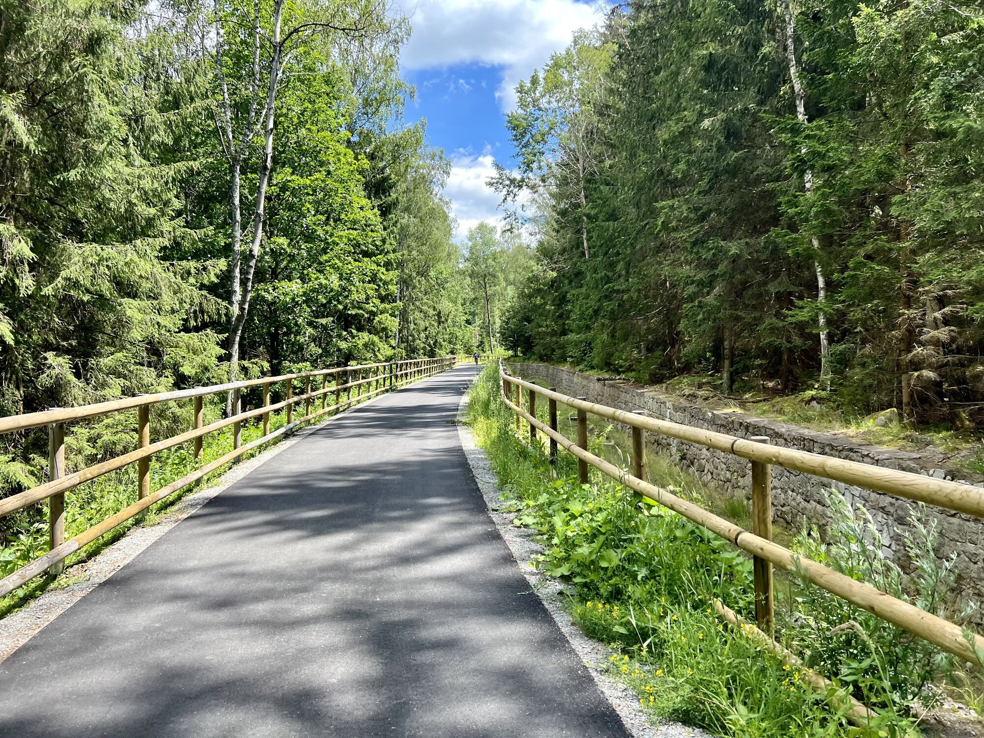
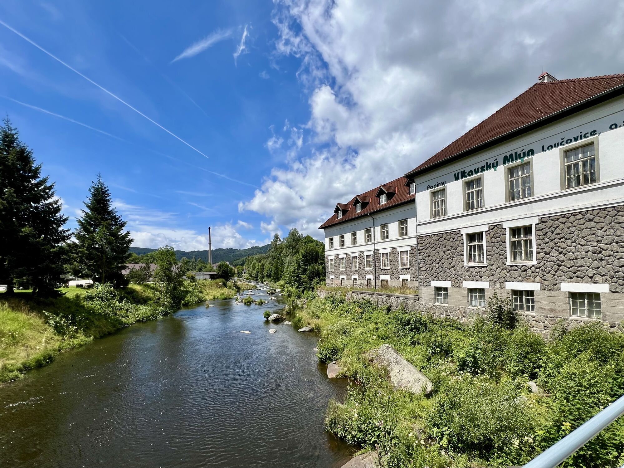
 © Václav StejskalCreated on 05.07.2024
 © Václav StejskalCreated on 05.07.2024
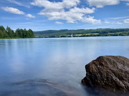 © Václav StejskalCreated on 05.07.2024
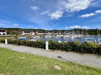 © Václav StejskalCreated on 05.07.2024
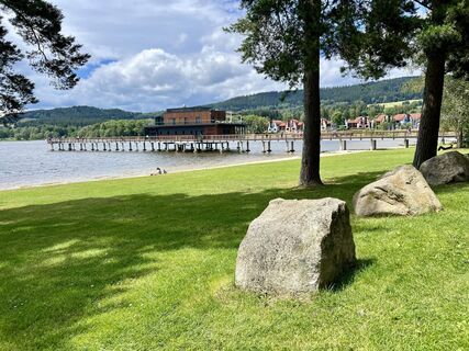 © Václav StejskalCreated on 05.07.2024
 © Václav StejskalCreated on 05.07.2024
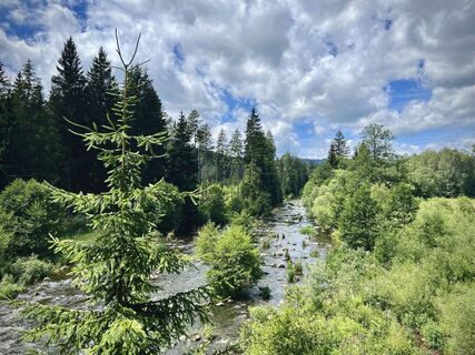 © Václav StejskalCreated on 05.07.2024
 © Václav StejskalCreated on 05.07.2024
 © Václav StejskalCreated on 05.07.2024
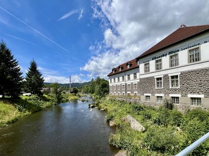 © Václav StejskalCreated on 05.07.2024

Route
Rohrbach
(603 m)
City
6,0 km
Kirche St.Oswald
(659 m)
Place of worship
16,9 km
Bližší Lhota
(740 m)
Village
36,9 km
Horní Planá
(772 m)
City
52,0 km
Milná
(778 m)
Village
71,6 km
svatý Filip a Jakub
(735 m)
Place of worship
98,3 km
Donatuskapelle
(476 m)
Place of worship
124,8 km
Route
Arnreit-Lipno/Stauseeumrundung
medium
E-Bike
129,72
km
Arnreit
(604 m)
Village
0,1 km
Getzing
(607 m)
Settlement
1,2 km
Neundling
(590 m)
Settlement
2,6 km
Scheiblberg
(585 m)
Settlement
3,4 km
Rohrbach
(603 m)
City
6,0 km
Stadtpfarrkirche
(606 m)
Place of worship
6,1 km
Berg
(637 m)
Village
6,6 km
Rohrbach-Berg
(622 m)
Railway station
7,3 km
Sexling
(605 m)
Settlement
8,4 km
Gintersberg
(588 m)
Settlement
10,2 km
Märzing
(591 m)
Settlement
10,9 km
Gattergaßling
(560 m)
Settlement
12,4 km
Schwackerreith
(548 m)
Settlement
14,6 km
Laimbach
(574 m)
Settlement
15,9 km
St. Oswald bei Haslach
(659 m)
Village
16,8 km
Kirche St.Oswald
(659 m)
Place of worship
16,9 km
bývalá Dolní Hraničná
(745 m)
Settlement
19,0 km
U Korandy
(790 m)
Corridor/terrain
21,0 km
bývalá Kozí Stráň
(748 m)
Settlement
28,2 km
bývalá Dolní Pestřice
(784 m)
Settlement
30,6 km
Melm
(802 m)
Corridor/terrain
33,0 km
Zadni Hamry
(738 m)
Settlement
35,0 km
Další Lhota
(760 m)
Settlement
35,9 km
U Přívozu
(730 m)
Restaurant
36,8 km
Bližší Lhota
(740 m)
Village
36,9 km
Nové Chalupy
(752 m)
Neighbourhood
43,8 km
Nové Chalupy
(747 m)
Corridor/terrain
44,0 km
Nová Pec
(735 m)
Village
44,4 km
Dlouhý Bor
(734 m)
Neighbourhood
44,6 km
U Mostu
(730 m)
Restaurant
44,8 km
Bělá
(739 m)
Settlement
45,9 km
Hory
(737 m)
Settlement
48,0 km
U viaduktu
(728 m)
Corridor/terrain
49,4 km
Na špici
(732 m)
Corridor/terrain
50,3 km
Pod tratí
(731 m)
Corridor/terrain
51,0 km
Za nádražím
(731 m)
Corridor/terrain
51,5 km
Horní Planá
(772 m)
City
52,0 km
U Přívozu
(729 m)
Corridor/terrain
53,2 km
Jenišov
(771 m)
Settlement
55,2 km
Karlovy Dvory
(753 m)
Village
57,4 km
Hůrka
(736 m)
Village
58,5 km
Rybí restaurace Hůrka
(732 m)
Restaurant
58,9 km
Stará Hůrka
(742 m)
Village
59,2 km
Penzion restaurant U Méďů
(733 m)
Restaurant
59,8 km
Černá v Pošumaví
(729 m)
Railway station
60,3 km
Černá v Pošumaví
(730 m)
Village
62,1 km
Lužní mlýn
(746 m)
Corridor/terrain
69,5 km
Milná
(778 m)
Village
71,6 km
Penzion Restaurace Kovářov
(766 m)
Restaurant
73,7 km
Kovářov
(766 m)
Settlement
73,7 km
Restaurace u Bajera
(767 m)
Restaurant
73,8 km
Hotel Fontana
(761 m)
Restaurant
76,1 km
Hrdoňov
(756 m)
Settlement
76,1 km
Posudov
(761 m)
Village
77,9 km
Frymburk
(737 m)
Village
81,8 km
Frymburk
(723 m)
Ferry landing stage
82,2 km
Frymburk
(725 m)
Ferry landing stage
82,5 km
U starého hřbitova
(736 m)
Corridor/terrain
83,3 km
U lískovců
(731 m)
Corridor/terrain
83,7 km
U skalky
(731 m)
Corridor/terrain
83,9 km
Marina
(729 m)
Neighbourhood
90,1 km
Doky
(742 m)
Neighbourhood
90,9 km
Lipno nad Vltavou
(783 m)
Village
91,3 km
CycloDepot
(731 m)
Restaurant
97,9 km
Restaurace & Penzion Výtoň
(731 m)
Restaurant
98,1 km
Přední Výtoň
(754 m)
Village
98,2 km
svatý Filip a Jakub
(735 m)
Place of worship
98,3 km
Frýdava
(736 m)
Village
101,6 km
Pasečná
(827 m)
Settlement
109,2 km
Jimmy's Pizzeria
(730 m)
Restaurant
112,9 km
Hörleinsödt
(707 m)
Settlement
113,1 km
Hinternberg
(625 m)
Settlement
114,2 km
Haslach an der Mühl
(535 m)
Village
116,6 km
Gasthaus Teufelmühle
(485 m)
Restaurant
121,1 km
Donatuskapelle
(476 m)
Place of worship
124,8 km
Etzerreit
(560 m)
Settlement
126,1 km
Untergahleiten
(600 m)
Settlement
127,2 km
Arnreit
(604 m)
Village
129,3 km
Eckersberg
(587 m)
Settlement
129,6 km
No reviews yet
Popular tours in the neighbourhood
- 4,9
Bärenstein Wilson Holz Rundtour
lightHiking12,9 km - 4,5
Böhmischer Traum mit Schwemmkanalrunde
mediumE-MTB67,7 km - 4,5
Pfarrkirche Aigen - Pfandl - Bärenstein - Aigen-Schlägl
mediumHiking12,2 km - 4,4
Moldaustausee Radroute Nr.800
mediumCycling41,6 km - 4,5
Hochfichtgipgel (1.338m) ab Schöneben by Wilson Holz
lightHiking11,0 km - 5,0
Bärensteiner Doggorunde
mediumWinter hiking6,55 km - 4,7
Schöne Aussicht auf den Moldaustausee
mediumCycling60,5 km - 4,0
bayrische Au
lightHiking4,72 km - 5,0
Wilson Holz—Schwemmkanalrunde Steilstufe St. Oswald
lightHiking16,0 km - 4,5
Schöneben - Kleiner & Großer Bärenstein (1.077m) by Wilson Holz
lightHiking13,8 km
Hiking & Tracking

Over 550.000 tour suggestions, detailed maps and an intuitive route planner make the app a must-have for all nature enthusiasts.

Don't miss out on offers and inspiration for your next holiday
Subscribe to the newsletter
Error
An error has occurred. Please try again.Thank you for your registration
Your e-mail address has been added to the mailing list.
Tours throughout Europe
Austria Switzerland Germany Italy Slovenia France Netherlands Belgium Poland Liechtenstein Czechia Slovakia Spain Croatia Bosnia and Herzegovina Luxembourg Andorra Portugal Iceland United Kingdom Ireland Greece Albania North Macedonia Malta Norway Montenegro Moldova Kosovo Hungary San Marino Romania Estonia Latvia Belarus Cyprus Lithuania Serbia Bulgaria Monaco Denmark Sweden Finland