Lambach - Oberschwaig - Willing - Pfarrkirche St. Vitus
medium
Navigate
Navigate
Get this tour on your mobile
Lambach - Oberschwaig - Willing - Pfarrkirche St. Vitus
medium
Gravelbike
60,31
km
Scan the QR code and start navigation in the bergfex app

Hiking & Tracking


Distance
60,31
km
Duration
03:42
h
Ascent
636
m
Sea level
361 -
584
m
Track download
Lambach - Oberschwaig - Willing - Pfarrkirche St. Vitus
medium
Gravelbike
60,31
km


Photos from our users

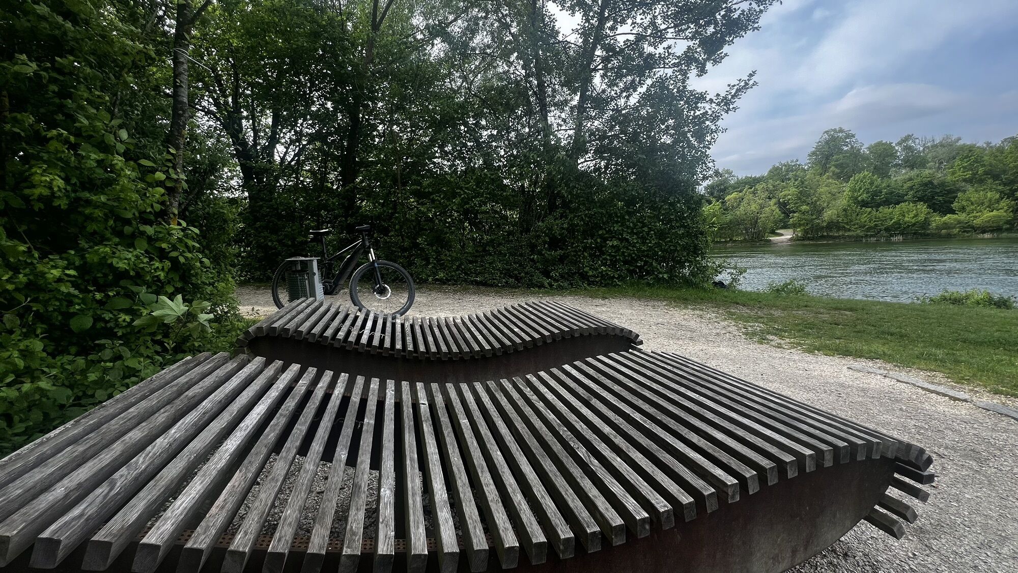
 © Reinhold BruestleCreated on 06.07.2024
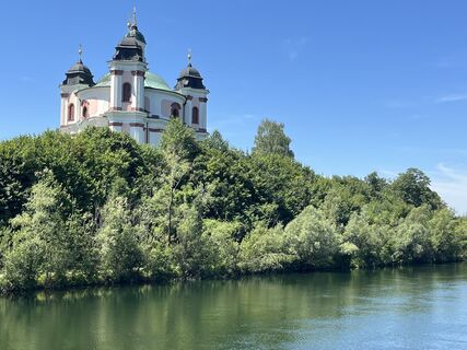 © Reinhold BruestleCreated on 06.07.2024
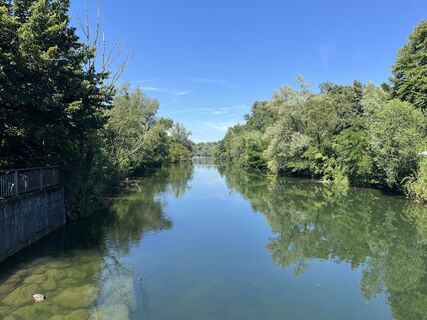 © Reinhold BruestleCreated on 06.07.2024
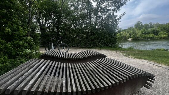
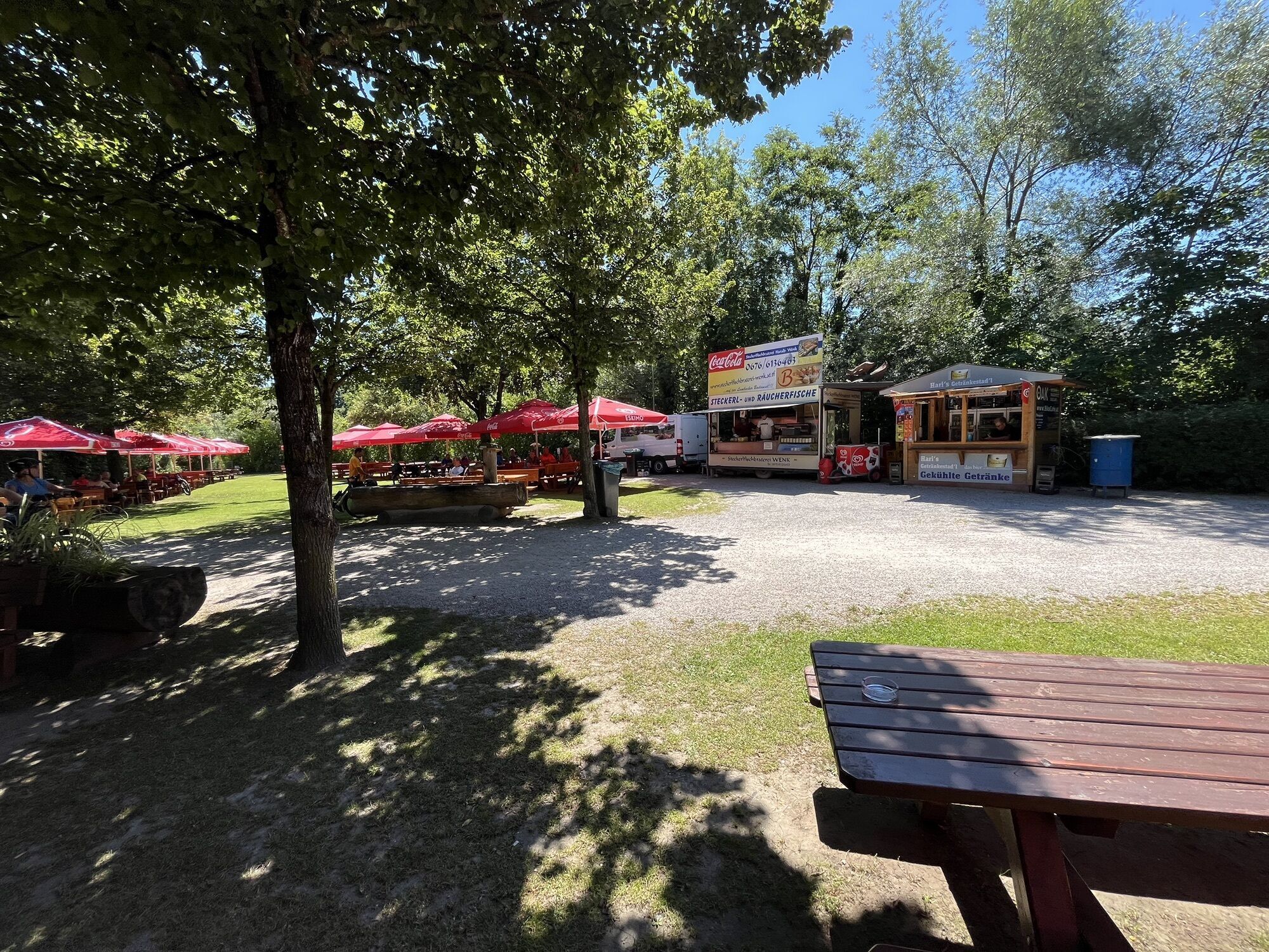
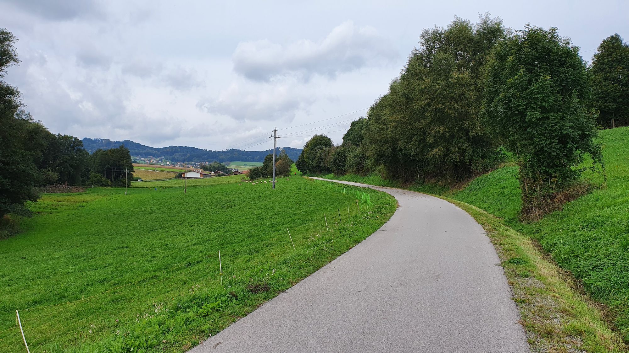
 © SehcupCreated on 05.05.2024
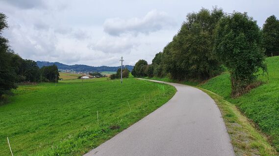
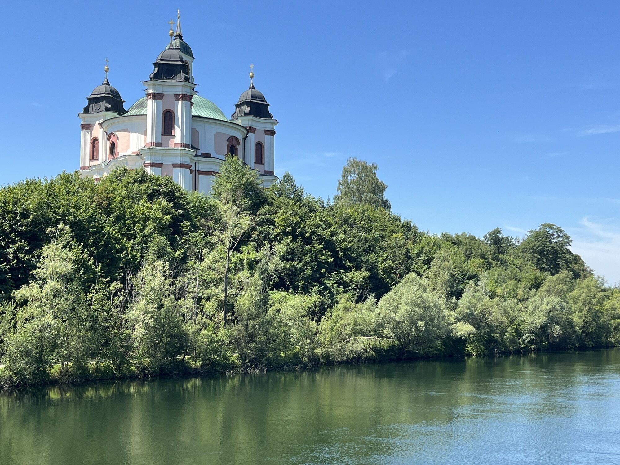
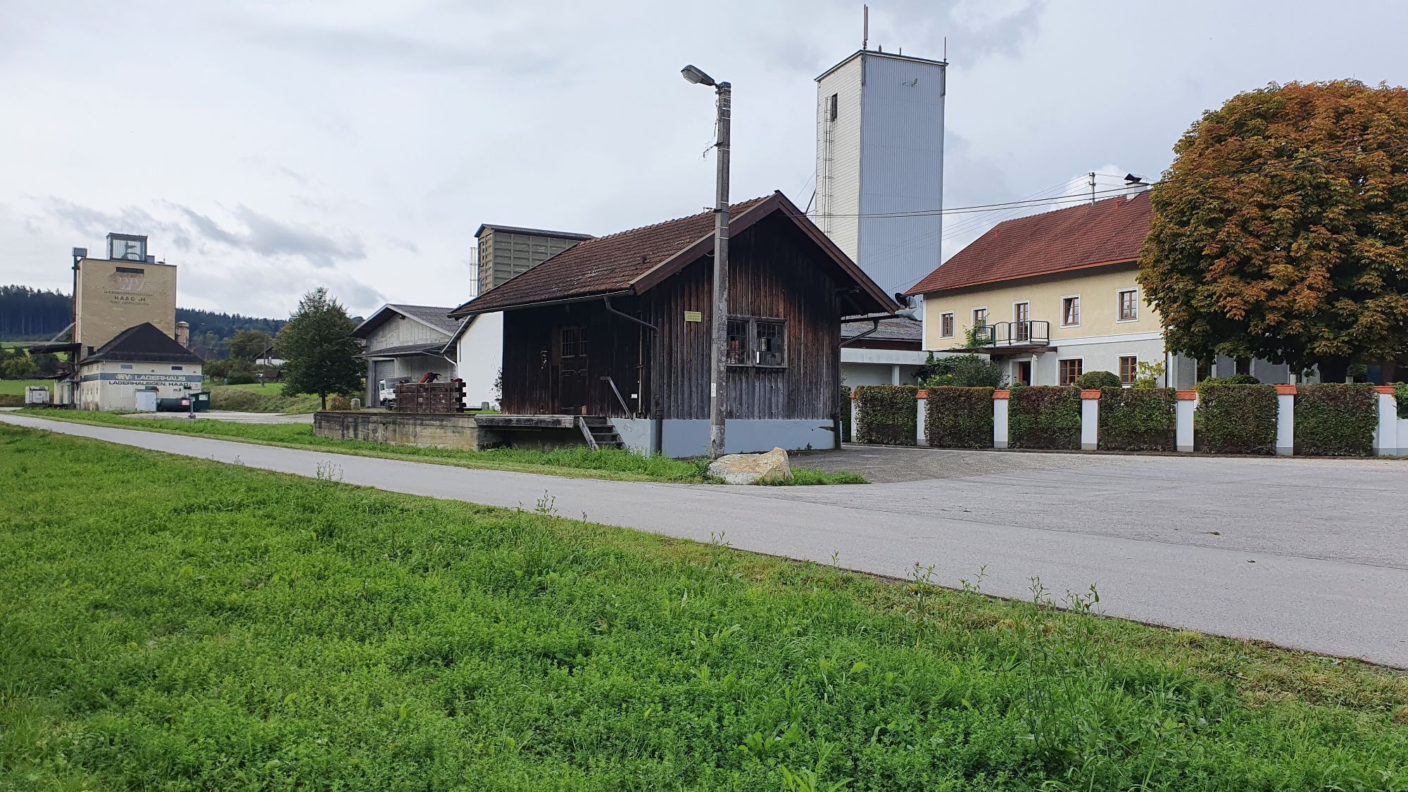
 © Hs StarzengruberCreated on 01.10.2022
 © Hs StarzengruberCreated on 01.10.2022
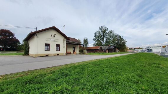 © Hs StarzengruberCreated on 01.10.2022
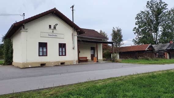 © Hs StarzengruberCreated on 01.10.2022


Route
Lambach
(369 m)
Village
0,2 km
Eggerding
(467 m)
Settlement
14,4 km
Föching
(459 m)
Settlement
16,1 km
Pfarrkirche St. Vitus
(503 m)
Place of worship
27,9 km
Brunnberg
(543 m)
Settlement
28,4 km
Bergham
(580 m)
Settlement
32,2 km
Trattnach
(481 m)
Settlement
37,1 km
Route
Lambach - Oberschwaig - Willing - Pfarrkirche St. Vitus
medium
Gravelbike
60,31
km
Lambach
(369 m)
Village
0,2 km
Oberschwaig
(384 m)
Settlement
4,8 km
Willing
(388 m)
Settlement
7,3 km
Oberseling
(440 m)
Settlement
11,0 km
Bachhäuseln
(443 m)
Settlement
12,3 km
Hörbach
(444 m)
Settlement
12,4 km
Eggerding
(467 m)
Settlement
14,4 km
Obeltsham
(464 m)
Settlement
15,1 km
Föching
(459 m)
Settlement
16,1 km
Obergmain
(524 m)
Settlement
20,2 km
Jausenstation Malvent
(475 m)
Restaurant
21,8 km
Schwarzgrub
(455 m)
Village
22,6 km
Unterlehen
(458 m)
Settlement
22,8 km
Pesendorf
(448 m)
Settlement
23,6 km
Schwarzschachen
(488 m)
Settlement
24,5 km
Untermeggenbach
(478 m)
Settlement
25,2 km
Grolzham
(491 m)
Village
25,9 km
Obermeggenbach
(491 m)
Settlement
26,0 km
Hochfeld
(503 m)
Settlement
26,9 km
Manichgattern
(507 m)
Settlement
27,5 km
Hatscheksiedlung
(511 m)
Settlement
27,6 km
Haag am Hausruck
(507 m)
Village
27,8 km
Pfarrkirche St. Vitus
(503 m)
Place of worship
27,9 km
Oberntor
(535 m)
Settlement
28,1 km
Brunnberg
(543 m)
Settlement
28,4 km
Luisenhöhe
(605 m)
Settlement
28,7 km
Ditting
(567 m)
Settlement
29,0 km
Kreuzerfeld
(529 m)
Settlement
29,4 km
Letten
(580 m)
Settlement
30,3 km
Odelboding
(576 m)
Settlement
31,1 km
Mostheuriger Hausl´s
(572 m)
Restaurant
31,2 km
Buchet
(580 m)
Settlement
32,1 km
Bergham
(580 m)
Settlement
32,2 km
Aspet
(547 m)
Settlement
33,1 km
Gasthof Reiterhof Pichler
(551 m)
Restaurant
33,4 km
Ledererwirt
(550 m)
Restaurant
33,4 km
Geboltskirchen
(552 m)
Village
33,4 km
Piesing
(519 m)
Settlement
34,9 km
Erlet
(489 m)
Settlement
35,8 km
Marschalling
(486 m)
Settlement
36,1 km
Trattnach
(481 m)
Settlement
37,1 km
Schwarzgrub
(455 m)
Village
38,3 km
Schwarzgrub. Das Wirtshaus
(457 m)
Restaurant
38,3 km
Jausenstation Malvent
(475 m)
Restaurant
39,2 km
Obergmain
(524 m)
Settlement
40,8 km
Föching
(459 m)
Settlement
44,8 km
Obeltsham
(464 m)
Settlement
45,8 km
Eggerding
(467 m)
Settlement
46,6 km
Bachhäuseln
(443 m)
Settlement
48,5 km
Hörbach
(444 m)
Settlement
48,7 km
Oberseling
(440 m)
Settlement
50,0 km
Willing
(388 m)
Settlement
53,5 km
Oberschwaig
(384 m)
Settlement
56,1 km
Lambach
(369 m)
Village
60,1 km
Last tracked
3 weeks ago
No reviews yet
Popular tours in the neighbourhood
- 5,0
Naturerlebnisweg FUXI: Wohlfühlstadt Vöcklabruck
lightHiking2,70 km Bahntrassenradweg Haager Lies
lightCycling21,7 km- 3,3
Viel Wasser
lightHiking12,2 km - 3,0
Haag am Hausruck, Hausruckwaldrunde Oberntor, Oberösterreich
lightHiking5,31 km - 2,8
Wilson Holz-Hausruck-Höhenweg
lightHiking13,1 km - 5,0
Ampflwanger Höhenrundweg „100er“
mediumHiking21,0 km - 4,5
Wald der Kinder
Hiking1,34 km - 3,0
Thalheim-Gmunden-Thalheim Thalheim bei Wels, Österreich
mediumMountainbike92,4 km - 4,3
VENUS_RUNDE
lightHiking10,5 km - 4,0
Radtour Kraftwerk Lambach
lightMountainbike18,7 km
Hiking & Tracking

Over 550.000 tour suggestions, detailed maps and an intuitive route planner make the app a must-have for all nature enthusiasts.

Don't miss out on offers and inspiration for your next holiday
Subscribe to the newsletter
Error
An error has occurred. Please try again.Thank you for your registration
Your e-mail address has been added to the mailing list.
Tours throughout Europe
Austria Switzerland Germany Italy Slovenia France Netherlands Belgium Poland Liechtenstein Czechia Slovakia Spain Croatia Bosnia and Herzegovina Luxembourg Andorra Portugal Iceland United Kingdom Ireland Greece Albania North Macedonia Malta Norway Montenegro Moldova Kosovo Hungary San Marino Romania Estonia Latvia Belarus Cyprus Lithuania Serbia Bulgaria Monaco Denmark Sweden Finland