Zugangsweg Sauerland-Höhenflug: Von Ostentrop zum Sauerland-Höhenflug
light
Navigate
Navigate
Get this tour on your mobile
Zugangsweg Sauerland-Höhenflug: Von Ostentrop zum Sauerland-Höhenflug
light
Hiking
2,48
km
Scan the QR code and start navigation in the bergfex app

Hiking & Tracking


Distance
2,48
km
Duration
00:35
h
Ascent
163
m
Sea level
310 -
480
m
Track download
Zugangsweg Sauerland-Höhenflug: Von Ostentrop zum Sauerland-Höhenflug
light
Hiking
2,48
km


Author
Provided by Sauerland-Tourismus e.V.
The tour Zugangsweg Sauerland-Höhenflug: Von Ostentrop zum Sauerland-Höhenflug is provided by outdooractive.com.

Route information
Route
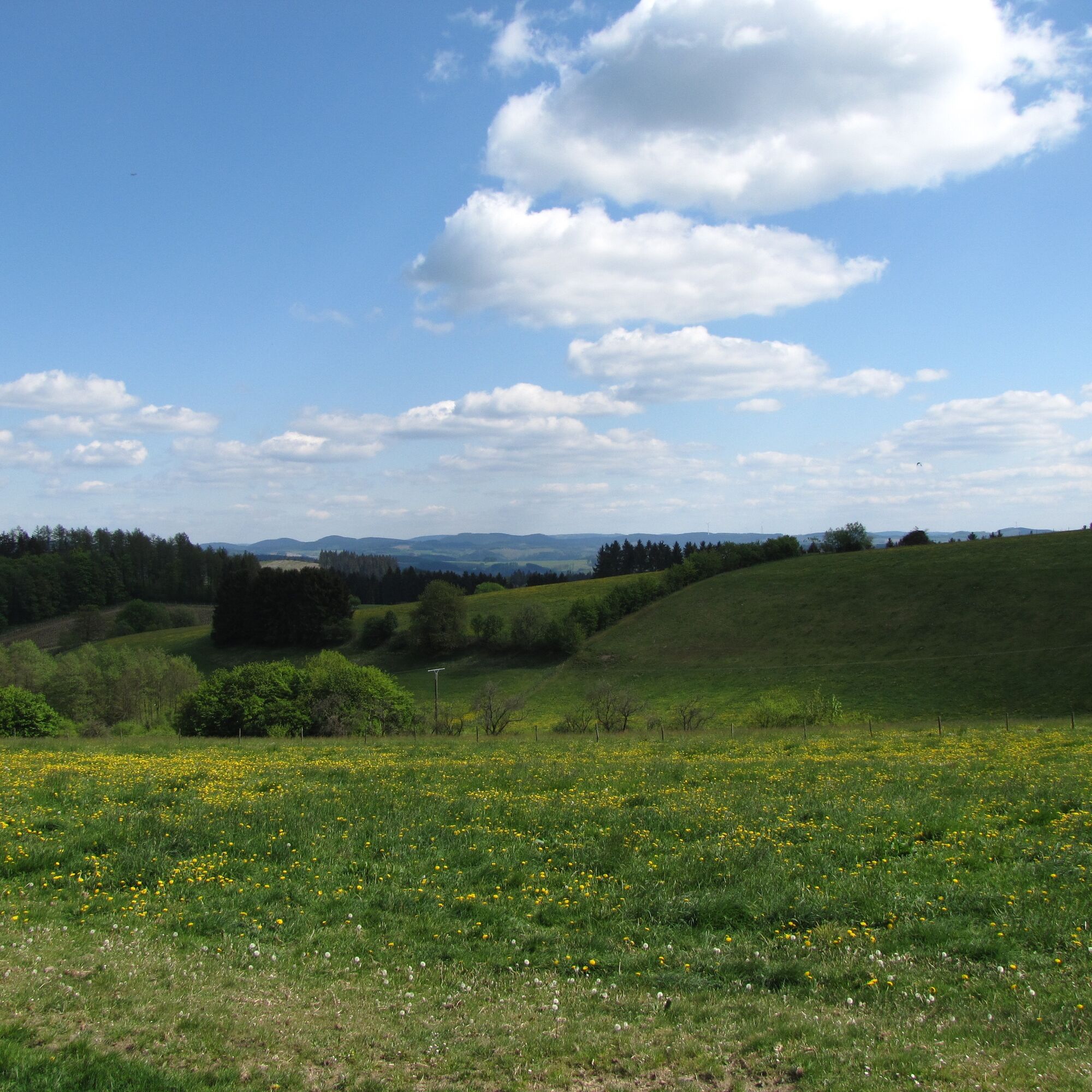
Der Zugangsweg startet in der Ortsmitte von Ostentrop. Hier beginnt auch der Zugangsweg über Schönholthausen nach Lenhausen. Dieser Zugangsweg folgt dem Fluss Bermecke und trifft am Sterlberg mit herrlicher Aussicht auf den Sauerland-Höhenflug. Von hier kannst Du entweder in Richtung Weuspert oder zum Oberbecken und weiter in Richtung Lenhausen wandern.
Equipment
keine besondere Ausrüstung erforderlich
Arrival information
Arrival
Über die B236 erreichen Sie Lenhausen, wo Sie im Ort abbiegen auf die L737. In Müllen biegen Sie links ab und erreichen über Schönholthausen Ostentrop.
Parking
Am Gasthof Melcher, Dorfstraße 8
Additional information & tips
Additional information
www.sauerland-hoehenflug.de
Service- und Buchungshotline des Sauerland-Höhenflugs: 02974 - 202 199
No reviews yet
Popular tours in the neighbourhood
- 3,5
The Fickeltünnes Trail - Hiking on the history hiking trail around Allendorf
mediumThematic route14,3 km Nature Experience Trail - Hohe Bracht
mediumHiking0,86 kmRundwanderweg Linnepe
mediumHiking8,36 kmPlettenberg: History Route XL
mediumCycling40,3 kmSauerland-Höhenflug: From Wildewiese to Wenholthausen
mediumHiking18,4 kmPlettenberg: Town-Countryside-River Route
heavyCycling62,9 kmIce cream and café route Plettenberg-Herscheid with Oestertalsperre
mediumCycling31,8 kmPlettenberg: History Route XS
lightCycling9,07 kmVeischeder Sonnenpfad
mediumHiking37,6 kmSauerländer Siebengebirge (SR3)
mediumCycling32,2 km
Hiking & Tracking

Over 550.000 tour suggestions, detailed maps and an intuitive route planner make the app a must-have for all nature enthusiasts.

Don't miss out on offers and inspiration for your next holiday
Subscribe to the newsletter
Error
An error has occurred. Please try again.Thank you for your registration
Your e-mail address has been added to the mailing list.
Tours throughout Europe
Austria Switzerland Germany Italy Slovenia France Netherlands Belgium Poland Liechtenstein Czechia Slovakia Spain Croatia Bosnia and Herzegovina Luxembourg Andorra Portugal Iceland United Kingdom Ireland Greece Albania North Macedonia Malta Norway Montenegro Moldova Kosovo Hungary San Marino Romania Estonia Latvia Belarus Cyprus Lithuania Serbia Bulgaria Monaco Denmark Sweden Finland