


Tip/Fun fact: The wild service tree is a rare wild fruit tree that can live up to 300 years. Its fruits are turned into genuine culinary delights in numerous inns in the region. See for yourself!

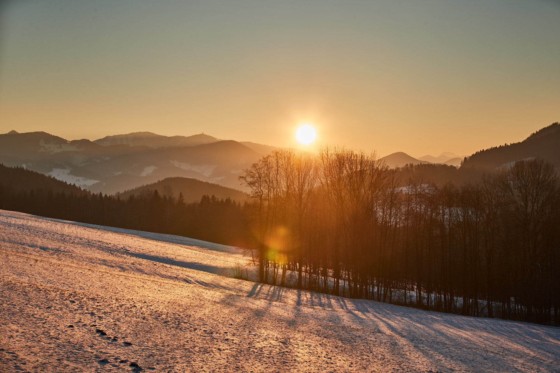
We start our route at the Laaben municipal office heading west, cross the Laabenbach, and then turn right onto the second street. For about 300 m we use the Laaben valley cycle path. Afterwards, we go up to the left over a forest and meadow path to the settlement Pirat. In the middle of the forest, we reach the long-distance hiking trail 04 and follow it until shortly past a farm. On an asphalted farm road, we come back down to the state road, where we turn right towards Brand. In Brand, we turn onto Kirchenweg opposite the church and follow it. Past the tennis court and the chapel of St. Florian (a nice rest spot), a pleasant, shaded path beside the stream leads us back into the village.
Yes
Yes
Sturdy footwear, water, rain protection
Despite the most careful research, unforeseen short-, medium-, or even long-term closures (e.g., due to forestry restrictions by landowners) may occur on the routes. Recommended parking options may sometimes be private or subject to fees – please pay attention to local signage. Some paths may partly or entirely lead through fee-paying enterprises/areas (e.g., nature parks or gorges). This is usually explicitly noted in the description. All information is without guarantee and use of the paths is at your own risk. Any path closures and notices from hunters and landowners must be observed.
By bus to the Laaben Hauptplatz stop
At the Laaben municipal office
Wienerwald Tourismus GmbH
Hauptplatz 11, 3002 Purkersdorf
Tel.: 02231/62176
E-Mail: office@wienerewal.info
Website: www.wienerwald.info
Dining options along the route
Traditional inns nearby
Landgasthof zur Linde
Popular tours in the neighbourhood
- 4,7
Schöpfl
lightHiking9,52 km - 4,0
Schöpfl von Sankt Corona
mediumHiking10,1 km - 4,5
Hainfelder Hütte: Schöner Rundkurs abseits der Massen
lightHiking10,1 km - 4,8
Panorama Circular Trail
mediumHiking8,87 km - 4,5
Hike 3 pilgrimage churches along idyllic trails
mediumHiking10 km - 4,3
Panorama hike Hafnerberg
lightHiking8,78 km - 4,3
Michelbach Elsbeere Trail
mediumHiking9,95 km - 3,8
Kaumberg Höfnergraben Hocheck Rotes Kreuz Forellenhof retour 07.05.2014
lightHiking9 km - 4,0
Gföhlberg
lightHiking6,83 km - 4,2
Circular hike to the Araburg
lightHiking8,68 km
Hiking & Tracking


Don't miss out on offers and inspiration for your next holiday
Your e-mail address has been added to the mailing list.