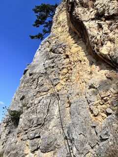
Höflein Wanderung mit Klettersteig
heavy
Navigate
Navigate
Get this tour on your mobile
Höflein Wanderung mit Klettersteig
heavy
Hiking
4.39
km
Scan the QR code and start navigation in the bergfex app

Hiking & Tracking


Distance
4.39
km
Duration
01:25
h
Ascent
459
m
Sea level
506 -
964
m
Track download
Höflein Wanderung mit Klettersteig
heavy
Hiking
4.39
km


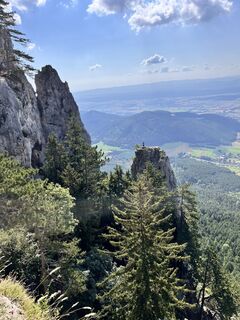
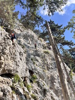
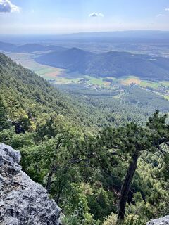
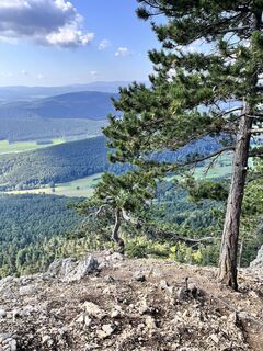
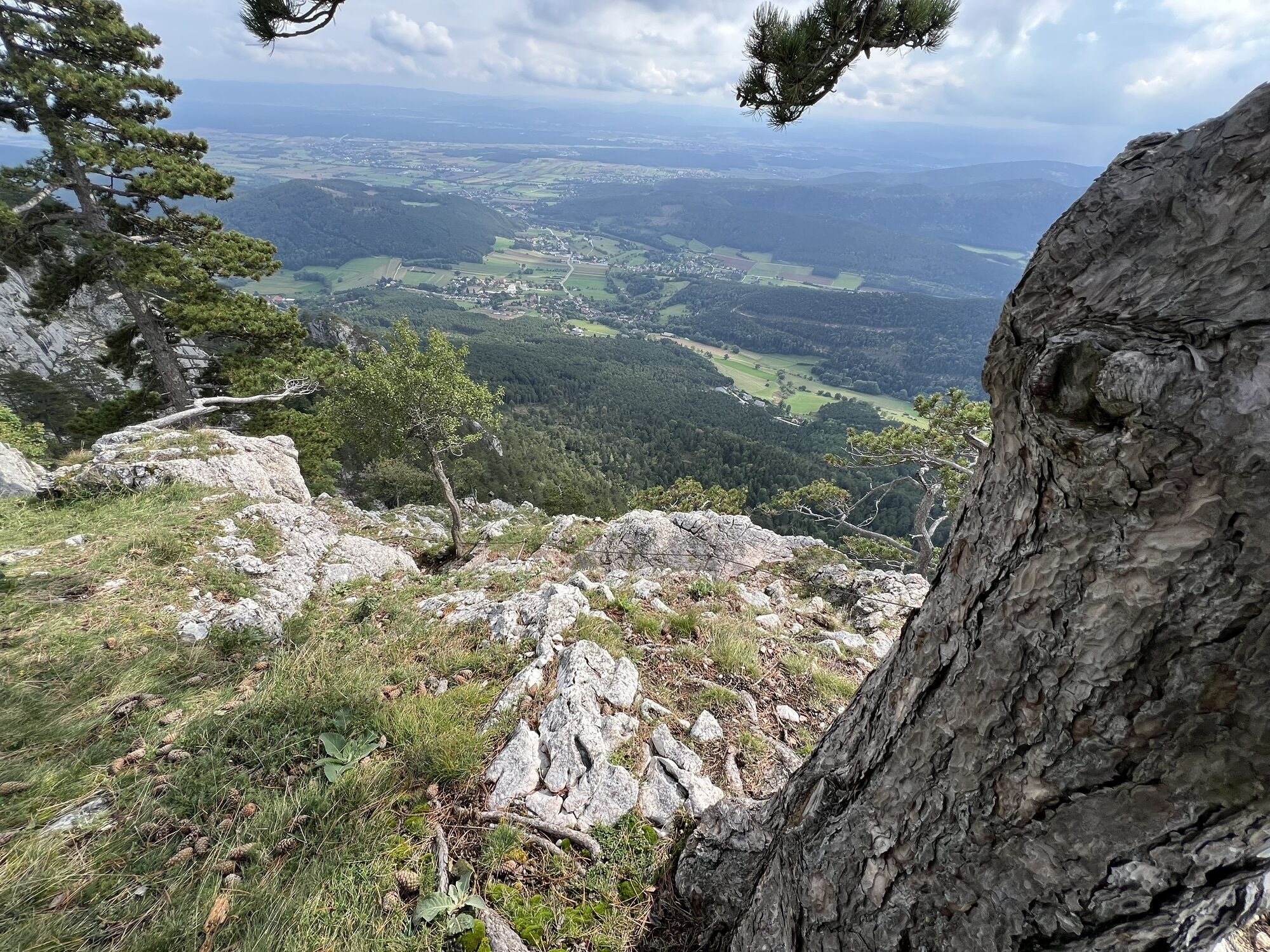
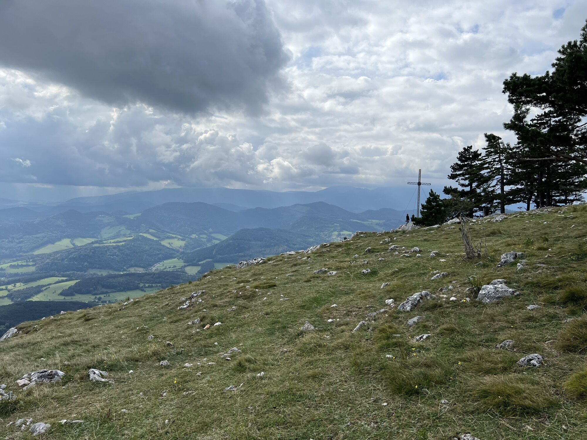
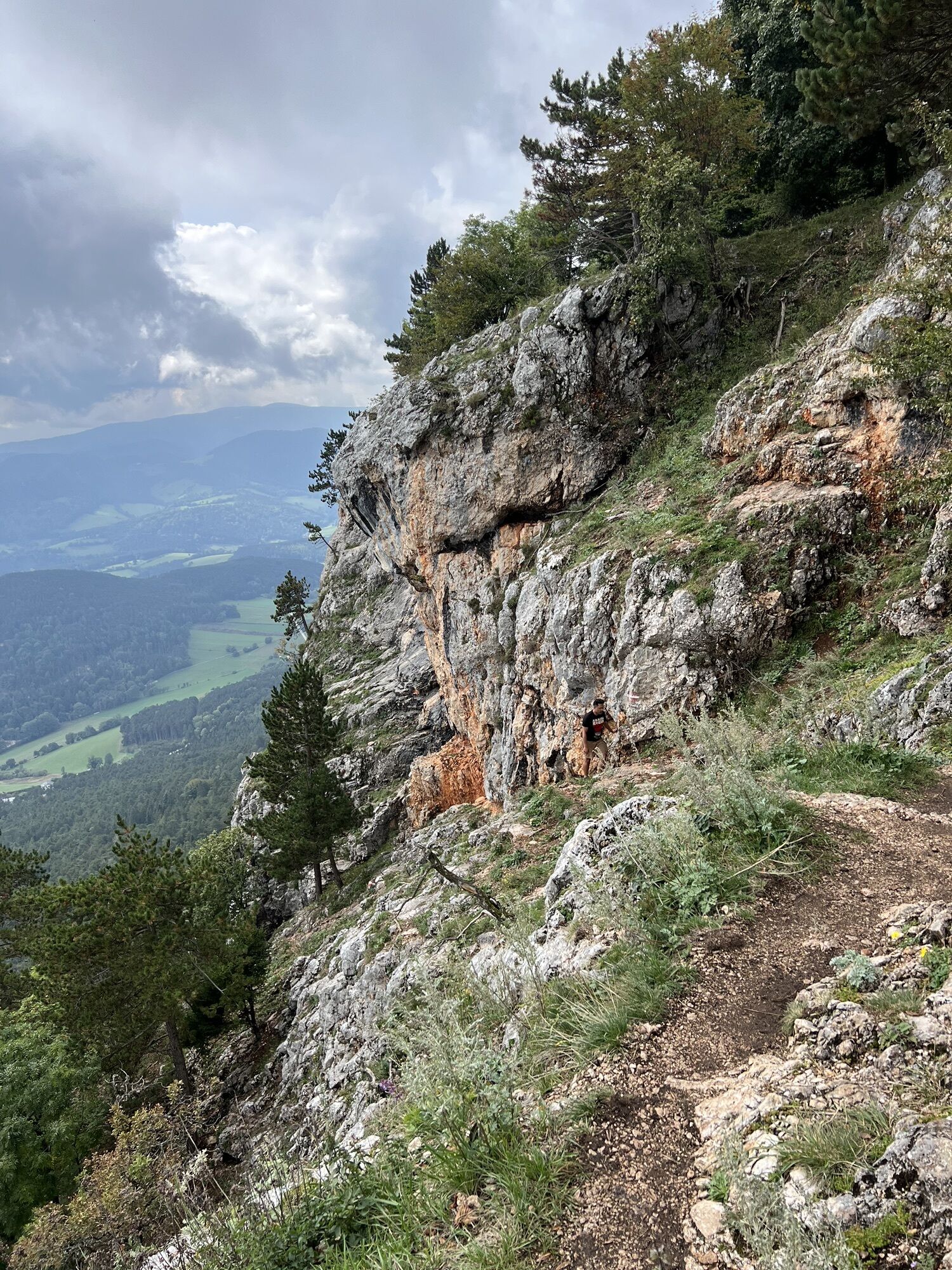
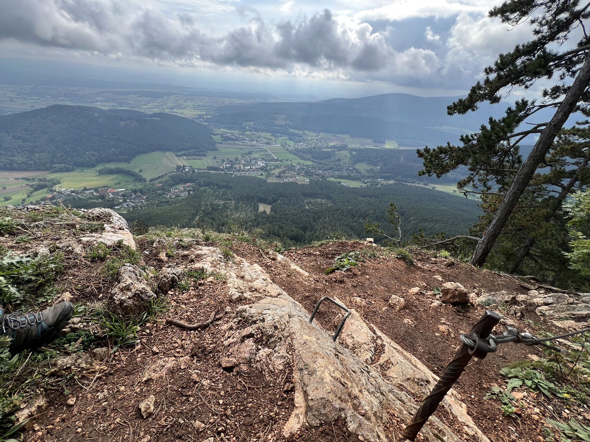
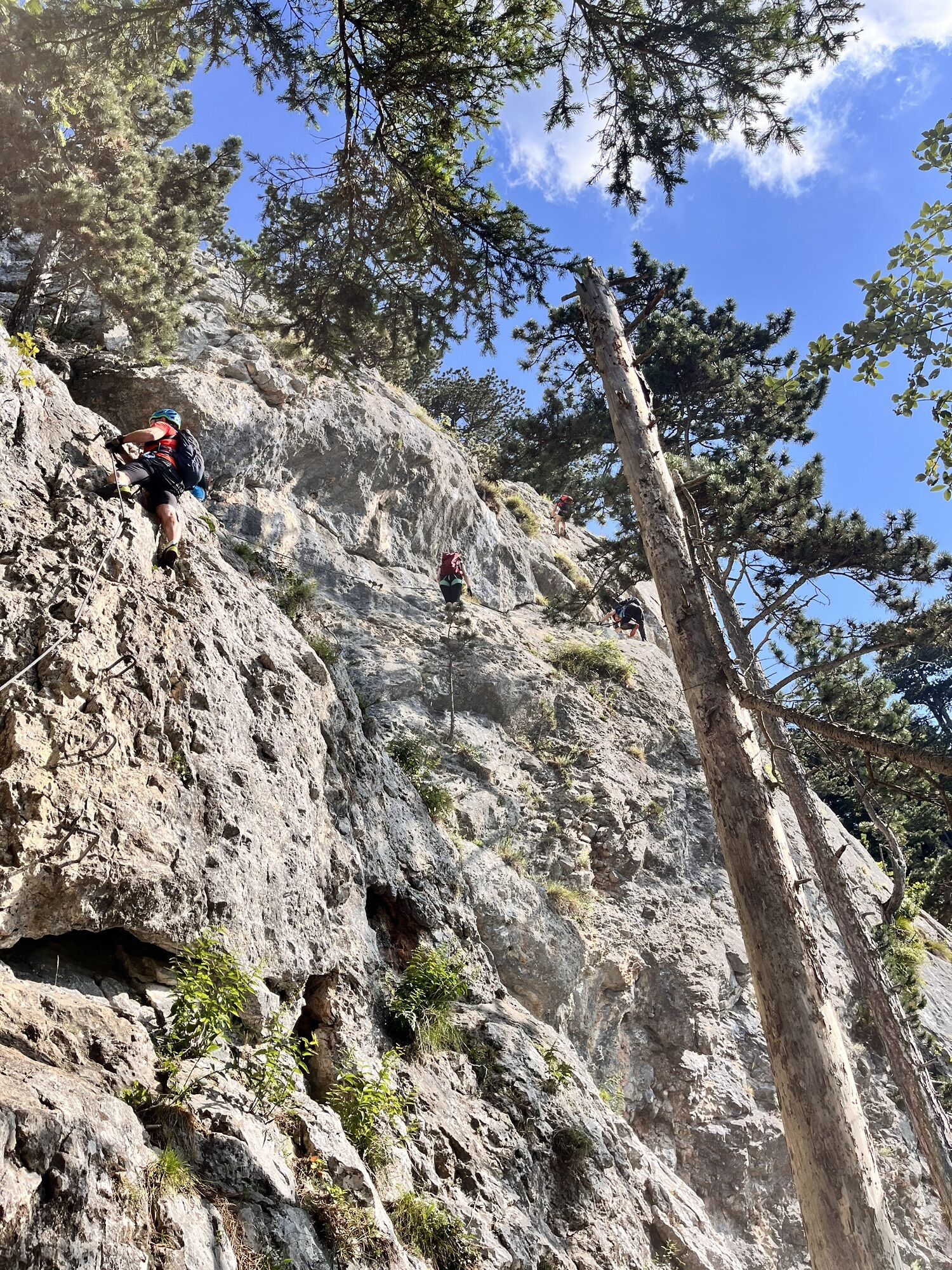
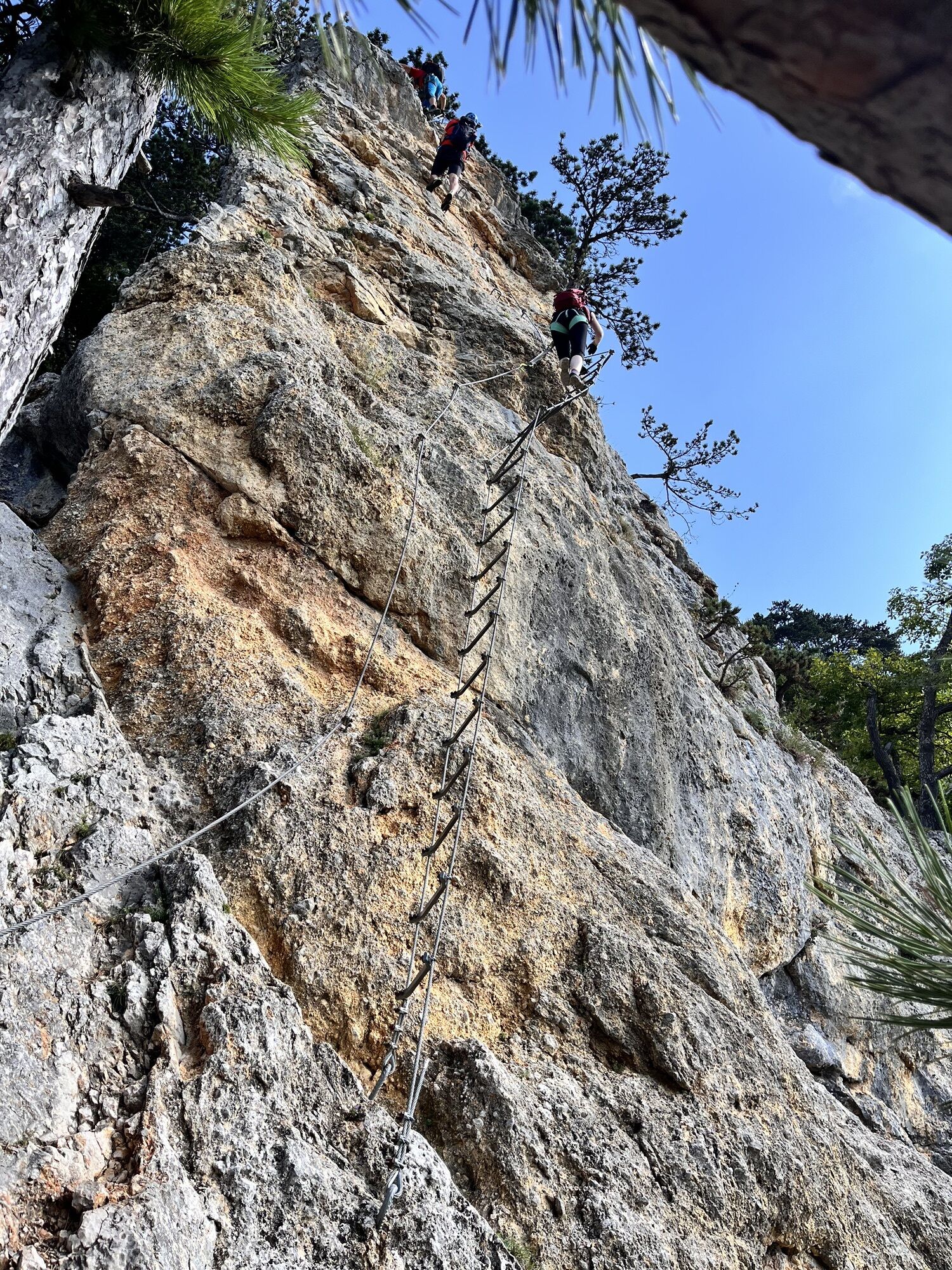
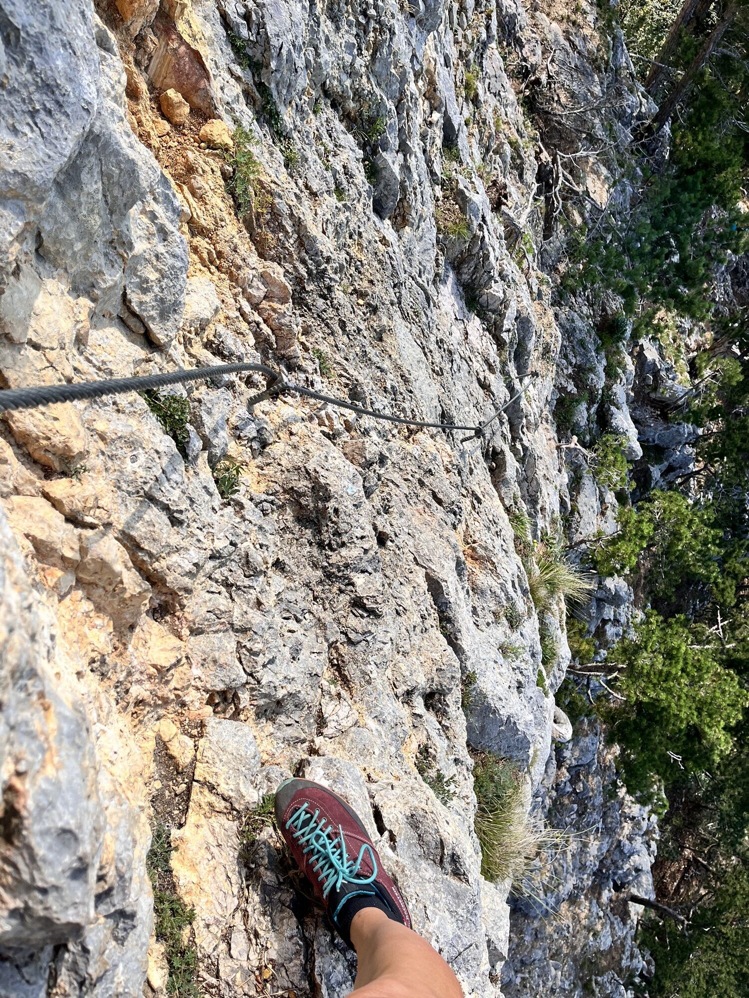
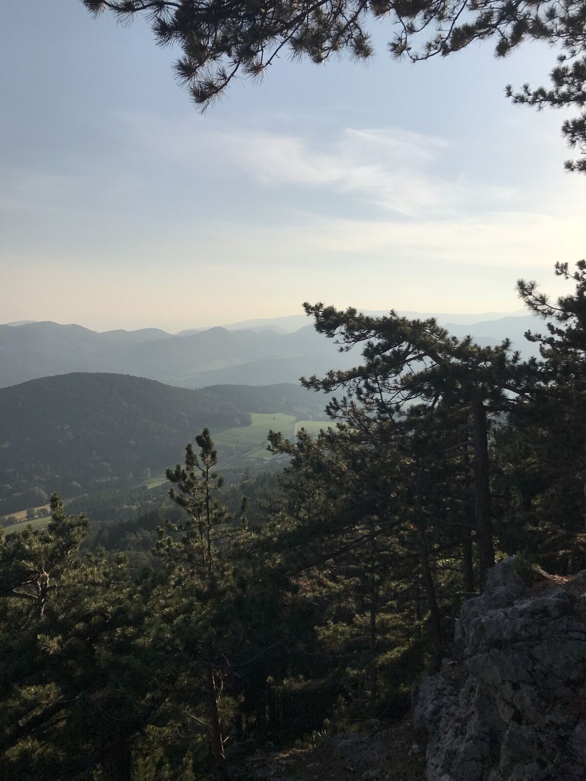
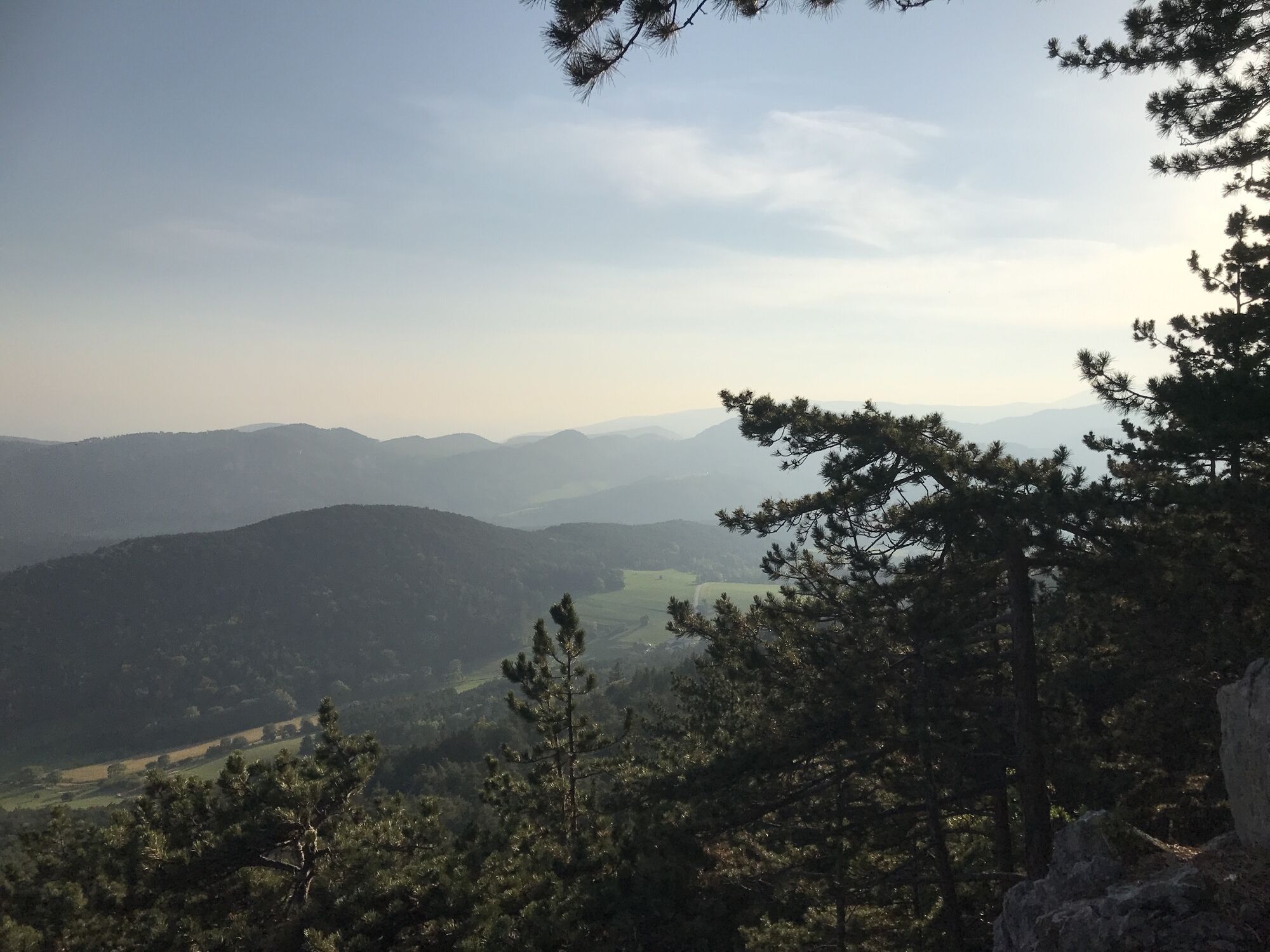
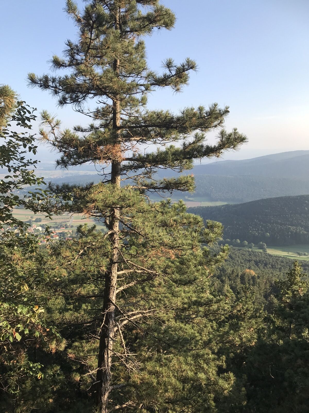
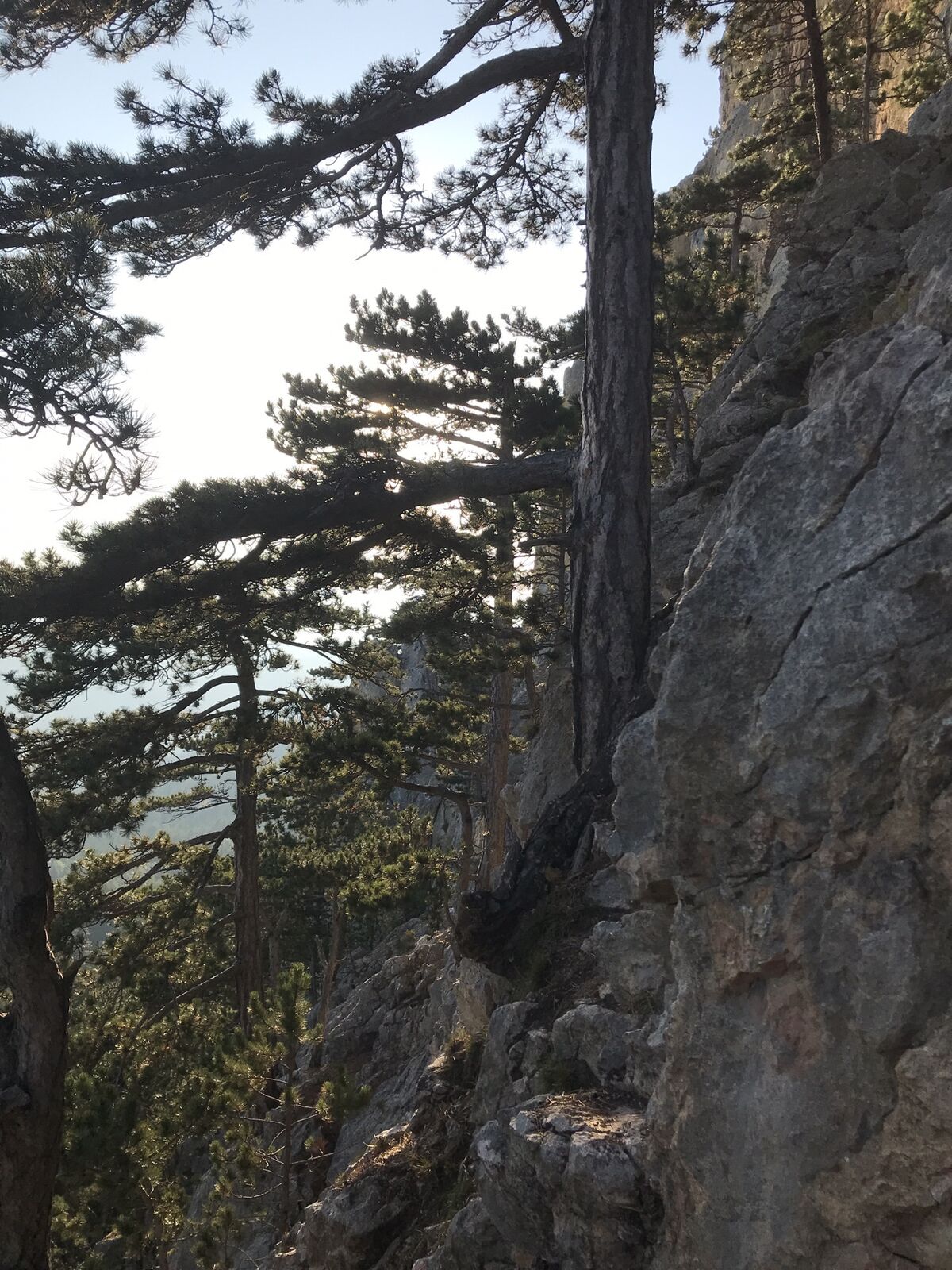
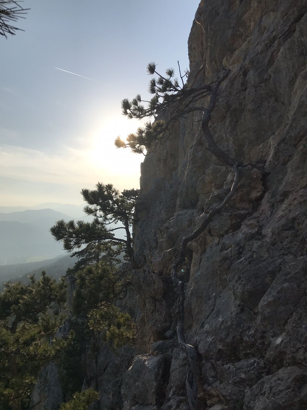
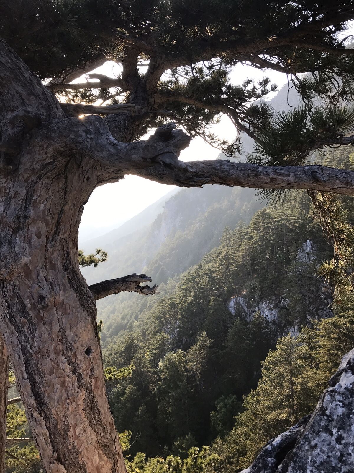
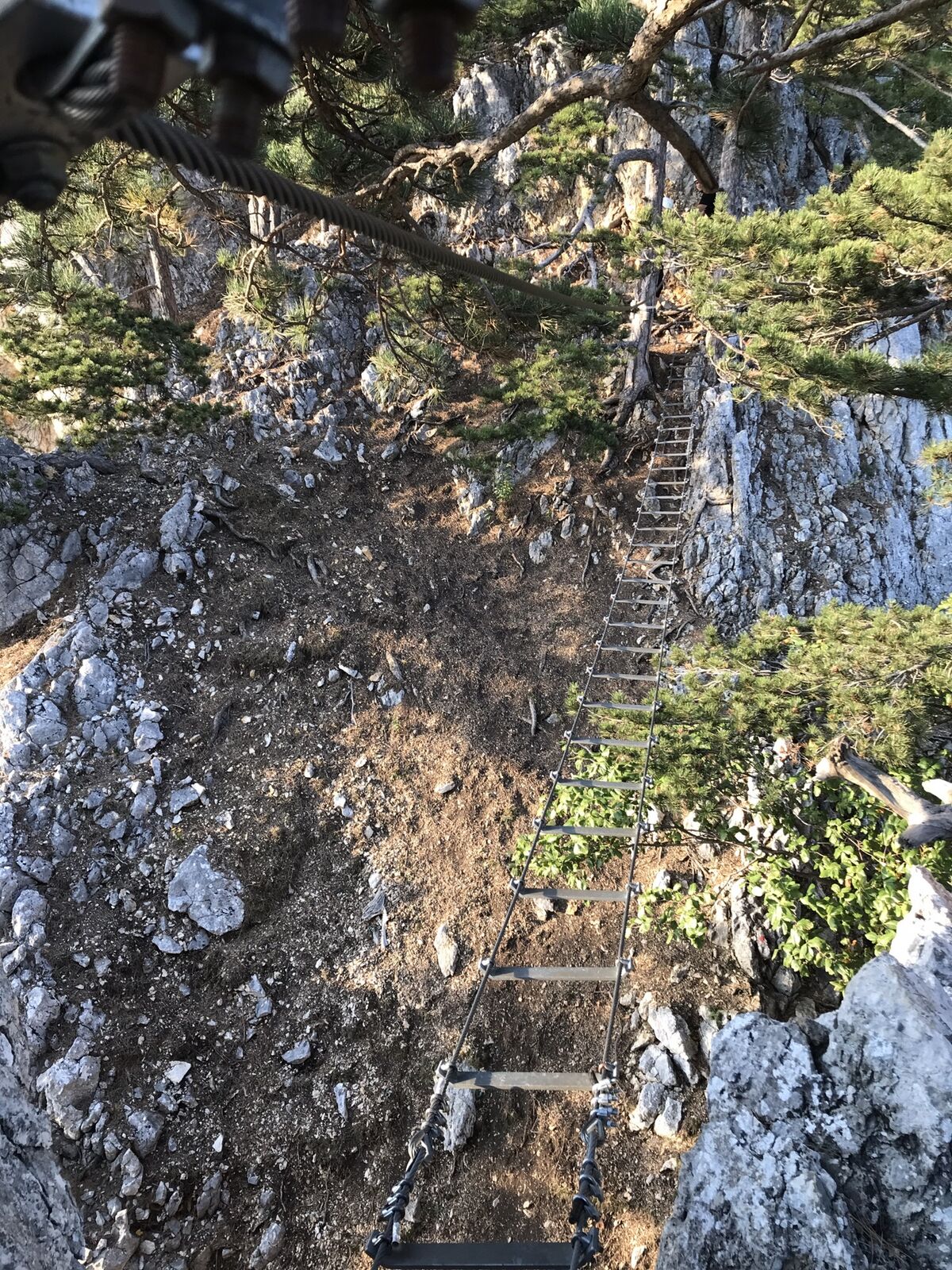
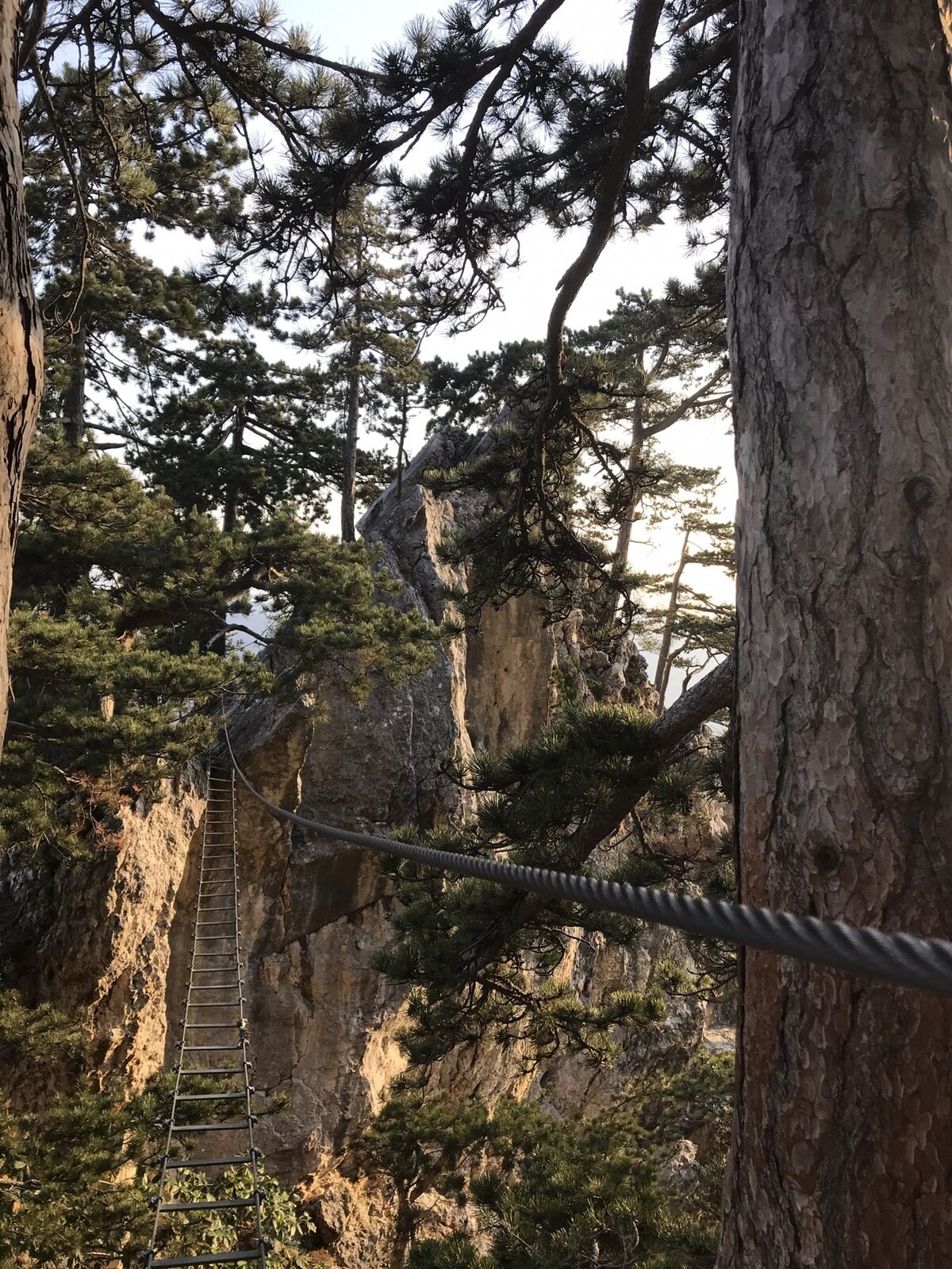
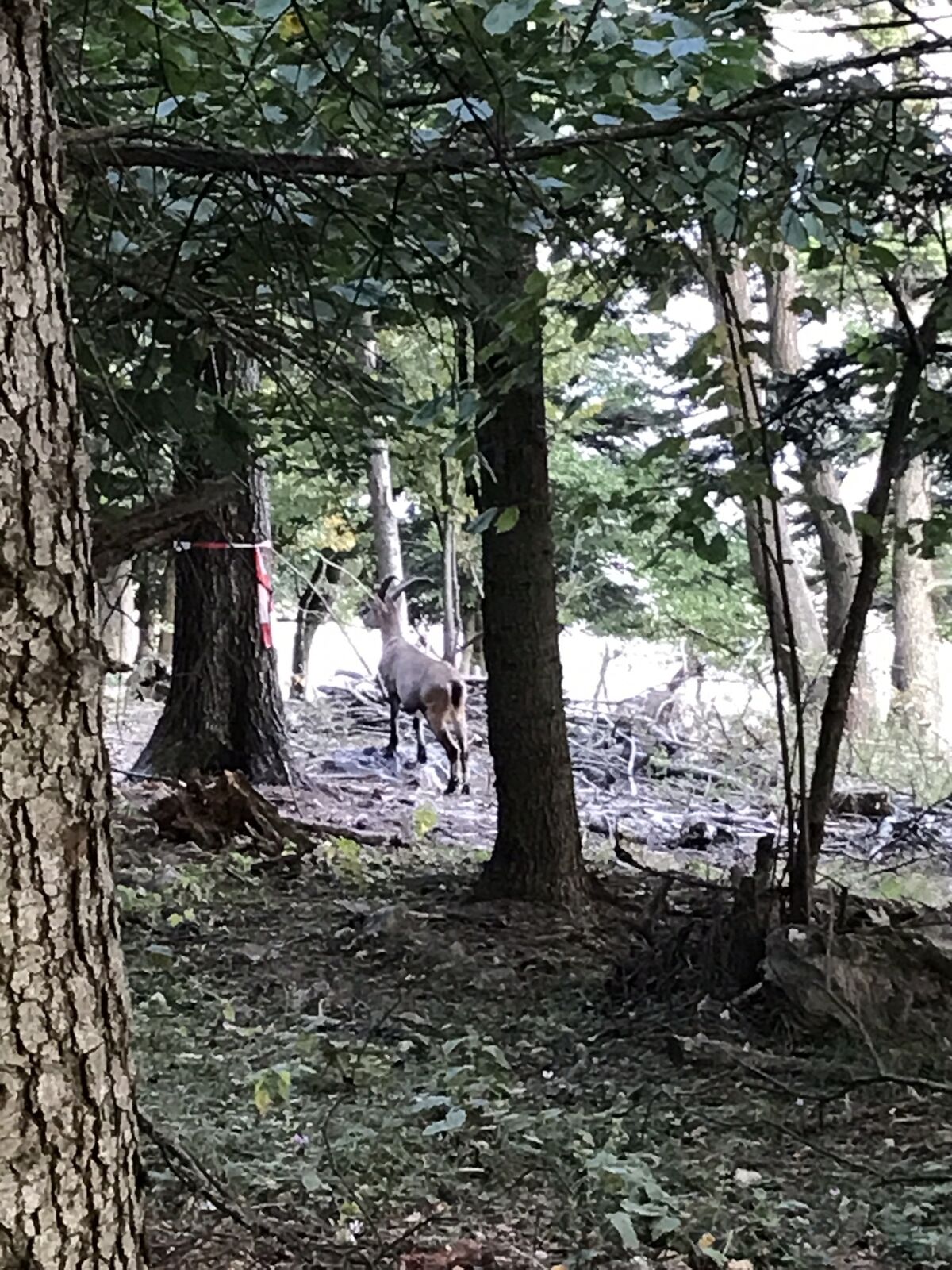
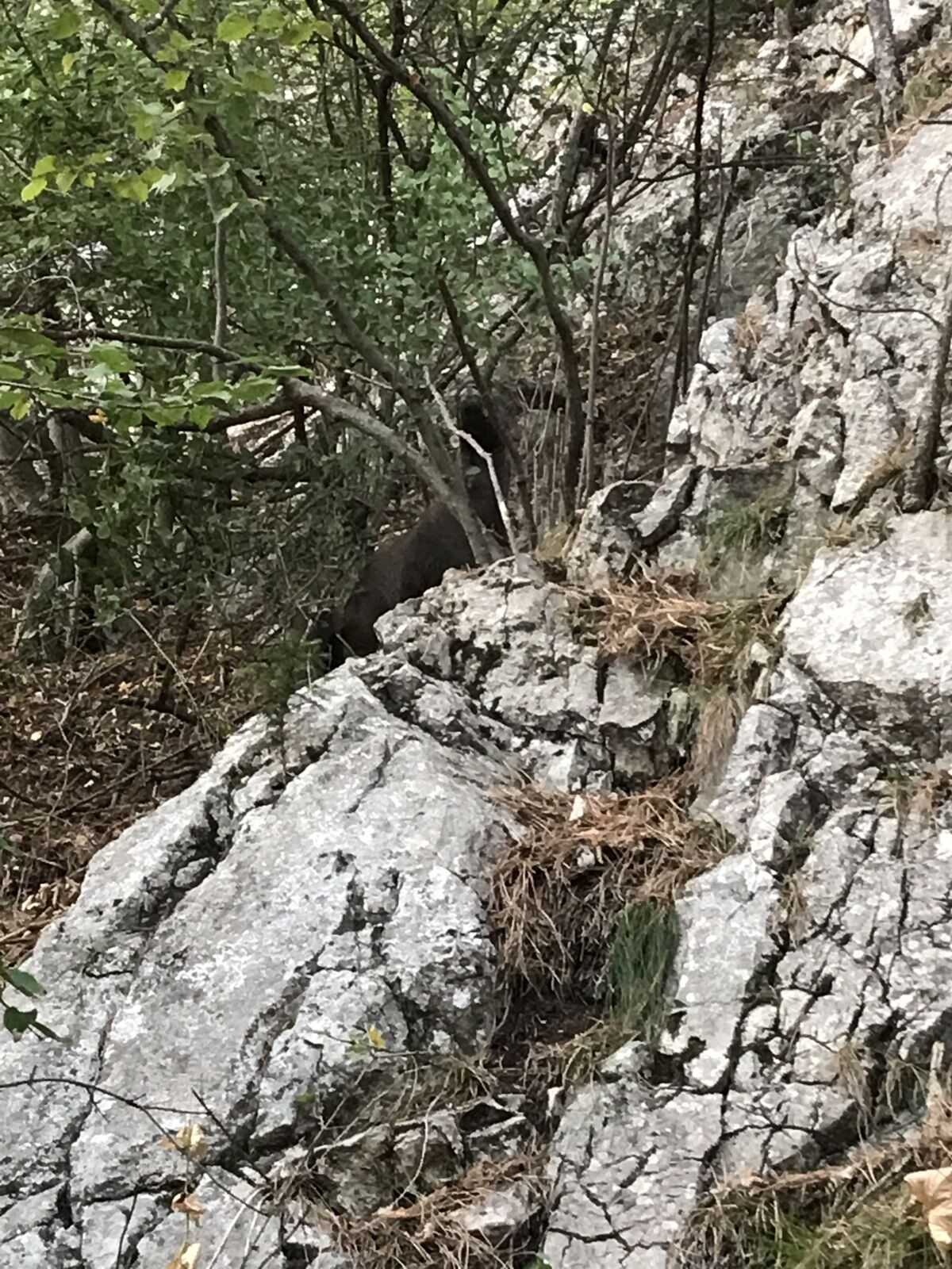
Photos from our users
-

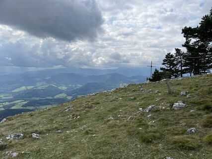
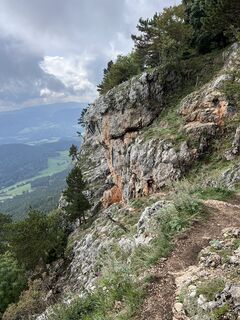
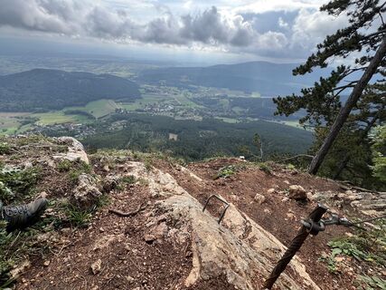
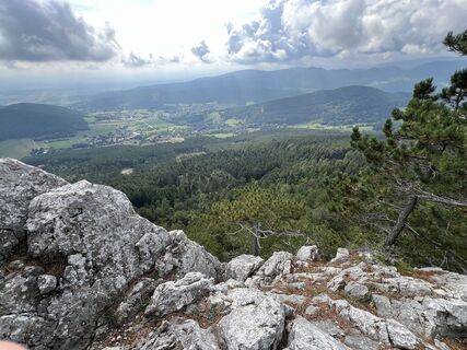
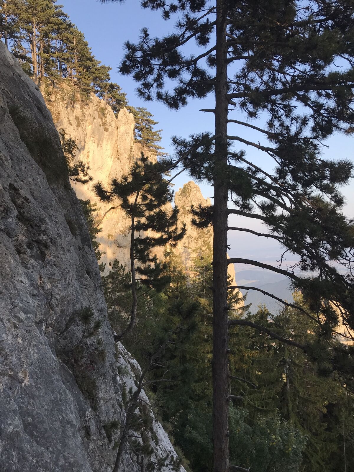
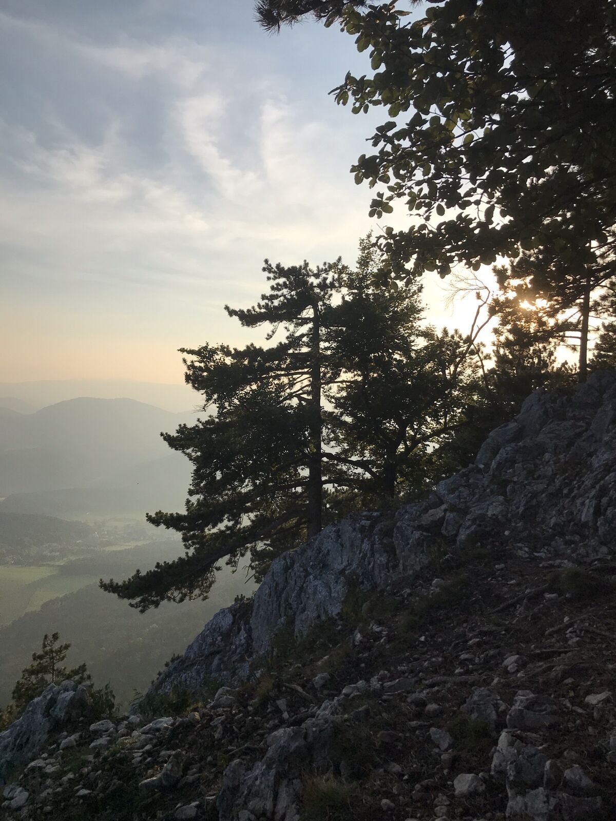
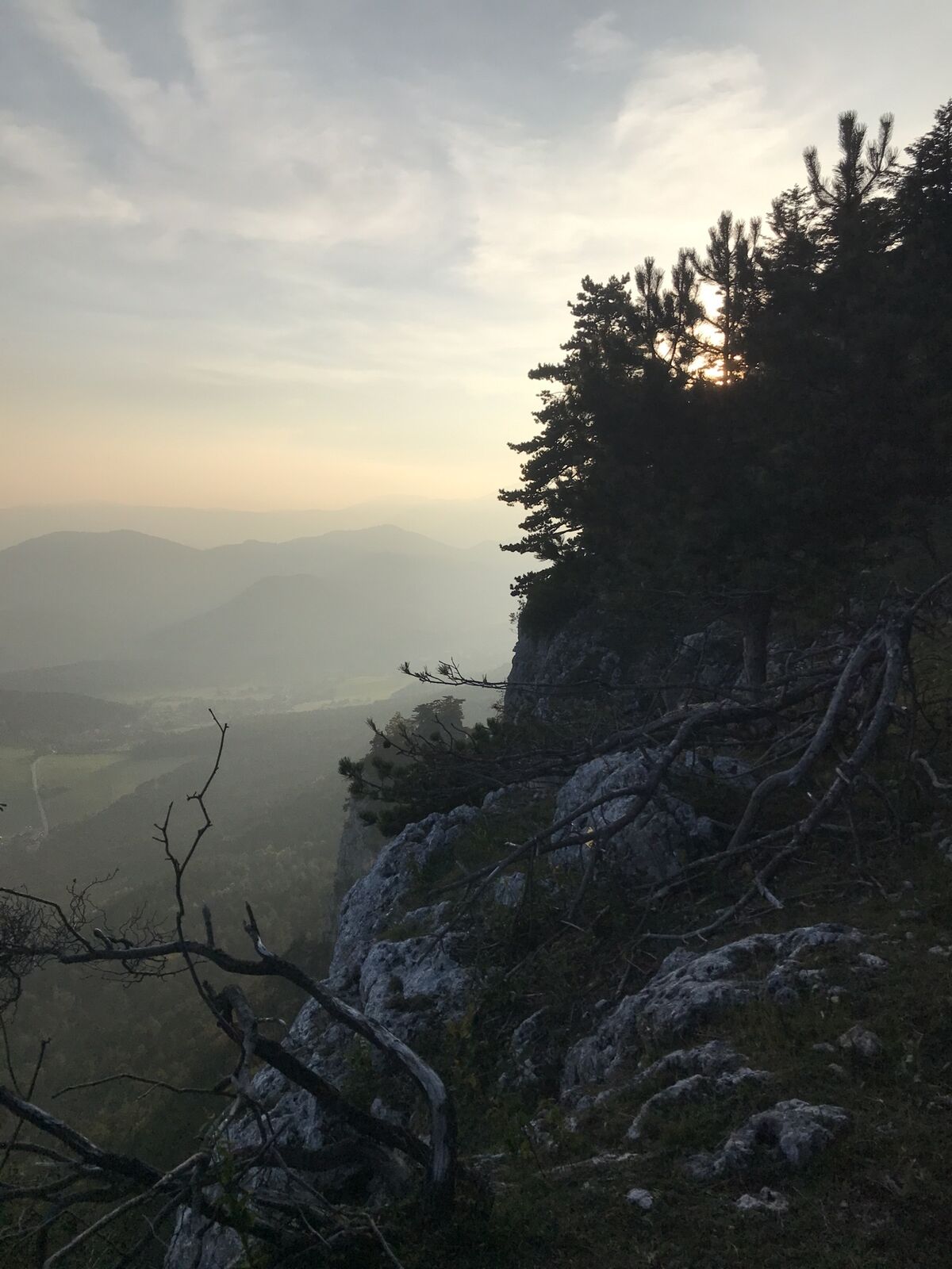
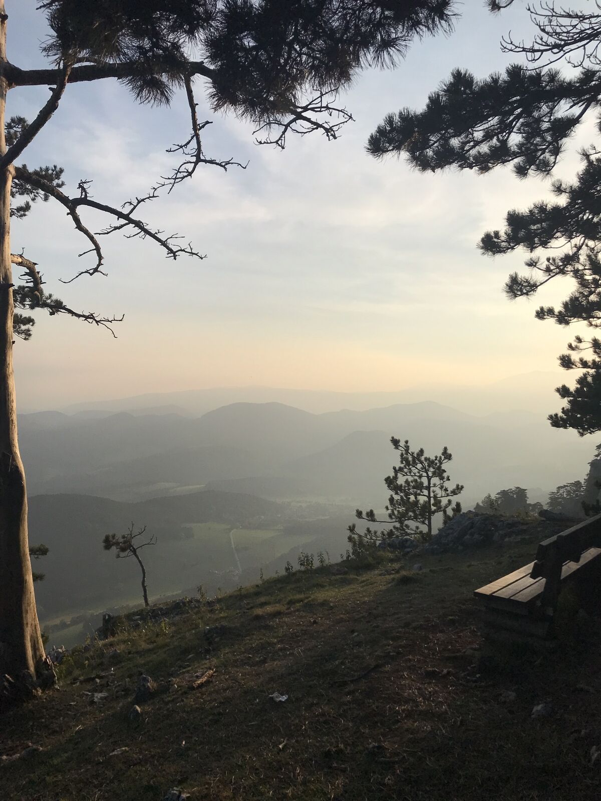
 © Anton GigeleCreated on 28.09.2025
 -
 © Anton GigeleCreated on 28.09.2025
 -
 © Anton GigeleCreated on 28.09.2025
 -
 © Anton GigeleCreated on 28.09.2025
 -
 © Anton GigeleCreated on 28.09.2025
 -
 © Anton GigeleCreated on 28.09.2025
 -
 © Marlies BerweinCreated on 21.07.2024
 -
 © Marlies BerweinCreated on 21.07.2024
 -
 © Marlies BerweinCreated on 21.07.2024
 -
 © Marlies BerweinCreated on 21.07.2024
 -
 © Marlies BerweinCreated on 21.07.2024
 -
 © Marlies BerweinCreated on 21.07.2024
 -
 © Marlies BerweinCreated on 21.07.2024
 -
 © Marlies BerweinCreated on 21.07.2024
 -
 © Birgit naglCreated on 06.09.2022


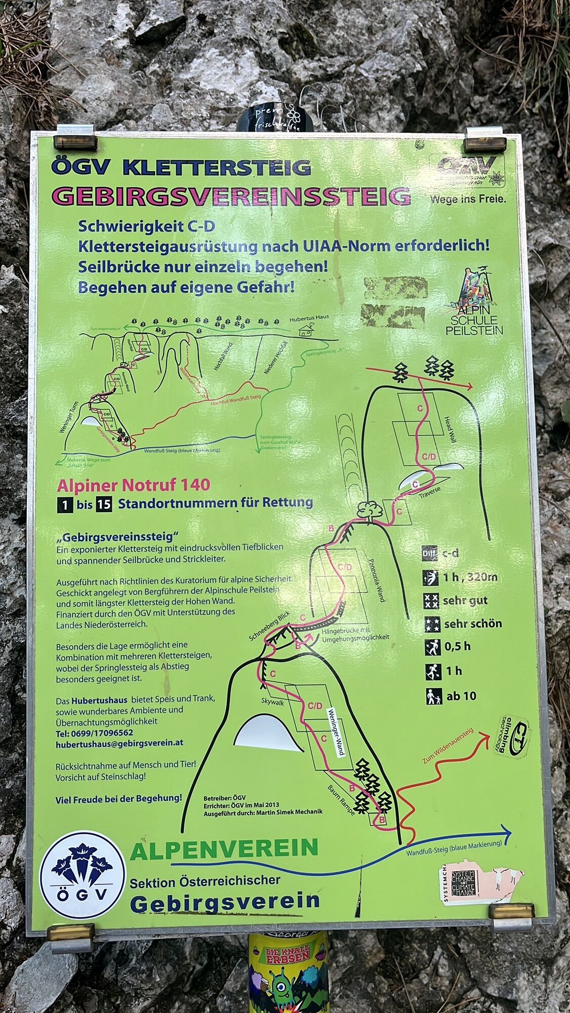

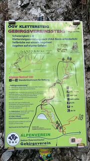
Route
Weningerturm
(885 m)
Summit
1.5 km
Baumgartnerturm
(900 m)
Summit
2.1 km
Wilde Springessteighöhle
(905 m)
Cave entrance
2.6 km
Route
Höflein Wanderung mit Klettersteig
heavy
Hiking
4.39
km
Weningerturm
(885 m)
Summit
1.5 km
Holzknechtnische
(879 m)
Cave entrance
1.8 km
Holzknechtlucke
(913 m)
Cave entrance
2.0 km
Turmsteigkessel
(906 m)
Corridor/terrain
2.0 km
Baumgartnerturm
(900 m)
Summit
2.1 km
Wildenauerhöhle
(910 m)
Cave entrance
2.1 km
Wildenauerturm
(909 m)
Summit
2.1 km
Hubertushaus
(946 m)
Shelter
2.6 km
Wilde Springessteighöhle
(905 m)
Cave entrance
2.6 km
Hubertushöhle
(932 m)
Cave entrance
2.7 km
Lagerhöhle
(896 m)
Cave entrance
2.7 km
Facettenkluft
(859 m)
Cave entrance
2.8 km


Last tracked
3 weeks ago
Route information
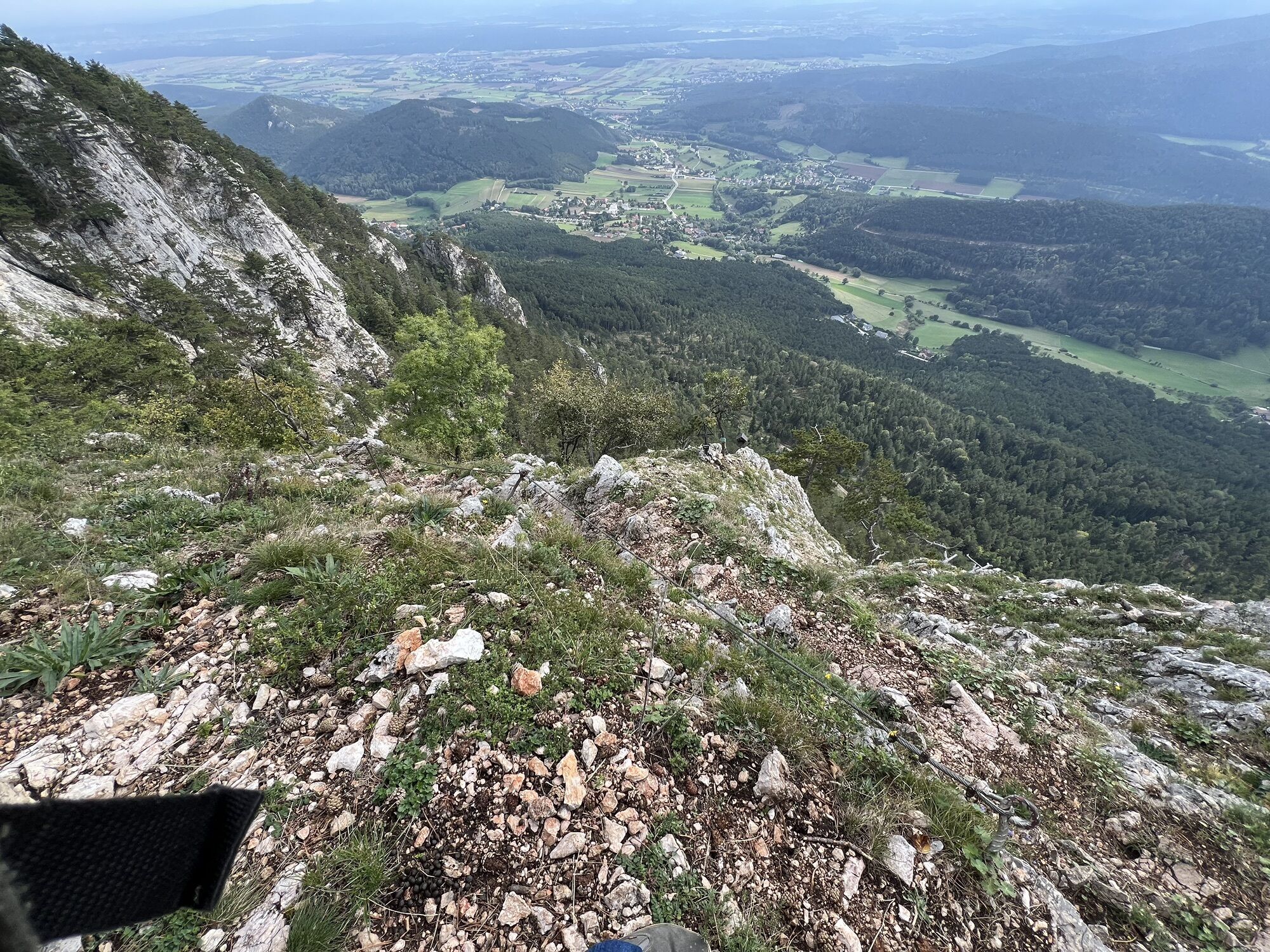
Steep passage
Yes
Geological highlights
Yes
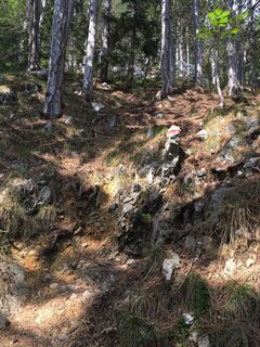
Forest area
Yes
Valuations
5
(4)
4
(1)
3
(0)
2
(0)
1
(0)
Popular tours in the neighbourhood
-
4.4
Johannesbachklamm - Würflach
mediumHiking 11.3 km -
4.6
Grünbach - Eselsteig - Geländ
lightHiking 5.22 km -
4.9
Schöner Rundkurs über die Dürre Wand: Öhlerschutzhaus über Hanslsteig und Gratwanderung zur Gauermannhütte
lightHiking 14.2 km -
4.5
Bergstation Hochschneeberg - Klosterwappen - Bahnhof Puchberg am Schneeberg
mediumHiking 16.8 km -
3.9
Gutensteiner Alpen: Myrafälle und Hausstein
lightHiking 2.92 km -
5.0
Schober- Öhler
mediumHiking 12.2 km -
3.9
Hohe Wand - Ötscher Blick RWW1
mediumHiking 9.82 km -
4.0
Bergkraxler Klettersteig
mediumVia ferrata 3.35 km -
4.8
Hohe Wand Wagnersteig - Springlessteig
mediumHiking 5.59 km -
4.7
Hohe Wand: Babygrat (1+), Rundwanderung und Wagnersteig (A)
heavyHiking 11.8 km
Hiking & Tracking

Over 550.000 tour suggestions, detailed maps and an intuitive route planner make the app a must-have for all nature enthusiasts.

Don't miss out on offers and inspiration for your next holiday
Subscribe to the newsletter
Error
An error has occurred. Please try again.
Thank you for your registration
Your e-mail address has been added to the mailing list.
Tours throughout Europe
Austria
Switzerland
Germany
Italy
Slovenia
France
Netherlands
Belgium
Poland
Liechtenstein
Czechia
Slovakia
Spain
Croatia
Bosnia and Herzegovina
Luxembourg
Andorra
Portugal
Iceland
United Kingdom
Ireland
Greece
Albania
North Macedonia
Malta
Norway
Montenegro
Moldova
Kosovo
Hungary
San Marino
Romania
Estonia
Latvia
Belarus
Cyprus
Lithuania
Serbia
Bulgaria
Monaco
Denmark
Sweden
Finland