Grinzing-Voglsangberg Cobenzl RDW
light
Navigate
Navigate
Get this tour on your mobile
Grinzing-Voglsangberg Cobenzl RDW
light
Hiking
7,75
km
Scan the QR code and start navigation in the bergfex app

Hiking & Tracking


Distance
7,75
km
Duration
01:30
h
Ascent
264
m
Sea level
241 -
501
m
Track download
Grinzing-Voglsangberg Cobenzl RDW
light
Hiking
7,75
km


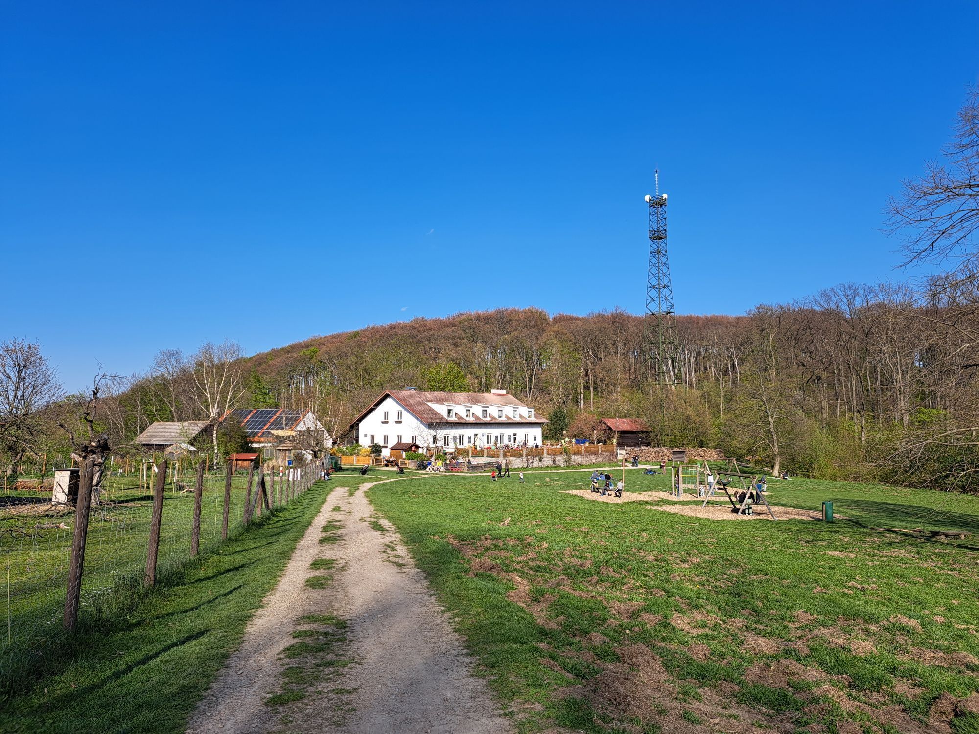
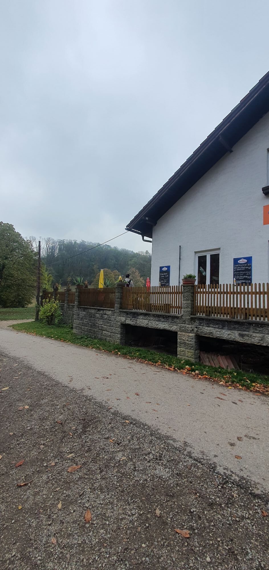
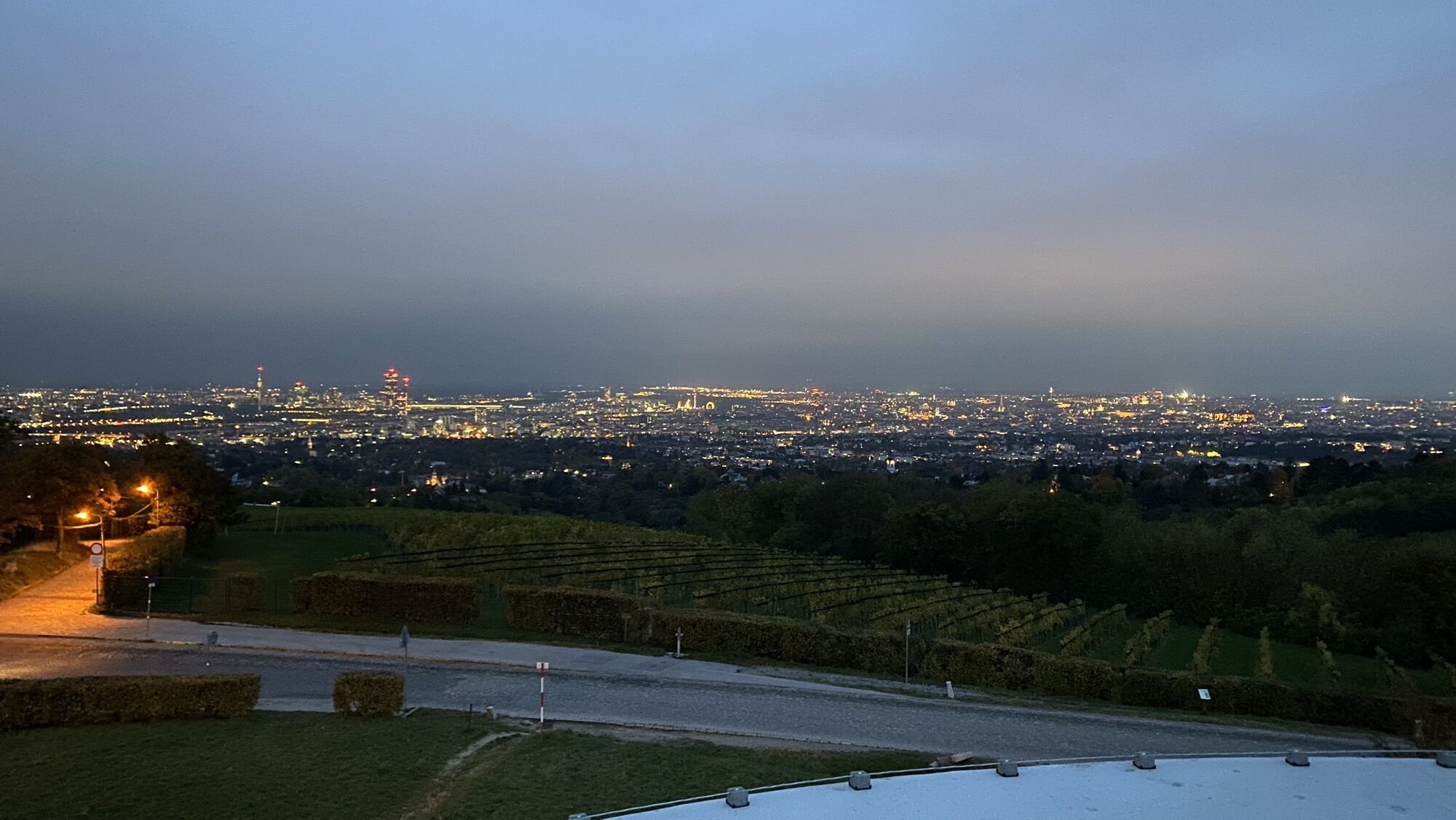
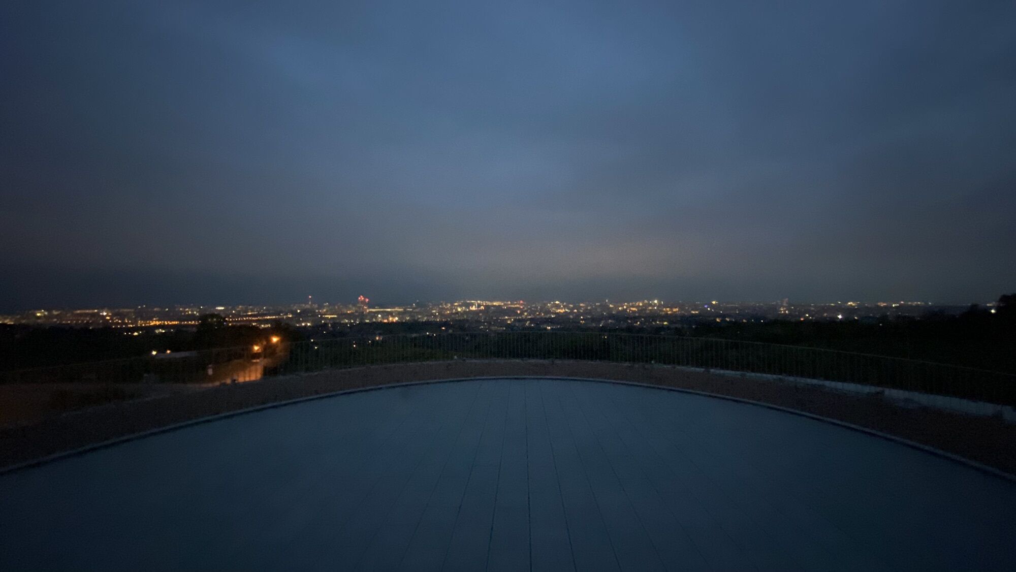
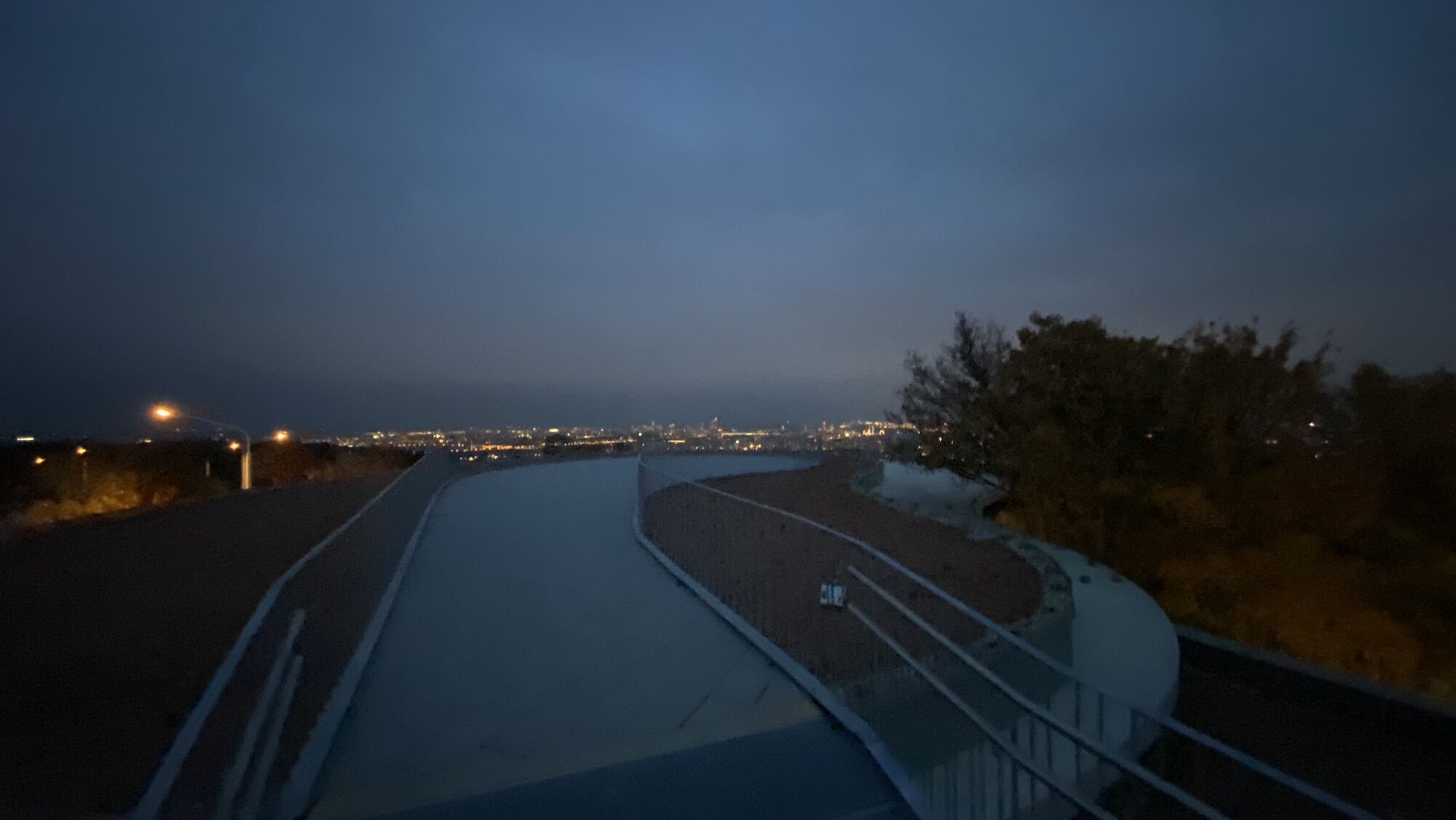
Photos from our users
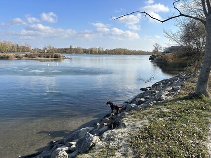
 © Car WanderfreudeCreated on 17.11.2024
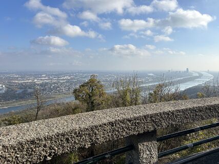 © Car WanderfreudeCreated on 17.11.2024
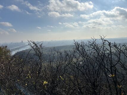 © Car WanderfreudeCreated on 17.11.2024
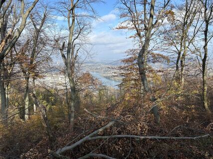 © Car WanderfreudeCreated on 17.11.2024
 © Car WanderfreudeCreated on 17.11.2024
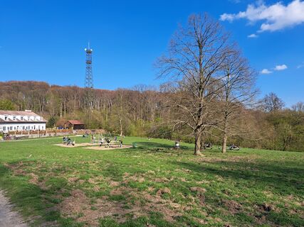
 © Karin F.Created on 22.04.2023
 © Karin F.Created on 22.04.2023
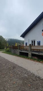
 © Rosi KaradalievCreated on 23.10.2022
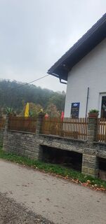 © Rosi KaradalievCreated on 23.10.2022
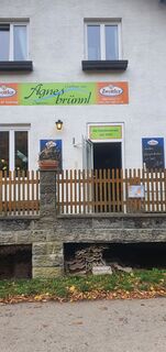 © Rosi KaradalievCreated on 23.10.2022
 © Richard ForchtnerCreated on 21.10.2022
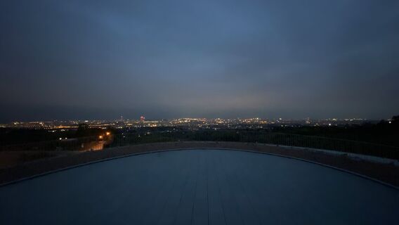 © Richard ForchtnerCreated on 21.10.2022
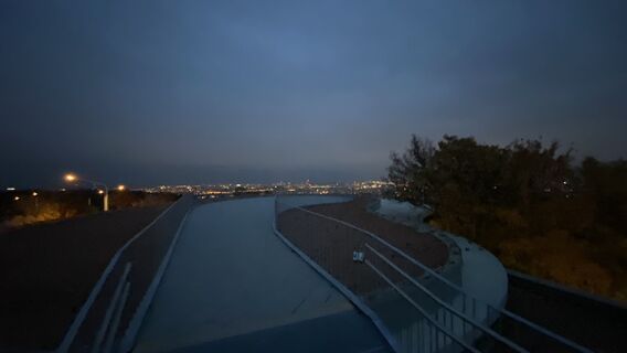 © Richard ForchtnerCreated on 21.10.2022
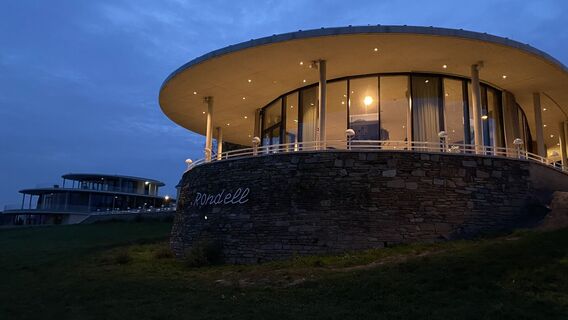 © Richard ForchtnerCreated on 21.10.2022
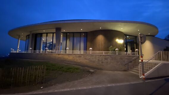 © Richard ForchtnerCreated on 21.10.2022
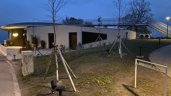 © Richard ForchtnerCreated on 21.10.2022
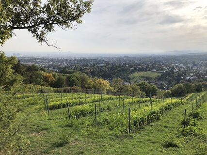
 © Peter JandlCreated on 08.10.2022

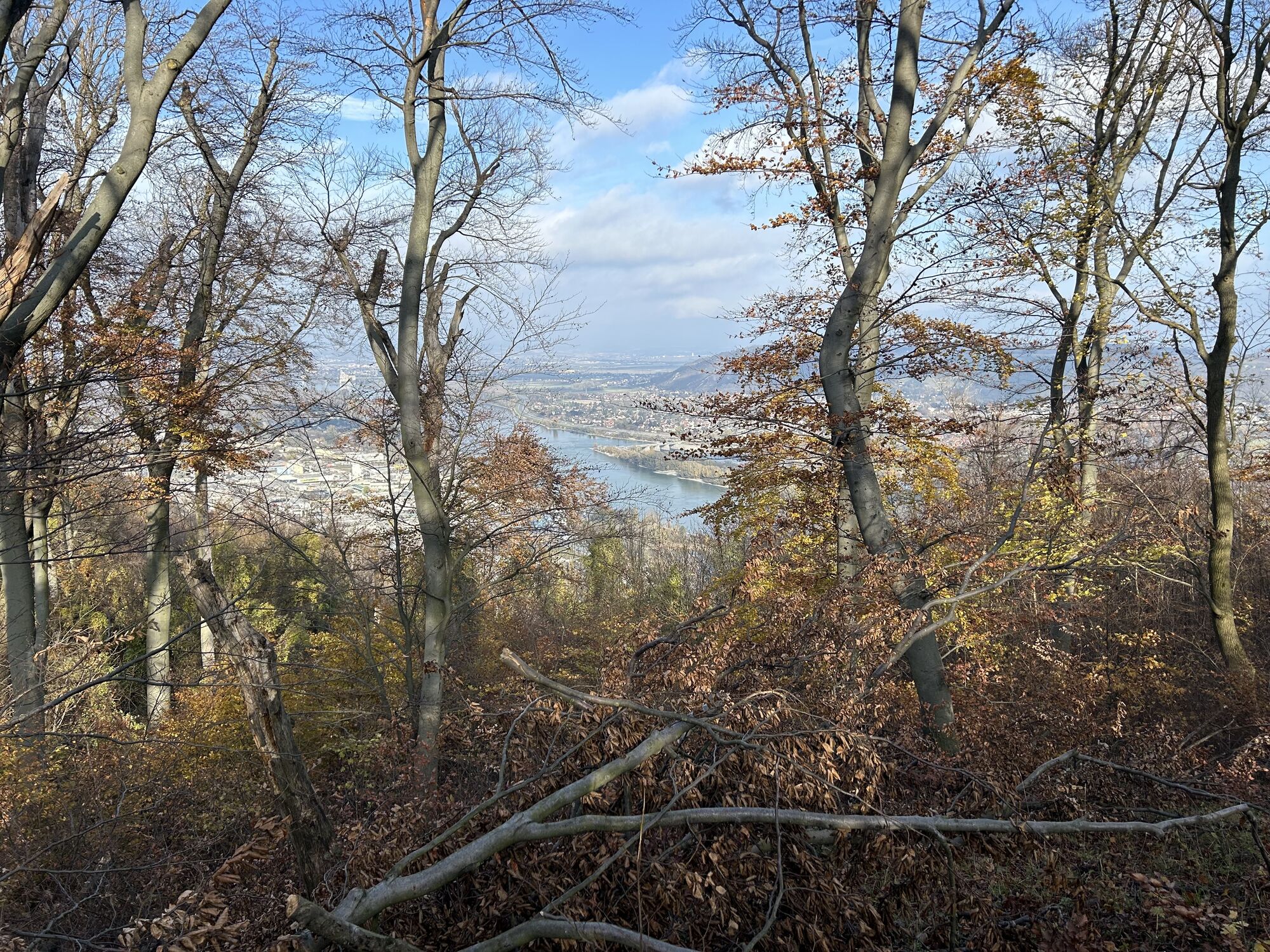
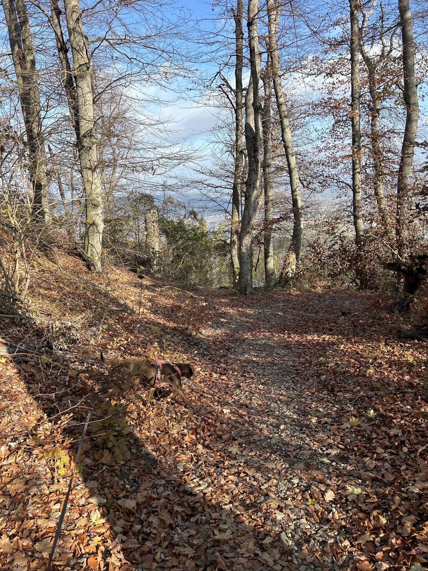

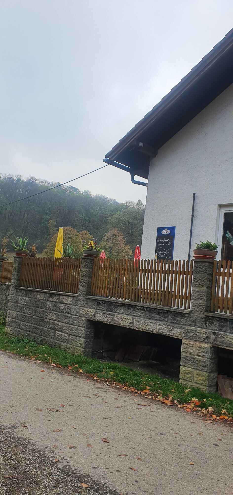


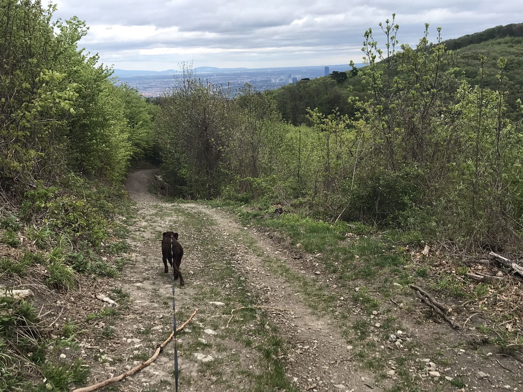
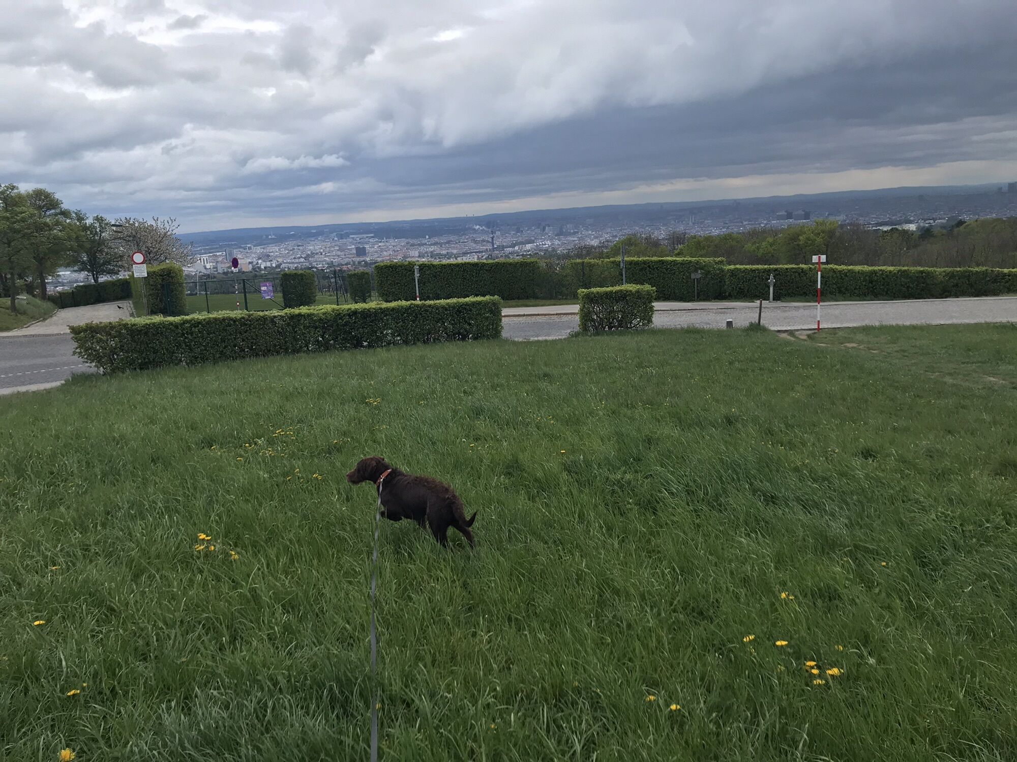
Ein netter Spaziergang zwischendurch
Route
Grinzing
(225 m)
Neighbourhood
0,0 km
Vienna
(542 m)
City
0,0 km
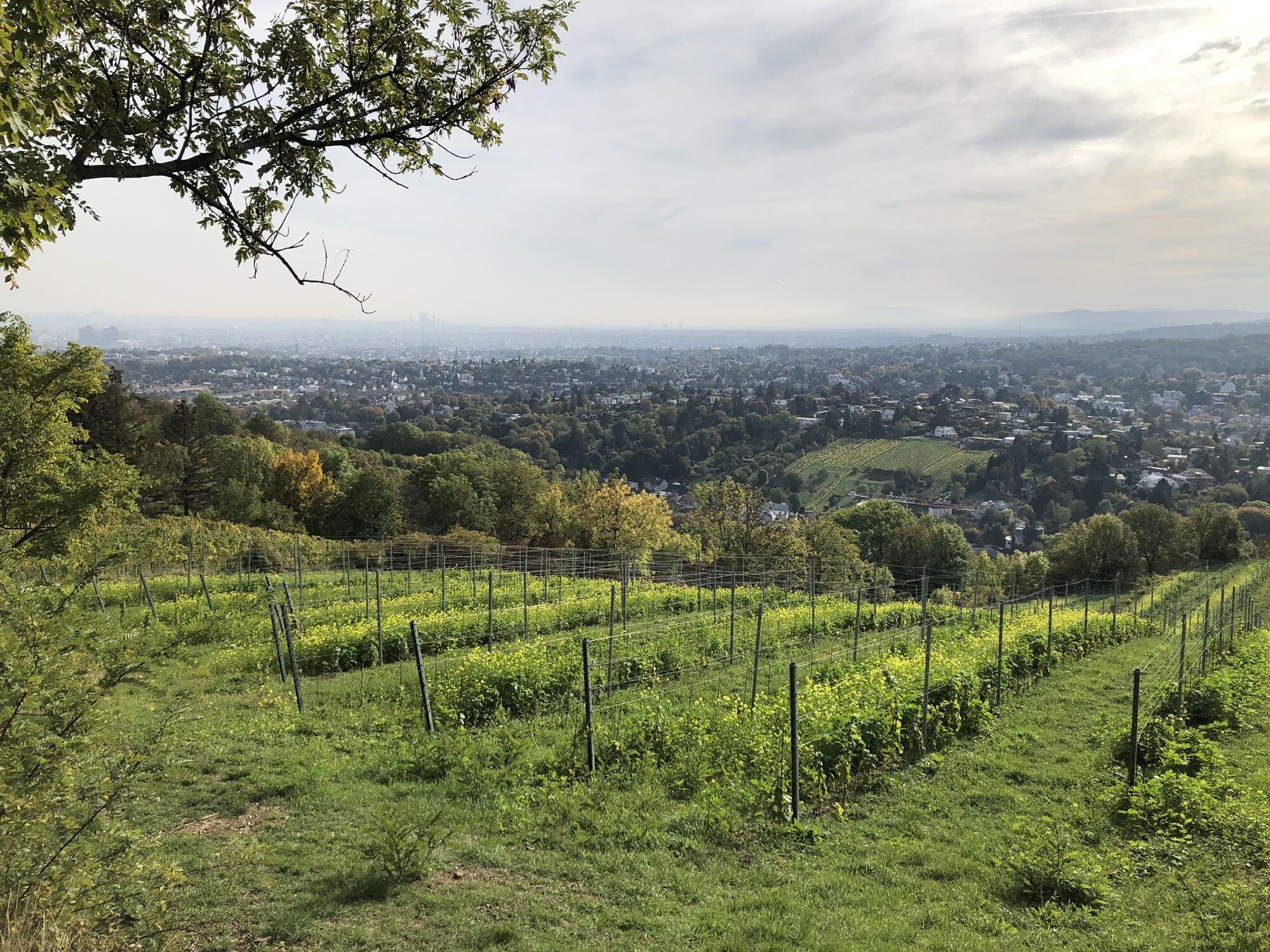
Vogelsangberg
(516 m)
Summit
4,6 km
Am Cobenzl
(377 m)
Corridor/terrain
5,9 km
Route
Grinzing-Voglsangberg Cobenzl RDW
light
Hiking
7,75
km
Grinzing
(225 m)
Neighbourhood
0,0 km
Vienna
(542 m)
City
0,0 km
Kreuzeiche
(433 m)
Corridor/terrain
3,0 km
Vogelsangberg
(516 m)
Summit
4,6 km
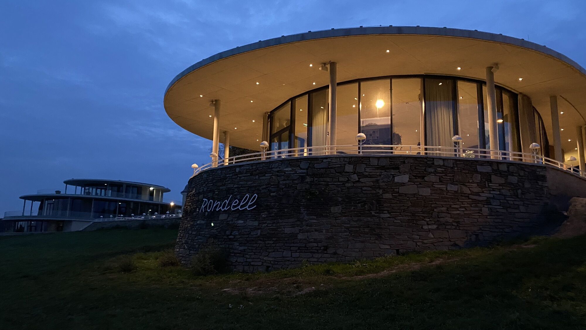
Terrasse des ehemaligen Schloss Cobenzl
(385 m)
Viewpoint
5,5 km
Am Cobenzl
(377 m)
Corridor/terrain
5,9 km
Grinzing
(225 m)
Neighbourhood
7,7 km

Route information
Route
Auto
Valuations
5
(1)
4
(0)
3
(0)
2
(0)
1
(0)
Popular tours in the neighbourhood
- 4,6
Stadtwanderweg 1a - Leopoldsberg / lt. Beschilderung
mediumHiking10,2 km - 4,5
Nasenweg Leopoldsberg Rundweg
mediumHiking4,08 km - 4,5
Stadtwanderweg 3, Hameau (lt. Beschilderung)
lightHiking9,78 km - 4,4
Stadtwanderweg 9 - Prater / lt. Beschilderung
lightHiking13,0 km - 5,0
Stadtwanderweg 1
lightHiking11,1 km - 3,3
Stadtwanderweg 10
lightHiking6,90 km - 4,8
Stadtwanderweg #2, Hermannskogel, Top of Vienna 😆
lightHiking11,1 km - 4,6
Stadtwanderweg 1 Kahlenberg (lt. Beschilderung)
lightHiking10,9 km - 4,5
Stadtwanderweg 7 - Laaer Berg / lt. Beschilderung
lightHiking14,2 km - 4,5
von Purkersdorf zur Rudolfshöhe
lightHiking4,72 km

Hiking & Tracking

Over 550.000 tour suggestions, detailed maps and an intuitive route planner make the app a must-have for all nature enthusiasts.

Don't miss out on offers and inspiration for your next holiday
Subscribe to the newsletter
Error
An error has occurred. Please try again.Thank you for your registration
Your e-mail address has been added to the mailing list.
Tours throughout Europe
Austria Switzerland Germany Italy Slovenia France Netherlands Belgium Poland Liechtenstein Czechia Slovakia Spain Croatia Bosnia and Herzegovina Luxembourg Andorra Portugal Iceland United Kingdom Ireland Greece Albania North Macedonia Malta Norway Montenegro Moldova Kosovo Hungary San Marino Romania Estonia Latvia Belarus Cyprus Lithuania Serbia Bulgaria Monaco Denmark Sweden Finland