


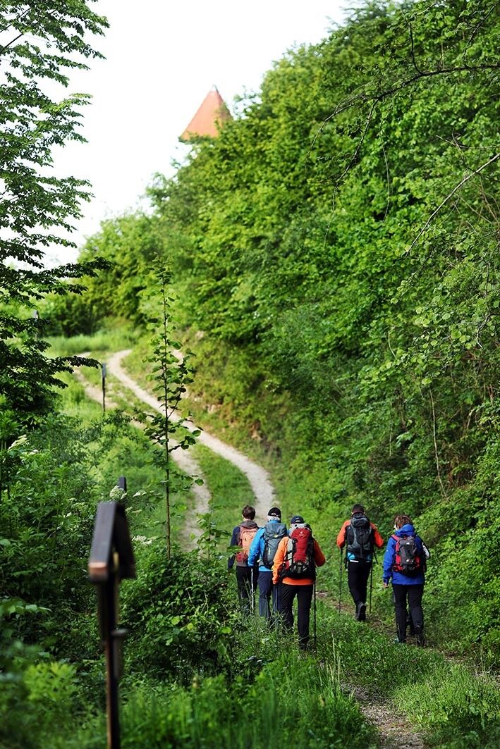
The route continues with a wonderful view along the Staning reservoir, through Unterburg to the historic district of Burg. Always on farm roads, it passes a biomass power plant, continues over the “Petzlgraben”...
The route continues with a wonderful view along the Staning reservoir, through Unterburg to the historic district of Burg. Always on farm roads, it passes a biomass power plant, continues over the “Petzlgraben” to the unfortunately already dilapidated Schloss Dorf an der Enns and along the railway back to Haidershofen.


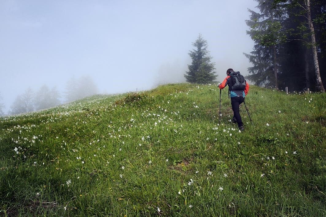
comfortable shoes
Highway exit Haag, turn right to Haag - direction Steyr, follow the signs to Haidershofen
Take the Westbahn to St. Valentin station, change to the regional train to Ramingdorf-Haidershofen, then take the bus to Haidershofen Ort
There are various parking lots in the municipal area. Please follow the signage.
www.haidershofen.gv.at
Haidershofen is located not far from Steyr, a beautiful town on the Eisenstraße, which can be visited after the route. Nothing stands in the way of a visit to a wine tavern in Weistrach at the Straußenkeller Stieblehner either.
Popular tours in the neighbourhood
- 5,0
Schwarzberg
lightHiking5,90 km - 3,7
St. Florian: Millstone Path
lightHiking8,54 km - 5,0
Dambergwarte
lightHiking3,28 km - 5,0
Circular trail to the Dambergwarte and Laurenzi Chapel
lightHiking2,69 km - 4,3
Über die Dambergwarte zum Windloch und retour
lightHiking11,1 km - 3,3
Rundweg von Dambach über Schwarzberg zur Dambergwarte
lightHiking12,8 km - 5,0
Elisabethwarte Runde
lightHiking3,98 km - 4,0
Kürnberger Panoramastrecke
mediumE-MTB34,3 km - 3,0
Herz-Mostviertel-Tour
mediumCycling63,8 km Schwarzberg von Dambach
mediumHiking5,82 km
Hiking & Tracking


Don't miss out on offers and inspiration for your next holiday
Your e-mail address has been added to the mailing list.