Mautern
medium
Navigate
Navigate
Get this tour on your mobile
Mautern
medium
Racing
99.97
km
Scan the QR code and start navigation in the bergfex app

Hiking & Tracking


Distance
99.97
km
Duration
04:39
h
Ascent
165
m
Sea level
154 -
199
m
Track download
Mautern
medium
Racing
99.97
km


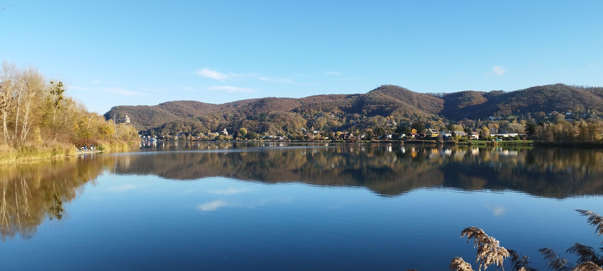
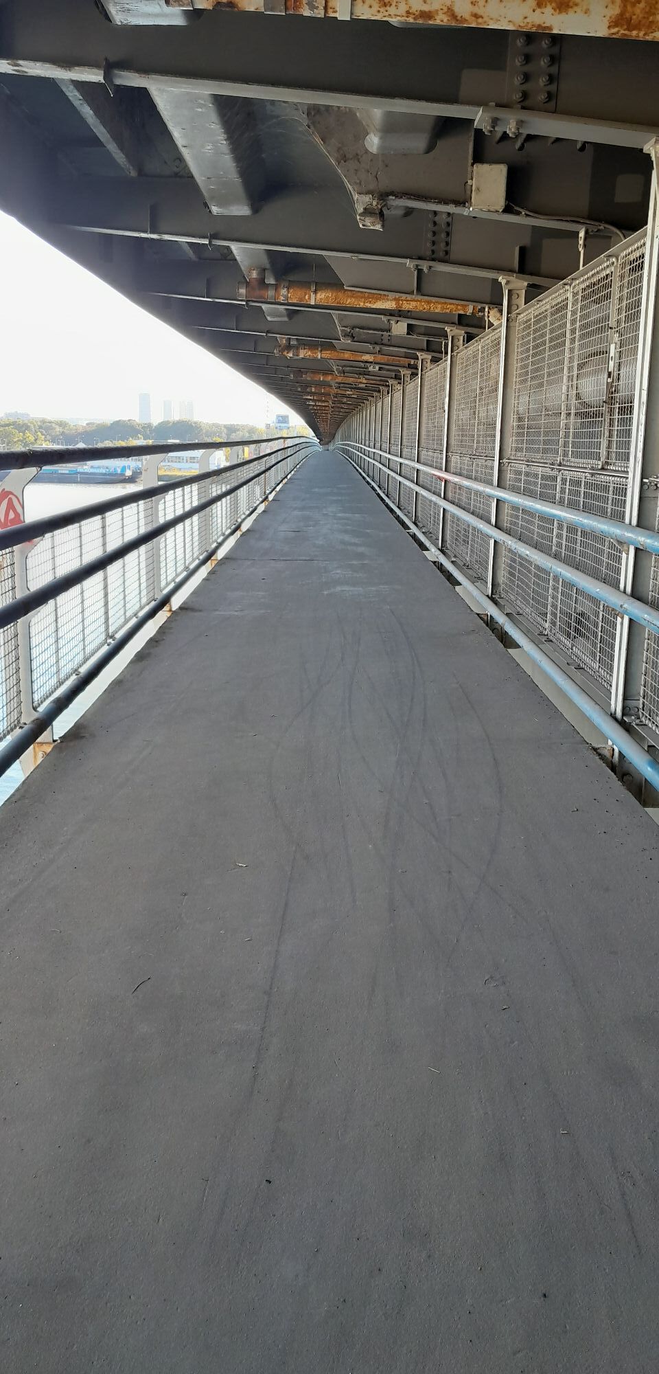
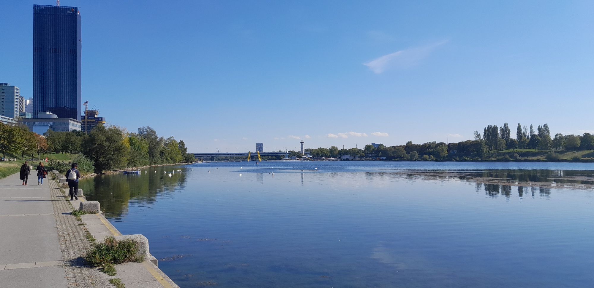
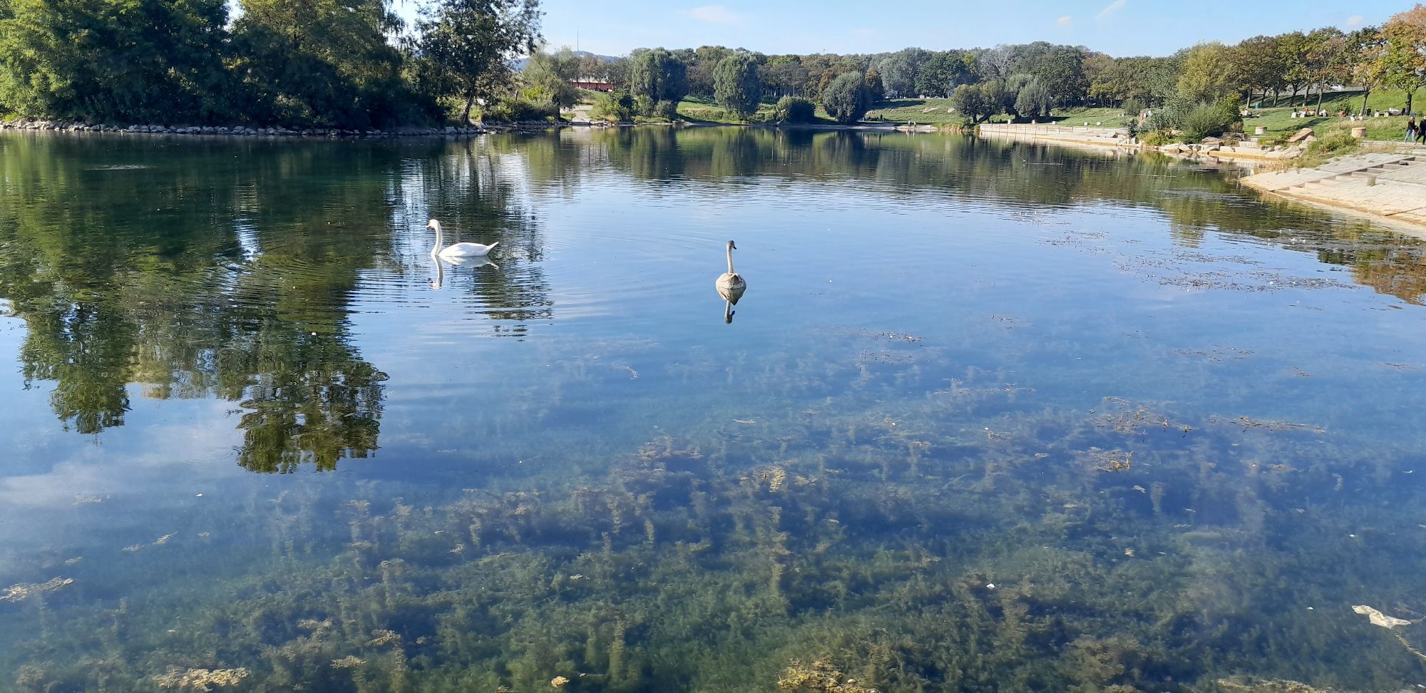
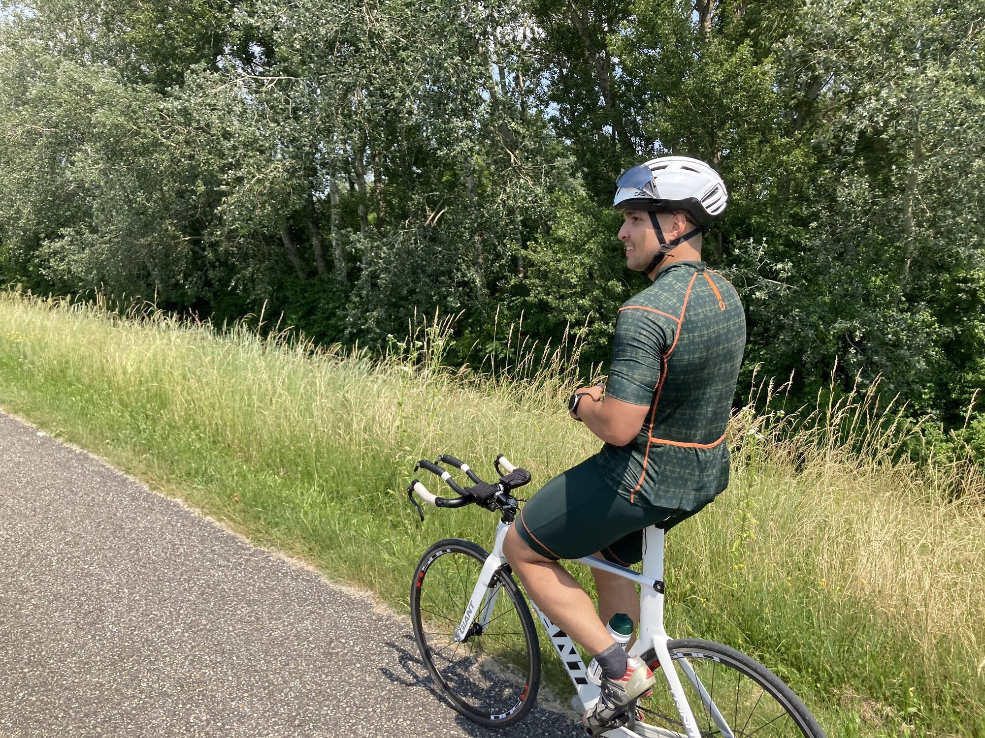
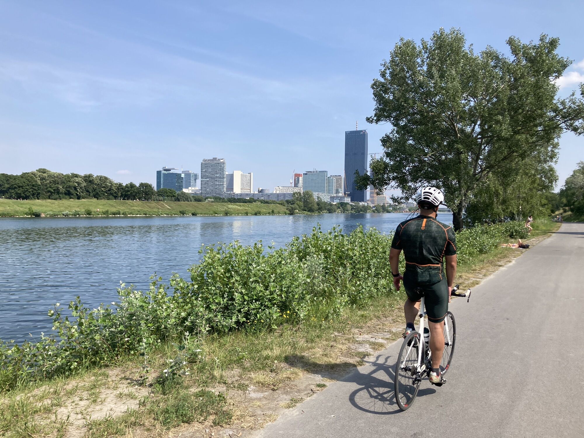
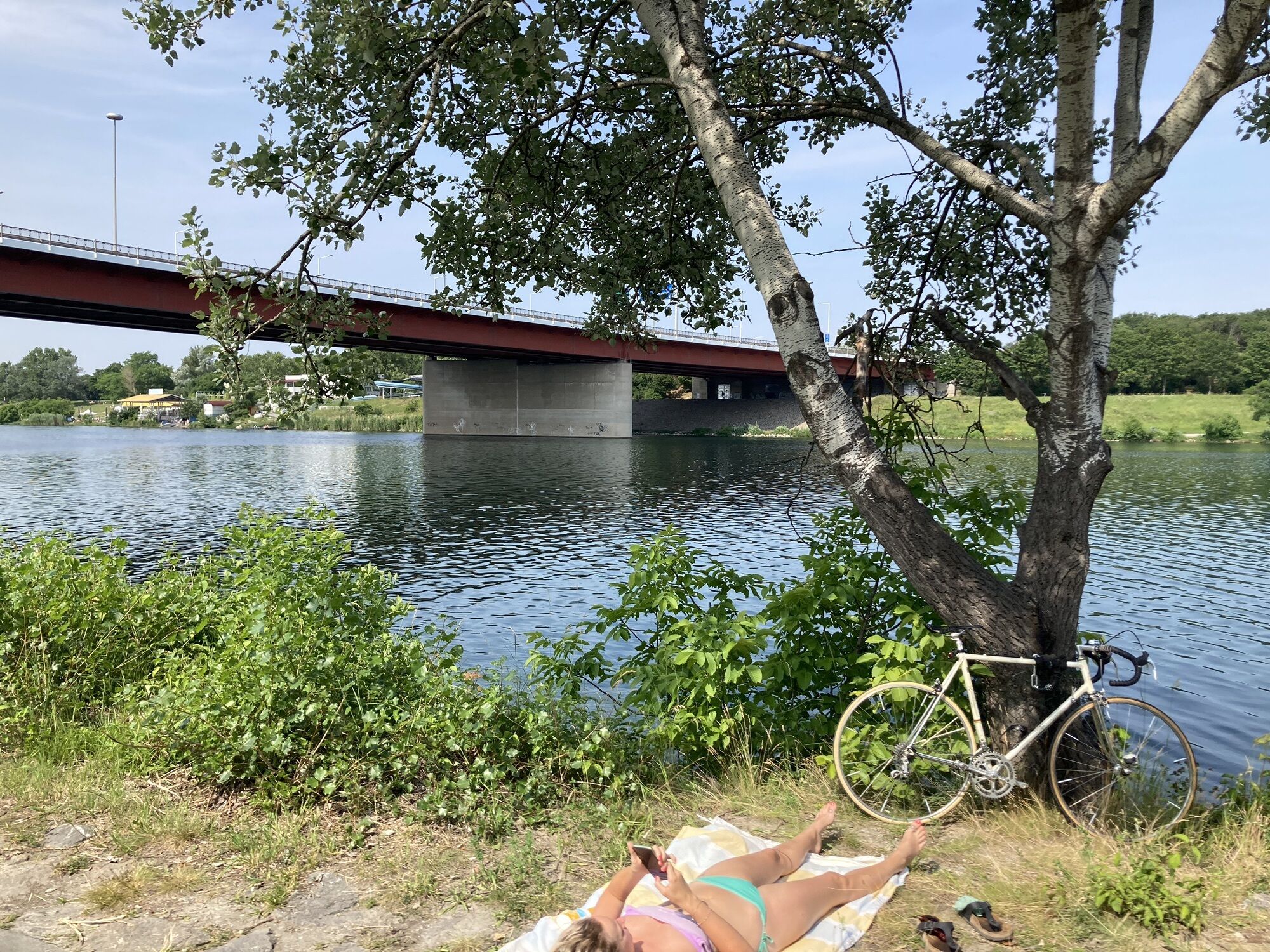
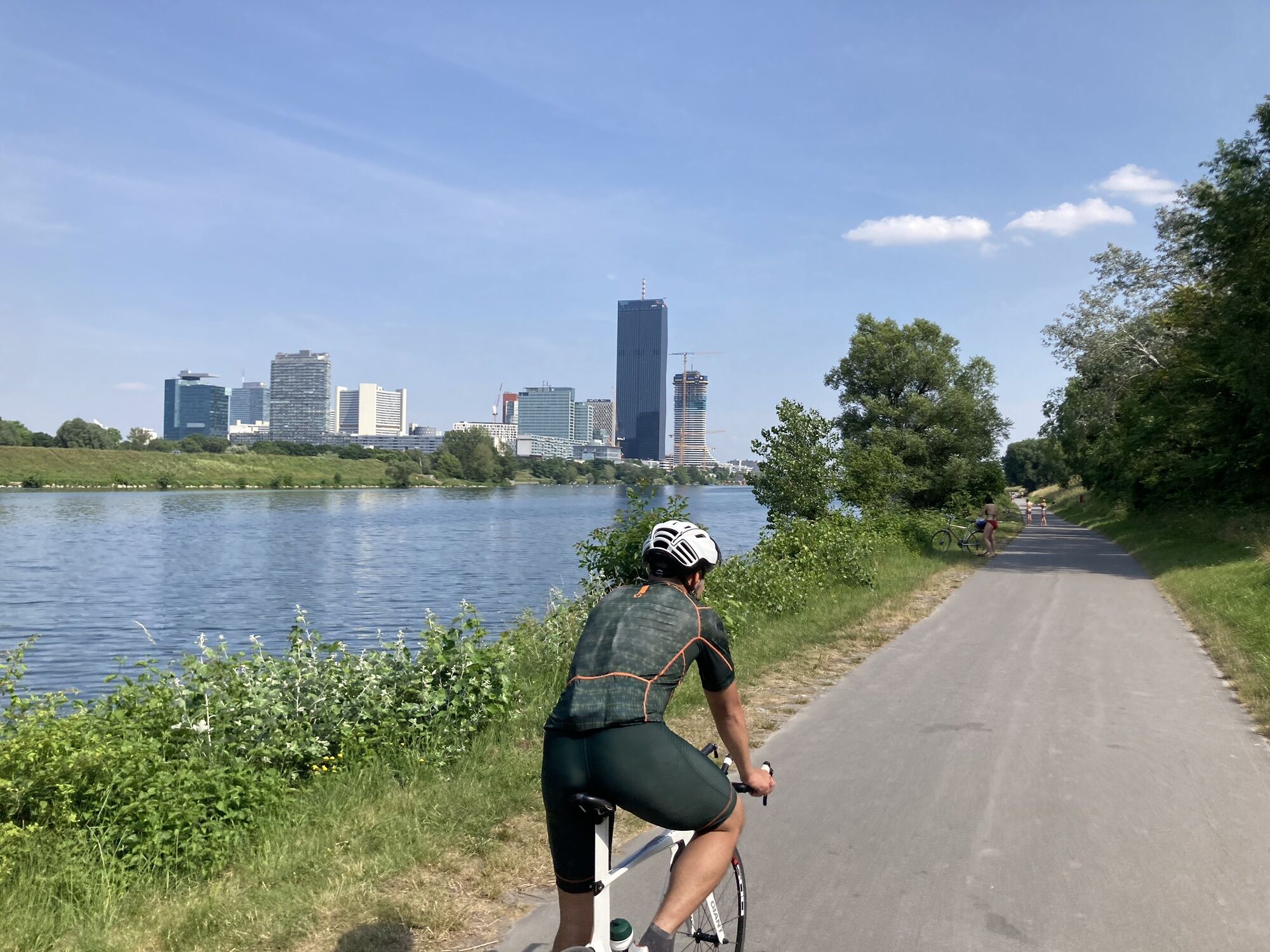
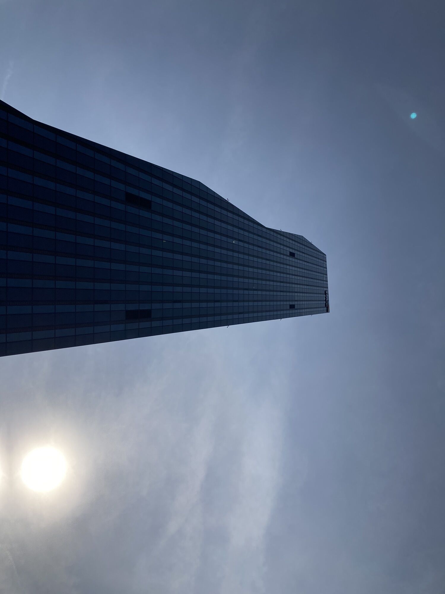
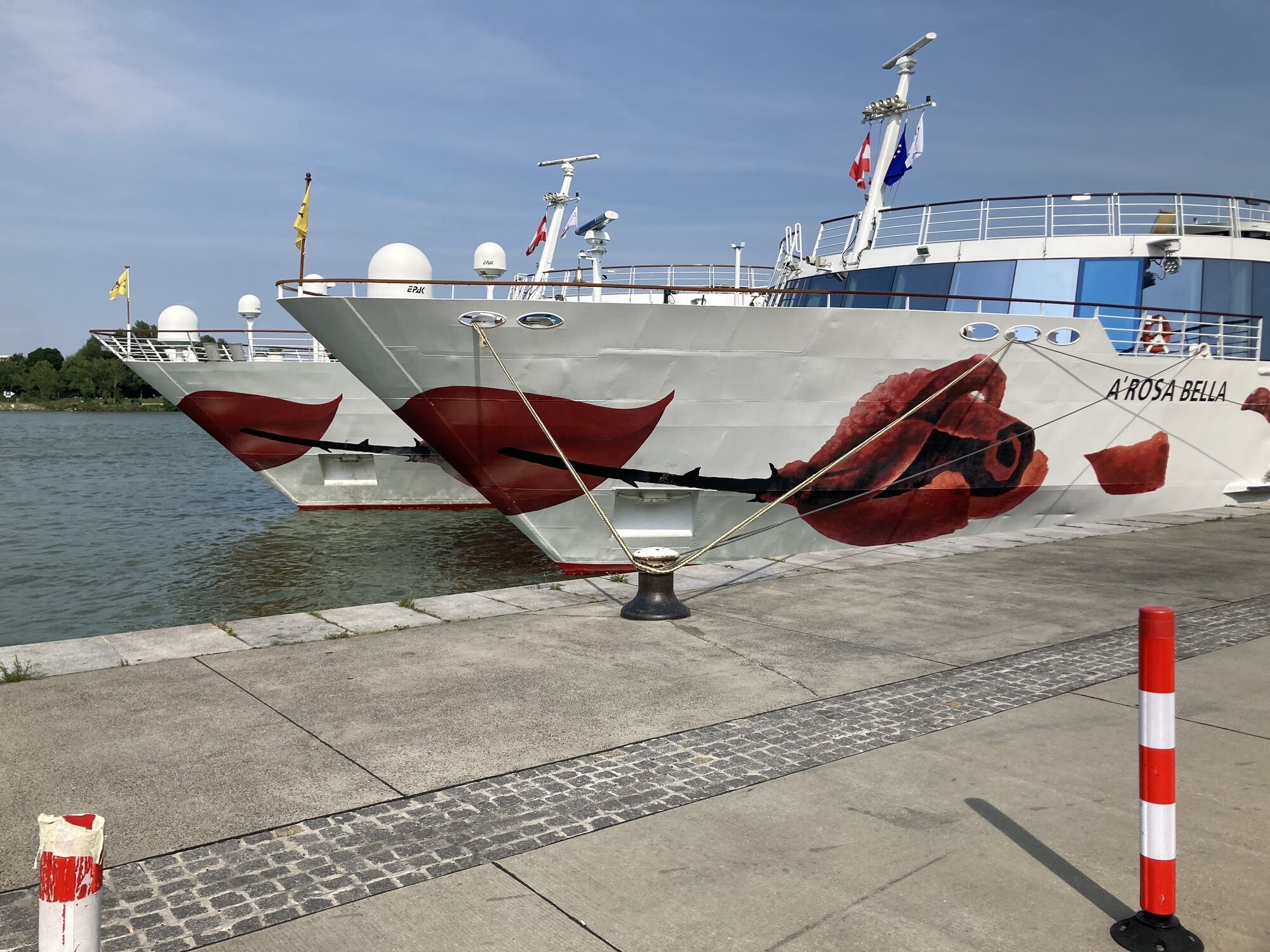
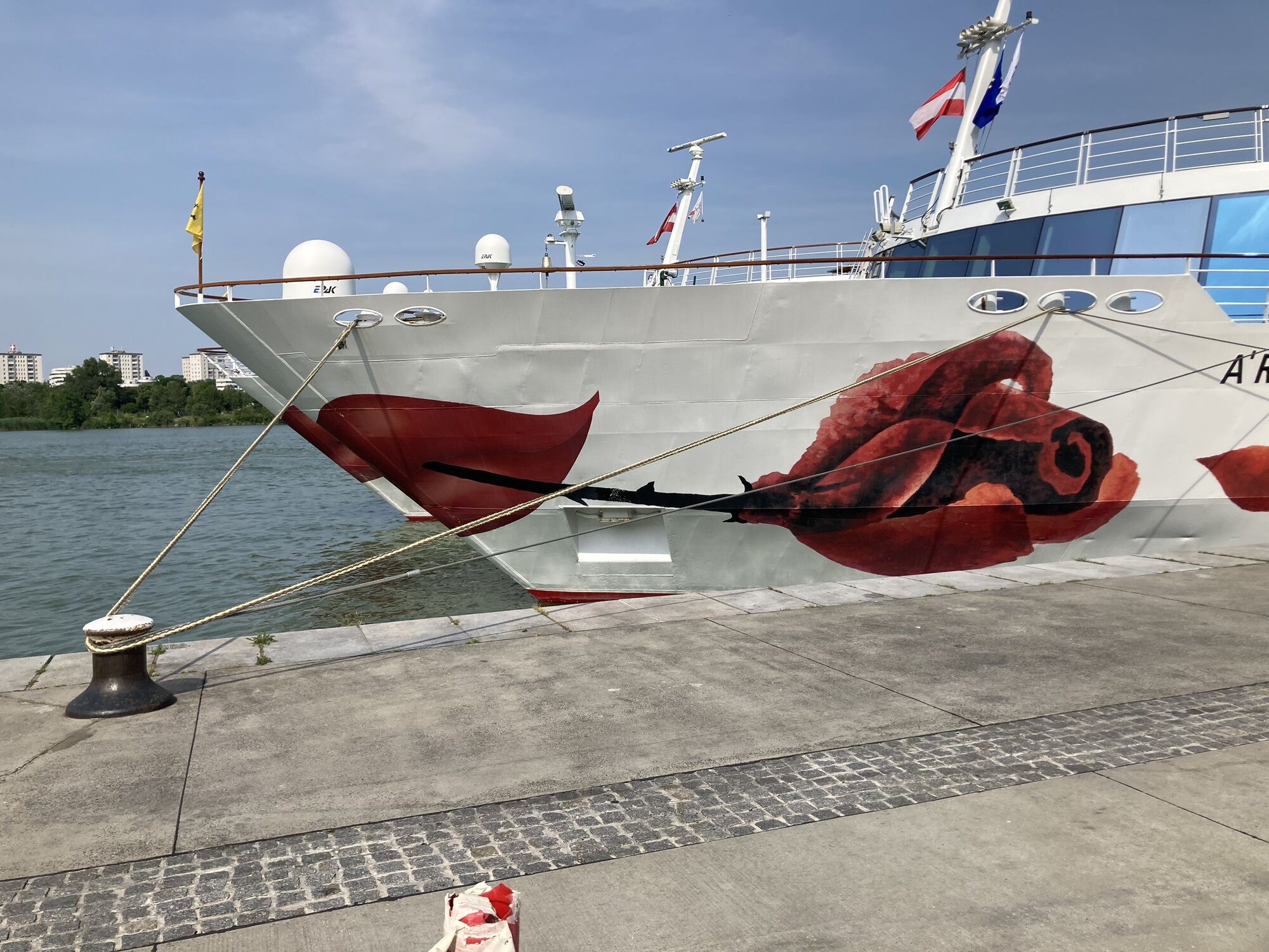
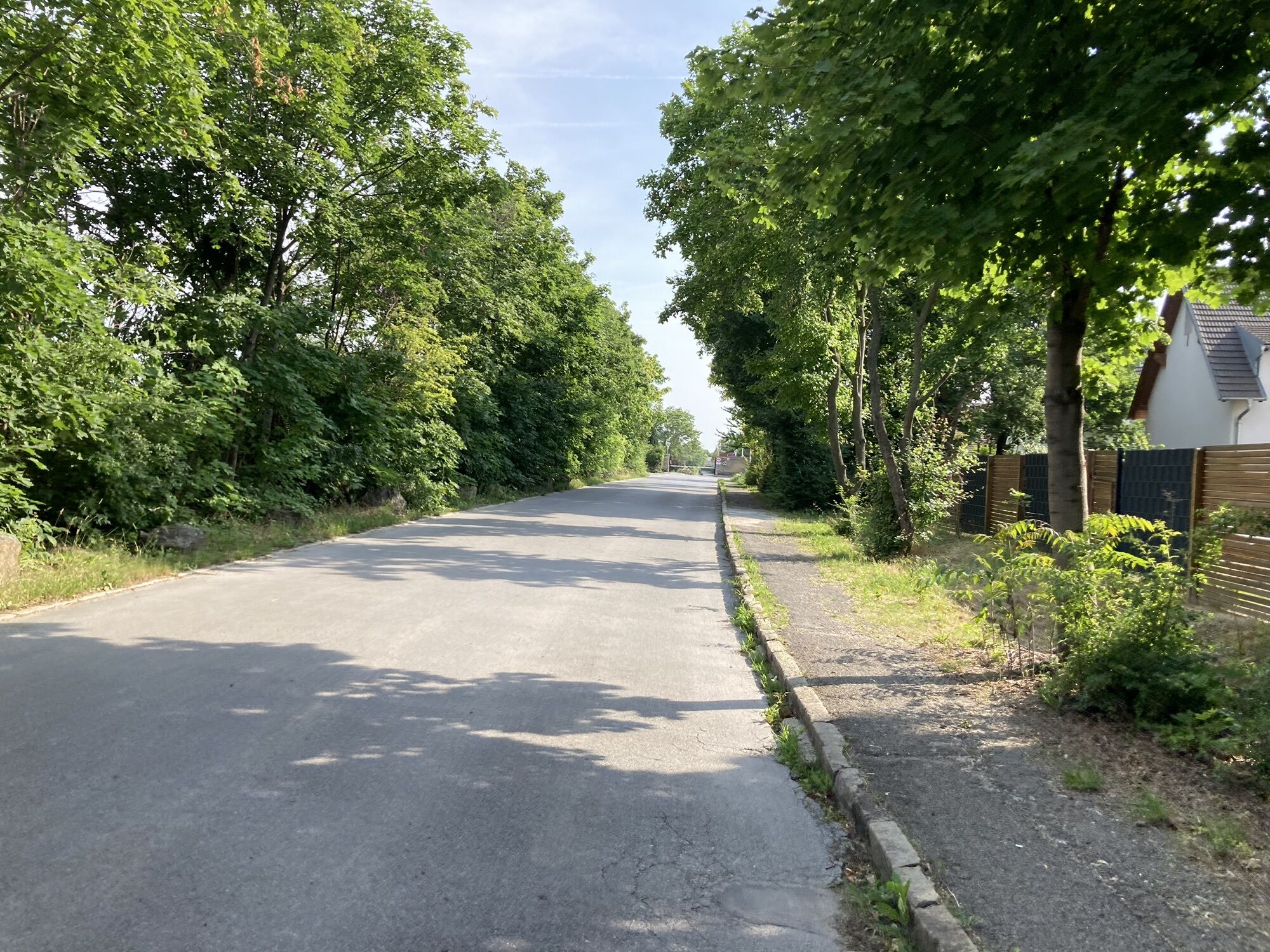
Photos from our users

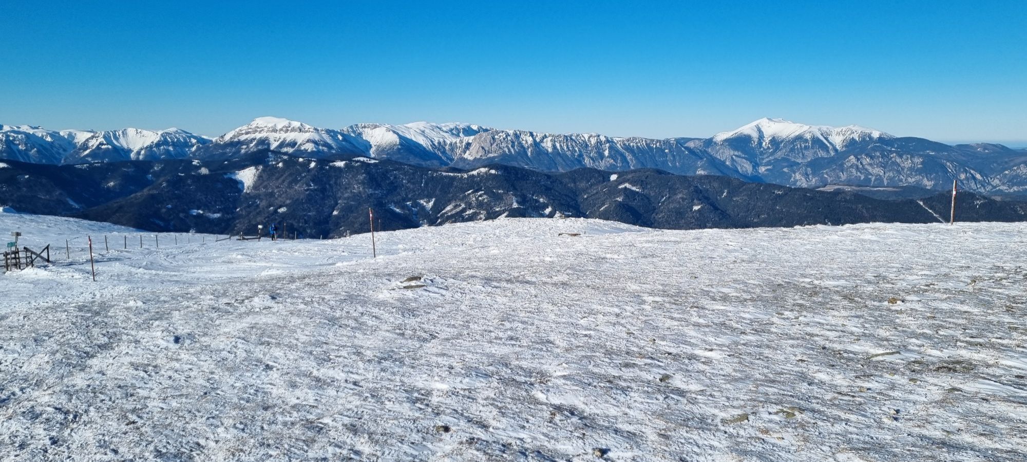
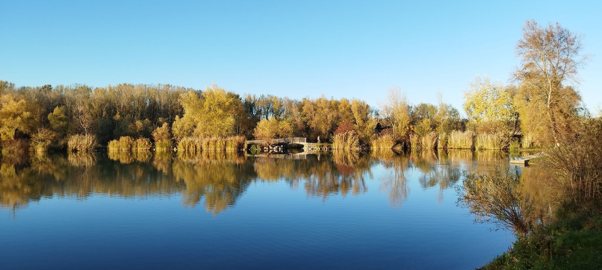
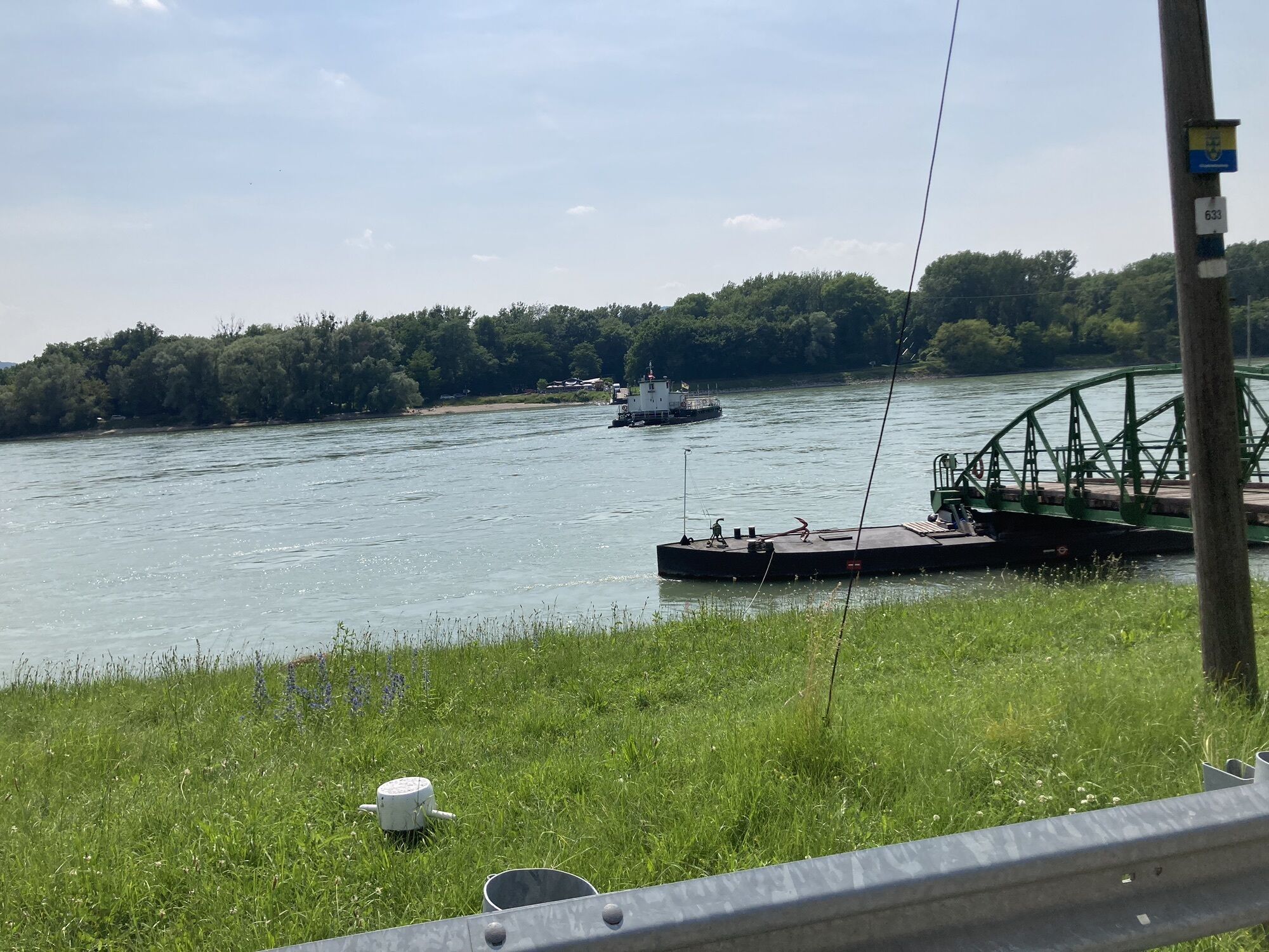
 © Peter StrohmayerCreated on 20.01.2024
 © Peter StrohmayerCreated on 20.01.2024
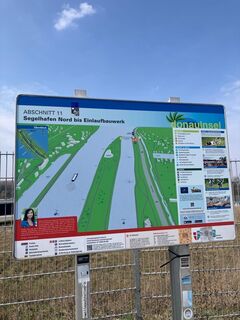
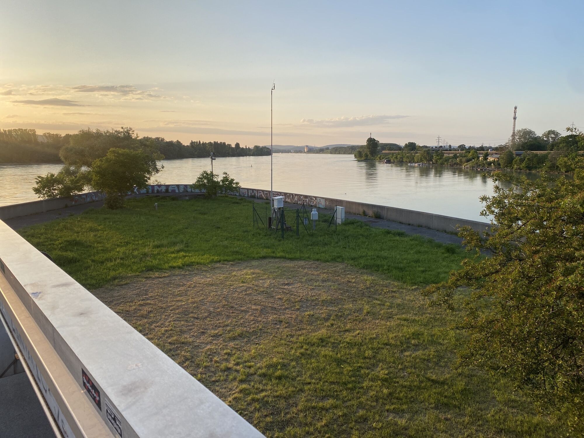
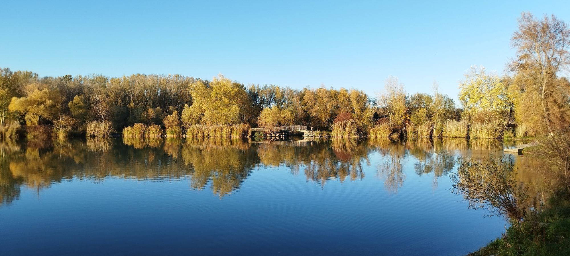
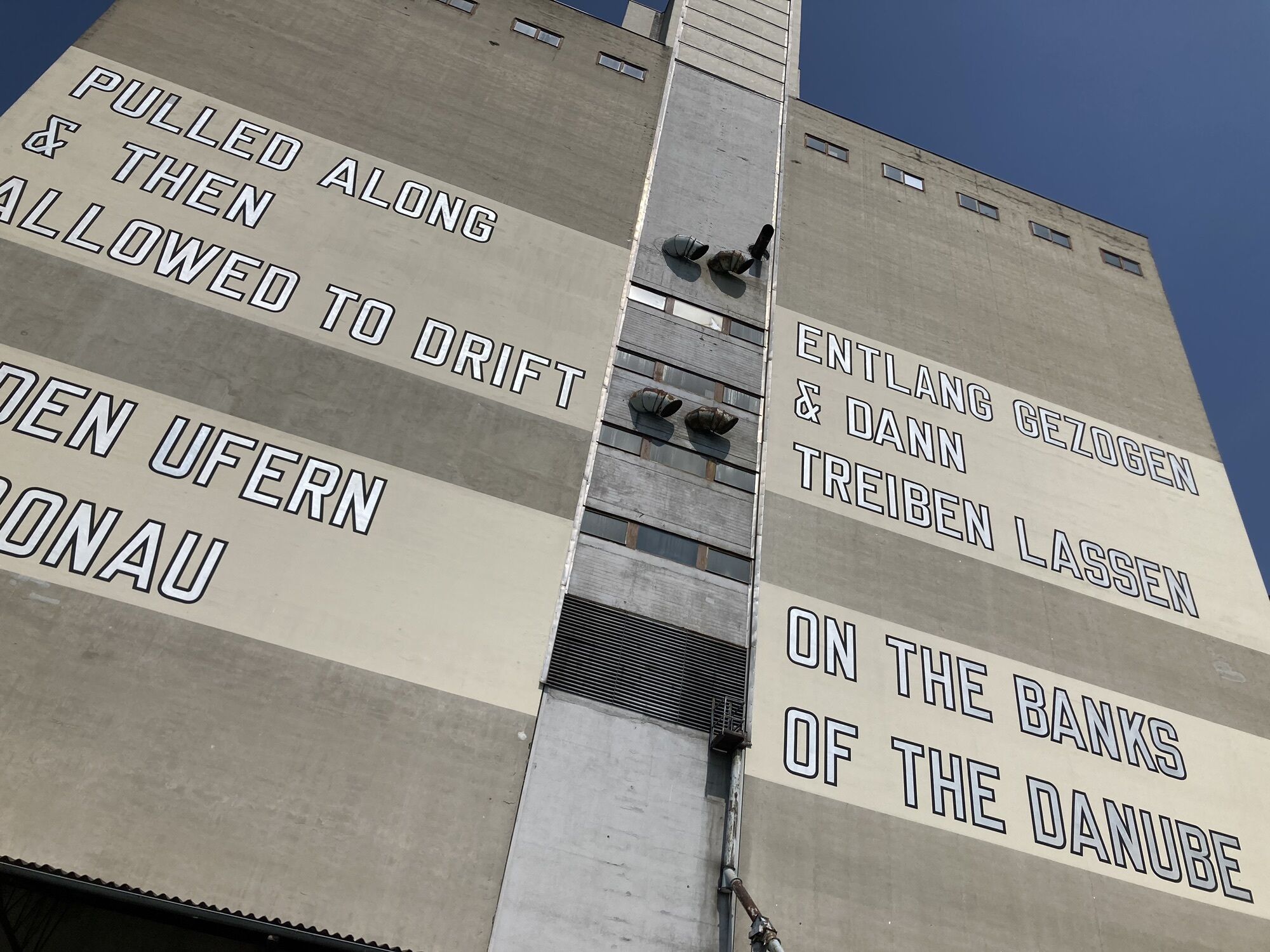
 © Flip durandCreated on 22.03.2025
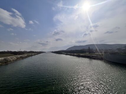 © Flip durandCreated on 22.03.2025
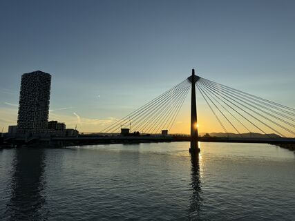
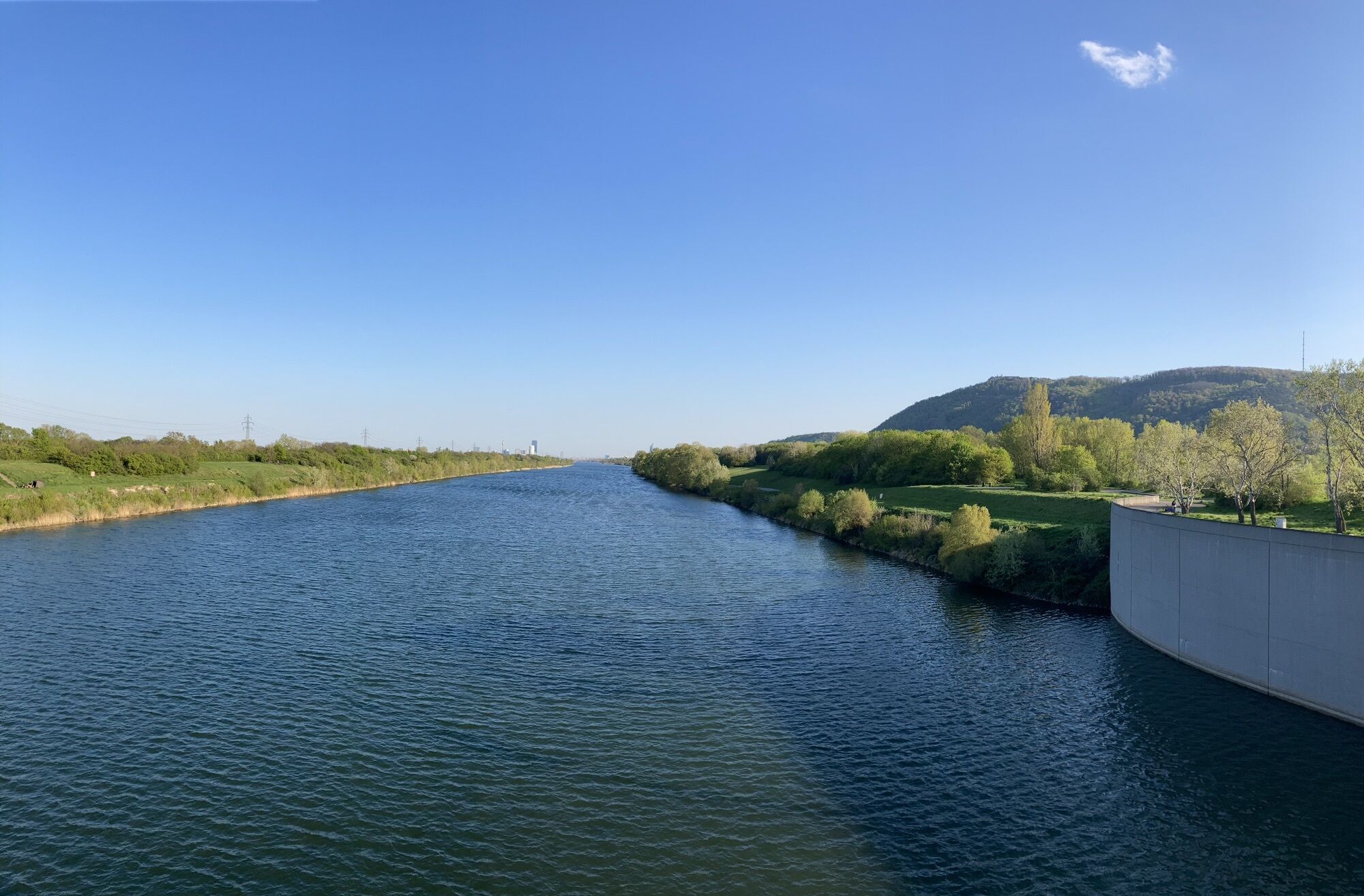
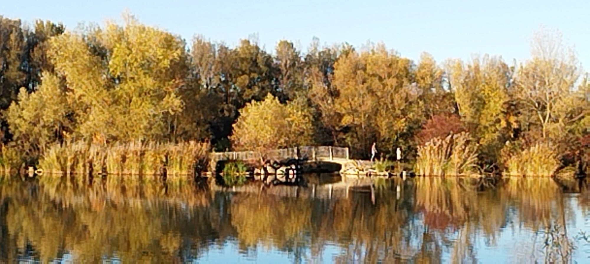
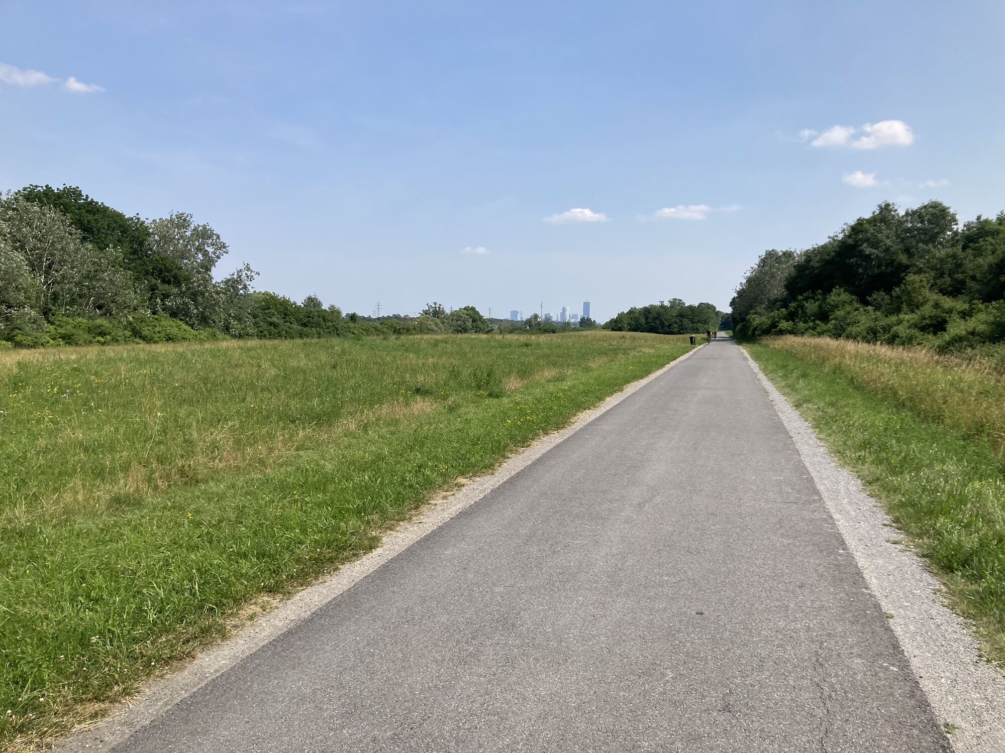
 © poeschekCreated on 16.06.2024
 © poeschekCreated on 16.06.2024
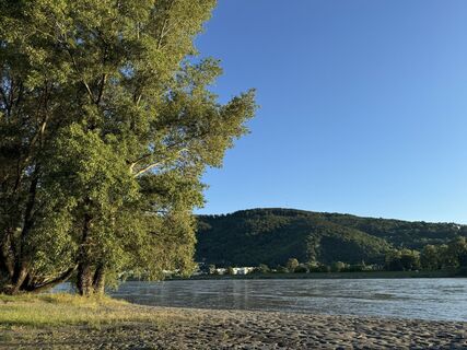 © poeschekCreated on 16.06.2024
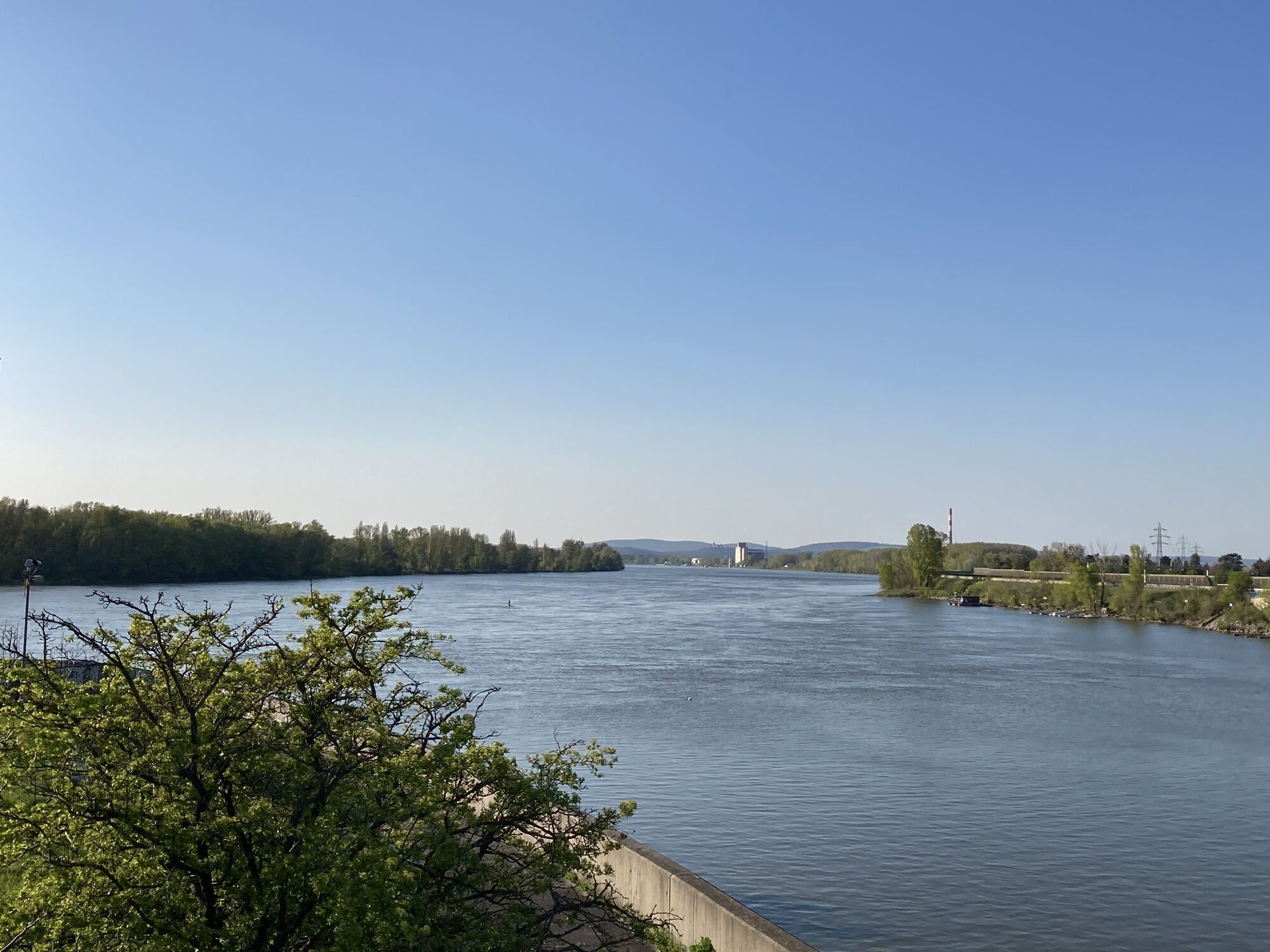
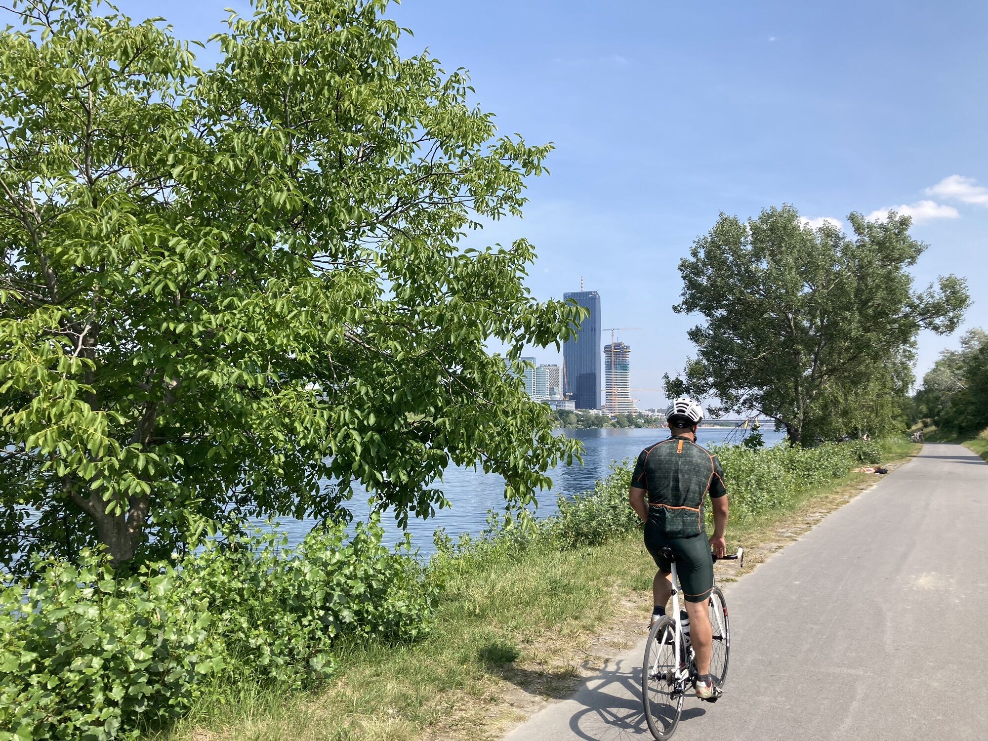
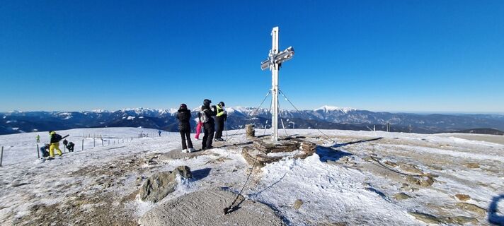 © Peter StrohmayerCreated on 20.01.2024
 © Peter StrohmayerCreated on 20.01.2024
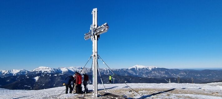 © Peter StrohmayerCreated on 20.01.2024
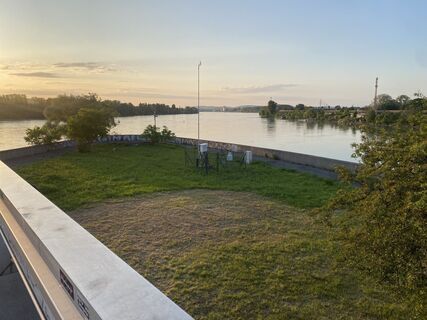 © Andreas SteindlCreated on 30.05.2023
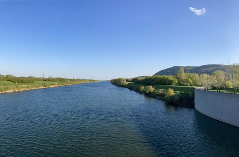
 © ksschmidCreated on 22.04.2023
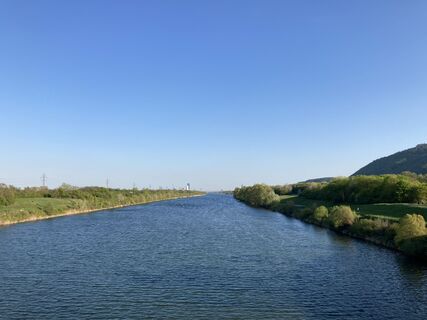 © ksschmidCreated on 22.04.2023
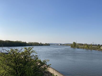 © ksschmidCreated on 22.04.2023
 © Falk LiebnerCreated on 06.11.2022
 © Falk LiebnerCreated on 06.11.2022
 © Falk LiebnerCreated on 06.11.2022
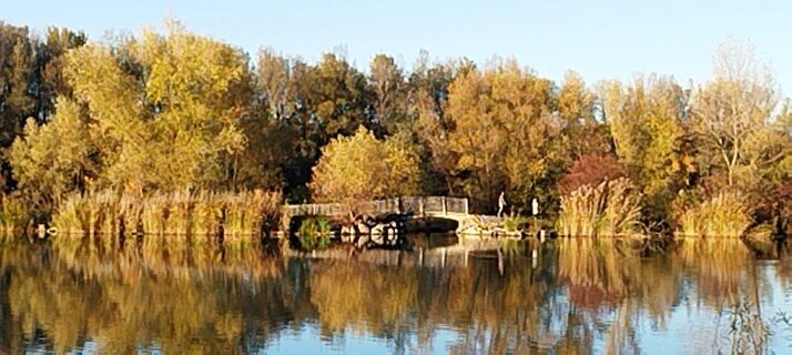 © Falk LiebnerCreated on 06.11.2022
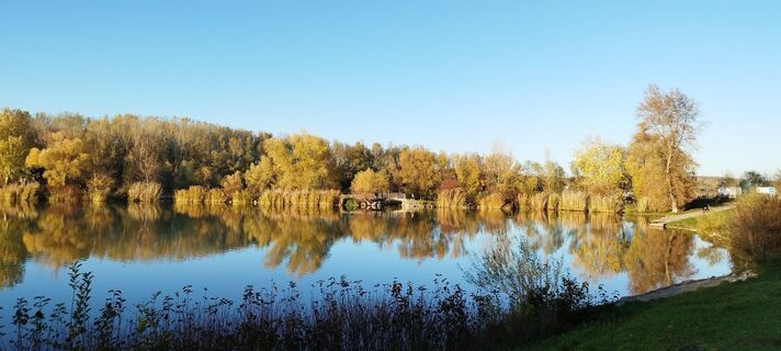 © Falk LiebnerCreated on 06.11.2022
 © Falk LiebnerCreated on 06.11.2022
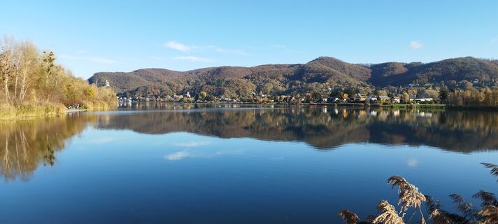 © Falk LiebnerCreated on 06.11.2022
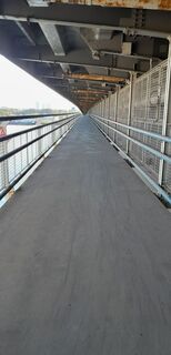
 © Rade IljicCreated on 23.09.2022
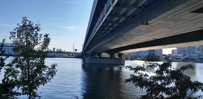 © Rade IljicCreated on 23.09.2022
 © Rade IljicCreated on 23.09.2022
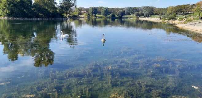 © Rade IljicCreated on 23.09.2022
 © brosensteinerCreated on 05.12.2021
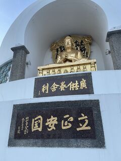 © brosensteinerCreated on 01.11.2021
 © brosensteinerCreated on 26.09.2021
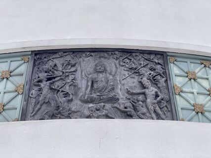 © brosensteinerCreated on 19.09.2021
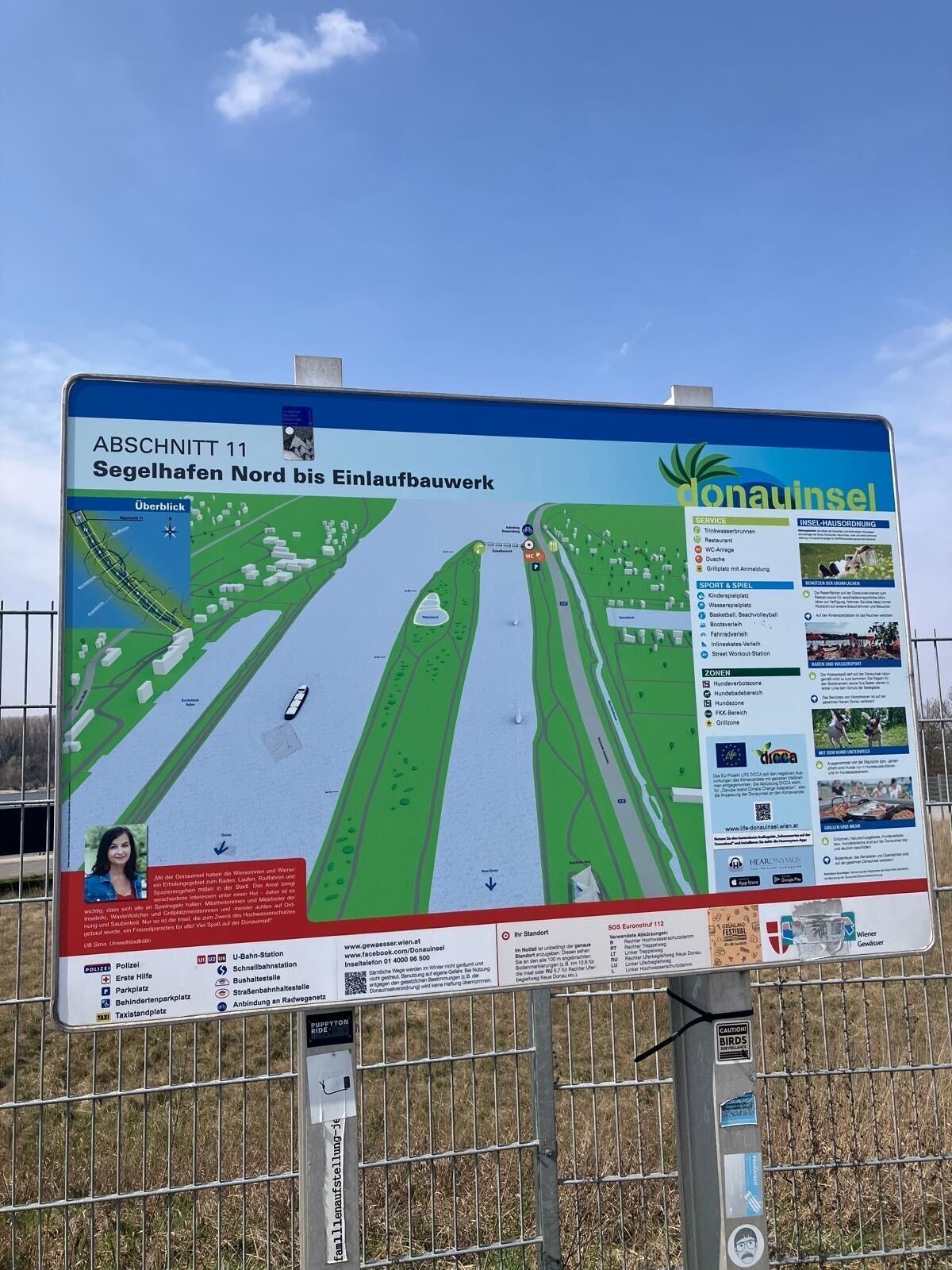
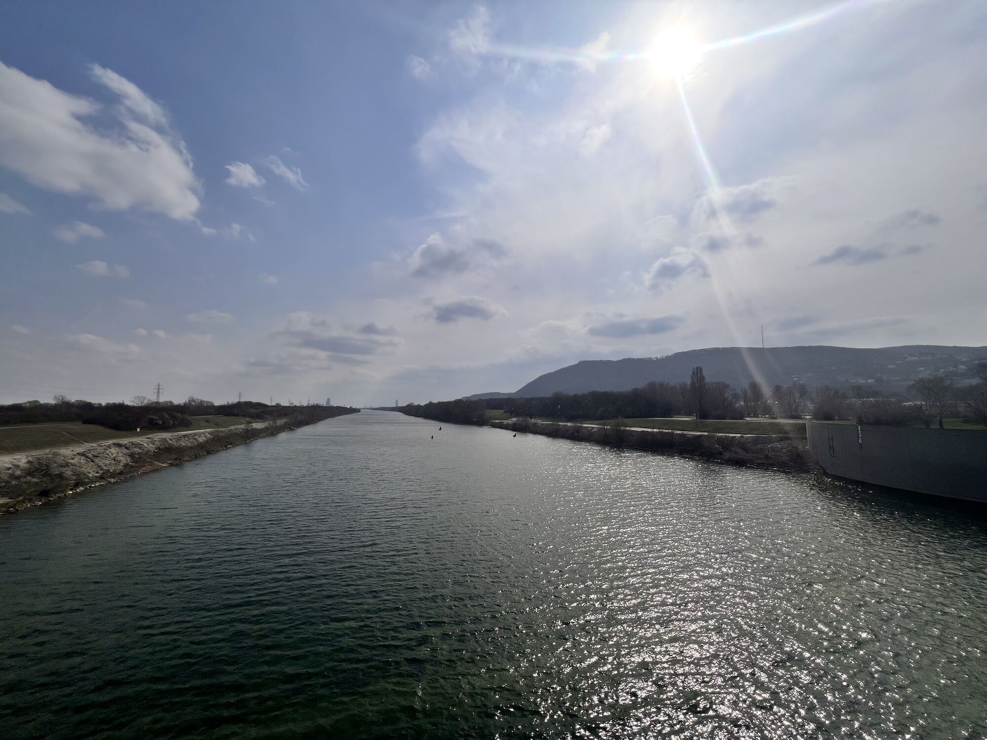

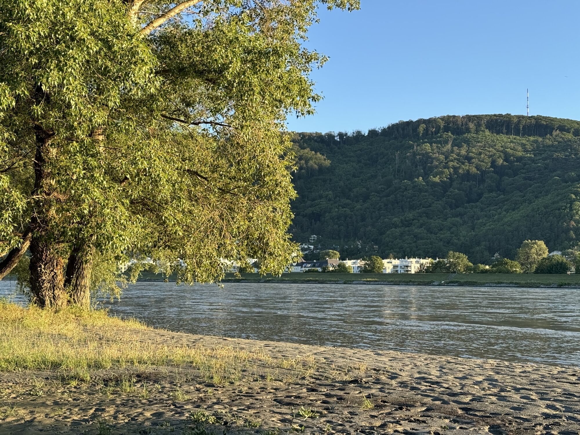


Route
Pfarrkirche Hl. Stephan
(185 m)
Place of worship
28.7 km
Hl. Nikolaus
(180 m)
Place of worship
35.5 km
Donaukapelle
(176 m)
Place of worship
47.3 km
Muckendorf an der Donau
(171 m)
Village
50.4 km
Klosterneuburg
(194 m)
City
69.5 km
Tempel Nipponzan Myōhōji
(163 m)
Place of worship
88.0 km
Schwechat
(162 m)
City
95.0 km
Route
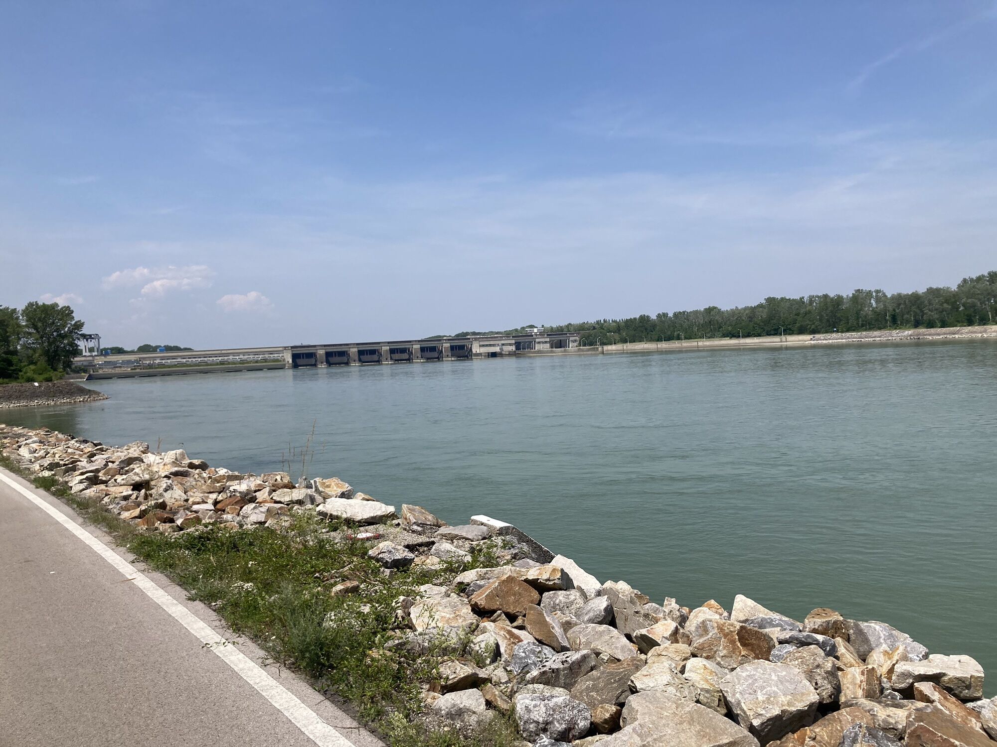
Mautern
medium
Racing
99.97
km
Krems an der Donau
(199 m)
City
0.3 km
Mitterau
(195 m)
Neighbourhood
0.6 km
Parkour- und Freerunning-Park
(194 m)
Playground
1.1 km
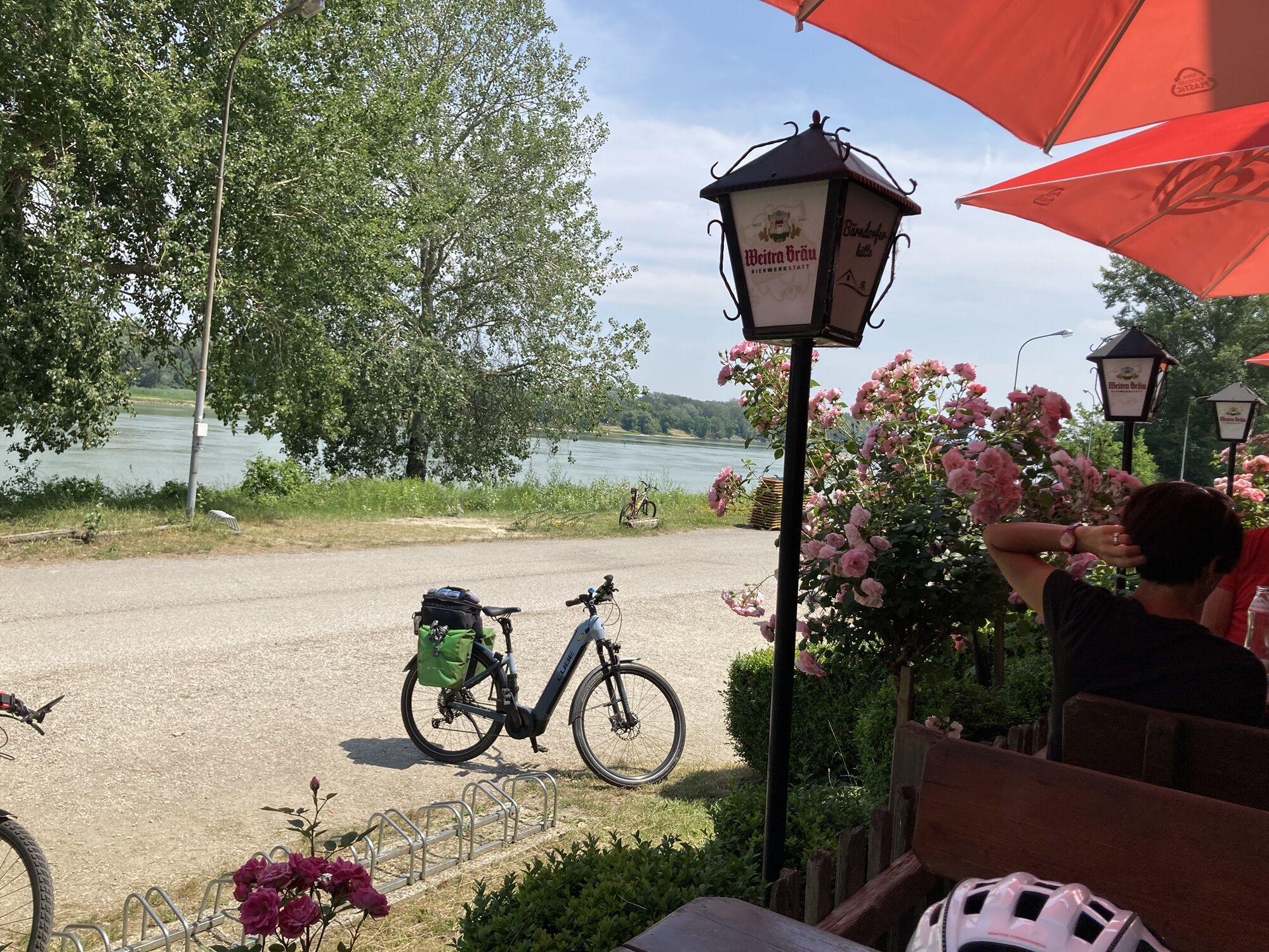
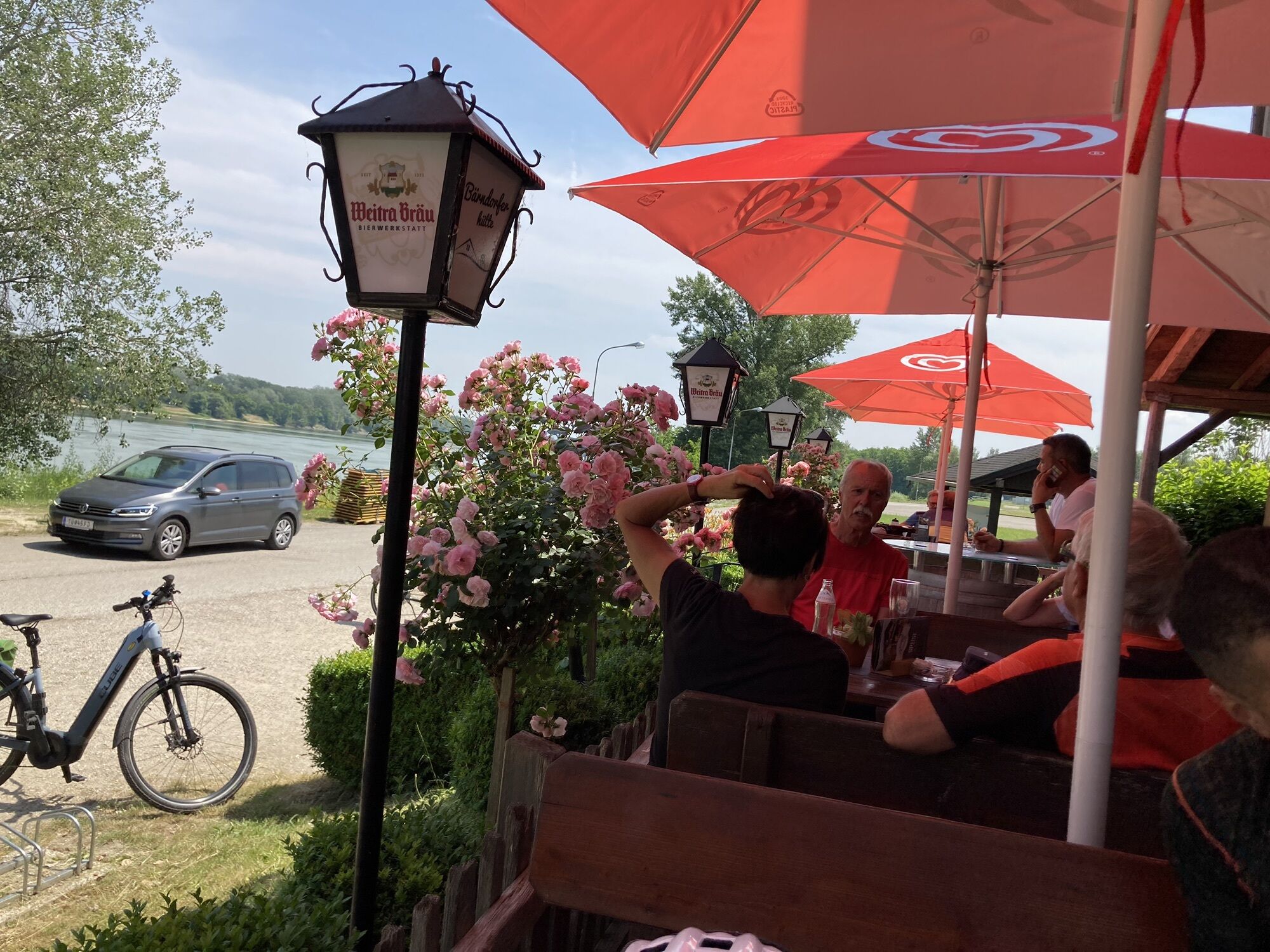
Bärndorfer Hütte
(184 m)
Restaurant
26.0 km
Zwentendorf an der Donau
(185 m)
Village
28.6 km
Pfarrkirche Hl. Stephan
(185 m)
Place of worship
28.7 km
St. Hubertus
(182 m)
Place of worship
30.0 km
Kleinschönbichl
(184 m)
Village
31.0 km
Pischelsdorf
(182 m)
Village
32.8 km
Heurigenschank Marschall
(181 m)
Restaurant
35.4 km
Hl. Nikolaus
(180 m)
Place of worship
35.5 km
Gasthaus Ehn
(180 m)
Restaurant
35.6 km
Langenschönbichl
(179 m)
Village
35.7 km
Kronau
(178 m)
Village
37.8 km
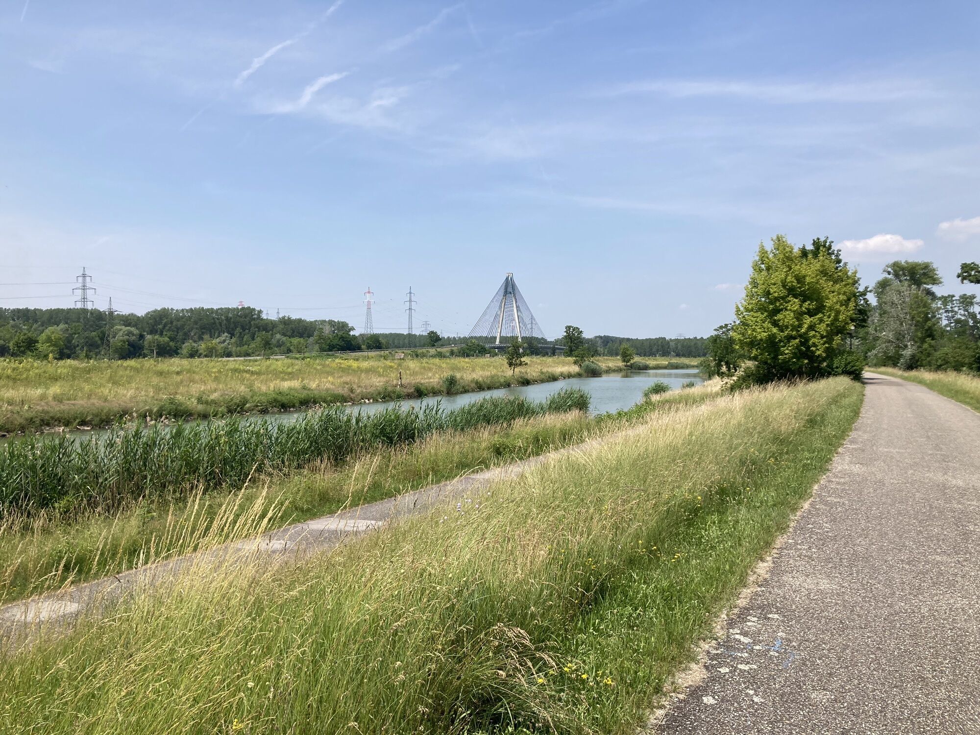
Tulln an der Donau
(179 m)
City
42.3 km
Langenlebarn - Oberaigen
(176 m)
Village
46.4 km
Donaukapelle
(176 m)
Place of worship
47.3 km
Langenlebarn - Unteraigen
(175 m)
Village
47.9 km
Muckendorf an der Donau
(171 m)
Village
50.4 km
Donaustüberl
(179 m)
Restaurant
50.7 km
Donauschänke Härtel
(173 m)
Restaurant
51.5 km
Spielplatz Hafenkneipe Greifenstein
(179 m)
Playground
54.7 km
Restaurant Wasserskischule
(179 m)
Restaurant
54.7 km
Höflein an der Donau
(171 m)
Village
60.7 km
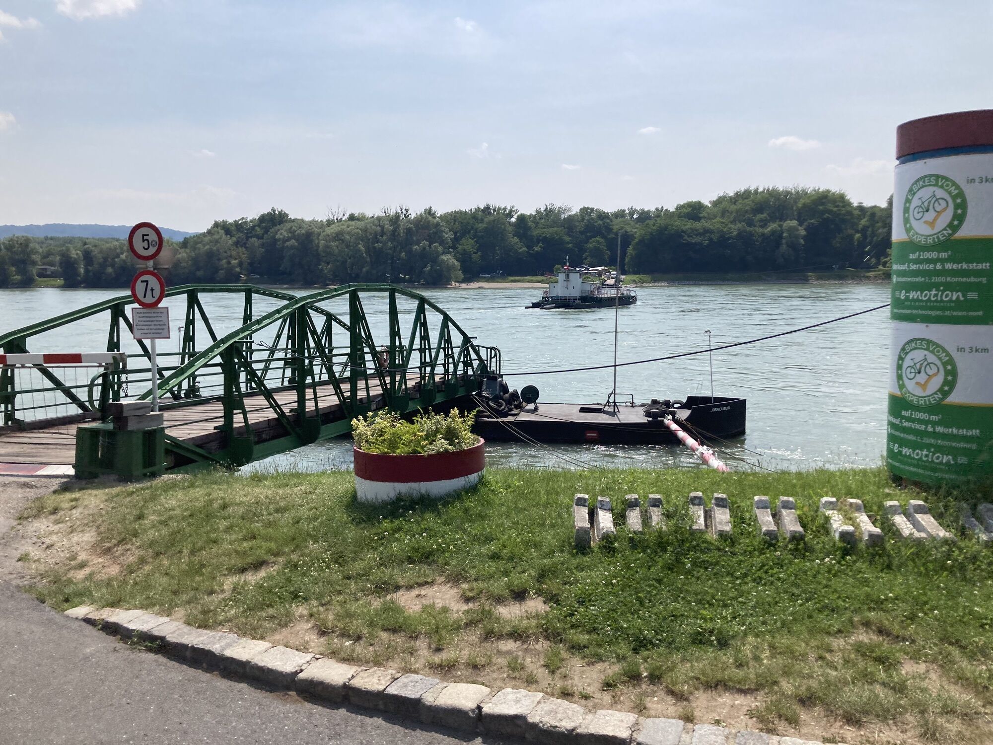
Donau Rollfähre Korneuburg-Klosterneuburg
(163 m)
Ferry landing stage
66.8 km
Donaurestaurant Tuttendörfl
(167 m)
Restaurant
67.1 km
Klosterneuburg
(194 m)
City
69.5 km
Vienna
(542 m)
City
82.5 km
Handelskai Pontoon 5
(163 m)
Ferry landing stage
82.5 km
Donaumarina
(160 m)
Railway station
85.5 km
Va bene
(163 m)
Restaurant
87.6 km
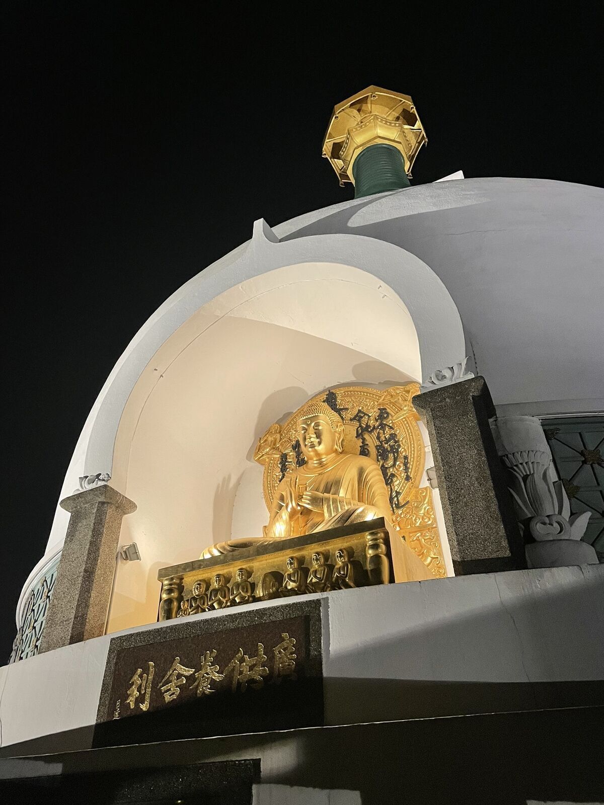
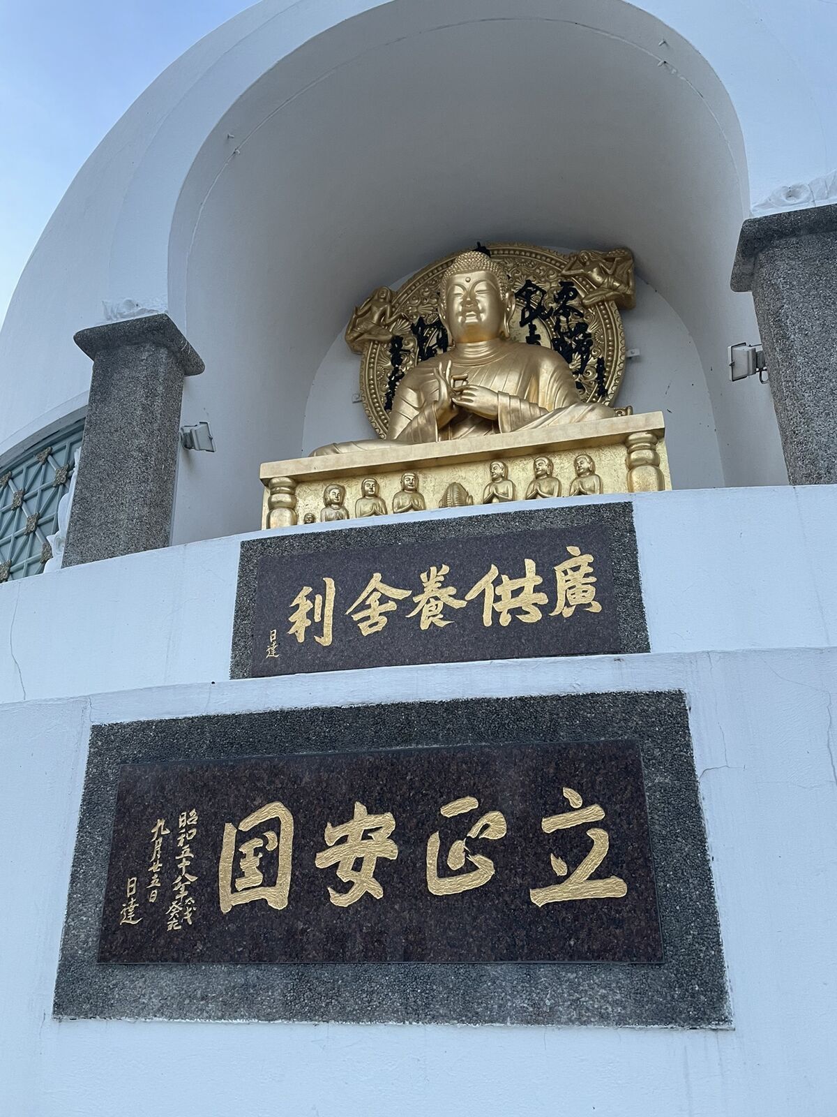
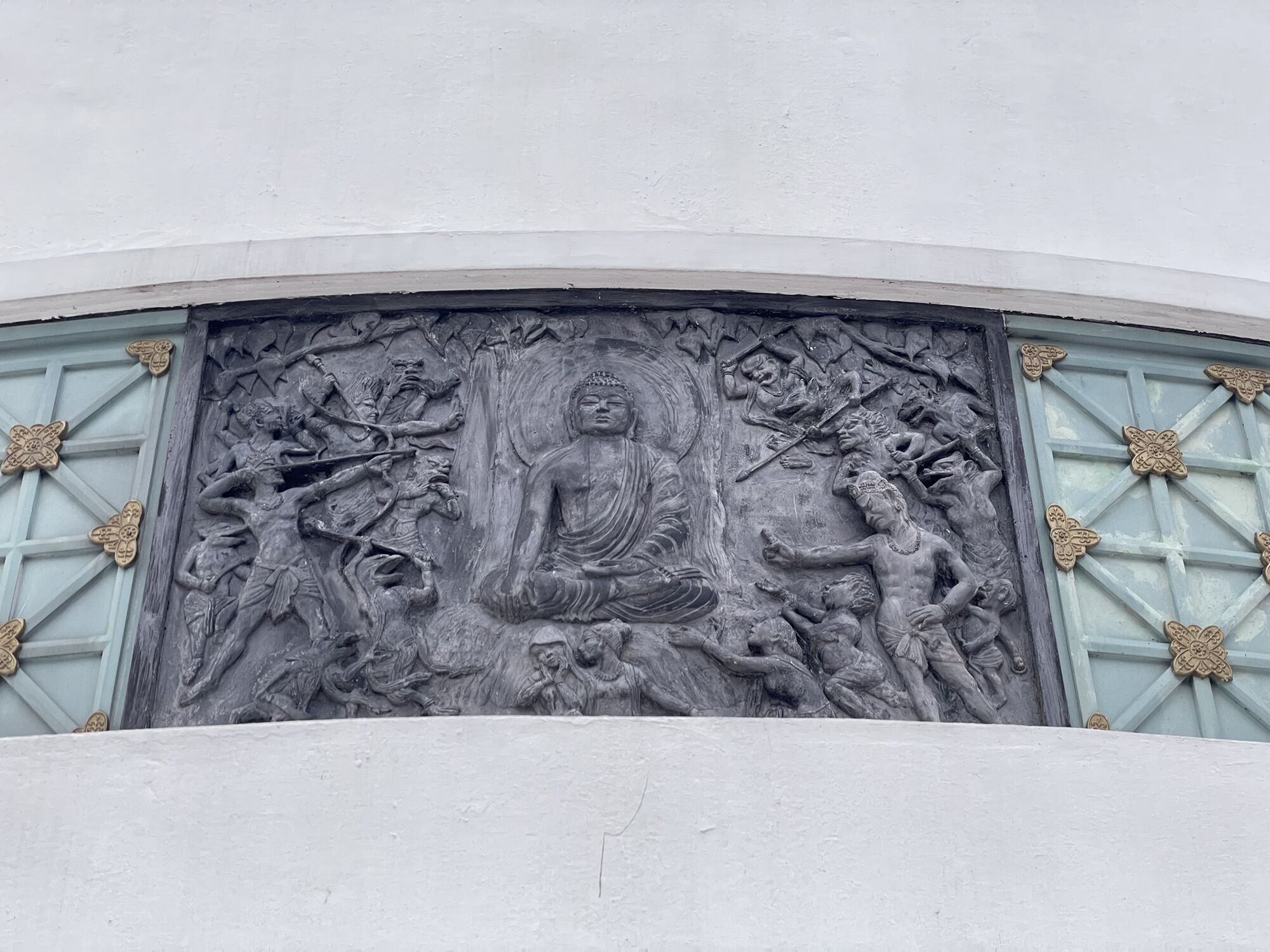
Peace Pagoda
(163 m)
Place of worship
87.9 km
Tempel Nipponzan Myōhōji
(163 m)
Place of worship
88.0 km
Pan
(157 m)
Restaurant
92.6 km
St. Peter und Paul
(157 m)
Place of worship
92.7 km
Groß-Schwechat
(162 m)
Neighbourhood
95.0 km
Schwechat
(162 m)
City
95.0 km
Altkettenhof
(162 m)
Neighbourhood
95.5 km
Rannersdorf
(163 m)
Village
96.5 km
Zwölfaxing
(168 m)
Village
99.3 km

Last tracked
one week ago
No reviews yet
Webcams of the tour
Burgtheater Wien
Wien Rathausturm
Wien Rathausturm
Wien Rathausturm
Wien Rathausturm
Wien Rathausturm
Wien Rathausturm
Wien Rathausturm
Wien Rathausturm
Wien Rathausturm
Wien Rathausturm
Wien - Brigittenau
Klosterneuburg
A1 Turm, Arsenal - Wien
Bisamberg
Flugplatz Krems an der Donau
Krems an der Donau
Krems an der Donau
Wien - Kronen Zeitung
Florian Berndl Bad - Korneuburg
Popular tours in the neighbourhood
- 4.5
Stadtwanderweg 3, Hameau (lt. Beschilderung)
lightHiking9.78 km - 4.7
Königstetten-Figlwarte-Hainbuch-Königstetten
mediumHiking8.20 km - 2.0
St. Andrä v. Hgt. Hagenbachklamm, Unterkirchbach, Hintersdorf, retour 25.12.2016
lightHiking8.80 km - 3.9
Stadtwanderweg 8 - Sophienalpe (lt. Beschilderung)
lightHiking9.31 km - 4.1
Von Mauerbach zum Hirschberg
mediumHiking9.84 km - 4.9
Rundwanderung Gablitz Gemeindeamt - Troppberg - Rabenstein - Gablitz Gemeindeamt
lightHiking12 km - 4.9
Kammersberg – Eichenhain - Haschhof ab/bis Weidling
lightHiking13.8 km - 3.7
Runde Hagenbachklamm und Bonka
lightHiking11.8 km - 4.0
Rund um die Kartause Mauerbach - Angelos wohininundumwien.at
lightHiking4.90 km - 4.5
Millennium-Strecke Sophienalpe Wanderweg
mediumMountainbike19.6 km
Hiking & Tracking

Over 550.000 tour suggestions, detailed maps and an intuitive route planner make the app a must-have for all nature enthusiasts.

Don't miss out on offers and inspiration for your next holiday
Subscribe to the newsletter
Error
An error has occurred. Please try again.Thank you for your registration
Your e-mail address has been added to the mailing list.
Tours throughout Europe
Austria Switzerland Germany Italy Slovenia France Netherlands Belgium Poland Liechtenstein Czechia Slovakia Spain Croatia Bosnia and Herzegovina Luxembourg Andorra Portugal Iceland United Kingdom Ireland Greece Albania North Macedonia Malta Norway Montenegro Moldova Kosovo Hungary San Marino Romania Estonia Latvia Belarus Cyprus Lithuania Serbia Bulgaria Monaco Denmark Sweden Finland