Prinzersdorf - Filialkirche hl. Blasius - hl. Dreifaltigkeit - Pfarrkirche Neidling
heavy
Navigate
Navigate
Get this tour on your mobile
Prinzersdorf - Filialkirche hl. Blasius - hl. Dreifaltigkeit - Pfarrkirche Neidling
heavy
Mountainbike
81.31
km
Scan the QR code and start navigation in the bergfex app

Hiking & Tracking


Distance
81.31
km
Duration
05:08
h
Ascent
351
m
Sea level
189 -
307
m
Track download
Prinzersdorf - Filialkirche hl. Blasius - hl. Dreifaltigkeit - Pfarrkirche Neidling
heavy
Mountainbike
81.31
km


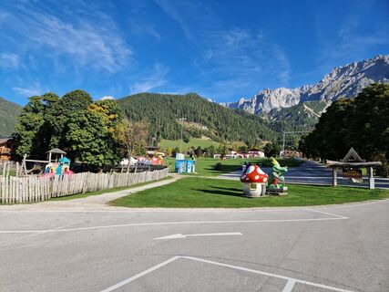
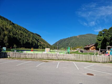
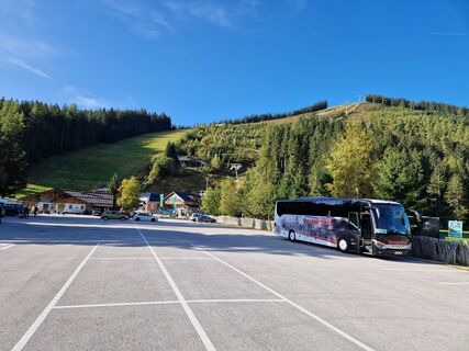
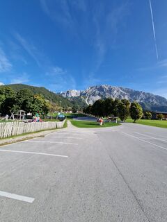
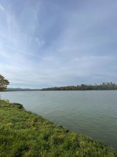
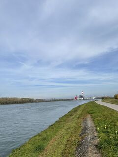
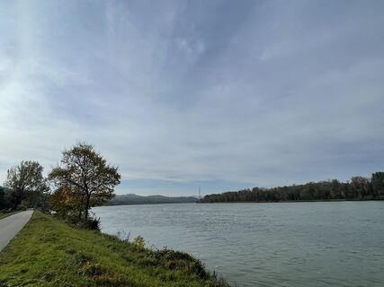
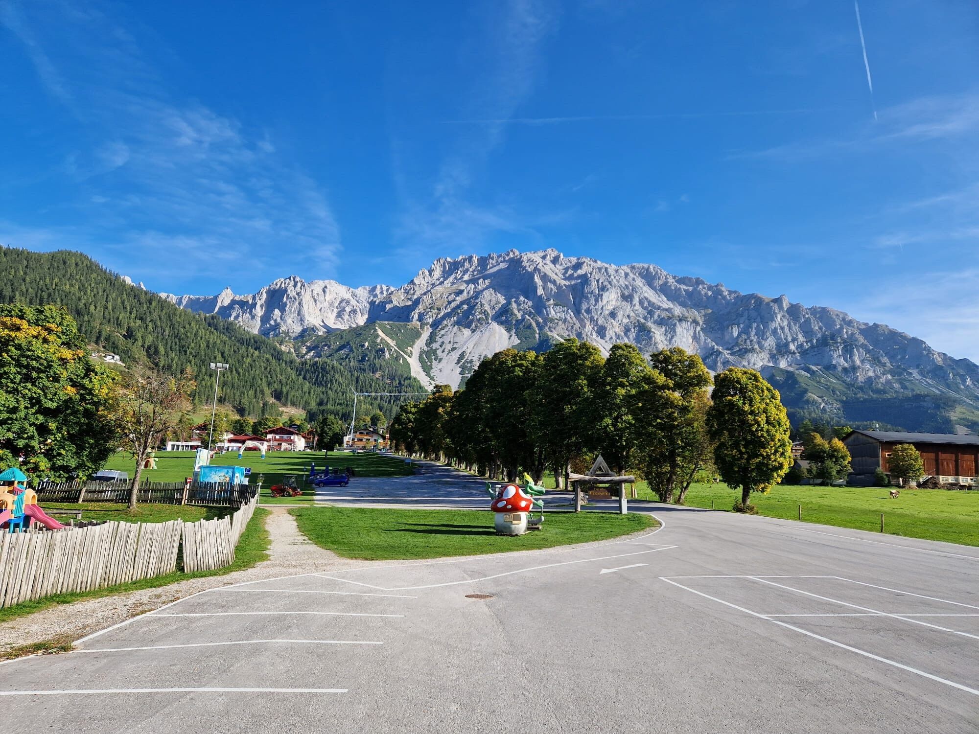
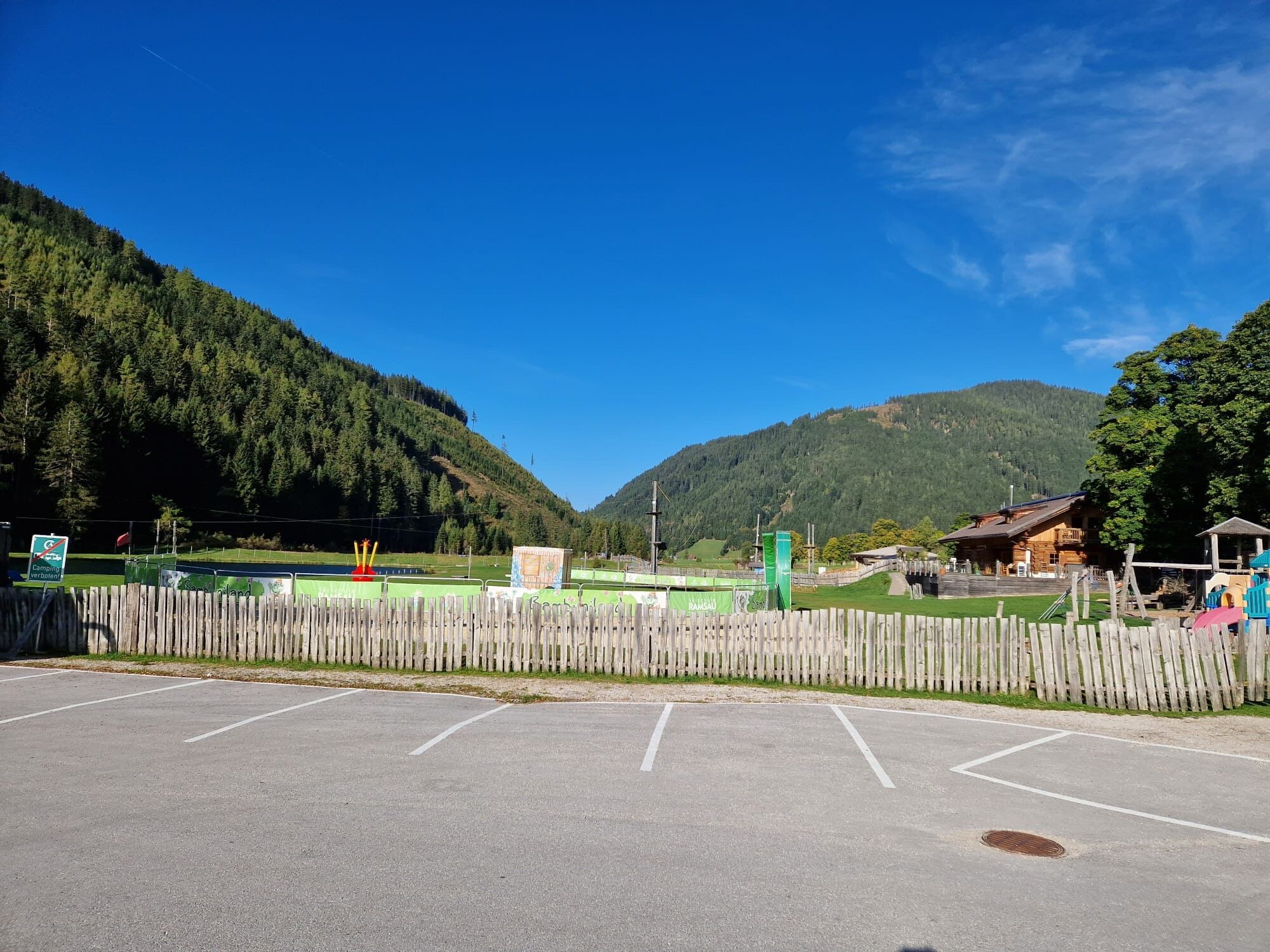
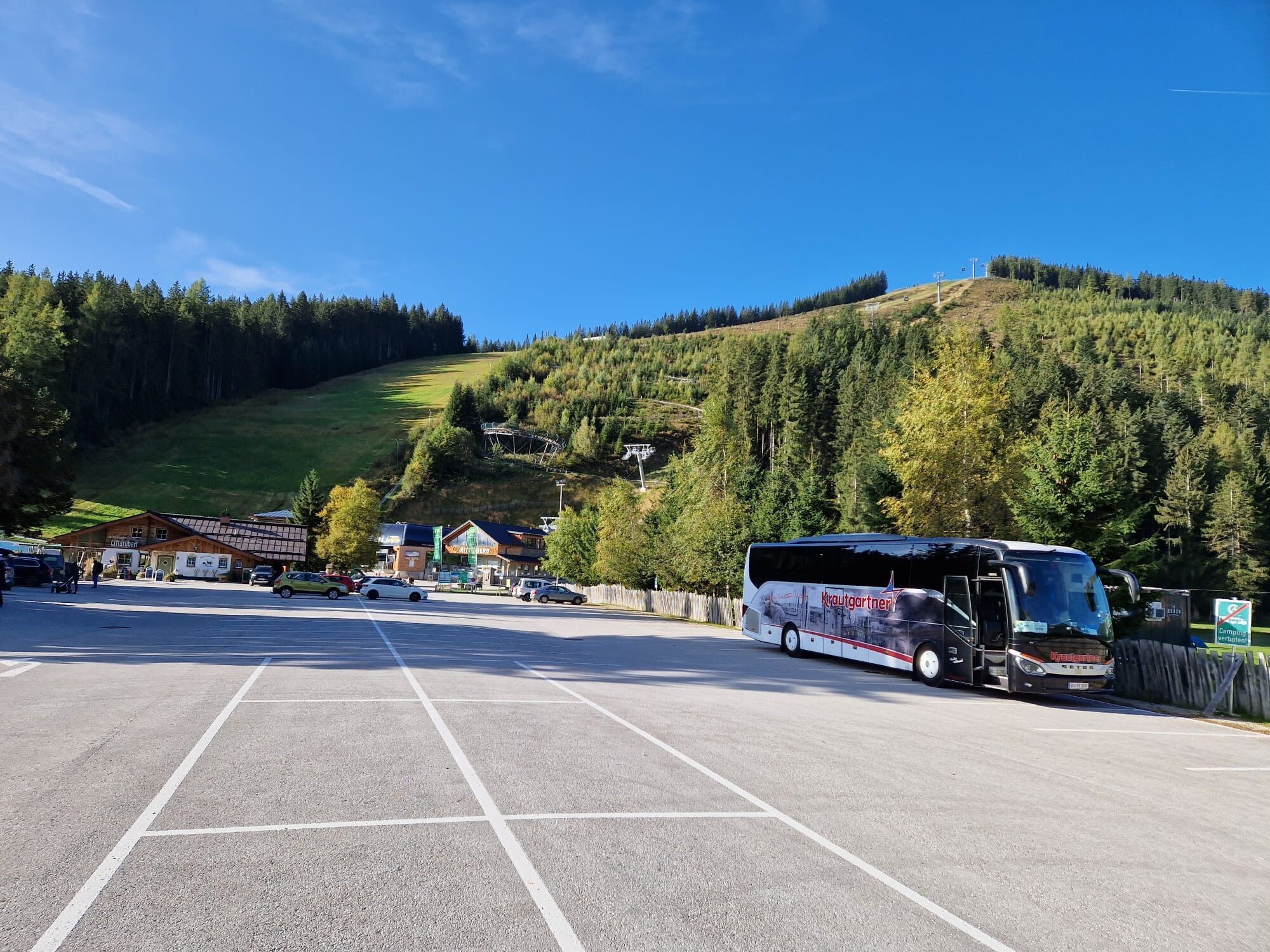
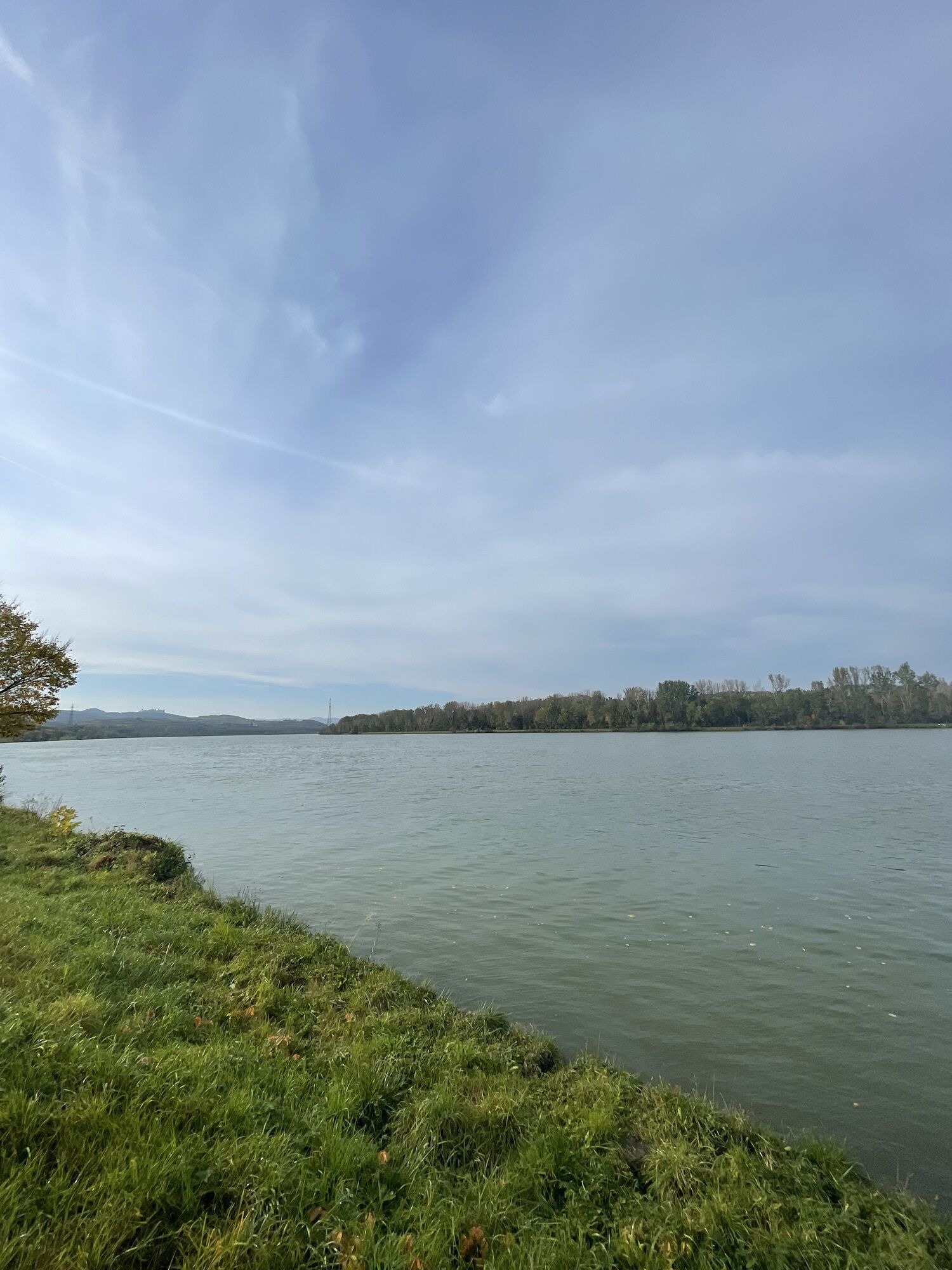
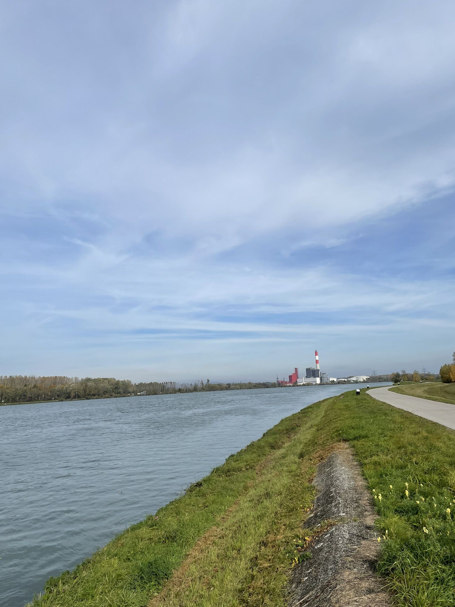
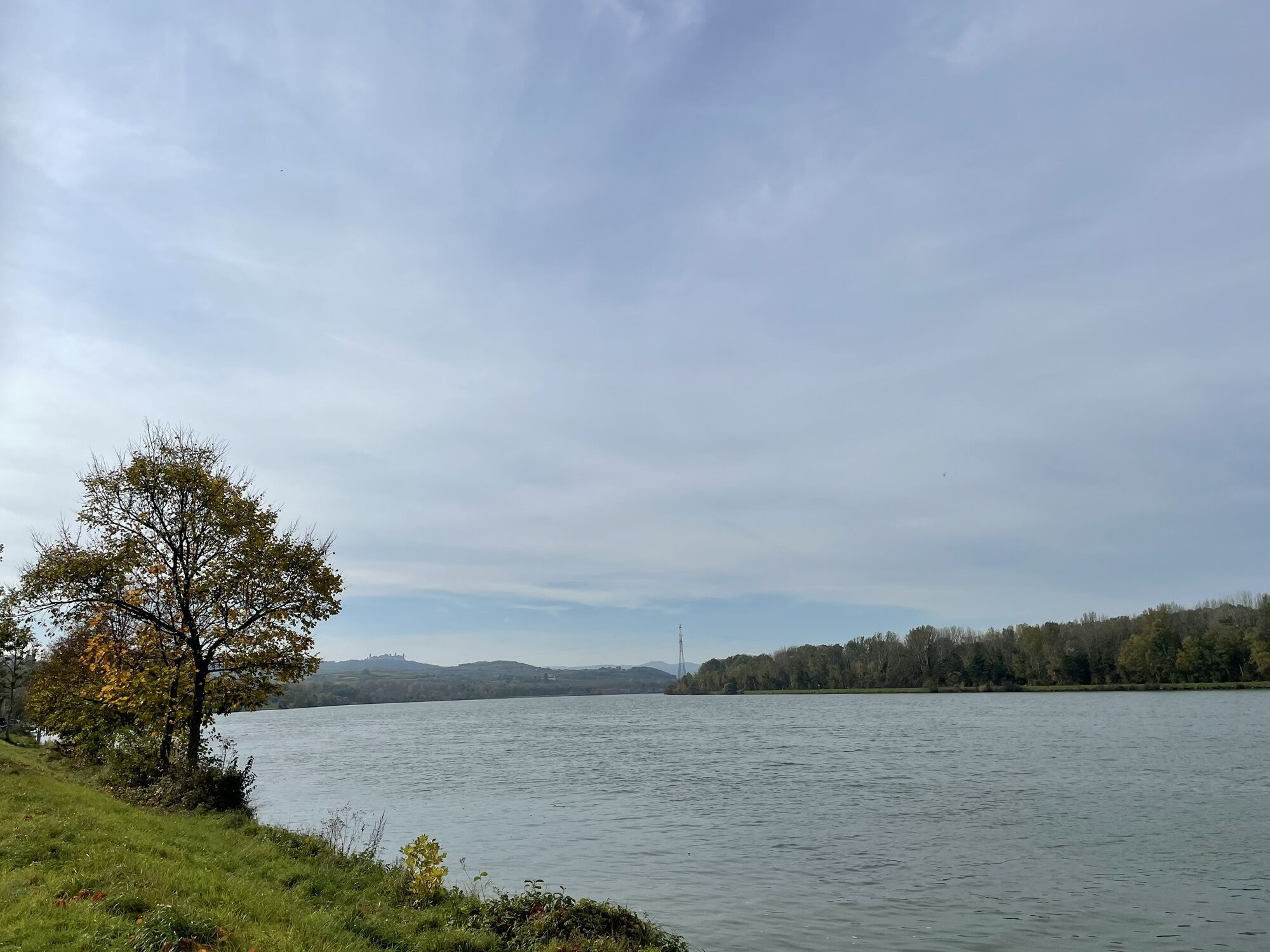
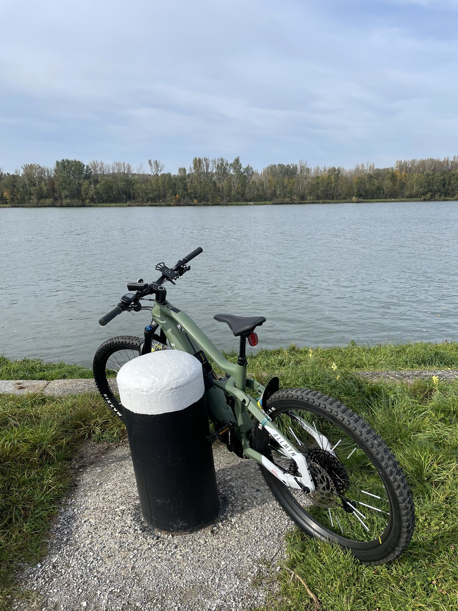
Photos from our users
-
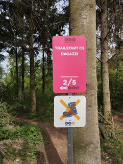
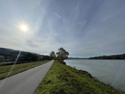
 © guenvollCreated on 08.04.2024
 -
 © guenvollCreated on 08.04.2024
 -

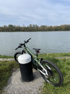
 © Lisset SvejkosvkyCreated on 07.10.2023
 -
 © Lisset SvejkosvkyCreated on 07.10.2023
 -
 © Lisset SvejkosvkyCreated on 07.10.2023
 -
 © Lisset SvejkosvkyCreated on 07.10.2023
 -
 © Lisset SvejkosvkyCreated on 07.10.2023
 -
 © Adrian CoroiCreated on 23.10.2022
 -
 © Adrian CoroiCreated on 23.10.2022
 -
 © Adrian CoroiCreated on 23.10.2022
 -
 © Adrian CoroiCreated on 23.10.2022
 -
 © Adrian CoroiCreated on 23.10.2022
 -
 © Adrian CoroiCreated on 23.10.2022


Route
St. Pölten
(267 m)
City
5.6 km
Großhain
(278 m)
Village
12.1 km
Filialkirche hl. Blasius
(259 m)
Place of worship
24.9 km
hl. Dreifaltigkeit
(202 m)
Place of worship
29.2 km
Traismauer
(196 m)
City
46.8 km
St. Pölten
(267 m)
City
67.5 km
Pfarrkirche Neidling
(311 m)
Place of worship
74.4 km
Route
Prinzersdorf - Filialkirche hl. Blasius - hl. Dreifaltigkeit - Pfarrkirche Neidling
heavy
Mountainbike
81.31
km
Prinzersdorf
(256 m)
Railway station
0.0 km
Grillenhöfe
(265 m)
Settlement
3.2 km
Jägerhöfe
(264 m)
Settlement
3.7 km
St. Pölten
(267 m)
City
5.6 km
Waitzendorf
(271 m)
Village
6.4 km
Restaurant Seeland
(276 m)
Restaurant
6.4 km
Weitern
(286 m)
Village
8.8 km
Ragelsdorf
(283 m)
Village
10.3 km
Großhain
(278 m)
Village
12.1 km
Kleinhain
(283 m)
Village
12.4 km
Diendorf
(277 m)
Settlement
12.8 km
Greiling
(277 m)
Settlement
14.1 km
Fugging
(273 m)
Village
16.0 km
Meidling im Tal
(264 m)
Village
21.5 km
Hörfarth
(262 m)
Village
22.6 km
Paudorf
(253 m)
Railway station
23.5 km
Filialkirche hl. Blasius
(259 m)
Place of worship
24.9 km
Klein-Wien
(241 m)
Village
25.0 km
Weinbau Hoffmann
(240 m)
Restaurant
25.8 km
Altmannibründl
(233 m)
Source
25.9 km
Weinbau Nosko
(239 m)
Restaurant
25.9 km
Winzerhof Ramoser
(228 m)
Restaurant
26.2 km
Steinaweg
(227 m)
Village
26.3 km
Aigen
(218 m)
Settlement
27.2 km
Furth bei Göttweig
(212 m)
Village
28.0 km
hl. Dreifaltigkeit
(202 m)
Place of worship
29.2 km
Palt
(204 m)
Village
29.4 km
Krems an der Donau
(199 m)
City
31.3 km
Kleedorf
(211 m)
Settlement
36.9 km
porto velo
(196 m)
Restaurant
37.7 km
Hollenburg
(197 m)
Village
37.9 km
Donaurestaurant
(195 m)
Restaurant
44.0 km
Traismauer
(196 m)
City
46.8 km
Oberndorf am Gebirge
(208 m)
Village
49.5 km
Einöd
(212 m)
Village
51.6 km
Sankt Andrä an der Traisen
(218 m)
Village
53.4 km
Herzogenburg
(227 m)
City
55.5 km
Wasserburg
(238 m)
Village
58.9 km
Lourdeskirche
(264 m)
Place of worship
66.7 km
St. Pölten
(267 m)
City
67.5 km
Kupferbrunn
(284 m)
Neighbourhood
67.6 km
Waitzendorf
(271 m)
Village
69.6 km
Restaurant Seeland
(276 m)
Restaurant
69.7 km
Afing
(271 m)
Village
72.2 km
Pultendorf
(281 m)
Settlement
73.1 km
Flinsbach
(307 m)
Village
74.0 km
Neidling
(311 m)
Village
74.3 km
Pfarrkirche Neidling
(311 m)
Place of worship
74.4 km
Watzelsdorf
(290 m)
Village
75.5 km
Distelburg
(268 m)
Settlement
77.2 km
Zendorf
(260 m)
Settlement
78.6 km
Prinzersdorf
(252 m)
Village
81.0 km
Prinzersdorf
(256 m)
Railway station
81.3 km
No reviews yet
Popular tours in the neighbourhood
-
4.9
Vogelbergsteig -Kanzel- Fesselhütte - Ruine Dürnstein zum Heurigen in Furth
mediumHiking 7.59 km -
4.8
"Dürnstein Trail" - Die landschaftlich und architektonische Schönheit der Wachau erleben.
lightHiking 6.95 km -
4.8
Burgruine Dürnstein - Fesslhütte - Vogelbergsteig
mediumHiking 5 km -
4.3
Wachauer Marillenerlebnisweg, Krems-Angern
lightHiking 6.04 km -
5.0
"Dürnstein Alt und Neu Runde" Ruine - Vogelberg - Fesslhütte - Kanzl
lightHiking 5.31 km -
3.4
Über den Göttweiger Walderlebnisweg zu den Mammutbäumen
lightHiking 3.77 km -
4.8
Smaragdeidechse Wachau
lightHiking 4.78 km -
5.0
Ruine Dürnstein und Vogelbergsteig - Angelos Touren
mediumHiking 6 km -
4.6
Krems (Welterbesteig) - Dürnstein - Vogelbergsteig - Kanzel - Fesslhütte - Krems
mediumHiking 18.0 km -
3.8
PAUDORF Göttweig Waxenberg Mammutbäume 20201018
mediumHiking 15.6 km
Hiking & Tracking

Over 550.000 tour suggestions, detailed maps and an intuitive route planner make the app a must-have for all nature enthusiasts.

Don't miss out on offers and inspiration for your next holiday
Subscribe to the newsletter
Error
An error has occurred. Please try again.
Thank you for your registration
Your e-mail address has been added to the mailing list.
Tours throughout Europe
Austria
Switzerland
Germany
Italy
Slovenia
France
Netherlands
Belgium
Poland
Liechtenstein
Czechia
Slovakia
Spain
Croatia
Bosnia and Herzegovina
Luxembourg
Andorra
Portugal
Iceland
United Kingdom
Ireland
Greece
Albania
North Macedonia
Malta
Norway
Montenegro
Moldova
Kosovo
Hungary
San Marino
Romania
Estonia
Latvia
Belarus
Cyprus
Lithuania
Serbia
Bulgaria
Monaco
Denmark
Sweden
Finland