


Level of difficulty: 1


Photos from our users
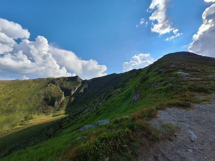
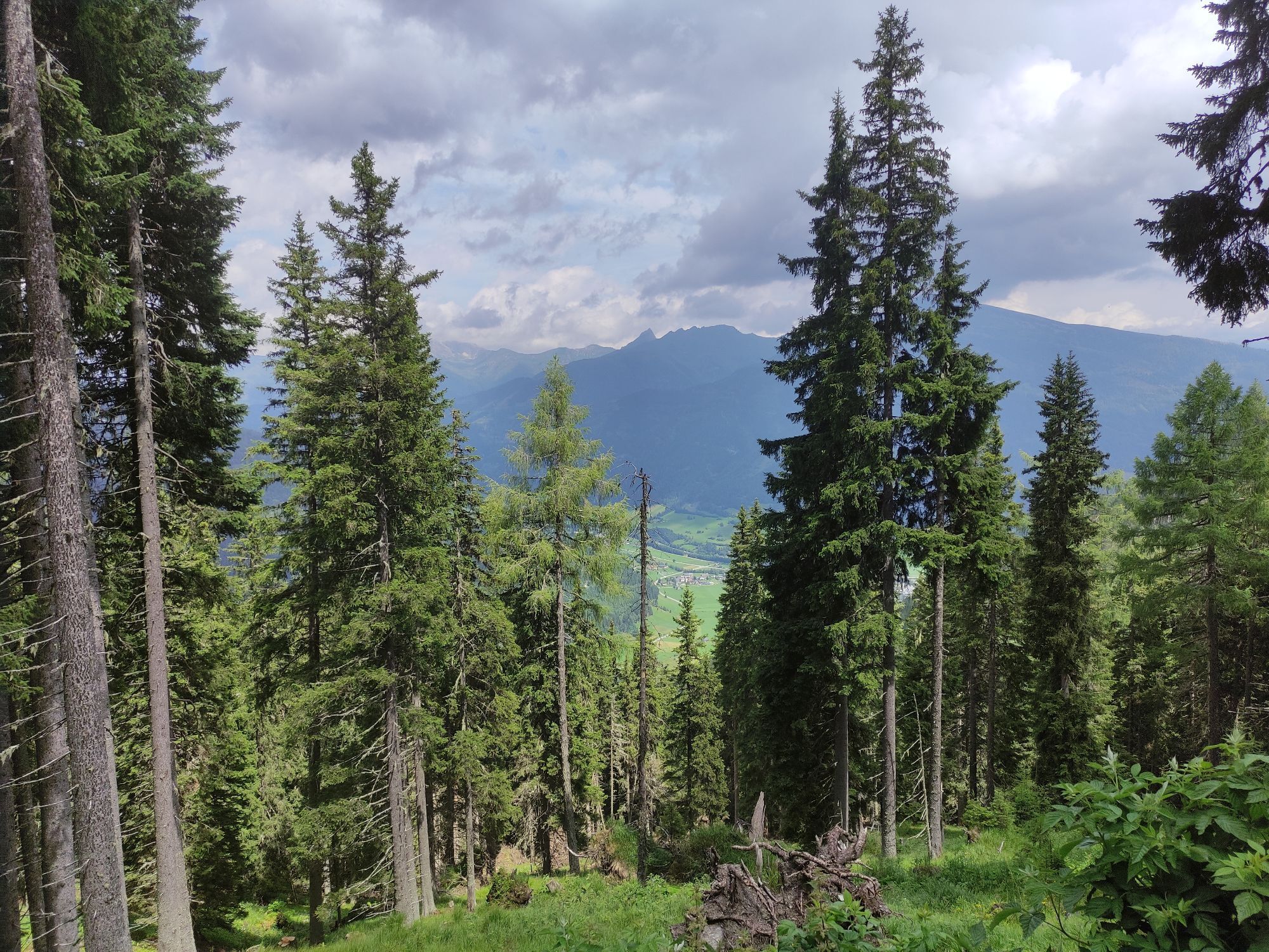
 © Patrick FresenbergerCreated on 13.08.2024
 © Patrick FresenbergerCreated on 13.08.2024
 © Patrick FresenbergerCreated on 13.08.2024
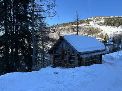
 © RacingeddiCreated on 30.12.2023
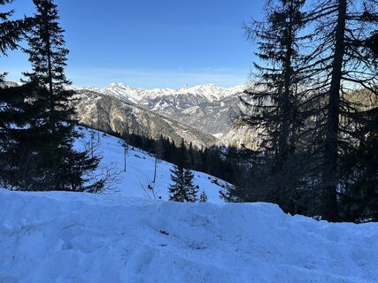 © RacingeddiCreated on 30.12.2023
 © RacingeddiCreated on 30.12.2023
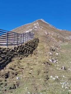
 © Albert GrillitschCreated on 15.09.2025
 © Jonny BlackCreated on 06.09.2025
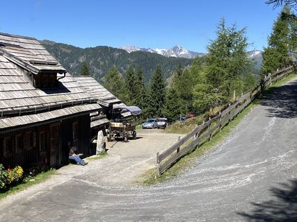 © Jonny BlackCreated on 06.09.2025
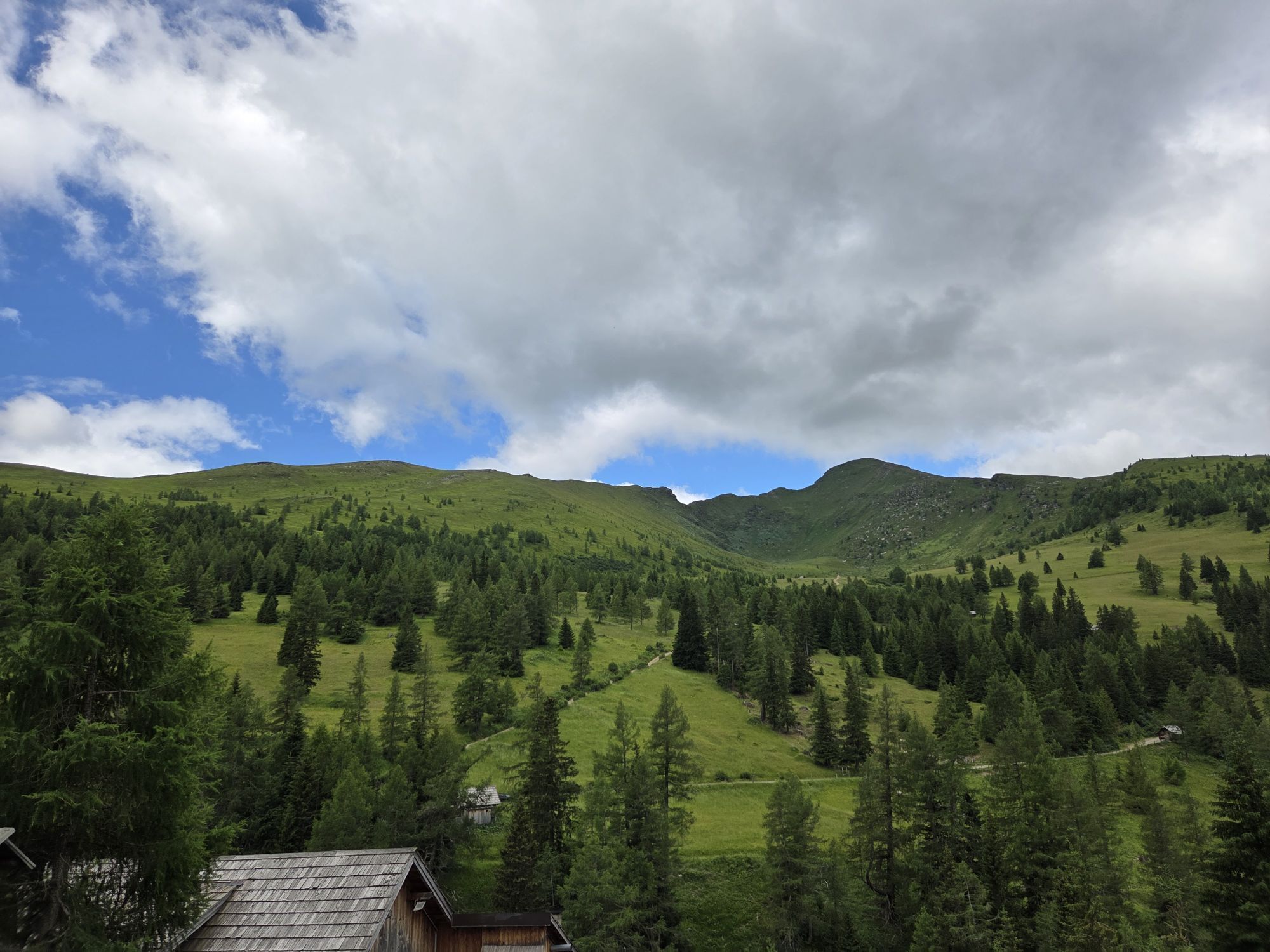
 © Dirk KlinserCreated on 28.06.2025
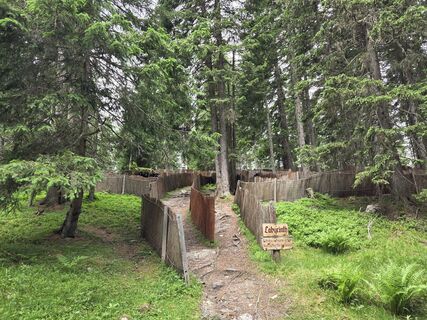 © Dirk KlinserCreated on 28.06.2025
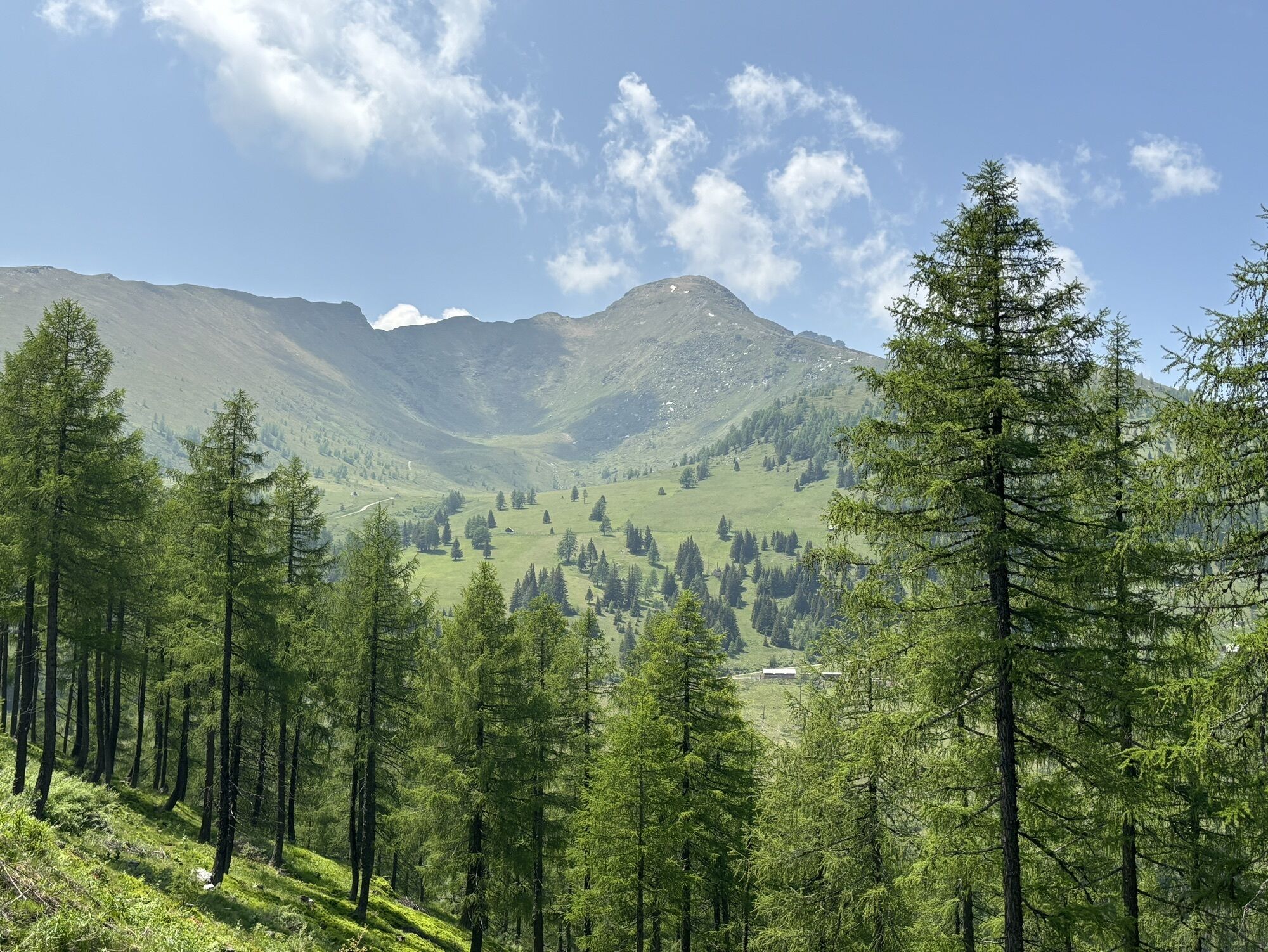
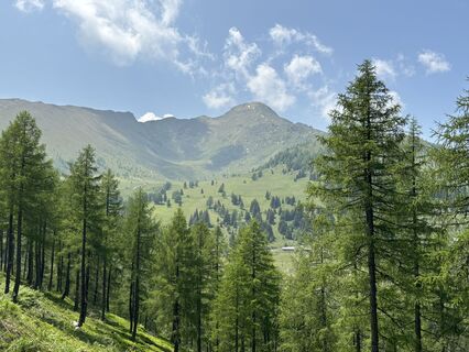 © W ThiemCreated on 12.06.2025
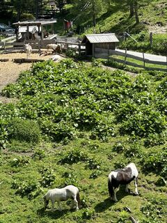 © W ThiemCreated on 12.06.2025
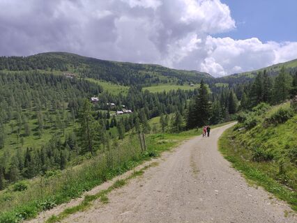
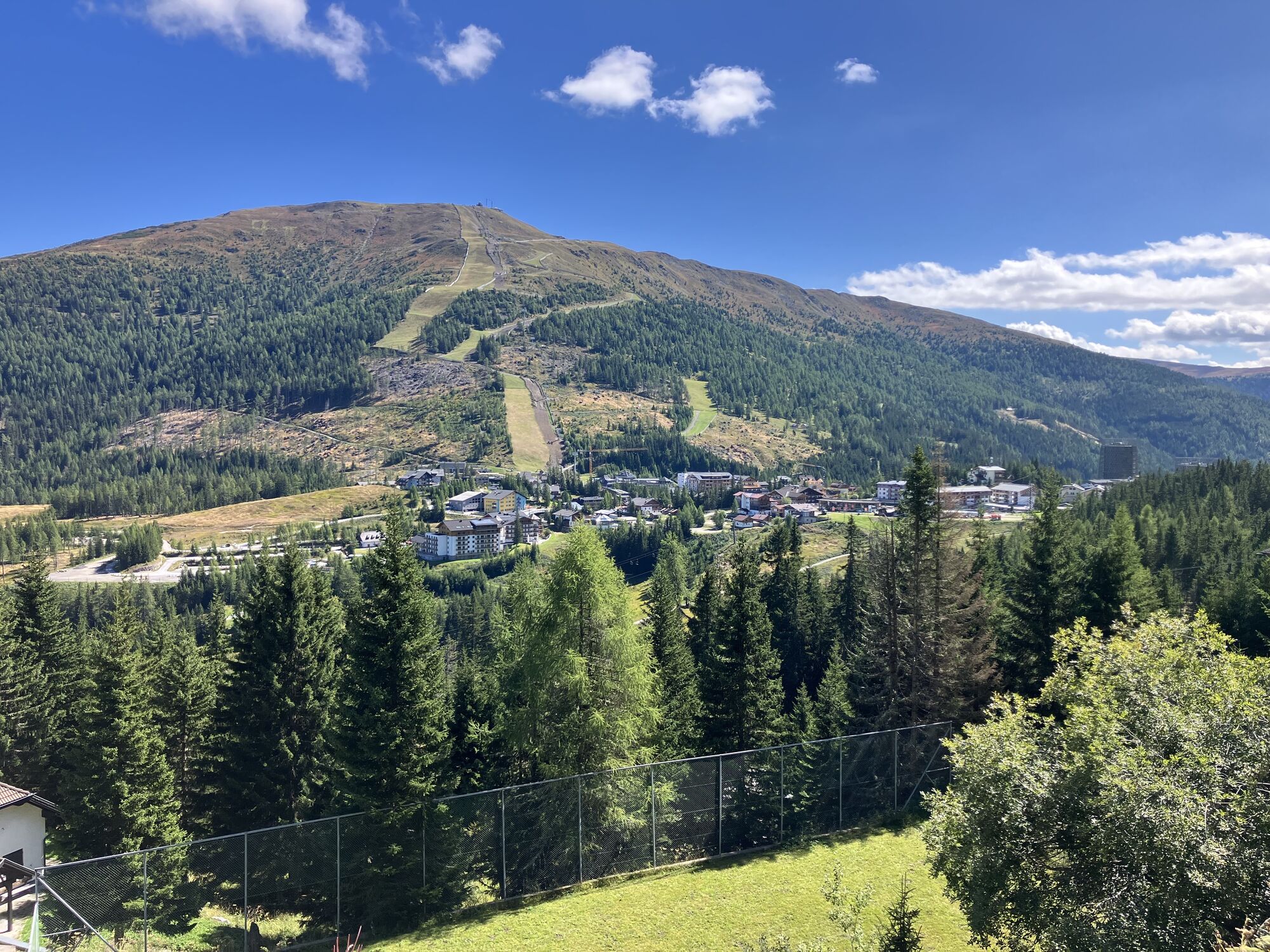
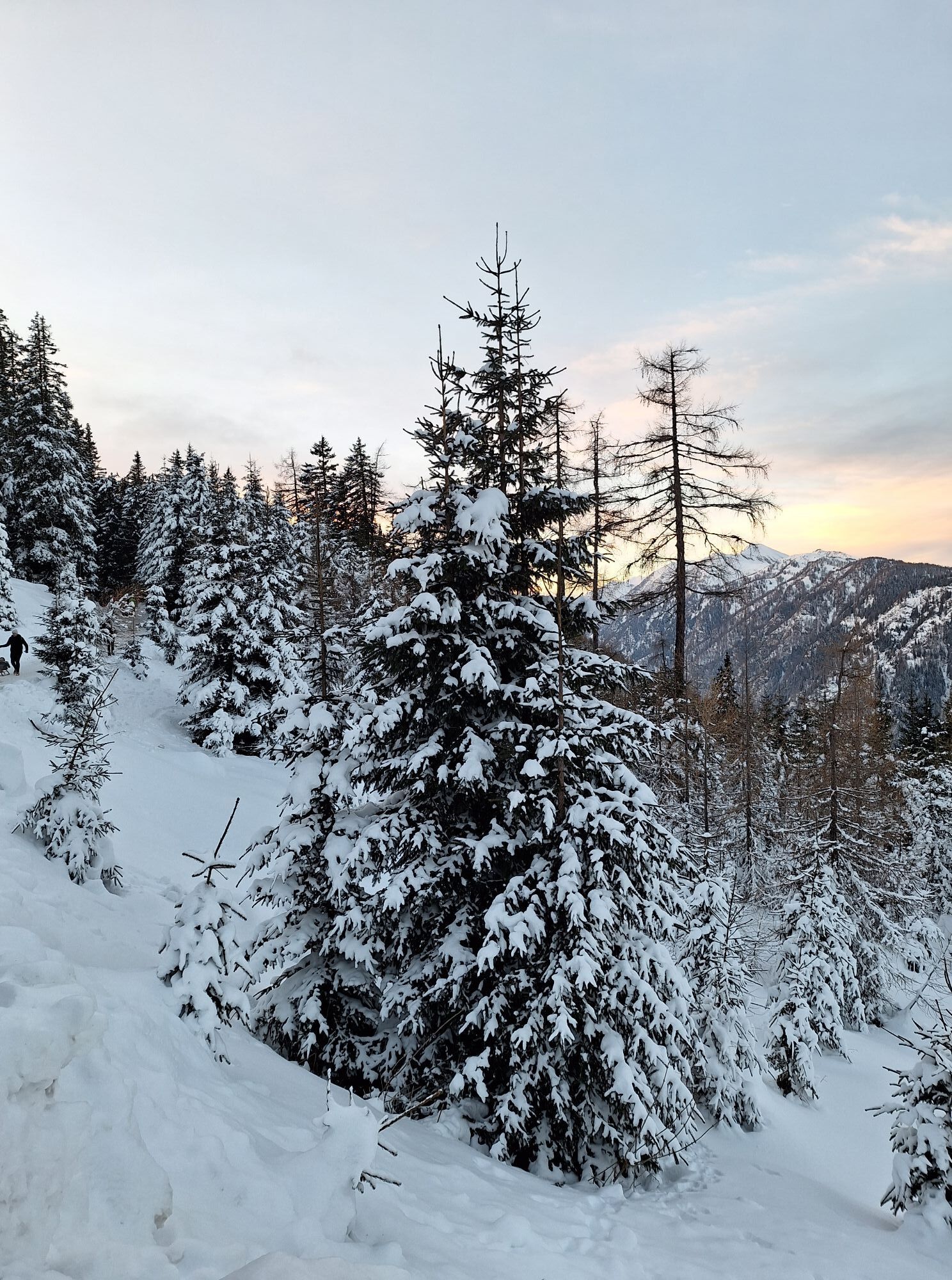
 © Christian HaßmannCreated on 13.07.2024
 © Christian HaßmannCreated on 13.07.2024
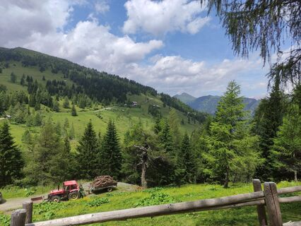 © Christian HaßmannCreated on 13.07.2024
 © Christian HaßmannCreated on 13.07.2024
 © Christian HaßmannCreated on 13.07.2024
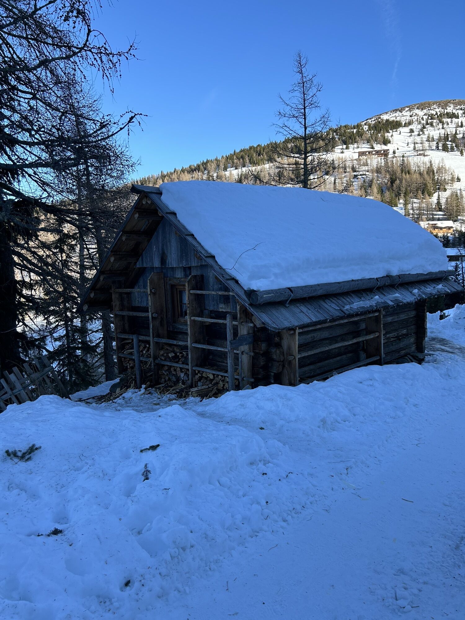
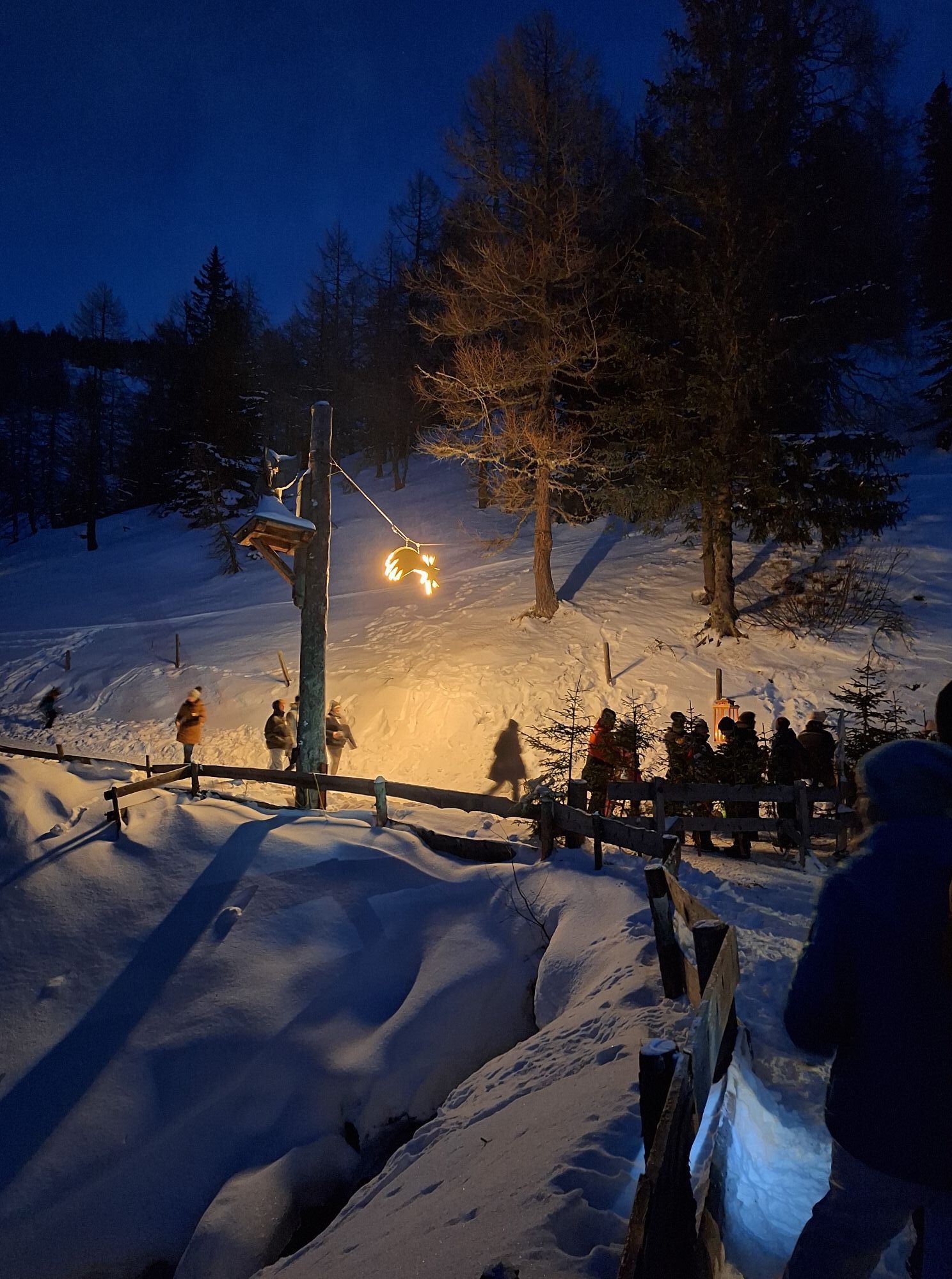
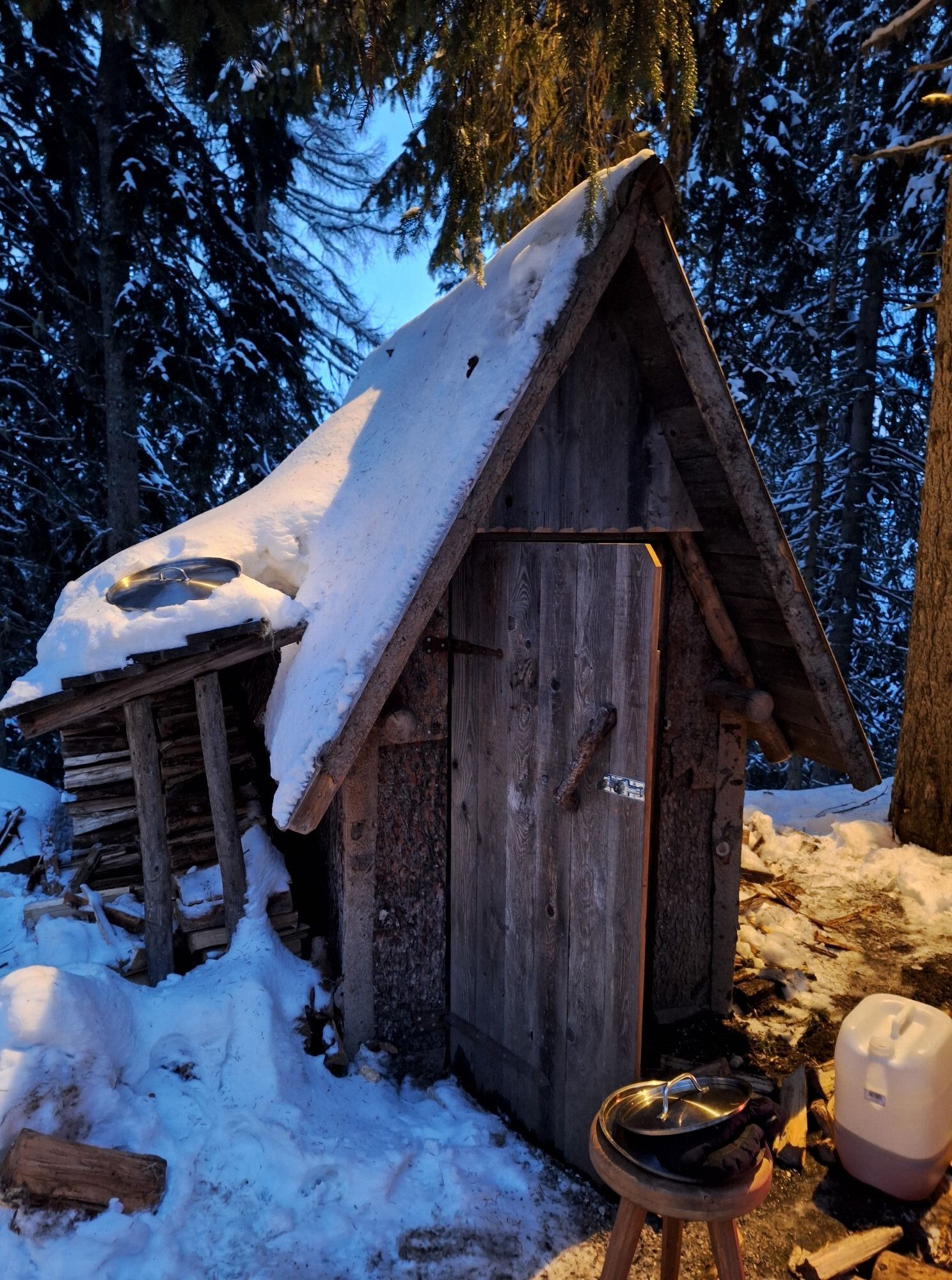
 © Dagmar HoferCreated on 09.12.2023
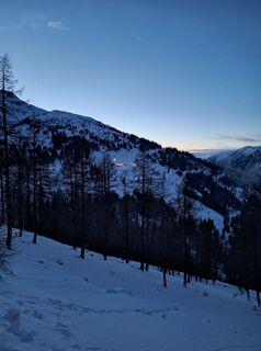 © Dagmar HoferCreated on 09.12.2023
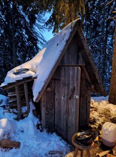 © Dagmar HoferCreated on 09.12.2023
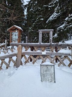 © Dagmar HoferCreated on 09.12.2023
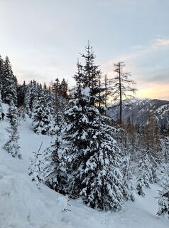 © Dagmar HoferCreated on 09.12.2023


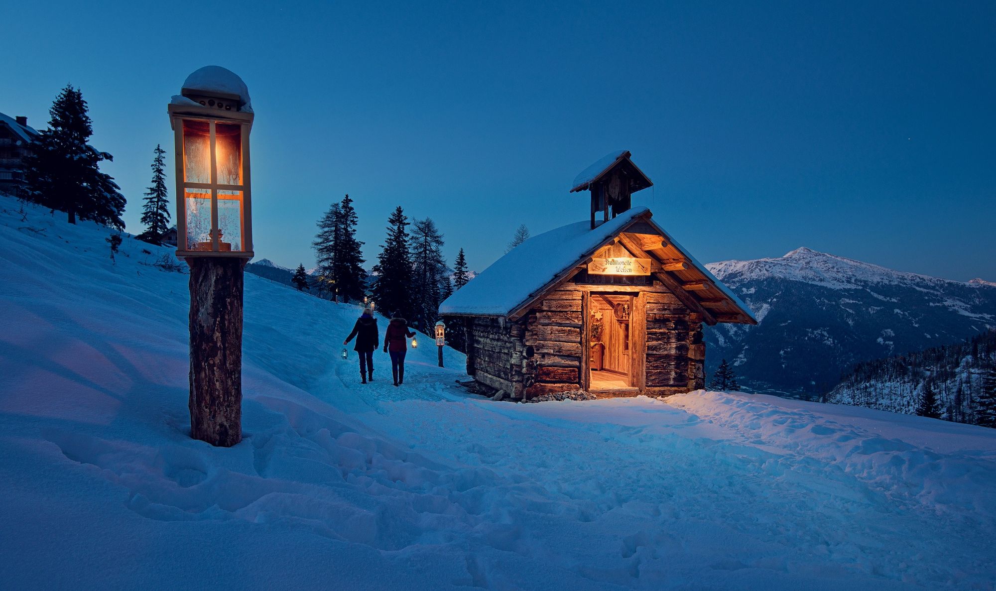
Christmas like it used to be…
High up in the mountains, amidst untouched nature, awaits you an Advent magic far from kitsch and commerce - the Katschberger Advent route! Let yourself be transported to a...
Christmas like it used to be…
High up in the mountains, amidst untouched nature, awaits you an Advent magic far from kitsch and commerce - the Katschberger Advent route! Let yourself be transported to a Christmas like back then...
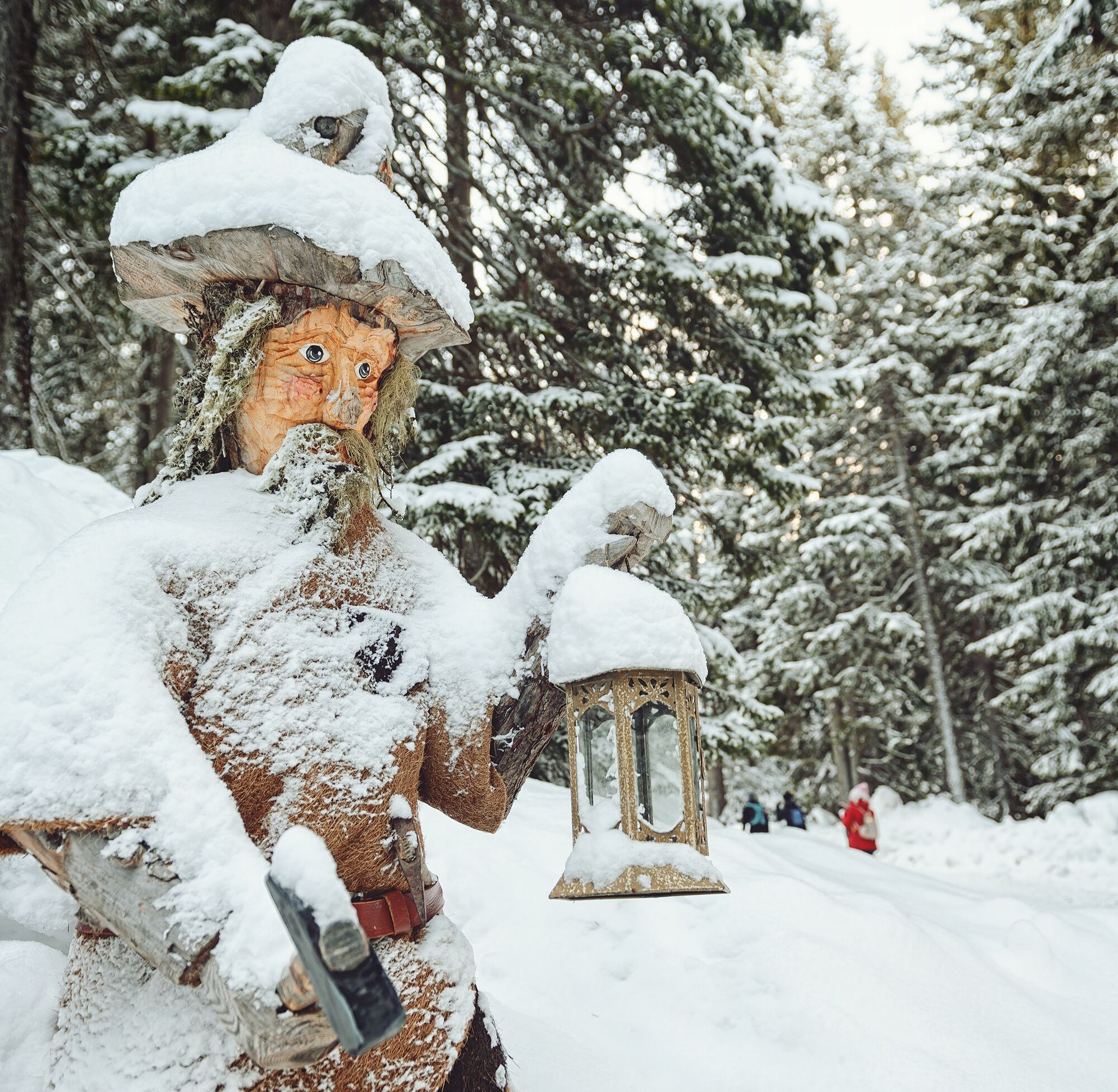
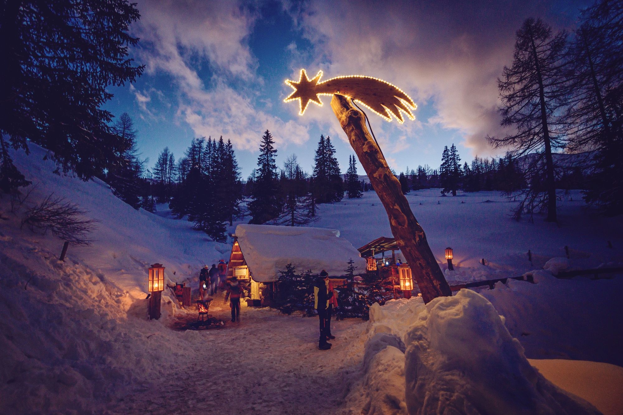
Hike through a deeply snow-covered winter landscape from one hay barn to the next. Alphorn and folk musicians musically accompany you along the path to Christmas. Listen to the most beautiful Advent songs in the singing hut and let yourself be enchanted by contemplative stories in the hut of stories. Look into many glowing children's eyes as the teddy bears are crafted with the angels. Let yourself be taken into a magical pre-Christmas time.
The countless lanterns along the path contribute to a cozy feeling by creating a gentle light in the snow. For inner warmth, there are numerous tea stations along the path.


From the Katschberghöhe, you reach the start of the Advent route via the Wichtelweg.
Park conveniently at P1 on the pass (9863 Katschberghöhe 1). Right after the entrance portal "Katschberger Adventweg" at the Katschberghöhe is the stop for the shuttle (at the village square), which can take you to the Alpengasthof Bacher for a fee (€ 3.00/person/one way) (1.2 km walking path) - no reservation required. Dogs are allowed.
Between Alpengasthof Bacher and the Pritzhütte (start of the Advent route), you can enjoy a particularly romantic experience at regular intervals by horse-drawn carriage before or after the Katschberger Advent route.
Reservation required at: +43 664 2844583 (Horse Center Katschberg).
Alternatively, you can walk this path (2.5 km, about 45 minutes on foot), where along the Wichtelweg you will find a Christmas light forest and the Christmas labyrinth.
The Advent route (2 km circular path) is only accessible on foot.
(700 m from the Pritzhütte to the souvenir hut)
good, sturdy footwear, winter clothing, possibly headlamp or flashlight
Tips for a unique & safe Advent experience at Katschberg
You will be walking several kilometers on foot in the beautifully snow-covered Gontal at over 1,750m. We therefore recommend good footwear, warm clothing and possibly a headlamp or flashlight. This year it is again possible to warm up in the huts. Therefore, the complete hike from Oberkatschberg to the end of the Advent route may be too strenuous for small children or the older generation. We therefore recommend for the little ones the path to the Pritzhütte with the exciting light forest, a Christmas labyrinth and the first tea stations. Strollers are also unsuitable for the hike. The winter hike is also very suitable for dogs. However, out of consideration for other visitors and the horses, it is important to strictly observe the leash requirement.
FROM THE NORTH:
Motorway Munich-Salzburg, A10/Tauern motorway (Tauern tunnel toll) to the St. Michael exit and then 8 km ascent to the Katschberghöhe or on the A10/Tauern motorway to the Eben/Pongau exit, then via B99 Obertauern-Tweng, St. Michael, Katschberg
FROM THE EAST:
Vienna, A2/South motorway - Semmering - Leoben - Unzmarkt - Murau - Tamsweg - St. Michael - Katschberg or Vienna, A1/West motorway to Salzburg and then as from the north
FROM THE SOUTH:
Udine - Autostrada - Tarvisio - Villach - Spittal - Gmünd - Rennweg exit - Katschberg or via the Loibl Pass - Klagenfurt - Villach - Spittal - Gmünd - Rennweg exit - Katschberg
Snow chain information is available at the following link.
P3 at the Katschberghöhe
1
all current information can be found at the following link.
If you want a steaming tea by the rustic wood stoves, you should get a high-quality Advent route thermos mug at the beginning of the path (thermo mug: € 25.00). Only in this mug is tea served for free at the tea stations.
You can also reach the Pritzhütte from the Alpengasthof Bacher by horse-drawn carriage.
Cost: € 26.00 per adult and € 13.00 per child (3-14.9 years) round trip.
Horse-drawn carriage rides are only possible with prior reservation (info@pferdezentrum-katschberg.at or by phone at +43 664 28 44 583)
Webcams of the tour
Sonnenbahn Bergstation
Tschaneck
Silverjet 2 Bergstation
Katschberghöhe Aineck
Katschberghöhe Aineck
Katschberghöhe Aineck
Katschberghöhe Aineck
Katschberghöhe Aineck
Zentrum Katschberghöhe
Zentrum Katschberghöhe
Zentrum Katschberghöhe
Zentrum Katschberghöhe
Silverjet Katschberg
Zentrum Katschberghöhe
Zentrum Katschberghöhe
Boutique Apartments Herbert
Boutique Apartments Herbert
Boutique Apartments Herbert
Boutique Apartments Herbert
Boutique Apartments Herbert
Boutique Apartments Herbert
Tschaneckbahn
Tschaneckbahn
Tschaneckbahn
Tschaneckbahn
Tschaneckbahn
Popular tours in the neighbourhood
- 4,6
19, 97 Herzerl trail to the Gamskogelhütte
lightThematic route3,83 km - 4,9
Family bike ride along the bike path R9B Gmünd - Maltatal
mediumCycling33,8 km - 4,3
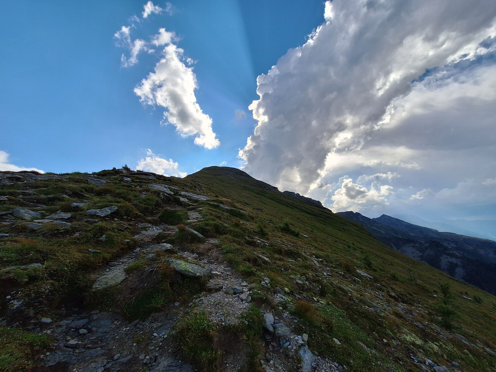
Hike Frido Kordon Hut - Stubeck summit (2,370 m)
mediumHiking8,11 km - 3,9
Schlögelbergrundweg Nr. 82 (Wasserweg Leisnitz)
mediumHiking5,15 km - 3,4
97 Mountain tour to Kareck
mediumHiking14,0 km - 4,6
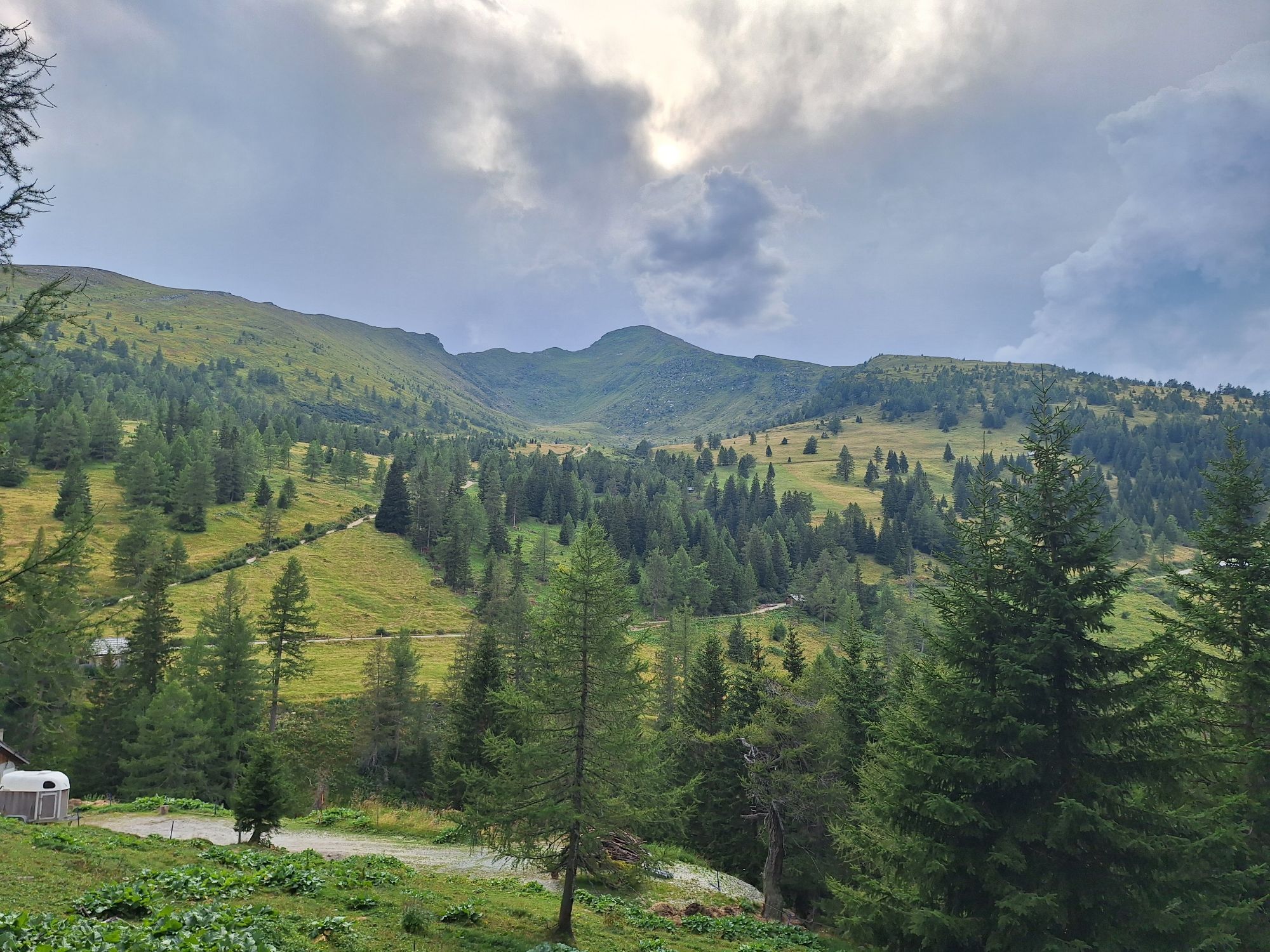
Long hike round Katschberg mountain via Gontal (18/19/20)
Hiking9,33 km - 4,1
Pritzhütte
lightHiking3,38 km - 3,1
Ski tour to Stubeck (2,370 m) near Gmünd
mediumSki tour8,11 km - 4,4
Tour Pöllatal zur Kochlöffelhütte
lightHiking11,0 km - 4,5
Rundweg Aineck
mediumHiking14,1 km
Hiking & Tracking


Don't miss out on offers and inspiration for your next holiday
Your e-mail address has been added to the mailing list.