Spittal an der Drau - Filialkirche hl. Petrus - Pfarrkirche Döbriach - Lug-ins-Land
medium
Navigate
Navigate
Get this tour on your mobile
Spittal an der Drau - Filialkirche hl. Petrus - Pfarrkirche Döbriach - Lug-ins-Land
medium
Cycling
45.51
km
Scan the QR code and start navigation in the bergfex app

Hiking & Tracking


Distance
45.51
km
Duration
02:56
h
Ascent
1,066
m
Sea level
522 -
1,282
m
Track download
Spittal an der Drau - Filialkirche hl. Petrus - Pfarrkirche Döbriach - Lug-ins-Land
medium
Cycling
45.51
km


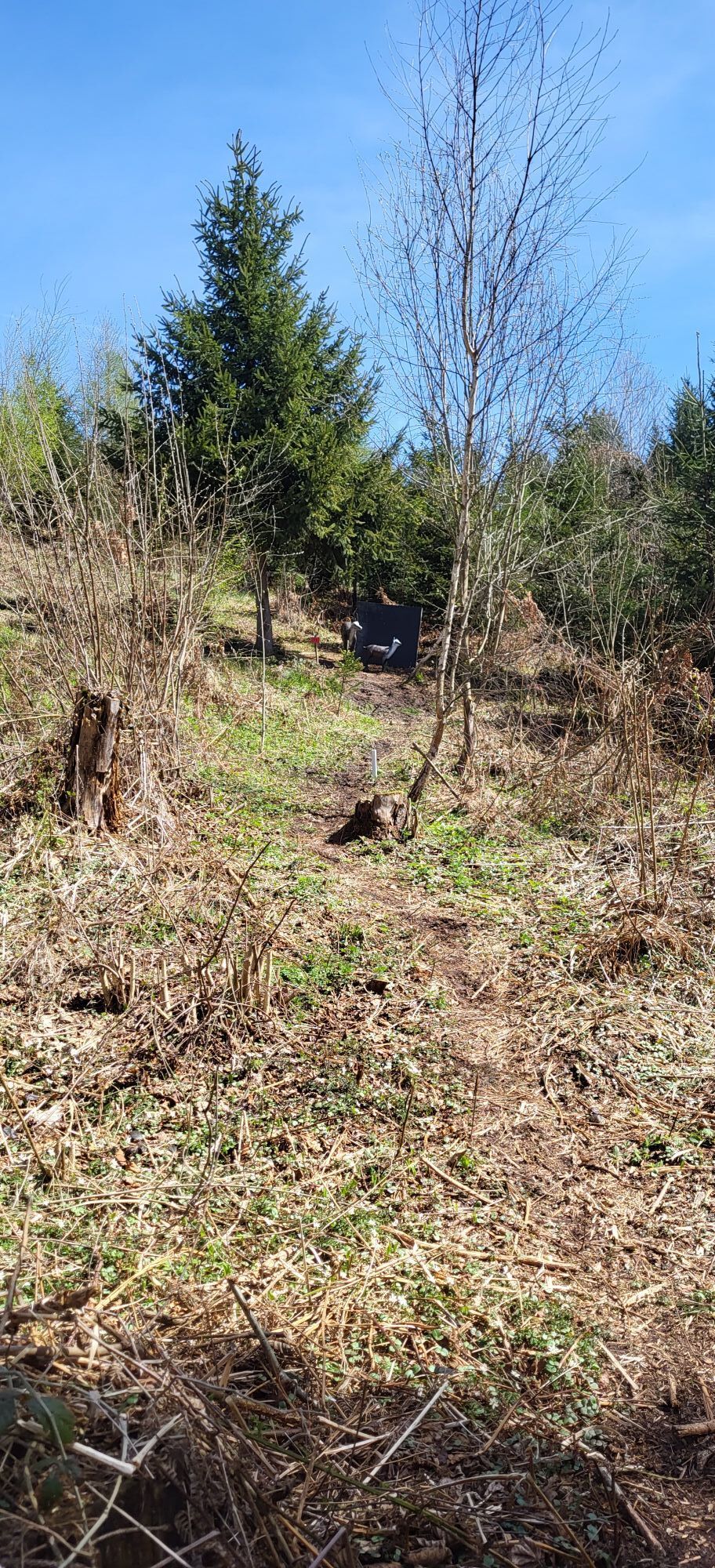
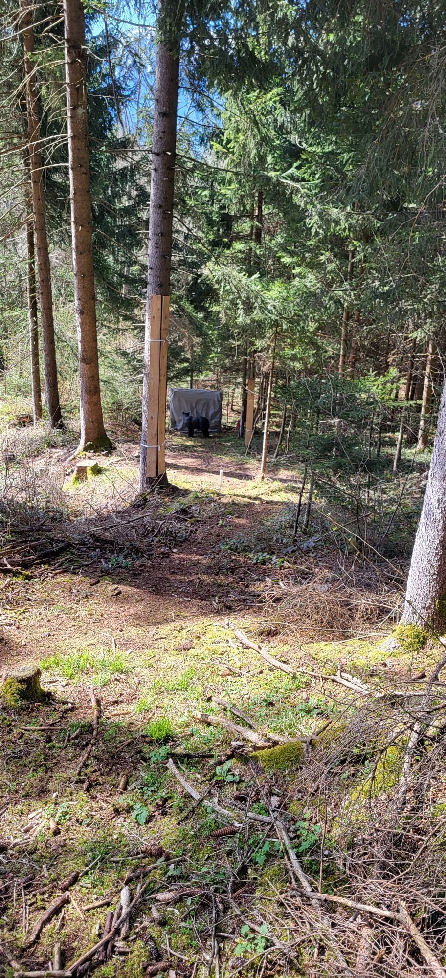
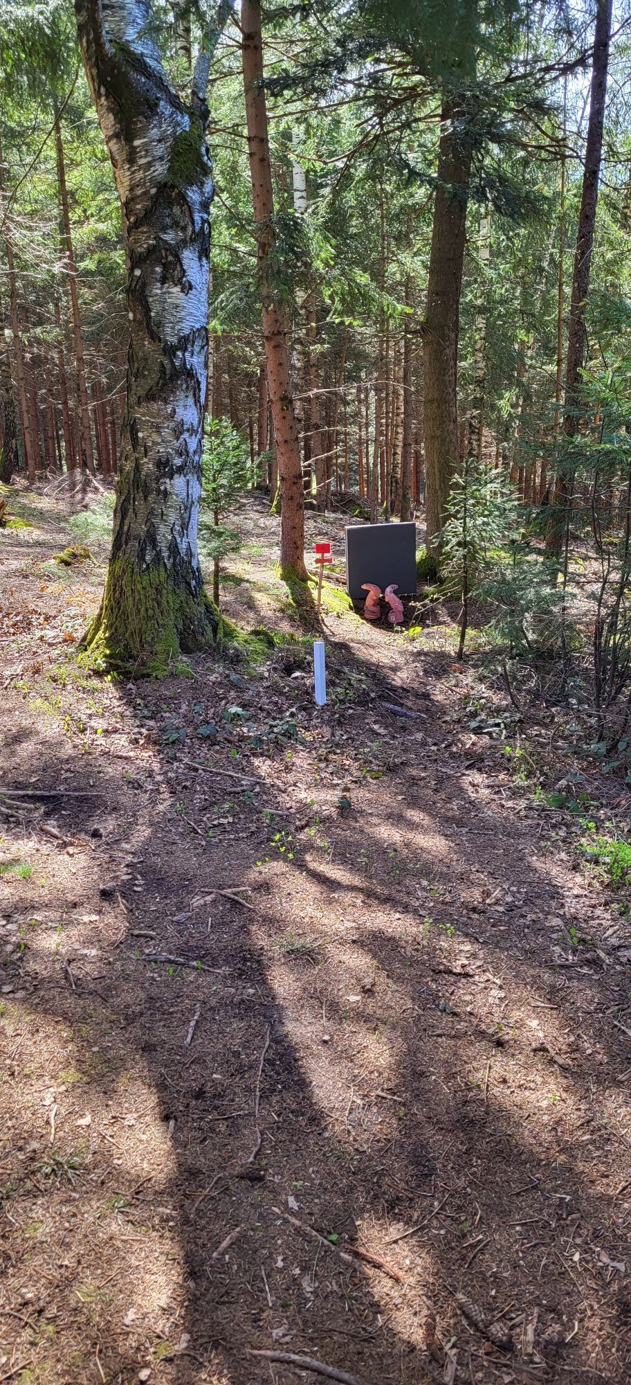
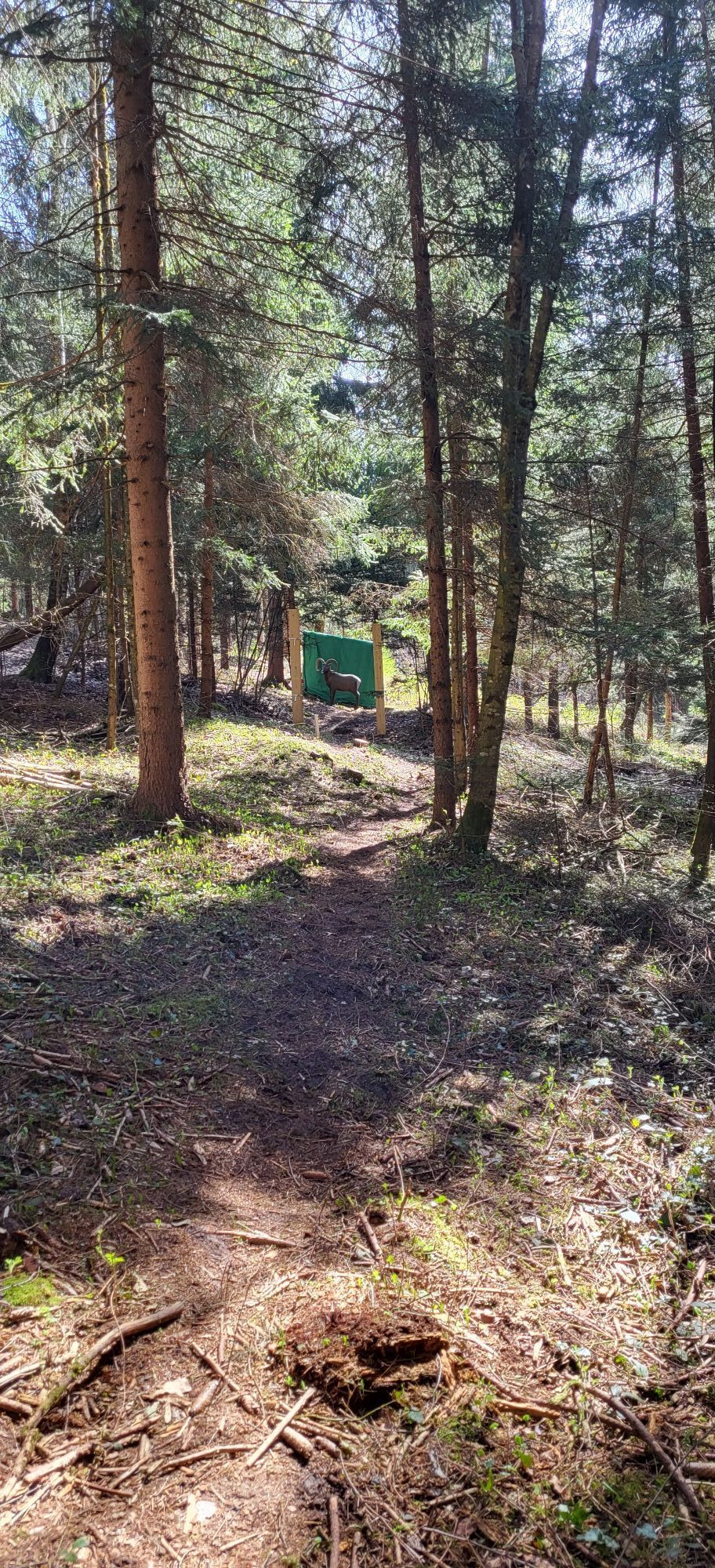
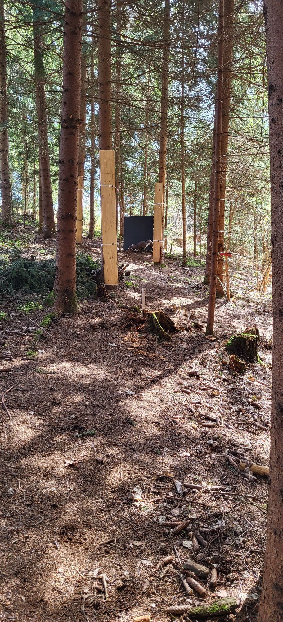
Photos from our users
 © Heinz BlümelCreated on 27.08.2025
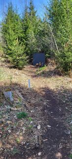
 © Valentin SchusterCreated on 06.04.2024
 © Valentin SchusterCreated on 06.04.2024
 © Valentin SchusterCreated on 06.04.2024
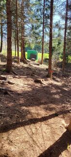 © Valentin SchusterCreated on 06.04.2024
 © Valentin SchusterCreated on 06.04.2024
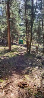 © Valentin SchusterCreated on 06.04.2024
 © Valentin SchusterCreated on 06.04.2024


Route
Spittal an der Drau
(560 m)
City
0.0 km
Filialkirche St. Jakobus
(614 m)
Place of worship
5.2 km
Filialkirche hl. Petrus
(755 m)
Place of worship
7.2 km
Laubendorf
(814 m)
Settlement
8.9 km
Lammersdorf
(874 m)
Settlement
18.0 km
Pfarrkirche Döbriach
(620 m)
Place of worship
23.9 km
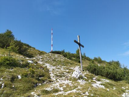
Lug-ins-Land
(816 m)
Summit
35.9 km
Route
Spittal an der Drau - Filialkirche hl. Petrus - Pfarrkirche Döbriach - Lug-ins-Land
medium
Cycling
45.51
km
Spittal an der Drau
(560 m)
City
0.0 km
Seebach
(589 m)
Village
3.1 km
Seespitz
(597 m)
Neighbourhood
4.3 km
Seeboden
(618 m)
City
4.7 km
Filialkirche St. Jakobus
(614 m)
Place of worship
5.2 km
Tangerner Wirt
(747 m)
Restaurant
6.9 km
Tangern
(748 m)
Settlement
7.1 km
Filialkirche hl. Petrus
(755 m)
Place of worship
7.2 km
Gössering
(795 m)
Settlement
8.2 km
Ristorante Pizzeria-Cafe Bella Vista
(807 m)
Restaurant
8.4 km
Laubendorf
(814 m)
Settlement
8.9 km
Hohengaß
(904 m)
Settlement
10.3 km
Öttern
(990 m)
Settlement
11.0 km
Zur Schönen Aussicht
(997 m)
Restaurant
11.3 km
Herzogfall
(1,001 m)
Waterfall
12.4 km
Lammersdorf
(874 m)
Settlement
18.0 km
Hotel Lammersdorf
(857 m)
Restaurant
18.1 km
Görtschach
(870 m)
Settlement
19.1 km
Sappl
(812 m)
Village
20.1 km
Matzelsdorf
(849 m)
Village
21.5 km
Starfach
(691 m)
Village
22.3 km
Pfarrkirche Döbriach
(620 m)
Place of worship
23.9 km
Post Scriptum
(606 m)
Restaurant
24.2 km
Döbriach
(604 m)
Village
24.6 km
Großegg
(776 m)
Village
31.7 km
Gasthof Laggerhof
(618 m)
Restaurant
31.8 km
Lug-ins-Land
(816 m)
Summit
35.9 km
Winkl
(756 m)
Village
37.1 km
Aichforst
(572 m)
Village
38.4 km
Molzbichl
(527 m)
Village
38.8 km
Buschenschank Egger
(526 m)
Restaurant
40.6 km
Sankt Peter
(530 m)
Village
40.8 km
Tangern
(528 m)
Village
41.9 km
Spittal an der Drau
(560 m)
City
45.4 km
No reviews yet
Popular tours in the neighbourhood
- 4.7
Lammersdorfer Hütte, Granattor Runde
lightHiking9.85 km - 4.7
Millstätter See cycle track
mediumCycling27.7 km - 4.5
Drei Hütten Tour - Tour to three huts | nock/bike Tour 48
heavyMountainbike26.5 km - 4.8
Enzian-Granatsteig & Almbrunnsteig
lightHiking8 km - 4.2
Goldeck Rundwanderung
lightHiking7.40 km - 4.4
Von der Lammersdorferhütte zum Granattor
lightHiking9.57 km - 5.0
Bergfried Hütte, Stoder 2433, Gmeineck 2592
heavyHiking8.23 km - 4.8
Nockhöhensteig
mediumHiking7.67 km Winterwanderung zum Goldeck
lightWinter hiking5.43 km- 4.6
Tschiernock | Runde ab Hansbauerhütte, 8. Juni 2019 Seeboden, Österreich
lightHiking13.4 km
Hiking & Tracking

Over 550.000 tour suggestions, detailed maps and an intuitive route planner make the app a must-have for all nature enthusiasts.

Don't miss out on offers and inspiration for your next holiday
Subscribe to the newsletter
Error
An error has occurred. Please try again.Thank you for your registration
Your e-mail address has been added to the mailing list.
Tours throughout Europe
Austria Switzerland Germany Italy Slovenia France Netherlands Belgium Poland Liechtenstein Czechia Slovakia Spain Croatia Bosnia and Herzegovina Luxembourg Andorra Portugal Iceland United Kingdom Ireland Greece Albania North Macedonia Malta Norway Montenegro Moldova Kosovo Hungary San Marino Romania Estonia Latvia Belarus Cyprus Lithuania Serbia Bulgaria Monaco Denmark Sweden Finland