


Level of difficulty: 2


This route is ideal for 'getting into cycling' and takes us to the market town of Rosegg, which is attractively nestled in a meander of the Drau river at the beginning of the Rosental valley. Despite the...
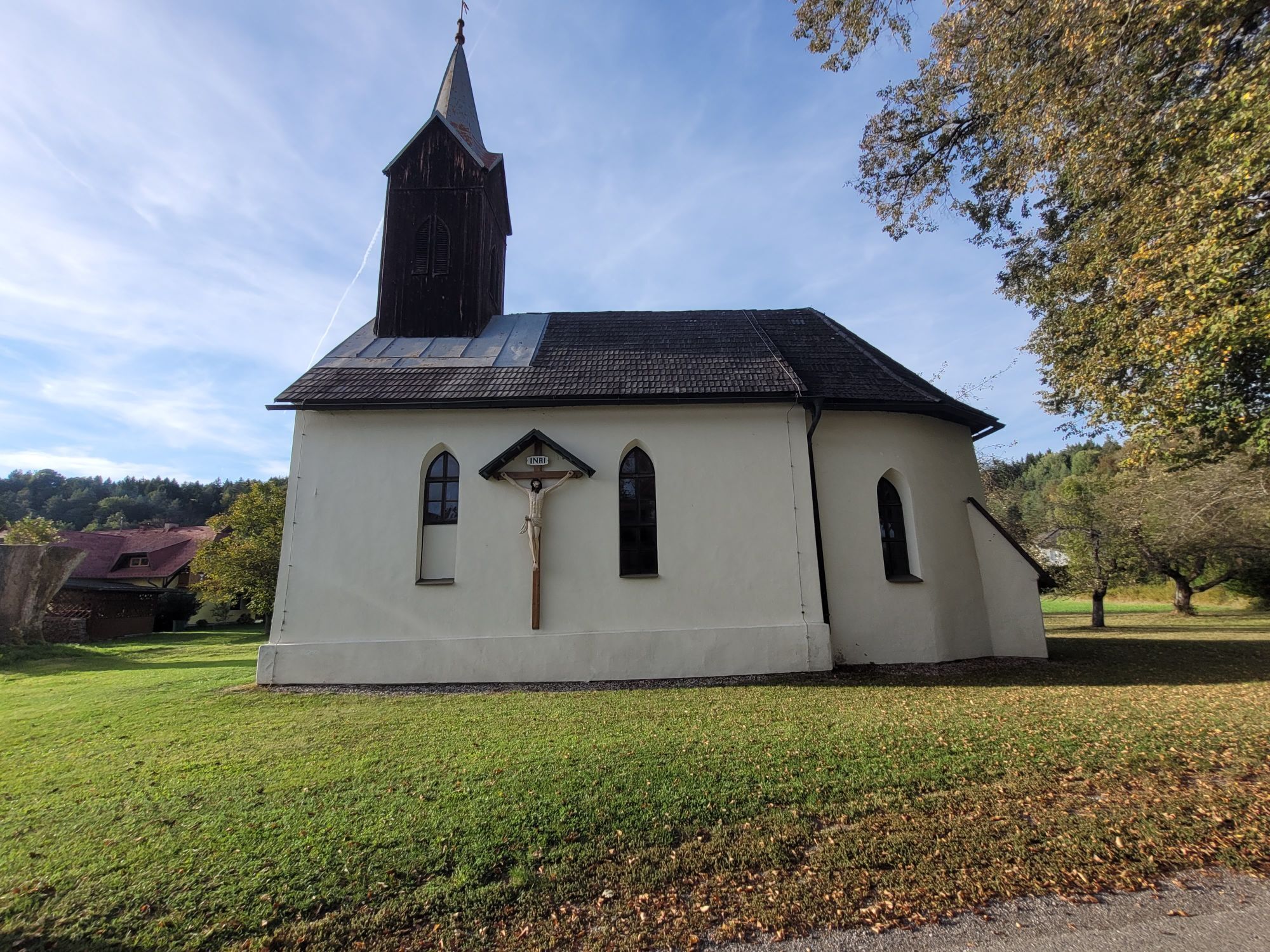
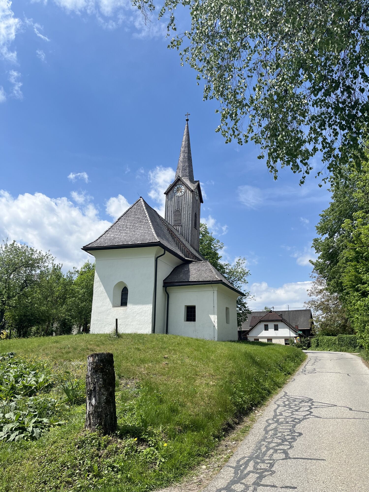
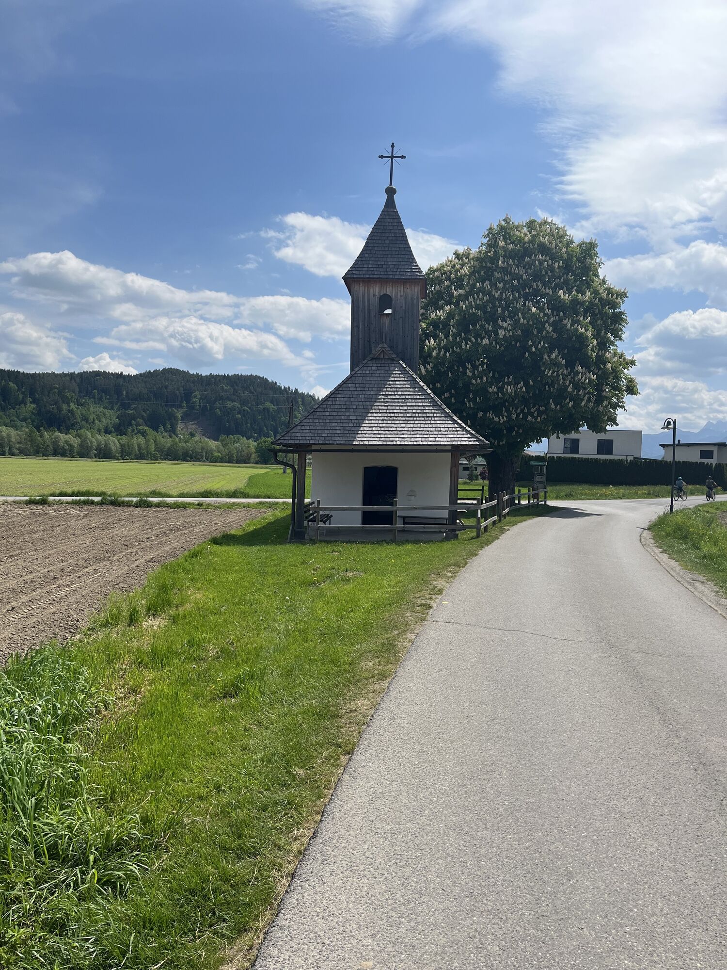
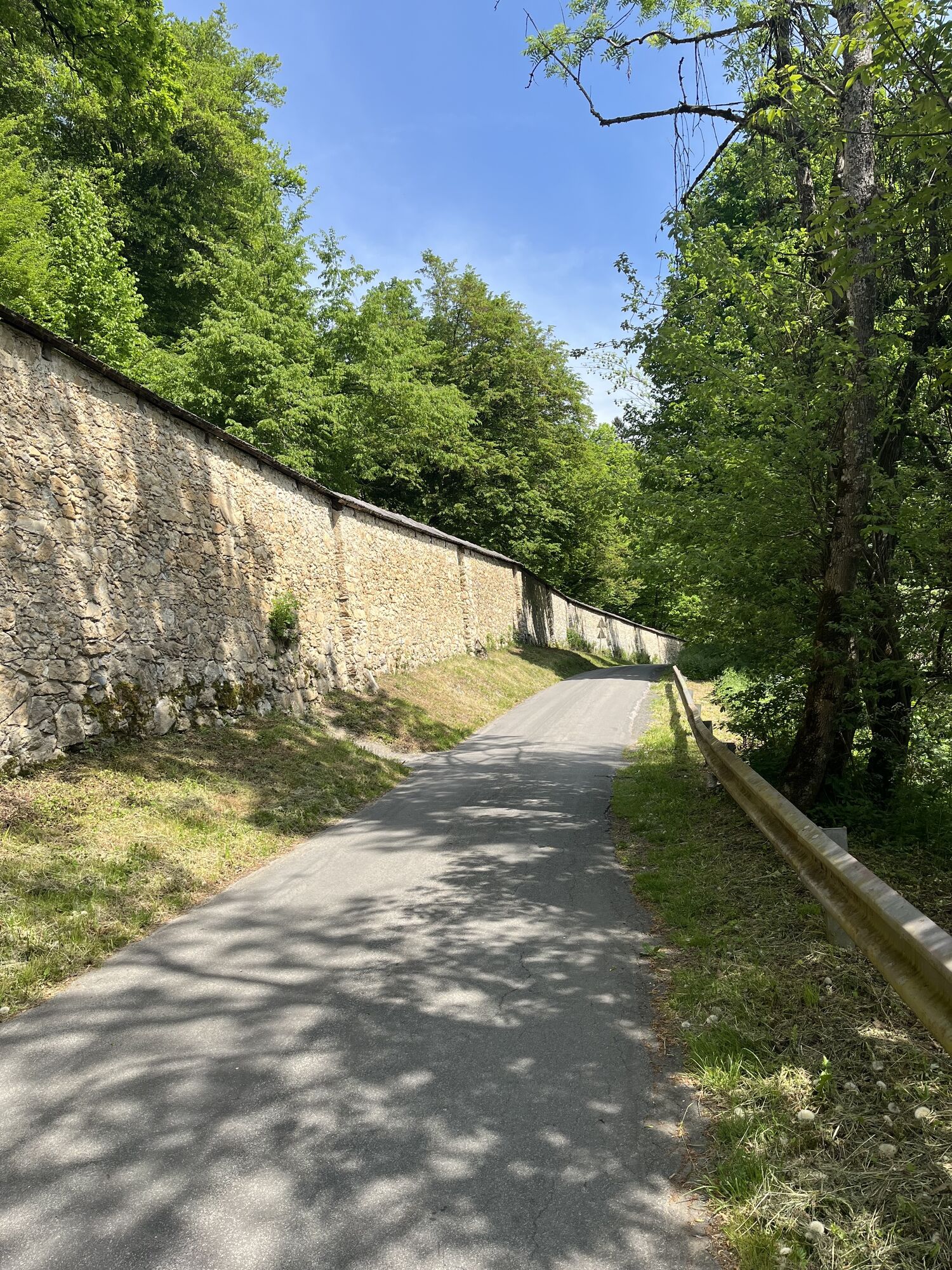
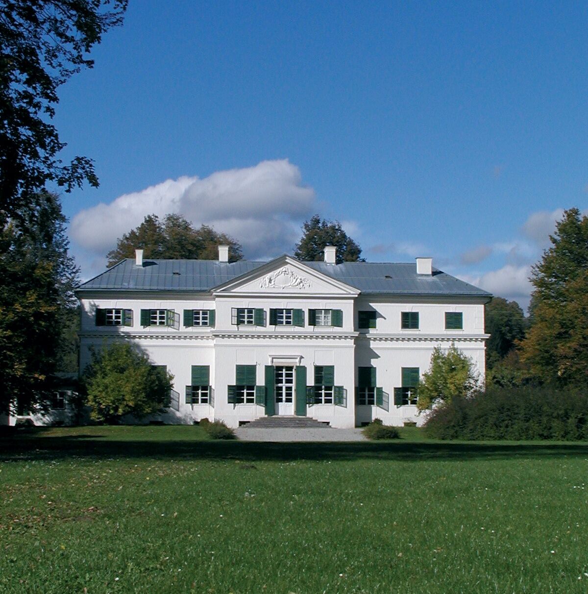
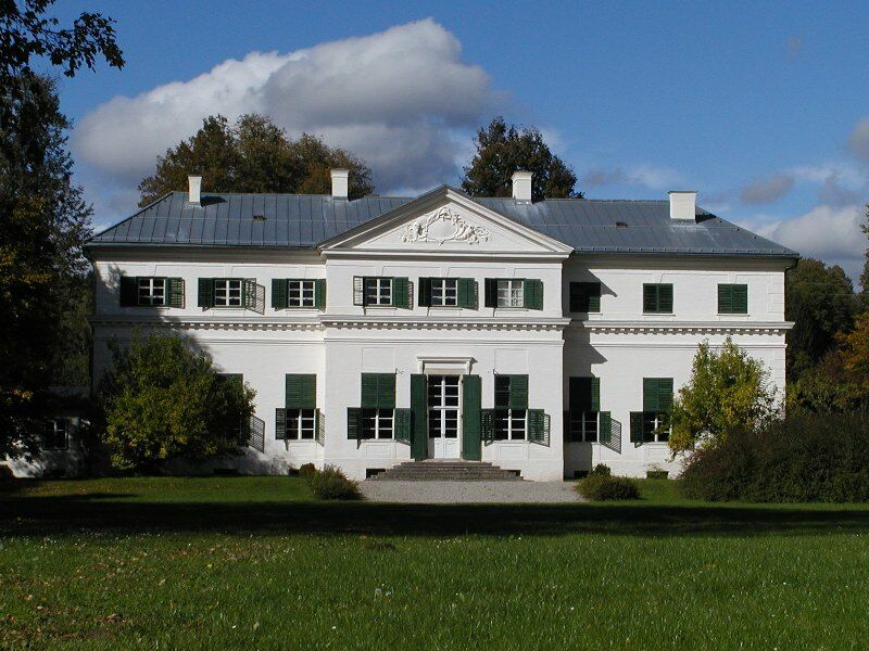
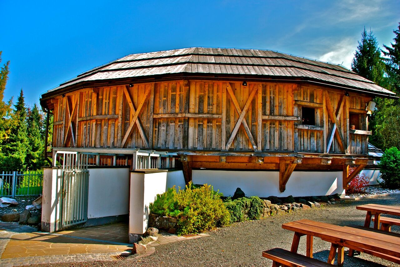
This route is ideal for 'getting into cycling' and takes us to the market town of Rosegg, which is attractively nestled in a meander of the Drau river at the beginning of the Rosental valley. Despite the short riding time, you should take your time and plan a visit to the wildlife park in Rosegg or the Celtic world in Frög. Other sights: Rosegg Castle, the labyrinth, the ruins of Altrosegg castle
Velden – Selpritsch – Rosegg – Frög – Rosegg – Bergl – Lind ob Velden – Velden
Yes
Bicycle helmet. No special equipment required.
On the A2 or B83 to Velden
Arrival by bus and train
Free parking at the ice rink in Velden, Köstenberger Straße 3
2
Webcams of the tour
Popular tours in the neighbourhood
- 4,2
Lake Wörthersee Round Trip (Wörthersee - Keutschacher Seental)
mediumCycling48,2 km - 3,9
Lake Wörthersee Circular Route
mediumCycling41,2 km - 3,6
Forstsee Runde
lightHiking4,26 km - 4,6
Rotschitza Klamm Klettersteig B/C
mediumVia ferrata3,73 km - 4,3
Pyramidenkogel path Maria Wörth
mediumHiking10,8 km - 3,9
Faakersee Rundweg
lightHiking9,55 km - 4,3
Slow Trail Brahmsweg
mediumHiking5,86 km - 3,3
Around Lake Ossiach
mediumCycling68,7 km - 3,8
Lake Ossiach cycle path - R2 and R2A
mediumCycling28,2 km - 5,0
Pyramidenkogelweg Keutschach
mediumHiking13,8 km

Hiking & Tracking


Don't miss out on offers and inspiration for your next holiday
Your e-mail address has been added to the mailing list.