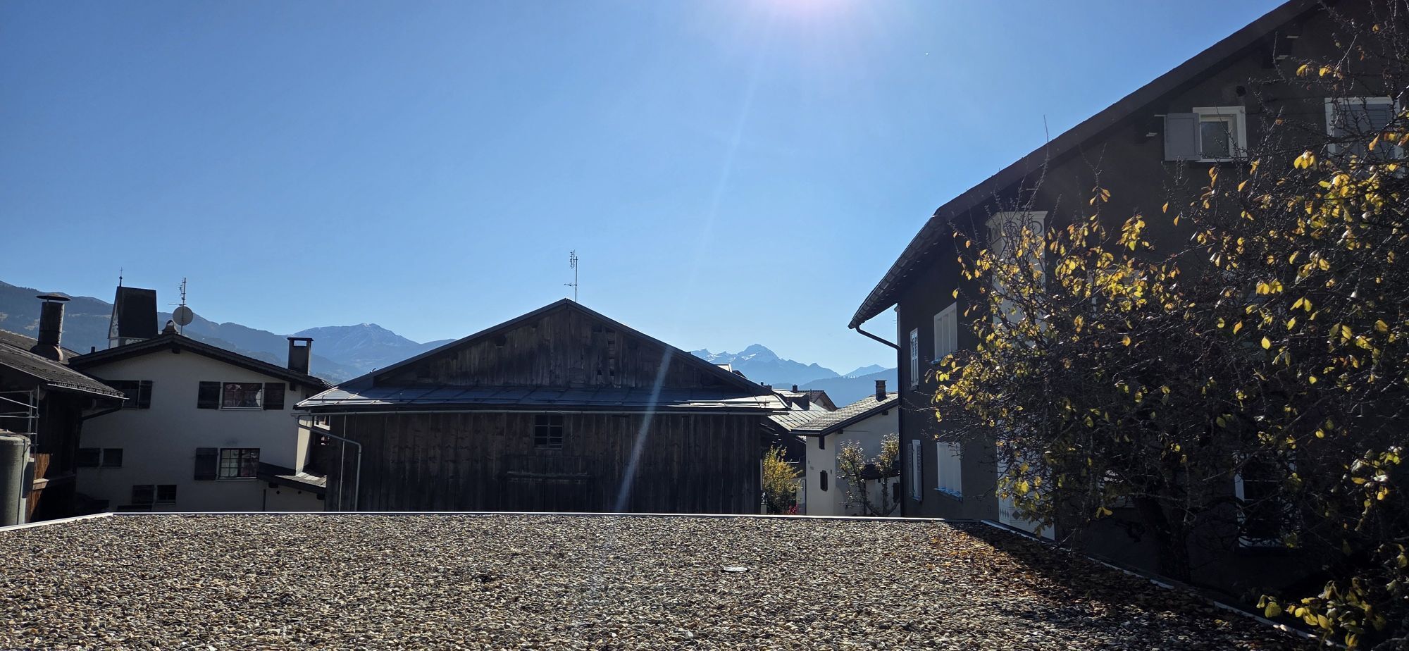
Herz-Jesu-Kirche - Alp Dadens - Crest da Tiarms - Falera
heavy
Navigate
Navigate
Get this tour on your mobile
Herz-Jesu-Kirche - Alp Dadens - Crest da Tiarms - Falera
heavy
Hiking
19.13
km
Scan the QR code and start navigation in the bergfex app

Hiking & Tracking


Distance
19.13
km
Duration
06:16
h
Ascent
1,302
m
Sea level
1,199 -
2,396
m
Track download
Herz-Jesu-Kirche - Alp Dadens - Crest da Tiarms - Falera
heavy
Hiking
19.13
km


Route
Herz-Jesu-Kirche
(1,215 m)
Place of worship
0.3 km
Ustria Encarna
(1,215 m)
Restaurant
0.4 km
Alp Dadens sut
(1,720 m)
Corridor/terrain
4.3 km
Alp Dadens
(1,739 m)
Shelter
4.4 km
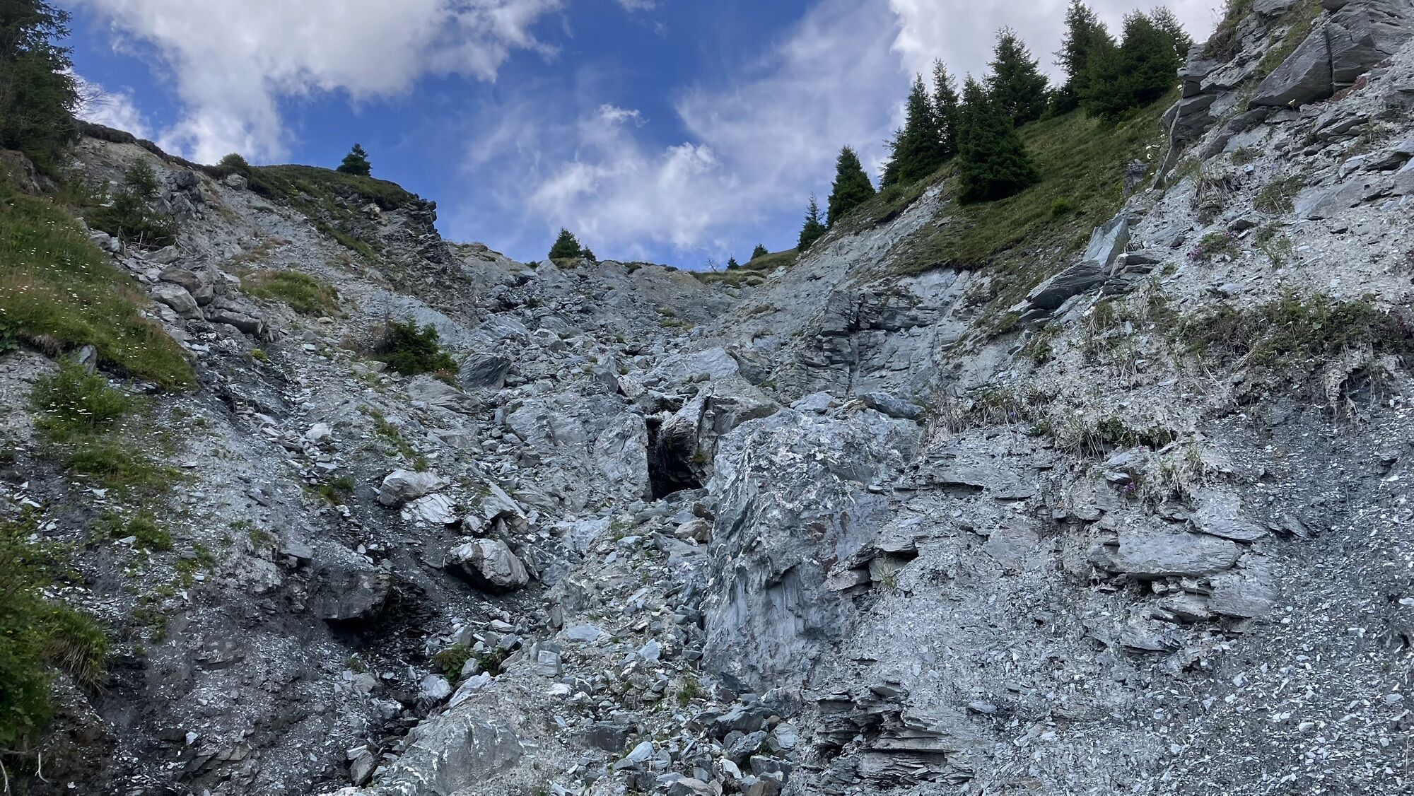
Crest da Tiarms
(2,412 m)
Summit
9.5 km
Alp Dadens
(1,739 m)
Shelter
14.7 km
Herz-Jesu-Kirche
(1,215 m)
Place of worship
18.7 km
Route
Herz-Jesu-Kirche - Alp Dadens - Crest da Tiarms - Falera
heavy
Hiking
19.13
km
Herz-Jesu-Kirche
(1,215 m)
Place of worship
0.3 km
Falera
(1,213 m)
Village
0.4 km
Ustria Encarna
(1,215 m)
Restaurant
0.4 km
Restaurant Casa Seeli
(1,215 m)
Restaurant
0.5 km
Alp Dadens sut
(1,720 m)
Corridor/terrain
4.3 km
Alp Dadens
(1,739 m)
Shelter
4.4 km
Alp da Schnaus
(2,054 m)
Corridor/terrain
7.4 km
Crest da Tiarms
(2,412 m)
Summit
9.5 km
Alp da Schnaus
(2,054 m)
Corridor/terrain
11.7 km
Alp Dadens
(1,739 m)
Shelter
14.7 km
Alp Dadens sut
(1,720 m)
Corridor/terrain
14.8 km
Restaurant Casa Seeli
(1,215 m)
Restaurant
18.6 km
Ustria Encarna
(1,215 m)
Restaurant
18.7 km
Herz-Jesu-Kirche
(1,215 m)
Place of worship
18.7 km
Falera
(1,213 m)
Village
18.8 km
No reviews yet
Popular tours in the neighbourhood
-
4.5
4-lake hike
mediumHiking 12.8 km -
4.7
The riverside trail: Trutg dil Flem
mediumThematic route 13.5 km -
4.7
Rhine Gorge Hike: Senda Ruinaulta (659)
lightHiking 9.39 km -
Piz Fess 2880m, der Stolze
heavyHiking 12.8 km -
4.8
Rheinschlucht: From Ilanz to Versam into the heart of the Rheinschlucht
mediumHiking 11.4 km -
5.0
High valley Val Frisal
mediumHiking 11.3 km -
4.3
Round trip hike Falera - Curnius - Alp Dadens - Falera
mediumHiking 11.4 km -
5.0
Staderas - Conn - Rhein Gorge Ruinaulta-Staderas
mediumHiking 19.8 km -
5.0
Rhine Gorge Circular Hike
mediumHiking 11.4 km -
5.0
Hiking route Suspension Bridge Val da Tersnaus
mediumHiking 3.24 km
Hiking & Tracking

Over 550.000 tour suggestions, detailed maps and an intuitive route planner make the app a must-have for all nature enthusiasts.

Don't miss out on offers and inspiration for your next holiday
Subscribe to the newsletter
Error
An error has occurred. Please try again.
Thank you for your registration
Your e-mail address has been added to the mailing list.
Tours throughout Europe
Austria
Switzerland
Germany
Italy
Slovenia
France
Netherlands
Belgium
Poland
Liechtenstein
Czechia
Slovakia
Spain
Croatia
Bosnia and Herzegovina
Luxembourg
Andorra
Portugal
Iceland
United Kingdom
Ireland
Greece
Albania
North Macedonia
Malta
Norway
Montenegro
Moldova
Kosovo
Hungary
San Marino
Romania
Estonia
Latvia
Belarus
Cyprus
Lithuania
Serbia
Bulgaria
Monaco
Denmark
Sweden
Finland