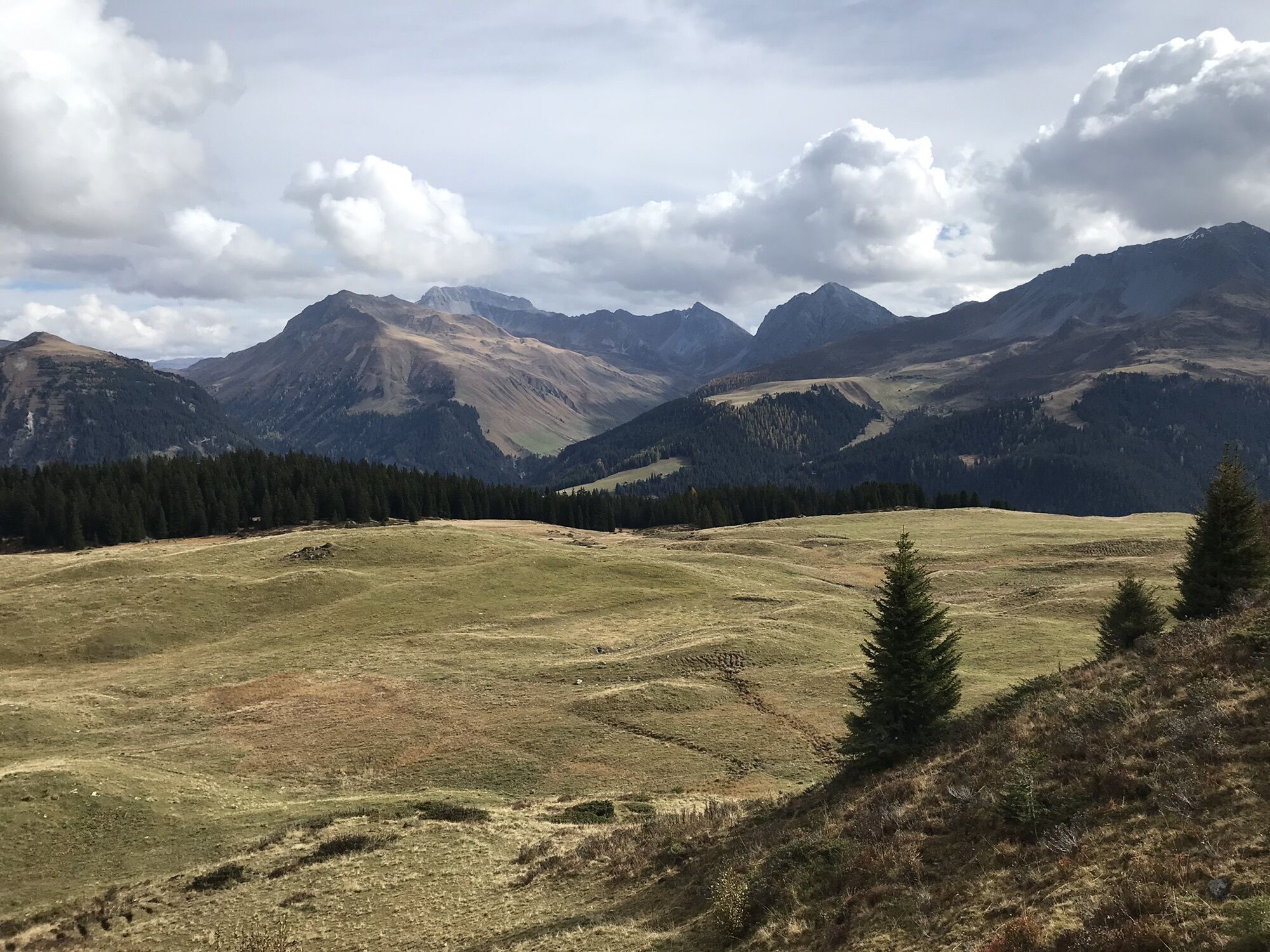
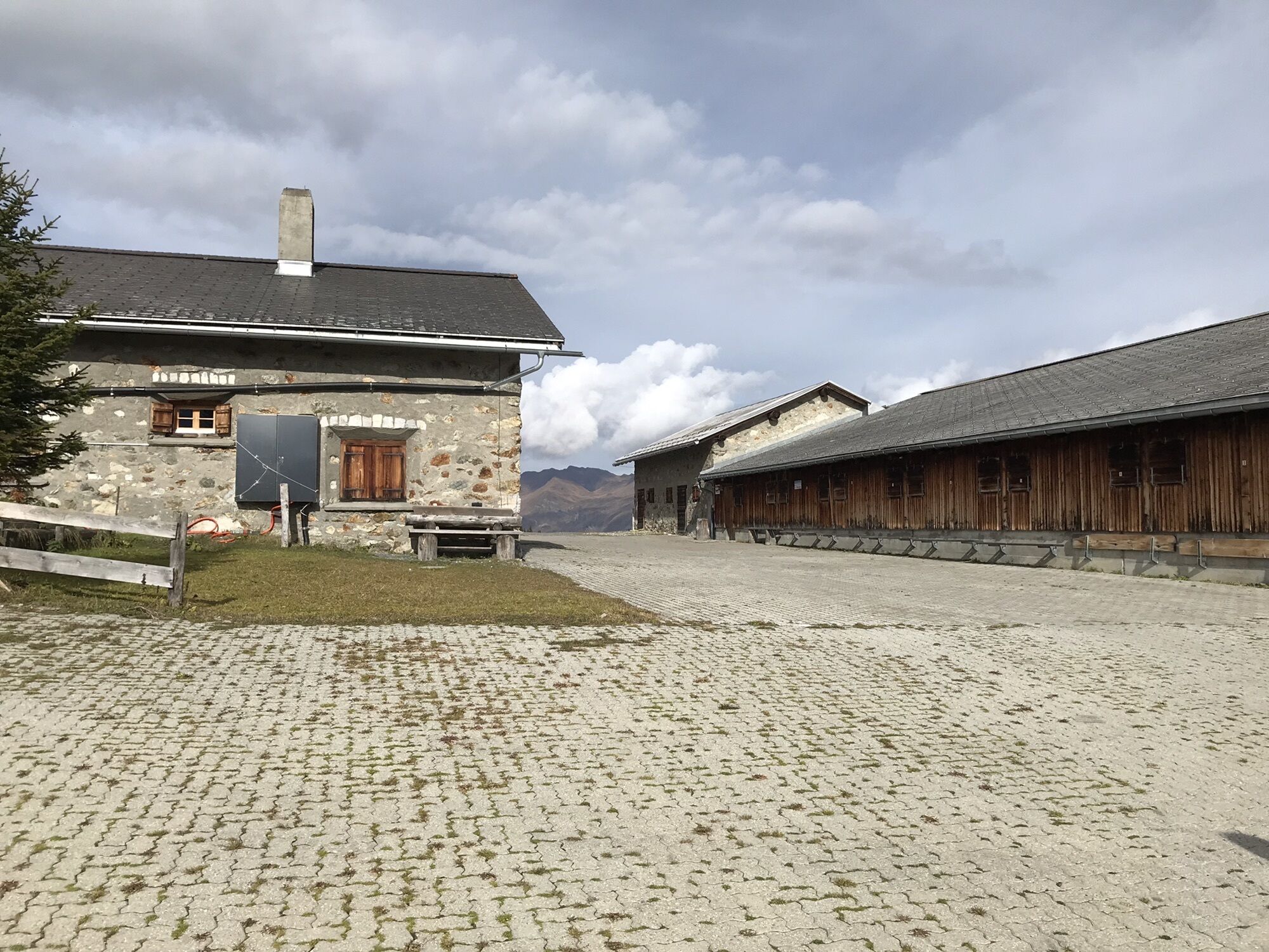
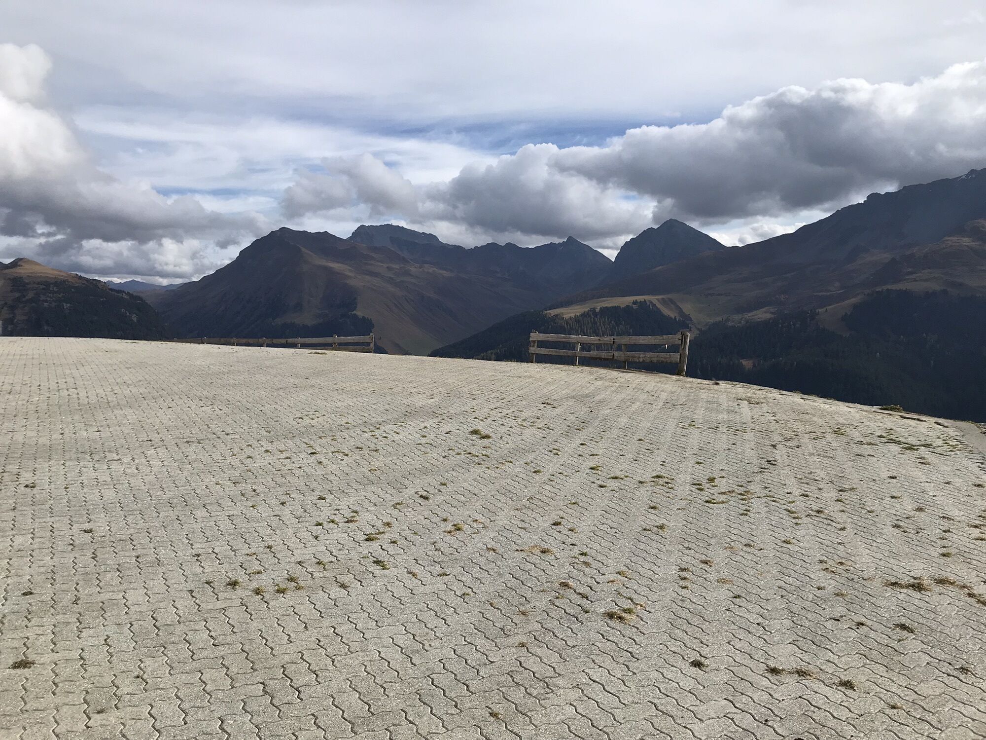
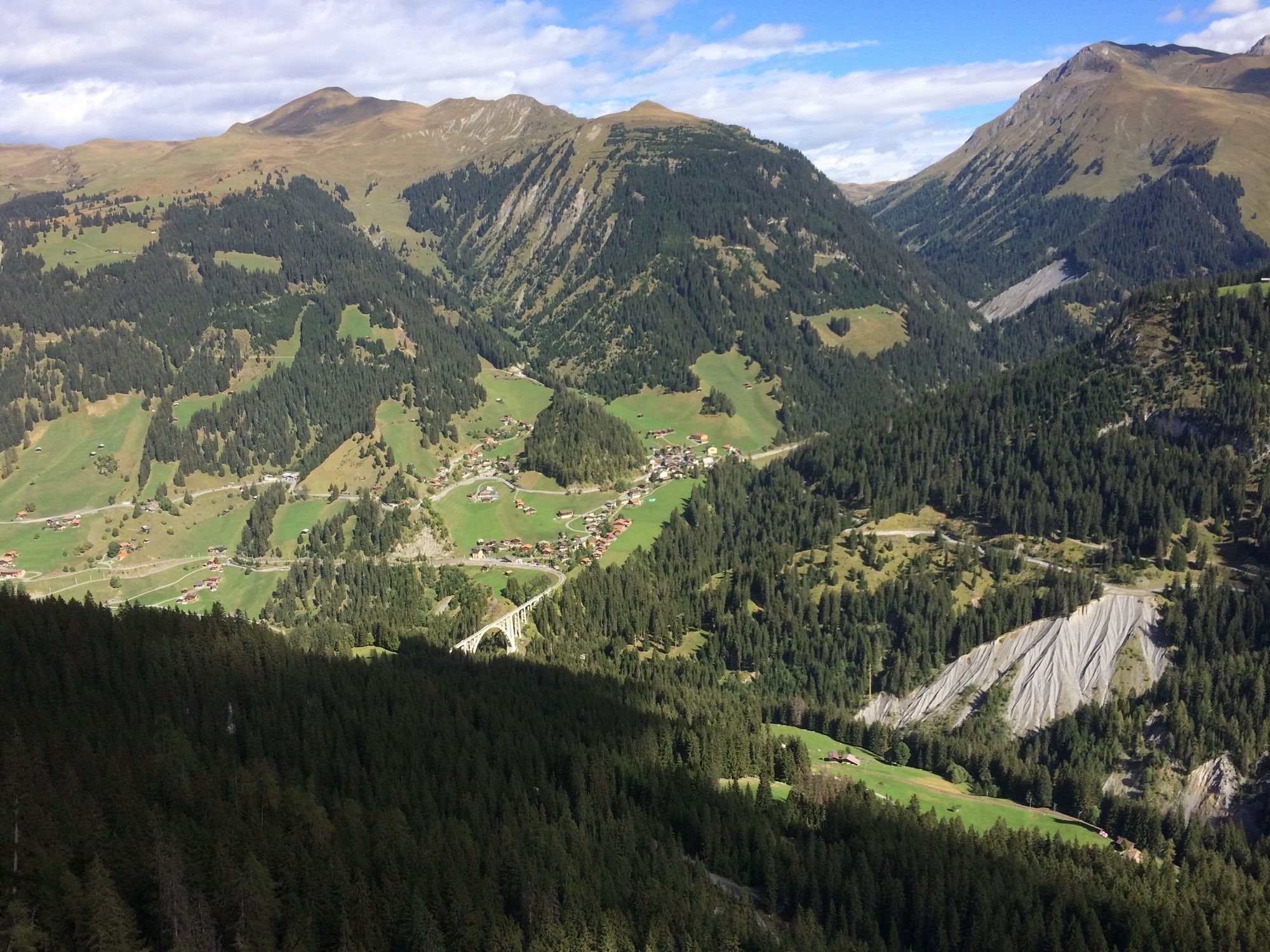
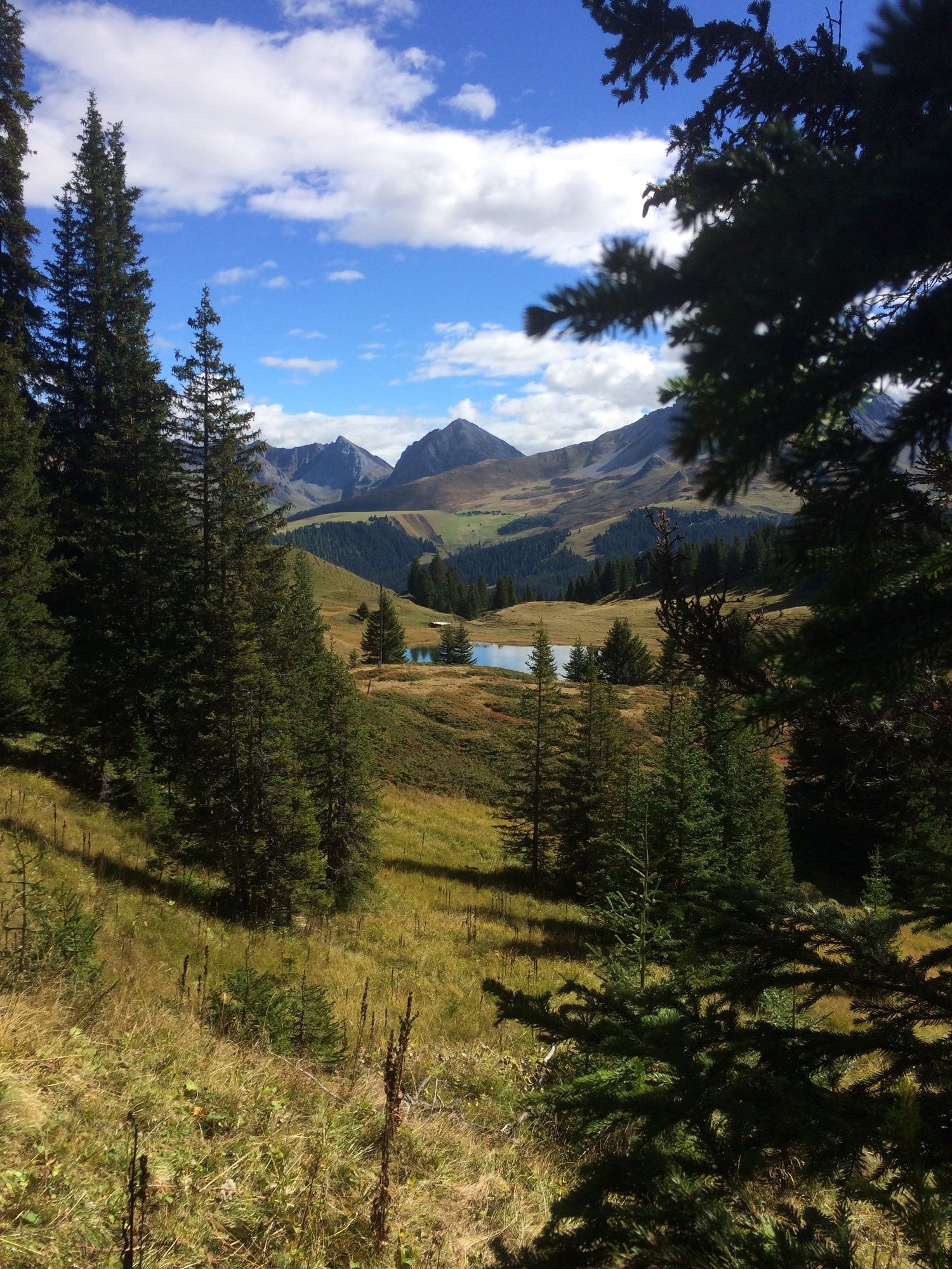
Arosa, Rundweg unter Prätschsee
light
Navigate
Navigate
Get this tour on your mobile
Arosa, Rundweg unter Prätschsee
light
Hiking
10,48
km
Scan the QR code and start navigation in the bergfex app

Hiking & Tracking


Distance
10,48
km
Duration
02:41
h
Ascent
237
m
Sea level
1.765 -
1.997
m
Track download
Arosa, Rundweg unter Prätschsee
light
Hiking
10,48
km


Route
Maran
(1.862 m)
Settlement
0,5 km
Panorama Arosa
(1.934 m)
Viewpoint
1,3 km
Prätschalp
(1.985 m)
Restaurant
2,4 km
Rot Tritt
(2.006 m)
Viewpoint
3,8 km
Route
Arosa, Rundweg unter Prätschsee
light
Hiking
10,48
km
Maran
(1.862 m)
Settlement
0,5 km
Panorama Arosa
(1.934 m)
Viewpoint
1,3 km
Prätschalp
(1.985 m)
Restaurant
2,4 km
Rot Tritt
(2.006 m)
Viewpoint
3,8 km


Route information
Forest area
Yes
No reviews yet
Popular tours in the neighbourhood
Alp Sanaspans - Rothorn
heavyHiking13,6 kmParsenn
mediumSkiing39,7 km- 5,0
Arosa-Hörnli-Urdenfürrgli-Alp Scharmoin-Lenzerheide
mediumHiking15,3 km - 5,0
Piz Scalottas - Brambrüesch
mediumHiking16,6 km Rundtour Lenzerheide
mediumHiking14,9 km521 Era Vedra
mediumSnowshoe2,82 km- 4,5
Davos Jackobshorn - Jatzihorn - Sertig Dörfli, Schweiz
mediumHiking8,29 km Weather Dwarfs of Heidbüel
mediumThematic route2,66 kmAlp Sanaspans - Lenzerhorn
heavyHiking6,28 kmChurwalden - Windegga - Fuulberg - Stätzerhorn
mediumTrailrunning13,2 km
Hiking & Tracking

Over 550.000 tour suggestions, detailed maps and an intuitive route planner make the app a must-have for all nature enthusiasts.

Don't miss out on offers and inspiration for your next holiday
Subscribe to the newsletter
Error
An error has occurred. Please try again.Thank you for your registration
Your e-mail address has been added to the mailing list.
Tours throughout Europe
Austria Switzerland Germany Italy Slovenia France Netherlands Belgium Poland Liechtenstein Czechia Slovakia Spain Croatia Bosnia and Herzegovina Luxembourg Andorra Portugal Iceland United Kingdom Ireland Greece Albania North Macedonia Malta Norway Montenegro Moldova Kosovo Hungary San Marino Romania Estonia Latvia Belarus Cyprus Lithuania Serbia Bulgaria Monaco Denmark Sweden Finland