
- Brief description
-
This demanding tour makes high demands on fitness and requires footwear suitable for the mountains. The hike offers several highlights.
- Difficulty
-
difficult
- Rating
-
- Starting point
-
Tourist Office Lenzerheide
- Route
-
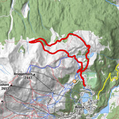
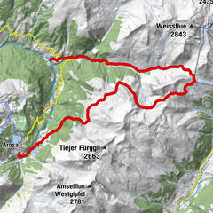
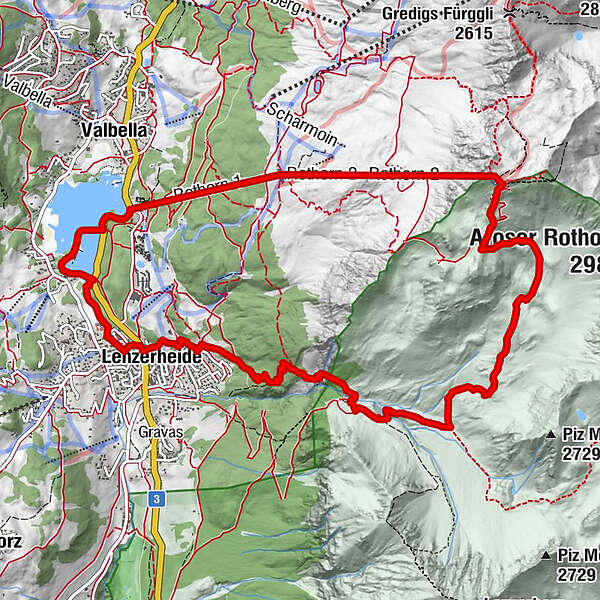
Lenzerheide (1,476 m)Alp Sanaspans3.1 kmRestaurant am Parpaner Rothorn7.7 kmParpaner Rothorn7.7 kmRothorn (2,857 m)7.8 kmScharmoin7.9 kmKugelbahn Scharmoin9.7 kmStation Scharmoin (1,904 m)9.7 kmScharmoin9.7 kmFreeflow Restaurant9.7 kmForellenstube - Seerestaurant11.7 kmLido12.0 kmLenzerheide (1,476 m)13.4 km
- Best season
-
JanFebMarAprMayJunJulAugSepOctNovDec
- Description
-
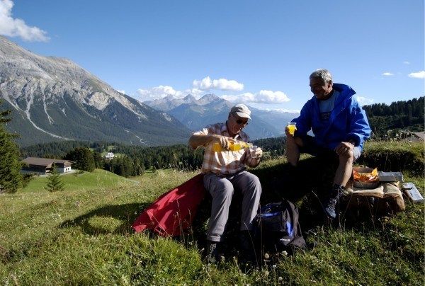
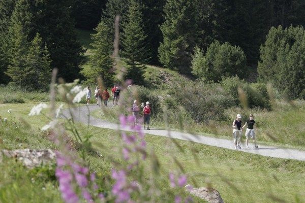
At the Tourist Office Lenzerheide, you immediately take the hiking trail uphill towards Crapera. From Crapera a steep path leads to the waterfall. The first highlight and opportunity for a rest. From the waterfall you go to Alp Sanaspans, where you can enjoy the view over Lenzerheide over a Salsiz. After Alp Sanaspans, the trail leads through the beautiful side valley of Sanaspans. Here, untouched nature and natural silence still reign. The final ascent to the Rothorn summit takes its toll once again. But the effort is more than rewarded with a drink at the panorama restaurant with a view of over 1,000 peaks.We recommend taking the train back down to the valley. Along the Heidsee lake and over the Lido, it's back to Lenzerheide to the starting point.
- Directions
-
Lenzerheide - Crapera - Waterfall - Alp Sanaspans - Rothorn - Lake Heidsee - Lido - Lenzerheide
- Highest point
- 2,852 m
- Endpoint
-
Tourist Office Lenzerheide
- Height profile
-
 © outdooractive.com
 - Equipment
-
Wear good shoes with sturdy hiking soles and take rainwear.
- Safety instructions
-
Look out for the operating times at the mountain railways at arosalenzerheide.swiss
- Parking
-
Julier car park or Clavadoiras car park


- Author
-
The tour Alp Sanaspans - Rothorn is used by outdooractive.com provided.


General info
-
Arosa Lenzerheide
819
-
Albula / Alvra
180