Fatschél - Hochwang - Fatschél
medium
Navigate
Navigate
Get this tour on your mobile
Fatschél - Hochwang - Fatschél
medium
Hiking
13,78
km
Scan the QR code and start navigation in the bergfex app

Hiking & Tracking


Distance
13,78
km
Duration
05:05
h
Ascent
917
m
Sea level
1.546 -
2.511
m
Track download
Fatschél - Hochwang - Fatschél
medium
Hiking
13,78
km


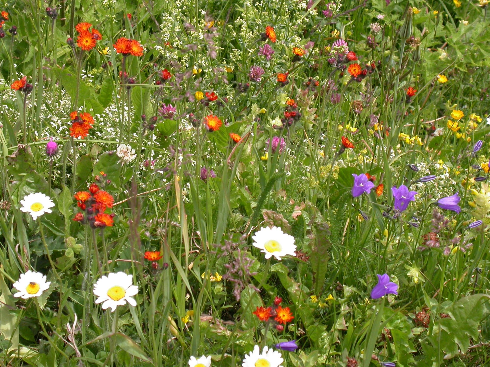
Einmalige Wanderung über Alpweiden mit mannigfaltiger Flora und einmaliger Aussicht in Richtung Tschiertschen-Arosa und vom Gipfel Hochwang öffnet sich der Blick ins Churer Rheintal.
Route
Fatschél
(1.515 m)
Village
0,0 km
Herti
(1.608 m)
Corridor/terrain
0,3 km
Palscuz
(1.627 m)
Corridor/terrain
0,4 km
Bleis
(2.144 m)
Settlement
4,1 km
Hochwang
(2.534 m)
Summit
6,8 km
Herti
(1.608 m)
Corridor/terrain
13,4 km
Fatschél
(1.515 m)
Village
13,8 km
Route
Fatschél - Hochwang - Fatschél
medium
Hiking
13,78
km
Fatschél
(1.515 m)
Village
0,0 km
Sporthotel Tanne
(1.542 m)
Restaurant
0,0 km
Herti
(1.608 m)
Corridor/terrain
0,3 km
Palscuz
(1.627 m)
Corridor/terrain
0,4 km
Triemel
(1.853 m)
Restaurant
2,3 km
Bleis
(2.144 m)
Settlement
4,1 km
Hochwang
(2.534 m)
Summit
6,8 km
Bleis
(2.144 m)
Settlement
9,6 km
Triemel
(1.853 m)
Restaurant
11,4 km
Palscuz
(1.627 m)
Corridor/terrain
13,4 km
Herti
(1.608 m)
Corridor/terrain
13,4 km
Sporthotel Tanne
(1.542 m)
Restaurant
13,7 km
Fatschél
(1.515 m)
Village
13,8 km
Author
Provided by Arosa Lenzerheide
The tour Fatschél - Hochwang - Fatschél is provided by outdooractive.com.


Route information
Summit tour
Yes
No reviews yet
Popular tours in the neighbourhood
Alp Sanaspans - Rothorn
heavyHiking13,6 kmParsenn
mediumSkiing39,7 km- 5,0
Arosa-Hörnli-Urdenfürrgli-Alp Scharmoin-Lenzerheide
mediumHiking15,3 km - 5,0
Piz Scalottas - Brambrüesch
mediumHiking16,6 km - 5,0
Buchner Tobel suspension bridge tour
mediumHiking9,38 km - 3,0
207 Mittelberg Parpan
mediumWinter hiking7,07 km - 4,2
Maiensäss circular hike Pany - Calondis
mediumHiking8,20 km 201 Heidsee route
lightWinter hiking5,49 km521 Era Vedra
mediumSnowshoe2,82 km- 4,0
Landquart,Seewis, Fadära,Valcaus retour Lanquart
mediumE-Bike33,1 km
Hiking & Tracking

Over 550.000 tour suggestions, detailed maps and an intuitive route planner make the app a must-have for all nature enthusiasts.

Don't miss out on offers and inspiration for your next holiday
Subscribe to the newsletter
Error
An error has occurred. Please try again.Thank you for your registration
Your e-mail address has been added to the mailing list.
Tours throughout Europe
Austria Switzerland Germany Italy Slovenia France Netherlands Belgium Poland Liechtenstein Czechia Slovakia Spain Croatia Bosnia and Herzegovina Luxembourg Andorra Portugal Iceland United Kingdom Ireland Greece Albania North Macedonia Malta Norway Montenegro Moldova Kosovo Hungary San Marino Romania Estonia Latvia Belarus Cyprus Lithuania Serbia Bulgaria Monaco Denmark Sweden Finland