


Mojstrana – Gozd Martuljek – Kranjska Gora – RateÄe – PeÄ (Tromeja) – Korensko sedlo

Today’s stage has two faces: the first part leads us leisurely through the tourist besieged towns of the Upper Sava Valley, and the second part takes us along the lonely forest roads to the highest point of the day where the borders of the three countries – Slovenia, Austria, Italy – meet.
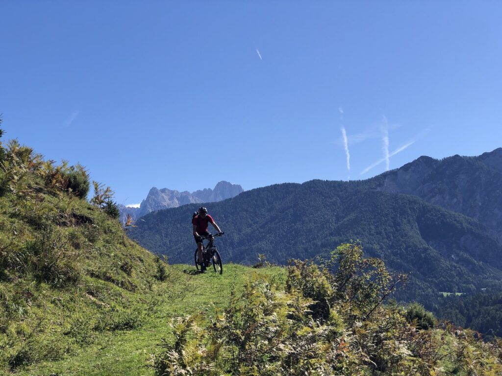
From the museum, we descend for 500 m through Mojstrana along the Triglavska Street and turn left onto Jakob Aljaž Street. After 250 m we turn right onto a smaller path and an avenue that leads to the bridge over the Sava Dolinka river. We turn left here. The navigation challenges are over for a while, as the well-maintained and marked D2 cycling route will take us up to RateÄe village which is 19 km away and 220 vertical meters higher. We pass Belca and through Gozd Martuljek. If we like the hustle and bustle of downtown Kranjska Gora, we can also refresh ourselves there, otherwise we continue below the famous ski slopes and bike park towards Podkoren, past Zelenci, the source of Sava Dolinka river, to RateÄe. At the roundabout we cross the main road and after 200 m turn left through the village. At the well in the middle of the village we can get some fresh water, and at the end of the village we branch off to the side road that leads up towards Tromeja. The climb is 6.5 km long with an altitude difference of 600 m. The asphalt soon turns into a gravel road, along the way we are accompanied by information boards where we can learn more about landscapes and activities in mountain pastures and forests above RateÄe.
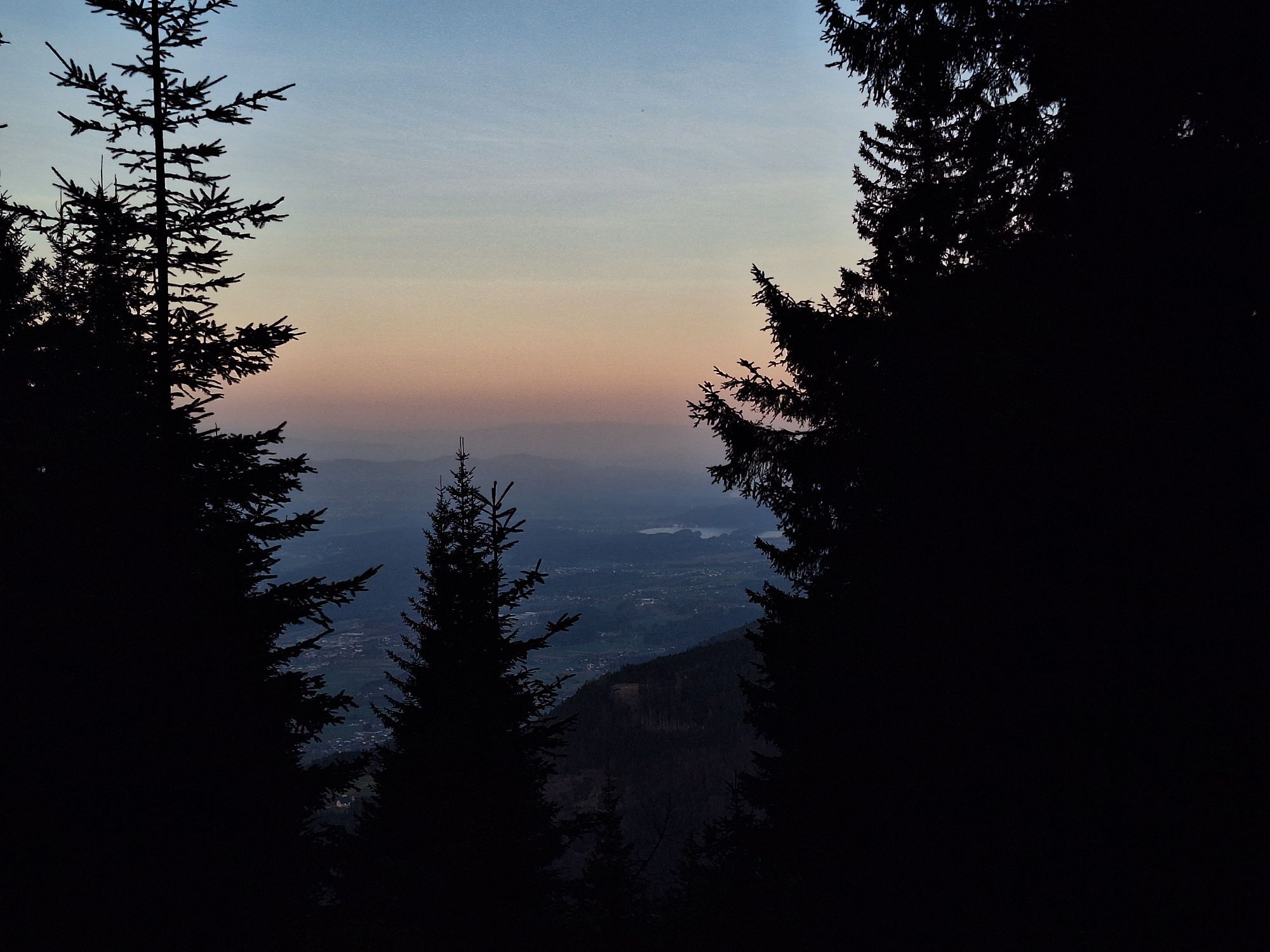
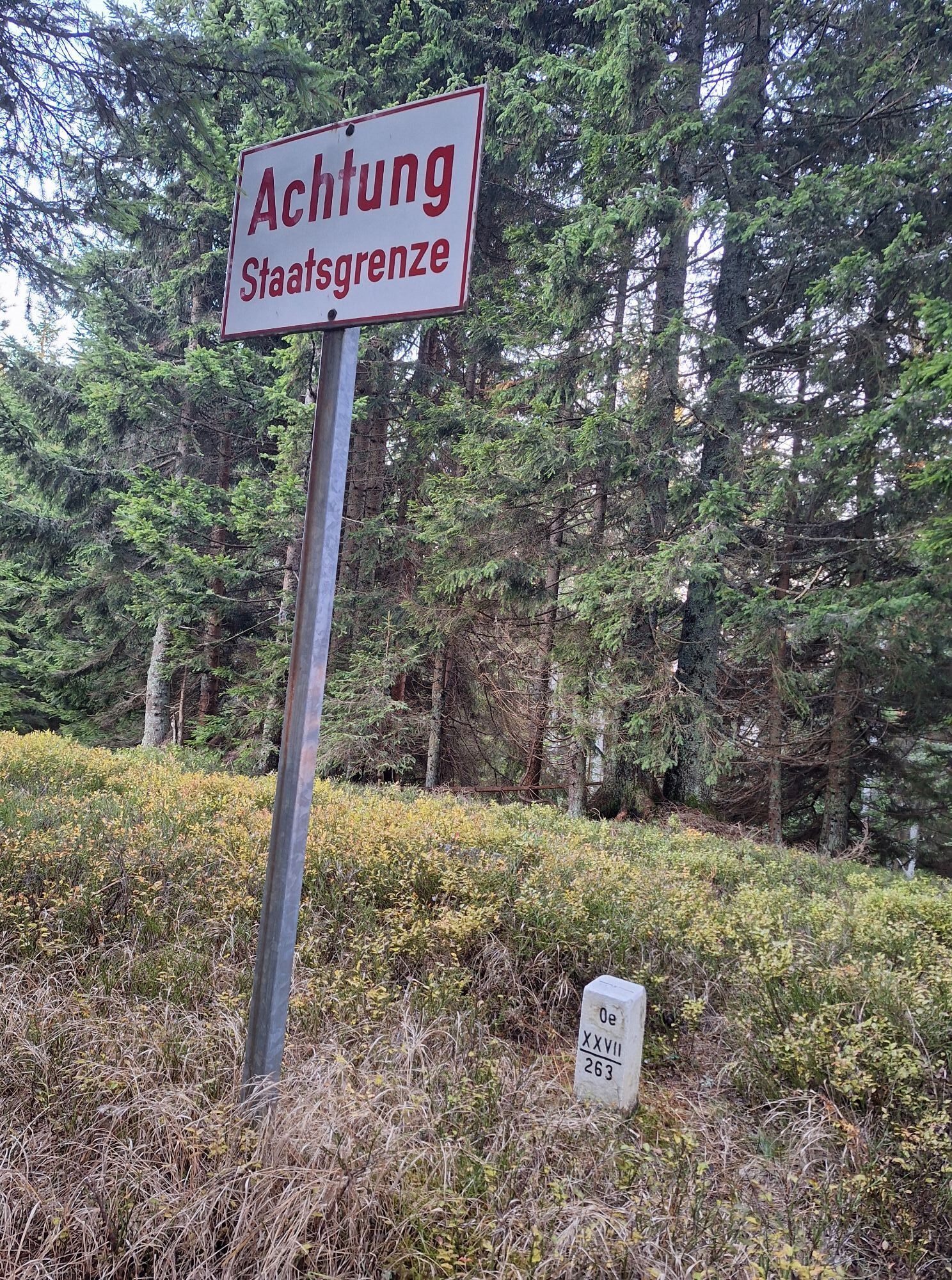
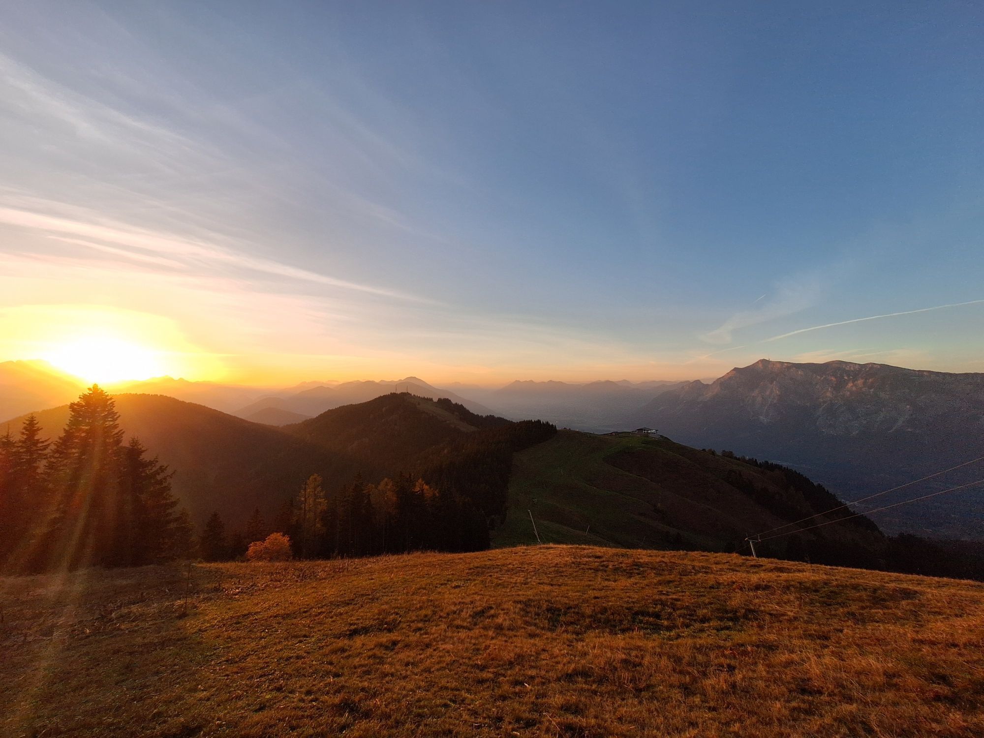
At the intersection after 2 km we continue left upwards, also going left past the fork for Dom na Tromeji which is unfortunately closed. Another turn follows, we also go left up here. Soon we will see meadows on the right, which are part of the ski resort on the Austrian side, and the last couple of switchbacks bring us right to the top. The peak offers a magnificent view of the Julian Alps to the south and the Ziljska valley (Gailtal), DobraÄ and Carinthian lakes to the north. You have the unique opportunity to stand on the border point of three countries – Slovenia, Austria and Italy.
The tour ends with a descent to Korensko sedlo. We ride back on the road where we climbed, at the intersection after 2.5 km we turn sharp left. The gravel road is mostly descending for another 5 km until a kilometer before the finish it connects to the main road. We turn sharply left towards Korensko Sedlo, where we can congratulate ourselves as we completed the Trans Karavanke MTB Trail!
Sights along the route:
Zelenci – the source of Sava Dolinka River
Lake Jasna above Kranjska Gora (1 km detour)
Planica Nordic Ski Center (2 km detour)
Popular tours in the neighbourhood
-
4.9
Orrido dello Slizza, Tarvisio, Italië
lightHiking 2.65 km -
4.8
Krma - Triglav
heavyMountain hiking 18.6 km -
4.5
Zacchi Wanderung Rundweg
lightHiking 8.85 km -
4.6
Rotschitza Klamm Klettersteig B/C
mediumVia ferrata 3.73 km -
3.9
Faakersee Rundweg
lightHiking 9.55 km -
4.9
Triglav
heavyHigh tour 12.1 km -
4.8
Fusine Lakes
lightHiking 5.43 km -
4.3
Einfacher Aufstieg vom Parkplatz Rosstratte auf den Dobratsch
lightHiking 9.12 km -
4.4
Hüttenkult - Koča v Krnici
mediumHiking 14.9 km -
4.5
Spaziergang entlang der Pišnica
lightHiking 8.13 km
Hiking & Tracking


Don't miss out on offers and inspiration for your next holiday
Your e-mail address has been added to the mailing list.