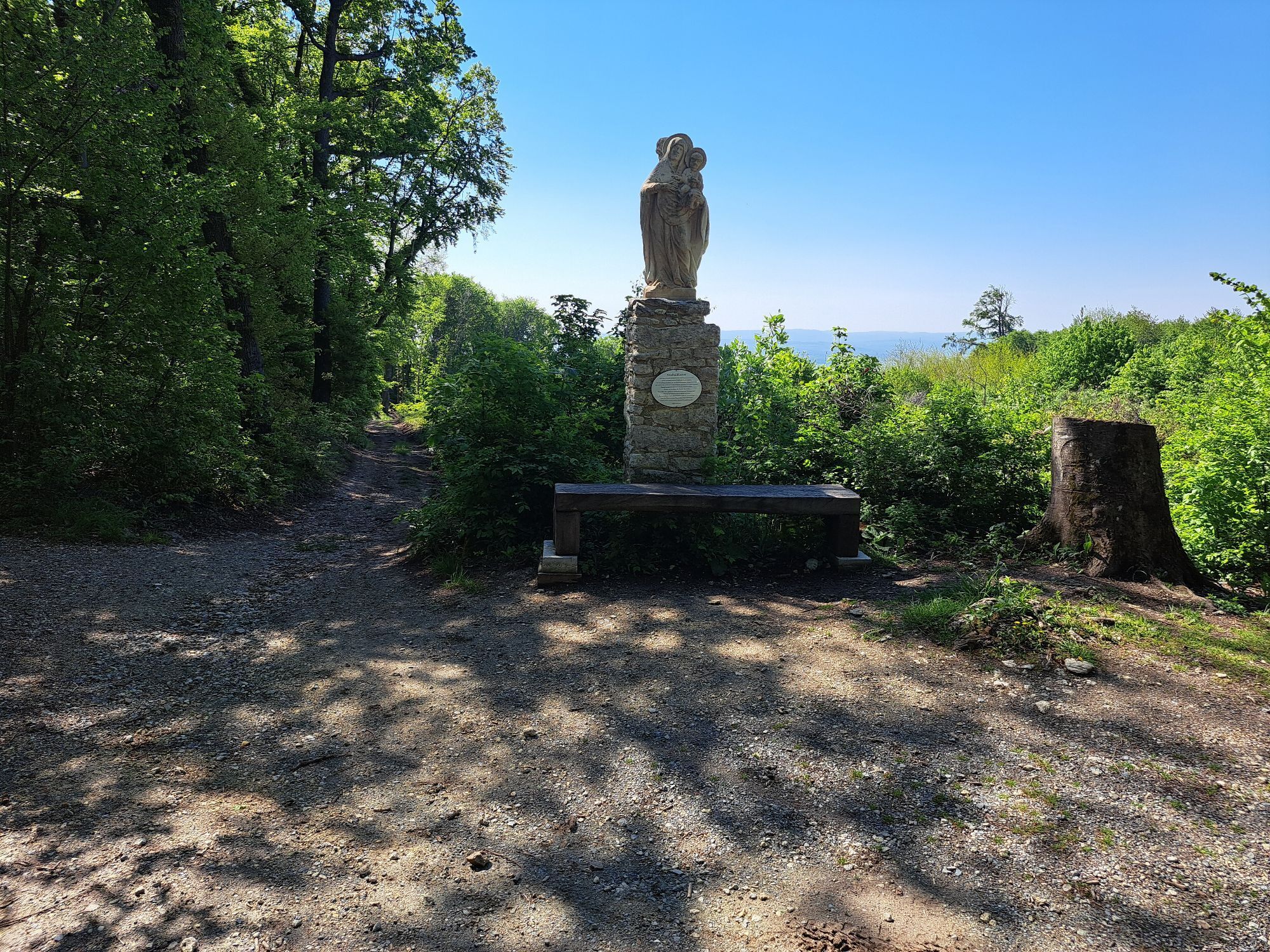
Eisenstadt - Föhrenberg - Sonnenberg - Hornstein/Vorištan
heavy
Navigate
Navigate
Get this tour on your mobile
Eisenstadt - Föhrenberg - Sonnenberg - Hornstein/Vorištan
heavy
Hiking
19.70
km
Scan the QR code and start navigation in the bergfex app

Hiking & Tracking


Distance
19.70
km
Duration
05:16
h
Ascent
549
m
Sea level
212 -
481
m
Track download
Eisenstadt - Föhrenberg - Sonnenberg - Hornstein/Vorištan
heavy
Hiking
19.70
km


Route
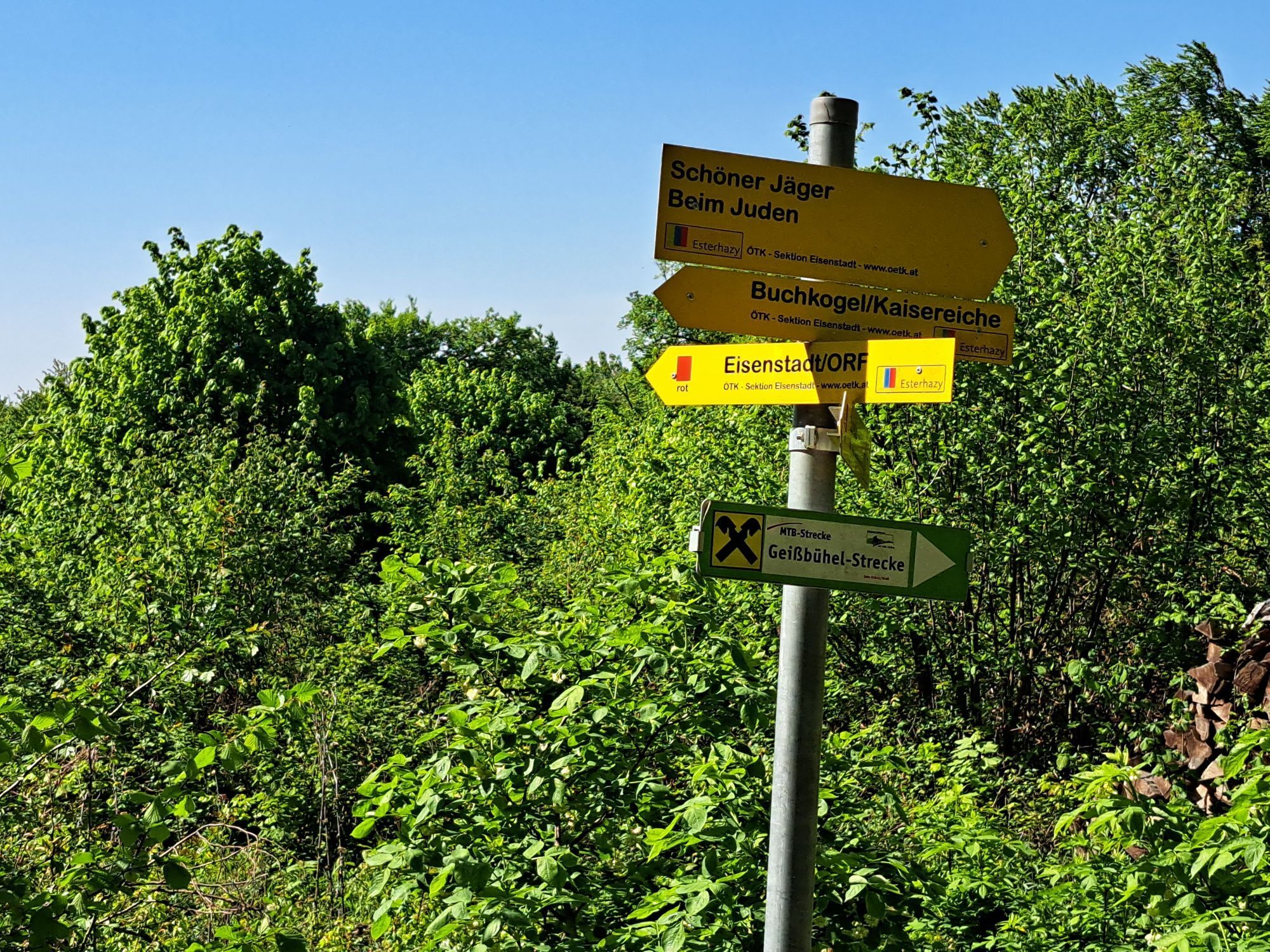
Föhrenberg
(375 m)
Summit
13.0 km
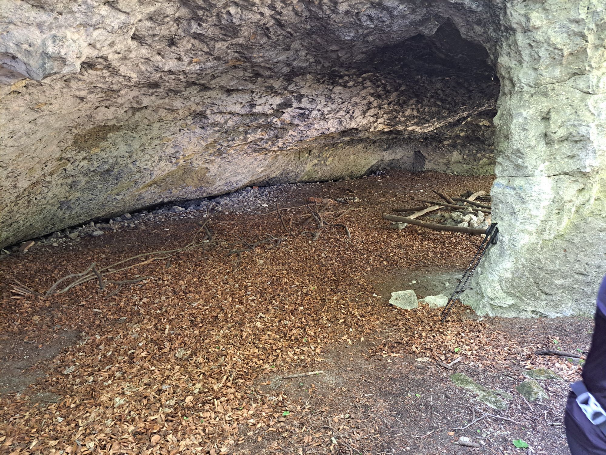
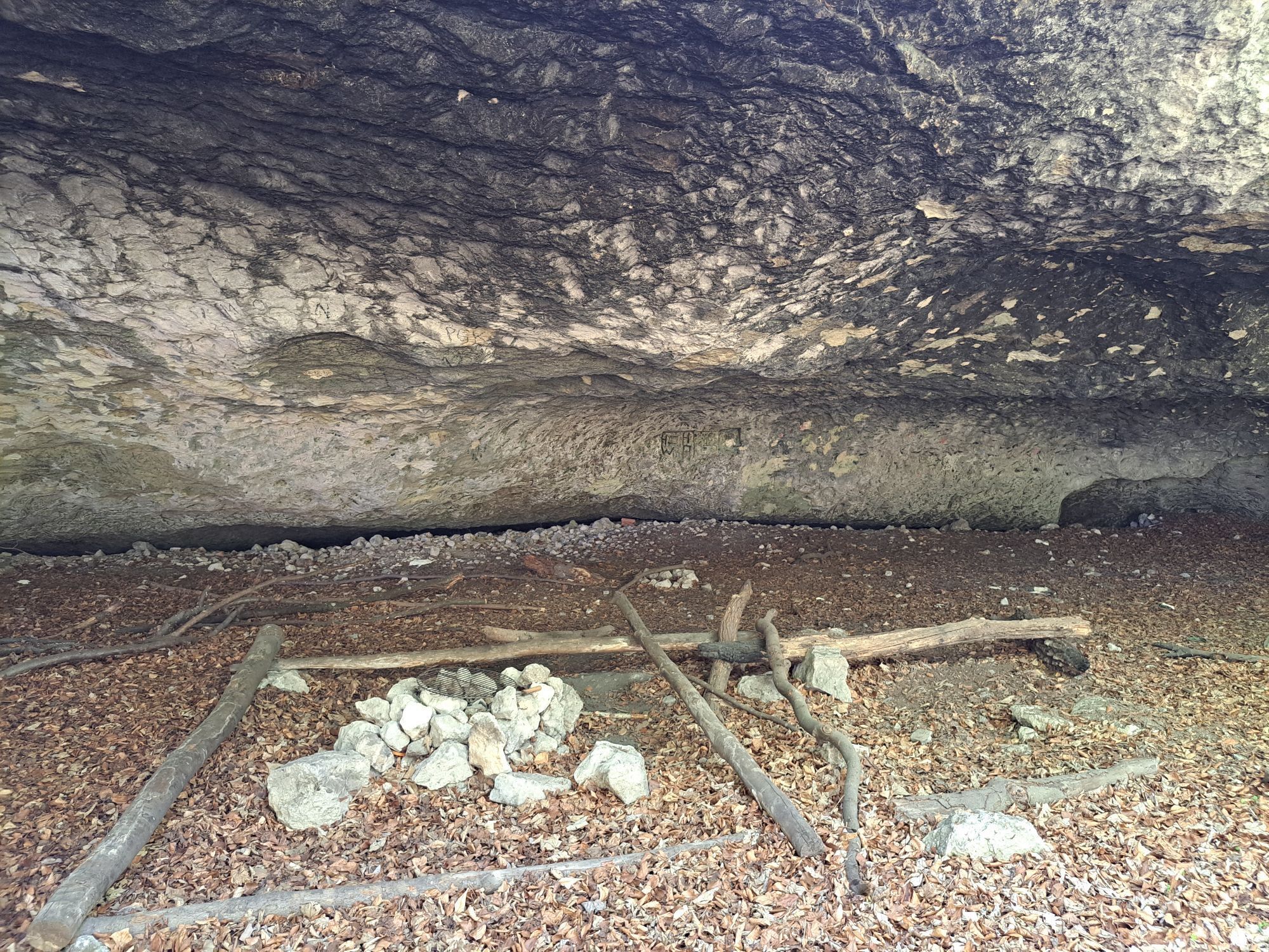
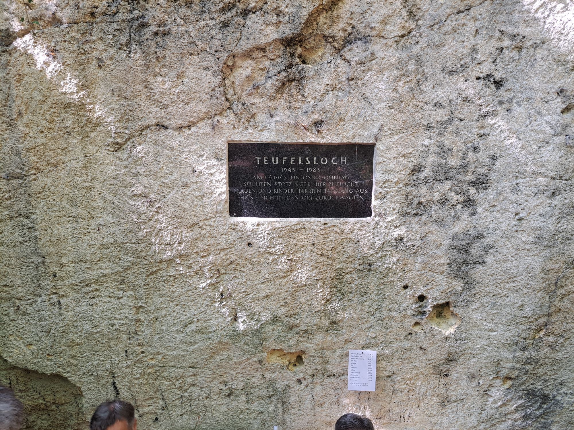
Beim Juden
(450 m)
Corridor/terrain
15.3 km
Sonnenberg
(484 m)
Summit
16.4 km
Sonnenbergwarte
(481 m)
Viewpoint
16.6 km
Kleiner Sonnenberg
(460 m)
Summit
16.9 km
Hornstein/Vorištan
(262 m)
Village
19.0 km
Route
Eisenstadt - Föhrenberg - Sonnenberg - Hornstein/Vorištan
heavy
Hiking
19.70
km
Föhrenberg
(375 m)
Summit
13.0 km
Beim Juden
(450 m)
Corridor/terrain
15.3 km
Sonnenberg
(484 m)
Summit
16.4 km
Sonnenbergwarte
(481 m)
Viewpoint
16.6 km
Kleiner Sonnenberg
(460 m)
Summit
16.9 km
Hornstein/Vorištan
(262 m)
Village
19.0 km
No reviews yet
Popular tours in the neighbourhood
-
4.5
Kloster St. Anna & Ruine Scharfeneck zu Mannersdorf
lightHiking 5.27 km -
4.2
MANNERSDORF, St.Anna, Aussichtspkt. Stb.1 Ruine Scharfeneck, F.J.Warte, Aussichtspkt. Stb.2 20230329
mediumHiking 16.5 km -
3.0
Mannersdorfer Wüste - Angelos Touren
mediumHiking 15.6 km -
4.2
Malerischer Ruster-Hochgenuss
Cycling 42.6 km -
3.8
Mannersdorf Wüste - Gipfelkreuz - Ruine - Labyrinth
lightHiking 9.32 km -
3.5
Wüste Mannersdorf - Angelos Touren
lightHiking 8.24 km -
3.5
Loretto - Buchkogel
lightHiking 10.4 km -
4.3
Wüste Mannersdorf
lightHiking 6.01 km -
4.2
Bäckersteig trail
heavyMountainbike 25.5 km -
4.7
N24 Oslip-Schützen-Oggau circular hiking trail
lightHiking 13.7 km
Hiking & Tracking

Over 550.000 tour suggestions, detailed maps and an intuitive route planner make the app a must-have for all nature enthusiasts.

Don't miss out on offers and inspiration for your next holiday
Subscribe to the newsletter
Error
An error has occurred. Please try again.
Thank you for your registration
Your e-mail address has been added to the mailing list.
Tours throughout Europe
Austria
Switzerland
Germany
Italy
Slovenia
France
Netherlands
Belgium
Poland
Liechtenstein
Czechia
Slovakia
Spain
Croatia
Bosnia and Herzegovina
Luxembourg
Andorra
Portugal
Iceland
United Kingdom
Ireland
Greece
Albania
North Macedonia
Malta
Norway
Montenegro
Moldova
Kosovo
Hungary
San Marino
Romania
Estonia
Latvia
Belarus
Cyprus
Lithuania
Serbia
Bulgaria
Monaco
Denmark
Sweden
Finland