


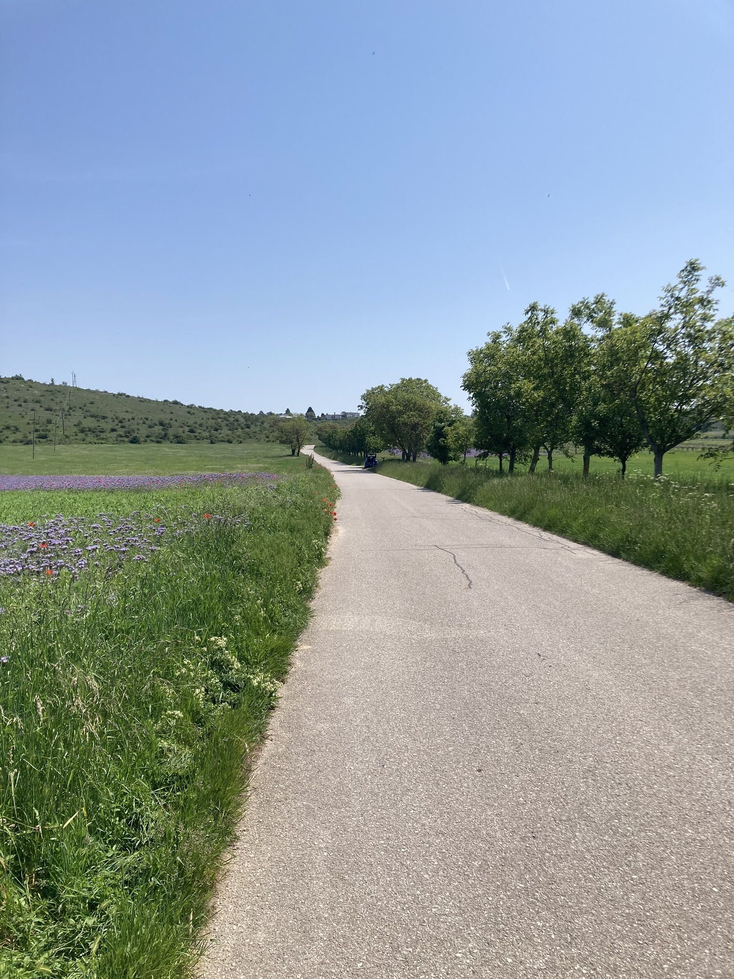
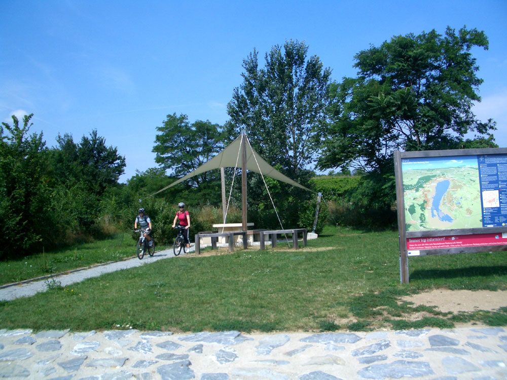
1 Kilometer nach Oggau direkt am Neusiedlersee-Radweg beginnt der Verbindungsradweg B14 Streckenlänge: 15,4 km Strassenbelag: Asphalt Höhenmeter: 129hm Profil: leicht Beschilderung: perfekt Von Ort zu...
1 Kilometer nach Oggau direkt am Neusiedlersee-Radweg beginnt der Verbindungsradweg B14
Streckenlänge: 15,4 km
Strassenbelag: Asphalt
Höhenmeter: 129hm
Profil: leicht
Beschilderung: perfekt
Von Ort zu Ort
Start beim Neusiedlersee-Radweg bei Oggau
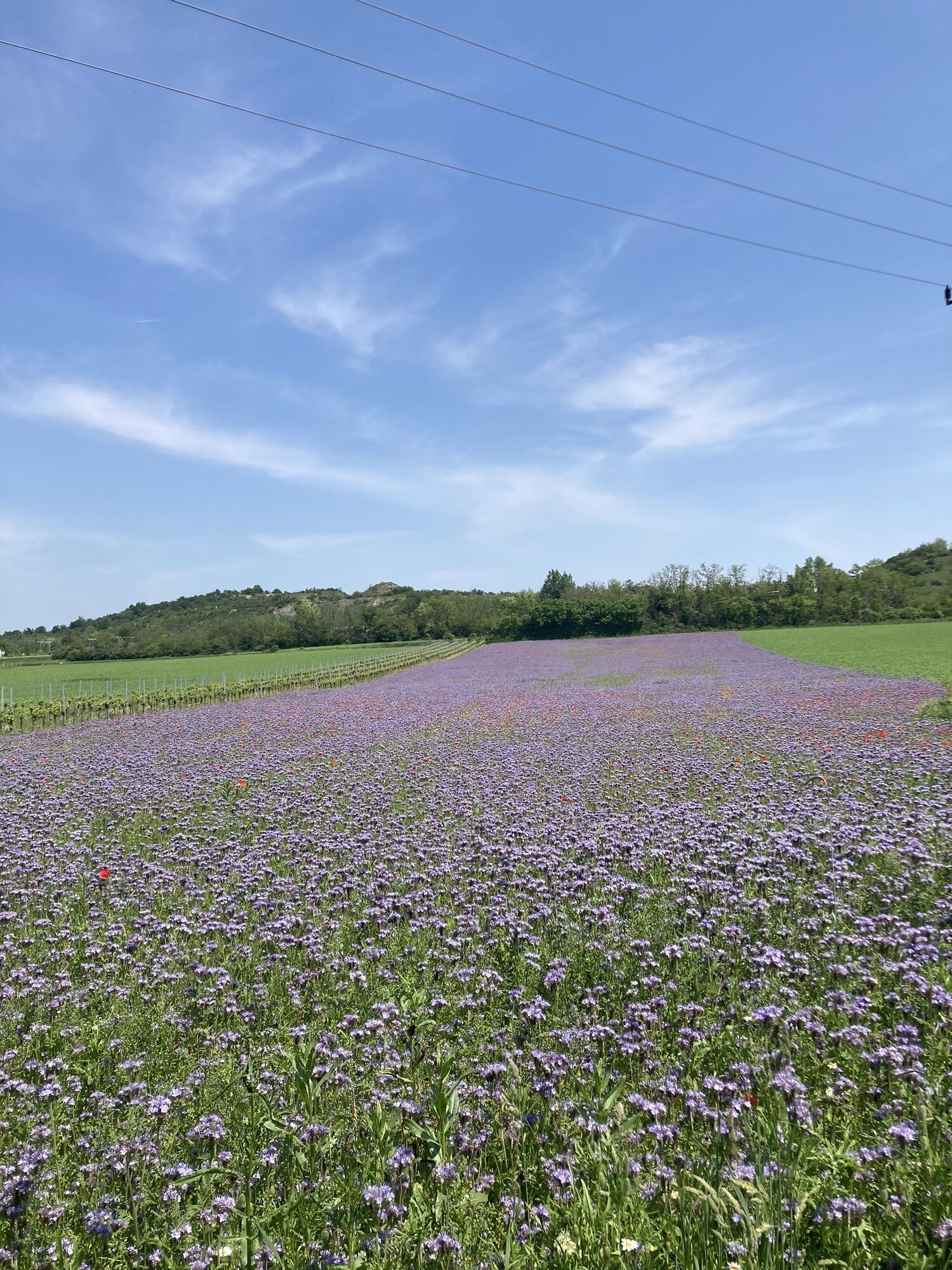
km 2,3 Märchenpark
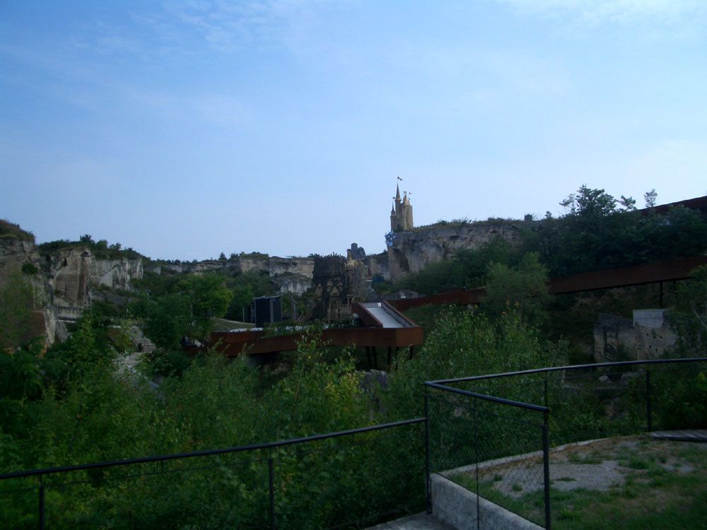
km 3 Römersteinbruch
km 4,2 St.Magarethen
km 4,3 Abz B14 nach Sopron
km 8,7 Trausdorf
km 15,4 Schloss Esterhazy
Anschlussradwege
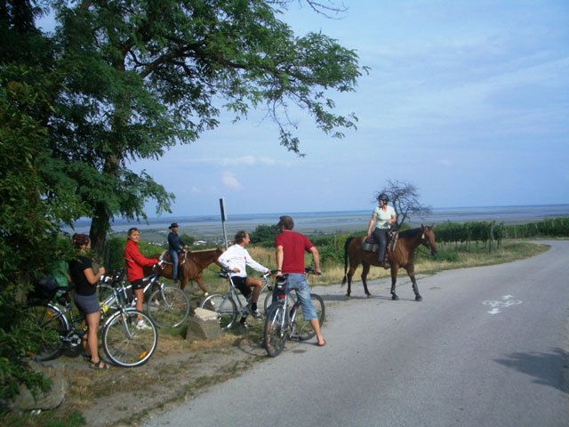
Neusiedlersee Radweg
B13 Verbindungsradweg
R50 Verbindungsradweg
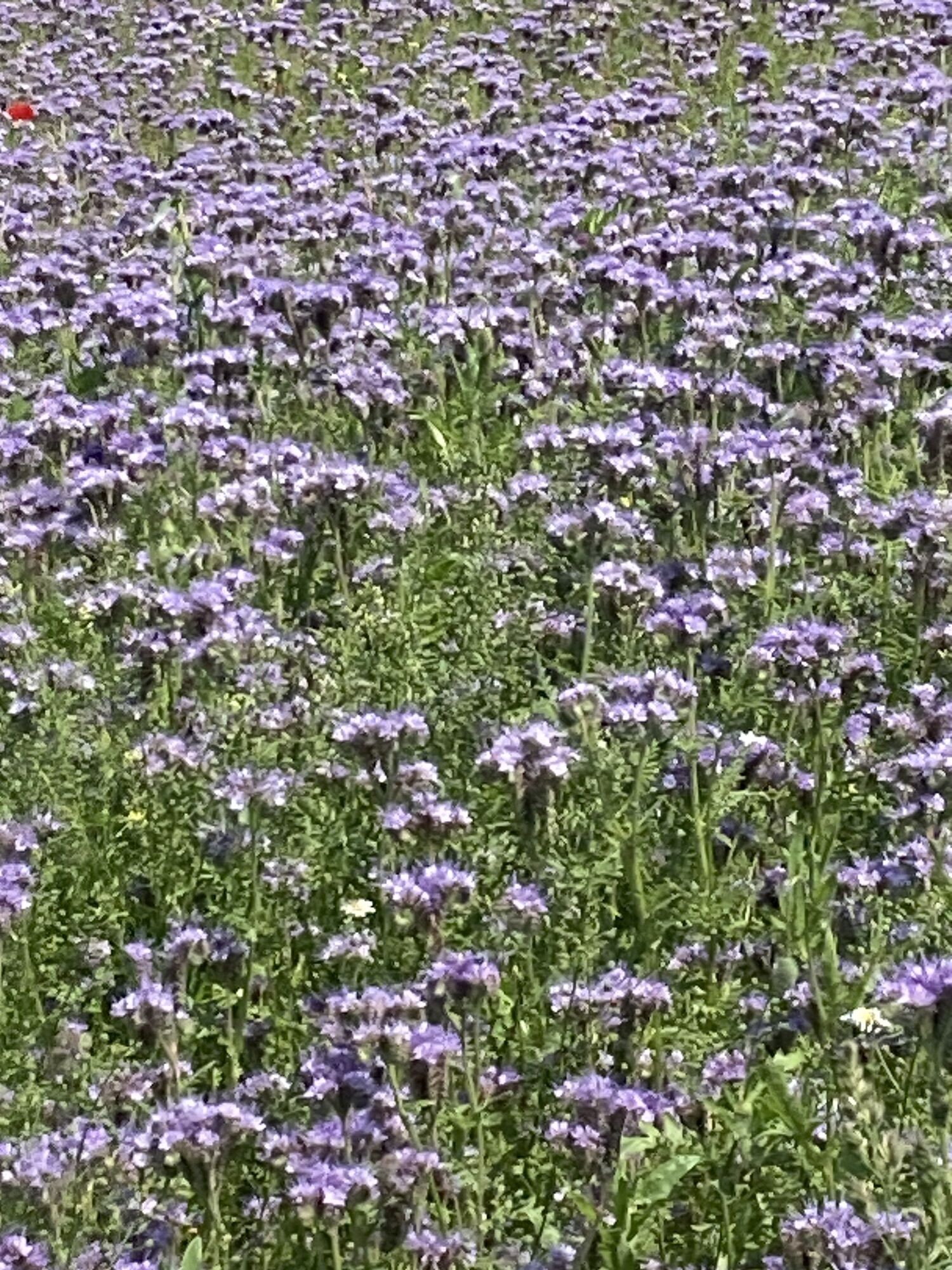
Sehenswertes
Familypark Neusiedlersee
Römersteinbruch
Schloss Esterhazy
Strecke abgefahren mit dem Rad von Alfredo am 28 Juli 2010
Tourismusinformation:
Neusiedler See Tourismus
Obere Hauptstraße 24
A-7100 Neusiedl am See
Österreich
Tel. +43(0)2167/8600
Fax +43(0)2167/8600-20
info@neusiedlersee.com
www.neusiedlersee.com
Eisenstadt Tourismus
Glorietteallee 1
A-7000 Eisenstadt
Tel.: +43 (0)2682/67390
Fax: +43 (0)2682/67391
E-mail: info@eisenstadt-tourismus.at
www.eisenstadt.gv.at


Anreise:Wien
Wechseln Sie an der Anschlußstelle Knoten Guntramsdorf von der A2 auf die A3 in Richtung Eisenstadt
Wechseln Sie an der Anschlußstelle Knoten Eisenstadt von der A3 auf die S31 in Richtung Eisenstadt
Verlassen Sie die S31 an der Ausfahrt Eisenstadt Süd in Richtung Eisenstadt Süd und fahren Sie auf die Ruster-Bundesstraße (B52).
Anreise:Graz
Auf der A2 bis Anschlußstelle Knoten Wiener Neustadt weiter auf der S4 in Richtung Eisenstadt, Mattersburg, Ungarn.
Verlassen Sie die S4 in Richtung Eisenstadt und fahren Sie auf die Burgenland-Schnellstraße (S31).
Verlassen Sie die Burgenland-Schnellstraße (S31) und fahren Sie weiter geradeaus auf die Ruster-Bundesstraße (B52)
Popular tours in the neighbourhood
- 4,2
MANNERSDORF, St.Anna, Aussichtspkt. Stb.1 Ruine Scharfeneck, F.J.Warte, Aussichtspkt. Stb.2 20230329
mediumHiking16,5 km - 4,8
Burgenland Extrem 2024
heavyHiking112,0 km - 3,0
Mannersdorfer Wüste - Angelos Touren
mediumHiking15,6 km - 5,0
Kirschblütenweg Donnerskirchen - Breitenbrunn - Donnerskirchen
lightHiking24,8 km - 4,2
Malerischer Ruster-Hochgenuss
Cycling42,6 km Draßburger Wald: Marzer Kogel und Rohrbacher Teichwiesen
lightHiking9,02 km- 4,8
Mörbisch nach Illmitz 2023, Burgenland/Österreich
lightE-MTB71,6 km - 3,5
Loretto - Buchkogel
lightHiking10,4 km - 4,2
Bäckersteig trail
heavyMountainbike25,5 km - 4,7
N24 Oslip-Schützen-Oggau circular hiking trail
lightHiking13,7 km
Hiking & Tracking


Don't miss out on offers and inspiration for your next holiday
Your e-mail address has been added to the mailing list.