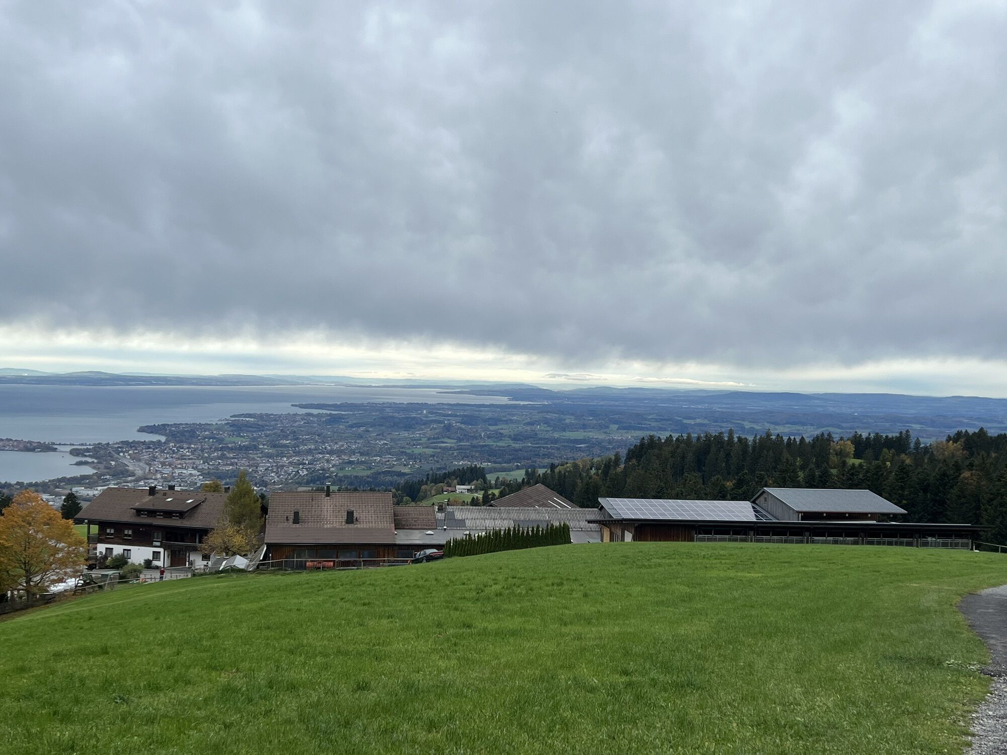
Scheidegg - Bromatsreute - Hochberg - Fesslerhof
heavy
Navigate
Navigate
Get this tour on your mobile
Scheidegg - Bromatsreute - Hochberg - Fesslerhof
heavy
Hiking
16.35
km
Scan the QR code and start navigation in the bergfex app

Hiking & Tracking


Distance
16.35
km
Duration
05:18
h
Ascent
263
m
Sea level
825 -
1,061
m
Track download
Scheidegg - Bromatsreute - Hochberg - Fesslerhof
heavy
Hiking
16.35
km
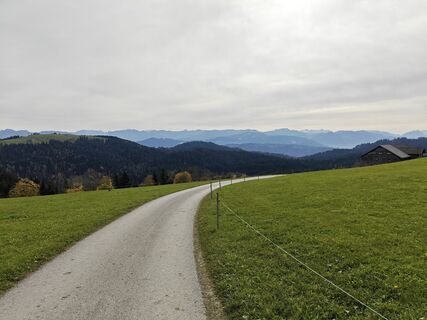
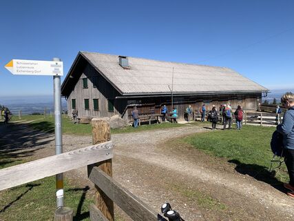
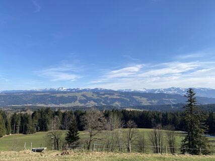
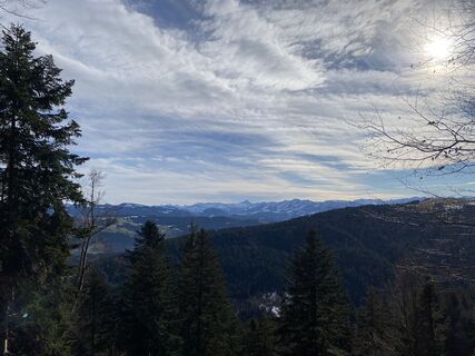
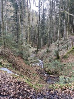
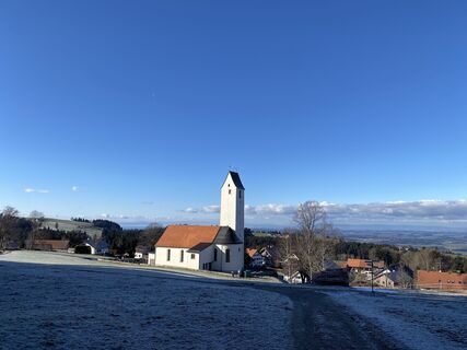
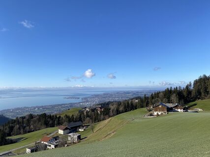
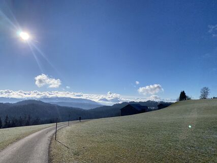
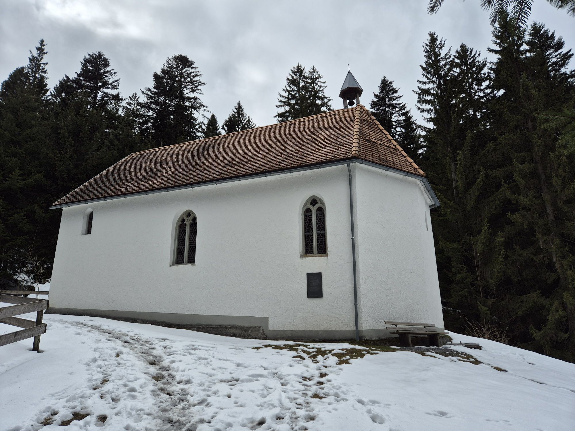
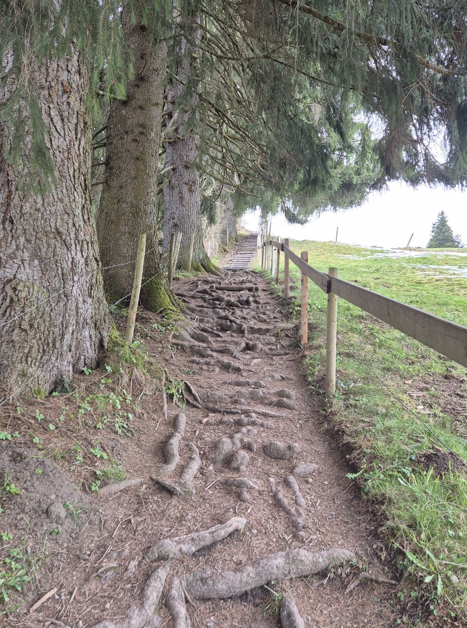
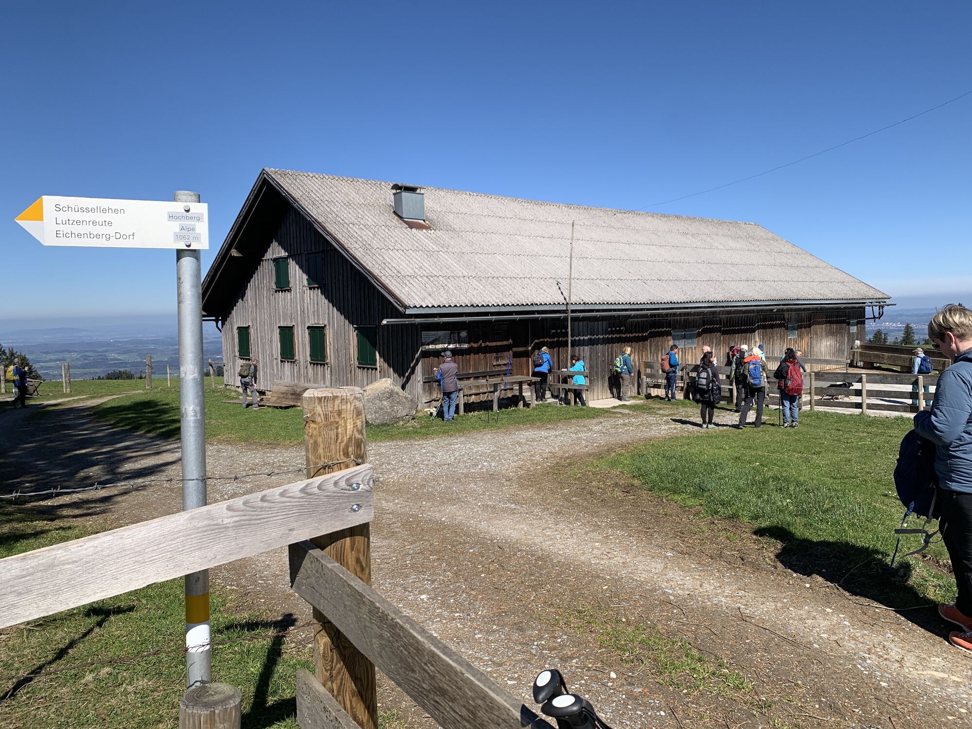
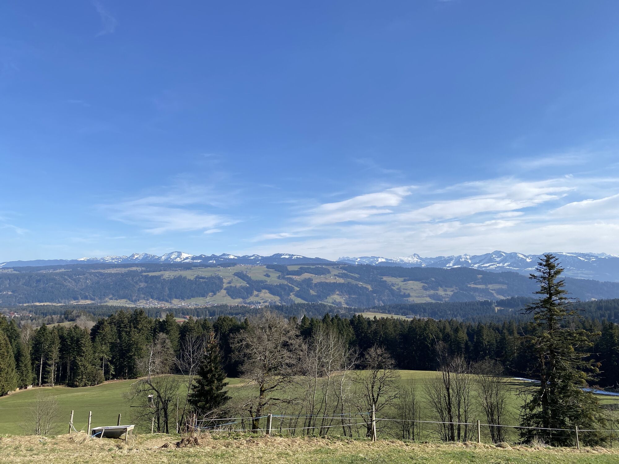
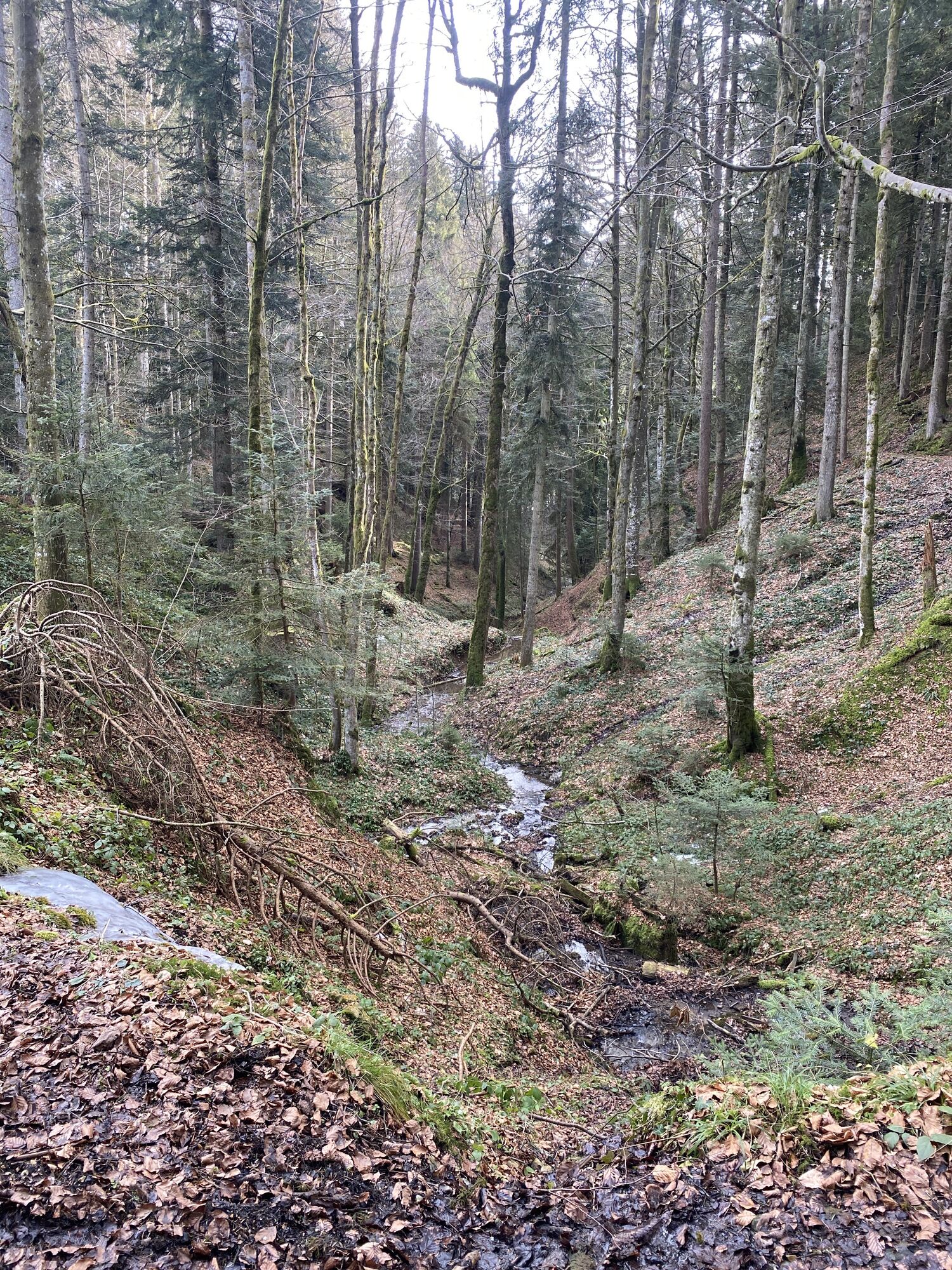
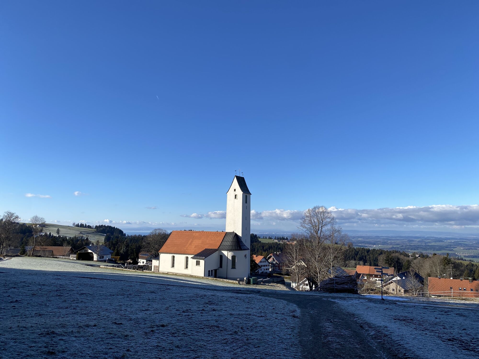
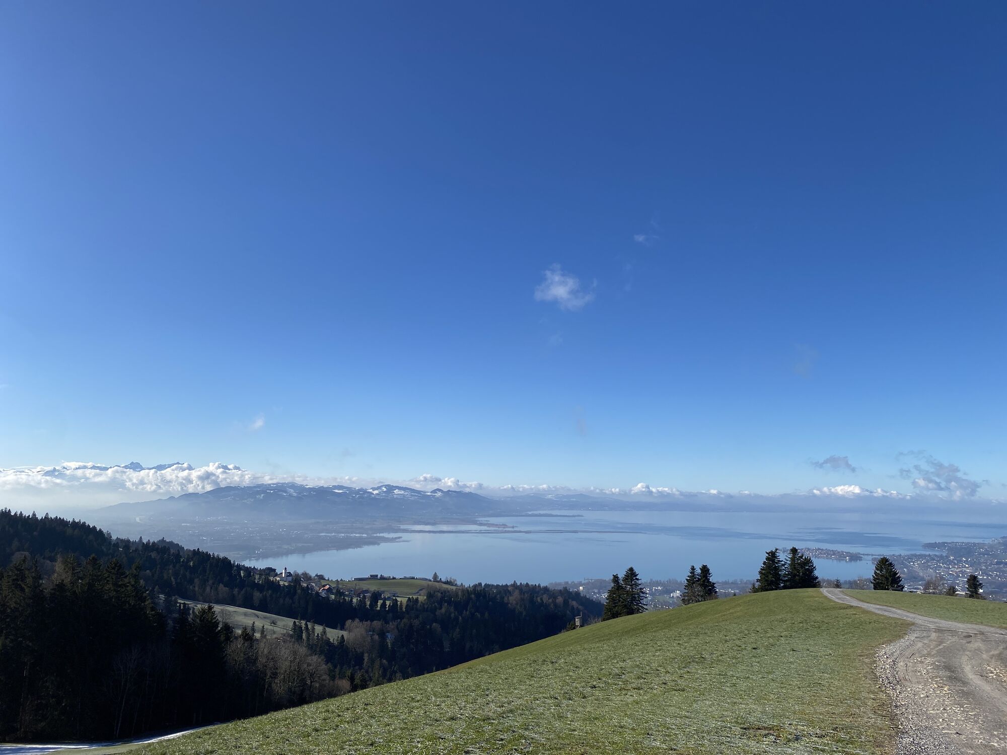
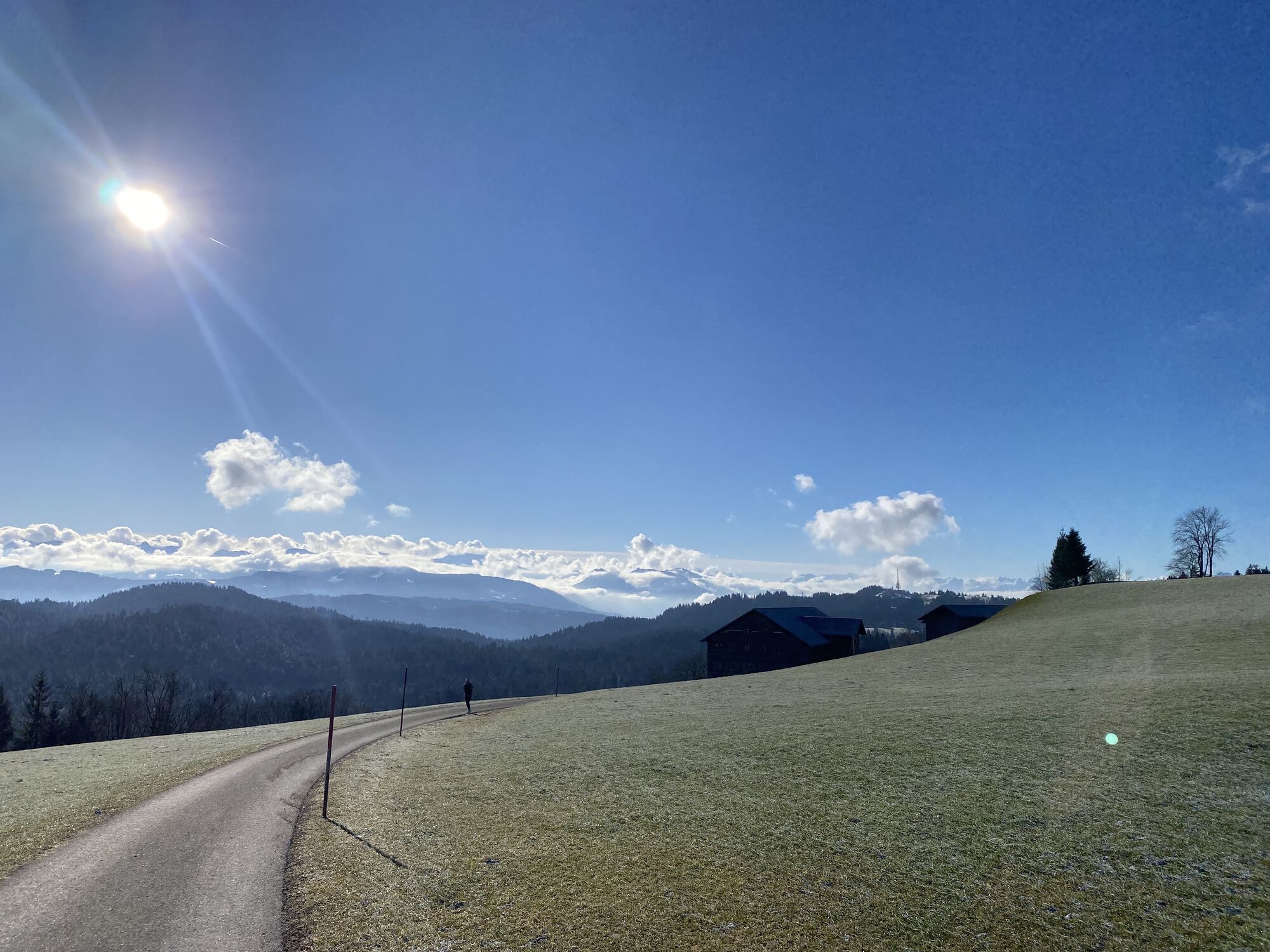
Photos from our users
-

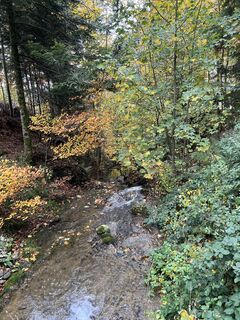
 © Anja Mohn-GrossCreated on 04.04.2026
 -
 © Anja Mohn-GrossCreated on 04.04.2026
 -
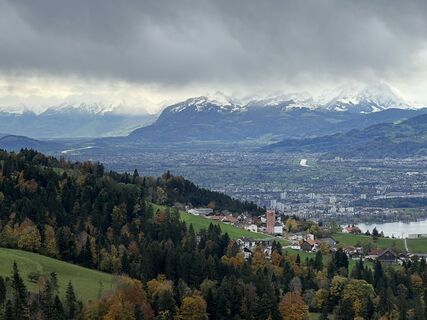
 © Xenia LangeCreated on 19.10.2025
 -
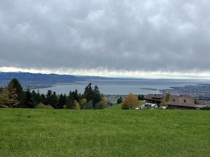
 © Kueng ElmarCreated on 02.04.2025
 -
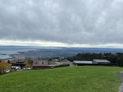
 © Lars KleinCreated on 09.03.2025
 -
 © Lars KleinCreated on 25.01.2025
 -
 © Lars KleinCreated on 25.01.2025
 -
 © Lars KleinCreated on 11.01.2025
 -
 © Lars KleinCreated on 11.01.2025
 -
 © Lars KleinCreated on 11.01.2025
 -
 © Lars KleinCreated on 11.01.2025
 -
 © Lars KleinCreated on 11.01.2025
 -
 © Andrea VogtCreated on 04.11.2023
 -
 © Andrea VogtCreated on 04.11.2023
 -
 © Andrea VogtCreated on 04.11.2023
 -
 © Andrea VogtCreated on 04.11.2023


Route
Ebenschwand
(869 m)
Settlement
1.2 km
Oberstein
(885 m)
Settlement
3.6 km
Hochberg
(1,069 m)
Summit
8.3 km
Unterfluh
(866 m)
Settlement
9.7 km
Mühle
(884 m)
Settlement
10.0 km
Möggers
(927 m)
Village
12.7 km
Oberschwenden
(942 m)
Settlement
13.8 km
Route
Scheidegg - Bromatsreute - Hochberg - Fesslerhof
heavy
Hiking
16.35
km
Ebenschwand
(869 m)
Settlement
1.2 km
Ulrichsquelle
(944 m)
Source
2.8 km
Oberstein
(885 m)
Settlement
3.6 km
Bromatsreute
(890 m)
Restaurant
5.2 km
Hochberg
(1,069 m)
Summit
8.3 km
Fesslerhof
(974 m)
Restaurant
9.1 km
Unterfluh
(866 m)
Settlement
9.7 km
Lehen
(856 m)
Settlement
10.0 km
Mühle
(884 m)
Settlement
10.0 km
Riedstüble
(868 m)
Restaurant
11.5 km
Möggers
(927 m)
Village
12.7 km
Oberschwenden
(942 m)
Settlement
13.8 km
Valuations
5
(1)
4
(1)
3
(0)
2
(0)
1
(0)
Webcams of the tour
Popular tours in the neighbourhood
-
4.4
Bregenz, Austria - Pfänder
lightHiking 8.57 km -
4.7
Gschliefweg - Pfändergipfel
mediumHiking 7.11 km -
4.2
Sonntagsrunde
mediumHiking 7 km -
4.5
Känzele Klettersteig Bregenz, Vorarlberg
mediumVia ferrata 2.17 km -
5.0
Wolfurt-Holz zum drei-Länderblick
lightHiking 5.21 km -
4.3
Circular route Steibis to Dreiländerblick
mediumHiking 7.95 km -
Premium winter hiking trail Kapfwald round
mediumWinter hiking 6.47 km -
4.7
Alte Wälderbahntrasse
mediumHiking 17.5 km -
5.0
Hiltensweiler - Rengersweiler - Degersee
lightHiking 10.8 km -
4.8
Känzele Klettersteig
heavyHiking 2.73 km
Hiking & Tracking

Over 550.000 tour suggestions, detailed maps and an intuitive route planner make the app a must-have for all nature enthusiasts.

Don't miss out on offers and inspiration for your next holiday
Subscribe to the newsletter
Error
An error has occurred. Please try again.
Thank you for your registration
Your e-mail address has been added to the mailing list.
Tours throughout Europe
Austria
Switzerland
Germany
Italy
Slovenia
France
Netherlands
Belgium
Poland
Liechtenstein
Czechia
Slovakia
Spain
Croatia
Bosnia and Herzegovina
Luxembourg
Andorra
Portugal
Iceland
United Kingdom
Ireland
Greece
Albania
North Macedonia
Malta
Norway
Montenegro
Moldova
Kosovo
Hungary
San Marino
Romania
Estonia
Latvia
Belarus
Cyprus
Lithuania
Serbia
Bulgaria
Monaco
Denmark
Sweden
Finland