Hinterstein Kirche, Willersalpe, Zirleseck, Gaishorn und zurück
medium
Navigate
Navigate
Get this tour on your mobile
Hinterstein Kirche, Willersalpe, Zirleseck, Gaishorn und zurück
medium
High tour
18,47
km
Scan the QR code and start navigation in the bergfex app

Hiking & Tracking


Distance
18,47
km
Duration
07:19
h
Ascent
1.418
m
Sea level
868 -
2.247
m
Track download
Hinterstein Kirche, Willersalpe, Zirleseck, Gaishorn und zurück
medium
High tour
18,47
km


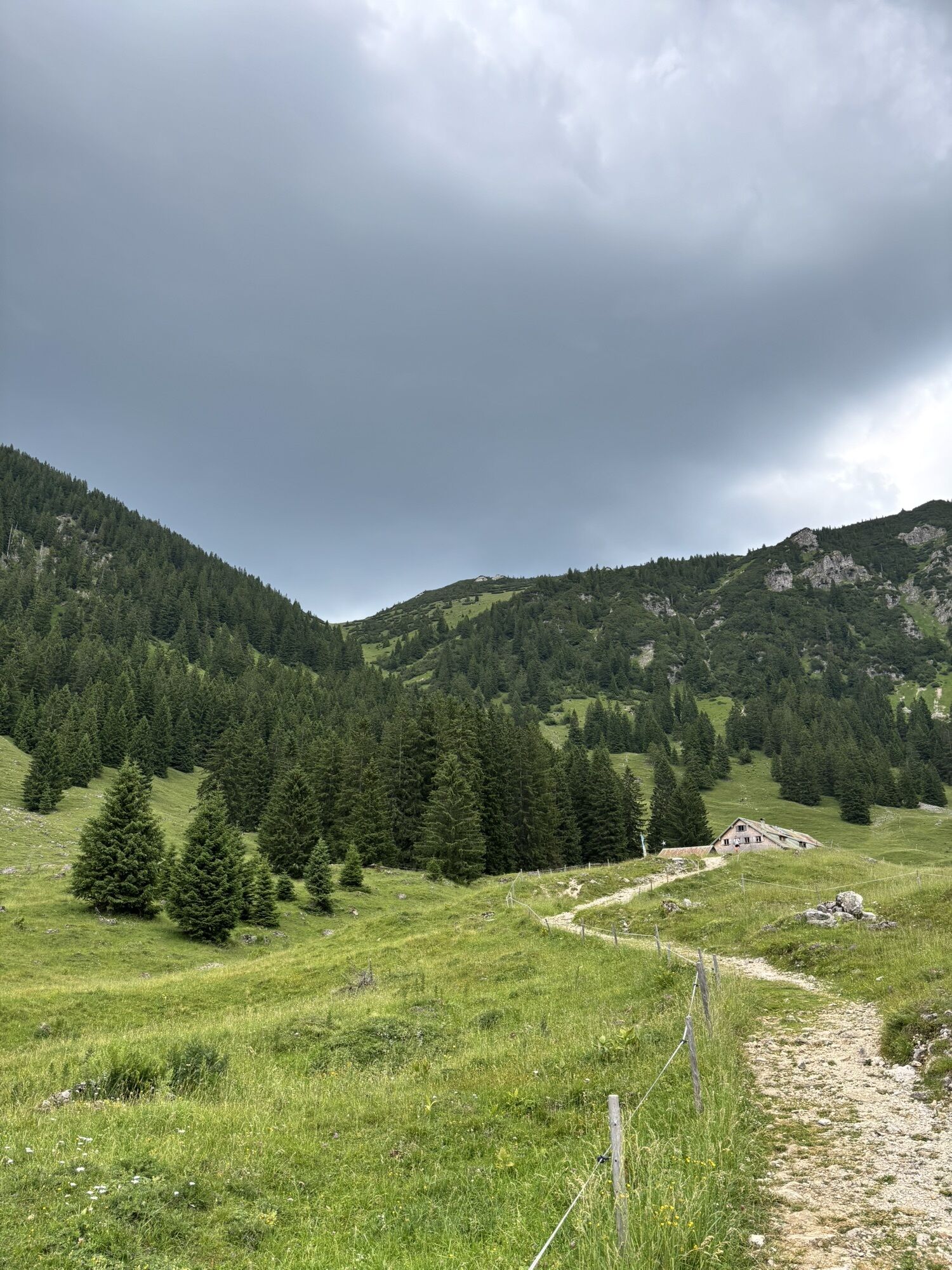
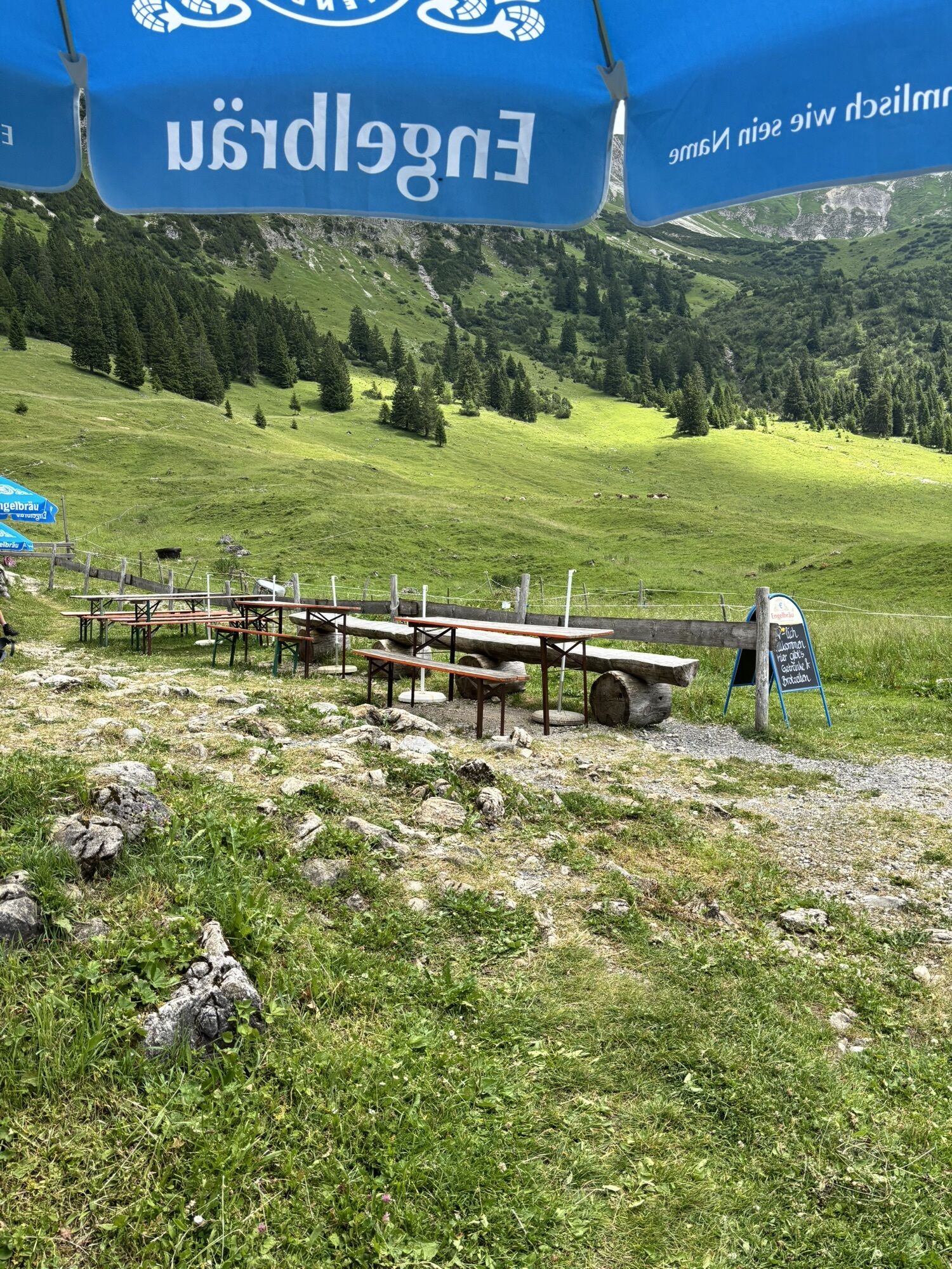
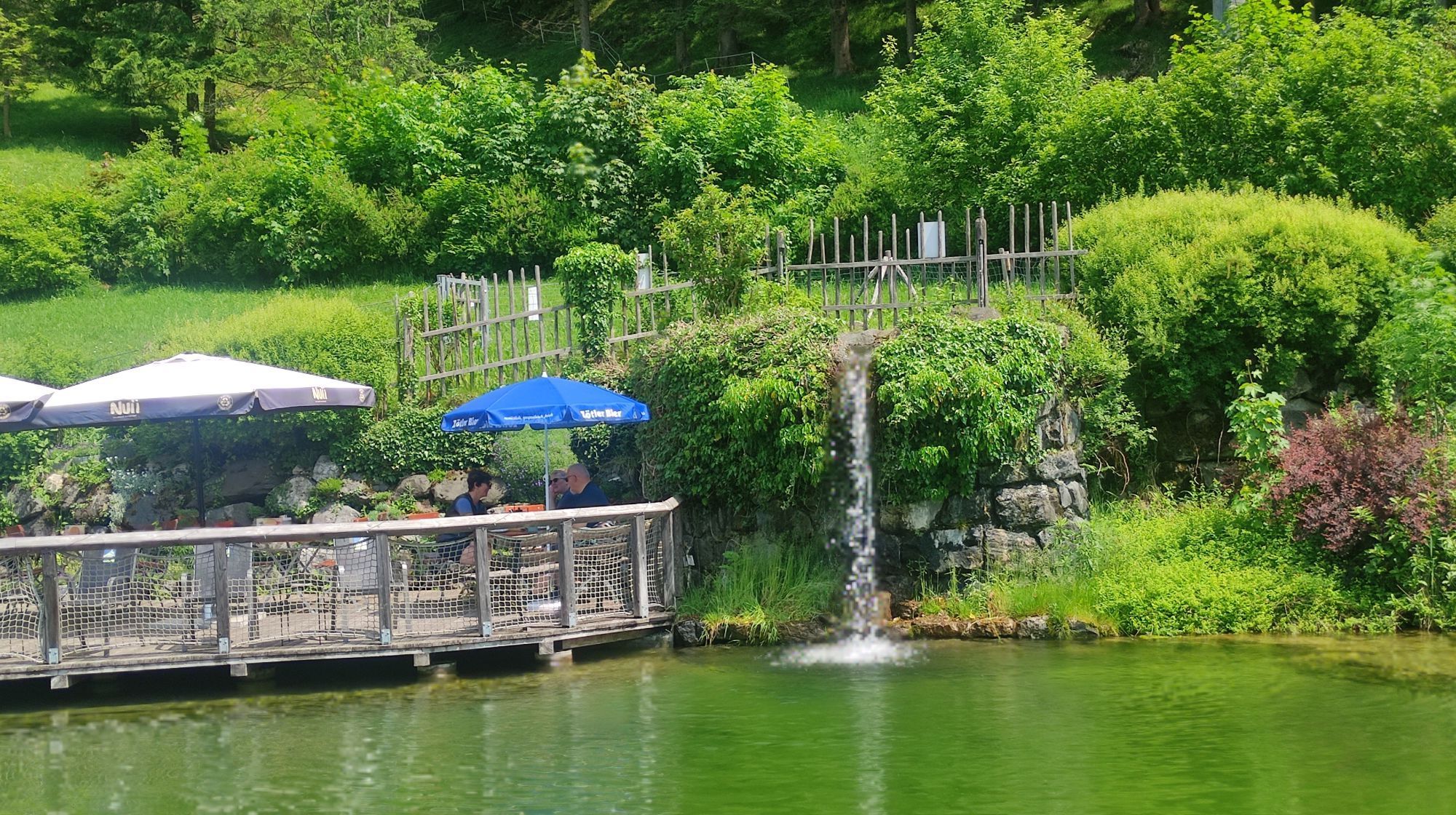
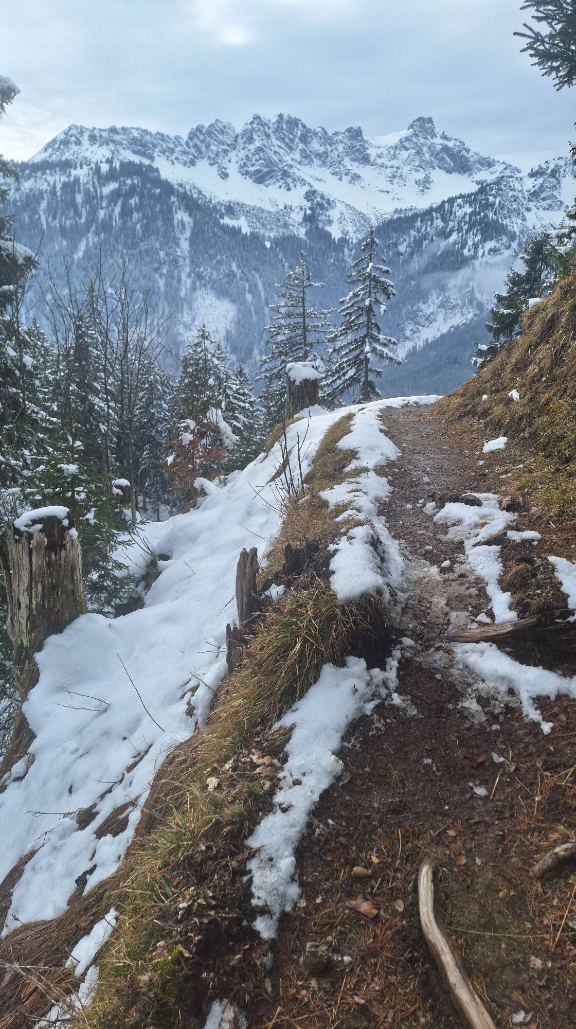
Photos from our users

 © Kay ErlerCreated on 30.07.2021
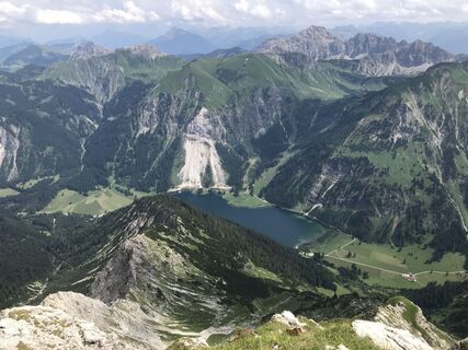 © Kay ErlerCreated on 30.07.2021
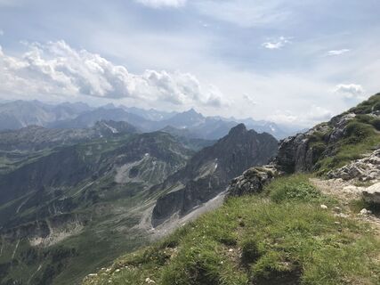 © Kay ErlerCreated on 30.07.2021
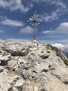 © Kay ErlerCreated on 30.07.2021
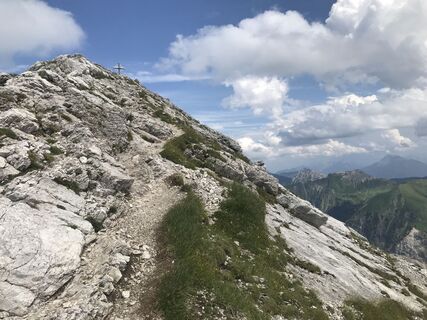 © Kay ErlerCreated on 30.07.2021
 © Doctor MacuseCreated on 22.06.2024
 © Doctor MacuseCreated on 22.06.2024
 © Kay ErlerCreated on 13.07.2025
 © Heiko HarmsCreated on 02.07.2025
 © Heiko HarmsCreated on 02.07.2025
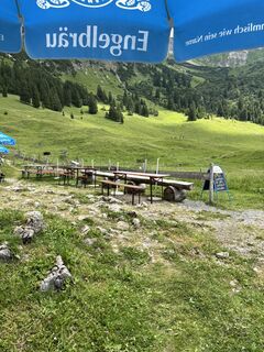 © Heiko HarmsCreated on 02.07.2025
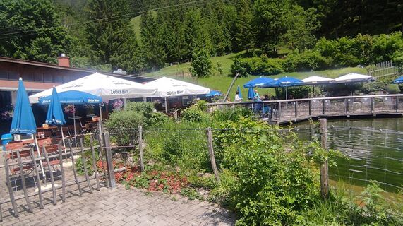 © Gerhard NieblingCreated on 09.06.2025
 © Gerhard NieblingCreated on 09.06.2025
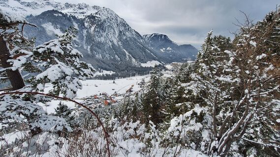
 © Josef Anton KollerCreated on 16.02.2025
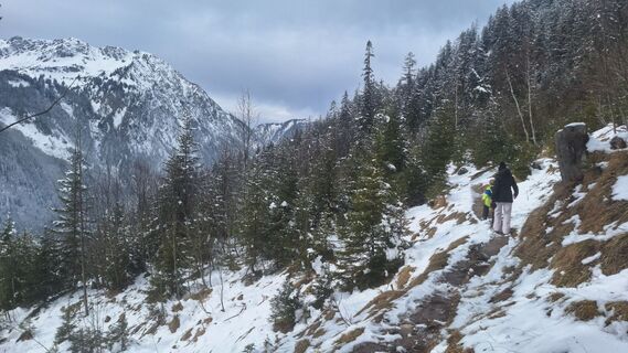 © Josef Anton KollerCreated on 16.02.2025
 © Josef Anton KollerCreated on 16.02.2025
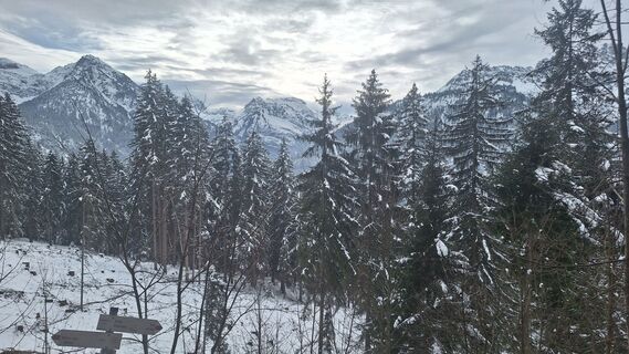 © Josef Anton KollerCreated on 16.02.2025
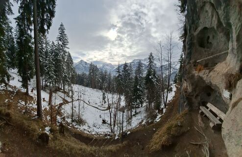 © Josef Anton KollerCreated on 16.02.2025
 © Josef Anton KollerCreated on 16.02.2025
 © Josef Anton KollerCreated on 16.02.2025
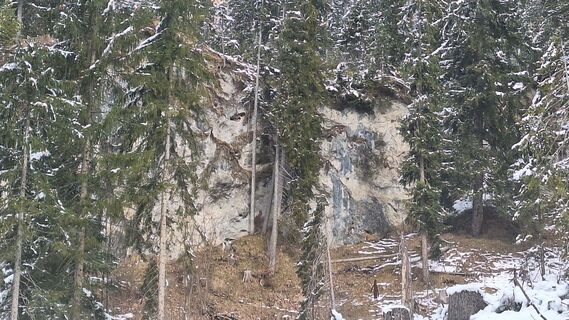 © Josef Anton KollerCreated on 16.02.2025
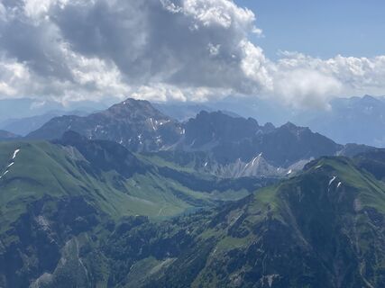
 © Berthold FrießCreated on 27.06.2020
 © Berthold FrießCreated on 27.06.2020
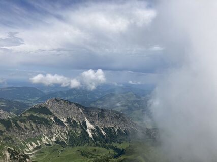 © Berthold FrießCreated on 27.06.2020
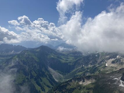 © Berthold FrießCreated on 27.06.2020
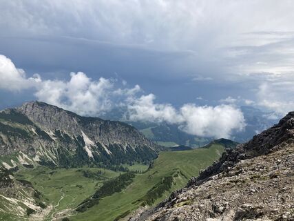 © Berthold FrießCreated on 27.06.2020
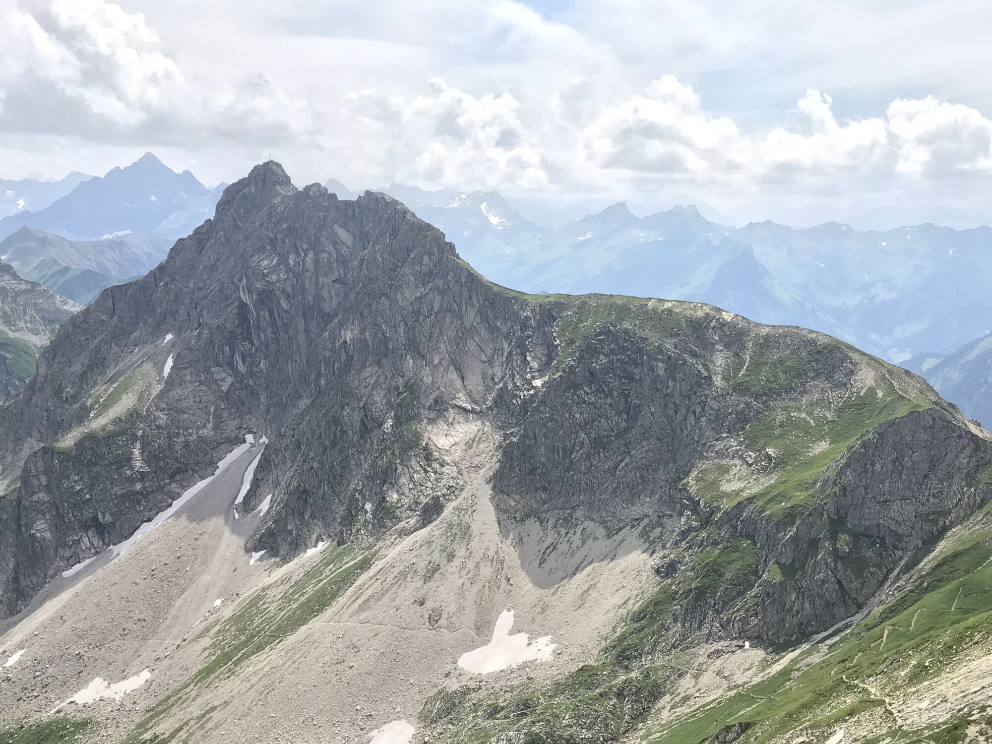

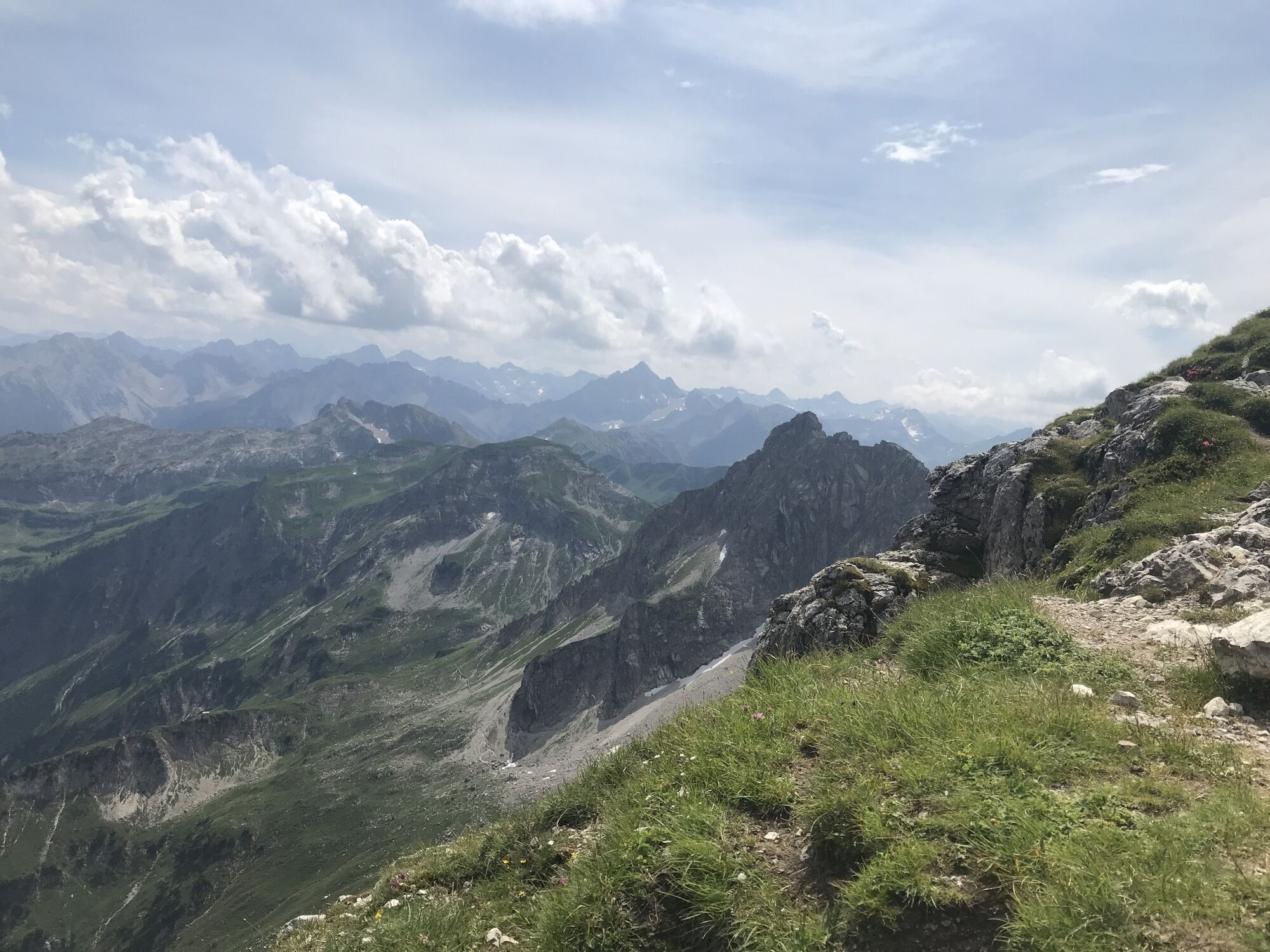


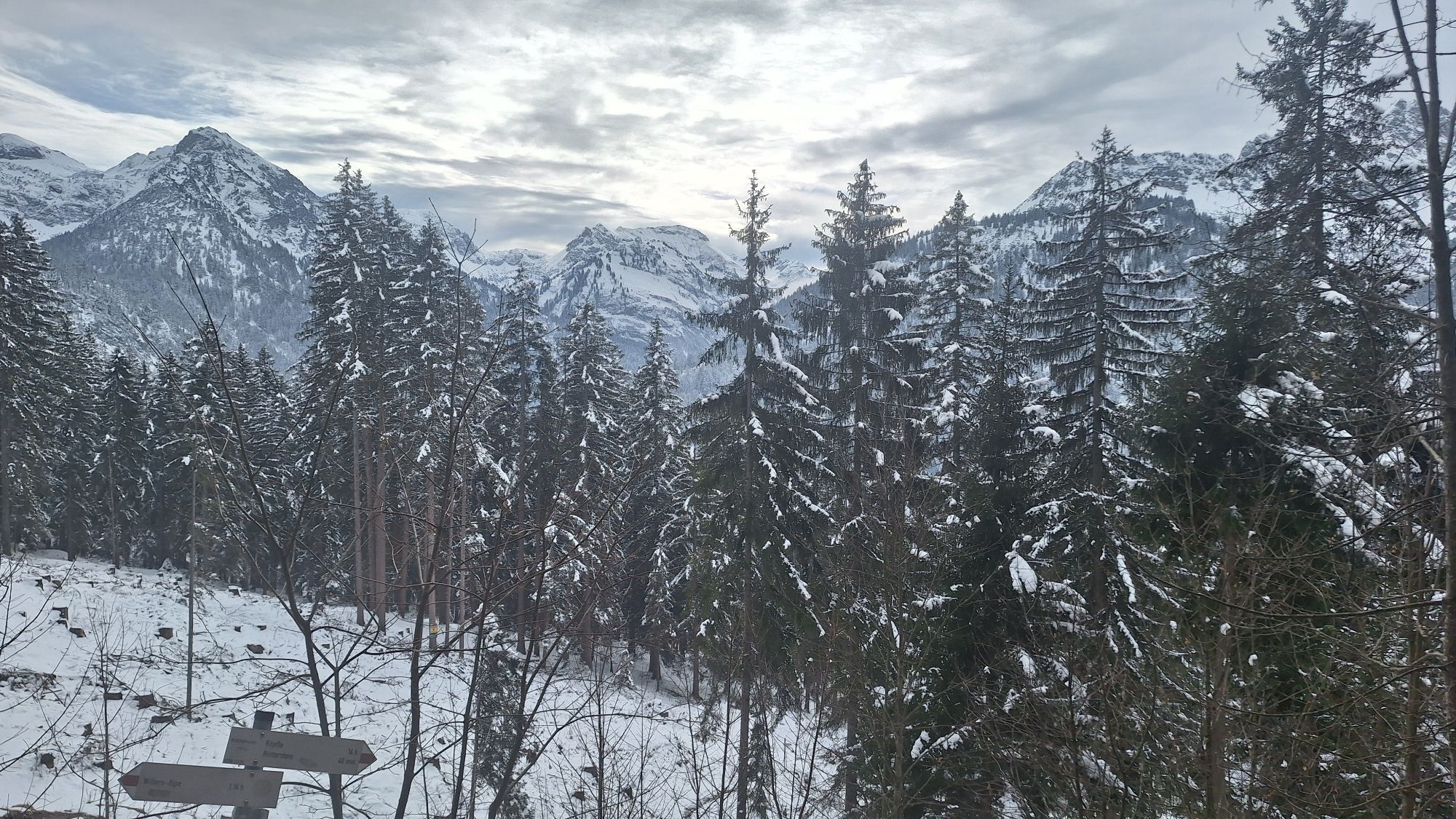

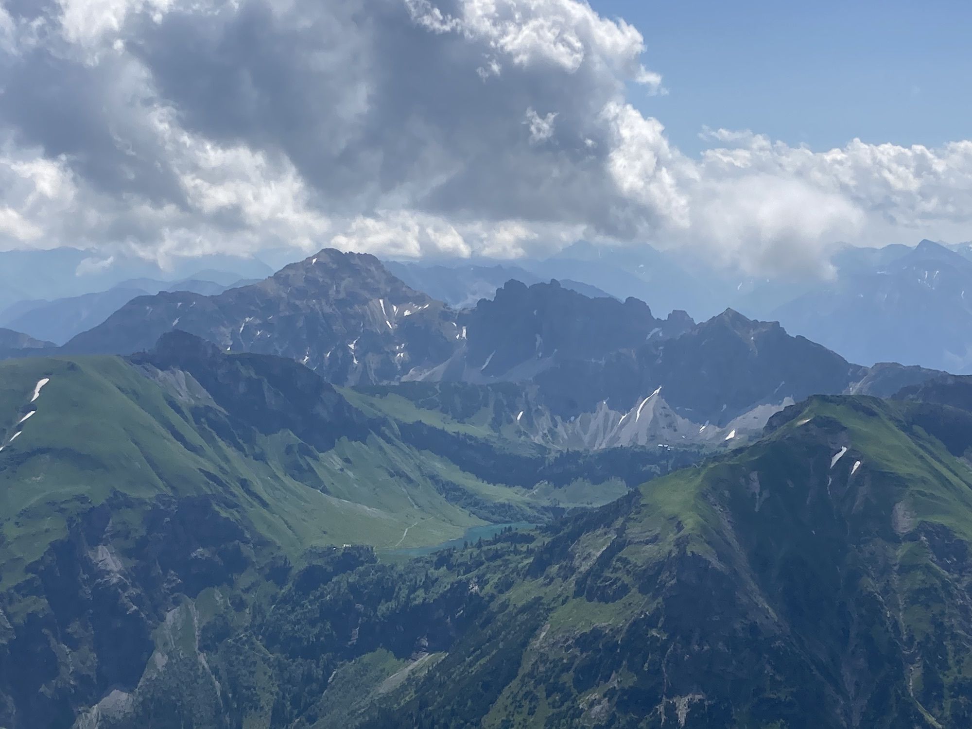
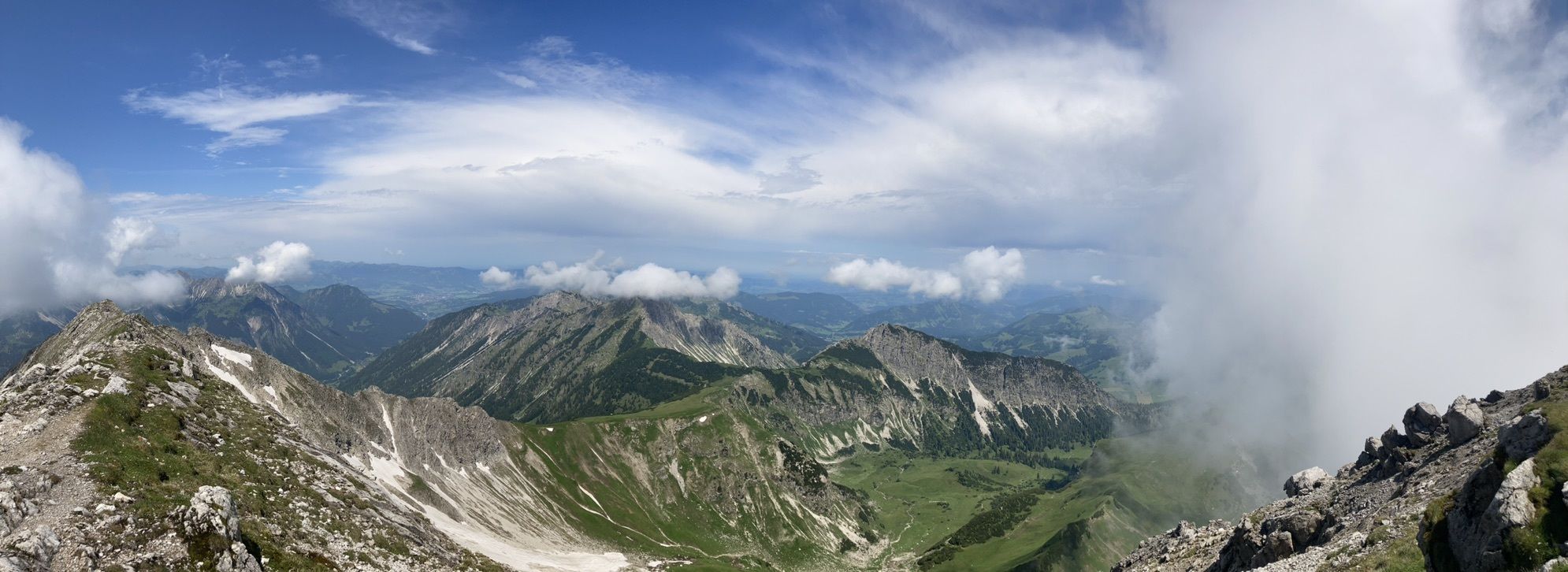


Anspruchsvolle Tagestour. Trittsicherheit erforderlich am Grat und auf den Schneefeldern. Für die leichten Klettersteig-Passagen sind Handschuhe empfohlen. Sehr schöne Aussicht vom Gaishorn. Wer sich unterfordert...
Description of the
Anspruchsvolle Tagestour.
Trittsicherheit erforderlich am Grat und auf den Schneefeldern. Für die leichten Klettersteig-Passagen sind Handschuhe empfohlen. Sehr schöne Aussicht vom Gaishorn. Wer sich unterfordert fühlt, kann noch einen Abstecher aufs Rauhorn hinzufügen.
Route
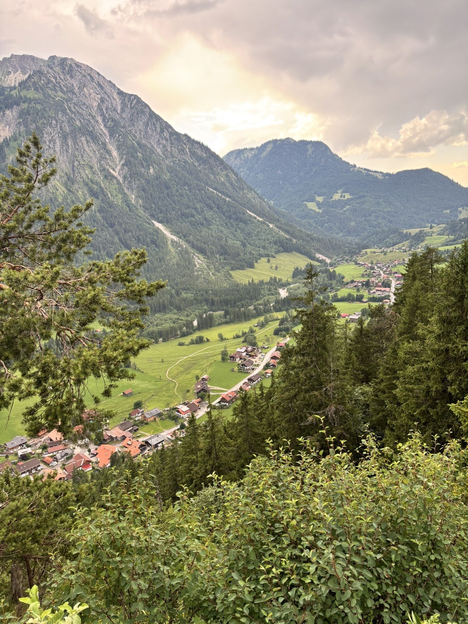
Hinterstein
(863 m)
Village
0,0 km
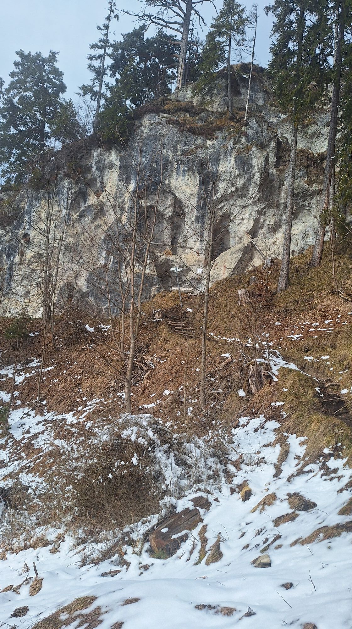
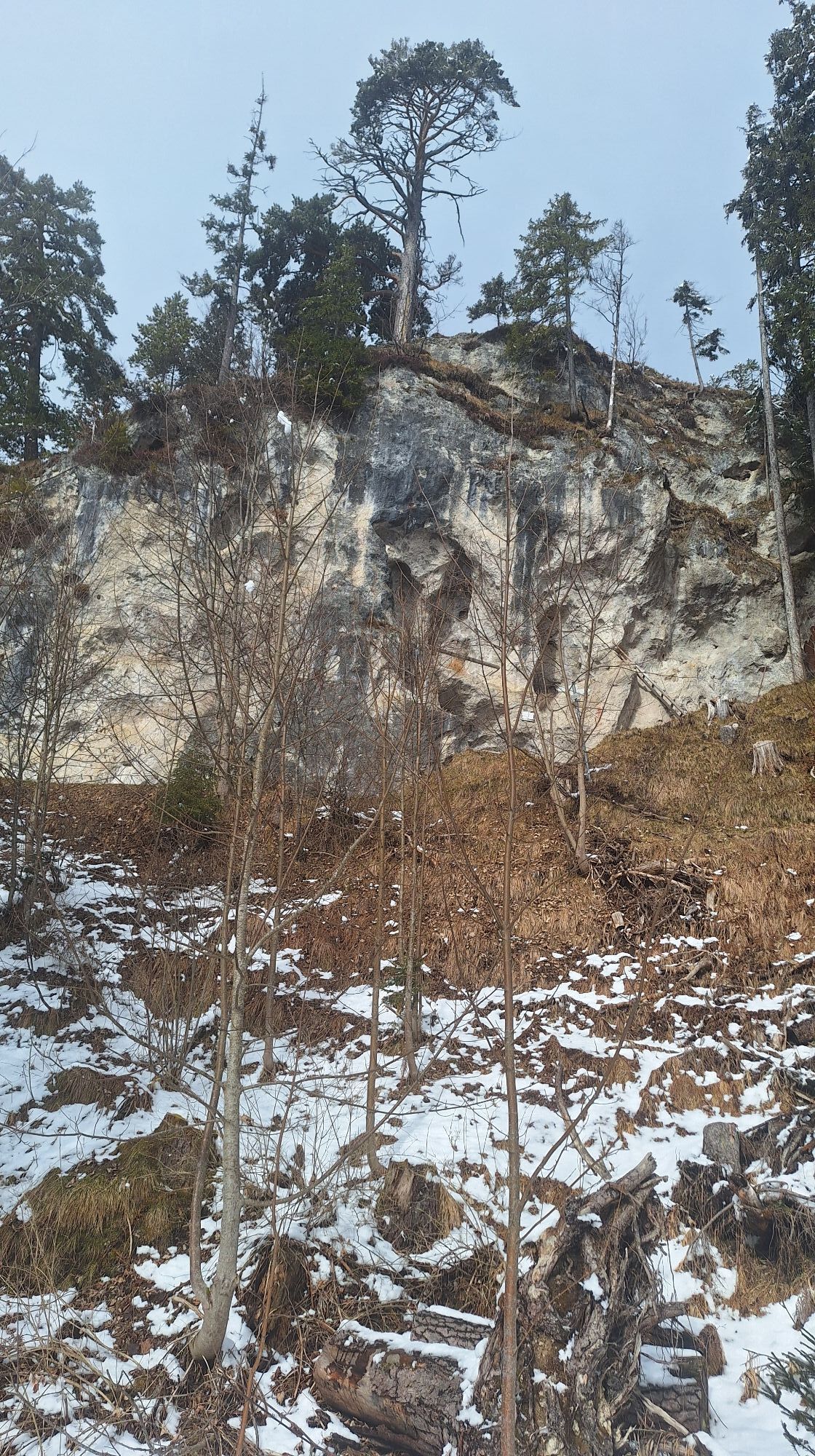
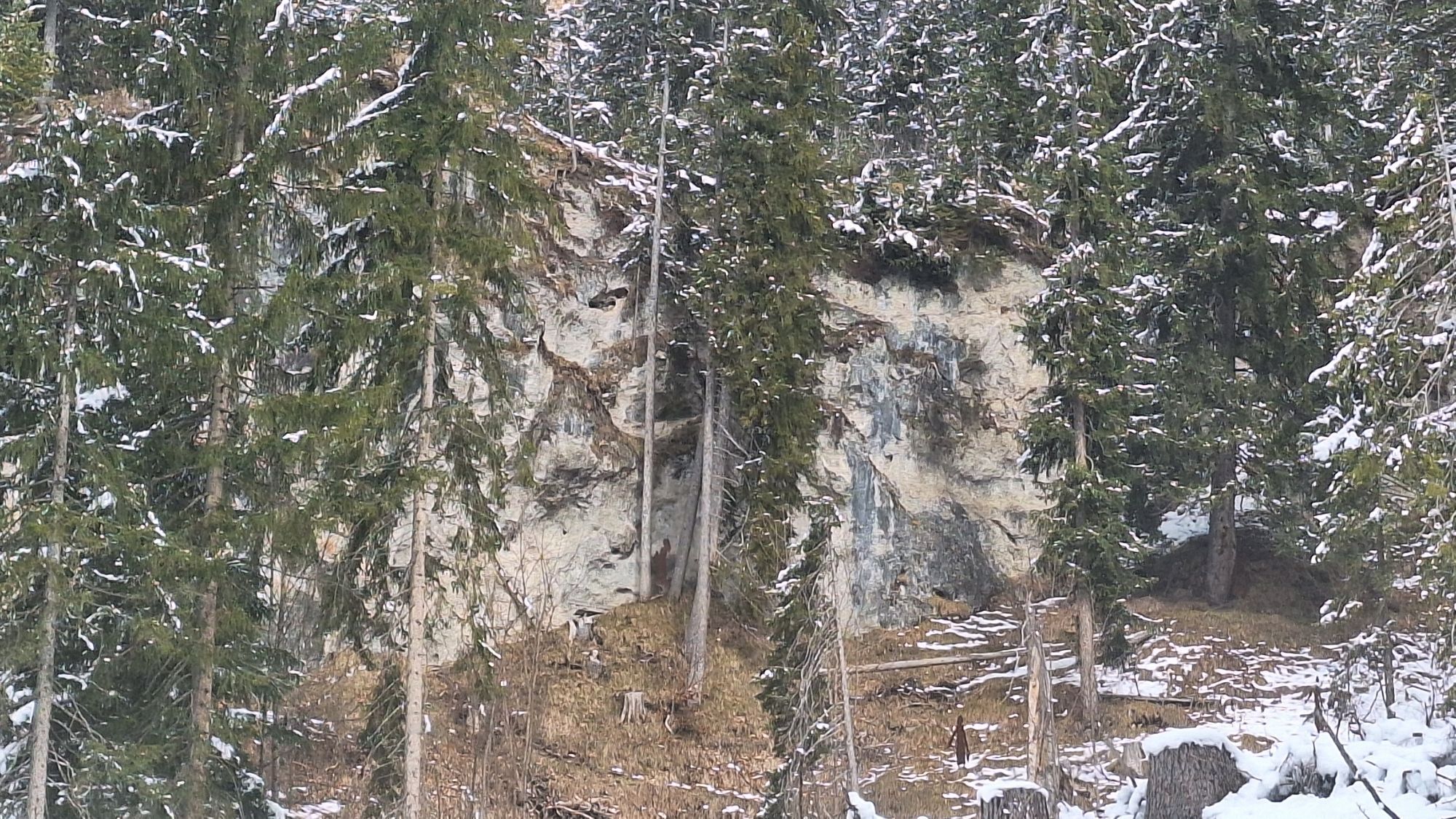
Wildfräuleinstein
(1.130 m)
Cave entrance
2,4 km
Kreuzbichel
(1.444 m)
Summit
4,8 km
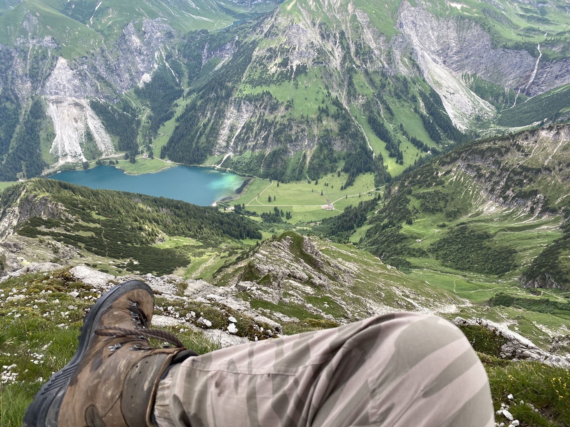
Willersalpe
(1.458 m)
Shelter
5,7 km
Gaiseck
(2.212 m)
Summit
8,9 km
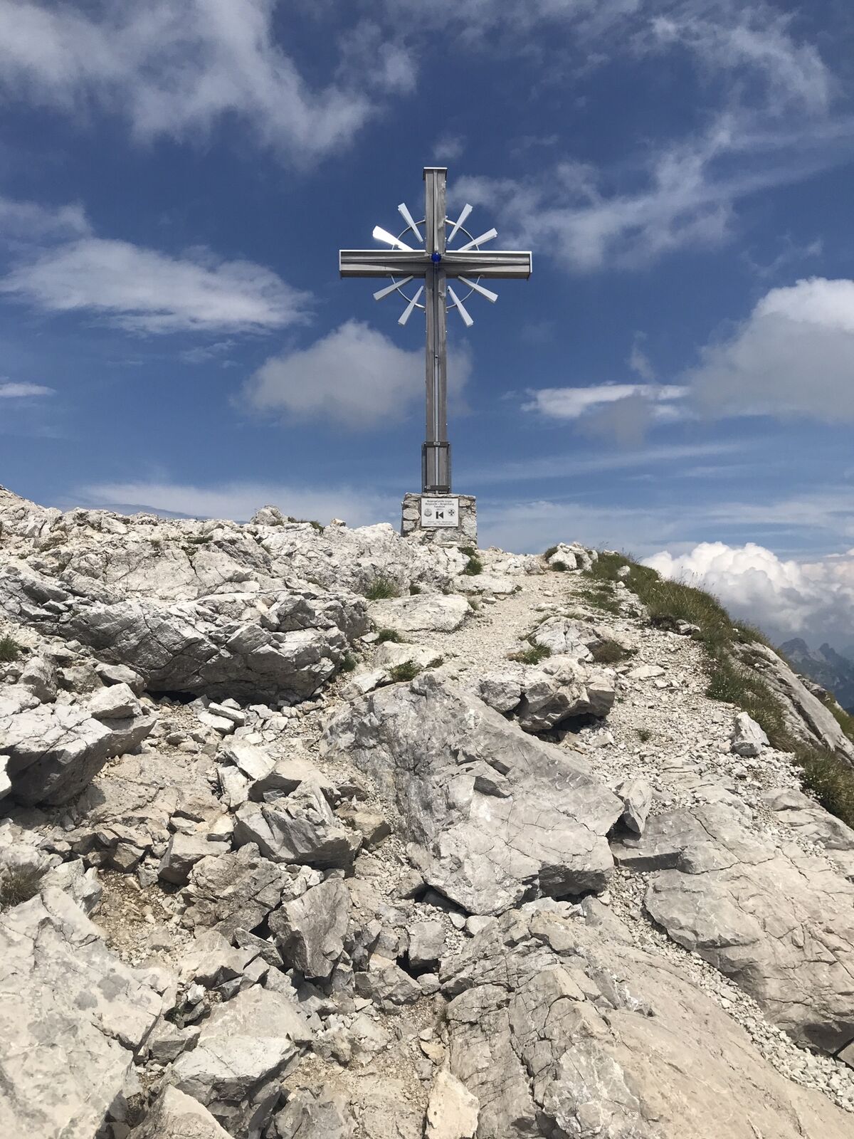
Gaishorn
(2.247 m)
Summit
9,4 km
Hinterstein
(863 m)
Village
18,3 km
Route
Hinterstein Kirche, Willersalpe, Zirleseck, Gaishorn und zurück
medium
High tour
18,47
km
Hinterstein
(863 m)
Village
0,0 km
Zipfelsfall
(1.003 m)
Waterfall
0,1 km
Prinze Gumpe Restaurant
(879 m)
Restaurant
0,2 km
Aussicht Köpfle
(1.089 m)
Viewpoint
1,7 km
Wildfräuleinstein
(1.130 m)
Cave entrance
2,4 km
Kreuzbichel
(1.444 m)
Summit
4,8 km
Willersalpe
(1.458 m)
Shelter
5,7 km
Willersalpe
(1.458 m)
Restaurant
5,8 km
Köllesattel
(1.825 m)
Mountain saddle
7,2 km
Gaiseck
(2.212 m)
Summit
8,9 km
Gaishorn
(2.247 m)
Summit
9,4 km
Willersalpe
(1.458 m)
Restaurant
13,2 km
Wildfräuleinstein
(1.130 m)
Cave entrance
15,7 km
Aussicht Köpfle
(1.089 m)
Viewpoint
16,7 km
Prinze Gumpe Restaurant
(879 m)
Restaurant
18,1 km
Hinterstein
(863 m)
Village
18,3 km


Arrival information
Parking
Parkster App Zone 87555
Hinterstein Festhalle / Kirche
No reviews yet
Popular tours in the neighbourhood
- 4,2
Three-lake route (awarded the Tyrolean Hiking Trail Seal of Quality)
mediumHiking14,8 km - 4,6
3-Seen Rundtour Vilsalpsee / Schrecksee / Traualpsee
mediumHiking17,1 km - 4,6
Rubihorn
mediumHiking9,06 km - 4,4
Wanderung auf den grünten
mediumHiking8,31 km - 4,8
3-Gipfel-Tour
mediumHiking11,2 km - 4,5
Mountain hike to the Aggenstein
heavyHiking15,3 km - 4,0
From Tannheim to the Sulzspitze
mediumHiking15,6 km - 5,0
Hiking tour to Breitenberg
heavyHiking15,6 km - 5,0
Gemeinde Grän, Tirol/Österreich Aggenstein Rundtour über Höhenweg
mediumHiking9,84 km - 4,8
To the Bad Kissinger Hut via the Gräner Höhenweg
mediumHiking13,0 km
Hiking & Tracking

Over 550.000 tour suggestions, detailed maps and an intuitive route planner make the app a must-have for all nature enthusiasts.

Don't miss out on offers and inspiration for your next holiday
Subscribe to the newsletter
Error
An error has occurred. Please try again.Thank you for your registration
Your e-mail address has been added to the mailing list.
Tours throughout Europe
Austria Switzerland Germany Italy Slovenia France Netherlands Belgium Poland Liechtenstein Czechia Slovakia Spain Croatia Bosnia and Herzegovina Luxembourg Andorra Portugal Iceland United Kingdom Ireland Greece Albania North Macedonia Malta Norway Montenegro Moldova Kosovo Hungary San Marino Romania Estonia Latvia Belarus Cyprus Lithuania Serbia Bulgaria Monaco Denmark Sweden Finland