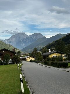
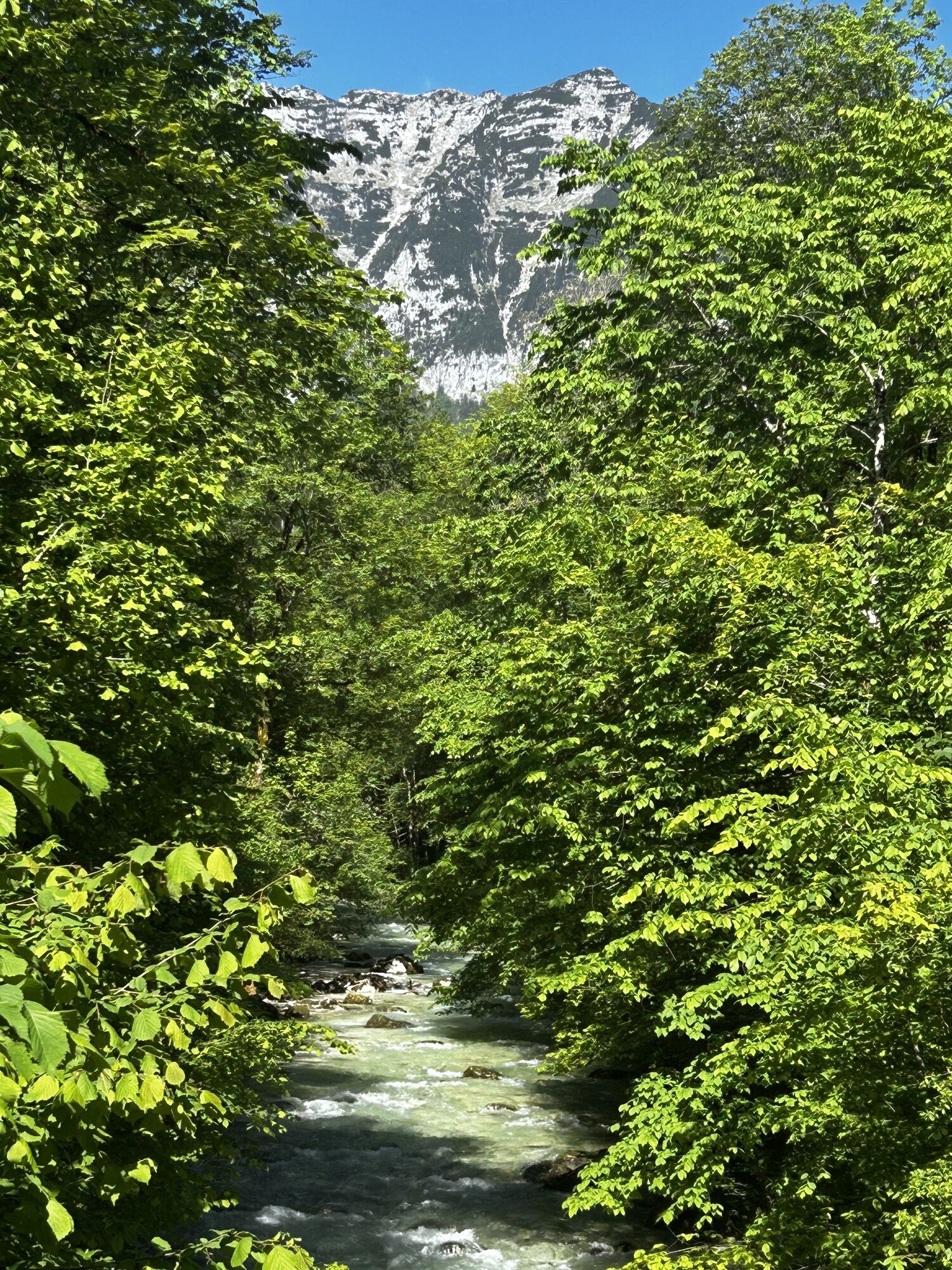
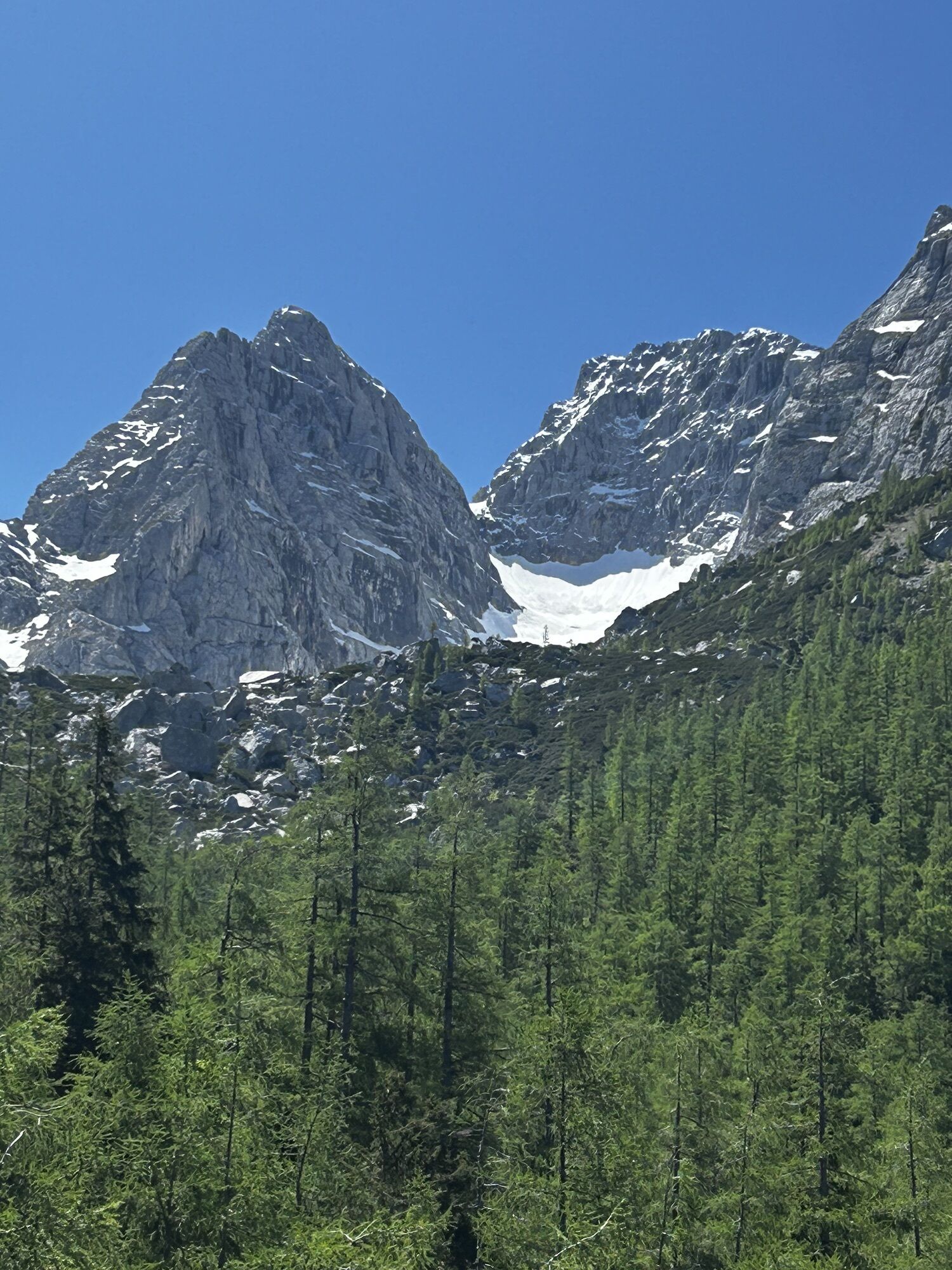
Ramsau - Blaueishütte - Hintesee
medium
Navigate
Navigate
Get this tour on your mobile
Ramsau - Blaueishütte - Hintesee
medium
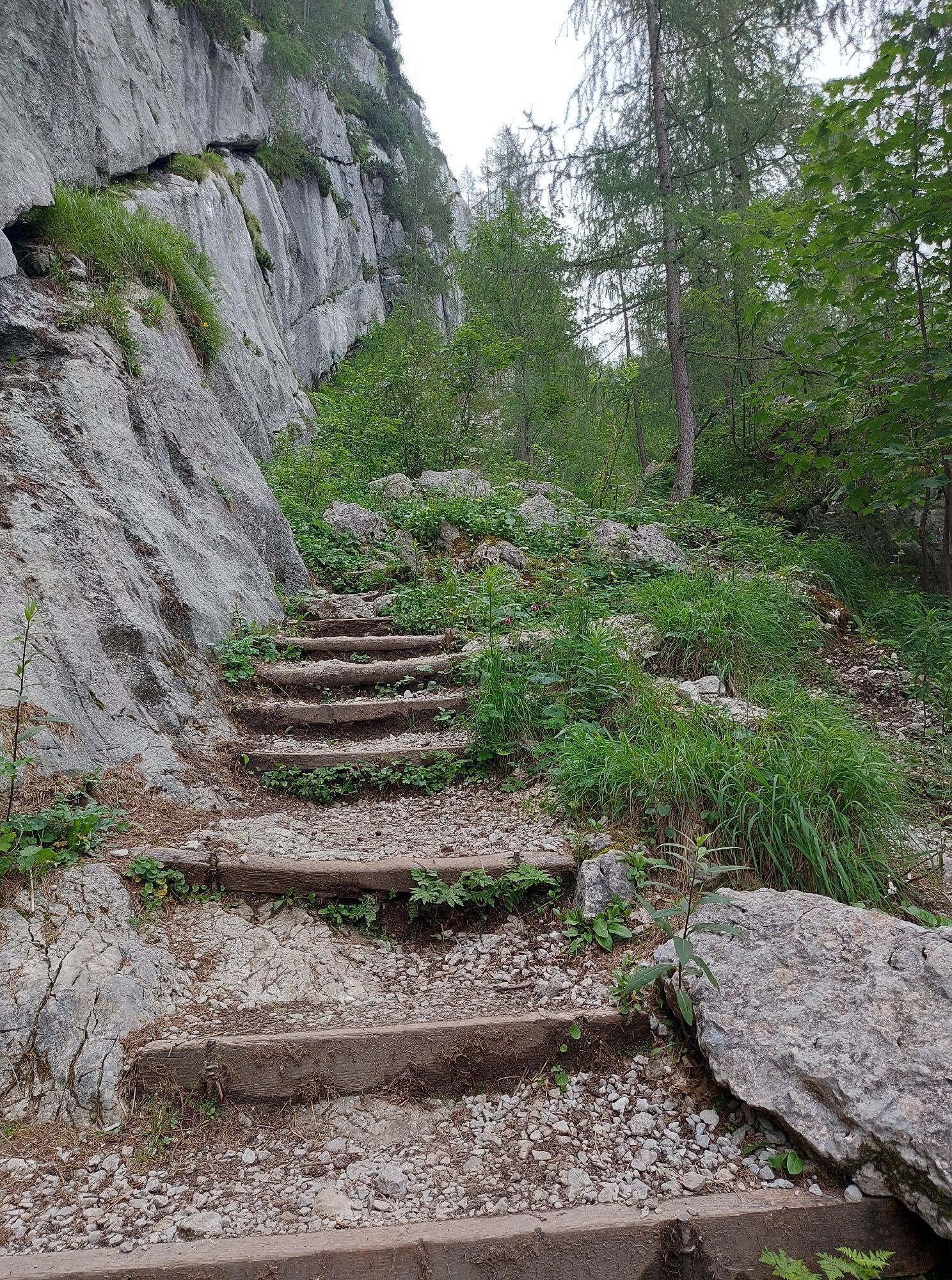
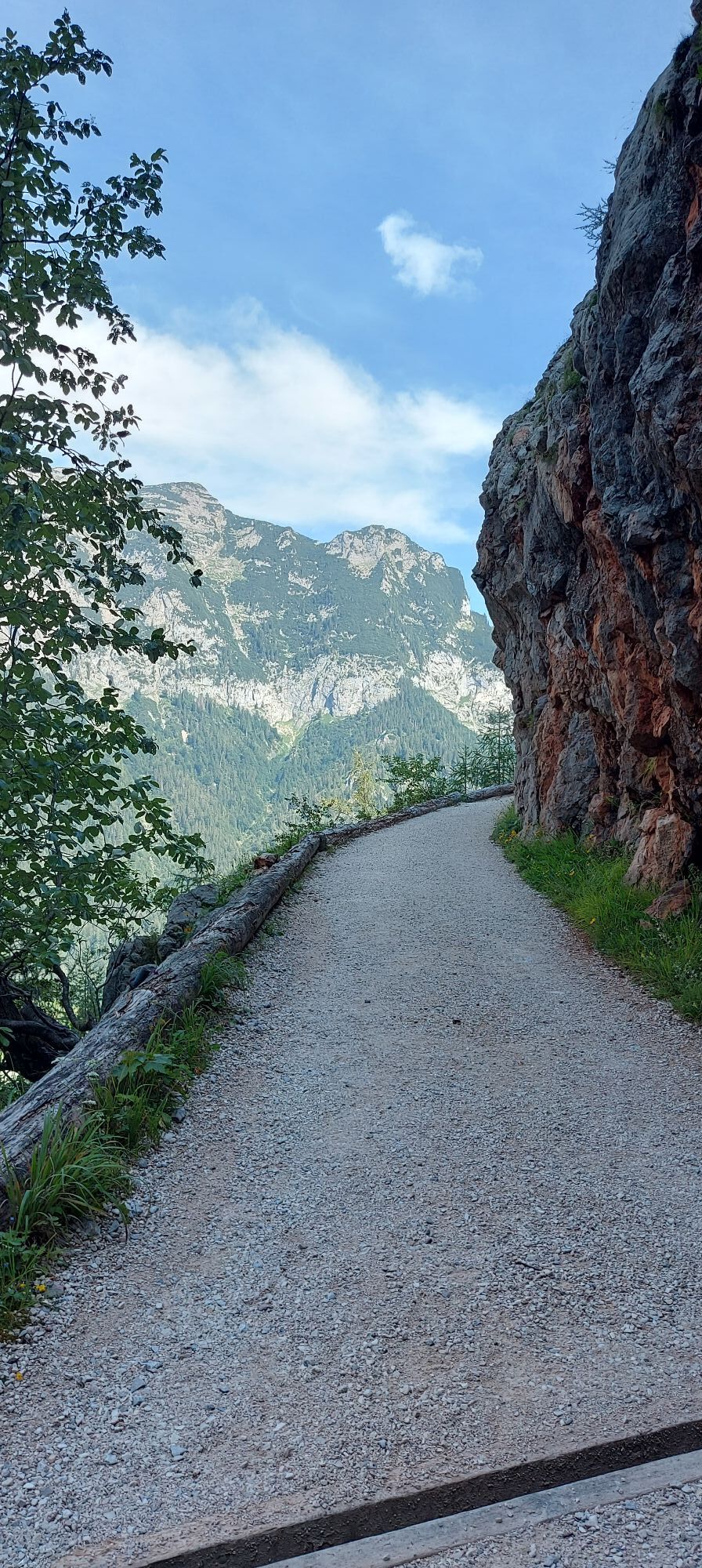
Mountain hiking
12,11
km
Scan the QR code and start navigation in the bergfex app

Hiking & Tracking


Distance
12,11
km
Duration
03:28
h
Ascent
999
m
Sea level
673 -
1.652
m
Track download
Ramsau - Blaueishütte - Hintesee
medium
Mountain hiking
12,11
km


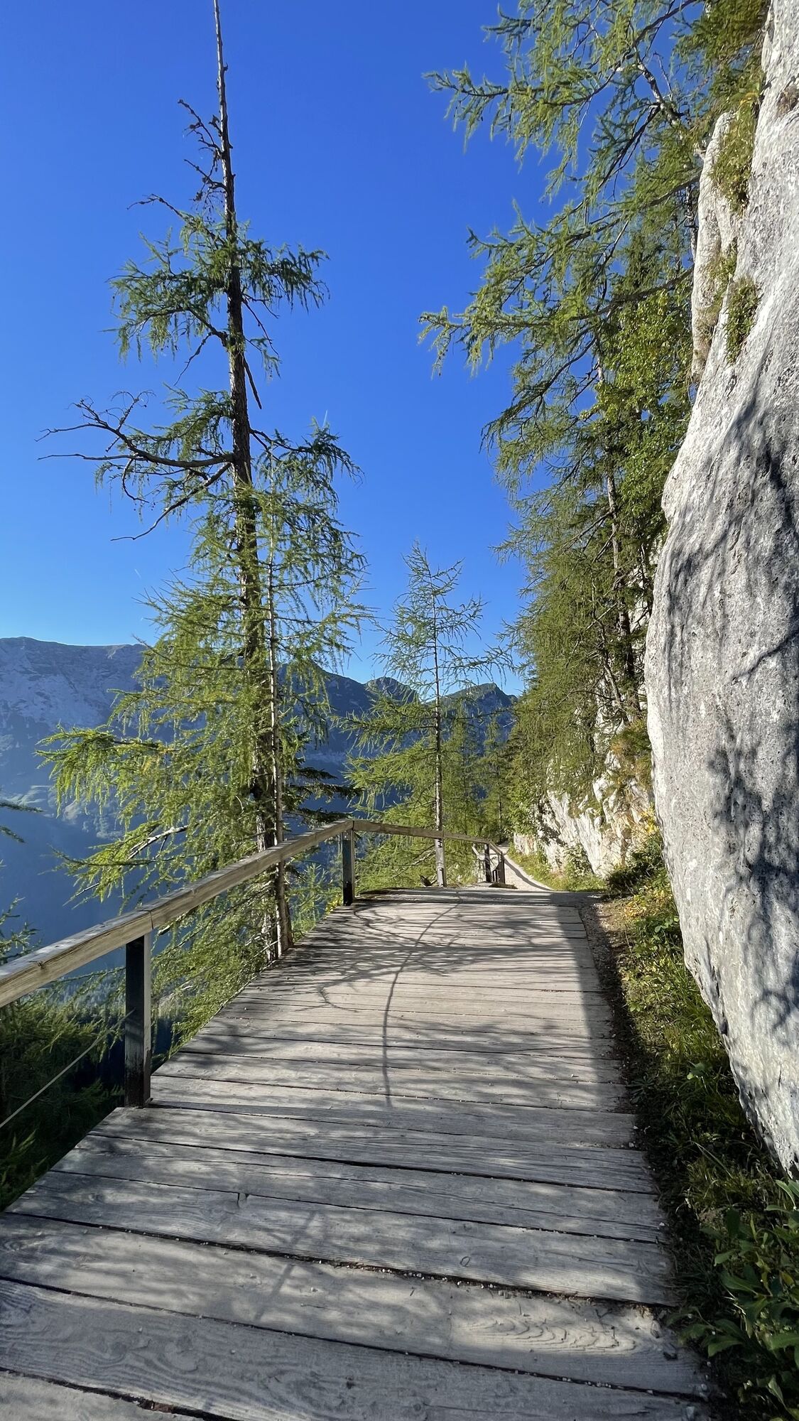
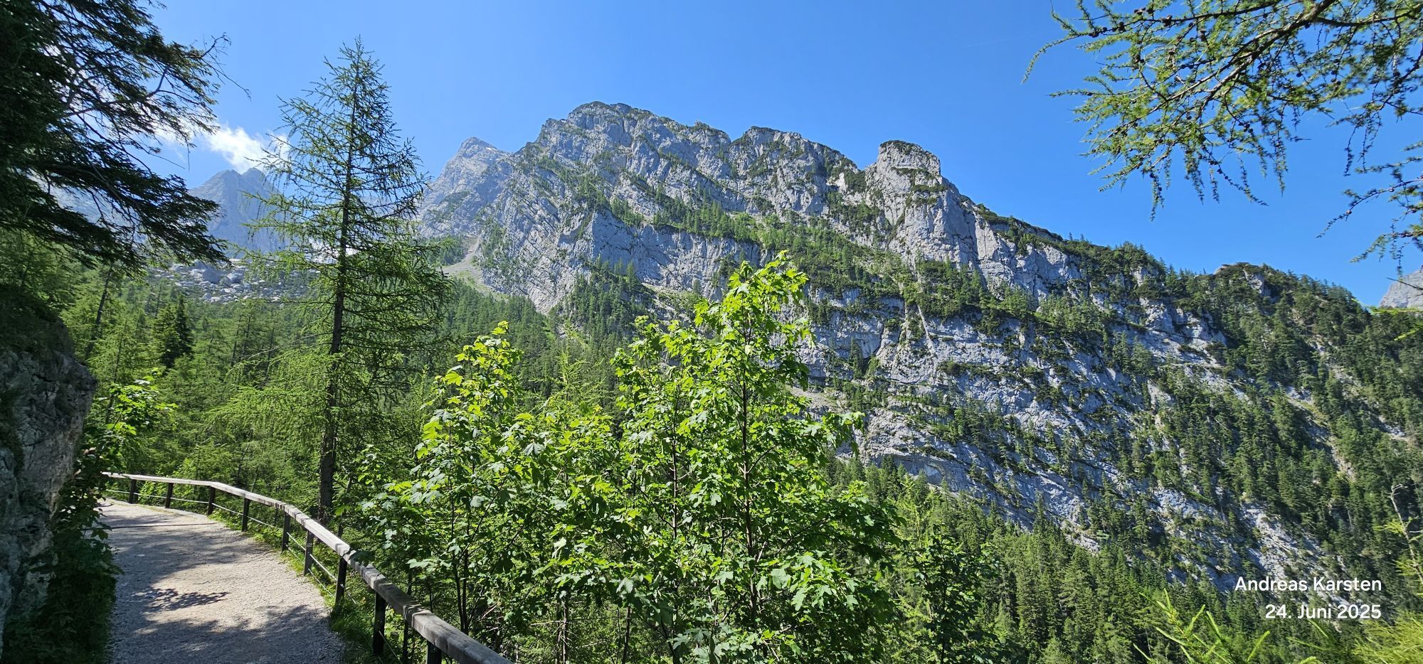
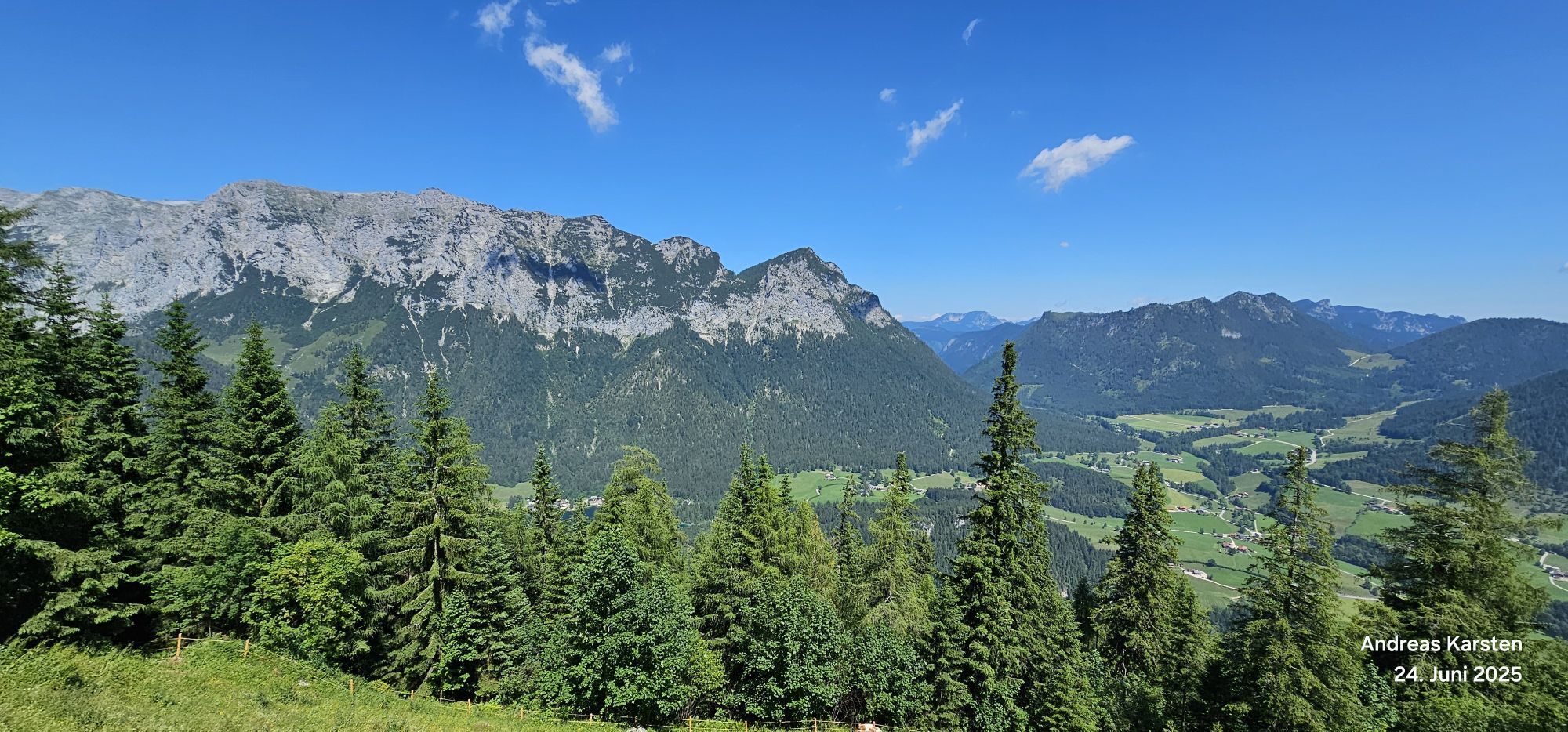
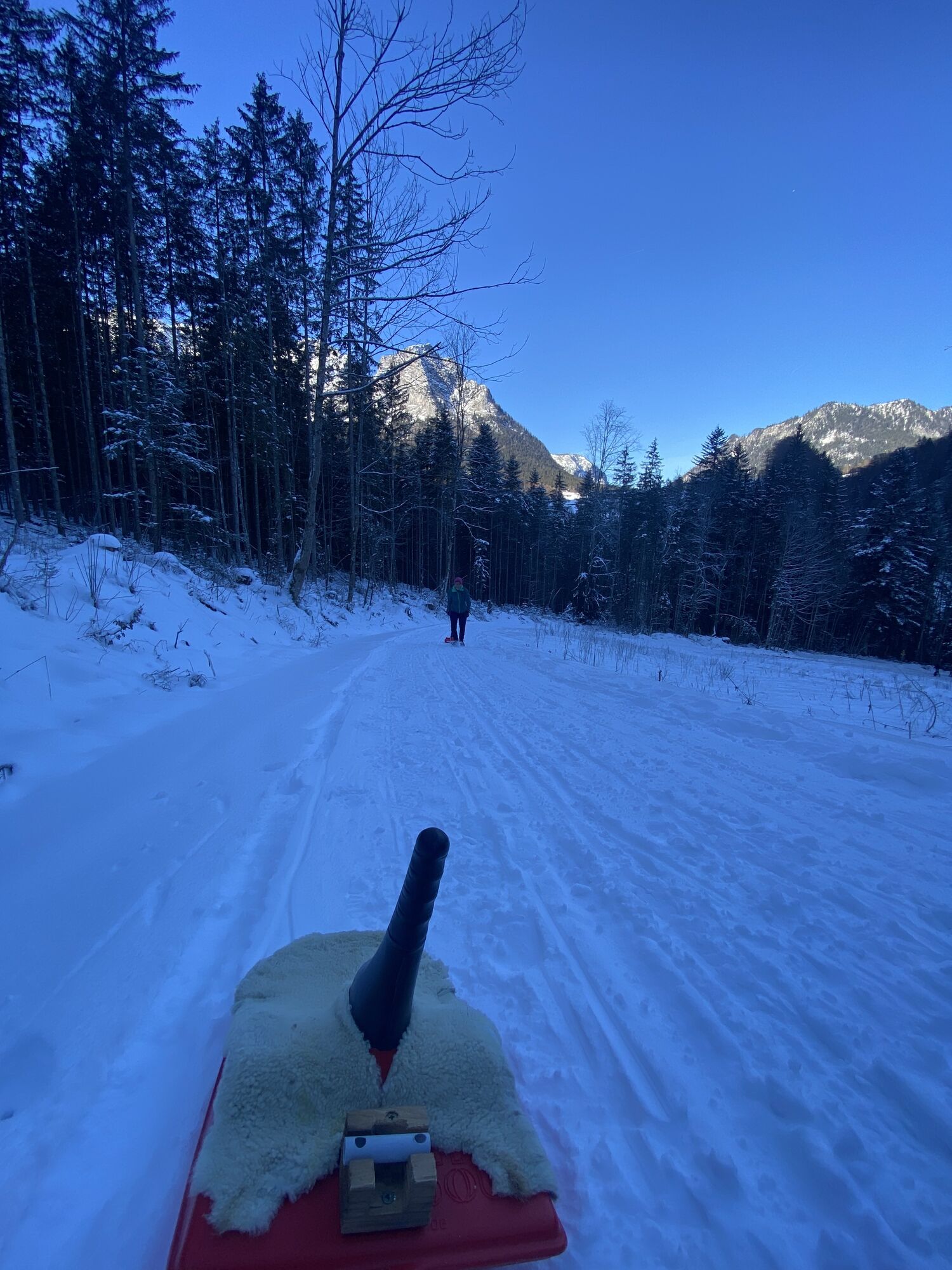
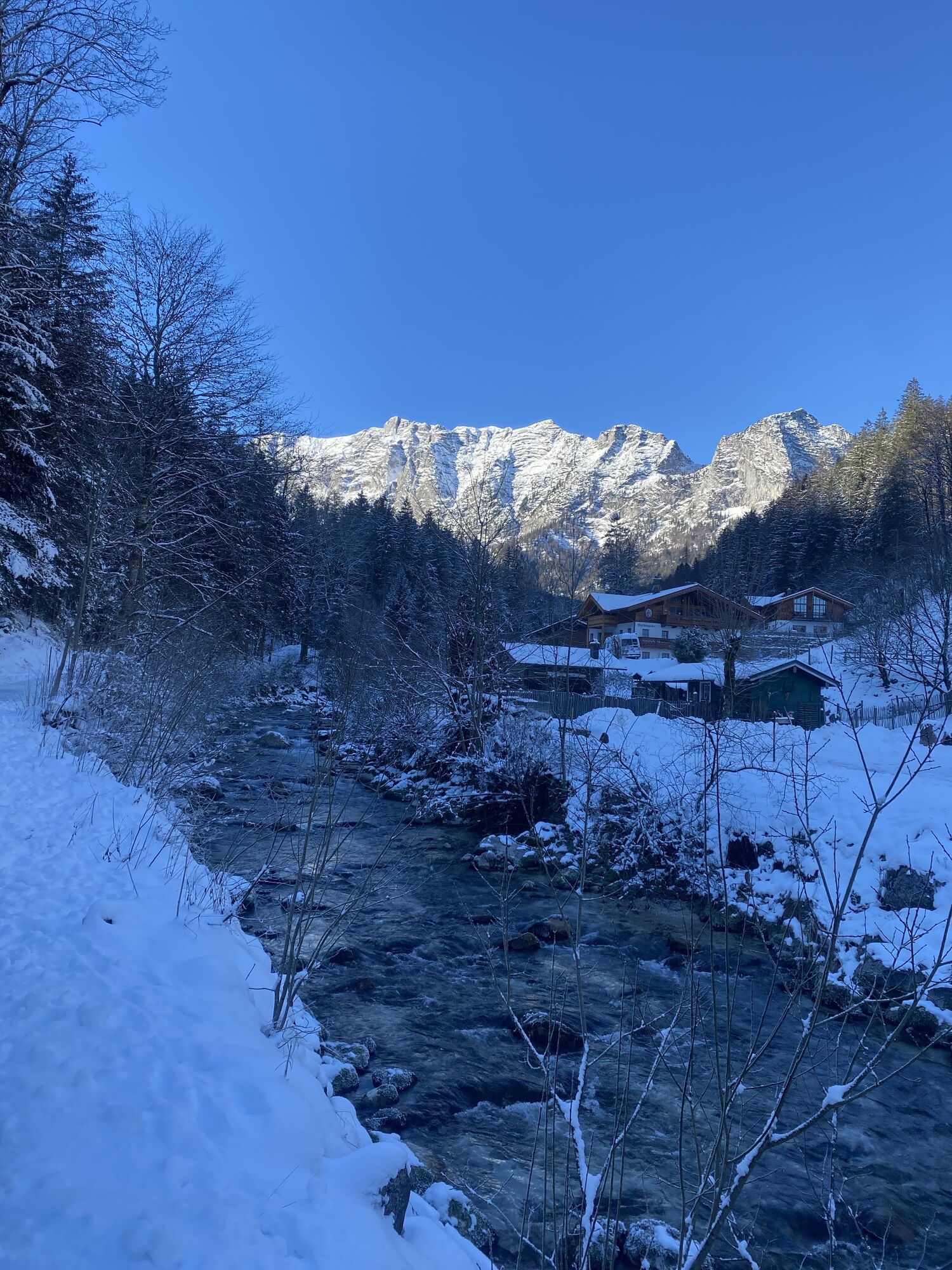
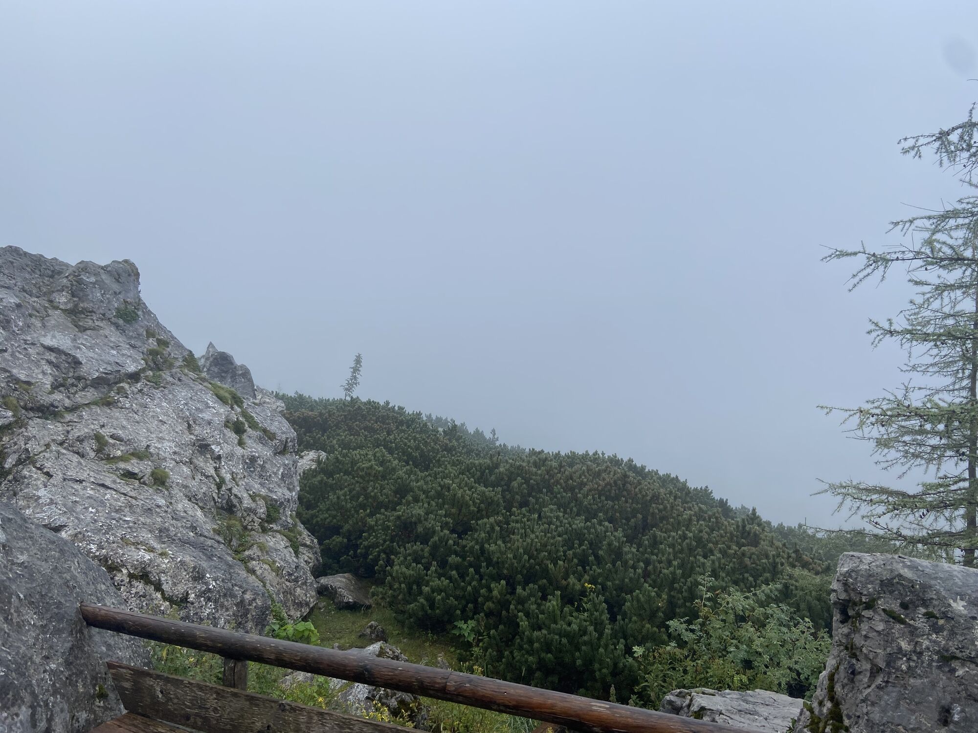
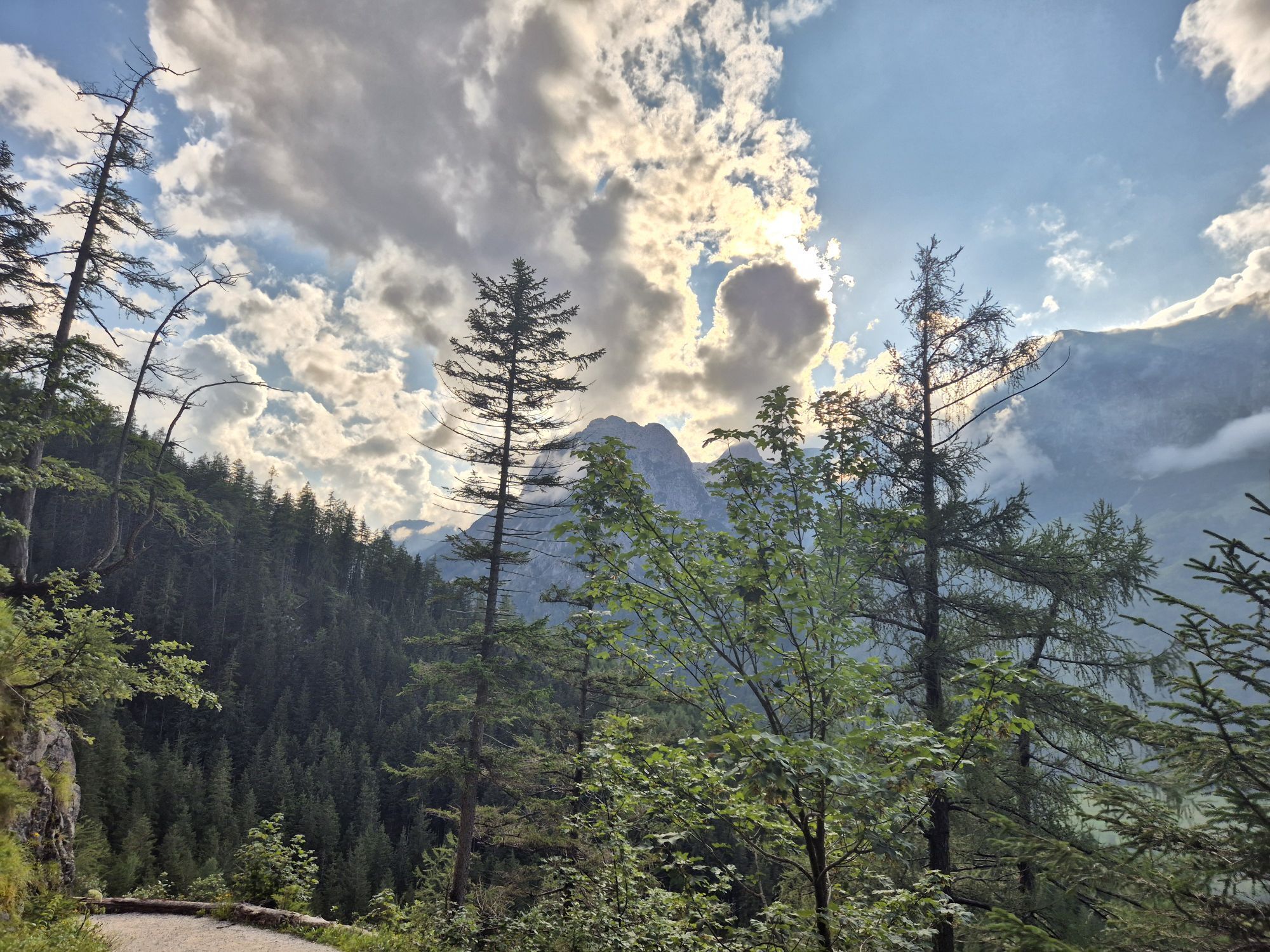
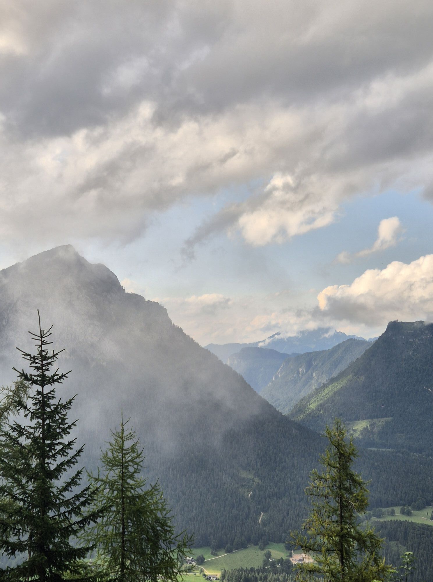
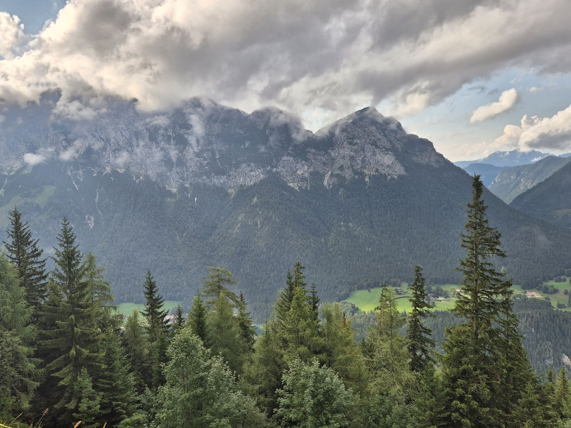
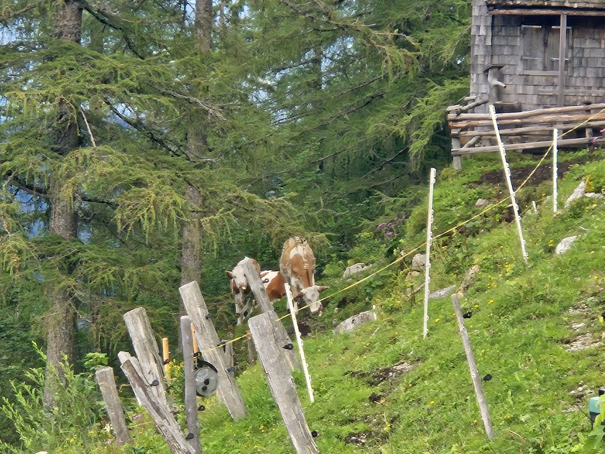
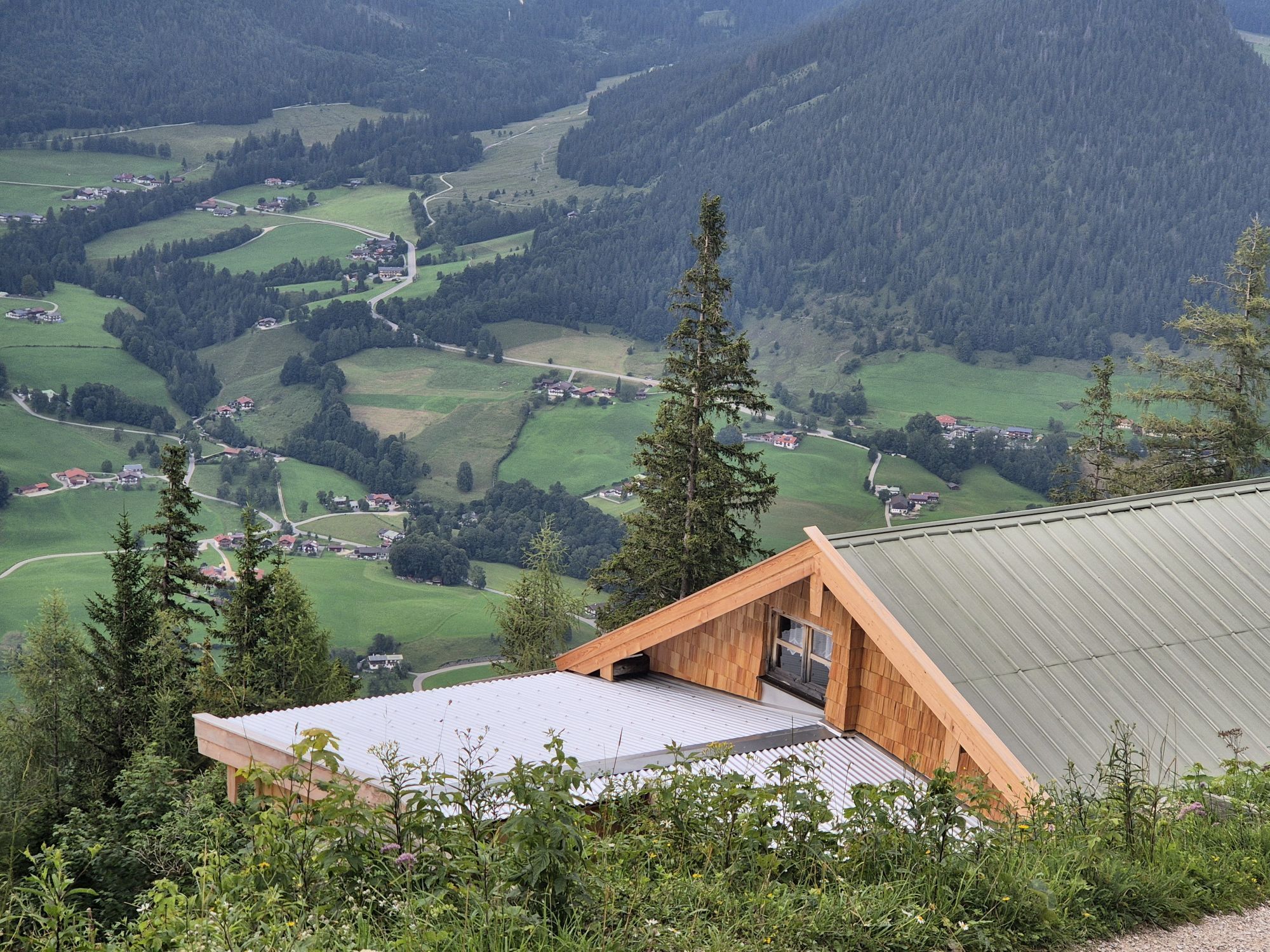
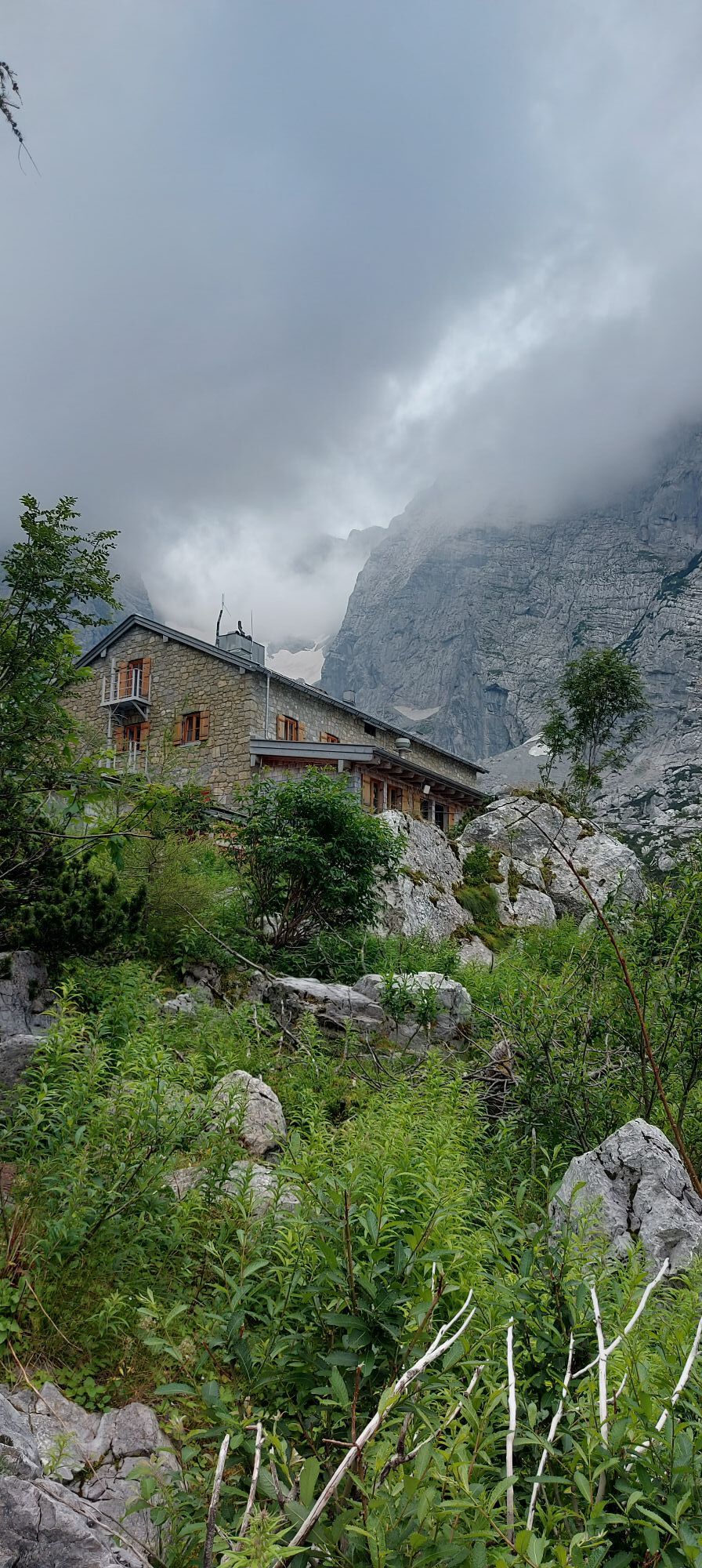
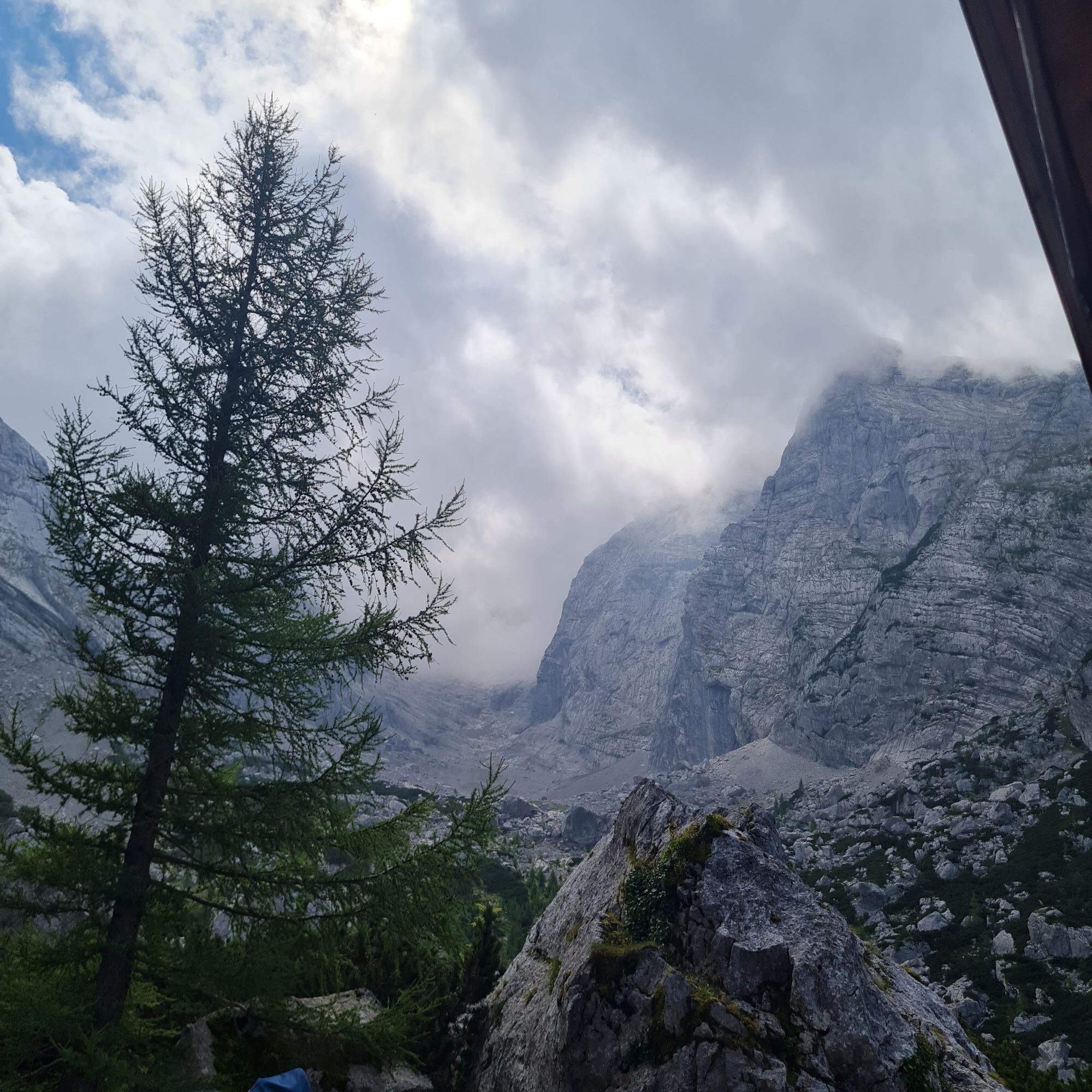
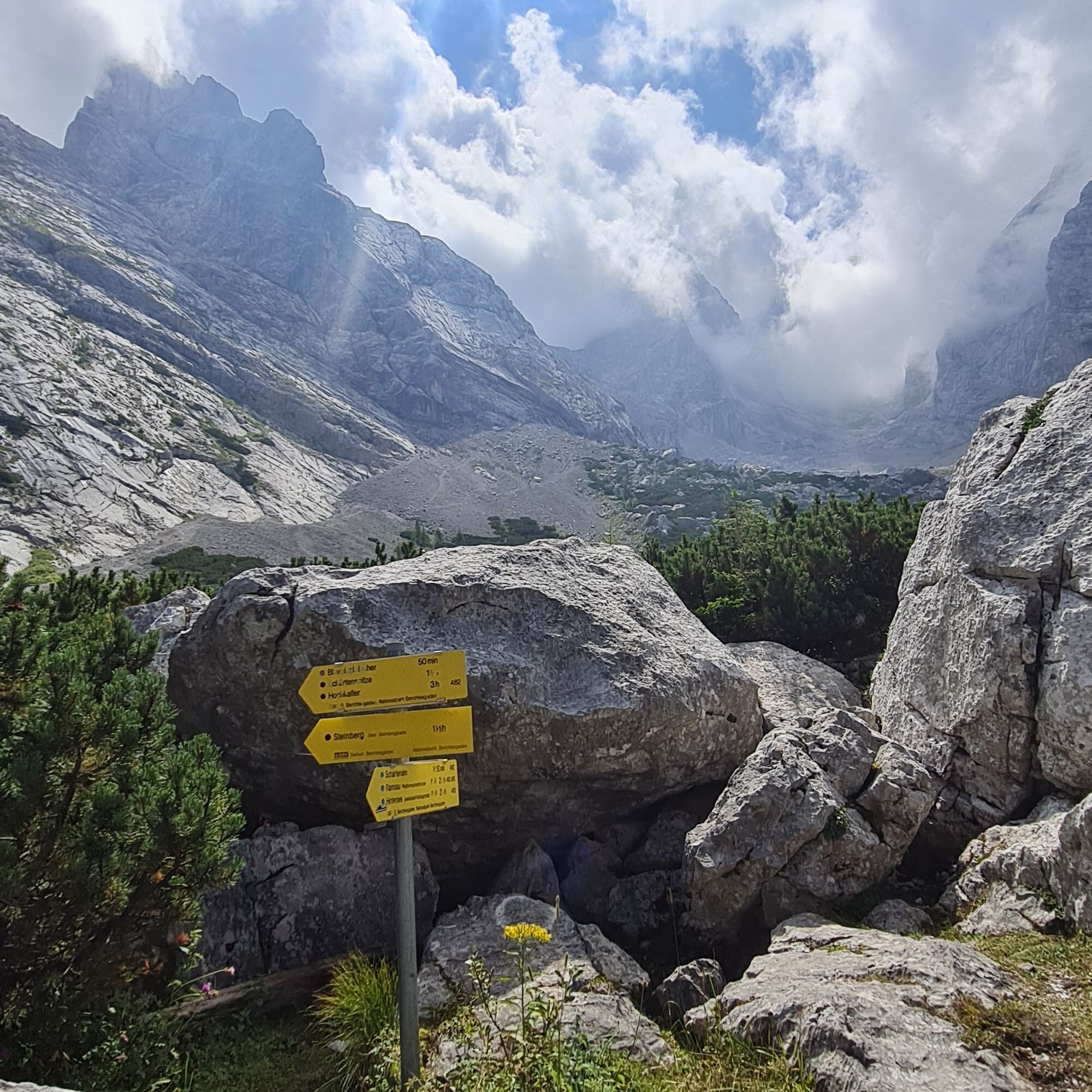
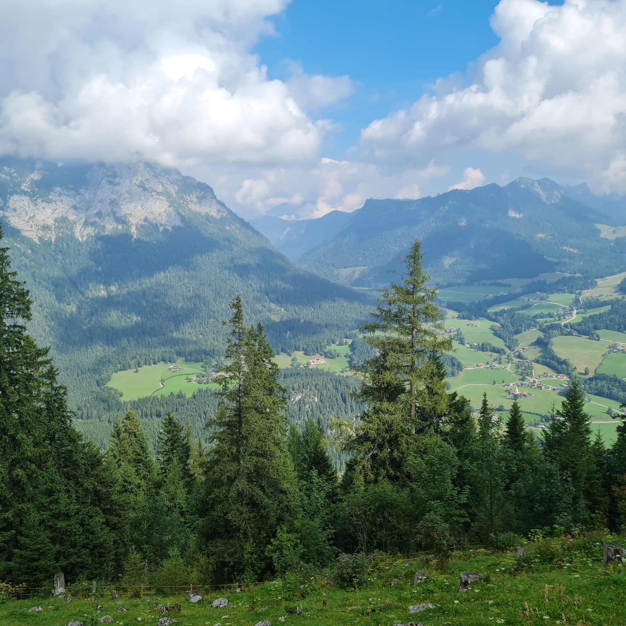
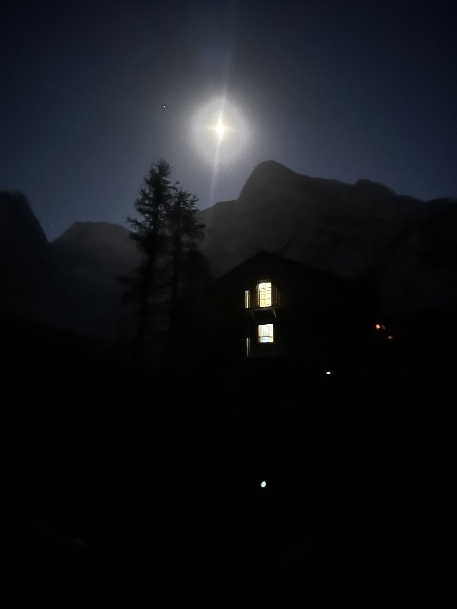
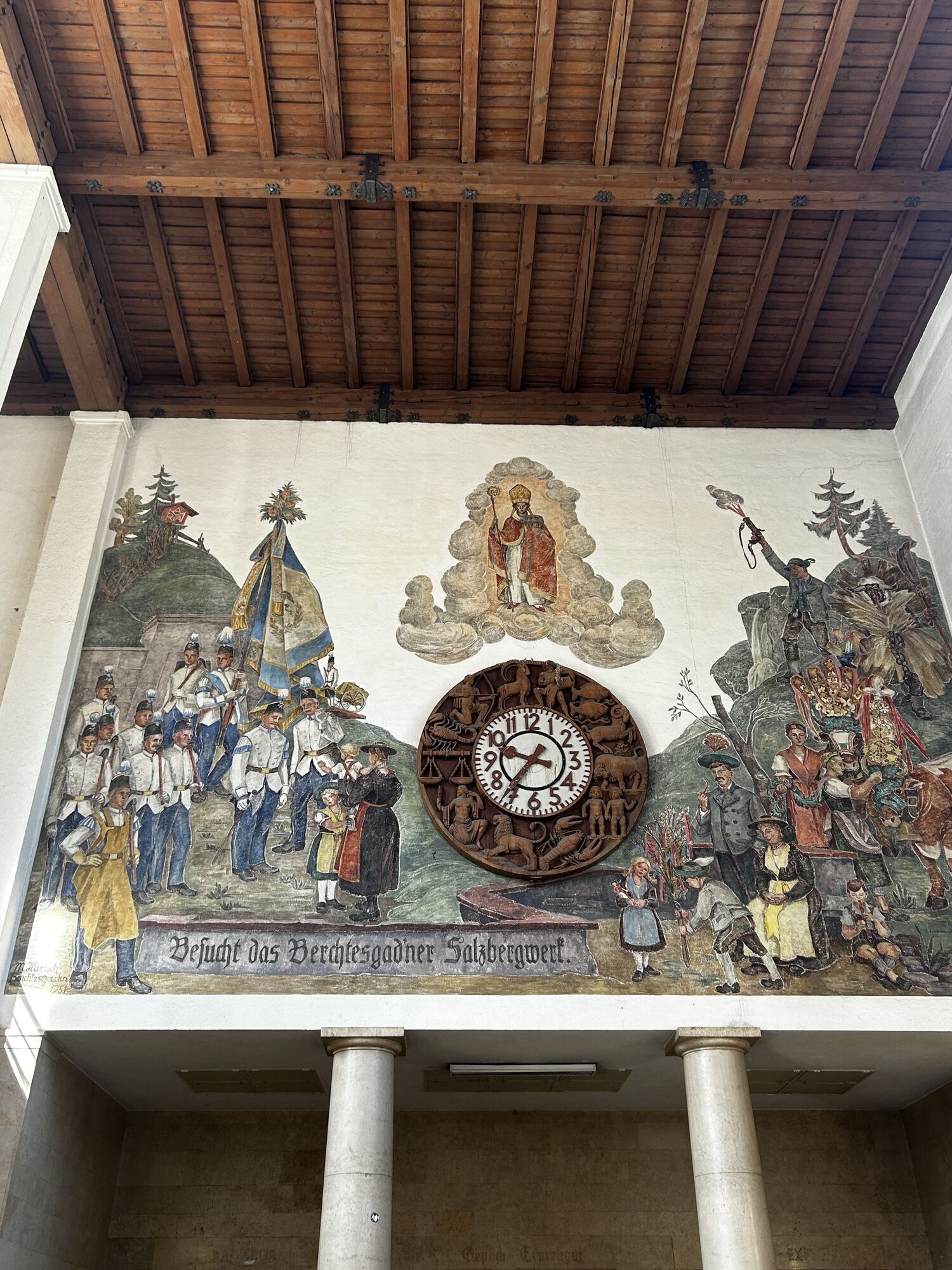
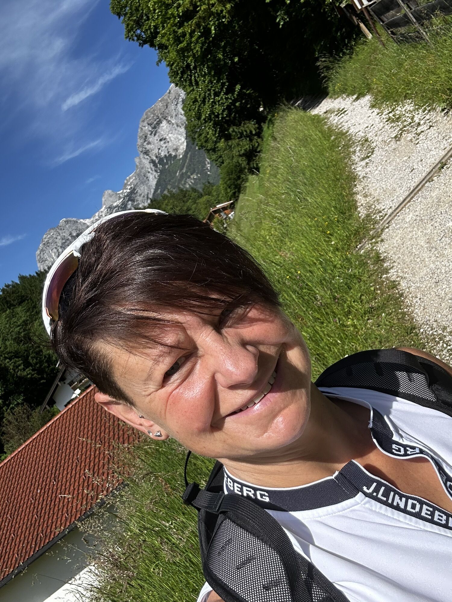
Photos from our users
 © Hermann BöckersCreated on 26.09.2025
 © Christian kalbCreated on 21.09.2025
 © G FCreated on 20.09.2025
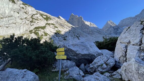 © G FCreated on 20.09.2025
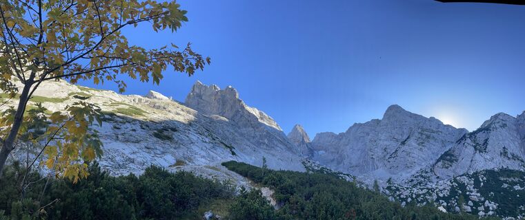 © G FCreated on 20.09.2025
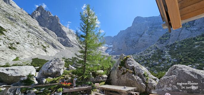
 © Andreas KarstenCreated on 24.06.2025
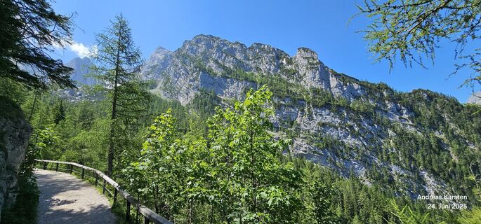 © Andreas KarstenCreated on 24.06.2025
 © Andreas KarstenCreated on 24.06.2025
 © Katrin RupprechtCreated on 31.05.2025
 © Katrin RupprechtCreated on 31.05.2025
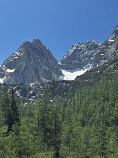 © Katrin RupprechtCreated on 31.05.2025
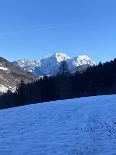
 © Sven KrieblinCreated on 26.12.2024
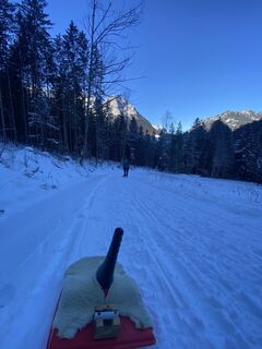 © Sven KrieblinCreated on 26.12.2024
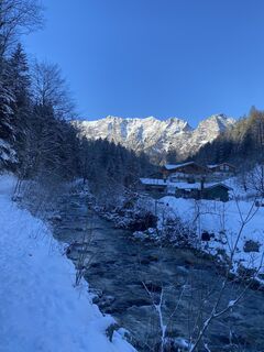 © Sven KrieblinCreated on 26.12.2024
 © MattiCreated on 26.08.2024
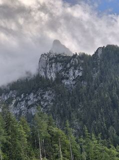
 © Michl Gmeiner 1Created on 23.07.2024
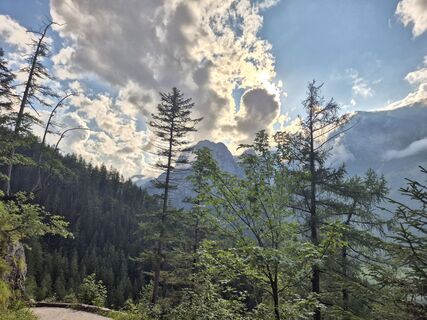 © Michl Gmeiner 1Created on 23.07.2024
 © Michl Gmeiner 1Created on 23.07.2024
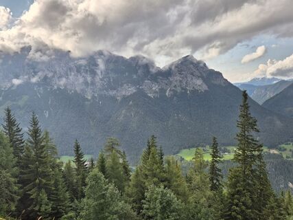 © Michl Gmeiner 1Created on 23.07.2024
 © Michl Gmeiner 1Created on 23.07.2024
 © Michl Gmeiner 1Created on 23.07.2024
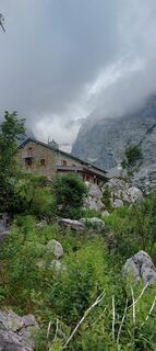
 © mountaingirlCreated on 10.07.2024
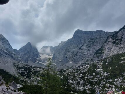 © mountaingirlCreated on 10.07.2024
 © mountaingirlCreated on 10.07.2024
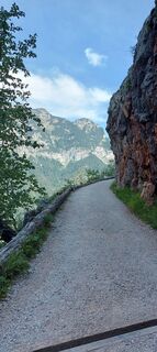 © mountaingirlCreated on 10.07.2024
 © BayernmoneCreated on 18.08.2025
 © BayernmoneCreated on 18.08.2025
 © BayernmoneCreated on 18.08.2025
 © BayernmoneCreated on 18.08.2025
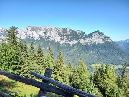
 © Patrick NeubeckCreated on 14.08.2023
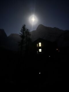 © Elias LanderdingerCreated on 12.08.2025
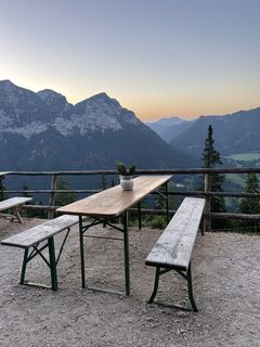
 © Marina ICreated on 19.08.2023
 © Marina ICreated on 19.08.2023


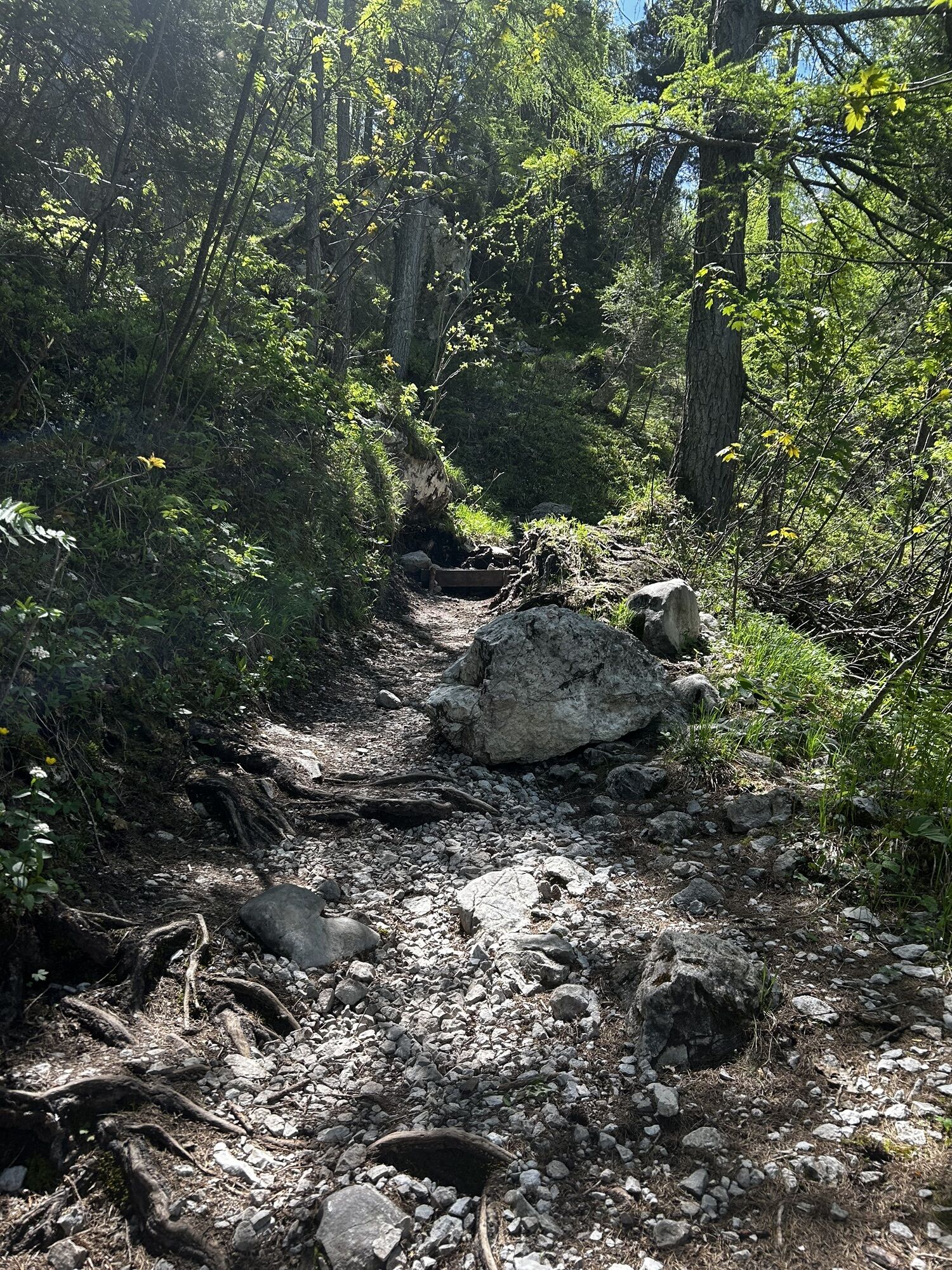
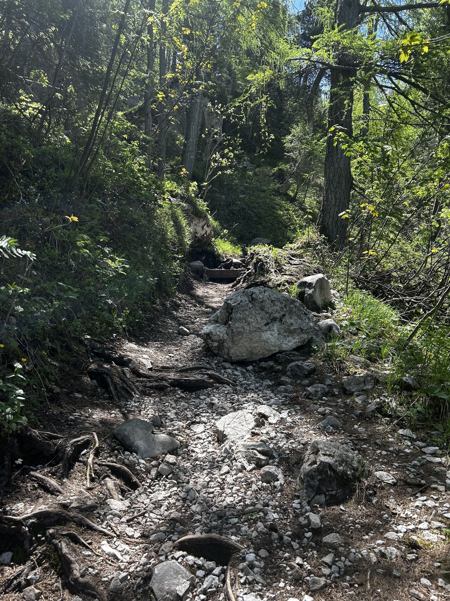
Route
Ramsau bei Berchtesgaden
(672 m)
Village
0,0 km
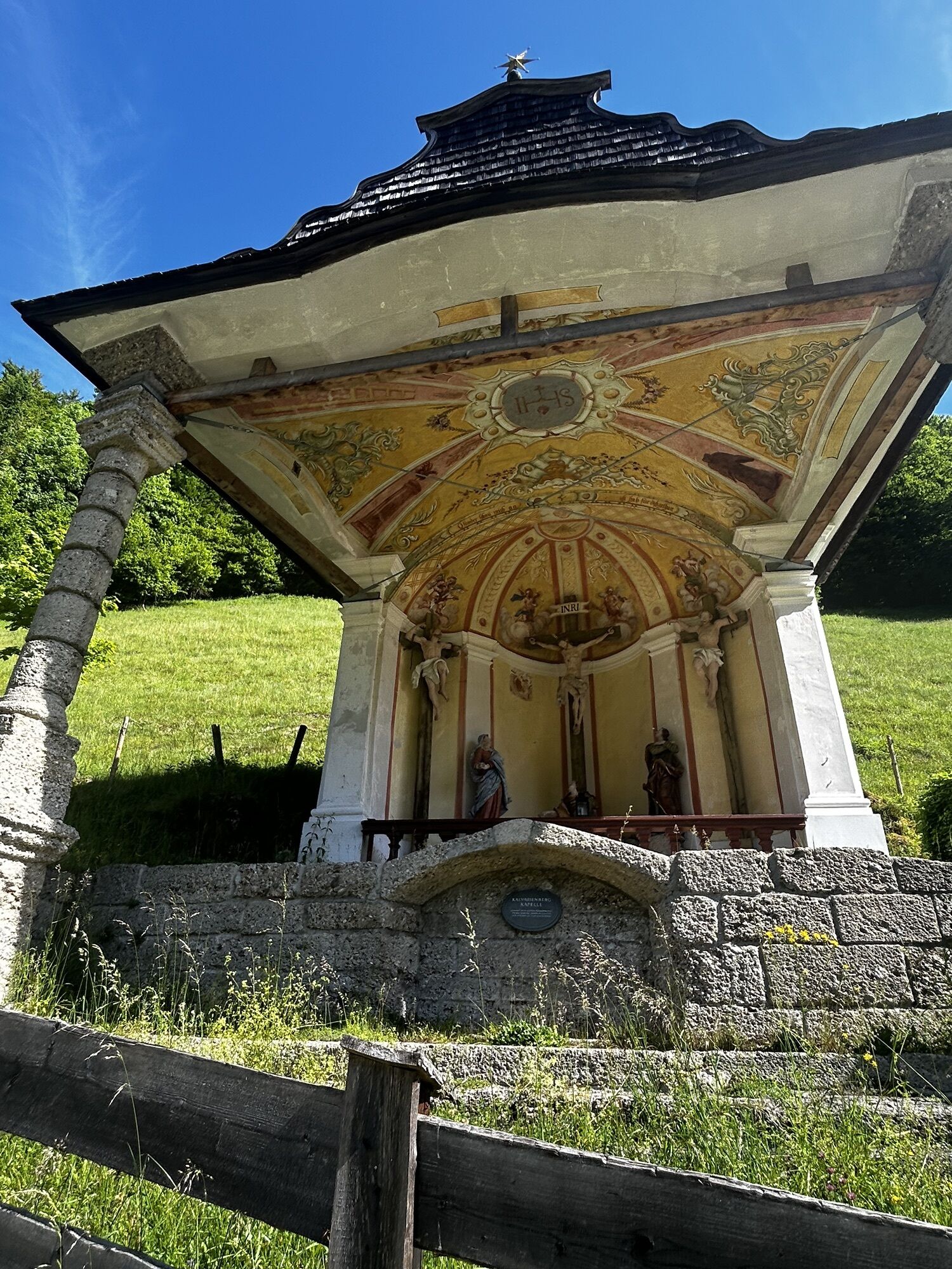
Kalvarienbergkapelle
(679 m)
Place of worship
0,0 km
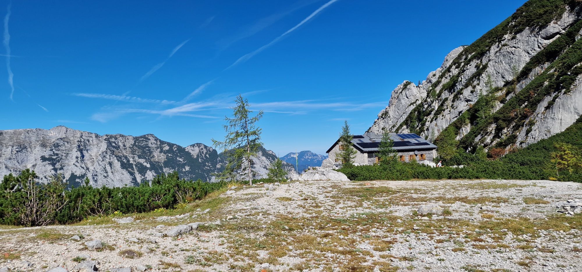
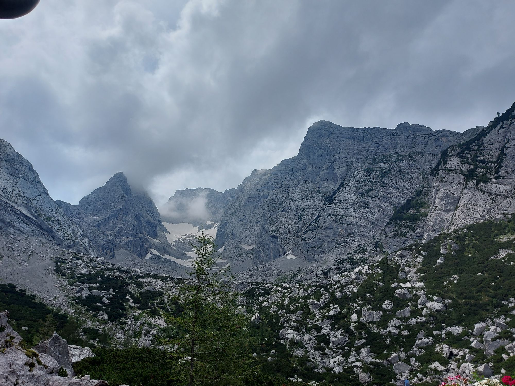
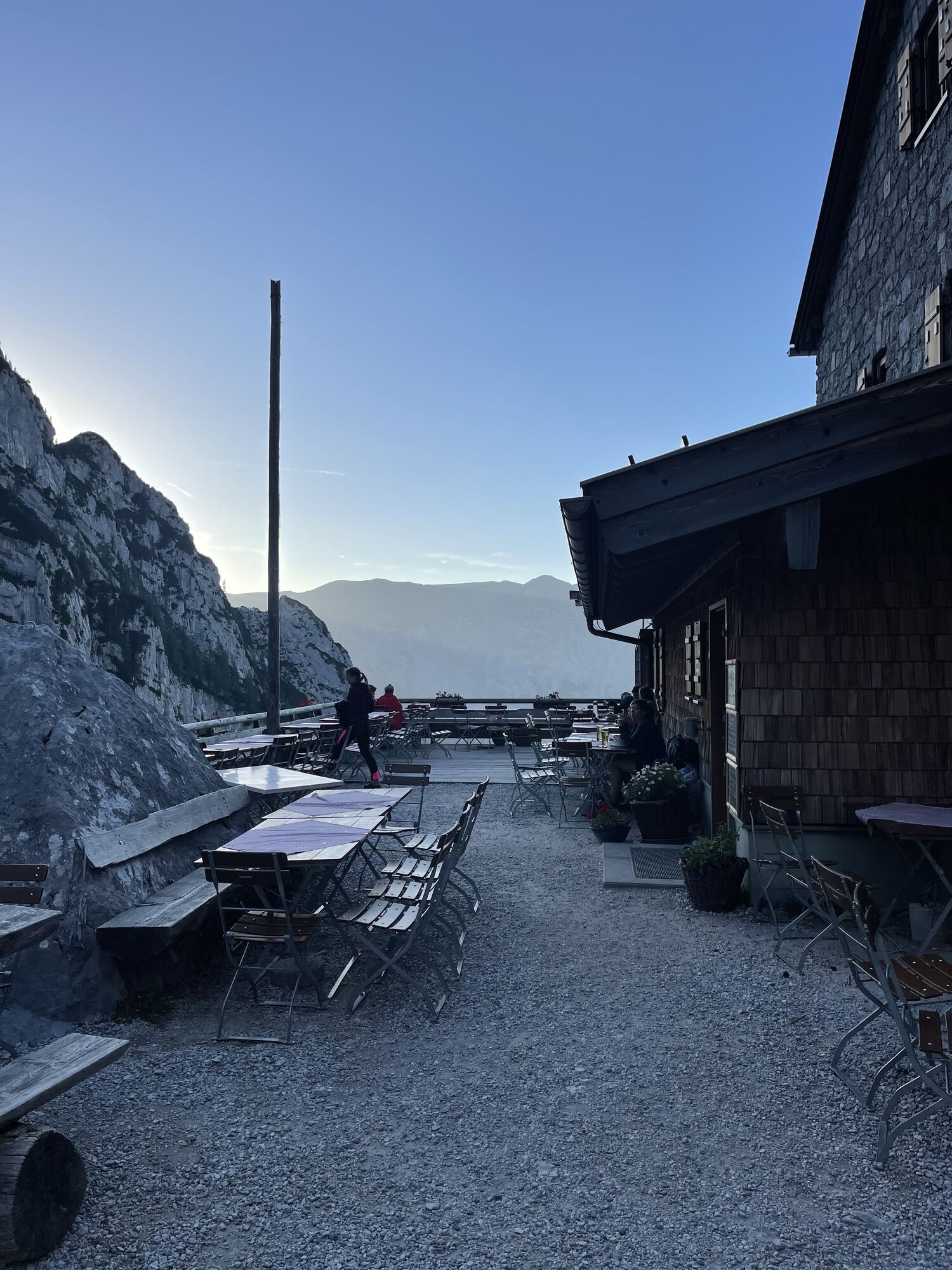
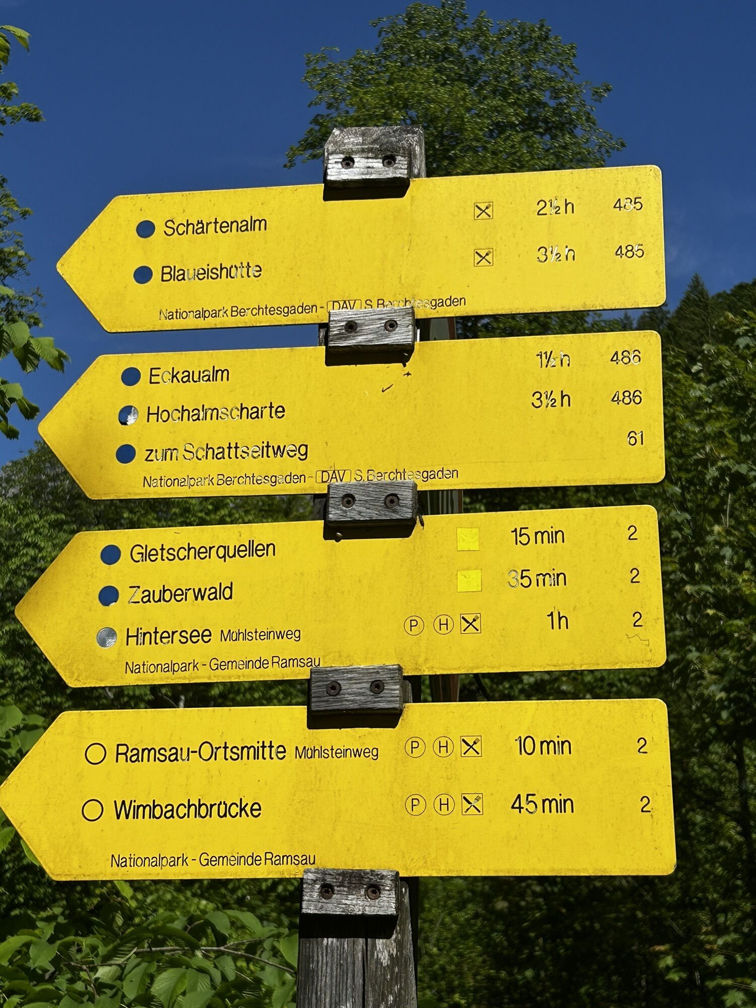
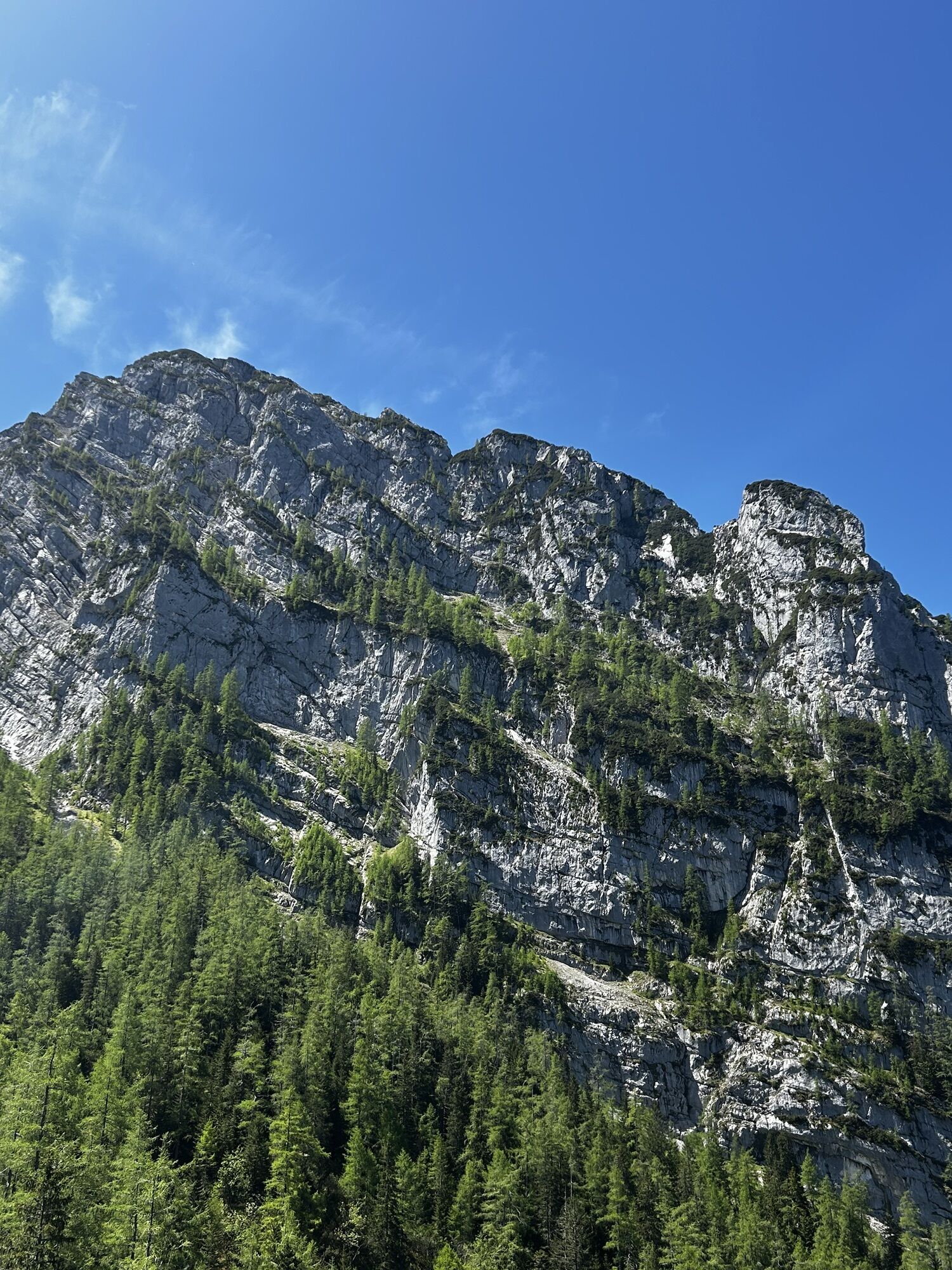
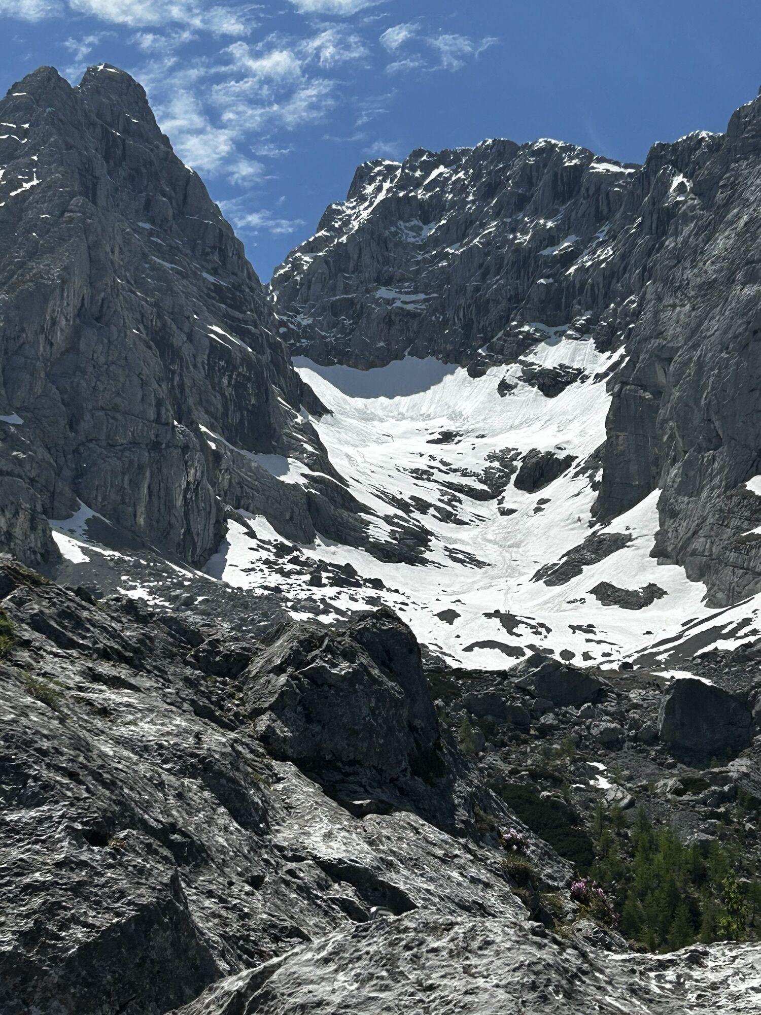
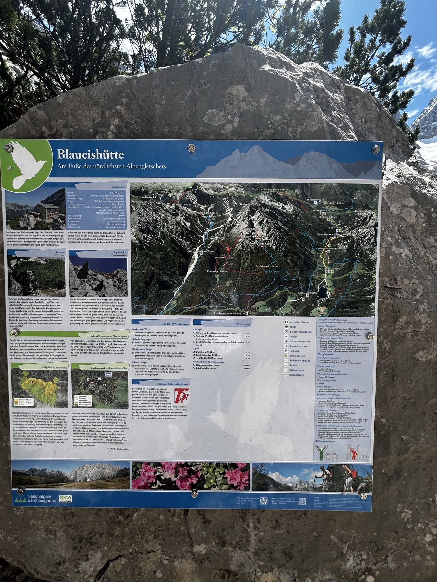
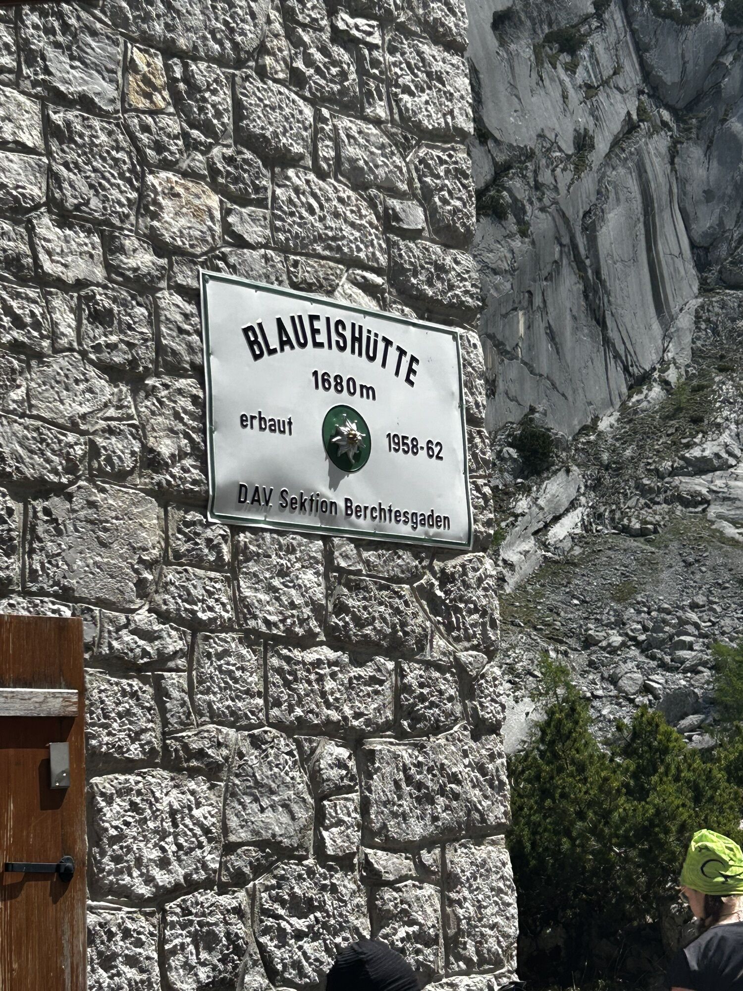
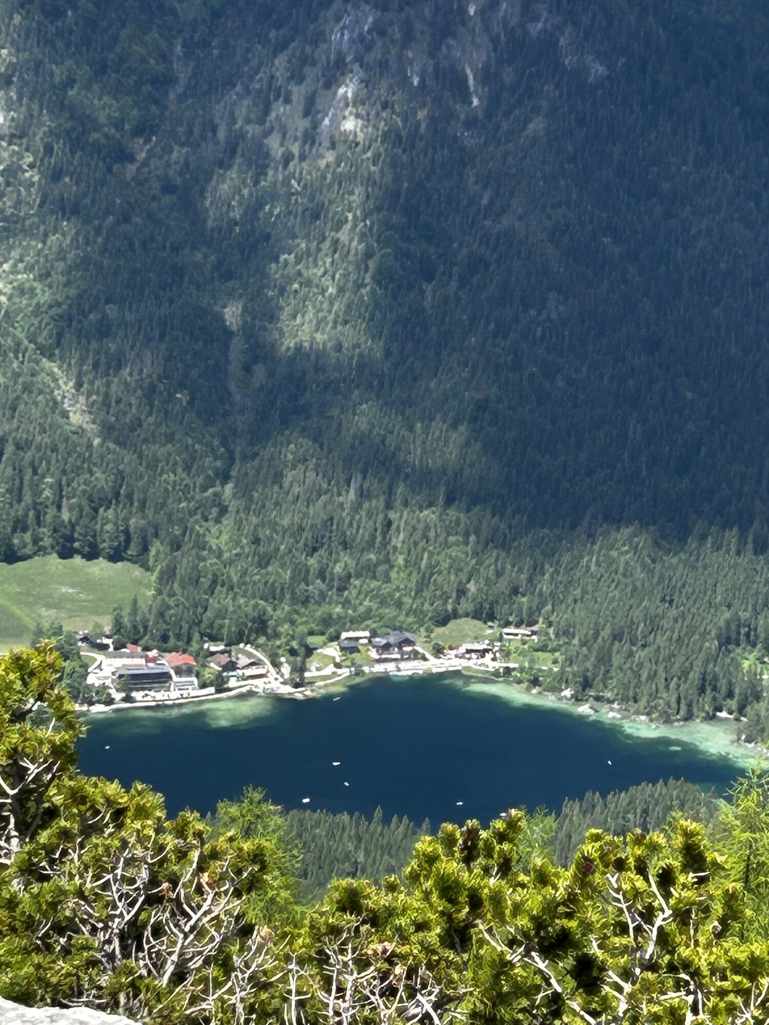
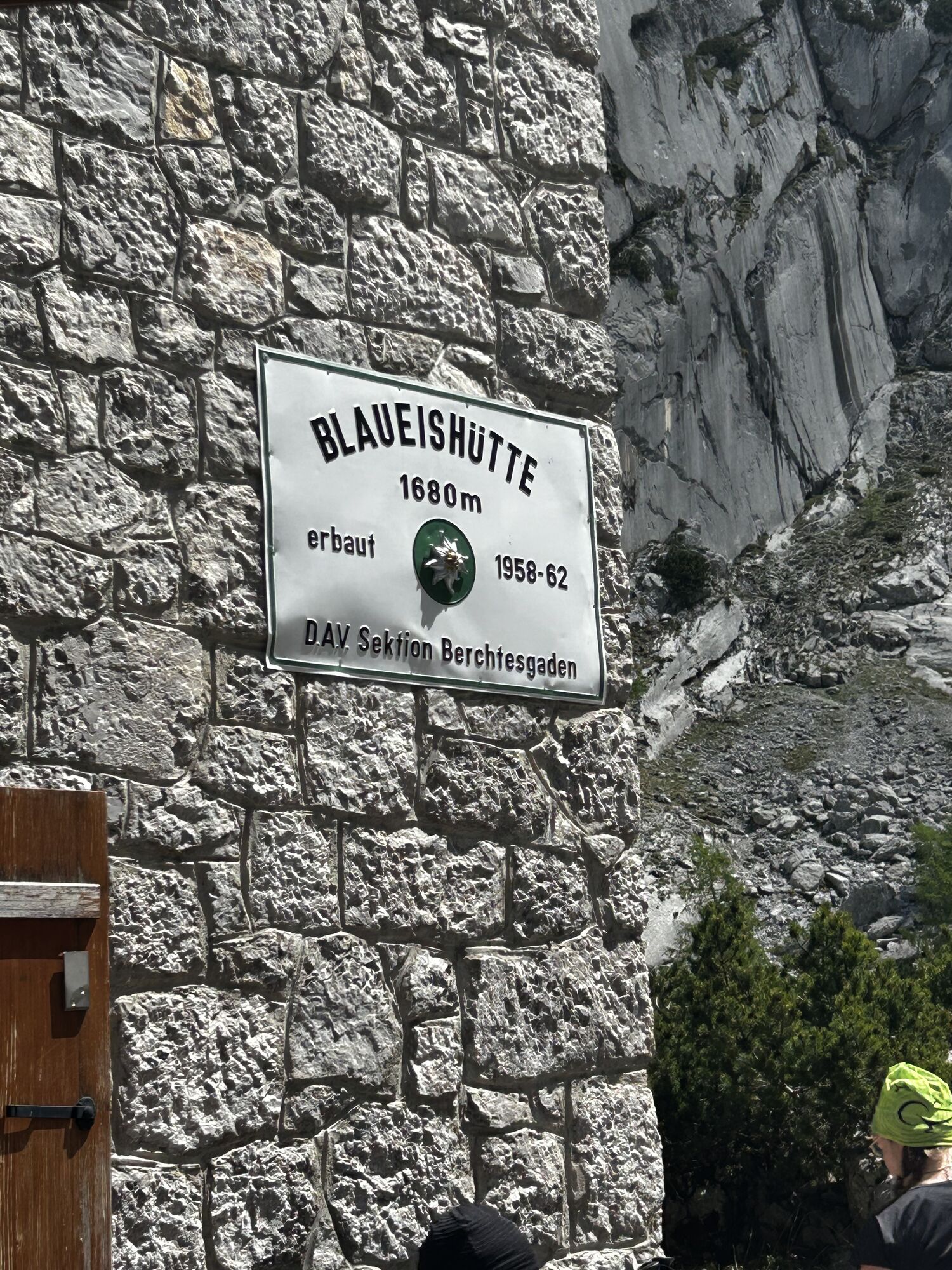
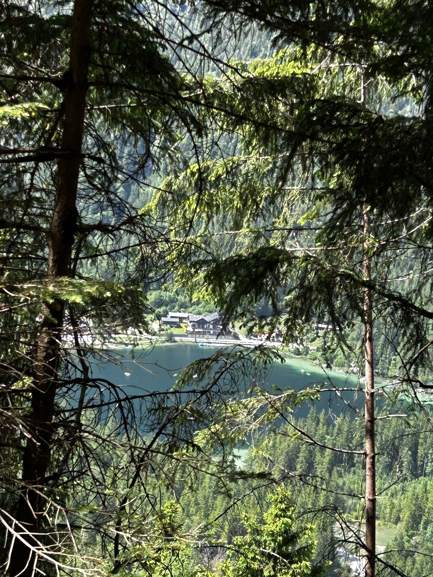
Blaueishütte
(1.650 m)
Shelter
6,4 km
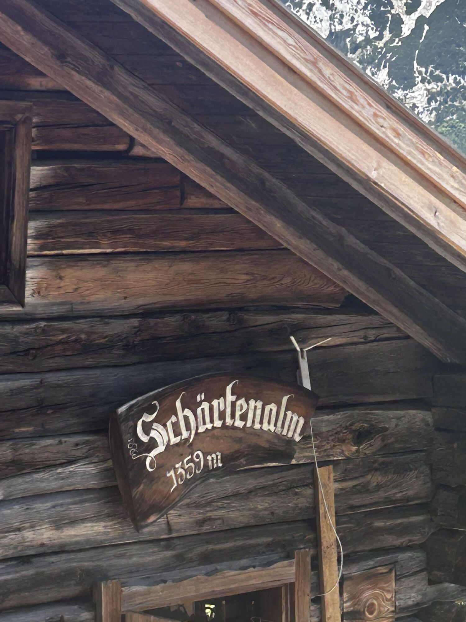
Schärtenalm
(1.364 m)
Restaurant
8,2 km
Route
Ramsau - Blaueishütte - Hintesee
medium
Mountain hiking
12,11
km
Ramsau bei Berchtesgaden
(672 m)
Village
0,0 km
Kalvarienbergkapelle
(679 m)
Place of worship
0,0 km
Blaueishütte
(1.650 m)
Shelter
6,4 km
Schärtenalm
(1.364 m)
Restaurant
8,2 km


No reviews yet
Webcams of the tour
Hirscheckbahn Bergstation / Ramsau
Ramsau / Berchtesgadener Land
Vorderloiplsau - Ramsau - Berchtesgadener Land
Hirscheckbahn Bergstation / Ramsau
Hirscheckbahn Bergstation / Ramsau
Hirscheckbahn Bergstation / Ramsau
Hirscheckbahn Bergstation / Ramsau
Hirscheckbahn Bergstation / Ramsau
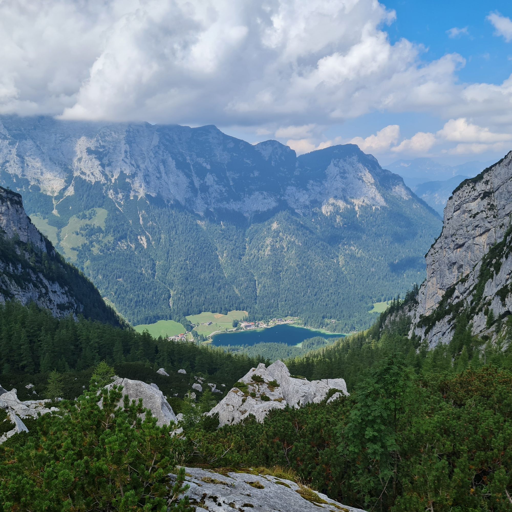
Hintersee/Ramsau
Ramsau bei Berchtesgaden
Bergsteigerdorf Ramsau
Popular tours in the neighbourhood
- 4,5
Hoher Göll vom Alpeltal
heavyHiking15,0 km - 3,7
Malerwinkel Rundwanderweg
lightHiking3,60 km - 3,7
Durch die Almbachklamm nach Ettenberg
Hiking7,54 km - 5,0
Königssee - Kärlinger-Haus
Hiking10,1 km - 4,5
Rundweg vom Hintersee zur Halsalm
mediumHiking9,53 km - 4,9
von Schönau am Königssee zum Watzmannhaus und zurück
mediumHiking17,1 km - 4,4
Wimbachgrieshütte
Hiking8,30 km - 5,0
Watzmann Überschreitung an einem Tag
heavyHiking23,9 km - 4,2
Halsalm
Hiking6,43 km - 4,9
Blaueishütte
mediumHiking11,4 km

Hiking & Tracking

Over 550.000 tour suggestions, detailed maps and an intuitive route planner make the app a must-have for all nature enthusiasts.

Don't miss out on offers and inspiration for your next holiday
Subscribe to the newsletter
Error
An error has occurred. Please try again.Thank you for your registration
Your e-mail address has been added to the mailing list.
Tours throughout Europe
Austria Switzerland Germany Italy Slovenia France Netherlands Belgium Poland Liechtenstein Czechia Slovakia Spain Croatia Bosnia and Herzegovina Luxembourg Andorra Portugal Iceland United Kingdom Ireland Greece Albania North Macedonia Malta Norway Montenegro Moldova Kosovo Hungary San Marino Romania Estonia Latvia Belarus Cyprus Lithuania Serbia Bulgaria Monaco Denmark Sweden Finland