Navigate in App
Get this tour on your mobile
Map
Cevio-Bosco Gurin-Cevio
medium
Cycling
32.04 km
Scan the QR code and start navigation in the bergfex app
QR Code
Hiking & Tracking
Hiking & Tracking

Cevio-Bosco Gurin-Cevio

Distance
32.0 km
Duration
04:00 h
Ascent
979 m
Sea level
416 - 1,497 m
Track download
Map
Cevio-Bosco Gurin-Cevio
medium
Cycling
32.04 km

Photos from our users

In 1997, Bosco Gurin was also a stage finish of the Tour de Suisse. Full of curves, the road climbs high up to Linescio. Alternating between the shade of the forest and green meadows, the route pushes...

Description of the

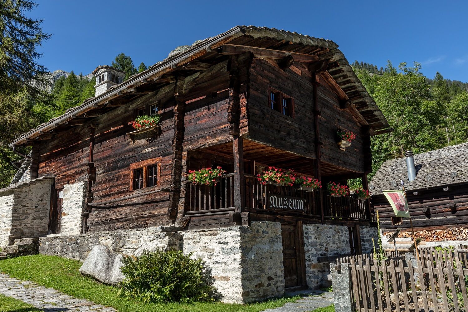
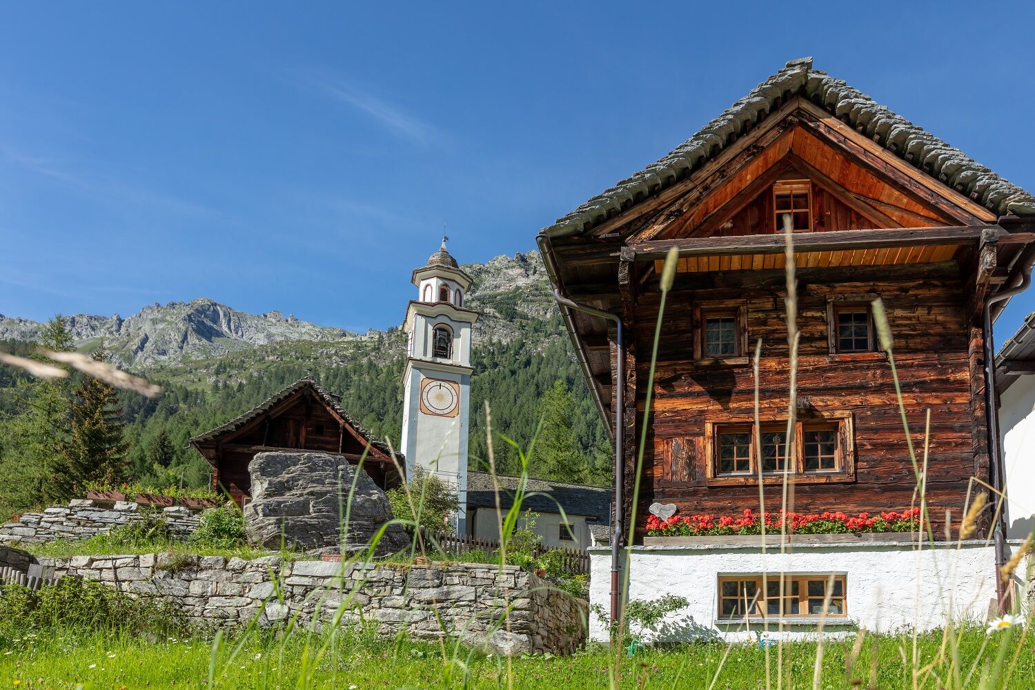
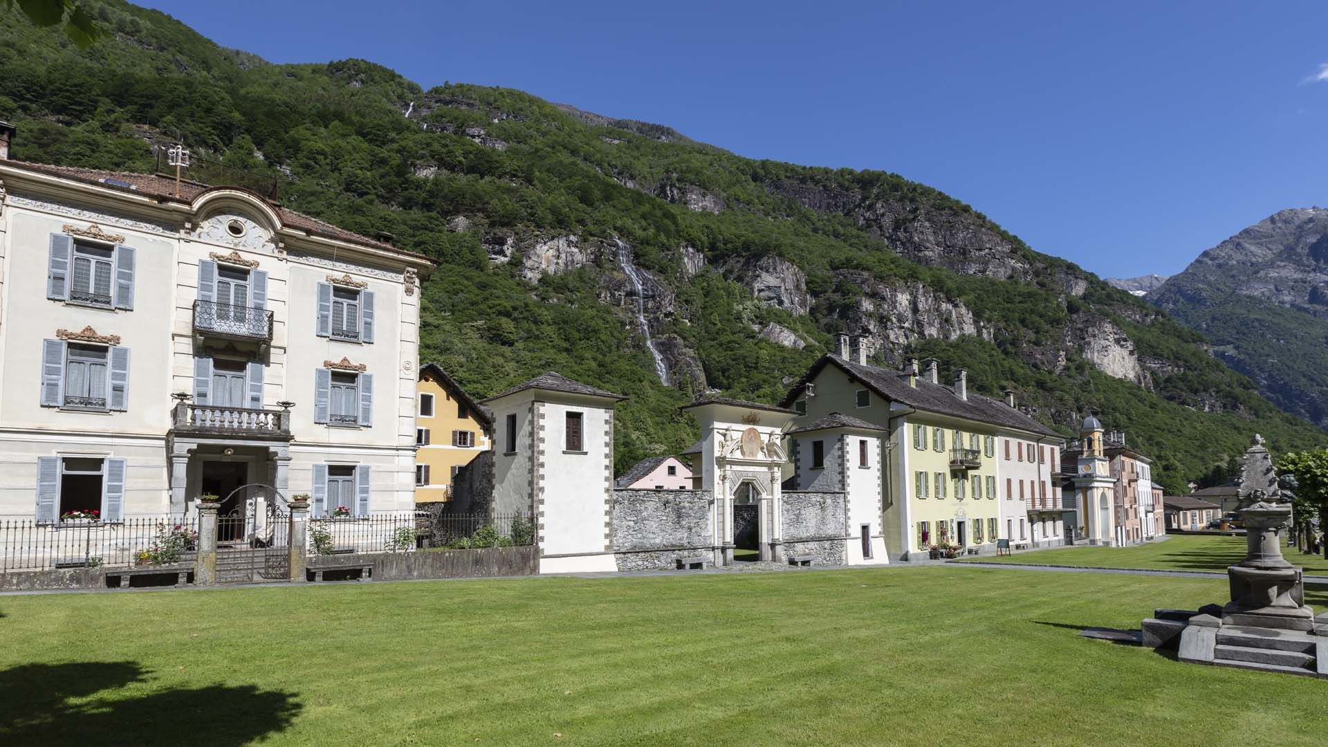
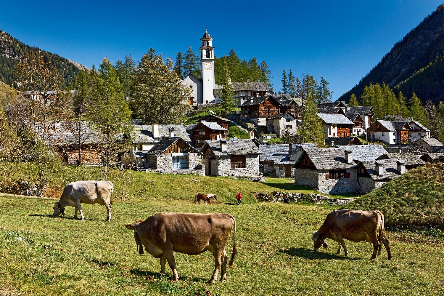
In 1997, Bosco Gurin was also a stage finish of the Tour de Suisse. Full of curves, the road climbs high up to Linescio. Alternating between the shade of the forest and green meadows, the route pushes further into the valley. At Cerentino the road splits toward Bosco Gurin or Cimalmotto. Along the rocky cliff with views of the high mountain peaks, the last kilometers of the route are completed, becoming very steep again. Bosco Gurin is a picturesque Walser village with typical architecture. From here you descend back to Cevio following the same road.

Route
Chiesa di San Remigio
(667 m)
Place of worship
4.3 km
Collinasca
(764 m)
Settlement
6.8 km
Chiesa Parrocchiale Santa Maria delle Grazie
(1,055 m)
Place of worship
11.1 km
Bosco/Gurin
(1,506 m)
Village
16.0 km
Chiesa Parrocchiale Santa Maria delle Grazie
(1,055 m)
Place of worship
20.8 km
Collinasca
(764 m)
Settlement
25.0 km
Chiesa di San Remigio
(667 m)
Place of worship
27.7 km
Route
Map
Cevio-Bosco Gurin-Cevio
medium
Cycling
32.04 km
Cevio
(418 m)
Village
0.0 km
Chiesa della Beata Vergine del Ponte
(433 m)
Place of worship
0.6 km
Rovana
(469 m)
Neighbourhood
0.8 km
La Cará d Arvígn
(697 m)
Corridor/terrain
3.6 km
Linescio
(668 m)
Village
4.2 km
Chiesa di San Remigio
(667 m)
Place of worship
4.3 km
Linescio di Dentro
(671 m)
Corridor/terrain
4.5 km
Collinasca
(764 m)
Settlement
6.8 km
Ovi
(780 m)
Corridor/terrain
7.6 km
Bolla dei Civi
(881 m)
Corridor/terrain
9.0 km
Ca' di Torell
(925 m)
Corridor/terrain
9.6 km
Che di Bascin
(944 m)
Corridor/terrain
10.2 km
Corte Sotto
(981 m)
Neighbourhood
10.2 km
Cerentino
(978 m)
Settlement
10.3 km
Osteria Centrale
(978 m)
Restaurant
10.3 km
Casta
(1,044 m)
Corridor/terrain
11.0 km
Gallinette
(1,065 m)
Corridor/terrain
11.1 km
Chiesa Parrocchiale Santa Maria delle Grazie
(1,055 m)
Place of worship
11.1 km
Camanoglio
(1,128 m)
Village
11.6 km
Corino
(1,093 m)
Village
11.9 km
Al Ciòs
(1,188 m)
Corridor/terrain
13.2 km
Ristorante Walser
(1,497 m)
Restaurant
15.9 km
Osteria delle Alpi
(1,499 m)
Restaurant
15.9 km
Bosco/Gurin
(1,506 m)
Village
16.0 km
Al Ciòs
(1,188 m)
Corridor/terrain
18.5 km
Corino
(1,093 m)
Village
20.1 km
Camanoglio
(1,128 m)
Village
20.4 km
Chiesa Parrocchiale Santa Maria delle Grazie
(1,055 m)
Place of worship
20.8 km
Gallinette
(1,065 m)
Corridor/terrain
20.9 km
Casta
(1,044 m)
Corridor/terrain
21.0 km
Osteria Centrale
(978 m)
Restaurant
21.7 km
Cerentino
(978 m)
Settlement
21.7 km
Corte Sotto
(981 m)
Neighbourhood
21.7 km
Che di Bascin
(944 m)
Corridor/terrain
21.8 km
Ca' di Torell
(925 m)
Corridor/terrain
22.3 km
Bolla dei Civi
(881 m)
Corridor/terrain
23.0 km
Ovi
(780 m)
Corridor/terrain
24.2 km
Collinasca
(764 m)
Settlement
25.0 km
Linescio di Dentro
(671 m)
Corridor/terrain
27.5 km
Chiesa di San Remigio
(667 m)
Place of worship
27.7 km
Linescio
(668 m)
Village
27.7 km
La Cará d Arvígn
(697 m)
Corridor/terrain
28.3 km
Rovana
(469 m)
Neighbourhood
31.1 km
Chiesa della Beata Vergine del Ponte
(433 m)
Place of worship
31.3 km
Cevio
(418 m)
Village
31.9 km
Tour info

The climb from Cevio to Bosco Gurin, the highest village in Ticino, is 16 km with over 1000 meters of elevation gain: a popular challenge also among road cyclists.

Technology
n.a.
Condition
4 / 6
Landscape
n.a.
Experience
n.a.
Best time of year
Jan
Feb
Mar
Apr
May
Jun
Jul
Aug
Sep
Oct
Nov
Dec
Author
Provided by Lago Maggiore e Valli
The tour Cevio-Bosco Gurin-Cevio is provided by outdooractive.com.
Logo
Share tour
Map
Cevio-Bosco Gurin-Cevio
medium
Cycling
32.04 km
Error
An error has occurred. Please try again.
Last tracked one week ago
Route information
Route

Cevio-Linescio-Cerentino-Bosco Gurin-Cerentino-Linescio-Cevio

One-way tour

Yes

Equipment

Electric bike/mountain bike
Interchangeable battery
Battery charger
Bike helmet
Bike backpack (approx. 35 liters) with rain cover
Comfortable and sturdy shoes
Bike shoes if necessary
Suitable outdoor clothing and multi-layer resistant
Cycling jersey if necessary
Change of clothes
Cycling gloves
Bike pump
Bike repair tools
Sun and rain protection
Food and drinking water
Water bottle
First aid kit
Mobile phone
Phone mount for the handlebar if necessary
Light and reflectors
Maps
Travel documents

No reviews yet
Write a review

Reviews help other users choose their next adventure. Please only rate the tour, not the weather or your snack.

Select one of the stars to rate the tour
Bad tour
Weak tour
Mediocre tour
Good tour
Excellent tour
bergfex logo Get the insight Always live on site with over 9,500 webcams. As a Pro user, you can now see the corresponding webcams for many tours in the tours app from bergfex. This allows you to view the current conditions directly.
Hiking & Tracking

Hiking & Tracking

Hiking & Tracking
Over 550.000 tour suggestions, detailed maps and an intuitive route planner make the app a must-have for all nature enthusiasts.
bergfex