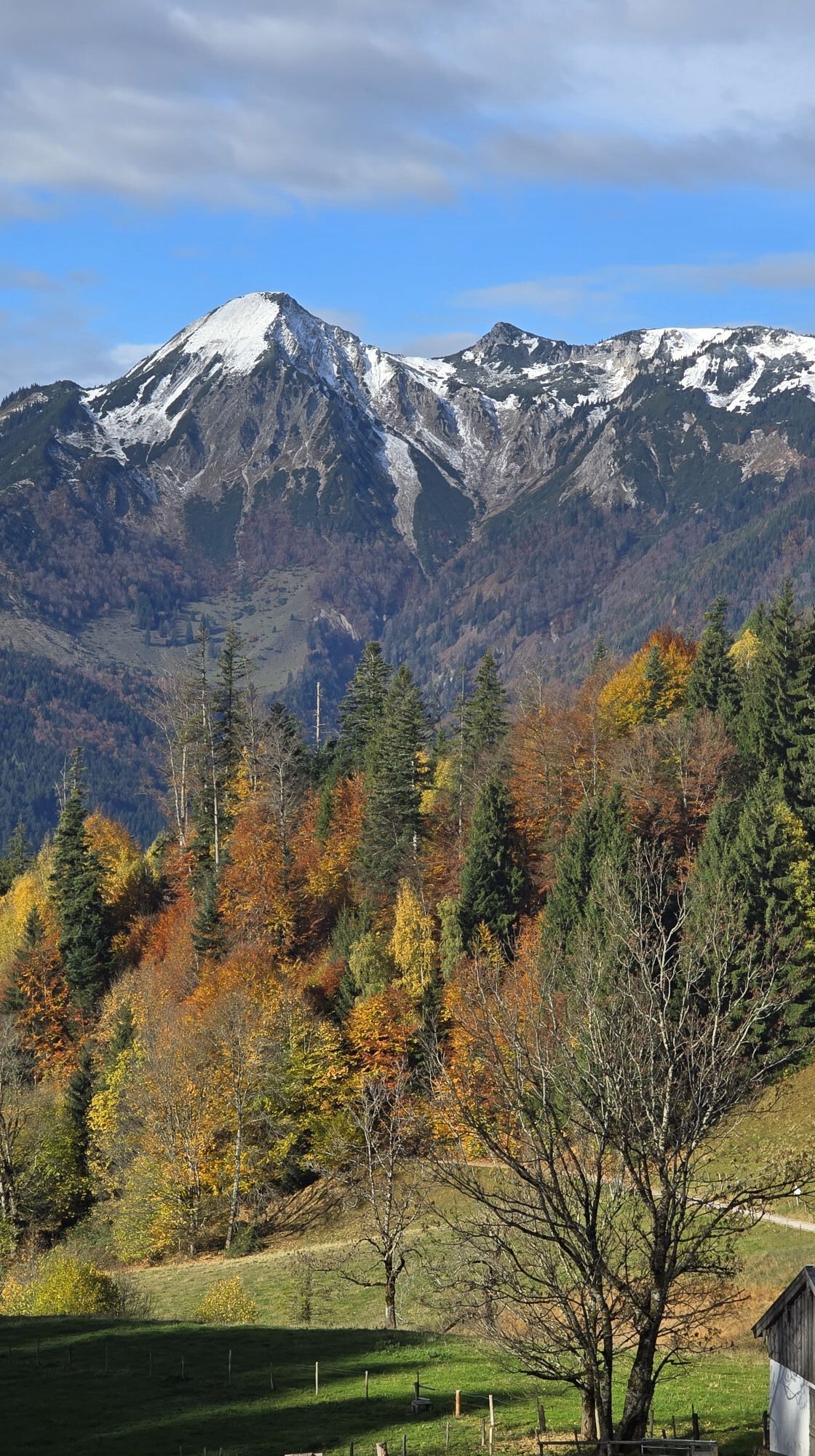
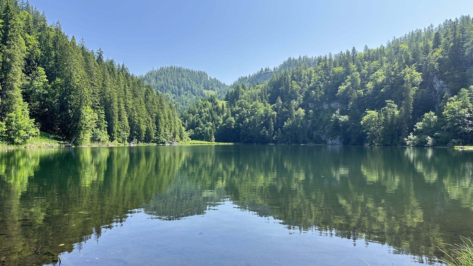
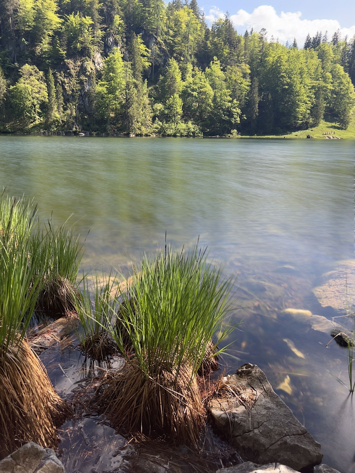
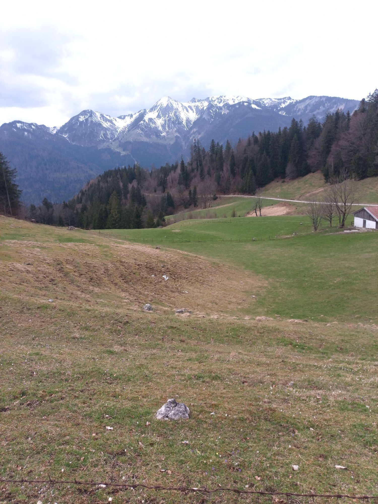
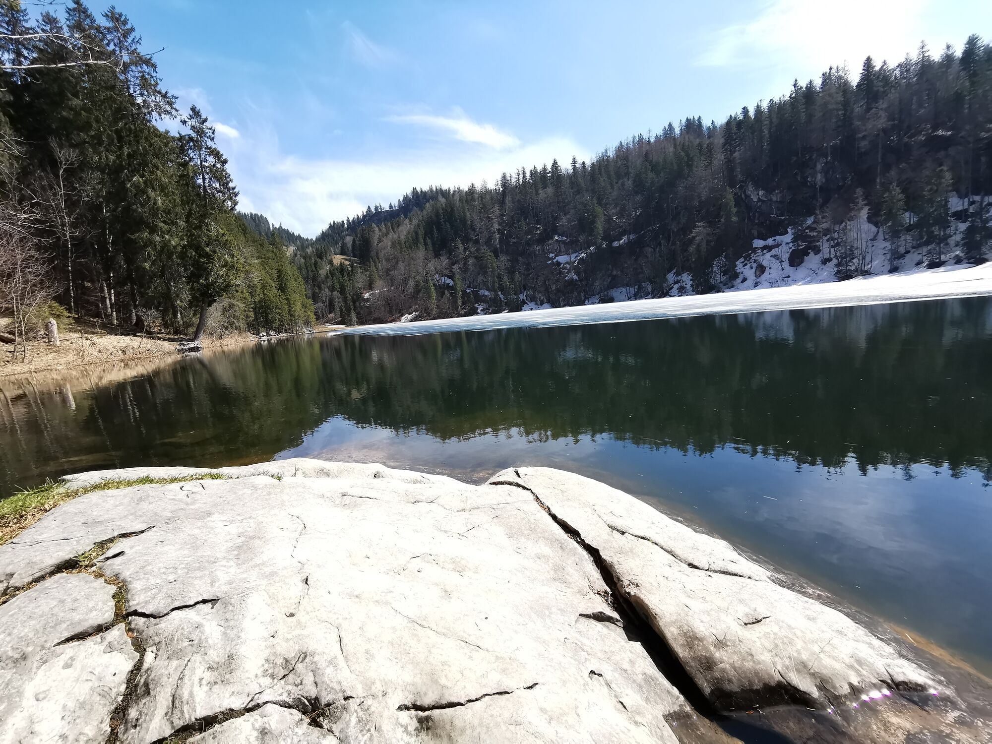
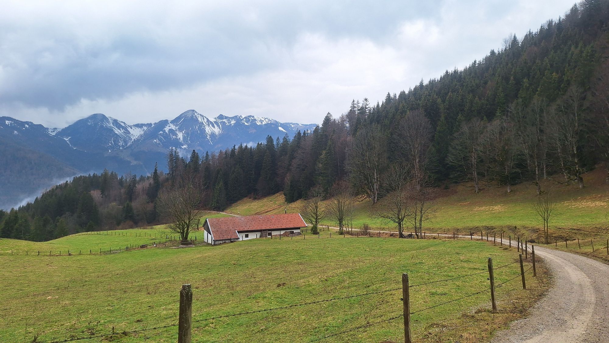
Taubensee ü Kroatensteig
Hiking
Navigate
Navigate
Get this tour on your mobile
Taubensee ü Kroatensteig
Hiking
9.85
km
Scan the QR code and start navigation in the bergfex app

Hiking & Tracking


Distance
9.85
km
Duration
03:27
h
Ascent
680
m
Sea level
771 -
1,219
m
Track download
Taubensee ü Kroatensteig
Hiking
9.85
km


No reviews yet
Popular tours in the neighbourhood
-
4.6
Hochgern
mediumHiking 15.1 km -
4.4
Der Schmugglerweg von Kössen zum Klobenstein
lightThematic route 7.23 km -
4.5
Geigelstein
mediumHiking 14.5 km -
4.6
CHIEMGAU: Hörndlwand (1684m), Gurnwandkopf (1691m)
lightHiking 12.6 km -
4.5
Kampenwand
mediumHiking 11.4 km -
4.0
Winterwanderung Sachrang Priener Hütte Geigelstein
mediumWinter hiking 9.40 km -
4.4
Hochgernhaus
mediumHiking 15.1 km -
4.3
Hochfelln Gipfel
mediumHiking 5.62 km -
4.6
Samerberg - Hochries
mediumHiking 8.97 km -
4.4
Wanderung: Spitzstein und Altkaseralm von Sachrang
mediumHiking 4.03 km
Hiking & Tracking

Over 550.000 tour suggestions, detailed maps and an intuitive route planner make the app a must-have for all nature enthusiasts.

Don't miss out on offers and inspiration for your next holiday
Subscribe to the newsletter
Error
An error has occurred. Please try again.
Thank you for your registration
Your e-mail address has been added to the mailing list.
Tours throughout Europe
Austria
Switzerland
Germany
Italy
Slovenia
France
Netherlands
Belgium
Poland
Liechtenstein
Czechia
Slovakia
Spain
Croatia
Bosnia and Herzegovina
Luxembourg
Andorra
Portugal
Iceland
United Kingdom
Ireland
Greece
Albania
North Macedonia
Malta
Norway
Montenegro
Moldova
Kosovo
Hungary
San Marino
Romania
Estonia
Latvia
Belarus
Cyprus
Lithuania
Serbia
Bulgaria
Monaco
Denmark
Sweden
Finland