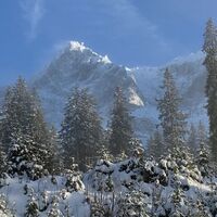
Malcesine nach Tratto Spino (Monte Baldo)
medium
Navigate
Navigate
Get this tour on your mobile
Malcesine nach Tratto Spino (Monte Baldo)
medium
Hiking
12,57
km
Scan the QR code and start navigation in the bergfex app

Hiking & Tracking


Distance
12,57
km
Duration
03:59
h
Ascent
1.733
m
Sea level
69 -
1.767
m
Track download
Malcesine nach Tratto Spino (Monte Baldo)
medium
Hiking
12,57
km


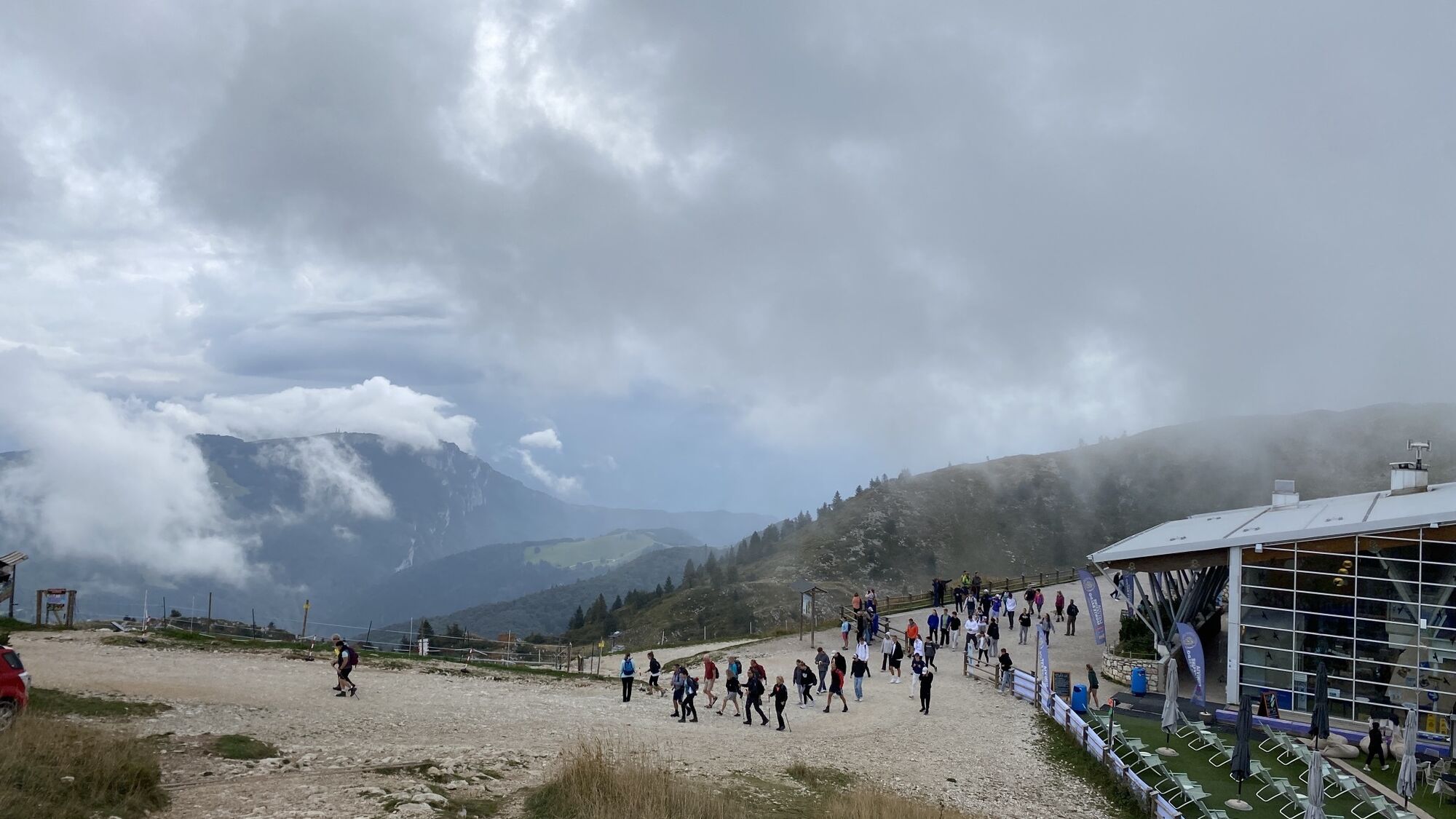
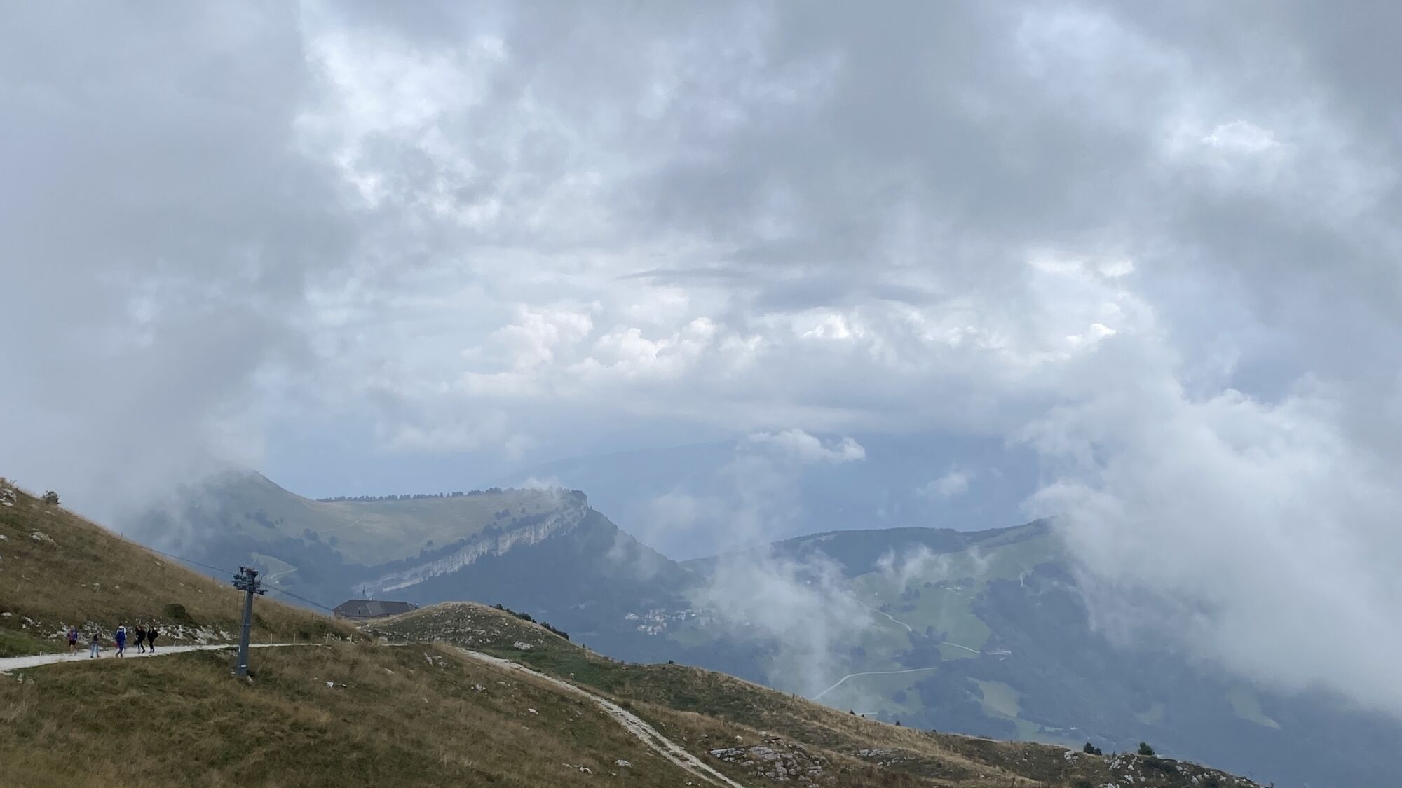
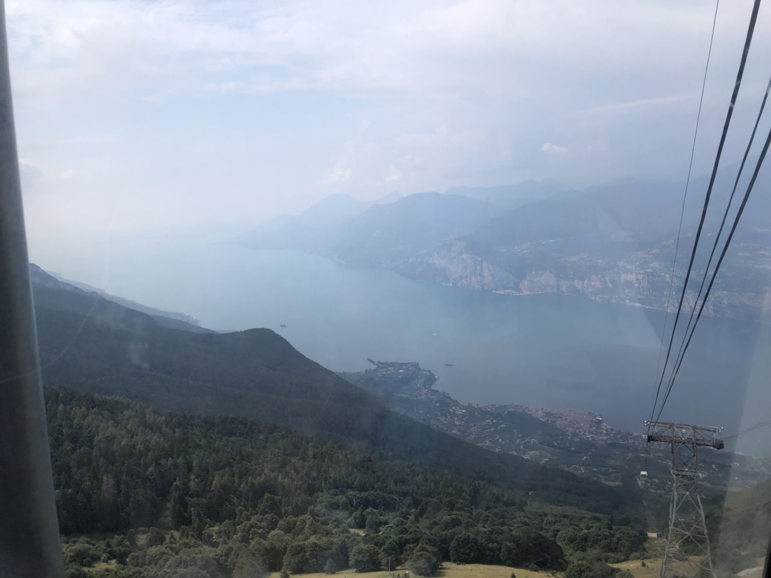
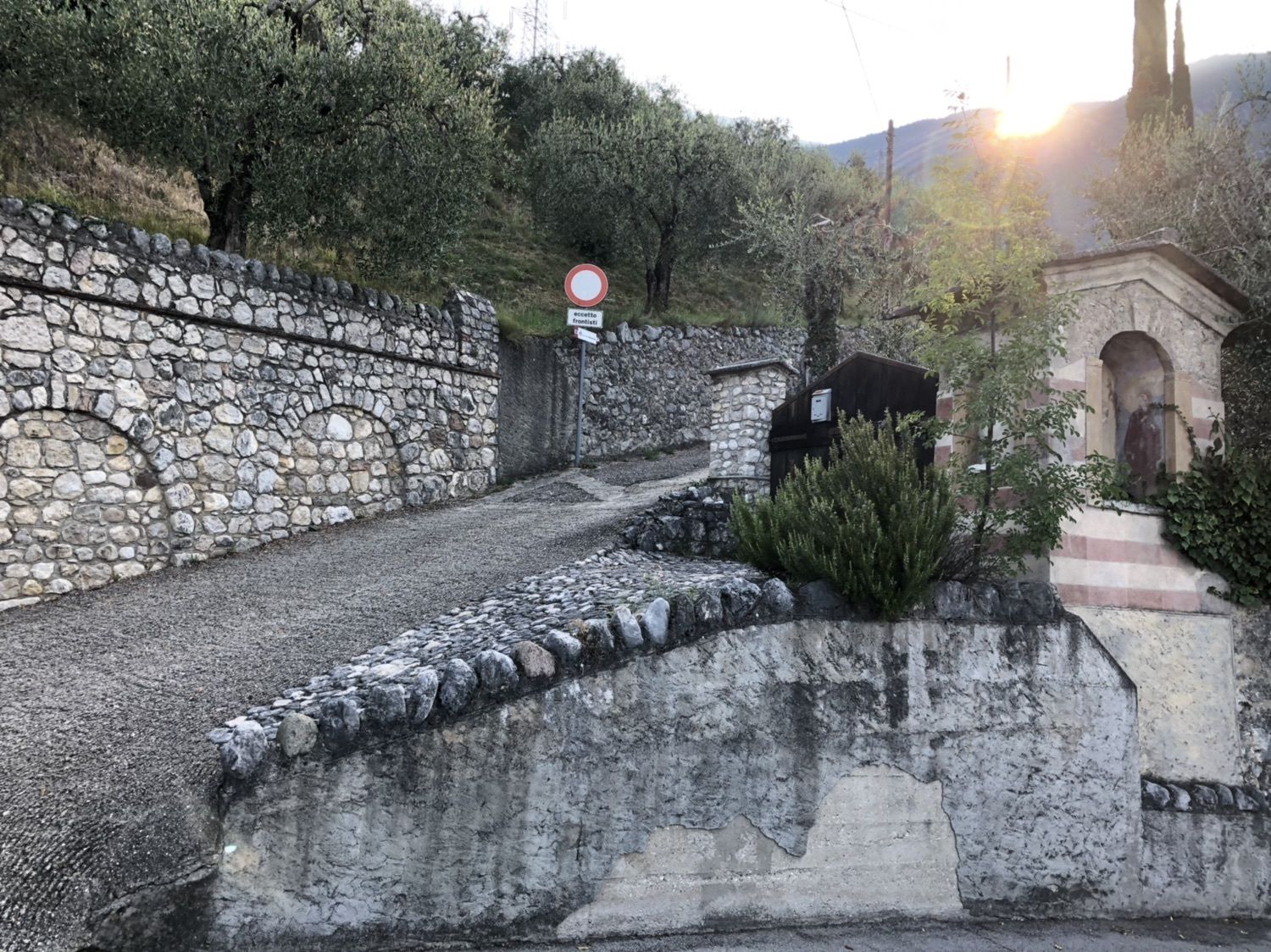
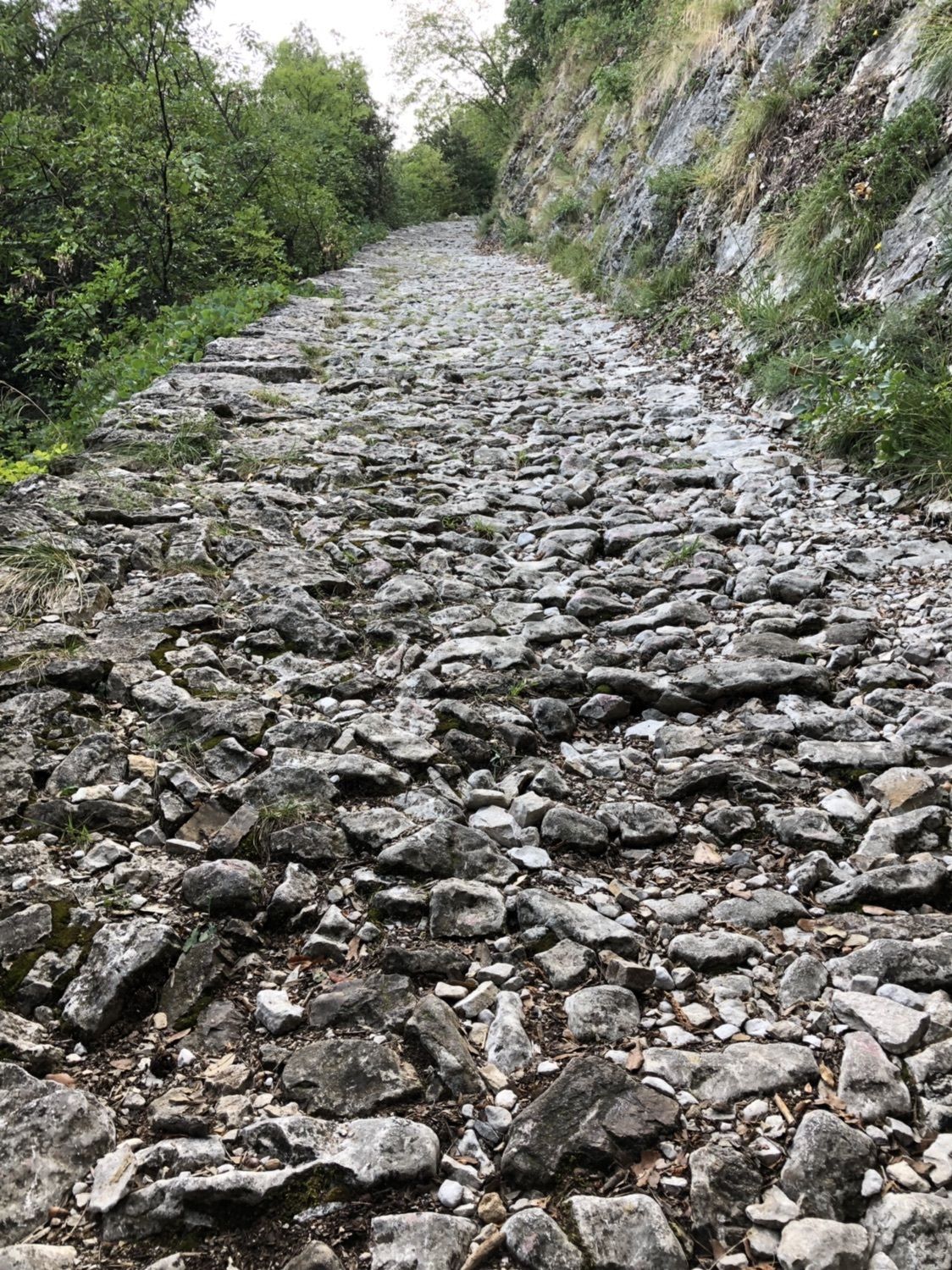
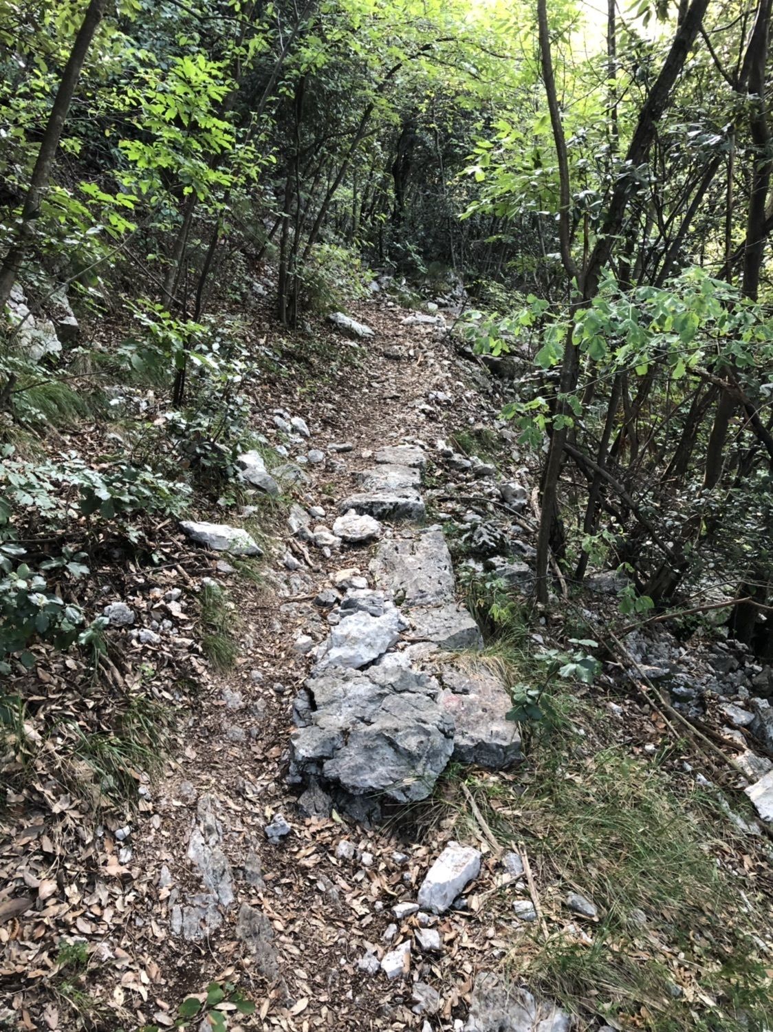
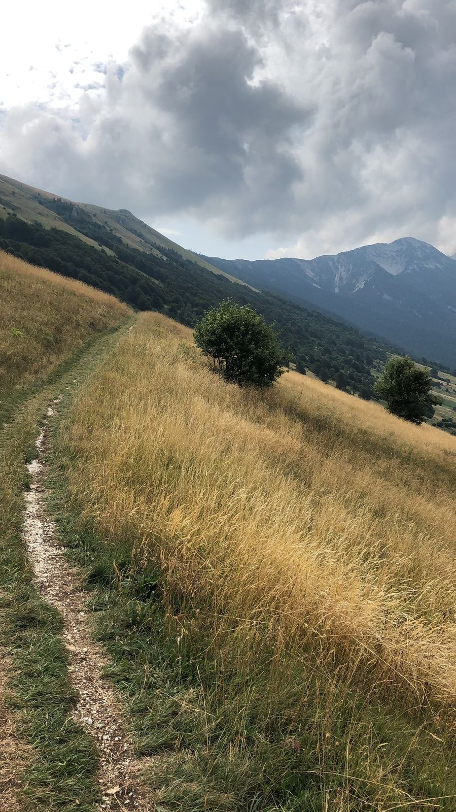
Start in Malcesine, vorbei an der Talstation der Seilbahn und dann über die Maultierpfade Richtung San Michele (Mittelstation) auf die Wege Nummer 4 und Nummer 10 hinauf zum „Monte Baldo“ (Bergstation Tratto Spino)
Route
Santo Stefano
(86 m)
Place of worship
1,1 km
Malcesine
(85 m)
Village
1,2 km
Punta Di Vo
(1.535 m)
Summit
10,4 km
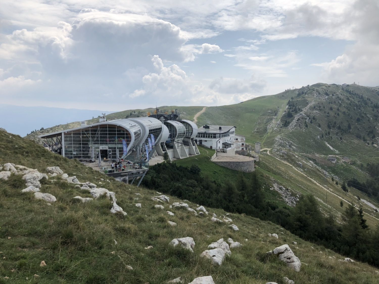
Stazione Monte Baldo
(1.752 m)
Gondola station
12,4 km
Route
Malcesine nach Tratto Spino (Monte Baldo)
medium
Hiking
12,57
km
Santo Stefano
(86 m)
Place of worship
1,1 km
Malcesine
(85 m)
Village
1,2 km
Punta Di Vo
(1.535 m)
Summit
10,4 km
Stazione Monte Baldo
(1.752 m)
Gondola station
12,4 km

Equipment
Gutes/festes Schuhwerk (B sollte absolut reichen) und Stöcker
Additional information & tips
Tips
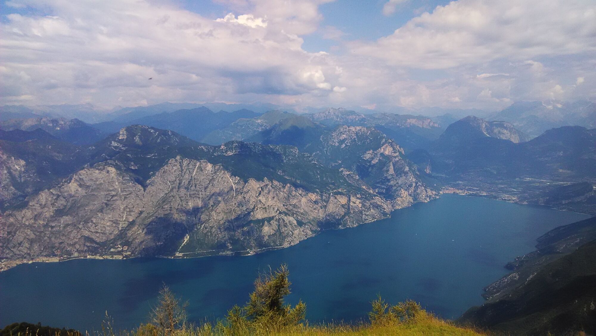
Wechselndes Wetter beachten (Gewitter) und gerade im Sommer genug Wasser mitnehmen (1,5-2,0 Liter für den Aufstieg).
Valuations
5
(2)
4
(0)
3
(2)
2
(0)
1
(0)
Popular tours in the neighbourhood
- 4,2
Tremalzo Big - Tour
heavyMountainbike45,6 km - 4,6
Walking around Lake Ledro
lightHiking9,40 km - 4,7
Via Ferrata Fausto Susatti - Cima Capi (from Ledro)
mediumVia ferrata7,11 km - 4,7
Via Ferrata delle Laste e Gallerie di Cima Rocca
lightVia ferrata6,38 km - 5,0
Bastione and Santa Barbara, the lords of Riva del Garda
mediumHiking2,94 km - 3,9
The forts of Monte Brione
lightHiking6,11 km - 4,6
Sentiero Busatte Tempesta
lightHiking7,90 km - 4,0
Riva - Ponale - Ledrosee - Bacca Fortini
heavyMountainbike39,0 km - 4,5
Ferrata via dell amicizia
mediumVia ferrata11,8 km - 4,4
Ferrata via dell'amicizia
mediumVia ferrata11,5 km
Hiking & Tracking

Over 550.000 tour suggestions, detailed maps and an intuitive route planner make the app a must-have for all nature enthusiasts.

Don't miss out on offers and inspiration for your next holiday
Subscribe to the newsletter
Error
An error has occurred. Please try again.Thank you for your registration
Your e-mail address has been added to the mailing list.
Tours throughout Europe
Austria Switzerland Germany Italy Slovenia France Netherlands Belgium Poland Liechtenstein Czechia Slovakia Spain Croatia Bosnia and Herzegovina Luxembourg Andorra Portugal Iceland United Kingdom Ireland Greece Albania North Macedonia Malta Norway Montenegro Moldova Kosovo Hungary San Marino Romania Estonia Latvia Belarus Cyprus Lithuania Serbia Bulgaria Monaco Denmark Sweden Finland