Valdobbiadene - Malga Budui - Maria Regina della Pace - Col Miotto
heavy
Navigate
Navigate
Get this tour on your mobile
Valdobbiadene - Malga Budui - Maria Regina della Pace - Col Miotto
heavy
Mountainbike
58,52
km
Scan the QR code and start navigation in the bergfex app

Hiking & Tracking


Distance
58,52
km
Duration
07:50
h
Ascent
1.581
m
Sea level
223 -
1.498
m
Track download
Valdobbiadene - Malga Budui - Maria Regina della Pace - Col Miotto
heavy
Mountainbike
58,52
km


Route
Valdobbiadene
(251 m)
City
0,3 km
San Floriano
(360 m)
Place of worship
2,6 km
Pianezze di Valdobbiadene
(1.077 m)
Settlement
11,2 km
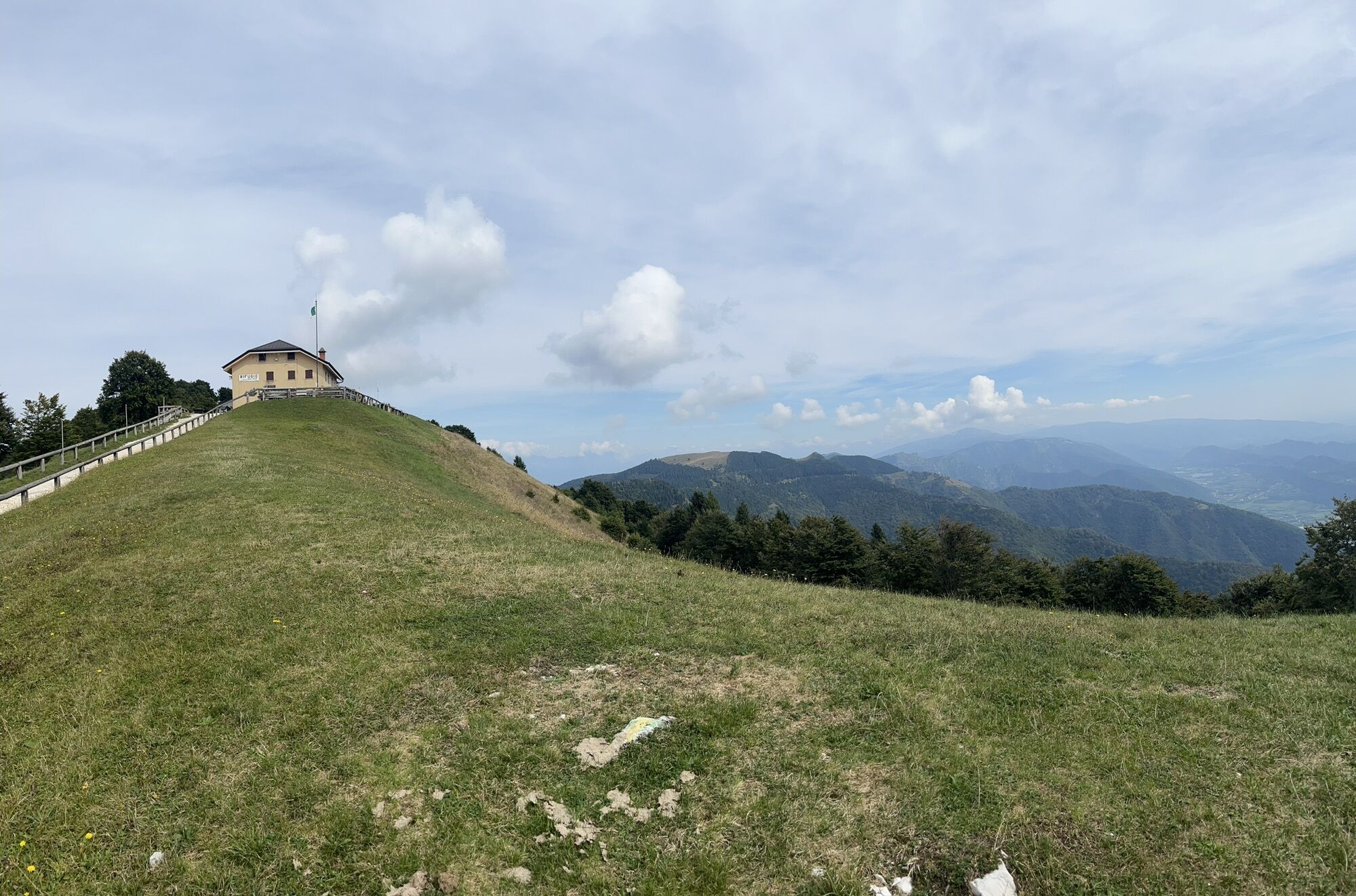
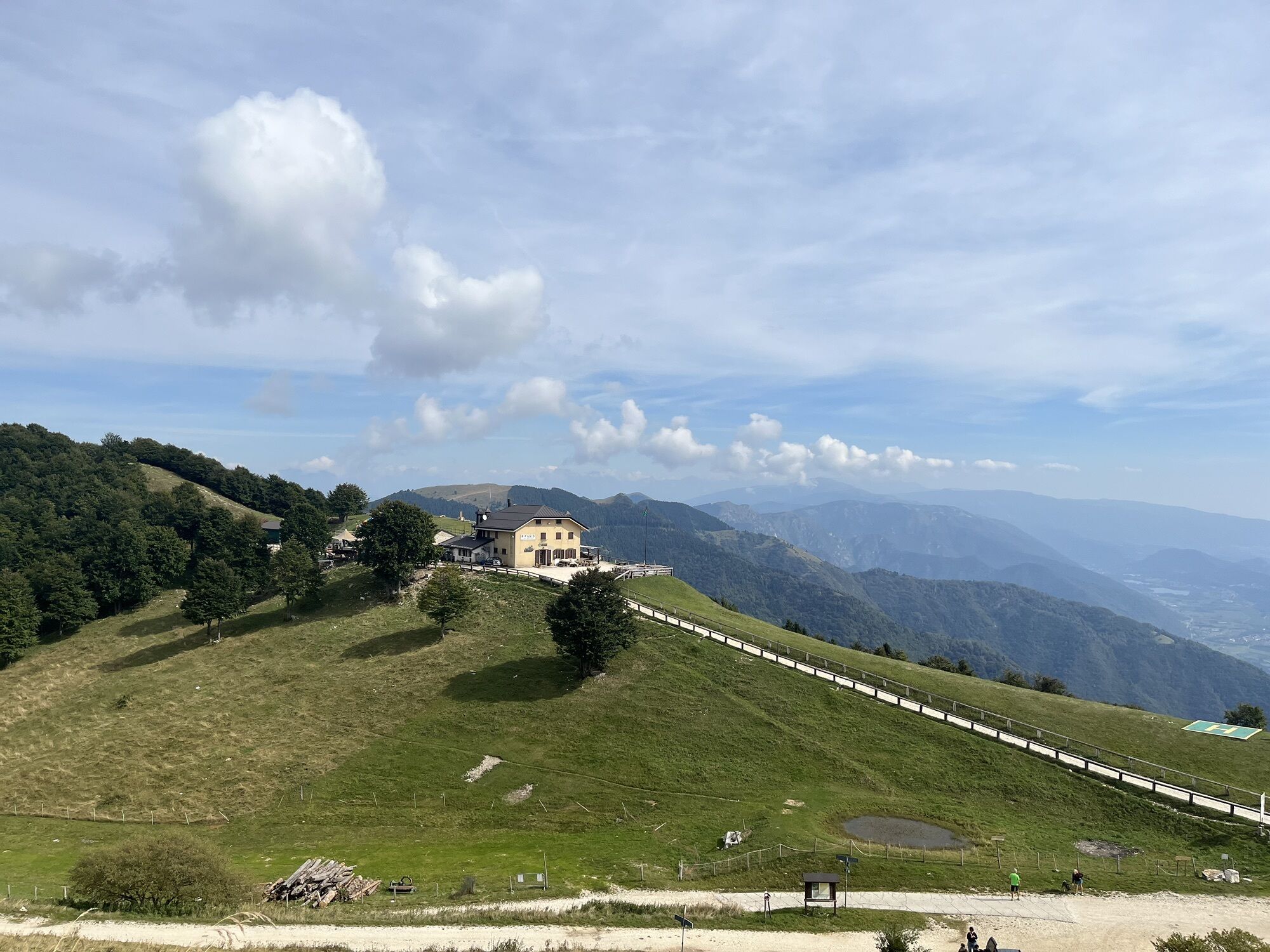
Malga Budui
(1.218 m)
Shelter
16,0 km
Posa Puner
(1.322 m)
Corridor/terrain
17,5 km
Col Miotto
(1.047 m)
Summit
33,6 km
San Vito
(233 m)
Settlement
56,5 km
Route
Valdobbiadene - Malga Budui - Maria Regina della Pace - Col Miotto
heavy
Mountainbike
58,52
km
Valdobbiadene
(251 m)
City
0,3 km
San Floriano
(360 m)
Place of worship
2,6 km
Pianezze di Valdobbiadene
(1.077 m)
Settlement
11,2 km
Stella Alpina
(1.080 m)
Restaurant
11,2 km
Malga Budui
(1.218 m)
Shelter
16,0 km
Maria Regina della Pace
(1.321 m)
Place of worship
17,4 km
Posa Puner
(1.322 m)
Corridor/terrain
17,5 km
Malga Mariech
(1.501 m)
Restaurant
23,1 km
forcella di monte Zogo
(1.272 m)
Mountain pass
30,4 km
Col Miotto
(1.047 m)
Summit
33,6 km
Malga Molvine Binot
(1.167 m)
Restaurant
34,9 km
San Vito
(233 m)
Settlement
56,5 km
Valdobbiadene
(251 m)
City
58,4 km
No reviews yet
Webcams of the tour
Monte Cesen
Monte Cesen
Monte Cesen
Monte Cesen
Monte Cesen
Monte Cesen
Monte Cesen
Monte Cesen
Monte Cesen
Monte Cesen
Monte Cesen
Monte Cesen
Monte Cesen
Monte Cesen
Monte Cesen
Monte Cesen
Monte Cesen
Monte Cesen
Monte Cesen
Monte Cesen
Monte Cesen
Monte Cesen
Monte Cesen
Monte Cesen
Monte Cesen
Monte Cesen
Monte Cesen
Monte Cesen
Monte Cesen
Monte Cesen
Monte Cesen
Monte Cesen
Monte Cesen
Monte Cesen
Monte Cesen
Monte Cesen
Monte Cesen
Monte Cesen
Monte Cesen
Monte Cesen
Popular tours in the neighbourhood
- 4,0
Ferrata Sass Brusai
mediumVia ferrata9,26 km Grotta azzurra
lightHiking2,68 kmBivacco dei Loff
mediumHiking7,98 kmGrotta Azzurra e Castello di Zumelle Mel Escursionismo
lightHiking3,22 km2024-07-05 Passo San Boldo da Lentiai Trichiana. Ritorno da Follina Miane Valdobbiadene
lightE-Bike75,8 km2024-06-29 Passo Praderadego da Trichiana Passo di San Boldo Revine Lago Cison Valmarino. Discesa a Mel Trichiana
mediumE-Bike62,8 kmGrotta Azzurra e Castello di Zumelle Mel Escursionismo
lightHiking3,22 km- 4,0
Prosecco Morgenwanderung „Uno“
lightHiking6,50 km Monte Sulder partendo da Cornuda
lightHiking3,59 kmSanto Stefano, Venetien/Italien
lightHiking11,2 km
Hiking & Tracking

Over 550.000 tour suggestions, detailed maps and an intuitive route planner make the app a must-have for all nature enthusiasts.

Don't miss out on offers and inspiration for your next holiday
Subscribe to the newsletter
Error
An error has occurred. Please try again.Thank you for your registration
Your e-mail address has been added to the mailing list.
Tours throughout Europe
Austria Switzerland Germany Italy Slovenia France Netherlands Belgium Poland Liechtenstein Czechia Slovakia Spain Croatia Bosnia and Herzegovina Luxembourg Andorra Portugal Iceland United Kingdom Ireland Greece Albania North Macedonia Malta Norway Montenegro Moldova Kosovo Hungary San Marino Romania Estonia Latvia Belarus Cyprus Lithuania Serbia Bulgaria Monaco Denmark Sweden Finland