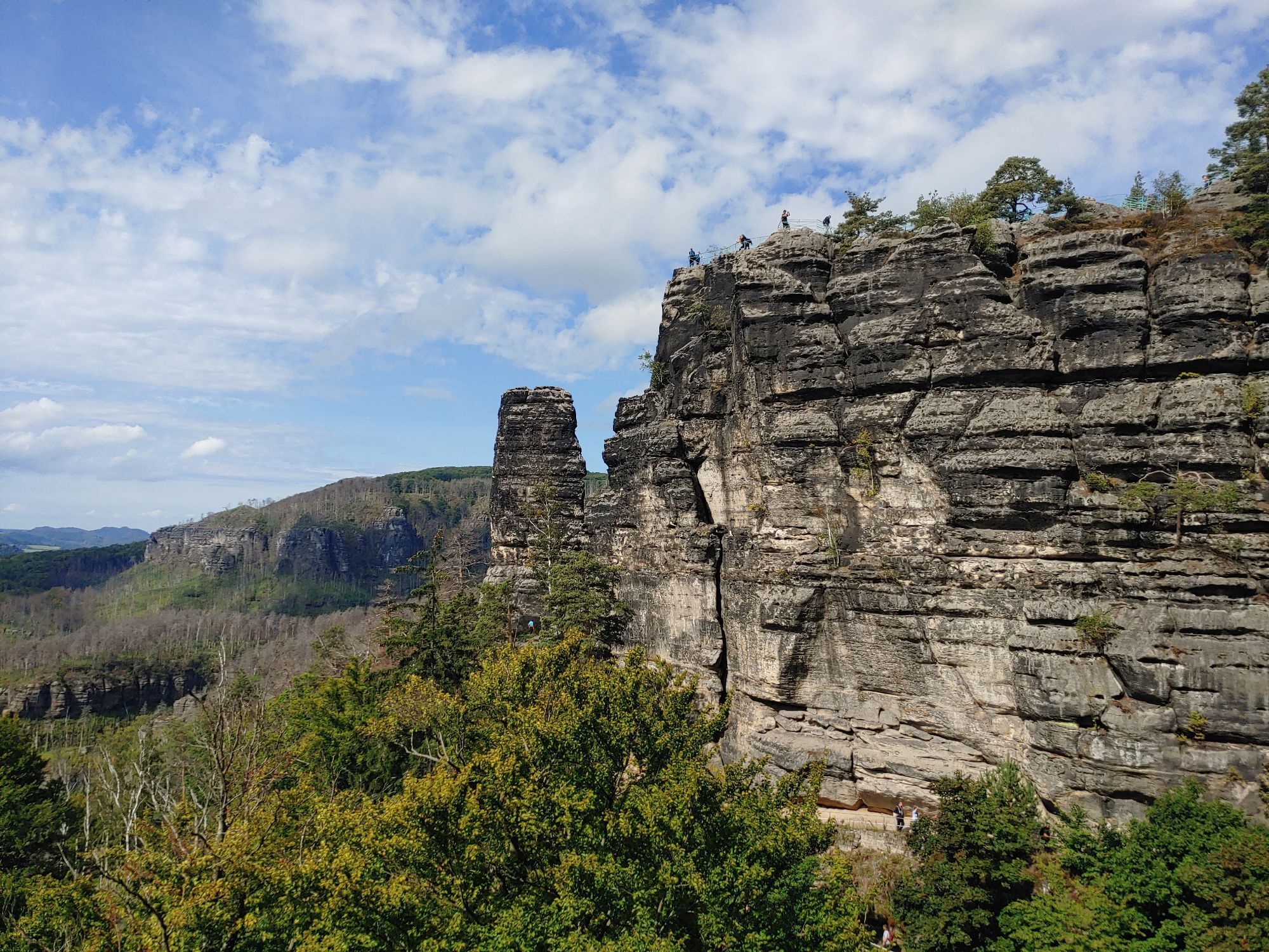
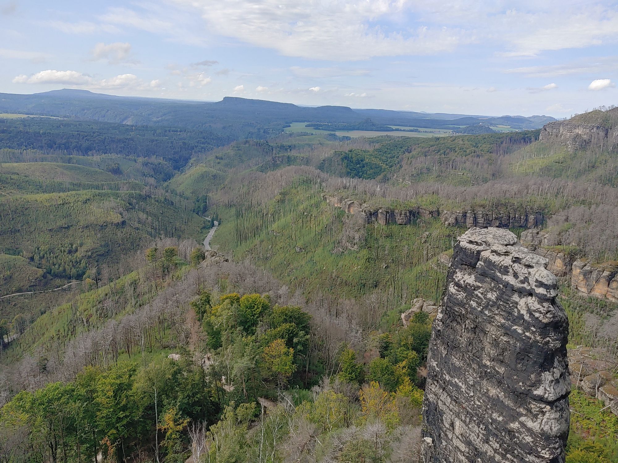
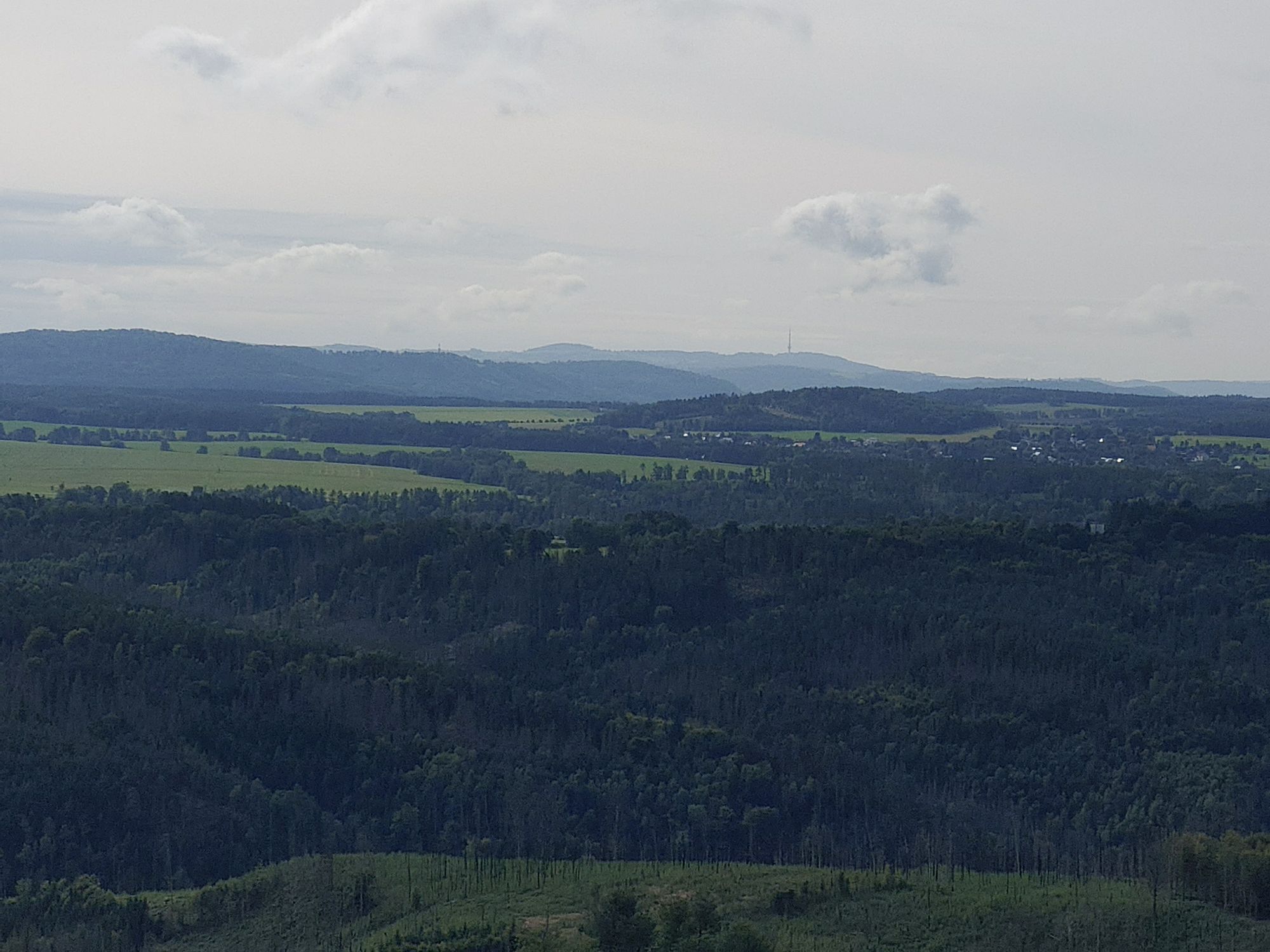
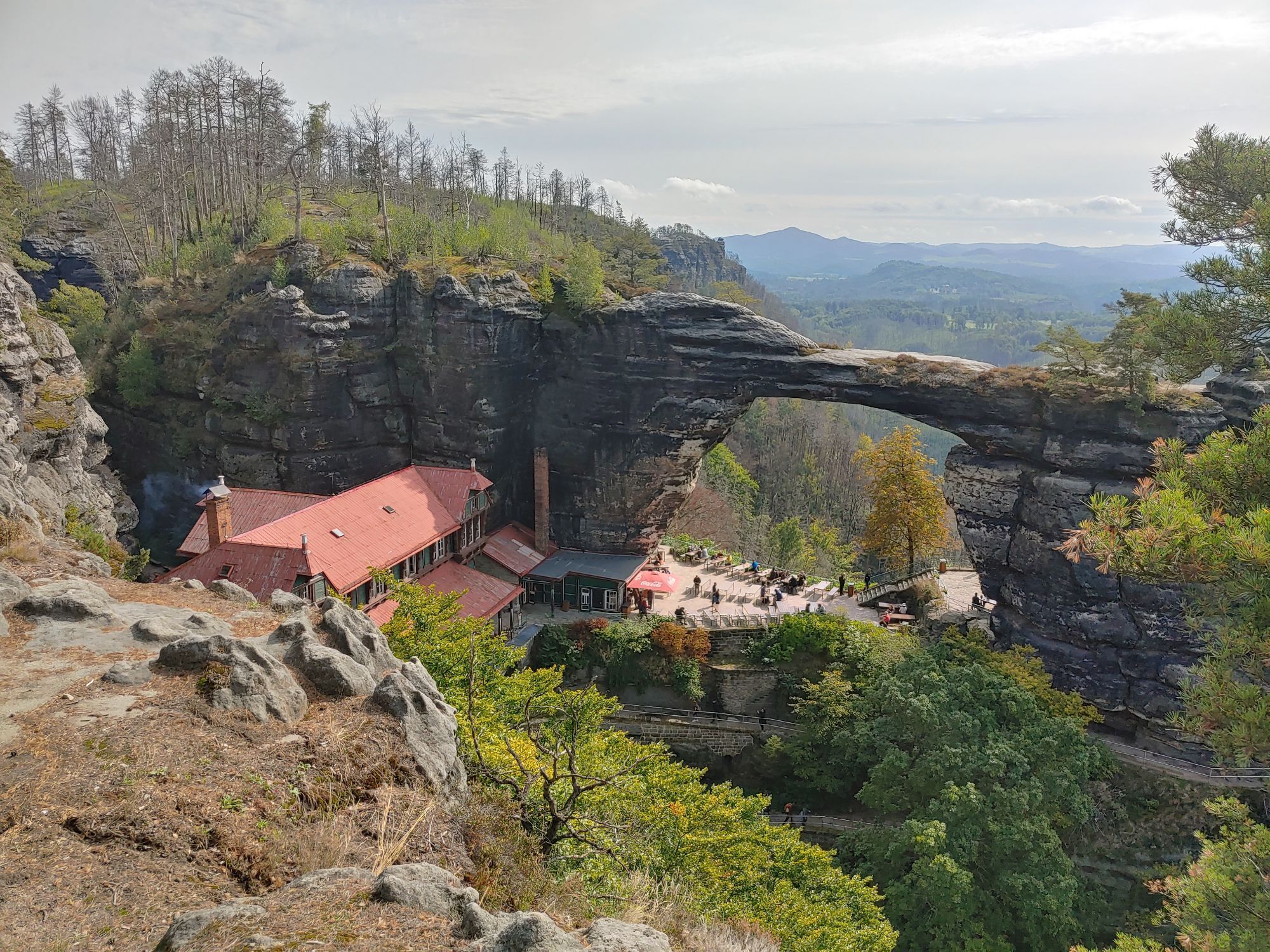
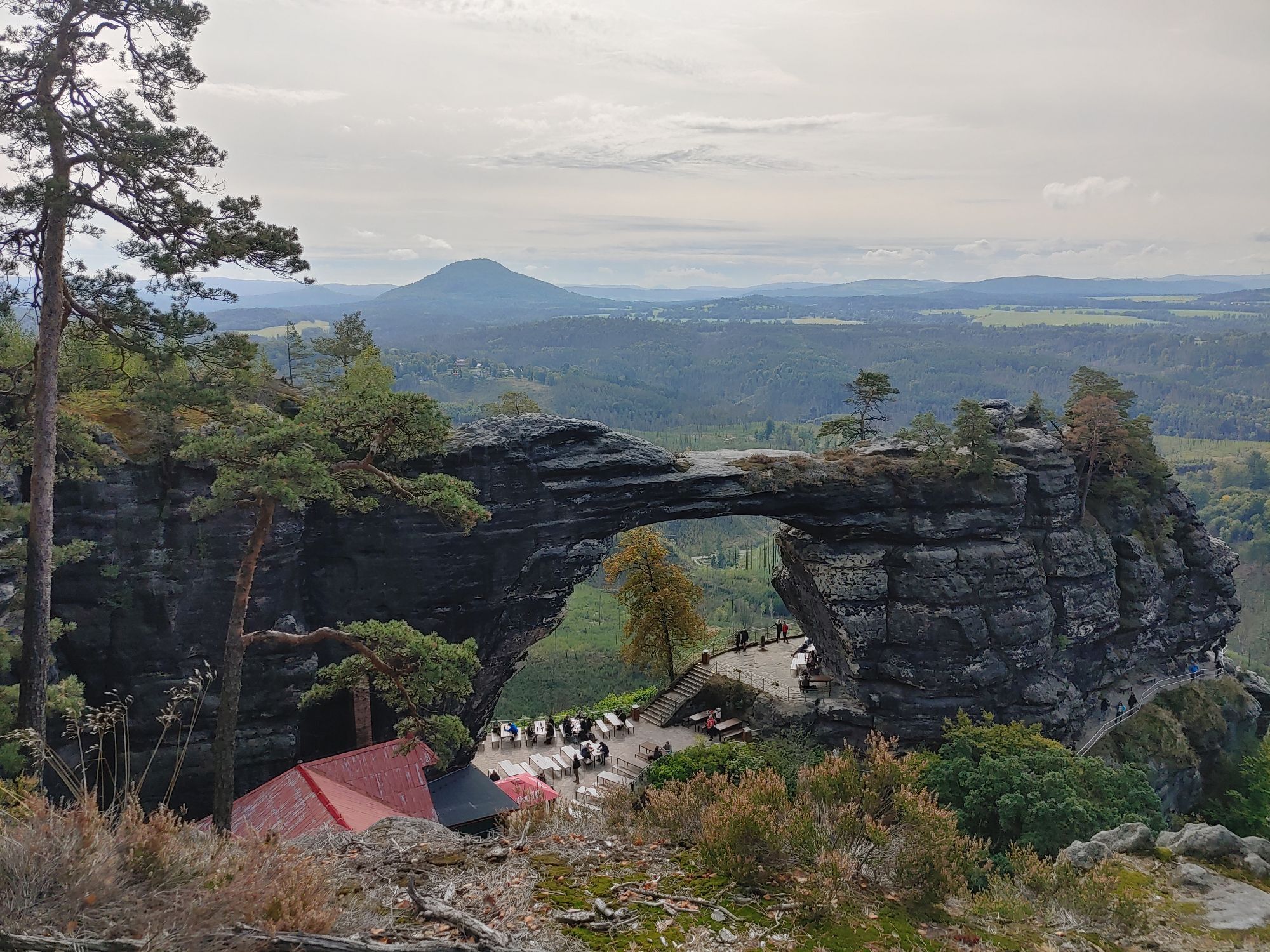
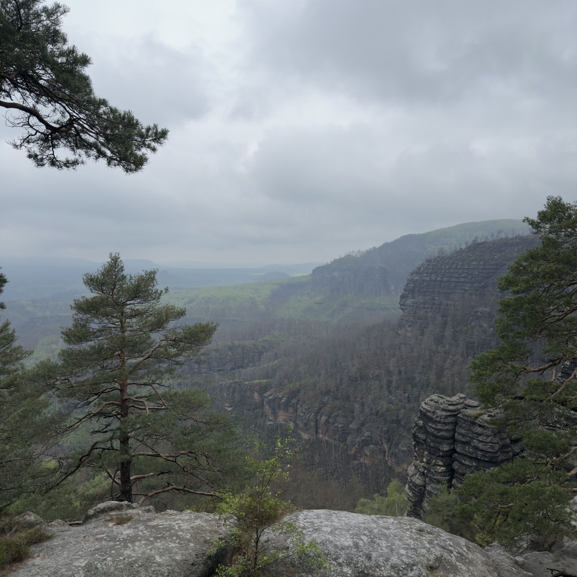
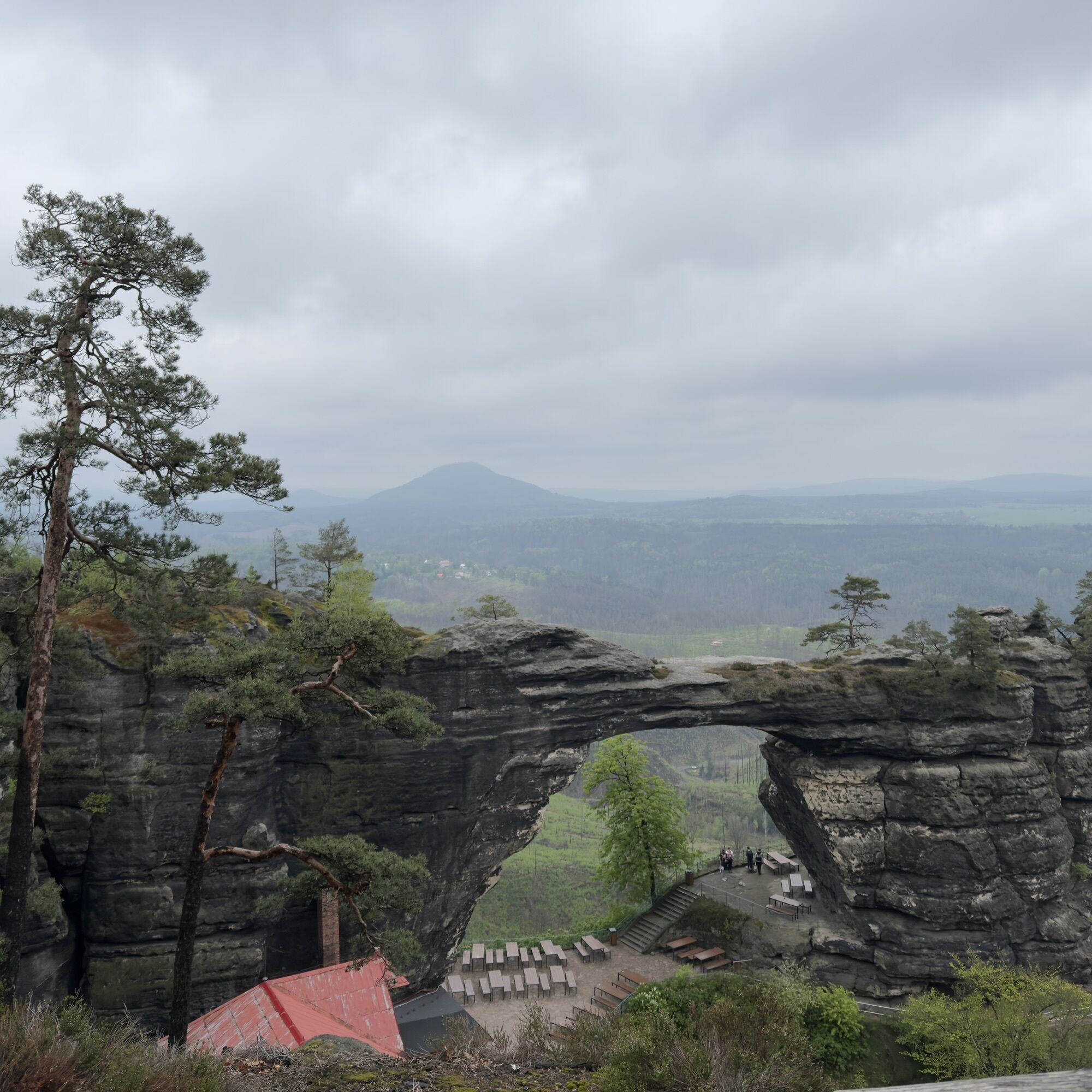
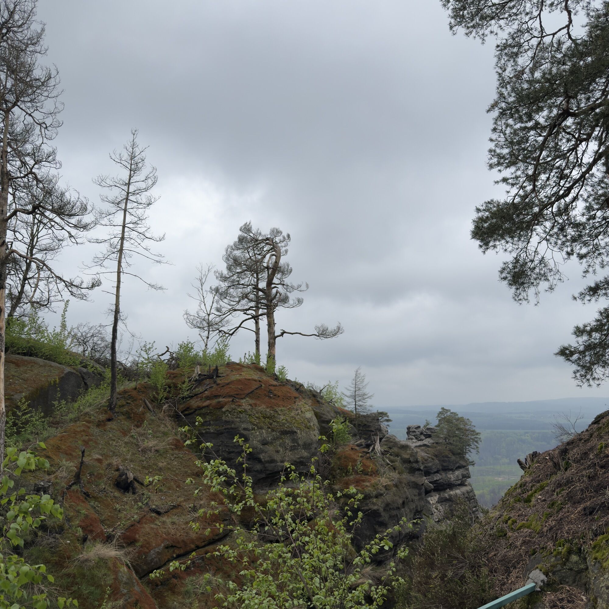
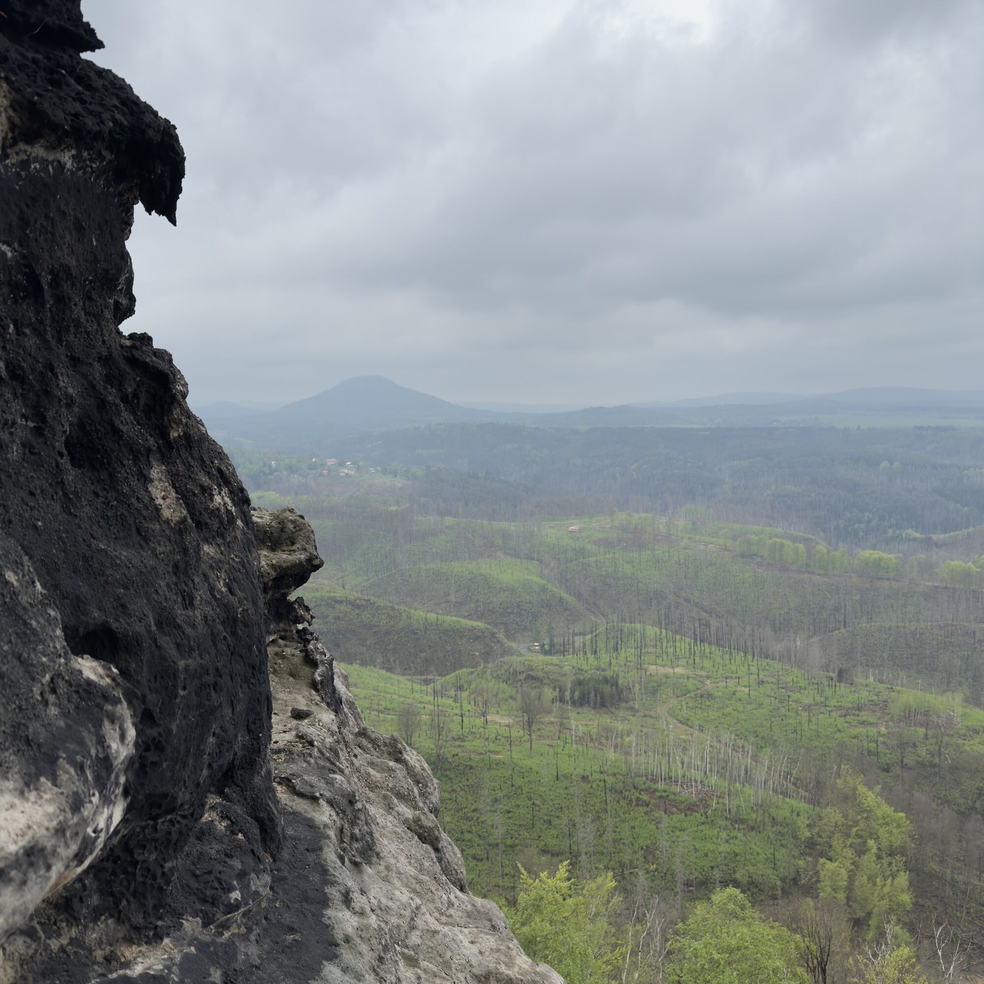
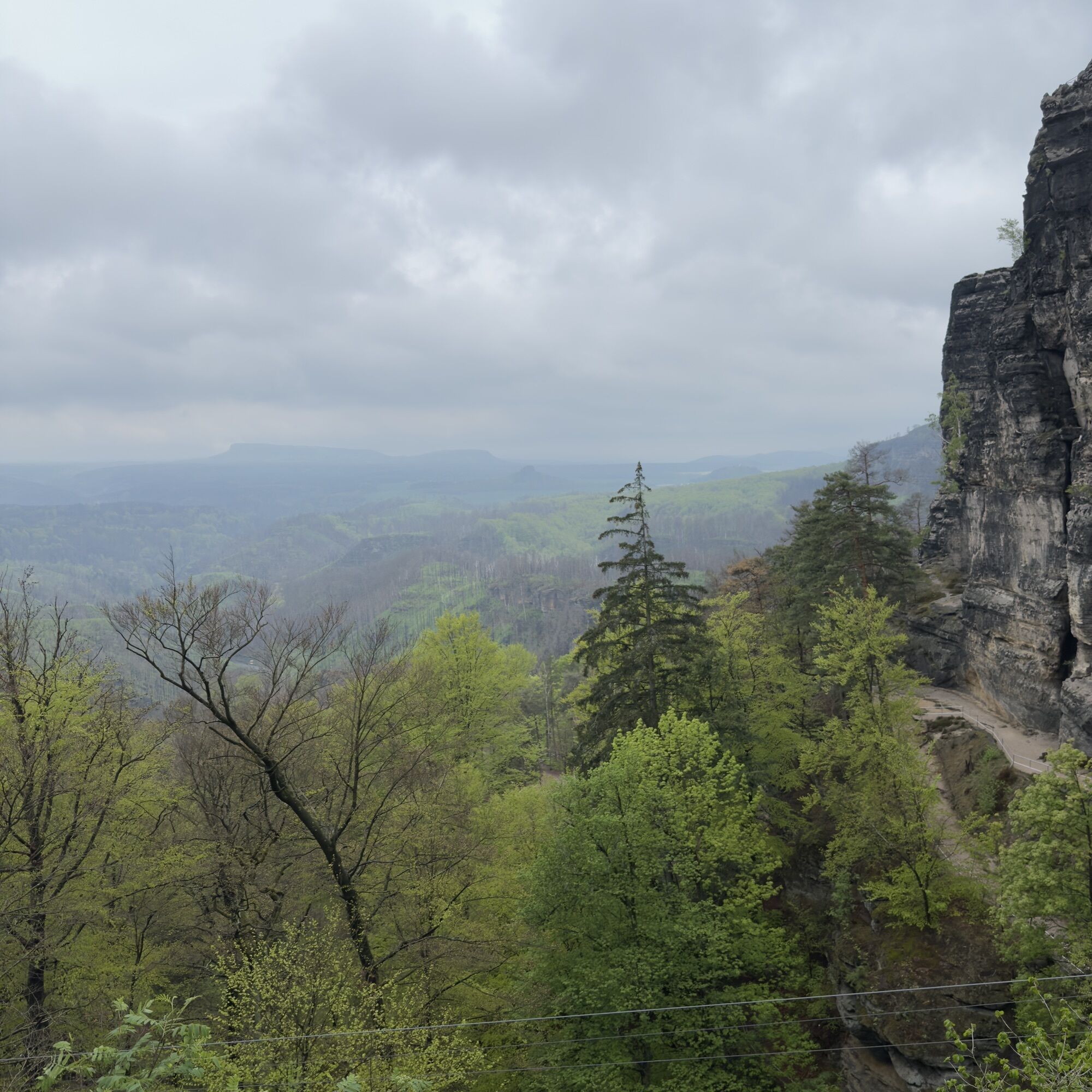
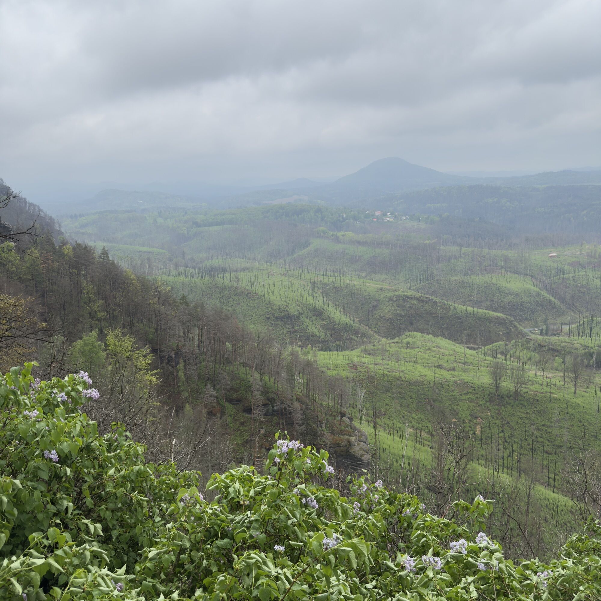
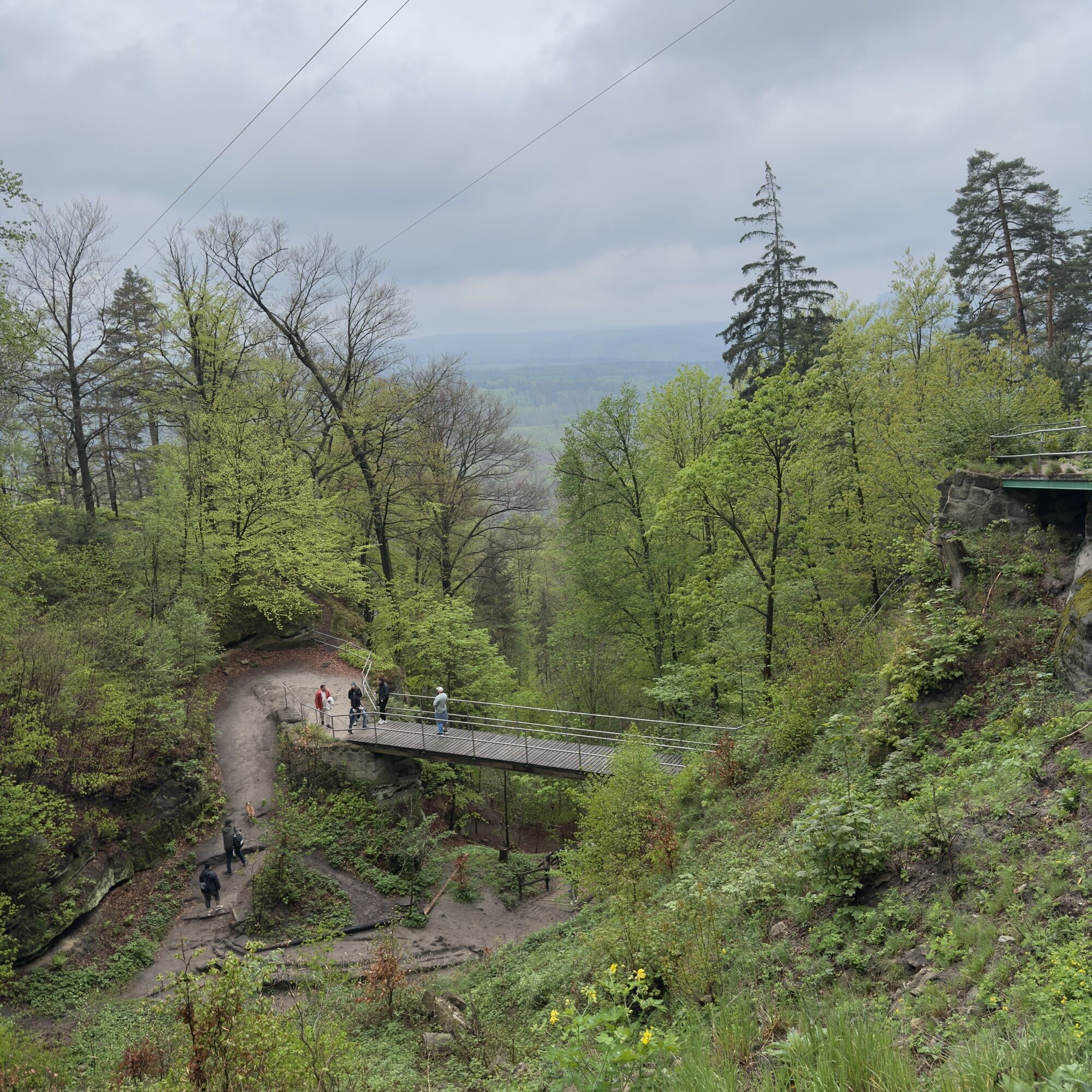
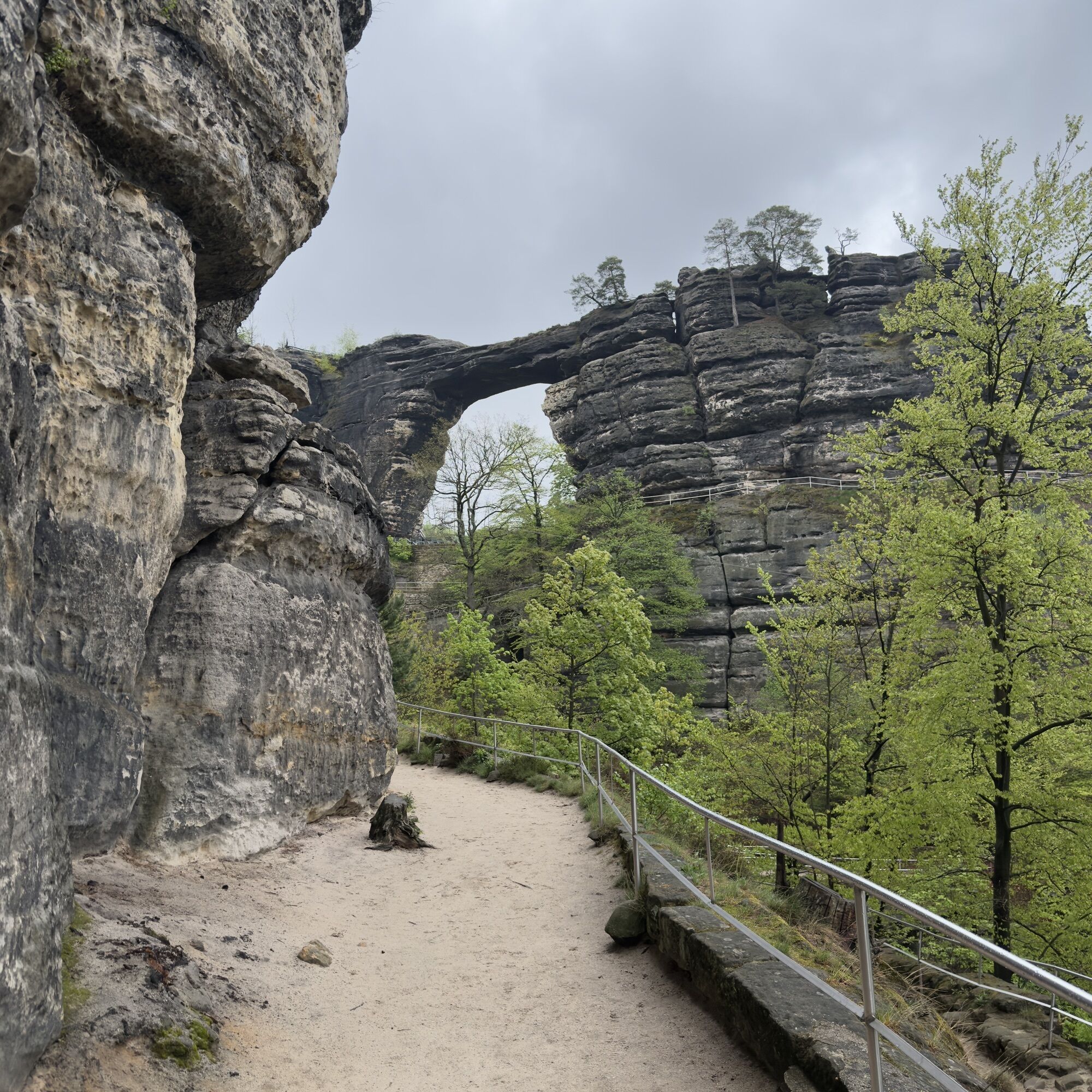
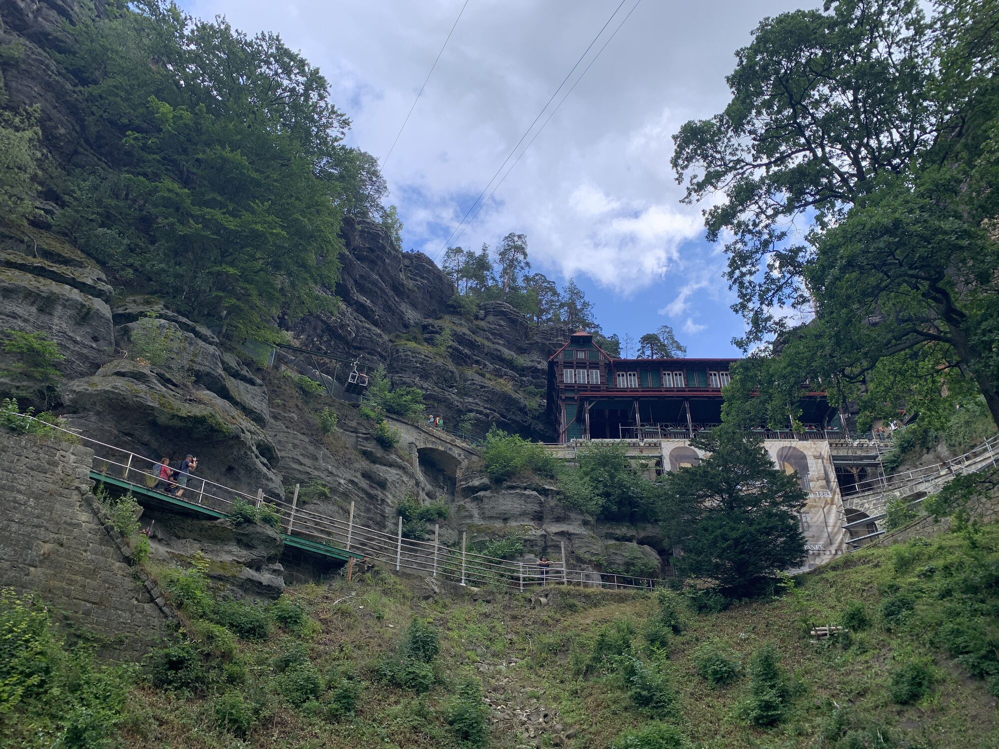
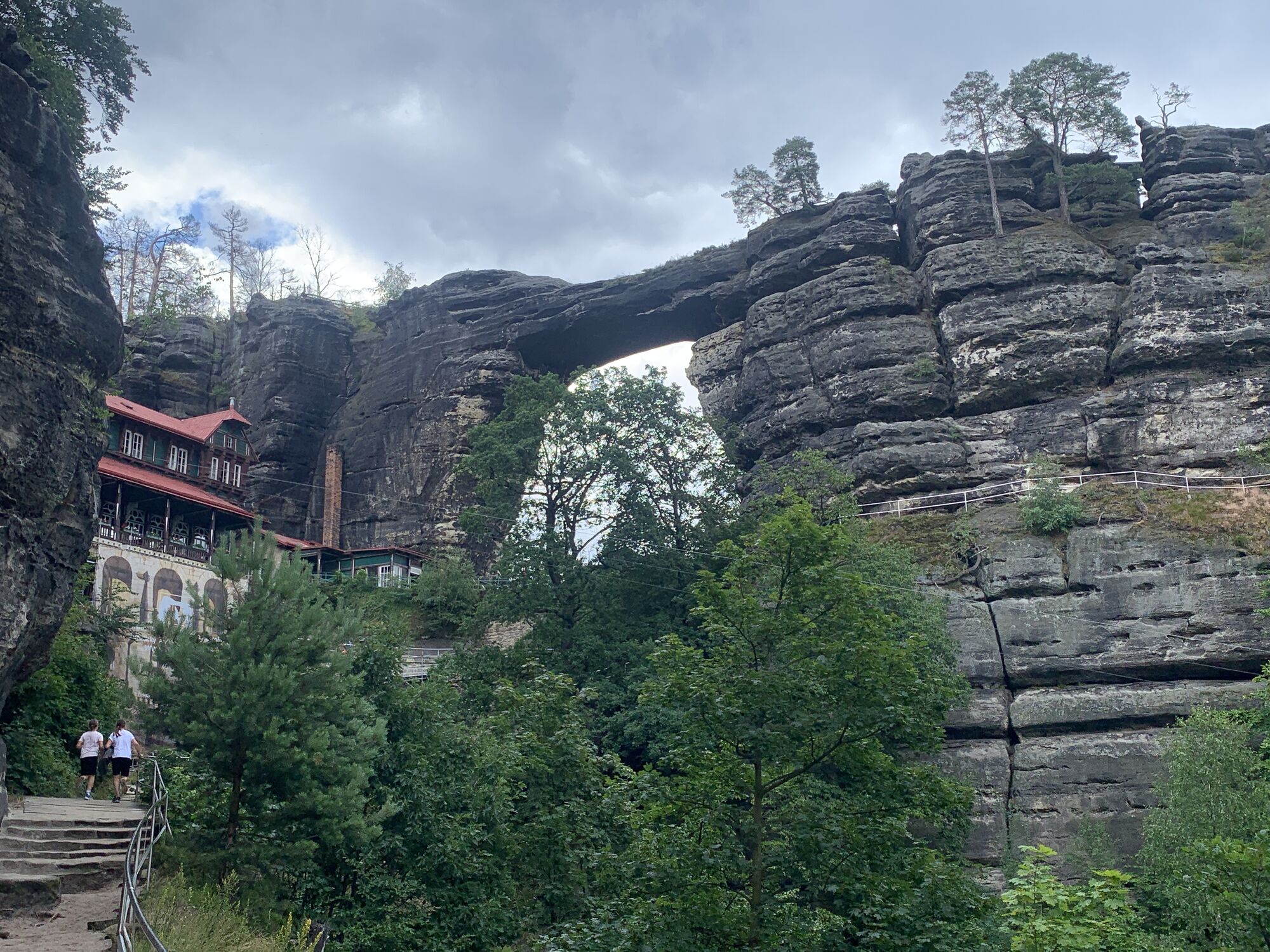
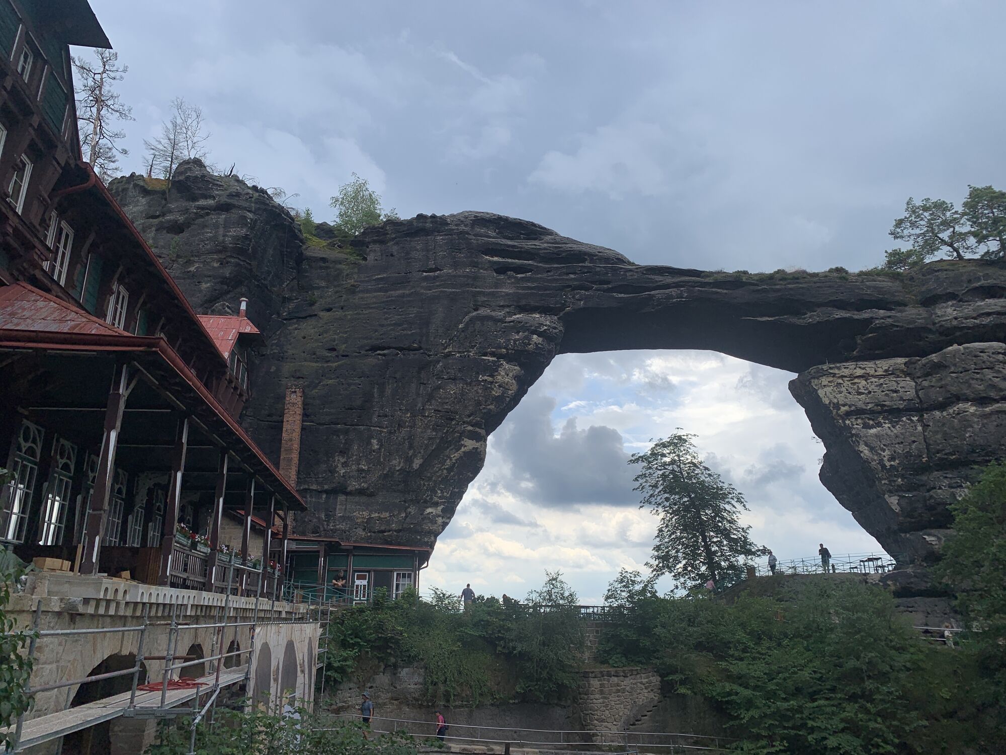
Hrensko/PräbischTor/BöhmischSchweiz/Tschechien
light
Navigate
Navigate
Get this tour on your mobile
Hrensko/PräbischTor/BöhmischSchweiz/Tschechien
light
Hiking
8,51
km
Scan the QR code and start navigation in the bergfex app

Hiking & Tracking


Distance
8,51
km
Duration
02:07
h
Ascent
270
m
Sea level
145 -
422
m
Track download
Hrensko/PräbischTor/BöhmischSchweiz/Tschechien
light
Hiking
8,51
km


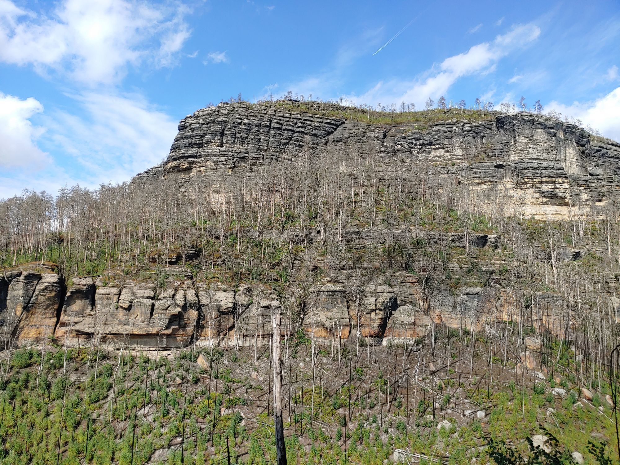
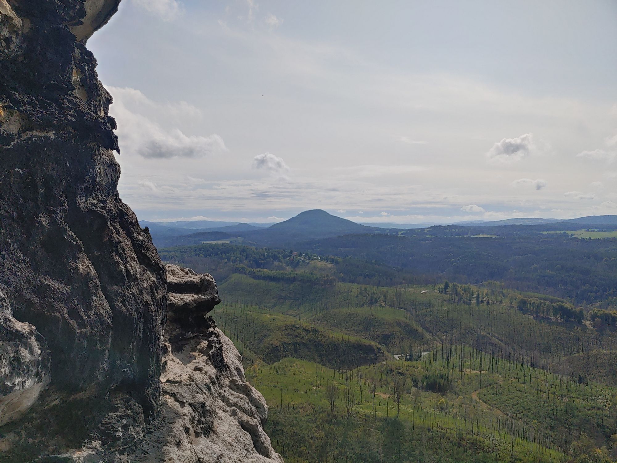
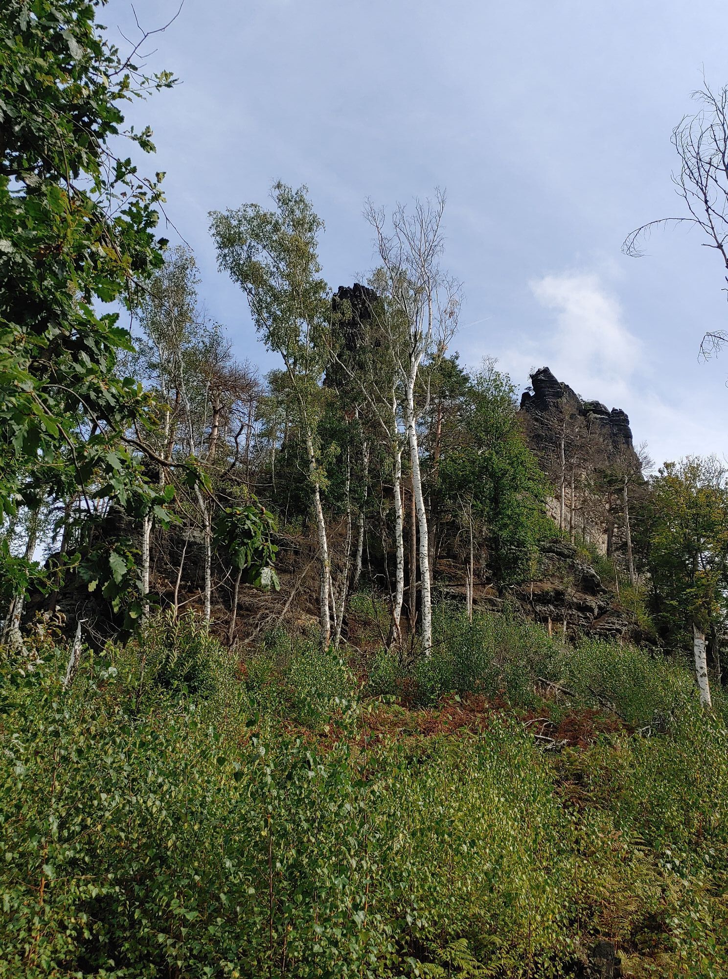
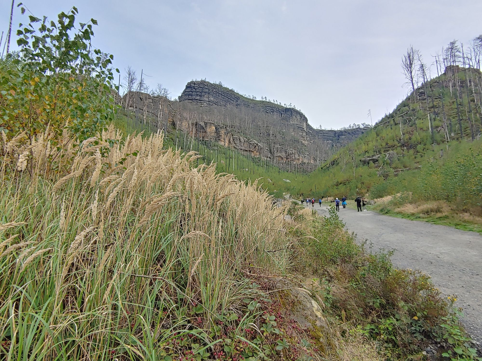
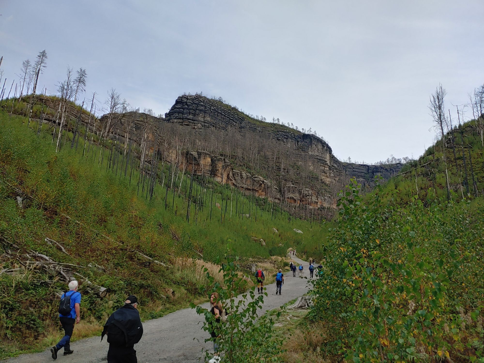
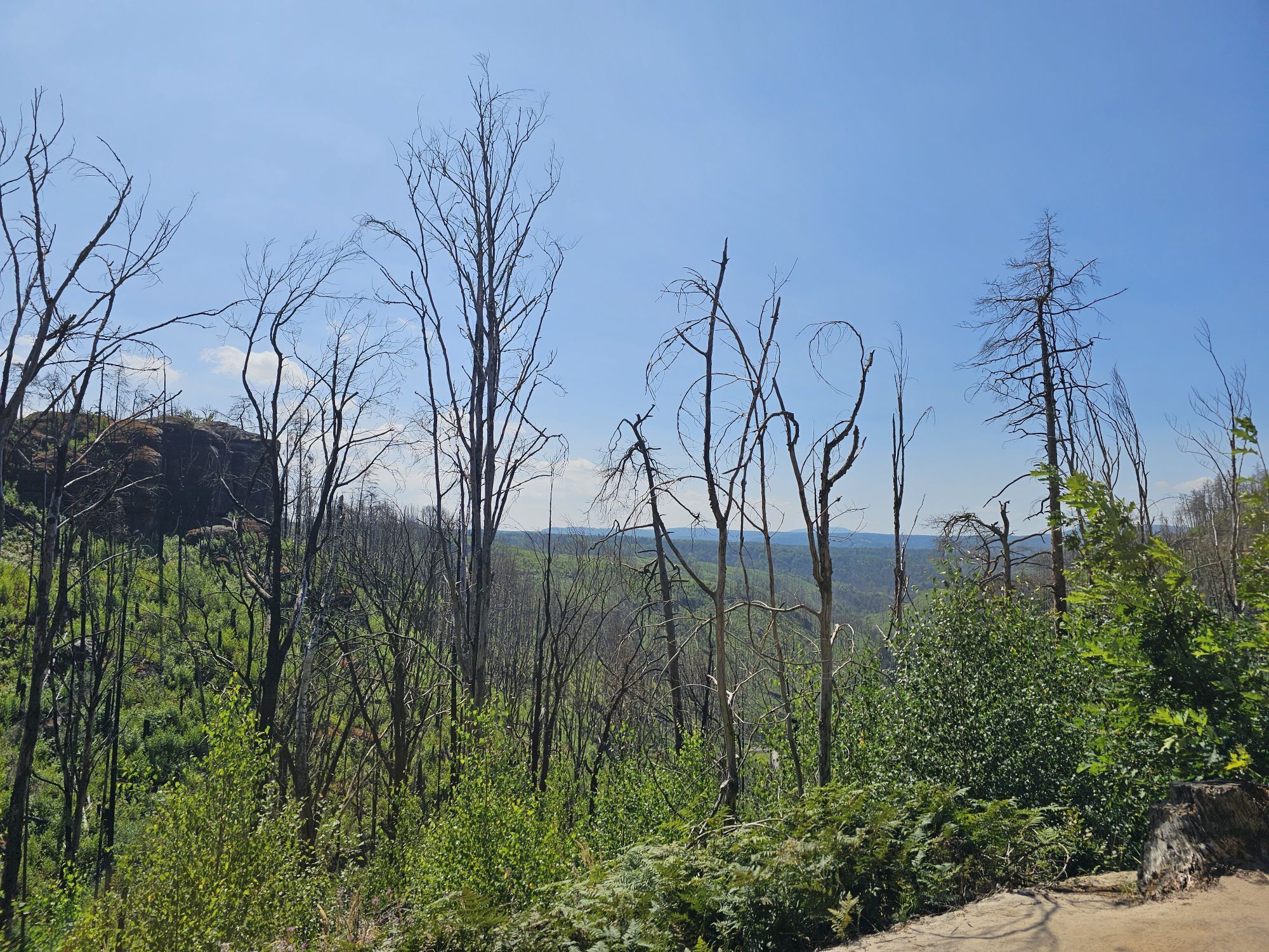
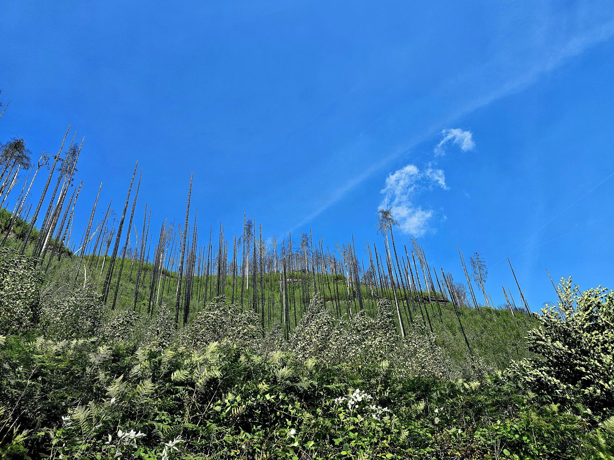
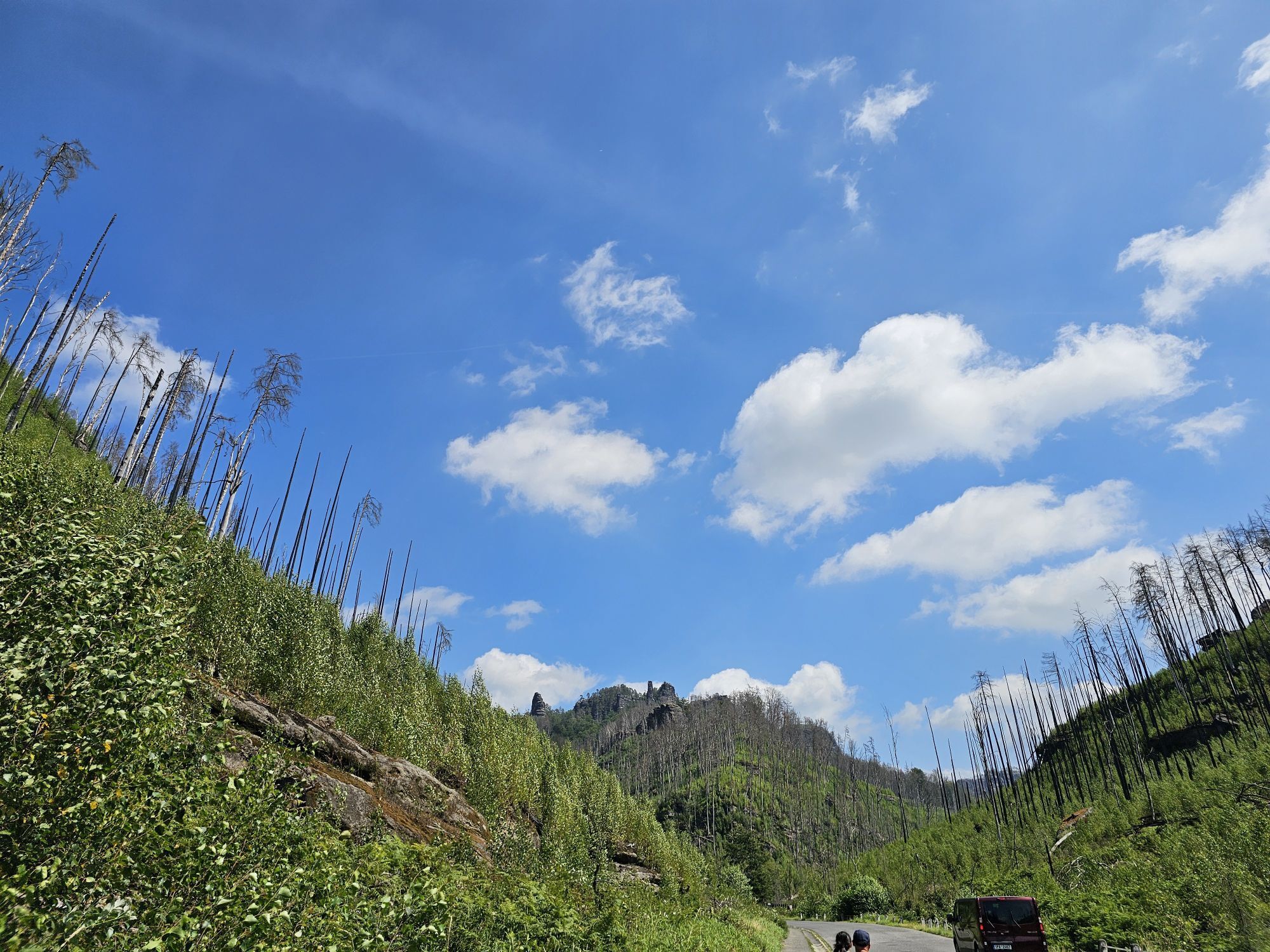
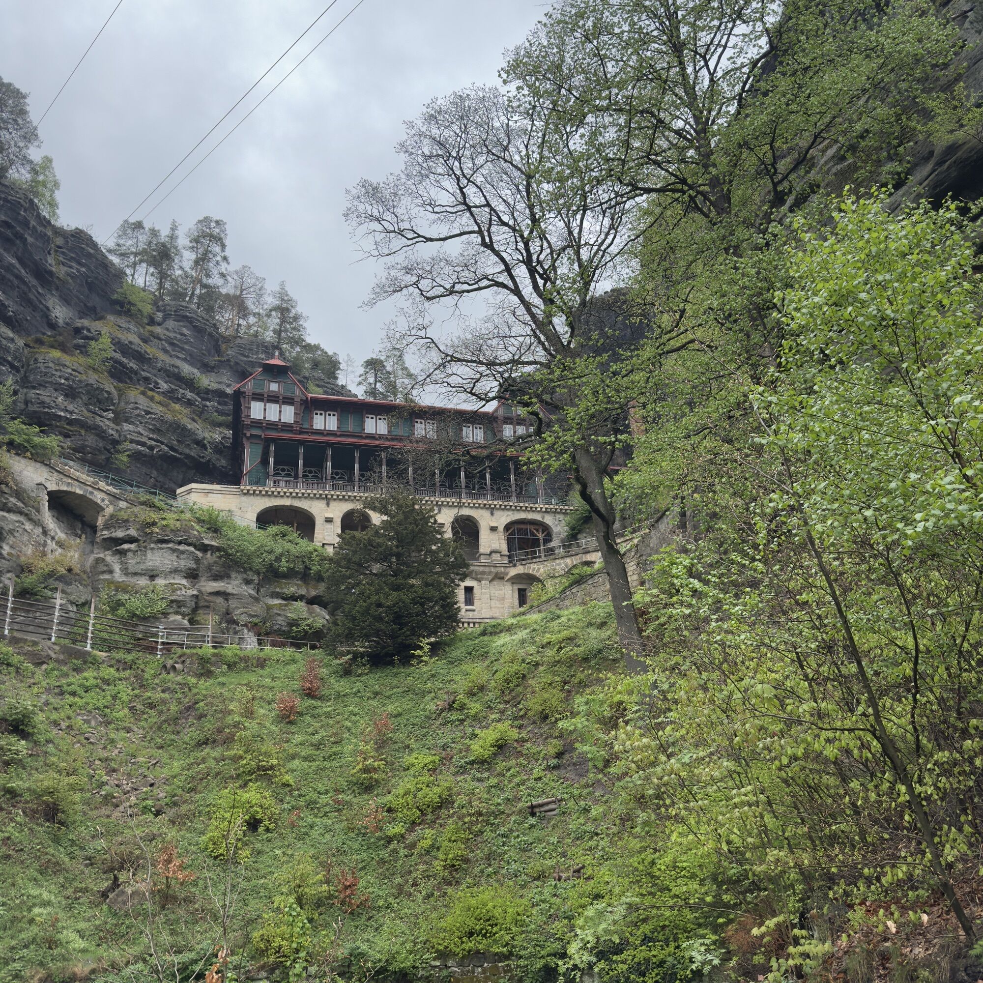
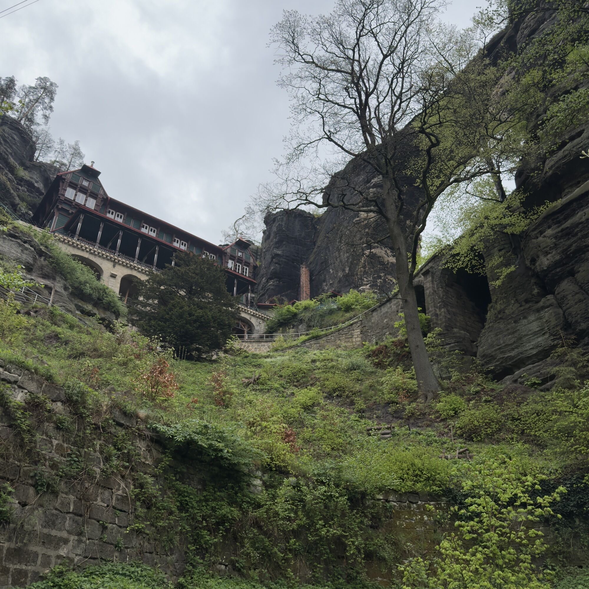
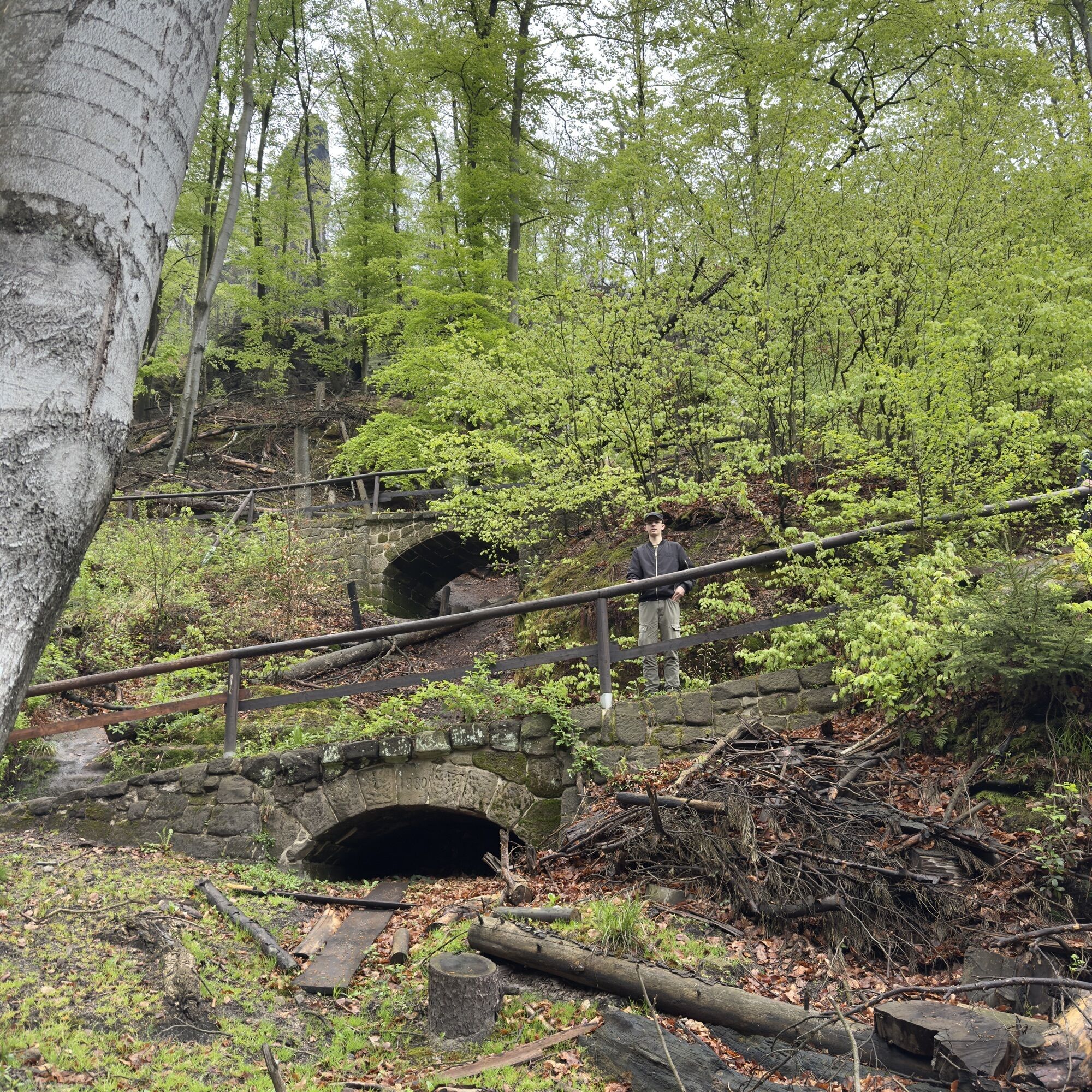
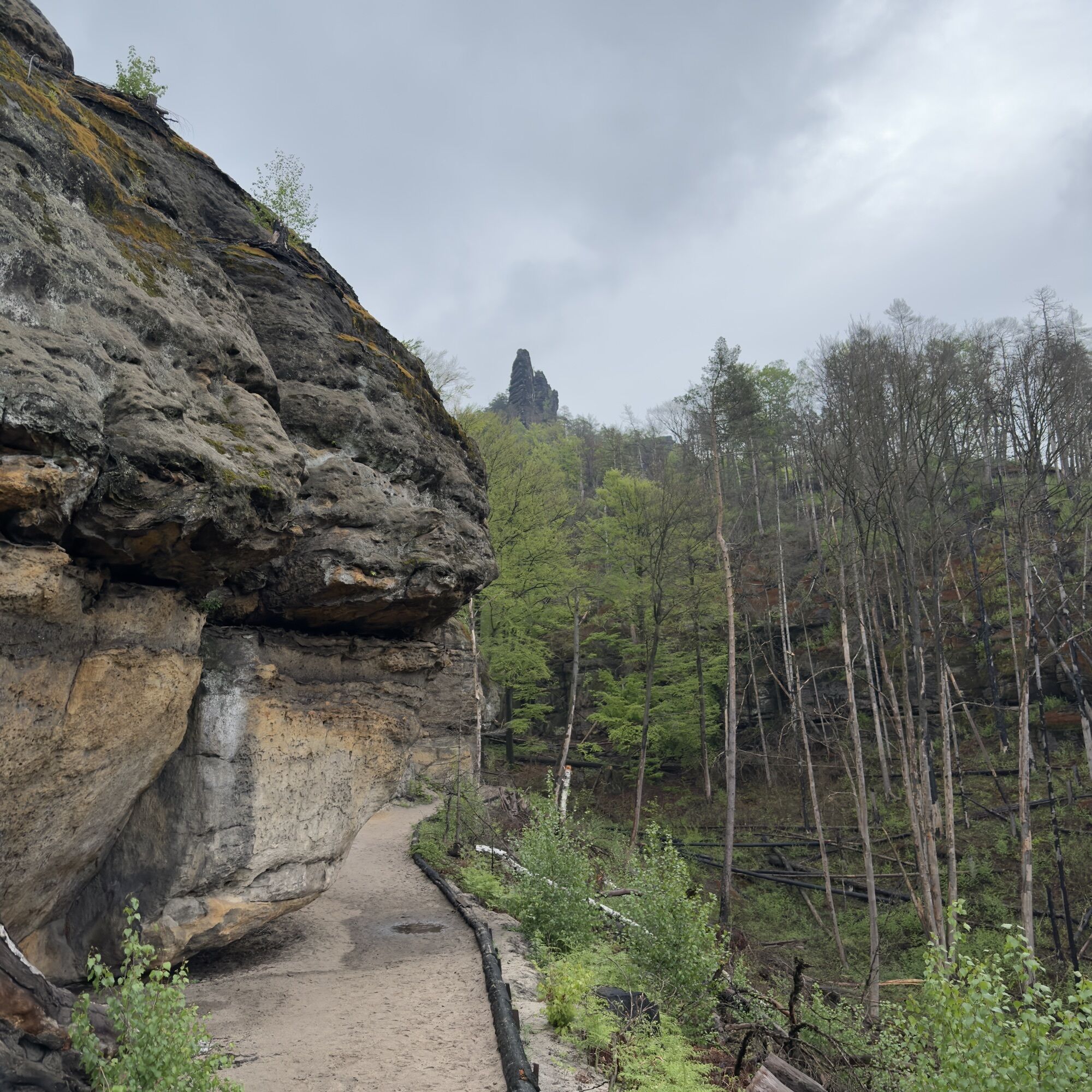
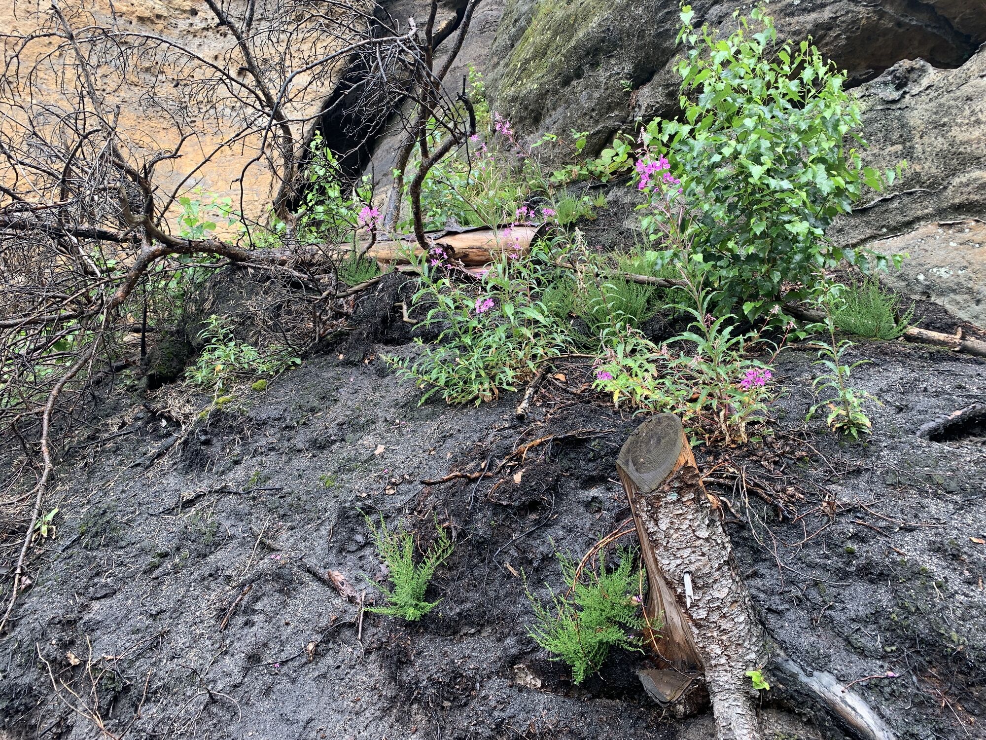
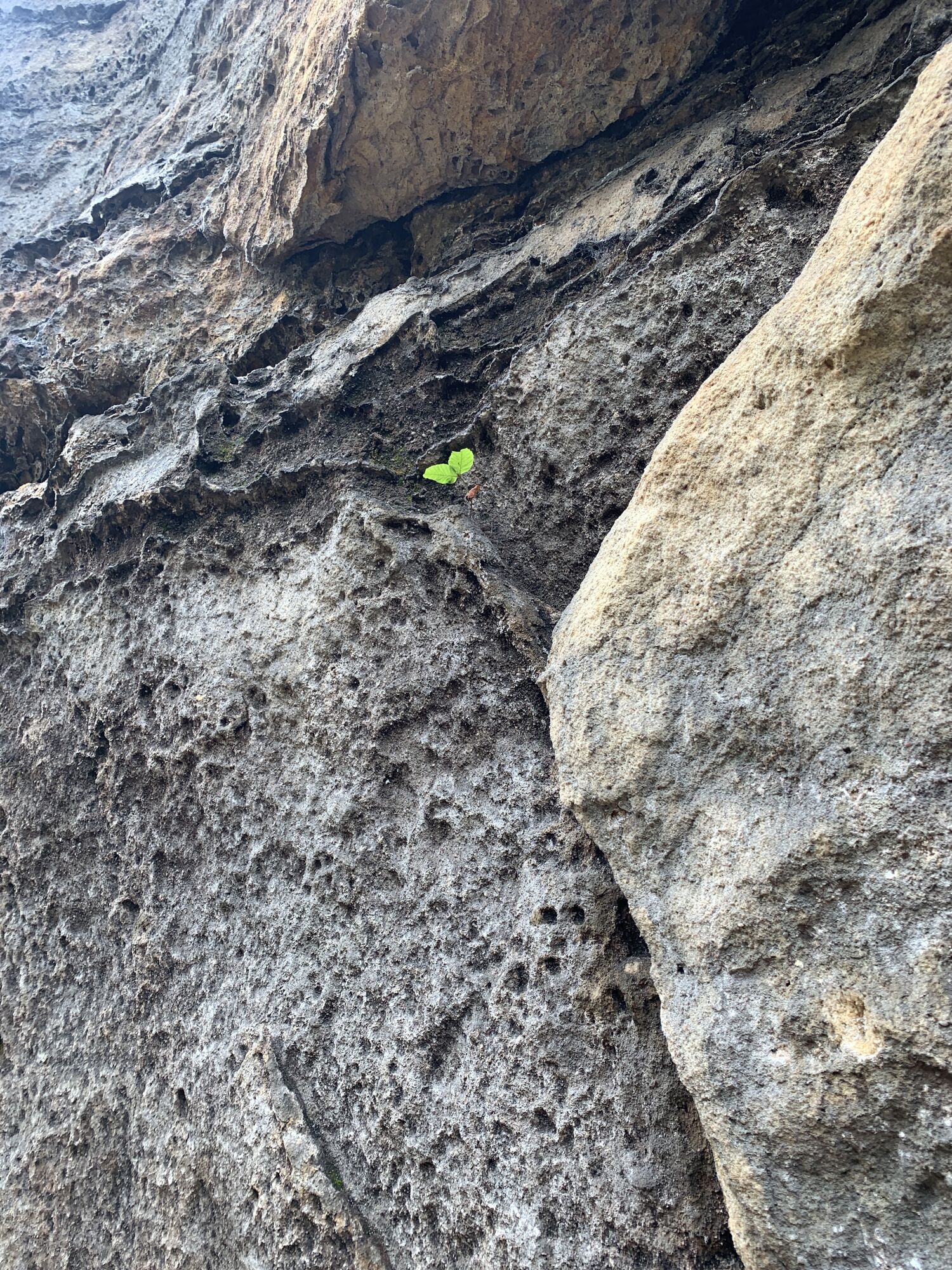
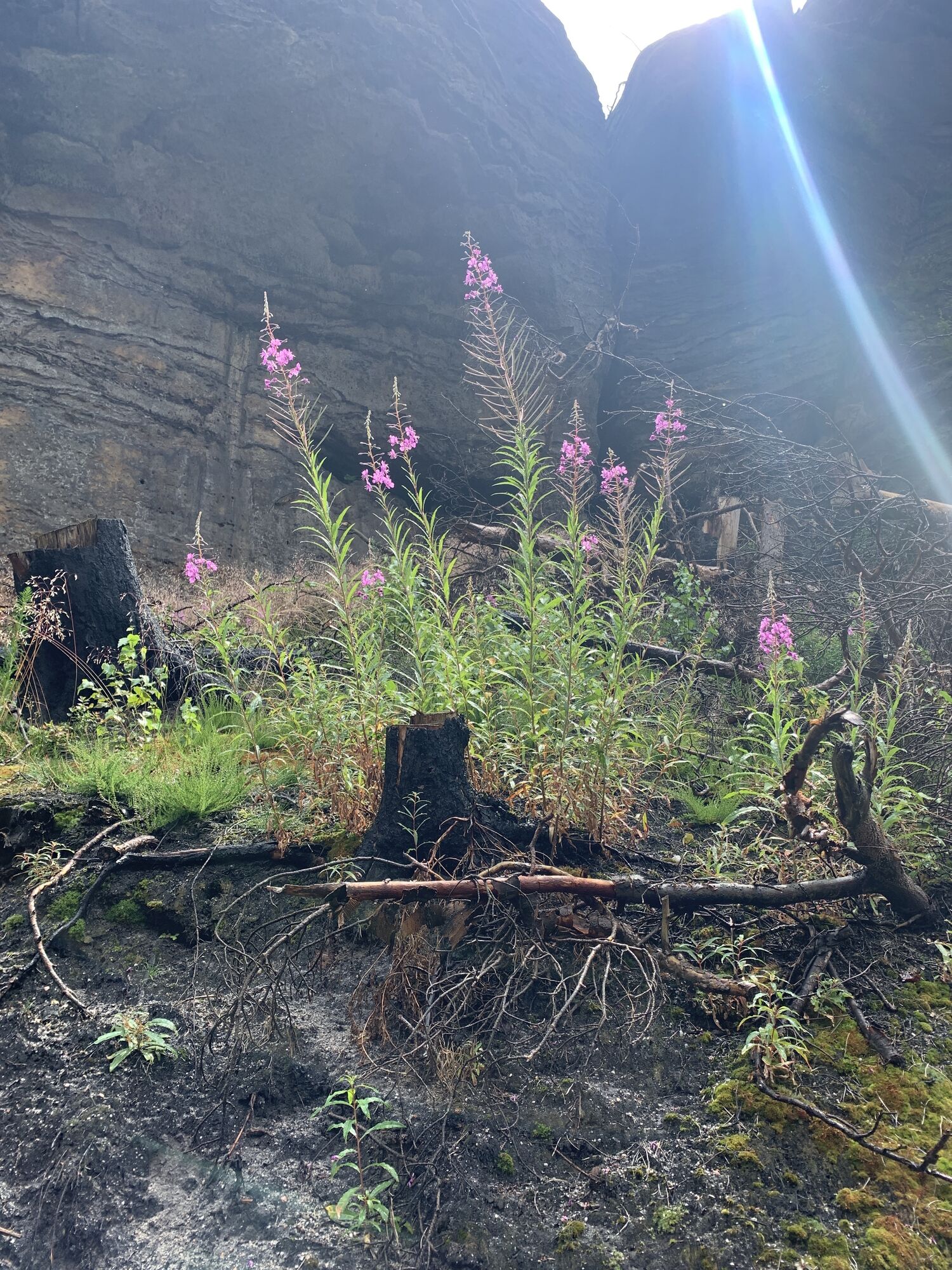
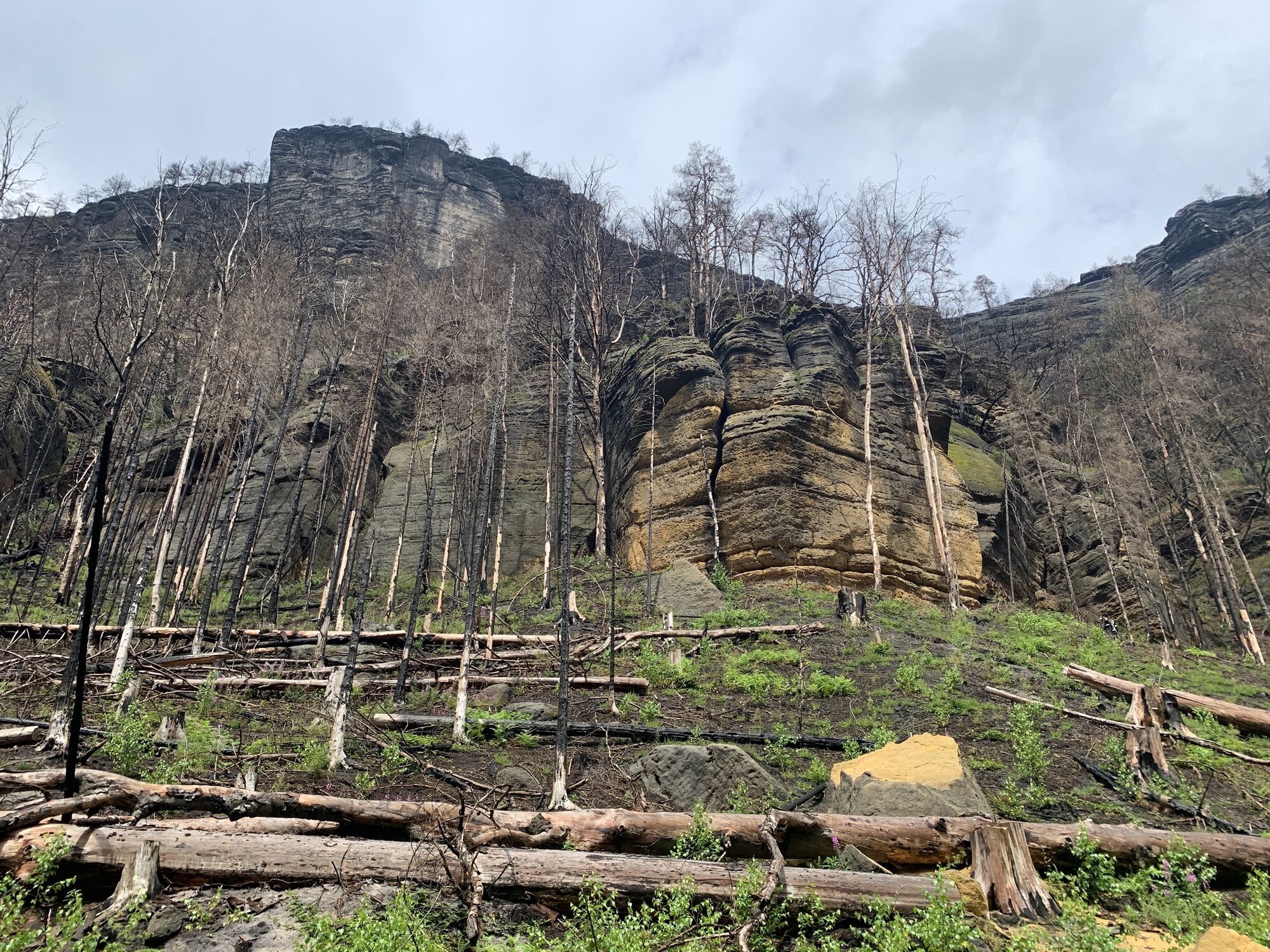
Photos from our users

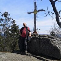
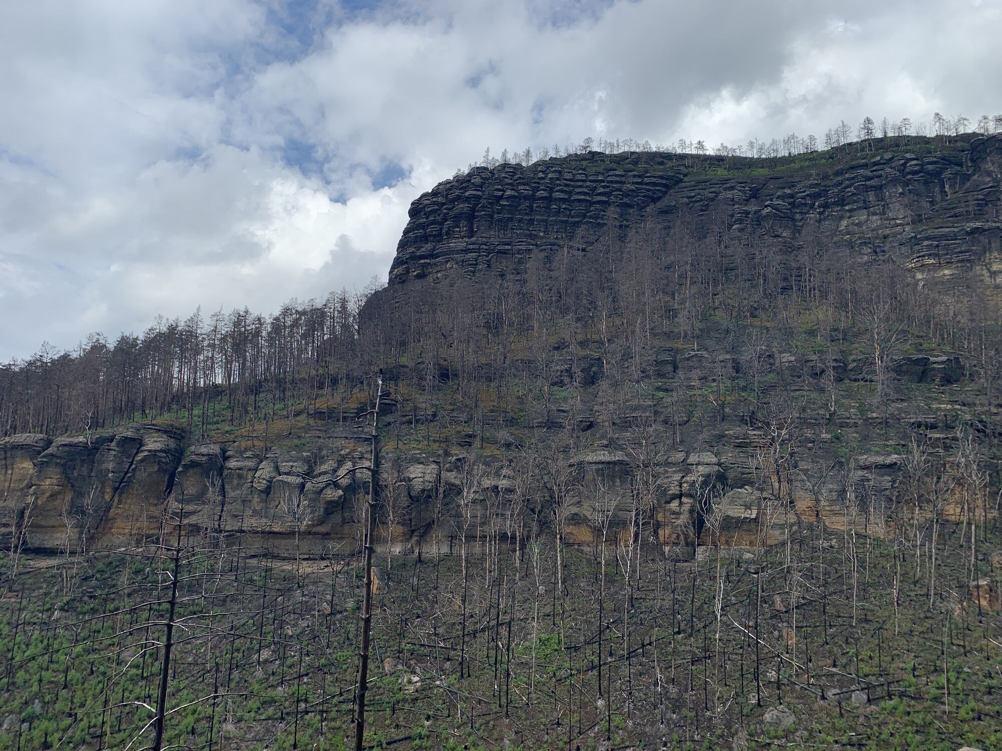
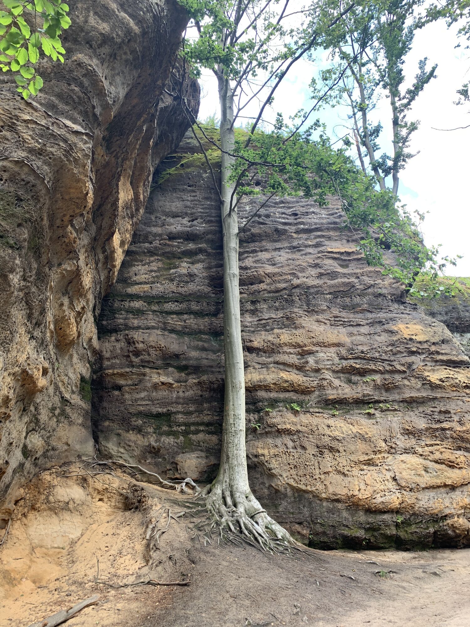
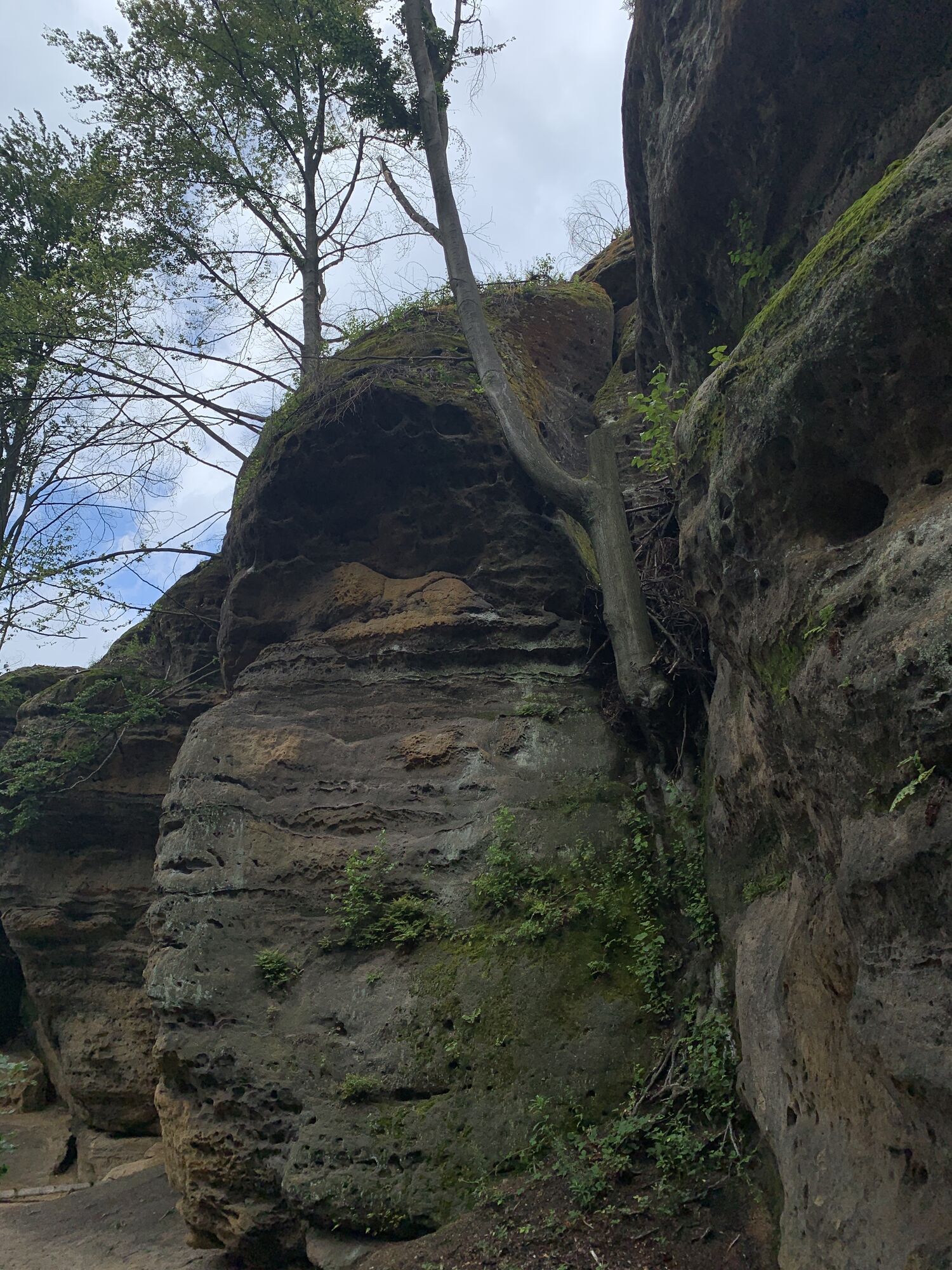
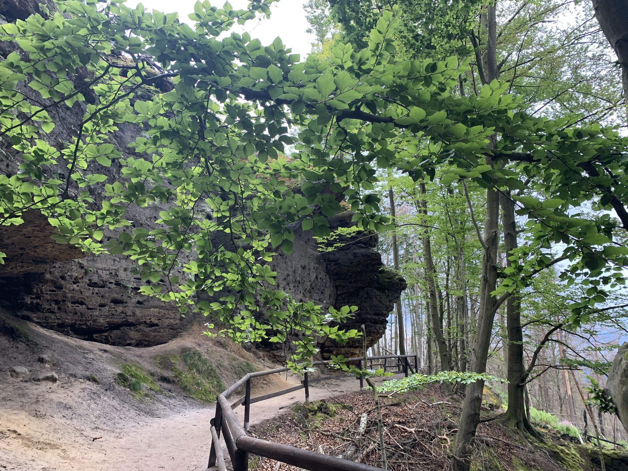
 © Roger StahlCreated on 13.09.2025
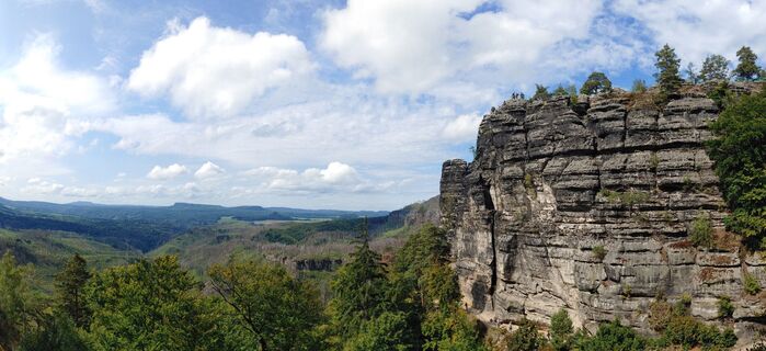 © Roger StahlCreated on 13.09.2025
 © Roger StahlCreated on 13.09.2025
 © Roger StahlCreated on 13.09.2025
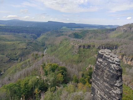 © Roger StahlCreated on 13.09.2025
 © Roger StahlCreated on 13.09.2025
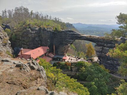 © Roger StahlCreated on 13.09.2025
 © Roger StahlCreated on 13.09.2025
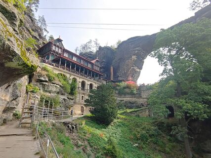 © Roger StahlCreated on 13.09.2025
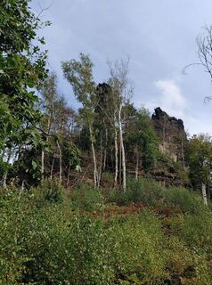 © Roger StahlCreated on 13.09.2025
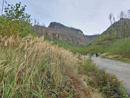 © Roger StahlCreated on 13.09.2025
 © Roger StahlCreated on 13.09.2025
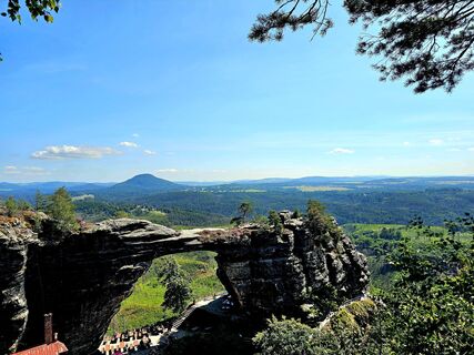
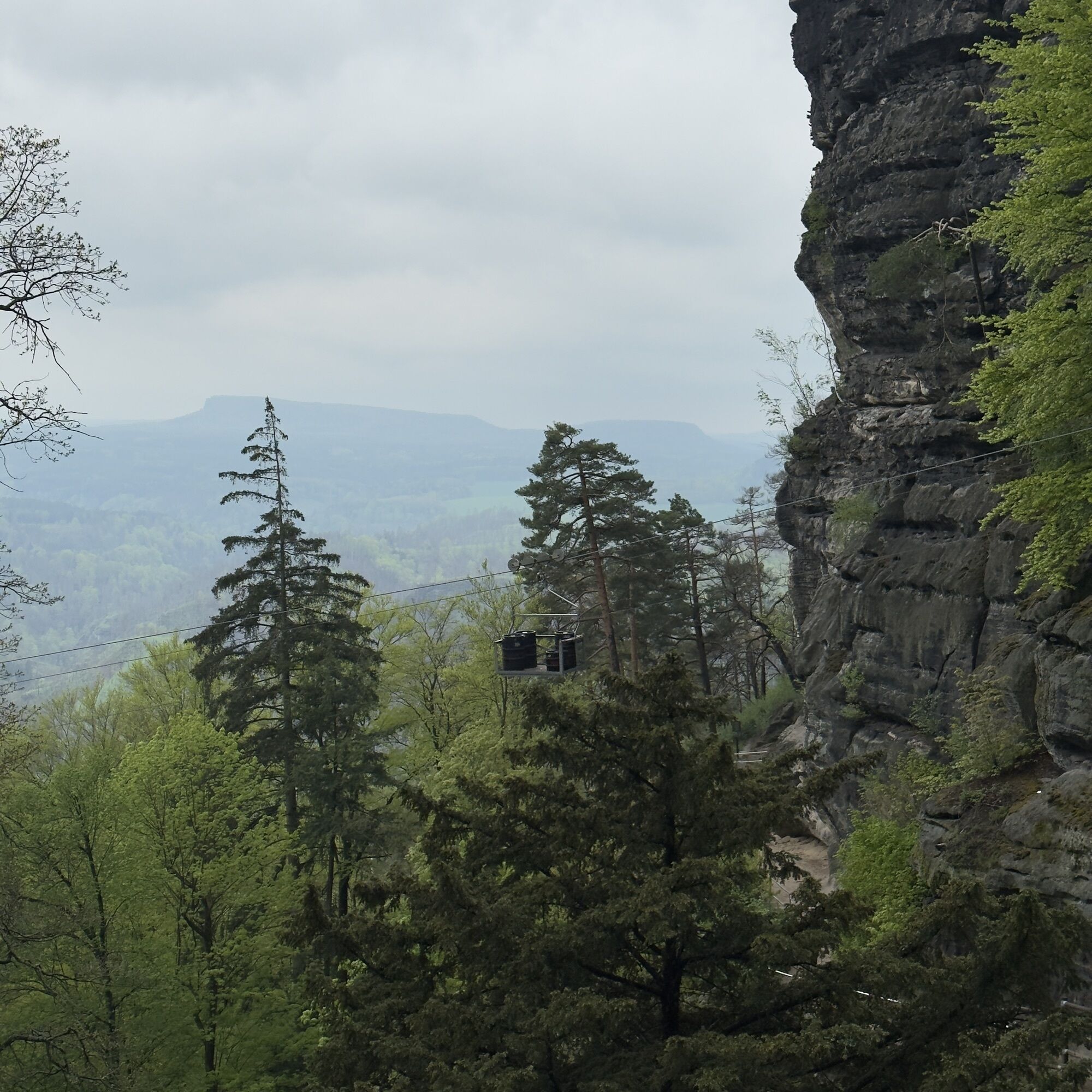
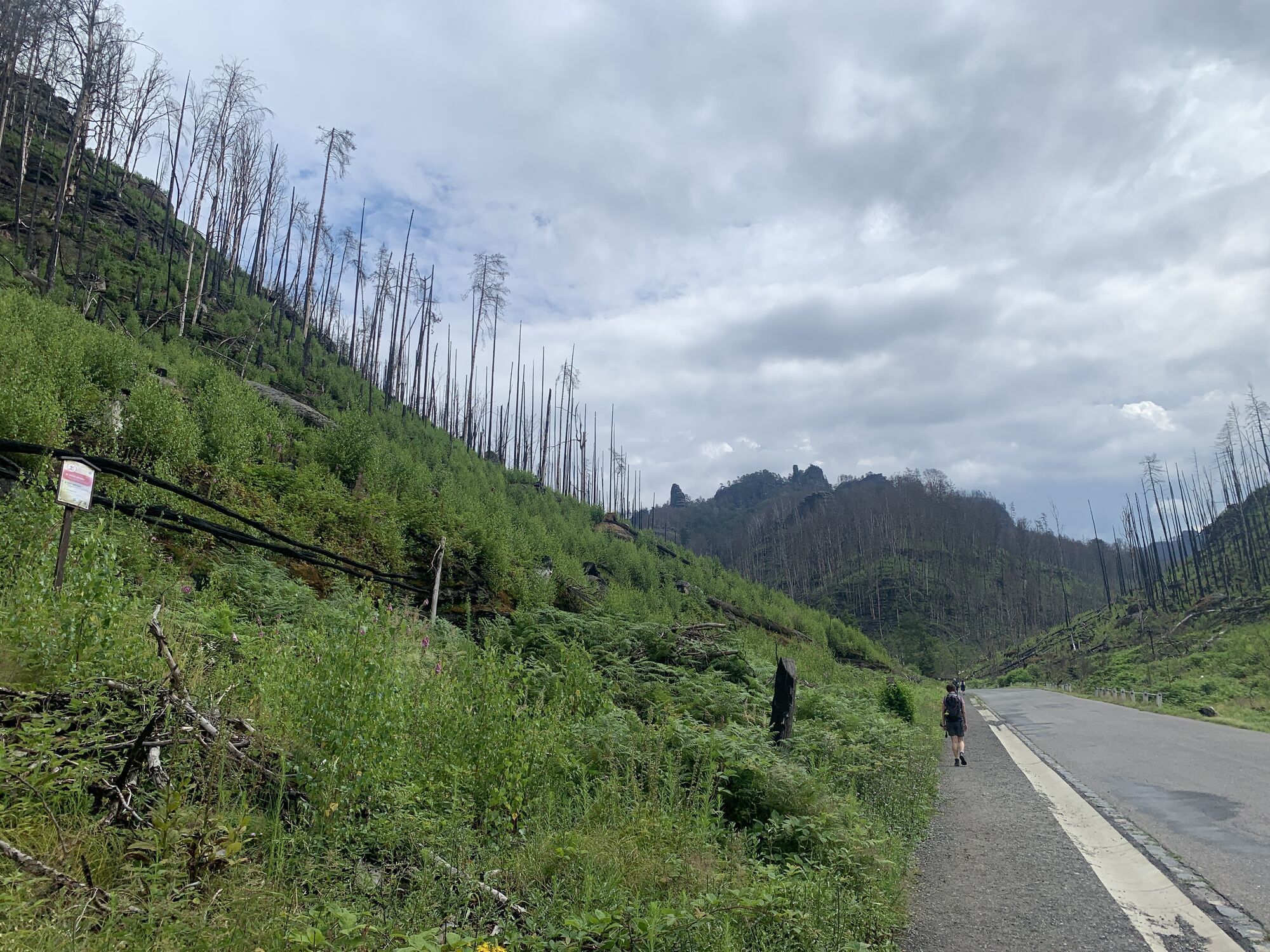
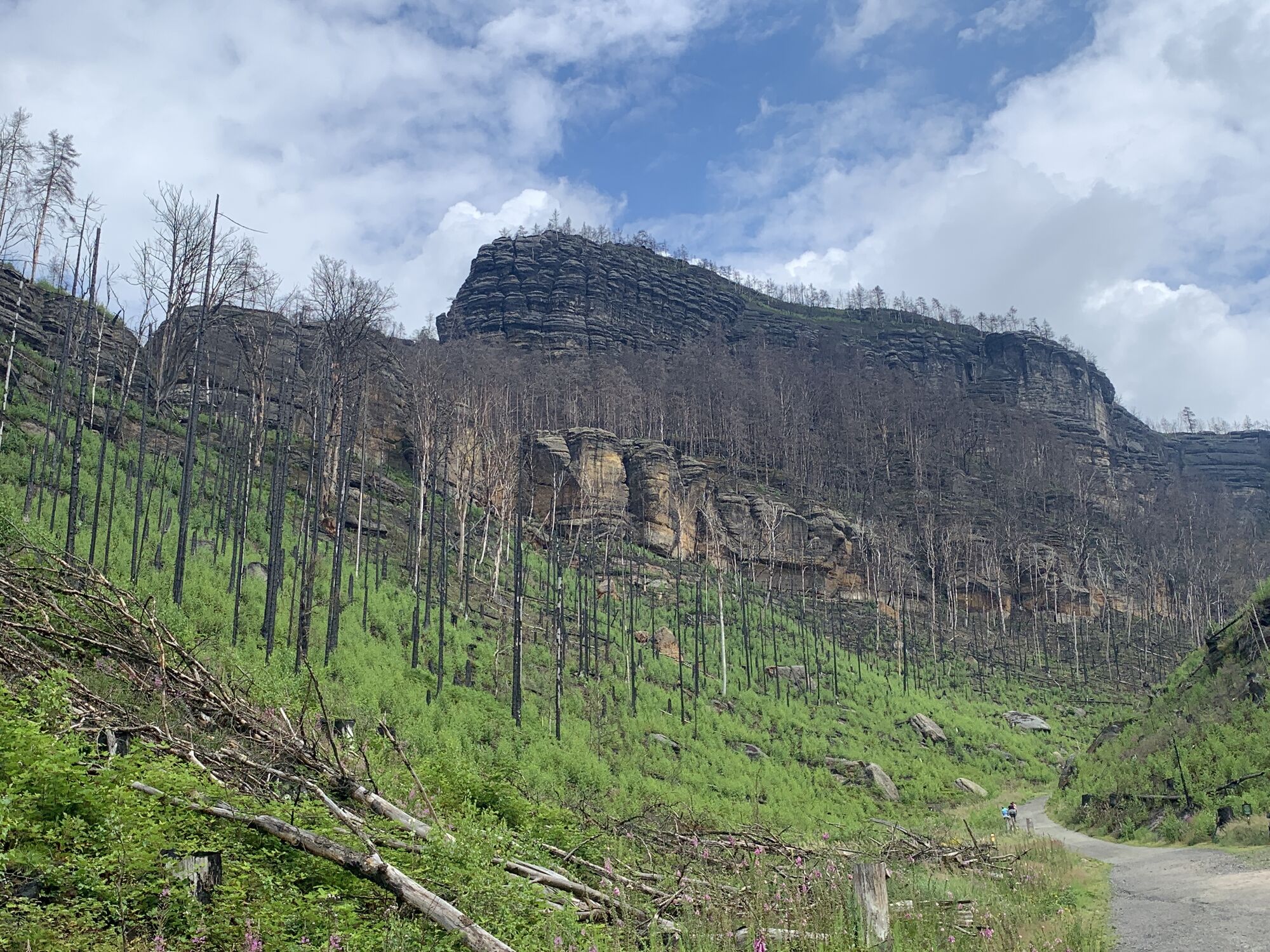
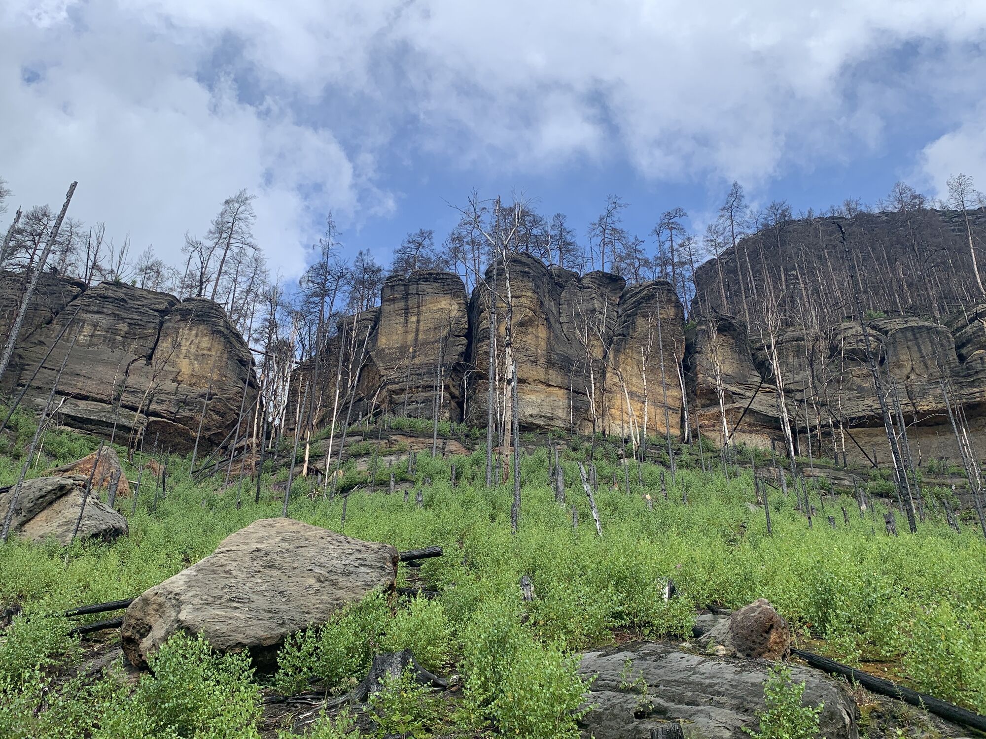
 © Ralf ZumpeCreated on 10.08.2025
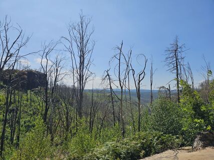 © Ralf ZumpeCreated on 10.08.2025
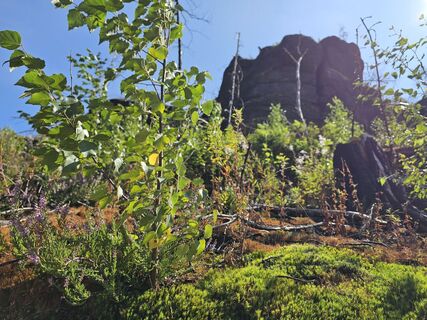 © Ralf ZumpeCreated on 10.08.2025
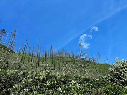 © Ralf ZumpeCreated on 10.08.2025
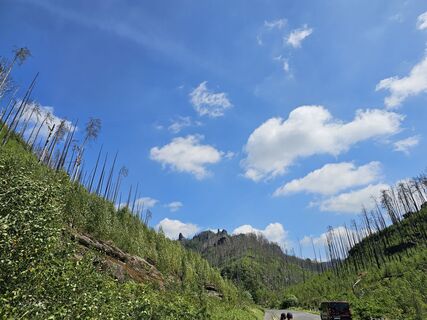 © Ralf ZumpeCreated on 10.08.2025
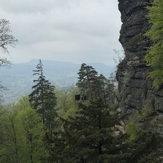 © Steffen KieselCreated on 25.04.2025
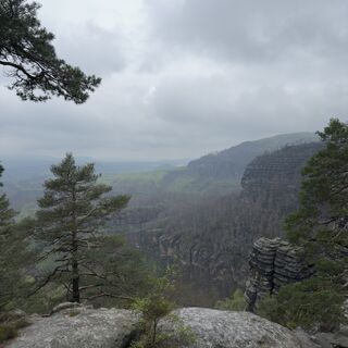 © Steffen KieselCreated on 25.04.2025
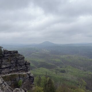 © Steffen KieselCreated on 25.04.2025
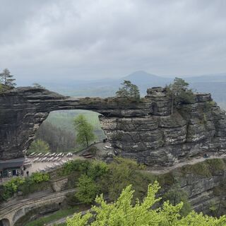 © Steffen KieselCreated on 25.04.2025
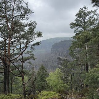 © Steffen KieselCreated on 25.04.2025
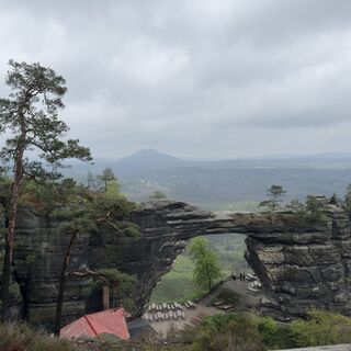 © Steffen KieselCreated on 25.04.2025
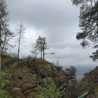 © Steffen KieselCreated on 25.04.2025
 © Steffen KieselCreated on 25.04.2025
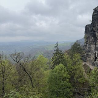 © Steffen KieselCreated on 25.04.2025
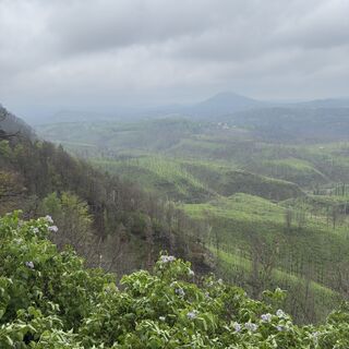 © Steffen KieselCreated on 25.04.2025
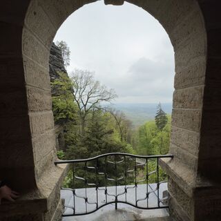 © Steffen KieselCreated on 25.04.2025
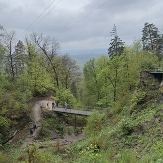 © Steffen KieselCreated on 25.04.2025
 © Steffen KieselCreated on 25.04.2025
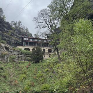 © Steffen KieselCreated on 25.04.2025
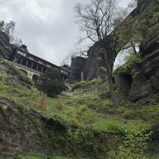 © Steffen KieselCreated on 25.04.2025
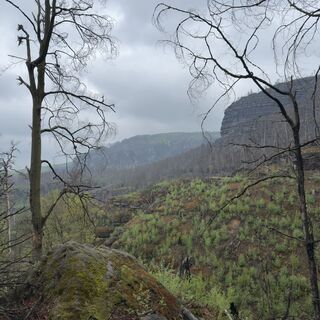 © Steffen KieselCreated on 25.04.2025
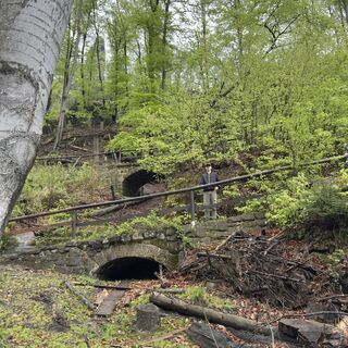 © Steffen KieselCreated on 25.04.2025
 © Steffen KieselCreated on 25.04.2025


Route
Czech Brethren Cave
(370 m)
Cave entrance
3,5 km
Sokolí hnízdo
(428 m)
Restaurant
3,9 km
Malý Pravčický kužel
(399 m)
Summit
4,1 km
Hraniční kámen
(151 m)
Summit
8,4 km
Zelenáč
(159 m)
Summit
8,4 km
Route
Hrensko/PräbischTor/BöhmischSchweiz/Tschechien
light
Hiking
8,51
km
Czech Brethren Cave
(370 m)
Cave entrance
3,5 km
Křížový kámen
(404 m)
Viewpoint
3,8 km
Sokolí hnízdo
(428 m)
Restaurant
3,9 km
Malý Pravčický kužel
(399 m)
Summit
4,1 km
Hraniční kámen
(151 m)
Summit
8,4 km
Zelenáč
(159 m)
Summit
8,4 km

Valuations
2 Comments
Markus Müllrick
14. Sep. 2025
Präbischtor
Massenpilgerung
Popular tours in the neighbourhood
- 4,5
Kuhstall, Himmelsleiter und Schneiderloch
mediumHiking4,06 km - 5,0
Prebischtor
mediumHiking18,9 km - 4,7
Pfaffenstein Sachsen/Deutschland
mediumHiking3,89 km - 5,0
entlang der Schrammsteine, Breite Kluft, Affenwand
mediumHiking11,6 km - 5,0
Traumrunde
heavyHiking10,3 km - 4,0
Paffenstein Rundweg
mediumHiking5,79 km - 3,5
Rathen/Lilienstein/Rathen
mediumHiking14 km - 5,0
Bad Schandau, Schrammsteinrunde
mediumHiking11,0 km Anspruchsvoller Rundwanderweg von Schmilka
mediumMountain hiking16,6 km- 5,0
Promenade durch die Affensteinen
mediumHiking12,3 km

Hiking & Tracking

Over 550.000 tour suggestions, detailed maps and an intuitive route planner make the app a must-have for all nature enthusiasts.

Don't miss out on offers and inspiration for your next holiday
Subscribe to the newsletter
Error
An error has occurred. Please try again.Thank you for your registration
Your e-mail address has been added to the mailing list.
Tours throughout Europe
Austria Switzerland Germany Italy Slovenia France Netherlands Belgium Poland Liechtenstein Czechia Slovakia Spain Croatia Bosnia and Herzegovina Luxembourg Andorra Portugal Iceland United Kingdom Ireland Greece Albania North Macedonia Malta Norway Montenegro Moldova Kosovo Hungary San Marino Romania Estonia Latvia Belarus Cyprus Lithuania Serbia Bulgaria Monaco Denmark Sweden Finland